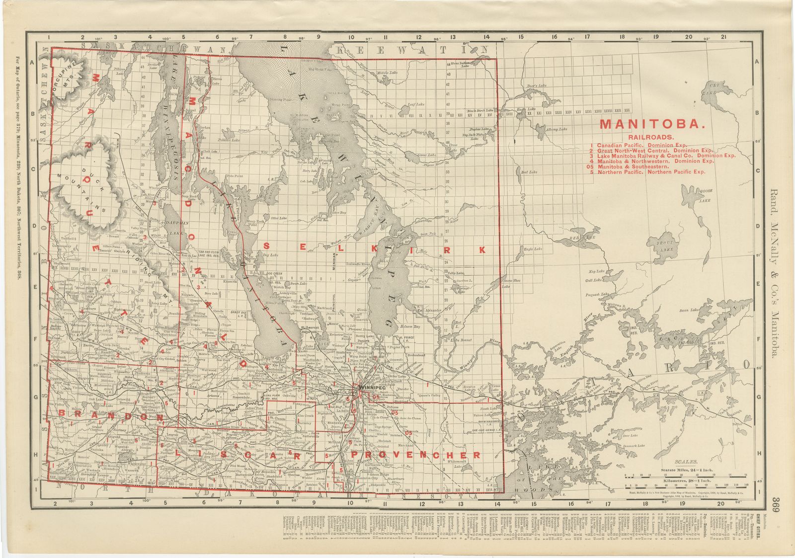
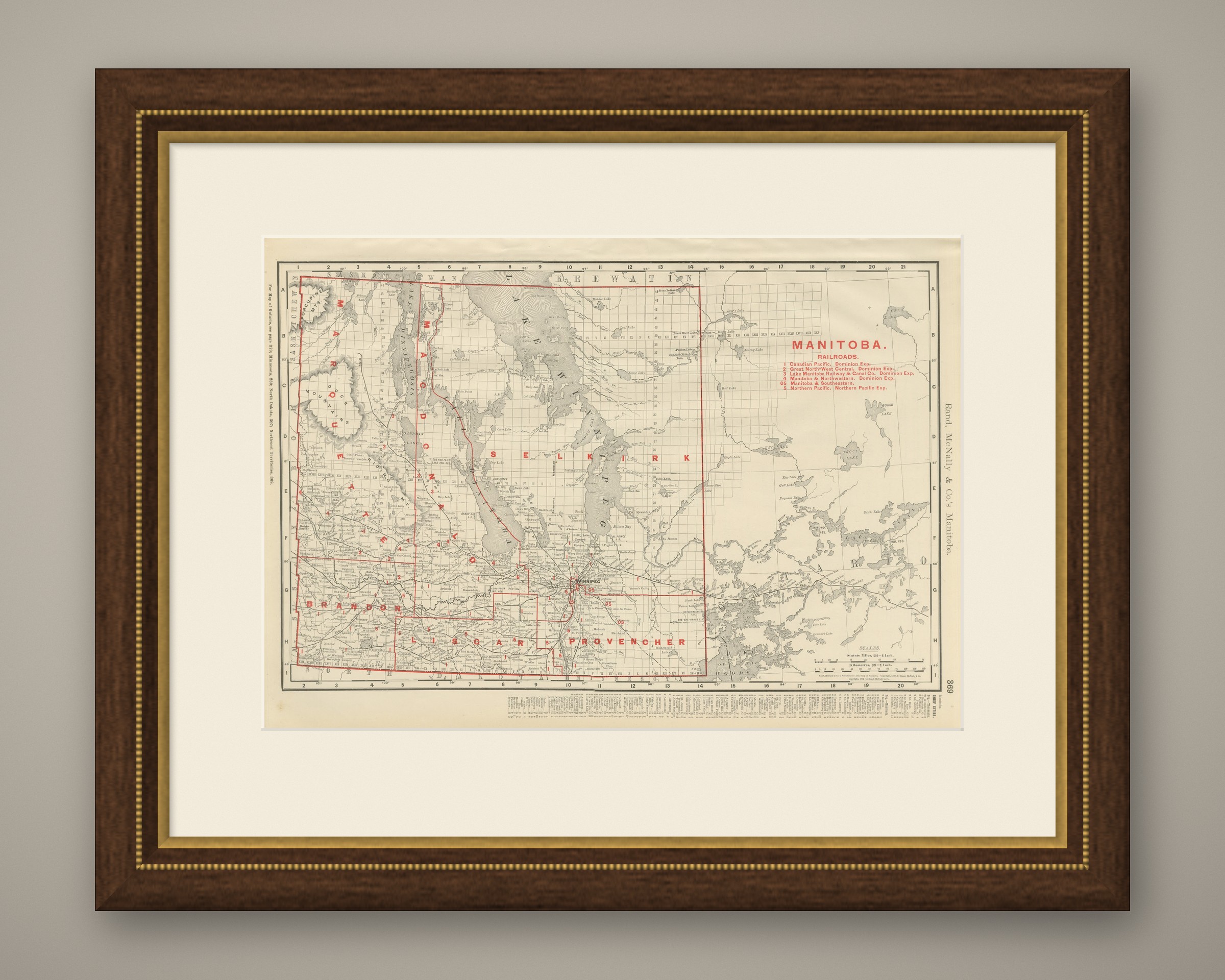
Antique Map of Manitoba, with Lake Winnipeg, Rand McNally, 1899
€ 295
Original antique · The actual sheet photographed · Certificate of authenticity on request · Sold unframed · Worldwide shipping from € 15 (rates)
Date
1899
Mapmaker / artist
Rand, McNally & Co.
Publisher
Rand, McNally & Co., Chicago
Technique
Lithograph
Colouring
Printed colour
Condition
Good
Reference
BG-12793-2-78
Condition
Good condition for its age. Age toning, deeper at the sheet edges, a small crease to the upper left corner, a few small spots and minor edge wear. Please review the images for further condition details.
About this sheet
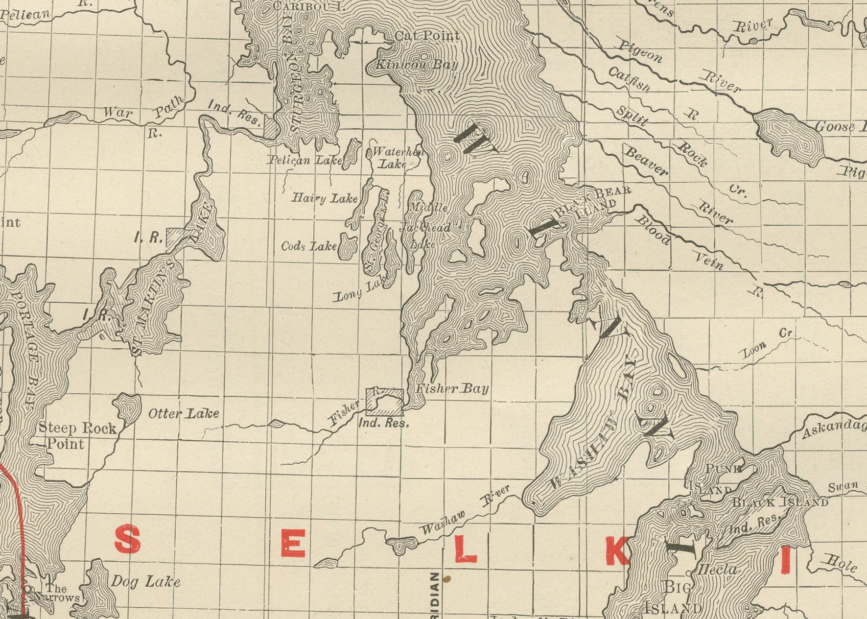
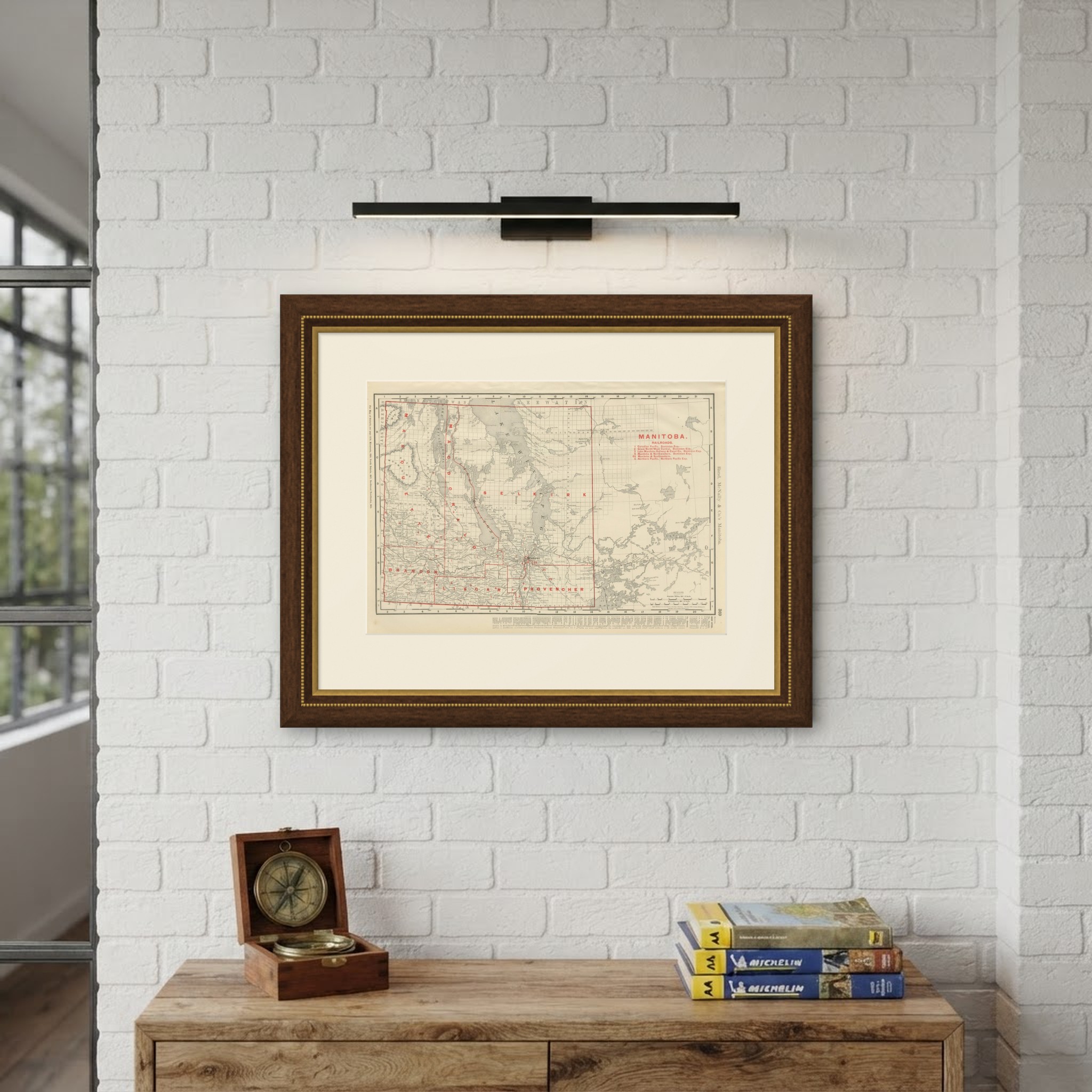
This antique map of Manitoba, published by Rand McNally in 1899 on page 369 of its indexed atlas, runs from the Saskatchewan and North West Territories border in the west, where a partial township survey grid already extends into the unorganised country, to the edge of Ontario and the Lake of the Woods district in the east. Lake Winnipeg, Lake Manitoba, Lake Winnipegosis and Lake Saint Martin, the chain of large shallow lakes that dominates the centre of the province, are mapped in full, with the Dauphin, Riding Mountain, Duck Mountain and Porcupine Mountain uplands in hachured relief to the west.
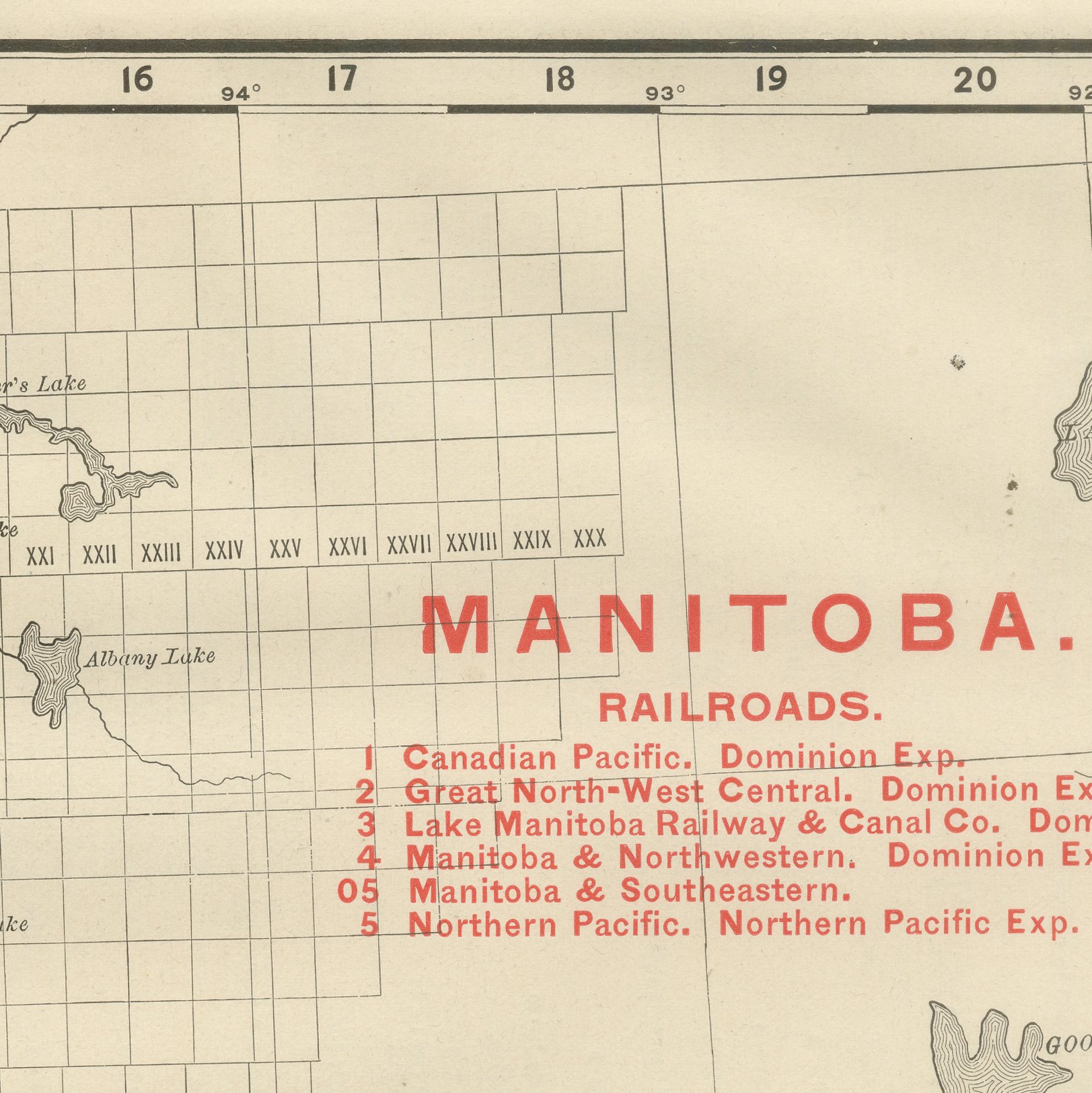
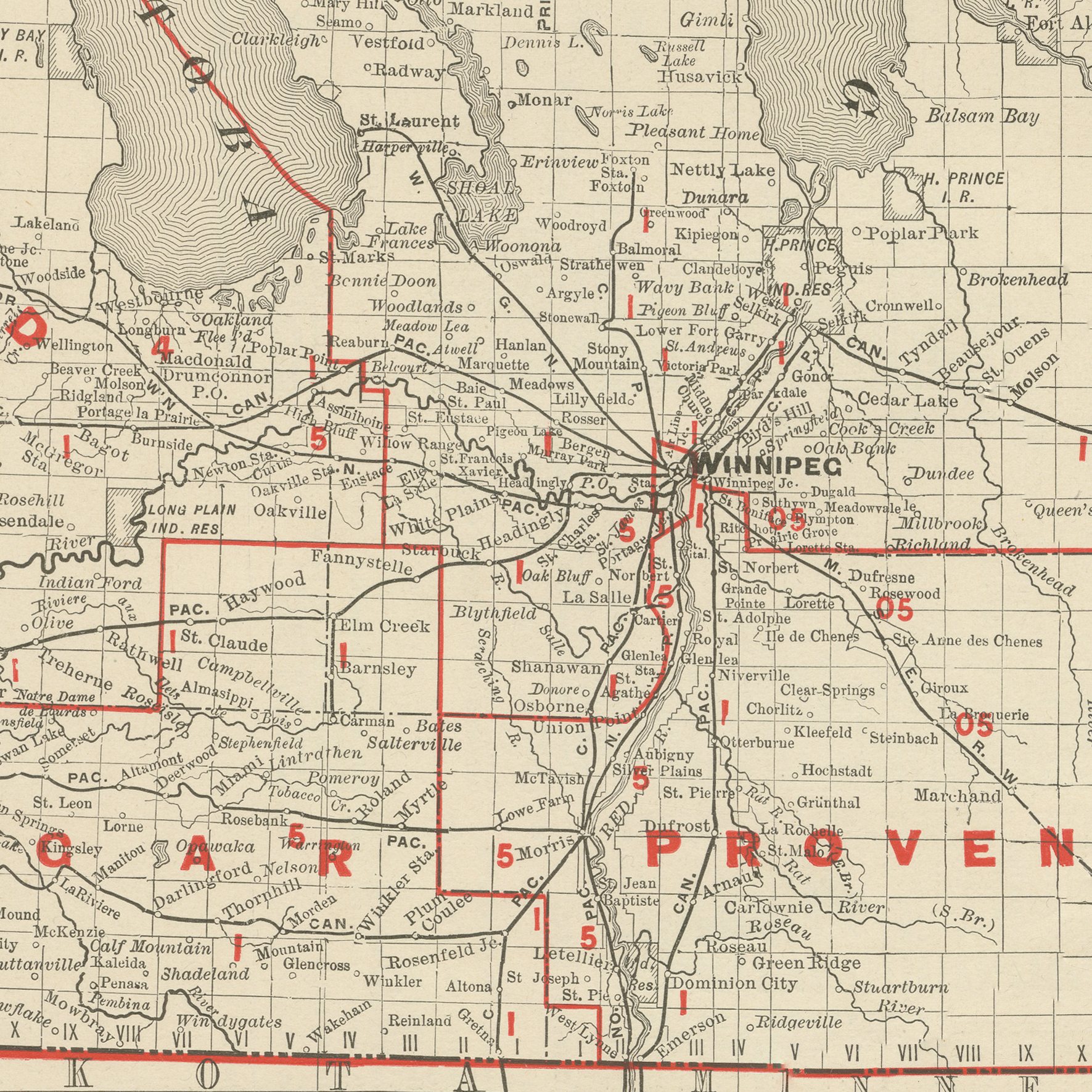
The federal electoral divisions of Marquette, Selkirk, Lisgar and Provencher are named and outlined in red, with Brandon shown as its own district in the southwest, and Winnipeg is marked at the meeting of the Red and Assiniboine Rivers. A red-numbered railroad key at upper right lists five companies then operating, the Canadian Pacific, the Great North-West Central, the Lake Manitoba Railway and Canal Company, the Manitoba and Northwestern and the Manitoba and Southeastern, together with the Northern Pacific reaching up from the American border.
The Keewatin district east of the province, still federal territory rather than part of Manitoba in 1899 (the provincial boundaries would not reach their present line until 1912), is crossed only by survey township lines and left largely unnamed. Scale is given as 24 statute miles to the inch, and a note directs the reader to the adjoining Ontario map for the territory further east.
Rand McNally, which grew from a Chicago printing business started in the 1850s by William Rand and joined by Andrew McNally, was by the 1890s one of the leading map publishers in the United States, known for railroad maps revised from issue to issue. This antique map of Manitoba is an original 1899 atlas sheet, printed as a colour lithograph with the outline in black and the colours printed over it. It is suitable for framing. The colour is printed rather than applied by hand.
The sheet is in good condition for its age, with age toning, deeper at the sheet edges, a small crease to the upper left corner, a few small spots and minor edge wear. Please review the images for further condition details.
This is an original antique map, not a modern reproduction. This item is sold unframed. Any framed or interior images are shown for presentation and inspiration only, unless the listing explicitly states that the item is sold framed.