About this sheet
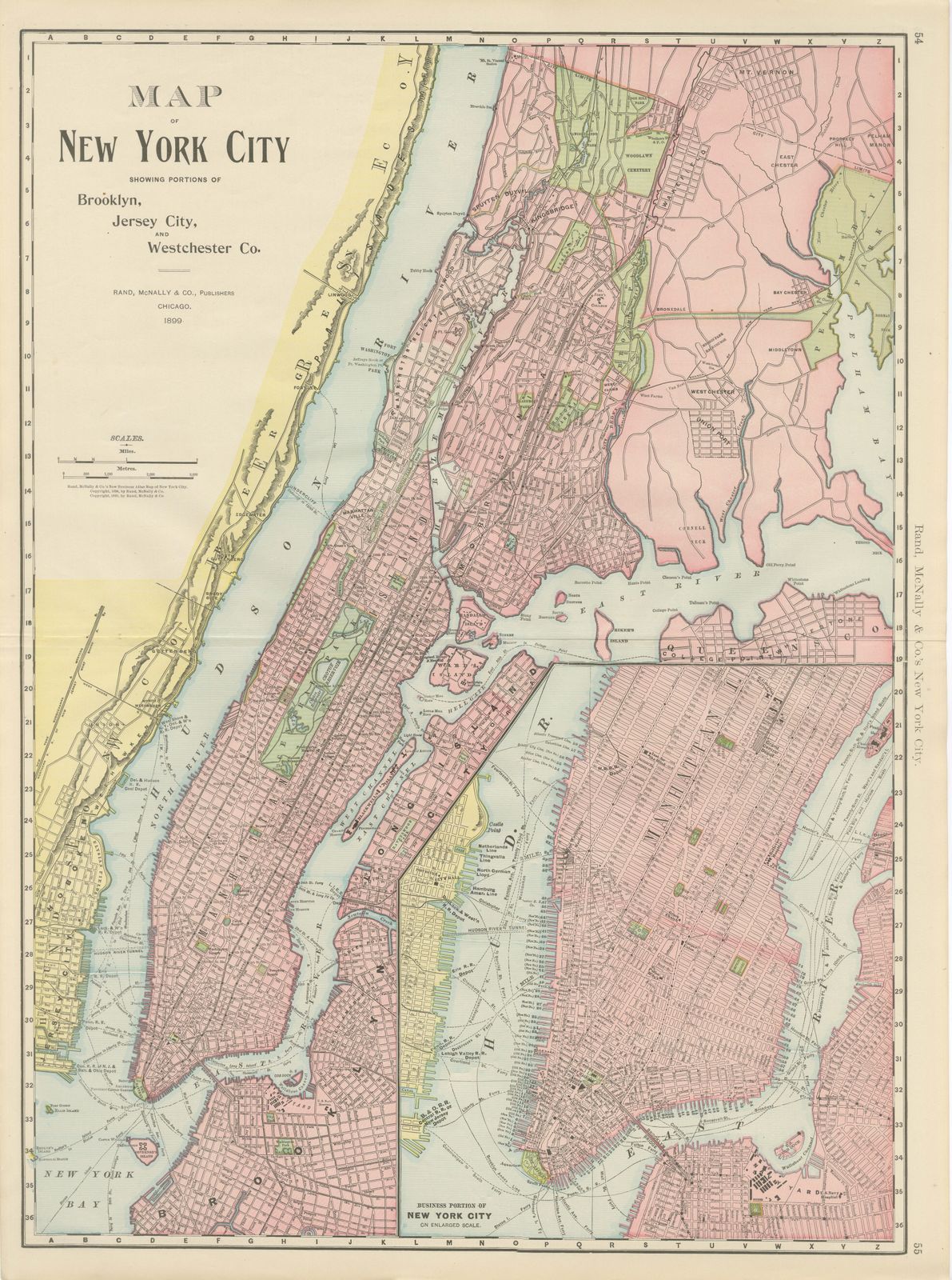
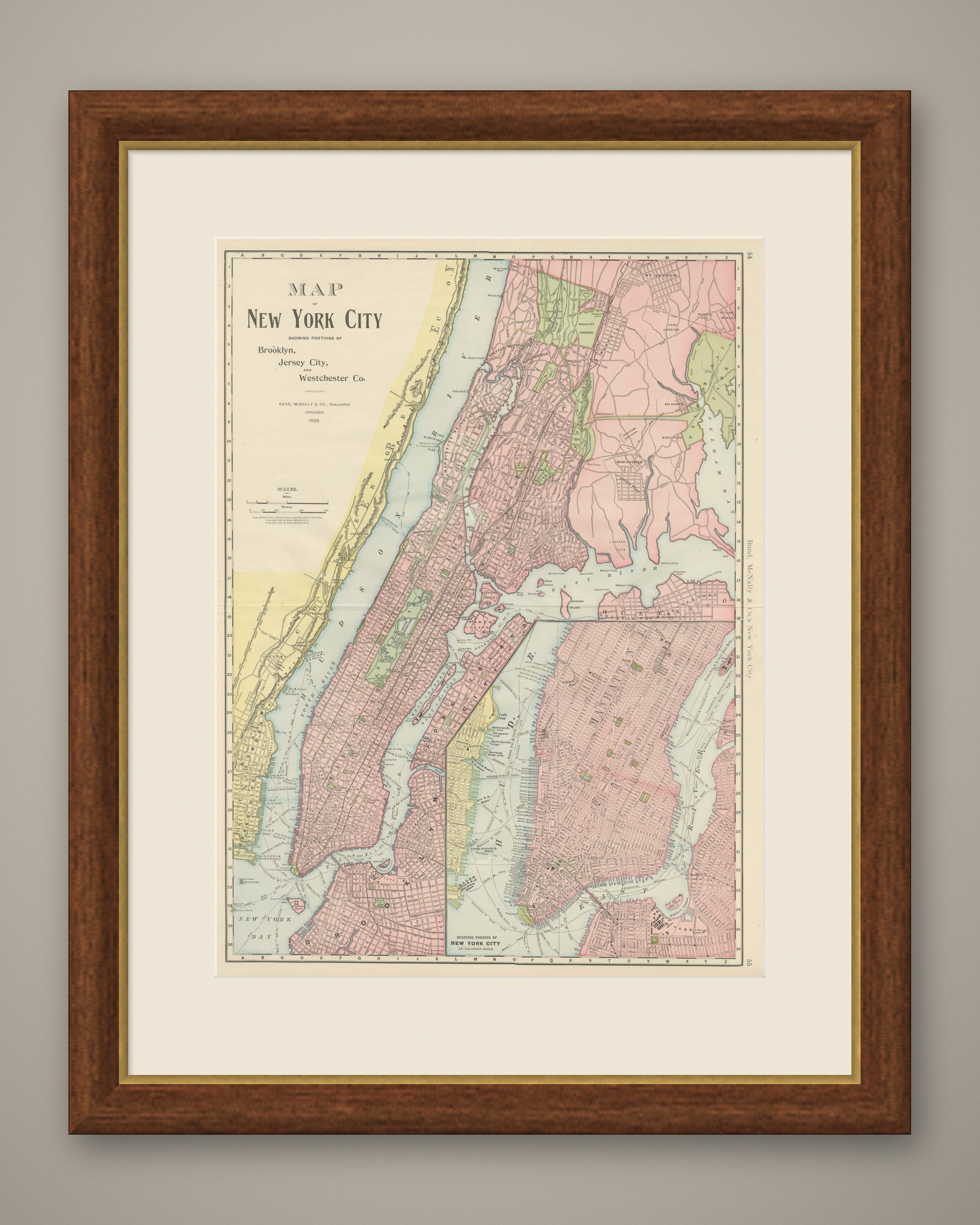
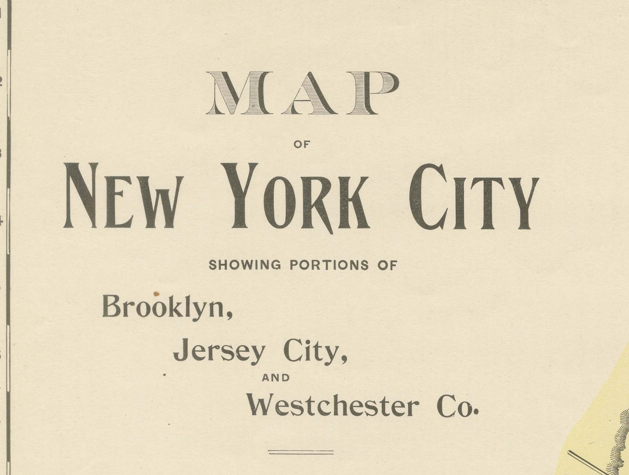
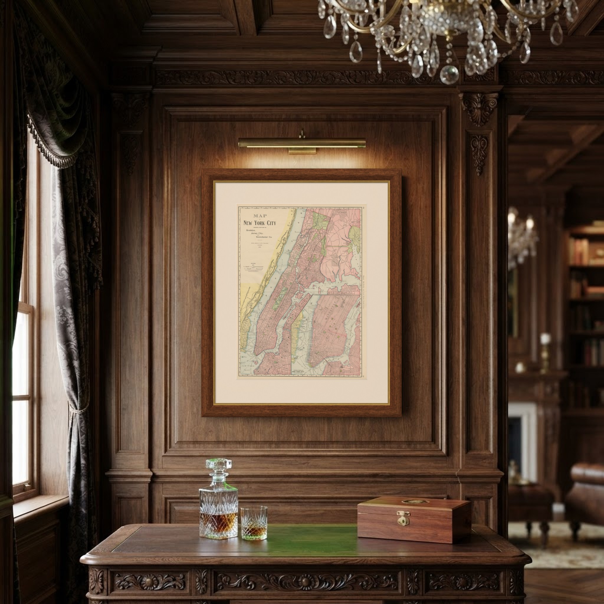
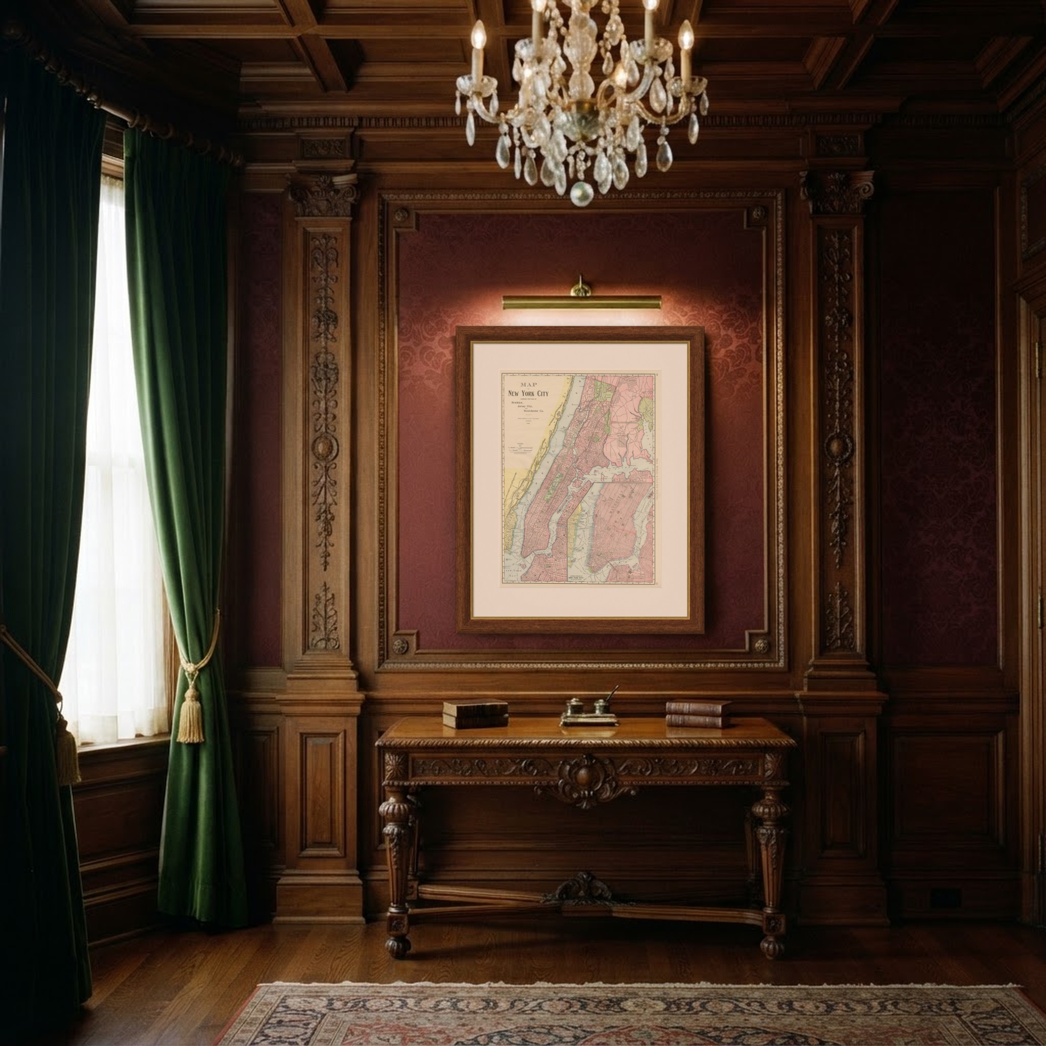
Dated 1899 in its own title panel, this antique map of New York City by Rand McNally of Chicago is titled in full "Map of New York City Showing Portions of Brooklyn, Jersey City, and Westchester County", a double-page sheet on pages 54 and 55 of the indexed atlas.
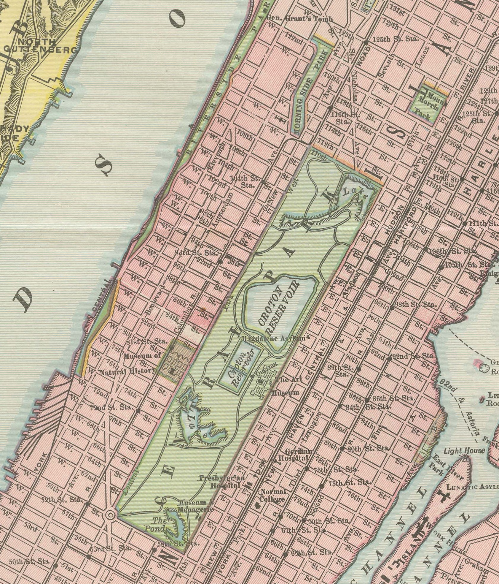
Manhattan runs the length of the sheet between the Hudson and East Rivers, with Central Park a clear green rectangle at its centre. The Bronx and the Westchester towns, Mount Vernon, Pelham, Westchester and East Chester among them, fill the upper right, and Long Island City and western Queens occupy the lower right. Ward's Island, Blackwell's Island and Randall's Island are all named in the East River, and Woodlawn Cemetery is marked in the Bronx alongside the park system already extending north from the city proper.
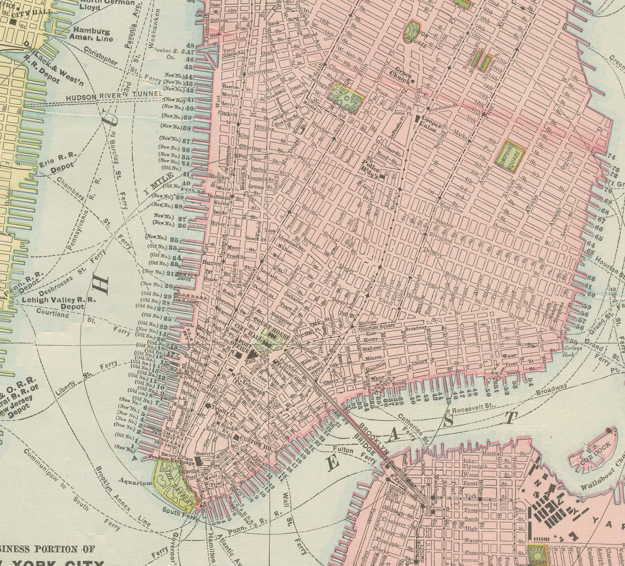
A large inset in the lower right, "Business Portion of New York City on Enlarged Scale", pulls in on lower Manhattan south of about 14th Street, with the financial district and the ferry terminals at the tip of the island drawn at a scale fine enough to show individual blocks. The street grid, rivers and shoreline are printed in black, with pink built-up areas, green parks and pale township tints in Westchester. Scale bars in miles and metres accompany the title panel in the upper left.
Rand McNally's roots lie in a Chicago printing business started by William Rand in the 1850s and joined by Andrew McNally. The firm had become one of the foremost map publishers in the United States by the 1890s, and its indexed atlas of 1899 shows the house speciality at work: railroad and commercial maps revised from issue to issue.
Technically the sheet is a lithograph with printed colour: the outline was printed in black and the colours were printed over it, so none of the colouring was added by hand. Once framed, this antique map of New York City would suit a home or office in the city today, and it will appeal to collectors of American city plans and local history.
The sheet is in good condition for its age, with light, even age toning, a few small spots in the margins and the original central fold as issued. Please review the images for further condition details.
This is an original antique map, not a modern reproduction. This item is sold unframed. Any framed or interior images are shown for presentation and inspiration only, unless the listing explicitly states that the item is sold framed.