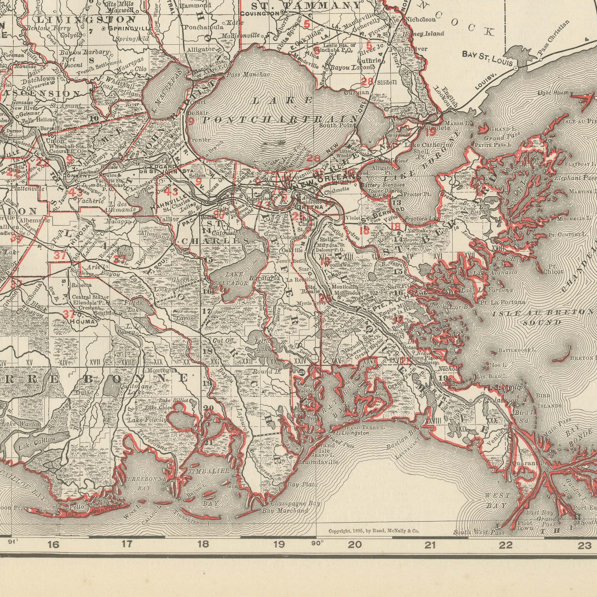
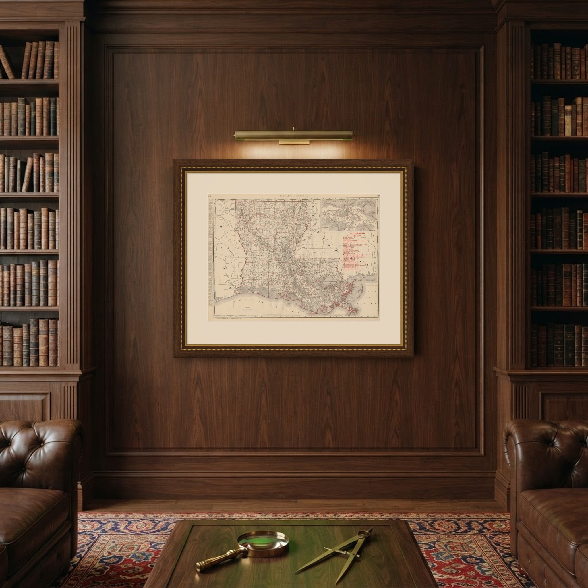
Antique Map of Louisiana, The Pelican State, Rand McNally, 1899
€ 395
Original antique · The actual sheet photographed · Certificate of authenticity on request · Sold unframed · Worldwide shipping from € 15 (rates)
Date
1899
Mapmaker / artist
Rand, McNally & Co.
Publisher
Rand, McNally & Co., Chicago
Technique
Lithograph
Colouring
Printed colour
Condition
Good
Reference
BG-12793-2-54
Condition
Good condition for its age. Light age toning, a few small spots in the margins and the original central fold as issued. Please review the images for further condition details.
About this sheet
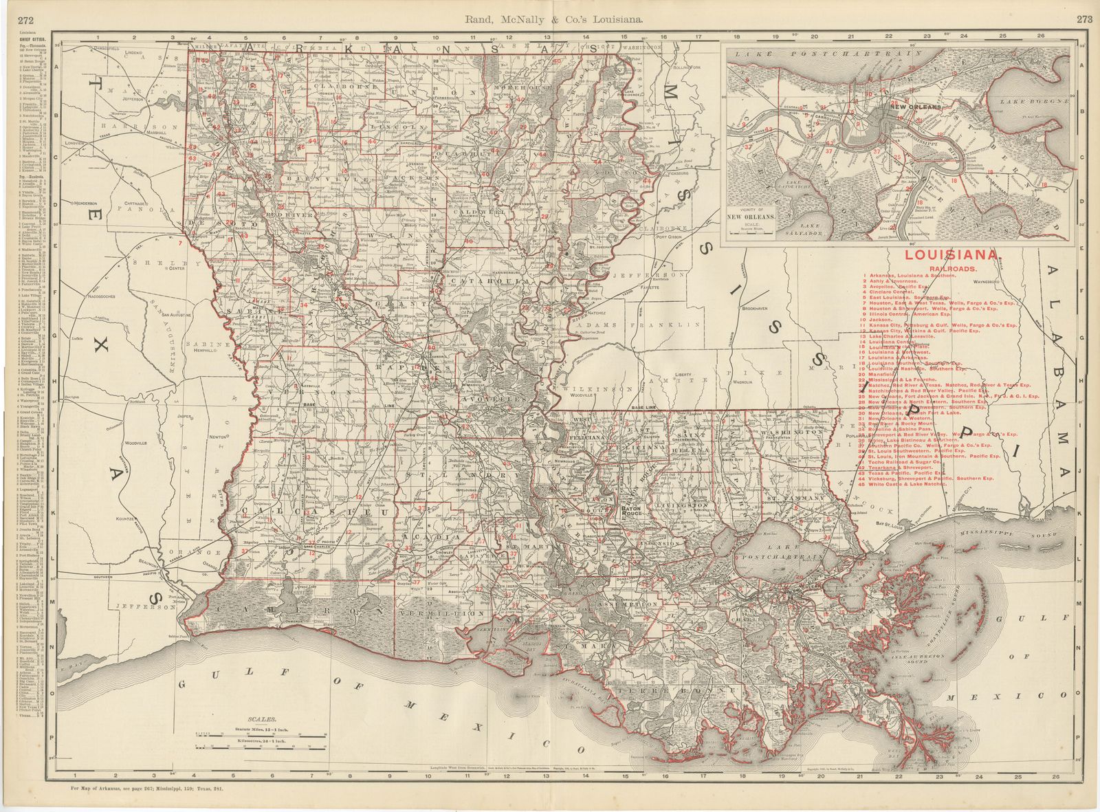
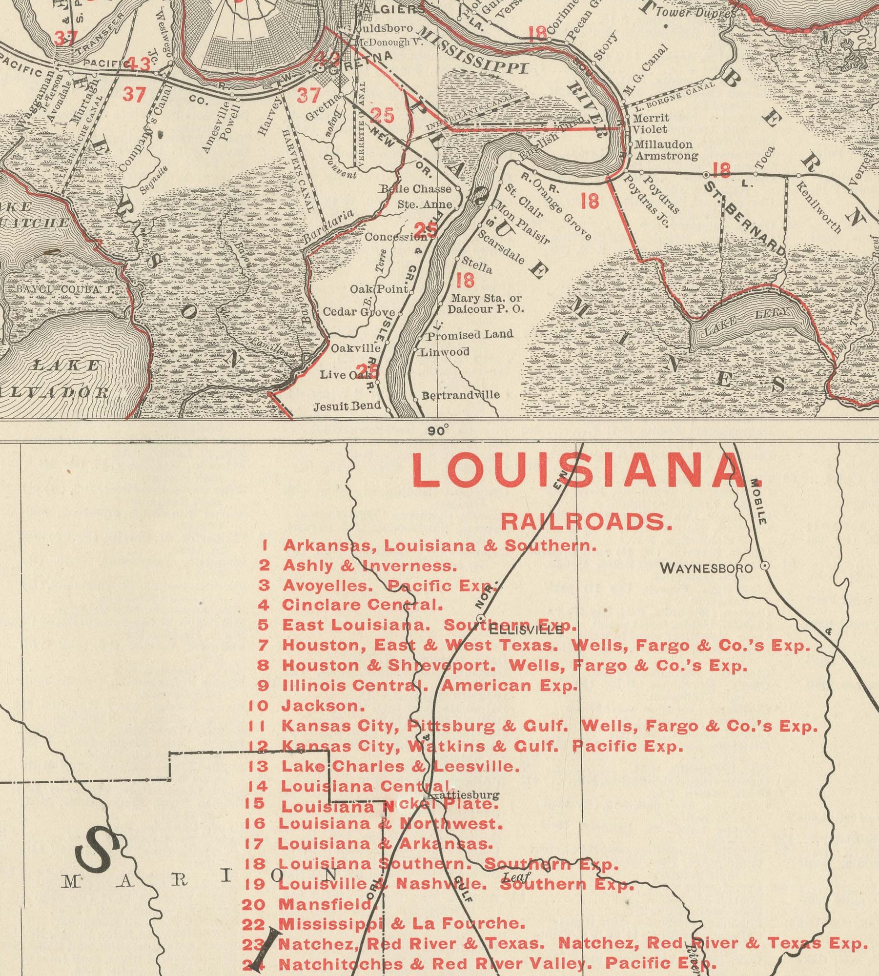
Rand McNally's 1899 antique map of Louisiana occupies a double-page spread, pages 272 and 273 of the firm's indexed atlas, and maps the state parish by parish from the Arkansas line in the north to the deeply fretted delta coastline on the Gulf of Mexico. The Sabine River forms the western boundary against Texas, and the Mississippi River cuts across the northeast corner toward the line with Mississippi. A list of the state's chief cities with their populations runs down the left margin, and a numbered key to forty-six railroad companies occupies the right side, tied to the pink lines that fan out from Shreveport, Baton Rouge and New Orleans across the cotton and sugar parishes.
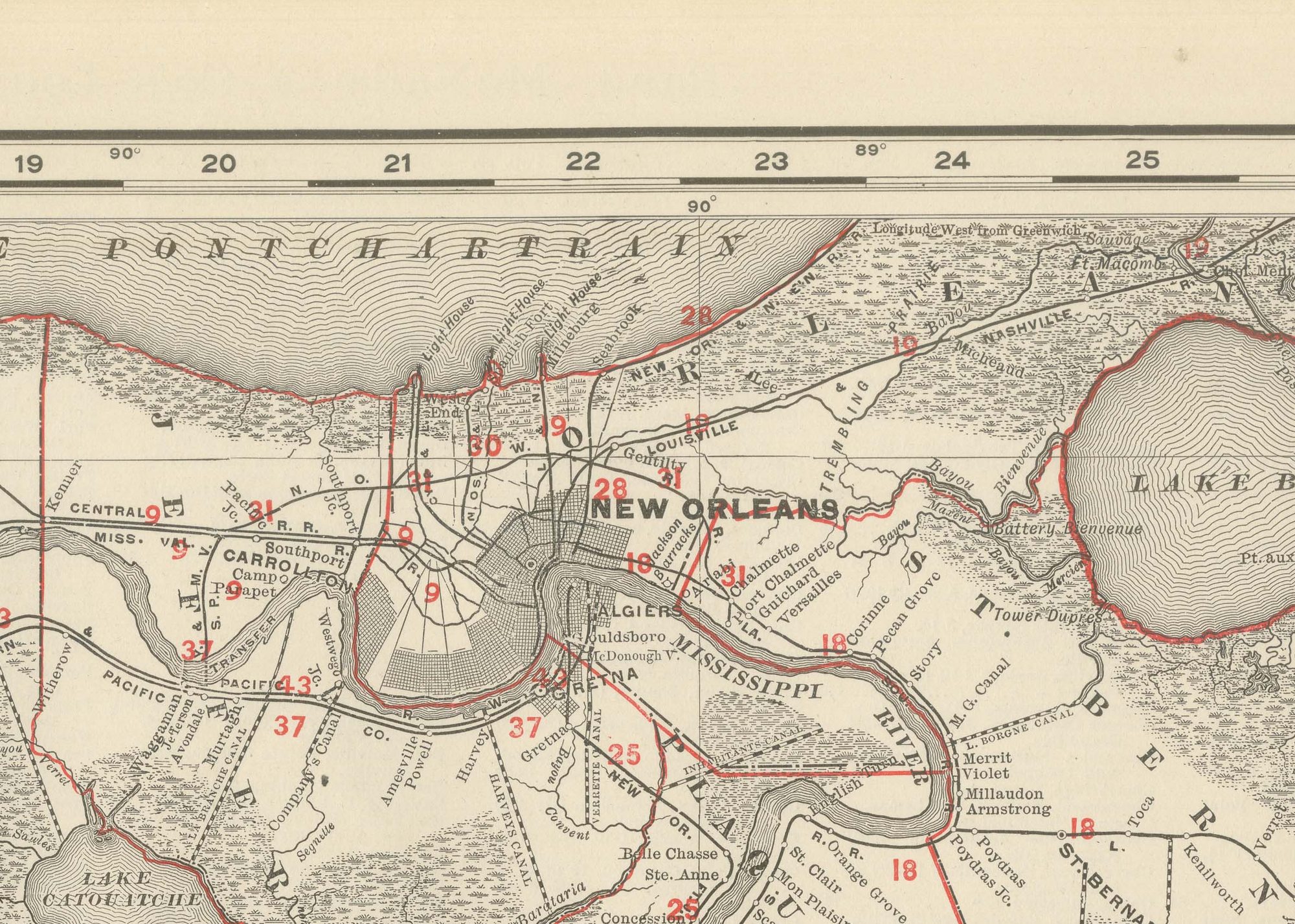
An inset in the upper right corner enlarges New Orleans and its vicinity, showing the crescent of the Mississippi around the city, Lake Pontchartrain and Lake Borgne to the north and east, and the same numbered railroad references used on the main map. The delta country south and east of Baton Rouge is rendered with the fine hachured shading used for the marsh and bayou lands, quite different from the open, squared-off parish lines of the northern cotton belt.
Scale bars in statute miles and kilometres sit at lower left, and a note at the foot directs the reader to the adjoining plates for Arkansas, Mississippi and Texas elsewhere in the volume.
By the 1890s Rand McNally, founded on a Chicago printing business that William Rand began in the 1850s and Andrew McNally joined, was one of the leading map publishers in the United States. The plate is a colour lithograph, the outline printed in black, with the parish tints, the red parish boundary lines and the pink railroad ribbons printed in colour over it. This antique map of Louisiana is an original 1899 atlas sheet, issued folded through the centre, and it frames well. The colour is printed rather than applied by hand.
The sheet is in good condition for its age, with light age toning, a few small spots in the margins and the original central fold as issued. Please review the images for further condition details.
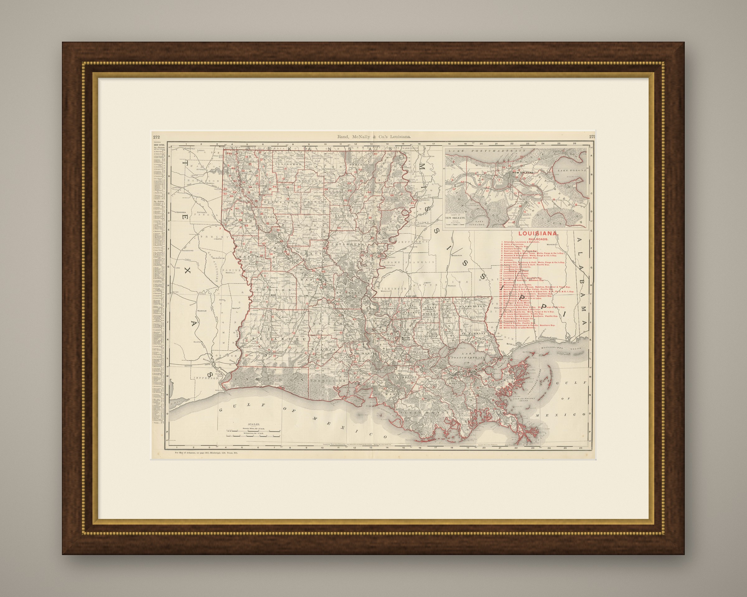
This is an original antique map, not a modern reproduction. This item is sold unframed. Any framed or interior images are shown for presentation and inspiration only, unless the listing explicitly states that the item is sold framed.