About this sheet
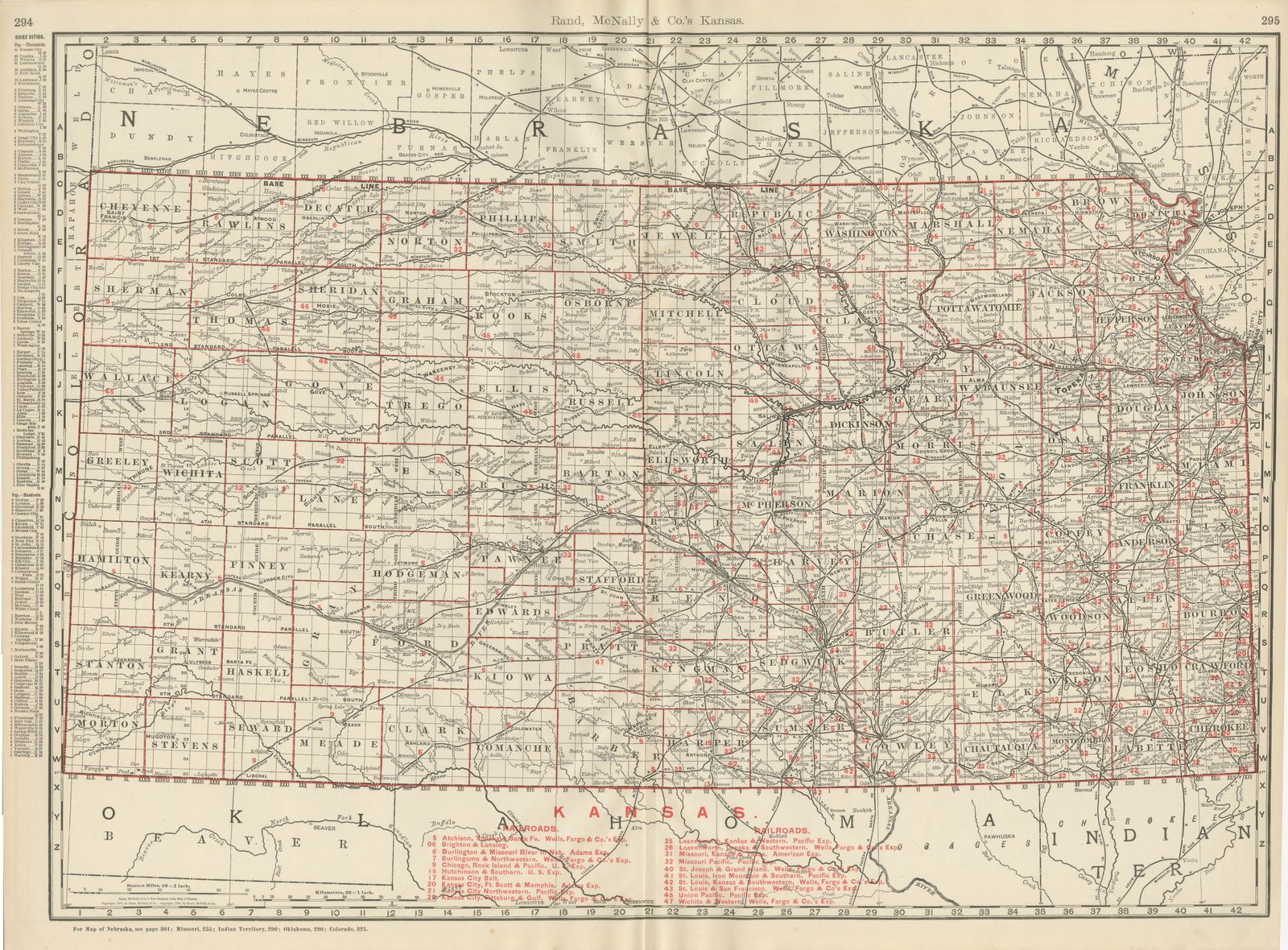
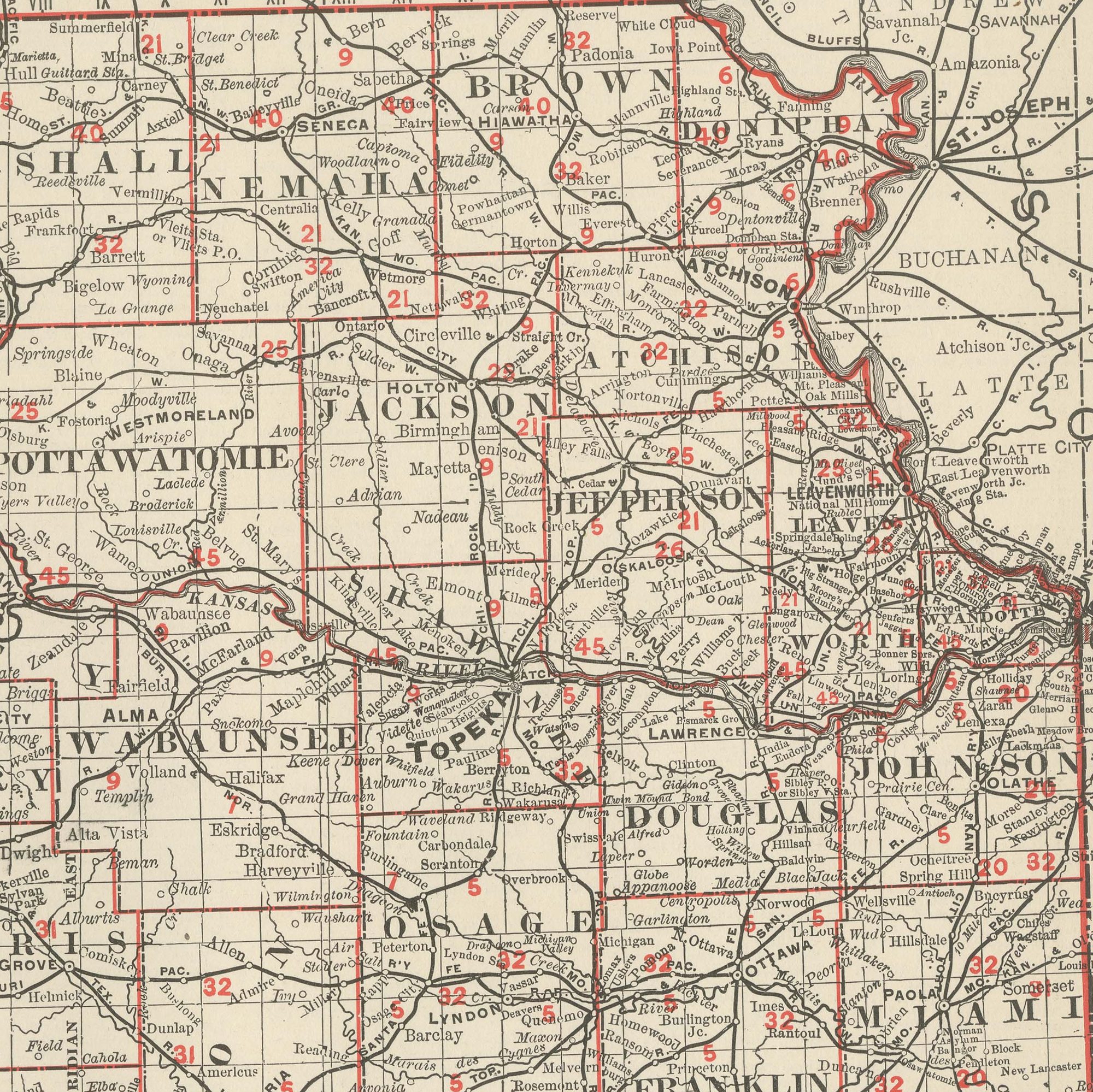
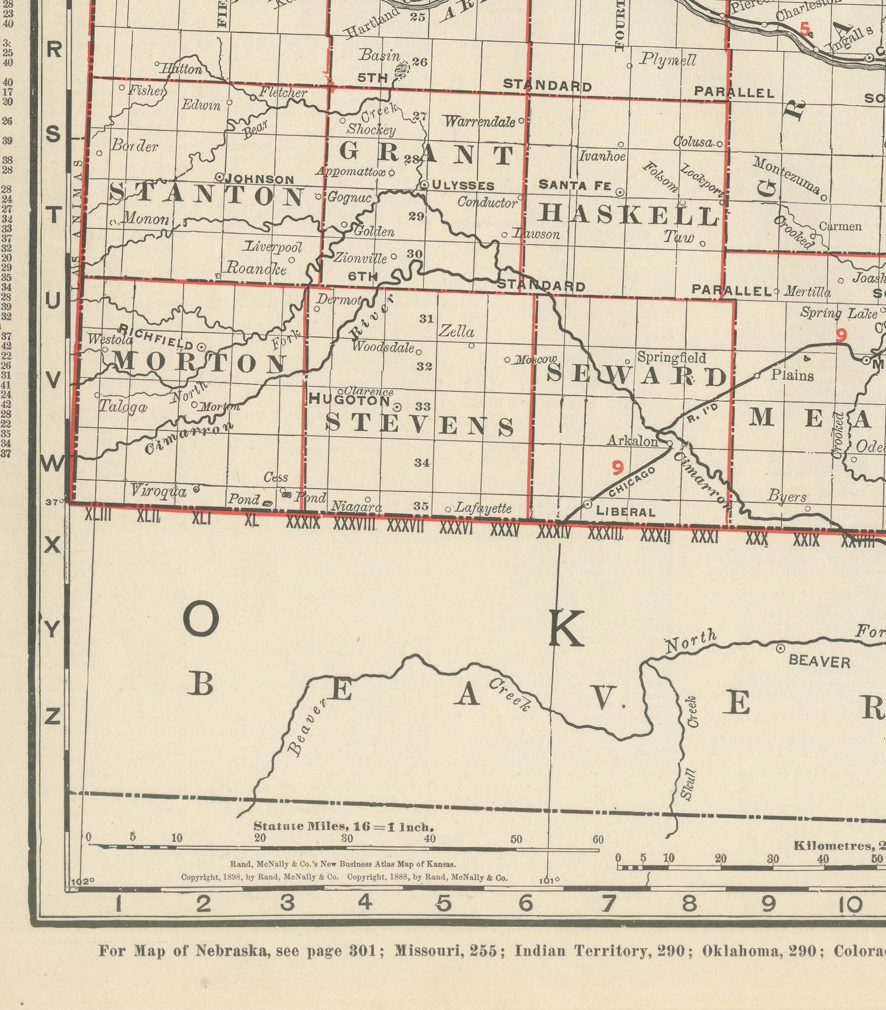
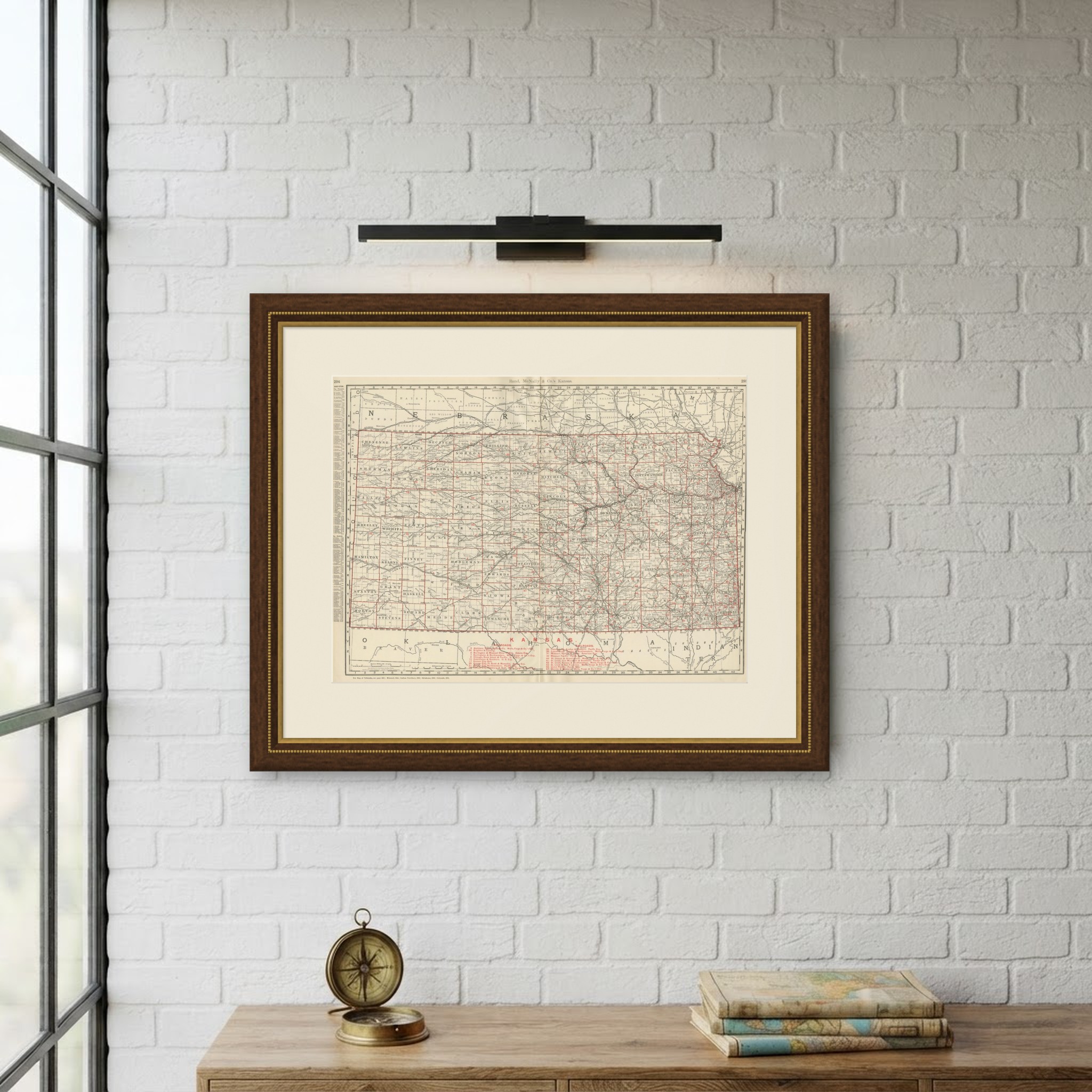
Rand McNally published this antique map of Kansas in Chicago in 1899, a double-page spread on pages 294 and 295 of its indexed atlas showing the state's complete grid of counties, from Cheyenne, Rawlins and Sherman at the Nebraska and Colorado corner in the northwest to Morton, Stevens and Seward along the Indian Territory border in the southwest, and east to the more densely settled counties of Douglas, Johnson and Shawnee along the Missouri River valley. The township-and-range survey grid is printed across the entire sheet, giving it the characteristic checkerboard look of the Plains states in this atlas, with county seats and rail towns named in fine detail even in the sparsely settled west.
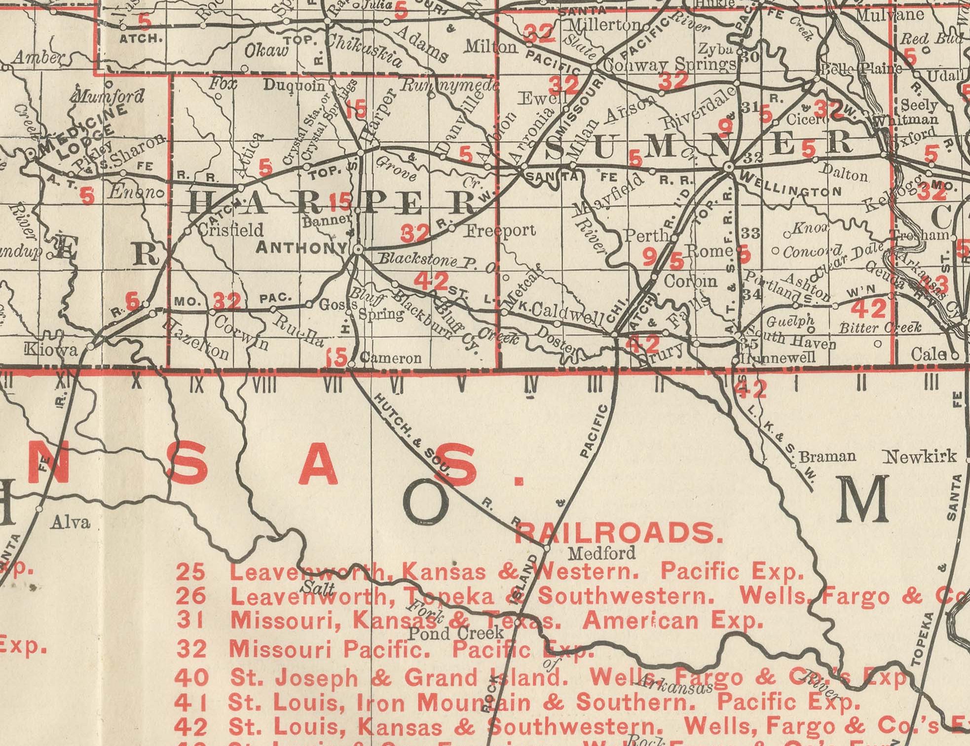
A red railroad legend at lower right lists more than twenty companies, each traced in red across the county grid and keyed to its express agency: the Atchison, Topeka and Santa Fe, whose namesake main line crosses the state diagonally from Atchison to the Colorado line, the Burlington and Missouri River, the Chicago, Rock Island and Pacific, the Missouri Pacific, the Saint Louis, Iron Mountain and Southern and the Union Pacific among them. The dense web of branch lines built during the railroad boom of the 1880s is recorded so completely that the sheet is in effect a snapshot of the state's rail geography at the very end of the century.
Scale is given as 16 statute miles to the inch. A note at the foot directs the reader to the adjoining Nebraska, Missouri, Indian Territory, Oklahoma and Colorado sheets, and the Indian Territory along the southern edge is shown as comparatively open, sparsely labelled country, in contrast to the thoroughly surveyed land of Kansas.
Rand McNally, which grew from William Rand's Chicago printing business of the 1850s after Andrew McNally joined it, was known by the 1890s for exactly this kind of railroad map. This antique map of Kansas is an original 1899 colour lithograph, the outline printed in black and the colours printed over it, issued folded through the centre, and it is suitable for framing. The colour is printed rather than applied by hand.
The sheet is in good condition for its age, with light, even age toning, clean margins and the original central fold as issued. Please review the images for further condition details.
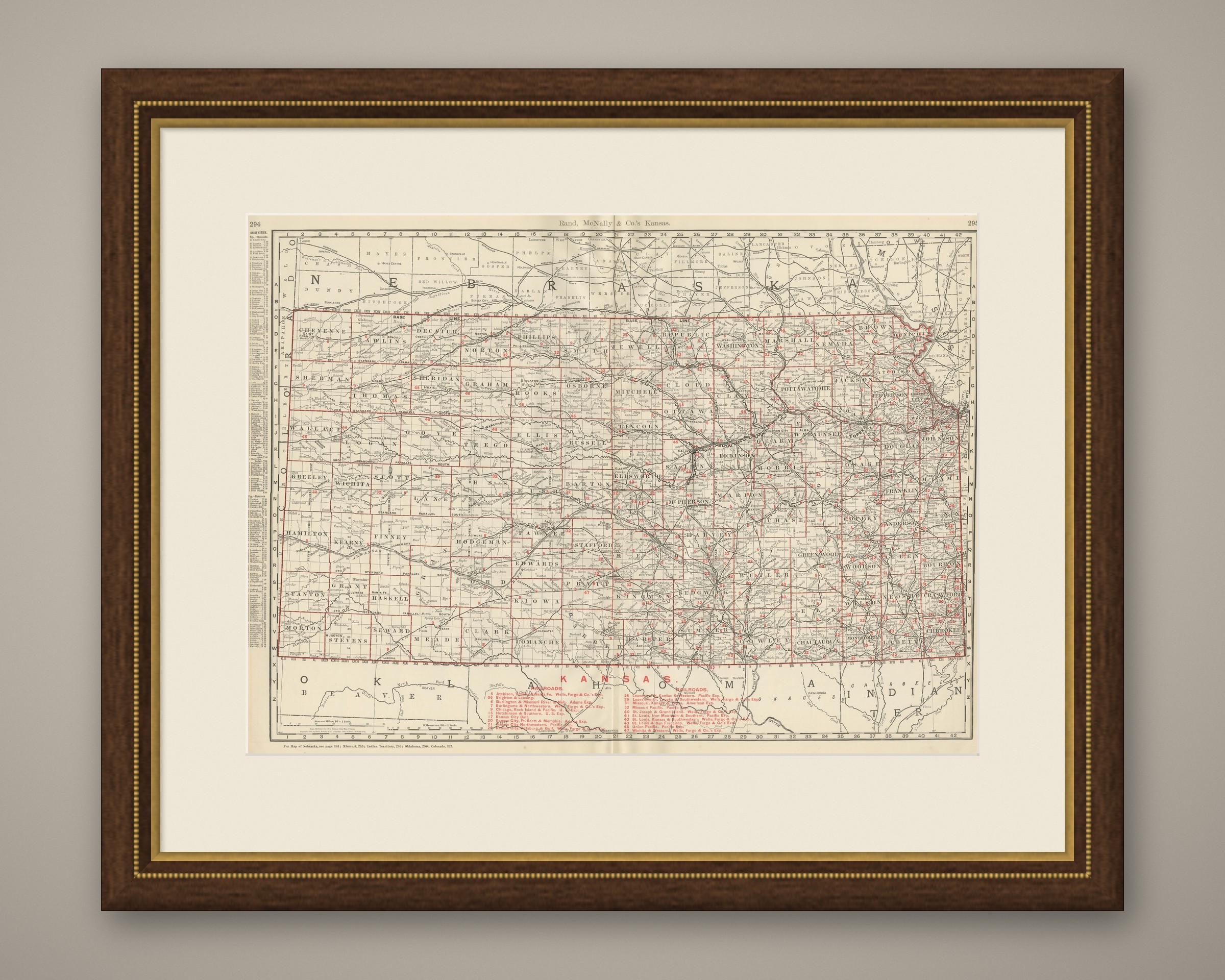
This is an original antique map, not a modern reproduction. This item is sold unframed. Any framed or interior images are shown for presentation and inspiration only, unless the listing explicitly states that the item is sold framed.