About this sheet
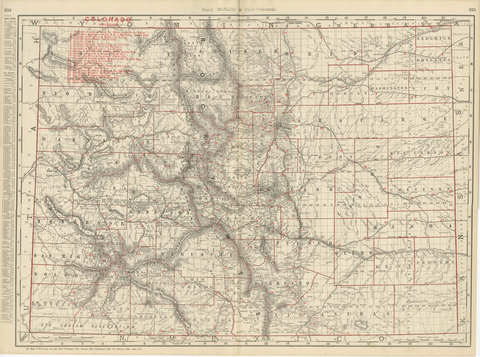
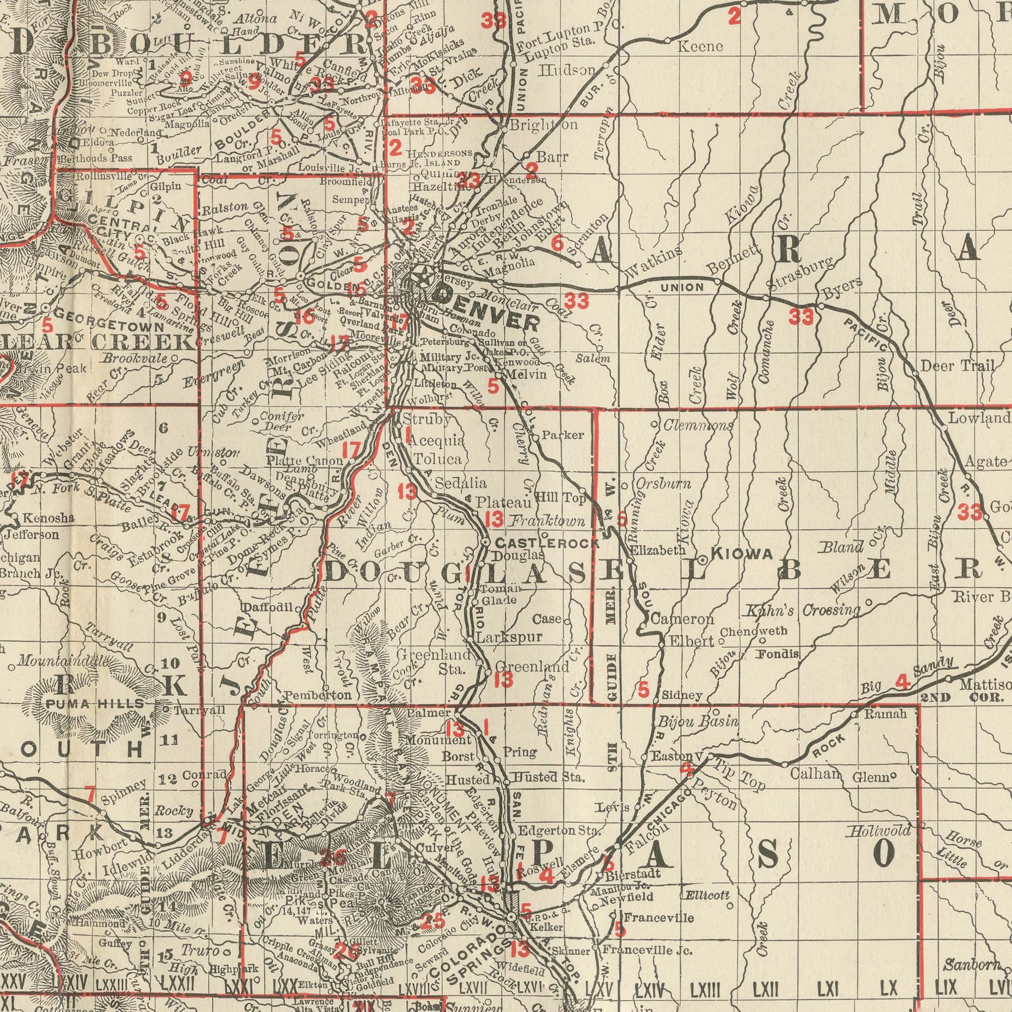
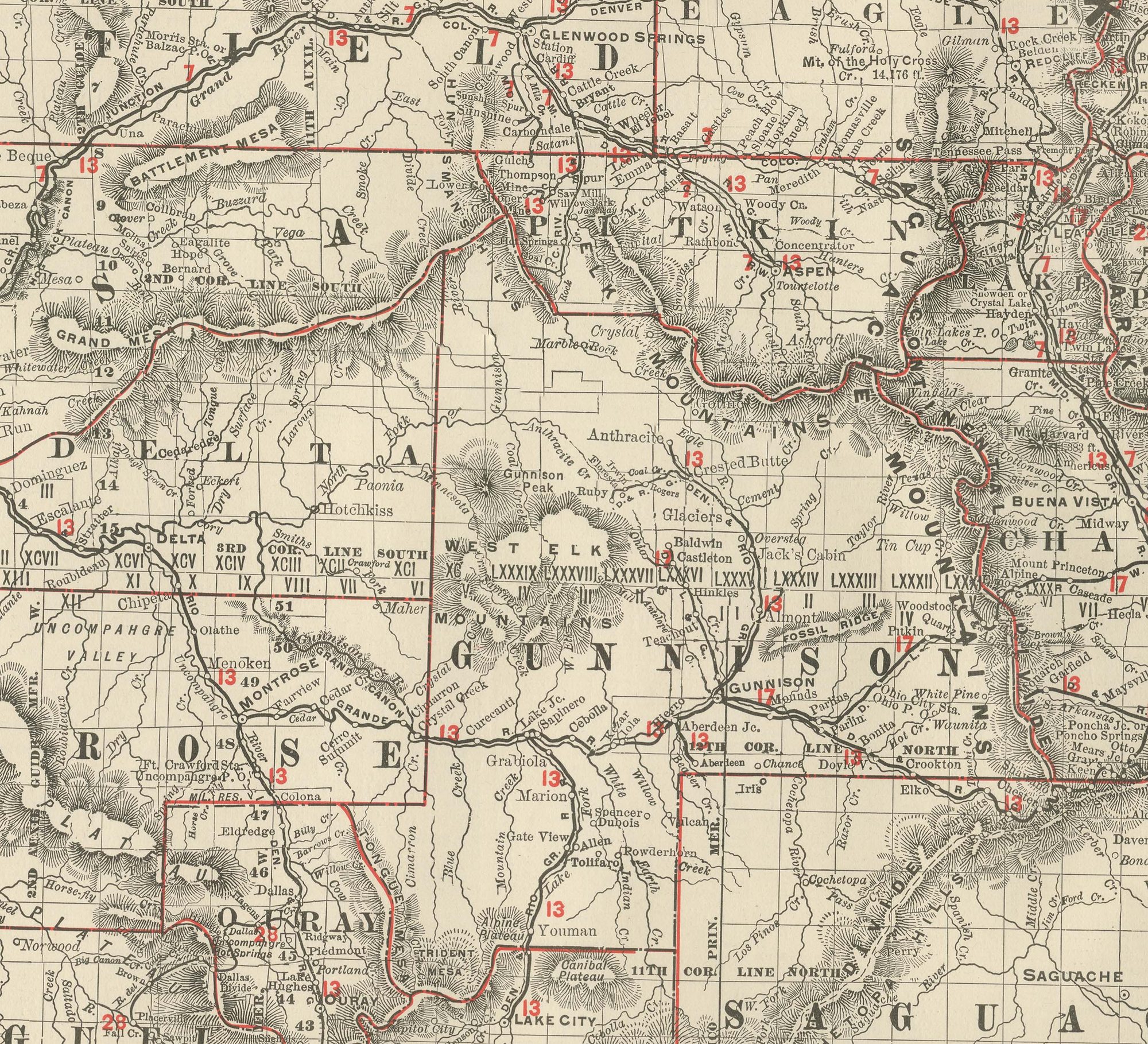
An antique map of Colorado from Rand McNally's 1899 indexed atlas, this double-page spread on pages 324 and 325 shows the state county by county, from Rio Blanco, Garfield, Eagle, Grand and Routt in the northwest to Larimer, Weld, Boulder and Denver in the north-centre, and from Montezuma, La Plata, Archuleta and Conejos in the southwest to Las Animas, Bent and Prowers on the southeastern plains. Denver, at the convergence of a dense red railroad network, sits near the centre of the sheet, and the Front Range, Sawatch Range and San Juan Mountains are rendered down the western half in continuous hachured relief.
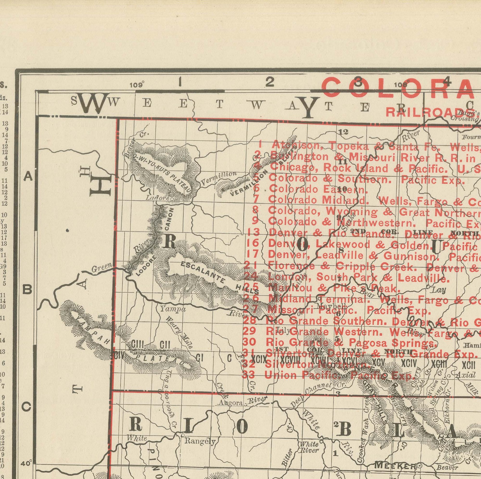
An unusually long red railroad legend at upper left numbers roughly thirty companies, among them the Atchison, Topeka and Santa Fe, the Colorado Midland, the Colorado and Southern, the Denver and Rio Grande, the Denver, Leadville and Gunnison, the Florence and Cripple Creek, the Midland Terminal, the Rio Grande Southern and the Rio Grande Western, a fair measure of how thoroughly the mining boom of the 1880s and 1890s had been threaded with narrow- and standard-gauge track by 1899. The mining districts around Leadville, Cripple Creek, Aspen and Silverton are named along their rail spurs, and the Ute Indian Reservation is marked in the extreme southwest corner.
The eastern third of the state, the short-grass plains counties of Kit Carson, Cheyenne, Yuma and Baca, shows a comparatively sparse township grid and few named settlements, in clear contrast to the densely labelled mountain and Front Range counties. Scale is given as 16 statute miles to the inch, and a note points to the adjoining Wyoming, Nebraska, Kansas, Oklahoma, New Mexico and Utah maps.
Rand McNally, by the 1890s one of the leading map publishers in the United States, was known for railroad maps revised from issue to issue. This antique map of Colorado is an original 1899 sheet: a colour lithograph with the outline printed in black and the colours printed over it, issued folded through the centre and suitable for framing. The colour is printed rather than applied by hand.
The sheet is in good condition for its age, with light age toning, a faint pencil annotation near the lower right scale and the original central fold as issued. Please review the images for further condition details.
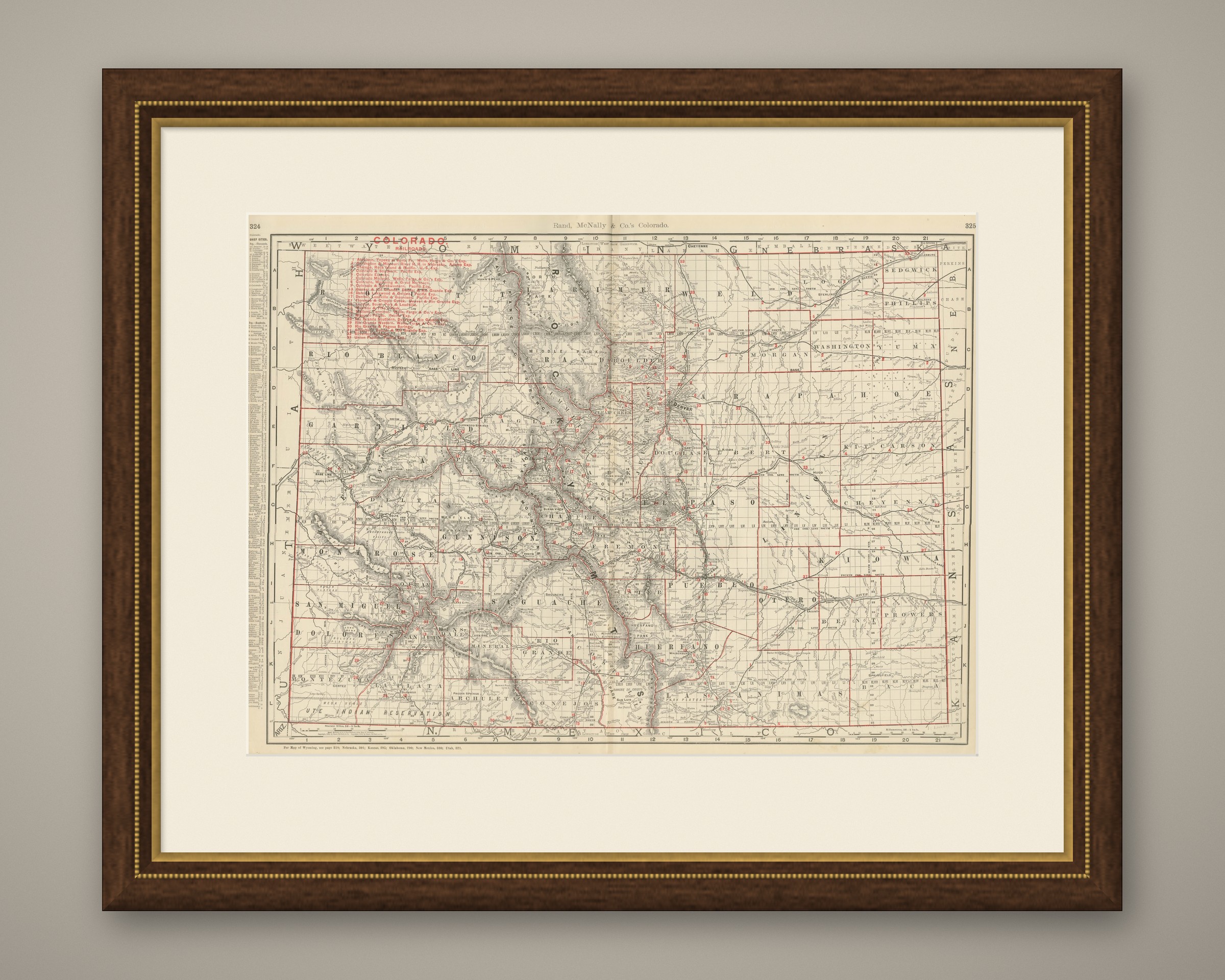
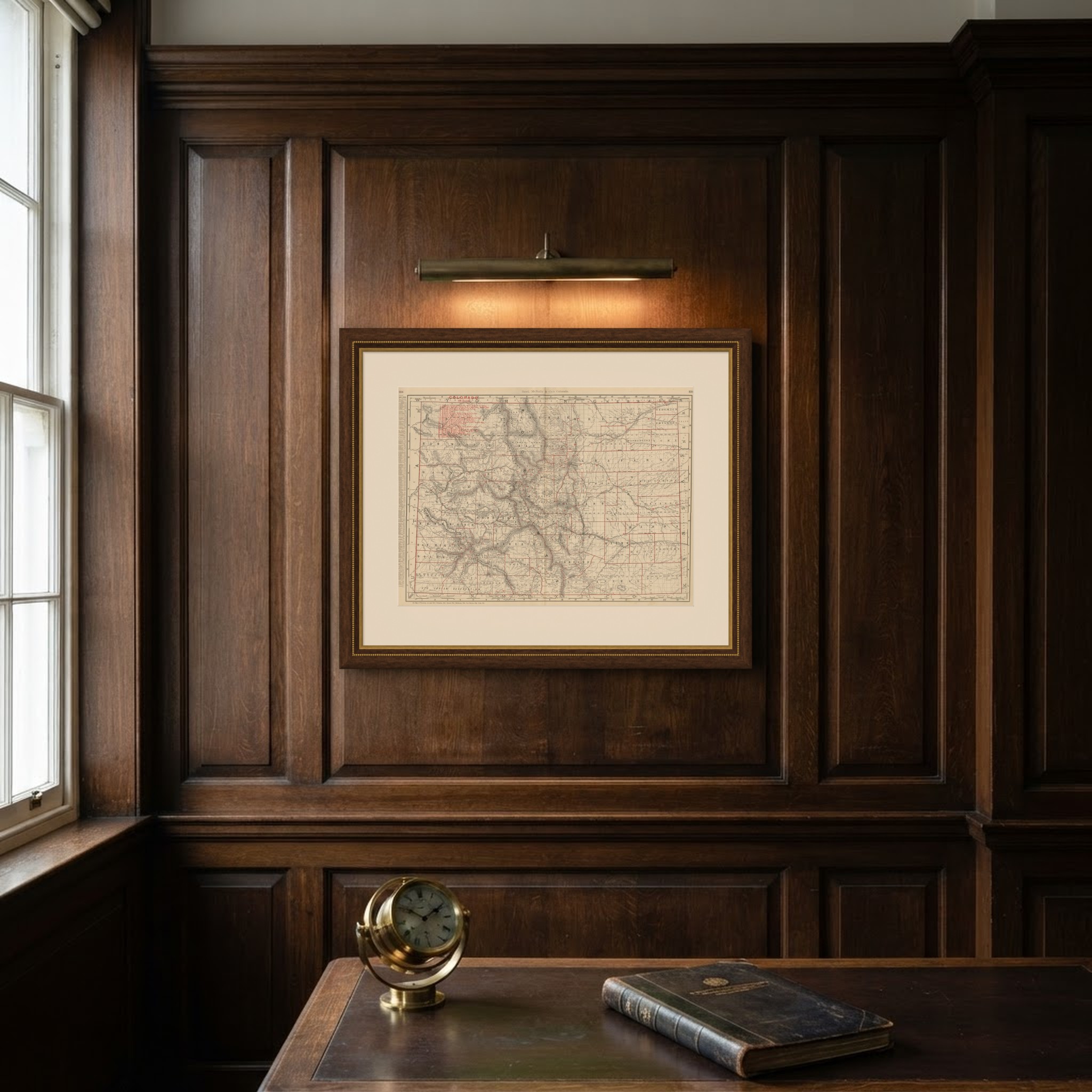
This is an original antique map, not a modern reproduction. This item is sold unframed. Any framed or interior images are shown for presentation and inspiration only, unless the listing explicitly states that the item is sold framed.