About this sheet
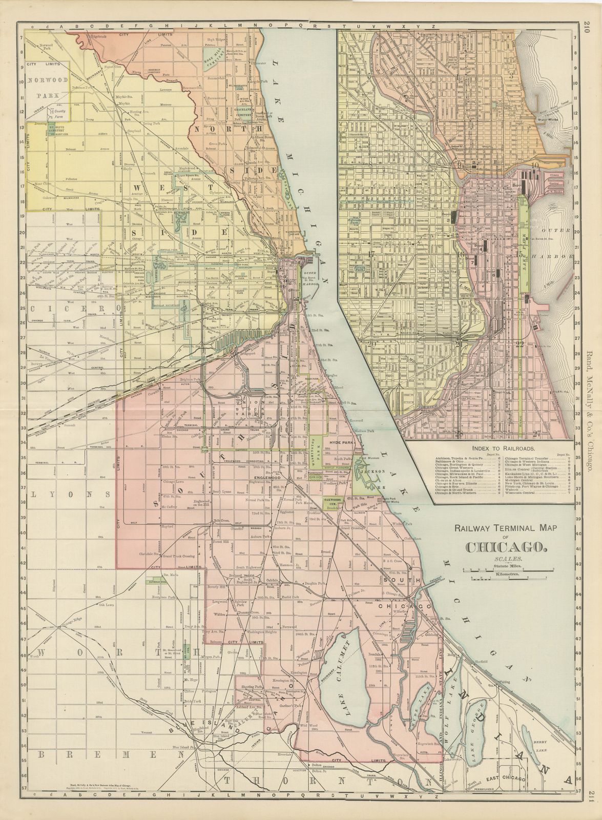
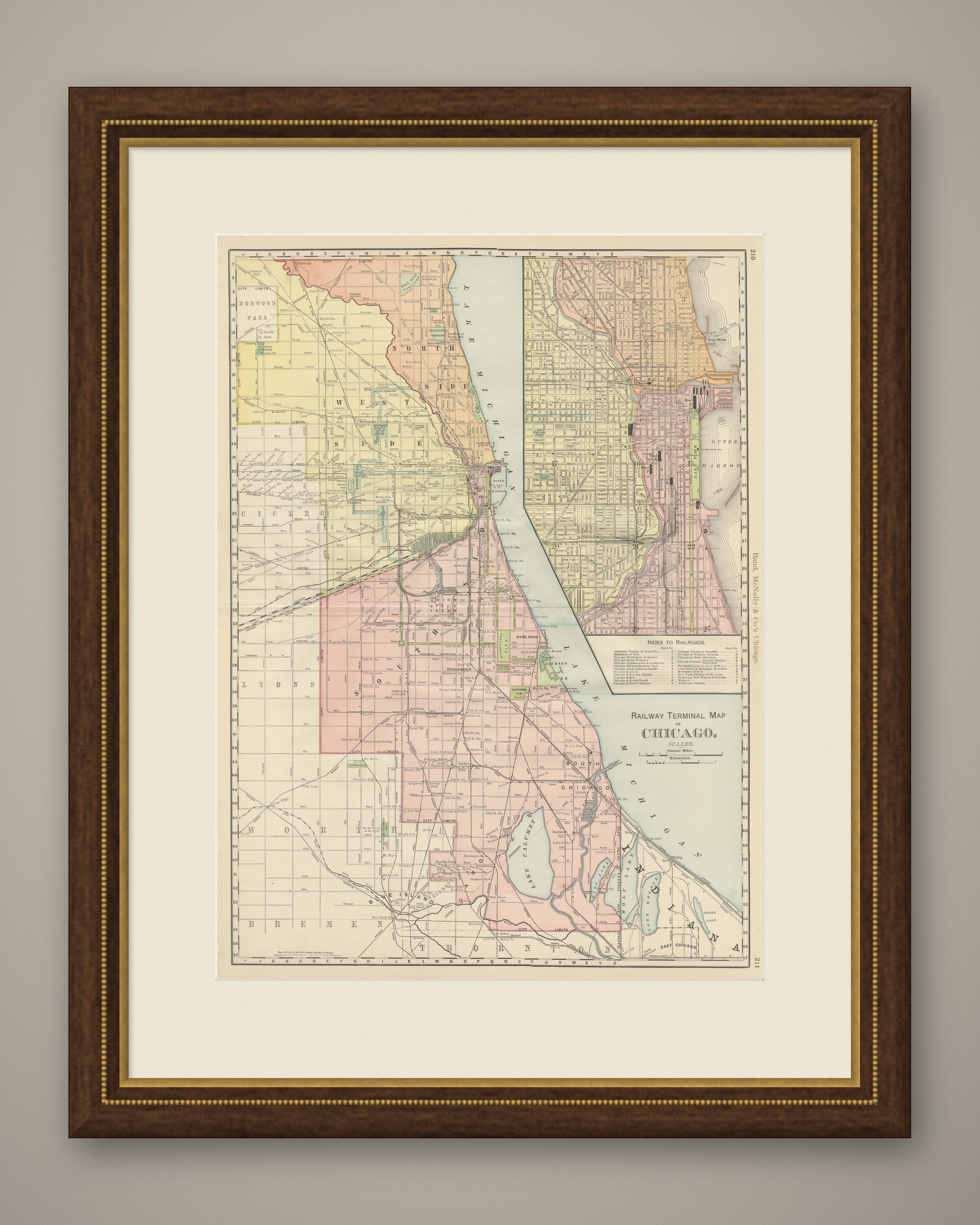
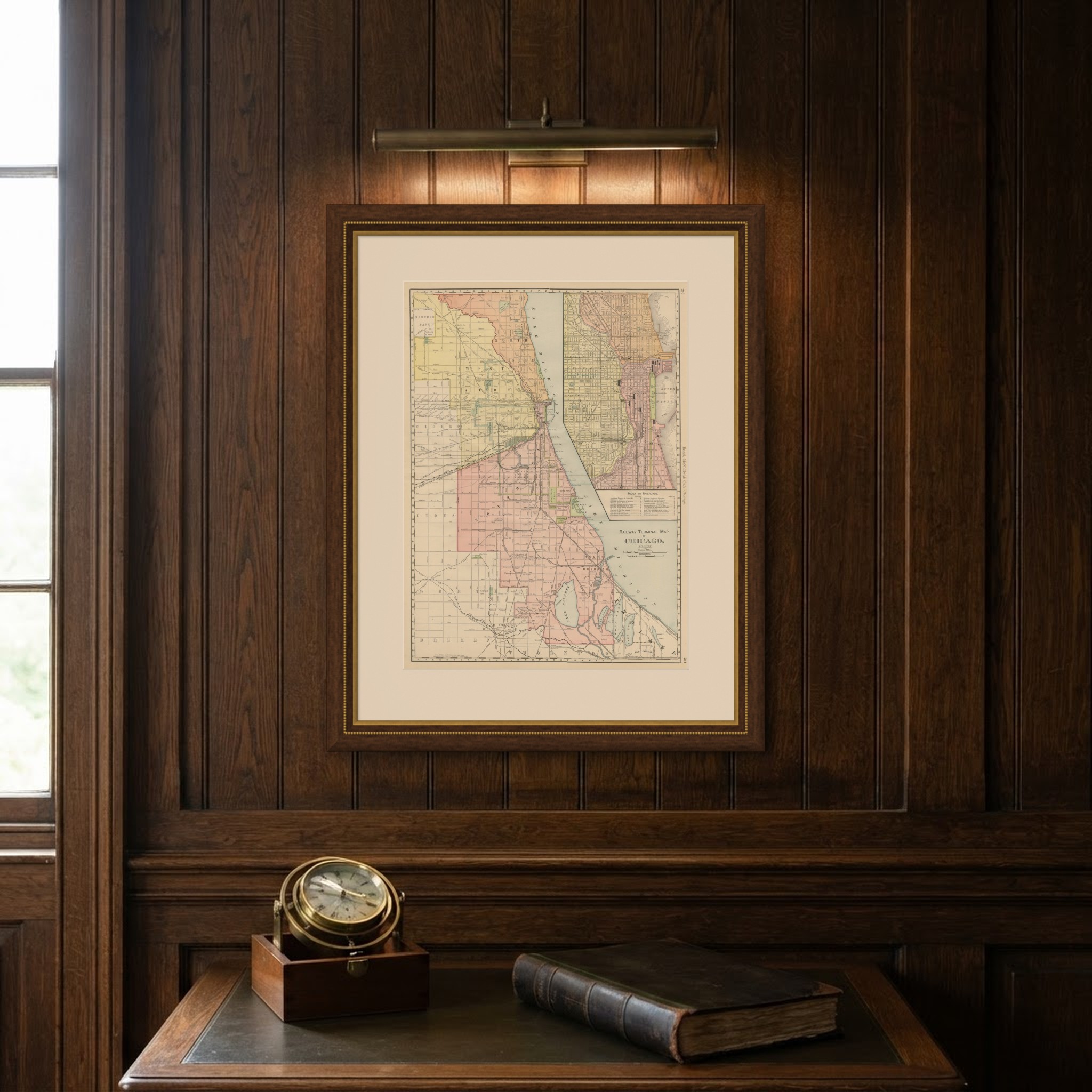
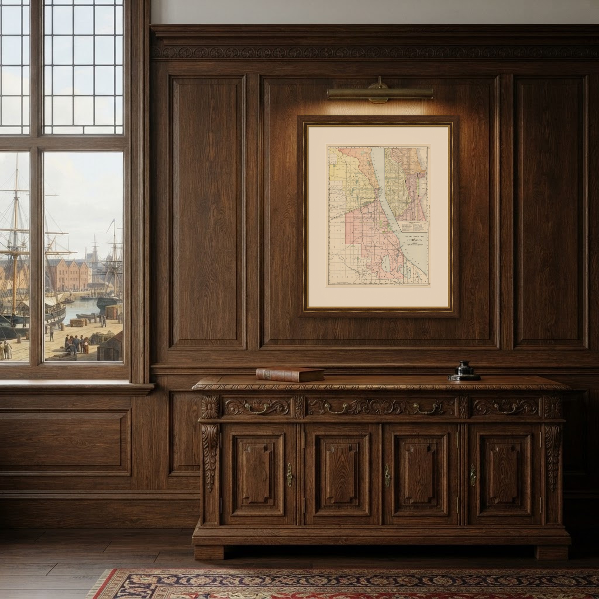
A companion to the street guide, this antique map of Chicago is the "Railway Terminal Map of Chicago" from the Rand McNally indexed atlas of 1899, a double-page sheet on pages 210 and 211 organised to show how the city's many lines converged on its downtown terminals.
The South Side, from Hyde Park and Englewood down through Pullman to the Indiana state line, is mapped in the greatest detail, with individual rail yards, the Union Stock Yards and the numerous belt and terminal lines, the Chicago Terminal Transfer, the Belt Railway and the Kankakee Belt among them, all traced and colour-coded by company. Lake Calumet and the industrial Calumet district, already home to steelworks and rail yards, occupy the lower right portion of the main map.
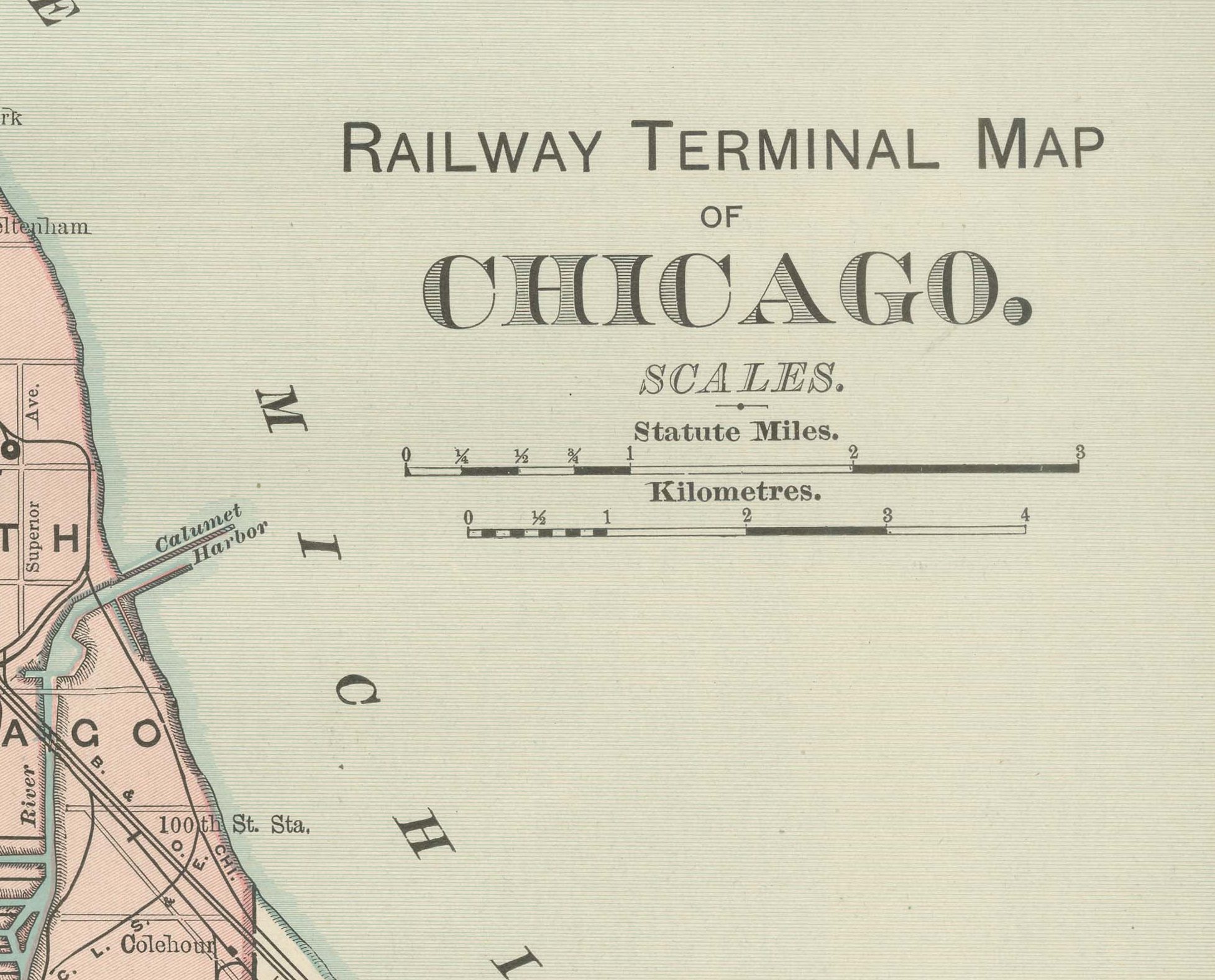
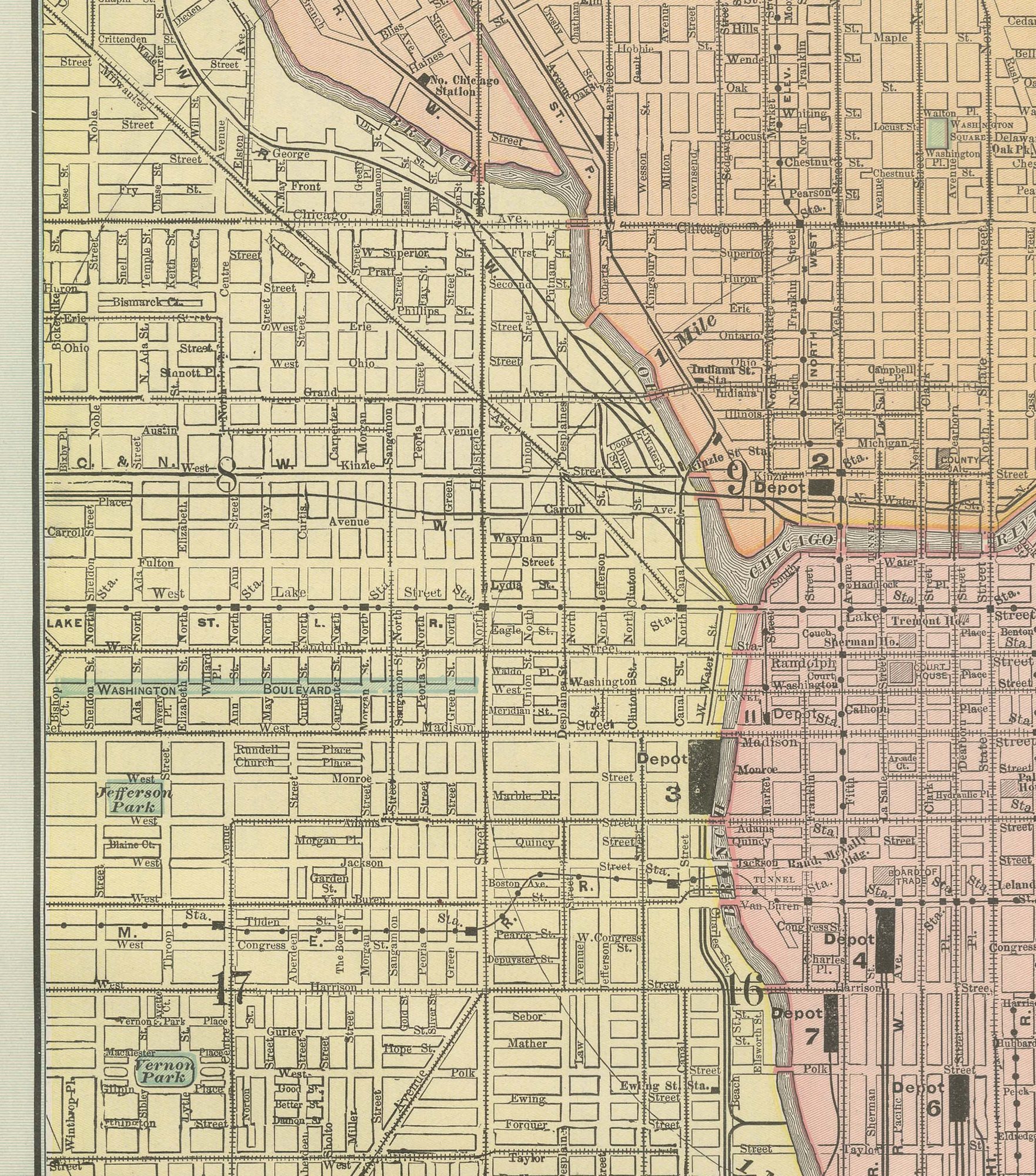
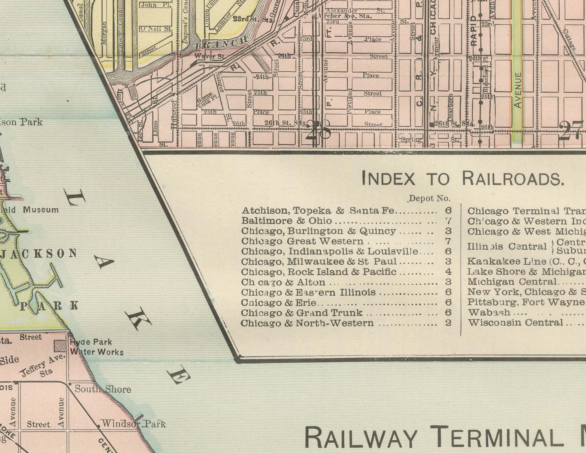
An inset at upper right enlarges the Loop and the near North and South Sides, with an accompanying "Index to Railroads" keying each depot number to its operating company, the Atchison, Topeka and Santa Fe, the Baltimore and Ohio, the Chicago and Western Indiana and a dozen others, so a traveller could see at a glance which downtown terminal served which line. Scale is given in statute miles and kilometres at lower right. The sheet's purpose was practical: helping a traveller or shipper find the way through Chicago's uniquely complex terminal geography, the railroad subject for which its publisher was best known.
The publisher, Rand, McNally and Company of Chicago, began as a printing business founded by William Rand in the 1850s and joined by Andrew McNally. By the time of the 1899 indexed atlas it ranked among the leading American map publishers, known above all for railroad and commercial maps that were revised from one issue to the next.
The sheet is a colour lithograph, the outline printed in black and every colour printed over it rather than applied by hand. Once framed, this antique map of Chicago would suit a home or office in the city today, and it will appeal to collectors of American city plans and local history.
The sheet is in good condition for its age, with light, even age toning, minor wear to the right edge and the original central fold as issued. Please review the images for further condition details.
This is an original antique map, not a modern reproduction. This item is sold unframed. Any framed or interior images are shown for presentation and inspiration only, unless the listing explicitly states that the item is sold framed.