About this sheet
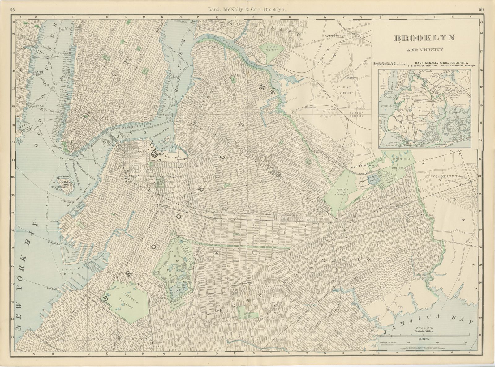
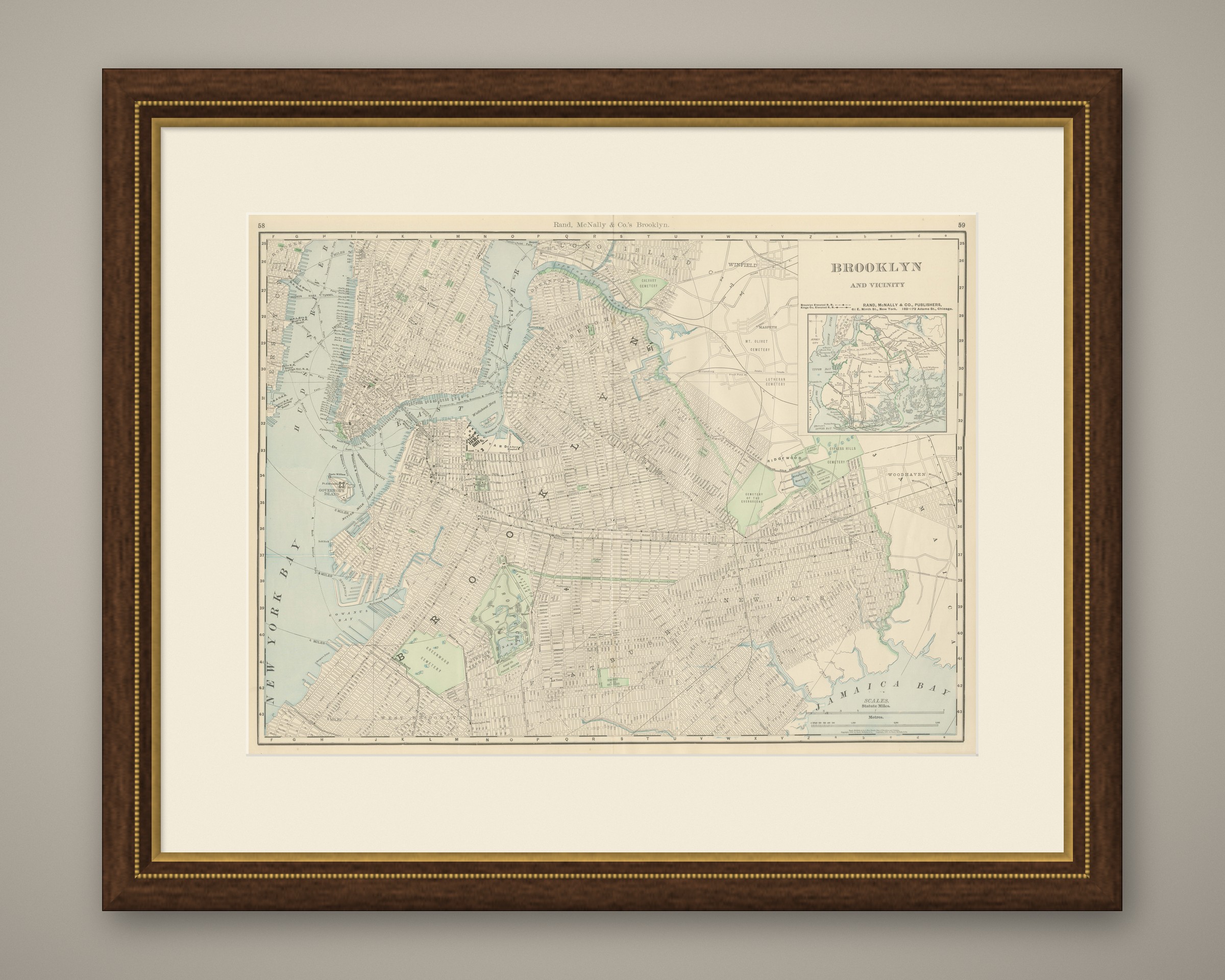
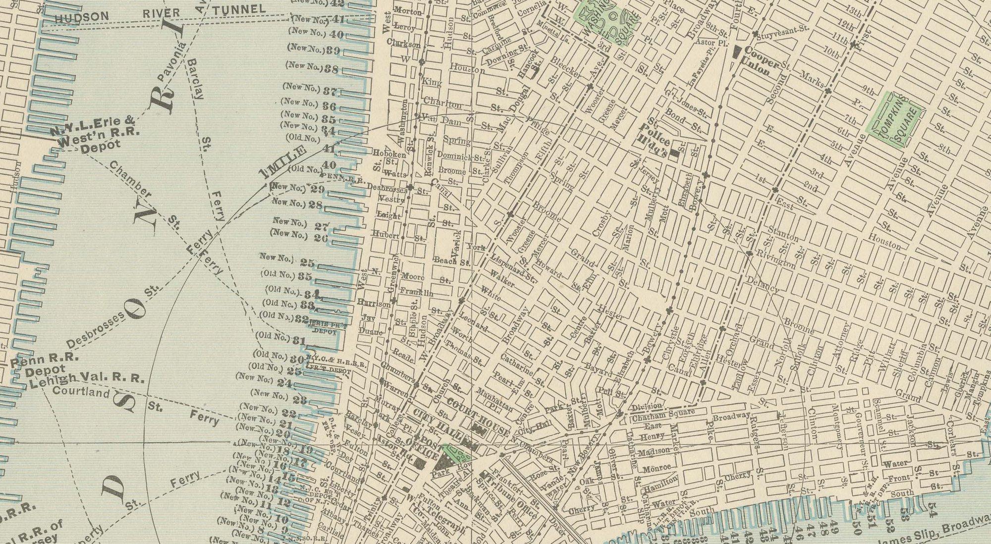
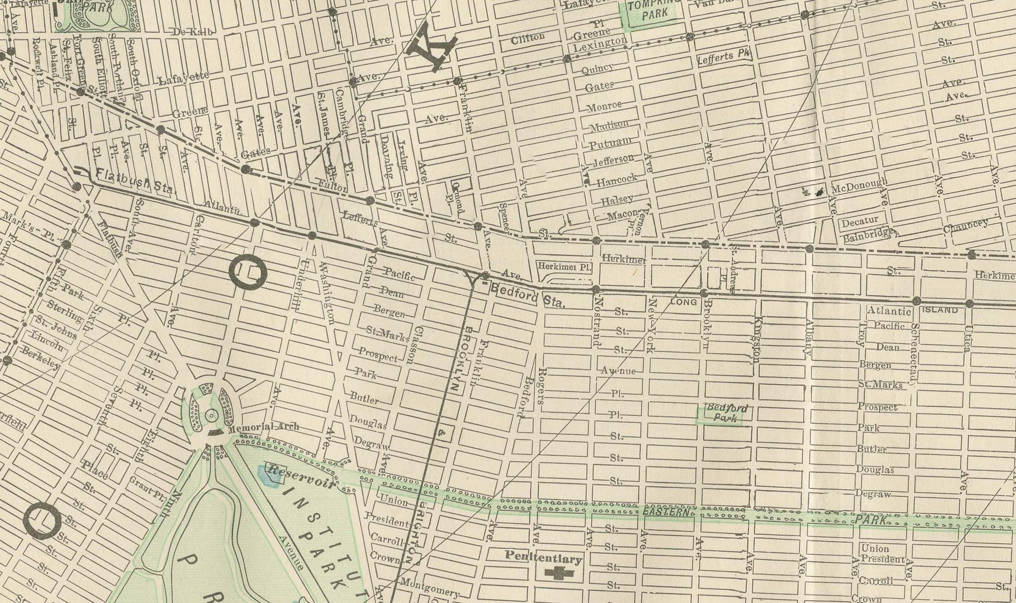
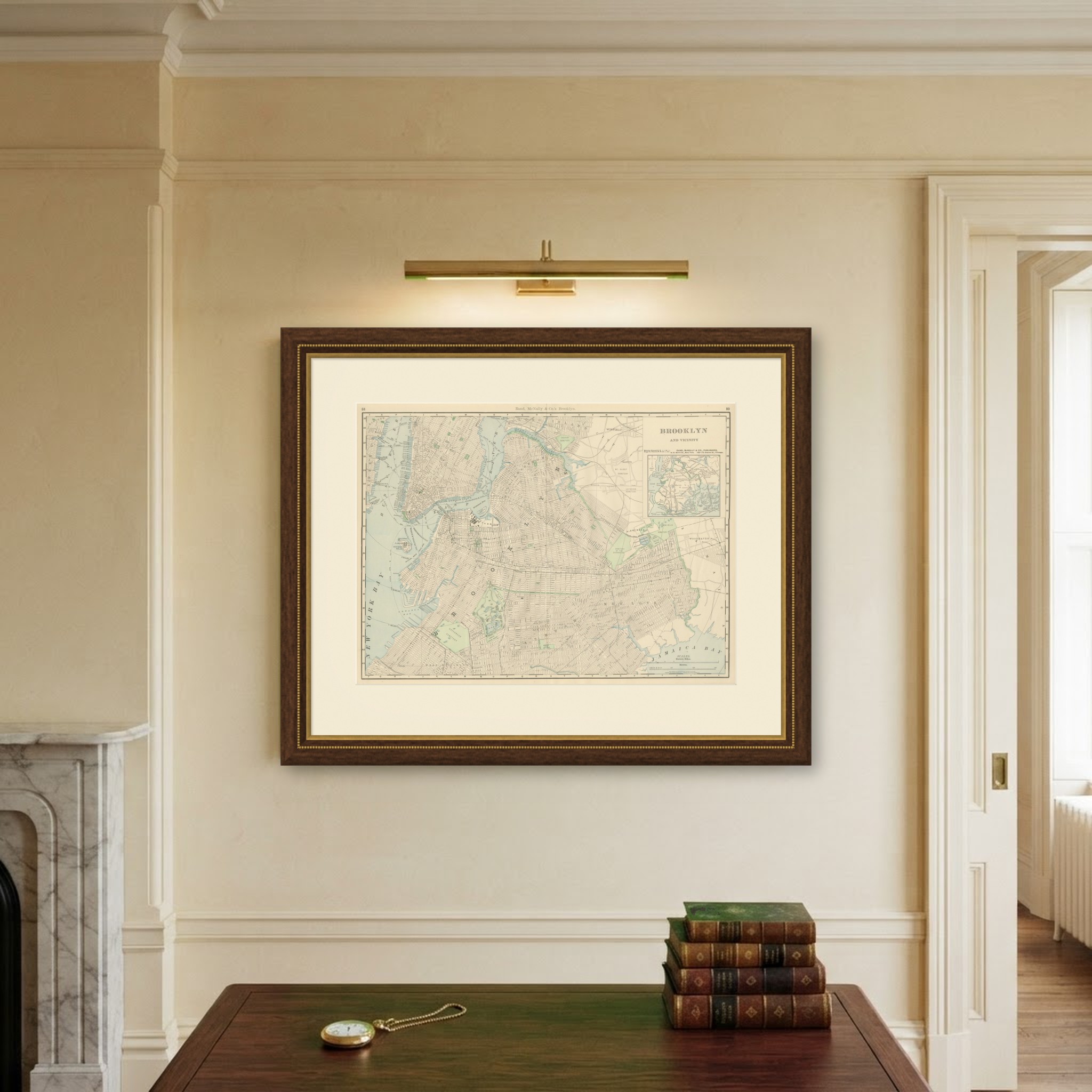
Rand McNally issued this antique map of Brooklyn in its 1899 indexed atlas as a double-page street plan on pages 58 and 59, the borough's grid running from the waterfront opposite lower Manhattan out to Jamaica Bay.
Governor's Island is shown in New York Bay, and the plan extends through Williamsburgh and Greenpoint in the north to Flatbush, New Lots and the marshy edge of Jamaica Bay in the south and east. The Brooklyn Navy Yard occupies its own marked reservation on Wallabout Bay, and Prospect Park with its lake forms the principal green space towards the centre of the sheet.
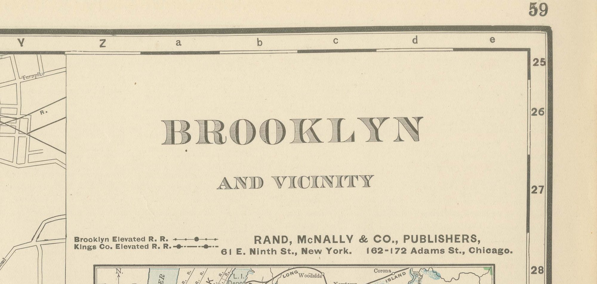
A striking concentration of cemeteries fills the eastern and southern portions of the map, Greenwood, Calvary, Mount Olivet, Cypress Hills, the Cemetery of the Evergreens and Lutheran Cemetery among them, a reminder of how much of Brooklyn's outer wards had become burial ground for greater New York. An inset in the upper right, "Brooklyn and Vicinity", pulls back to show the whole of the Upper Bay with Staten Island, Jersey City and the Long Island shore towards Jamaica. Built-up wards are printed in pink and parks and cemeteries in green; the sheet is captioned as published from offices in both New York and Chicago, with scale bars in statute miles and metres at the lower right.
Rand, McNally and Company, the Chicago firm that issued the 1899 indexed atlas, grew from the printing business William Rand started in the 1850s, later joined by Andrew McNally. By the 1890s it was among the leading map publishers in the United States, known for railroad and commercial maps revised with each new issue.
The sheet is a colour lithograph, the outline printed in black and every colour printed over it rather than applied by hand. Once framed, this antique map of Brooklyn would suit a home or office in the city today, and it will appeal to collectors of American city plans and local history.
The sheet is in good condition for its age, with light, even age toning, minor handling wear to the sheet edges and the original central fold as issued. Please review the images for further condition details.
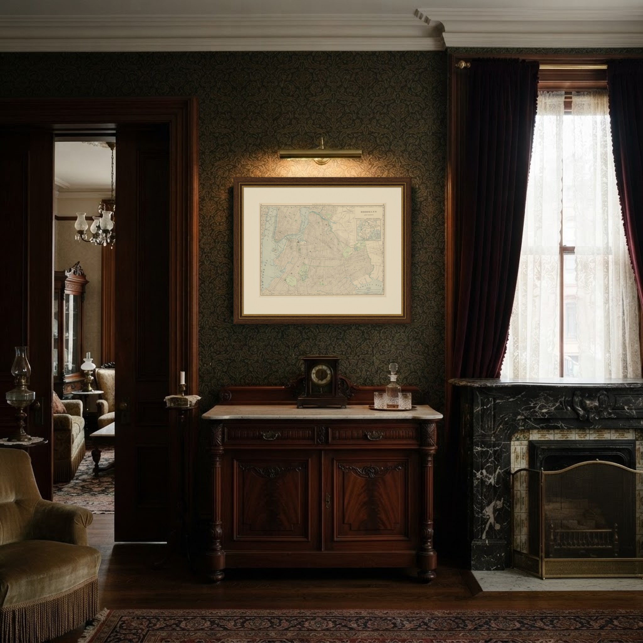
This is an original antique map, not a modern reproduction. This item is sold unframed. Any framed or interior images are shown for presentation and inspiration only, unless the listing explicitly states that the item is sold framed.