About this sheet
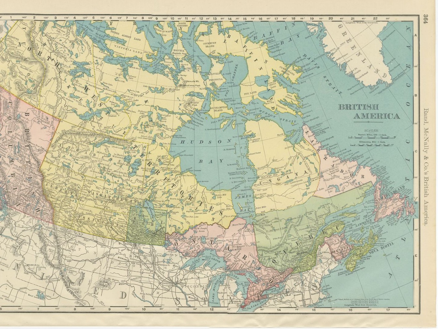
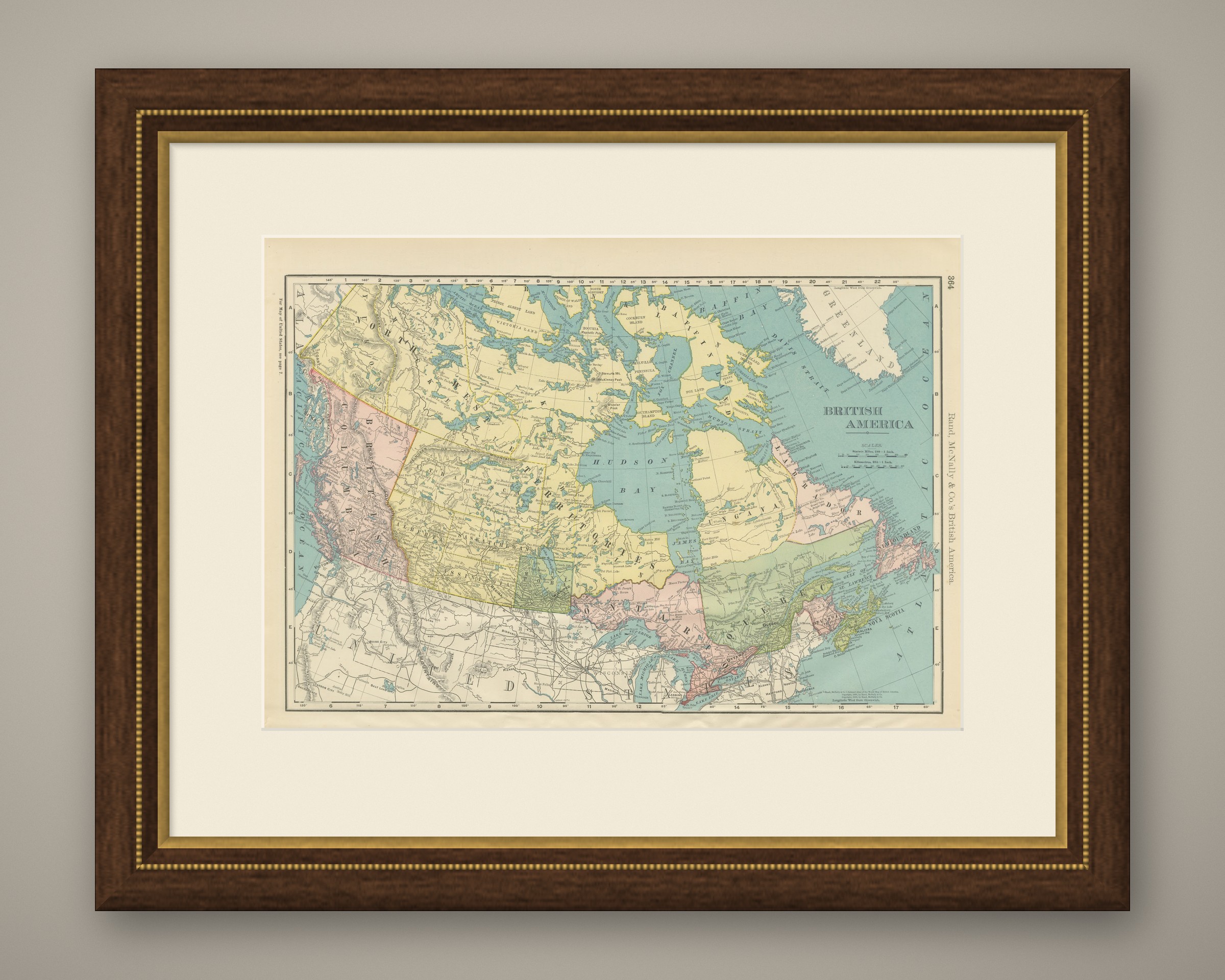
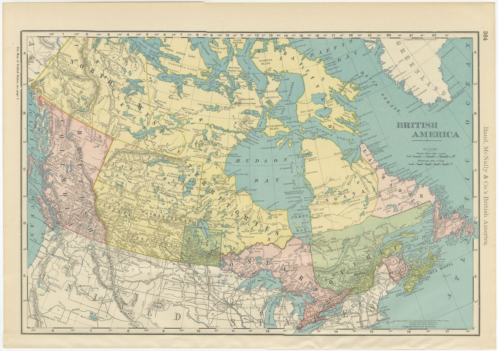
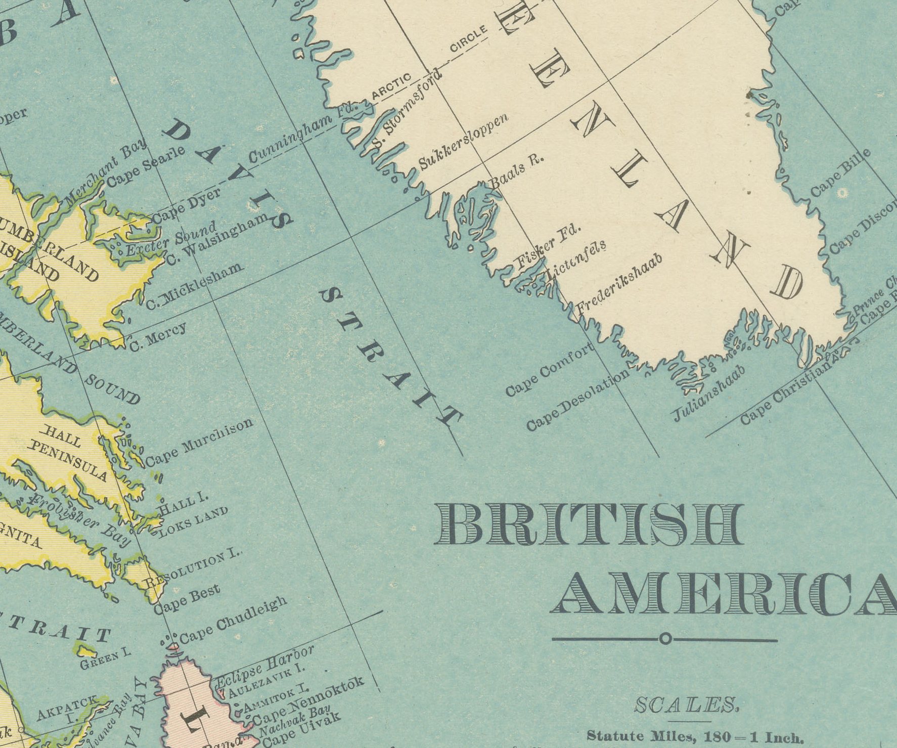
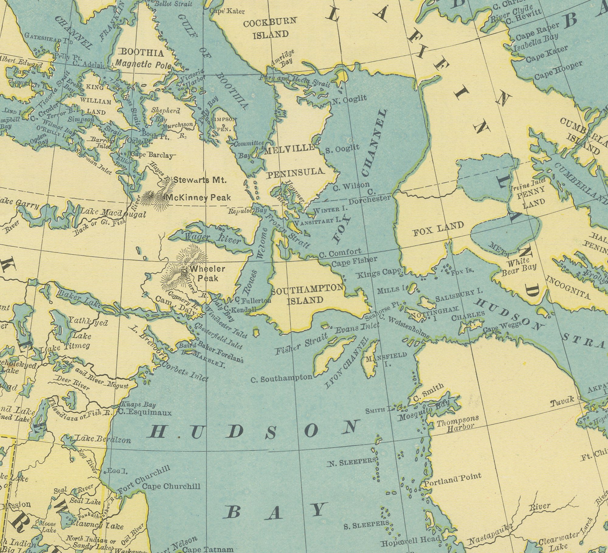
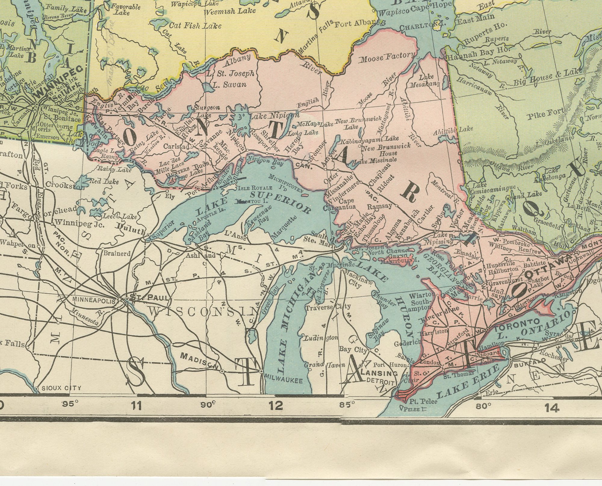
This antique map of British America, printed by Rand McNally in 1899 on page 364 of its indexed atlas, is the firm's single-sheet overview of the whole of Canada, extending from Alaska and the Klondike goldfields at the far left to Newfoundland and the Atlantic at the far right, and north to Baffin Land and the edge of Greenland. The provinces and territories are distinguished in the atlas's pastel washes: the North West Territories in pale yellow, British Columbia and Ontario in pink, Quebec in olive green and Labrador in the same pink as British Columbia, with Hudson Bay and the Arctic waterways in pale blue. The Manitoba electoral divisions of Selkirk, Marquette, Lisgar and Provencher and the young provisional districts of Athabasca, Saskatchewan, Assiniboia and Alberta are named across the western interior.
The reverse of this sheet, photographed separately, carries the Rand McNally map of Puerto Rico and the Philippine Islands, page 363 of the same atlas. Puerto Rico is shown in full colour county by county (Aguadilla, Arecibo, Bayamo, Mayaguez, Ponce, Guayama, Humacao), with San Juan and its harbour enlarged in a separate inset and Isla de Vieques and Culebra mapped to the same scale in a box at right. Below it, the Philippine archipelago runs from Luzon and Manila, with its own harbour inset, south through the Visayas to Mindanao, with North Borneo and the Sulu Sea at the southern edge.
Placing these two maps back to back was no accident: the Philippines and Puerto Rico had passed to the United States under the Treaty of Paris only months before the atlas went to press in 1899, and the firm, like its competitors, rushed coverage of the new island possessions into its plates. The Canada side is dated 1899 in its imprint, and both faces carry the standard statute-mile and kilometre scale bars.
Rand McNally, which grew from a Chicago printing business begun by William Rand in the 1850s and joined by Andrew McNally, was by the 1890s one of the leading map publishers in the United States. This antique map of British America and its reverse are both colour lithographs, the outline printed in black with the colours printed over it, on an original atlas sheet, and the sheet is suitable for framing. The colour is printed rather than applied by hand.
The sheet is in good condition for its age, with light age toning, deeper toward the sheet edges, small nicks to the lower left edge and minor handling wear. Please review the images for further condition details.
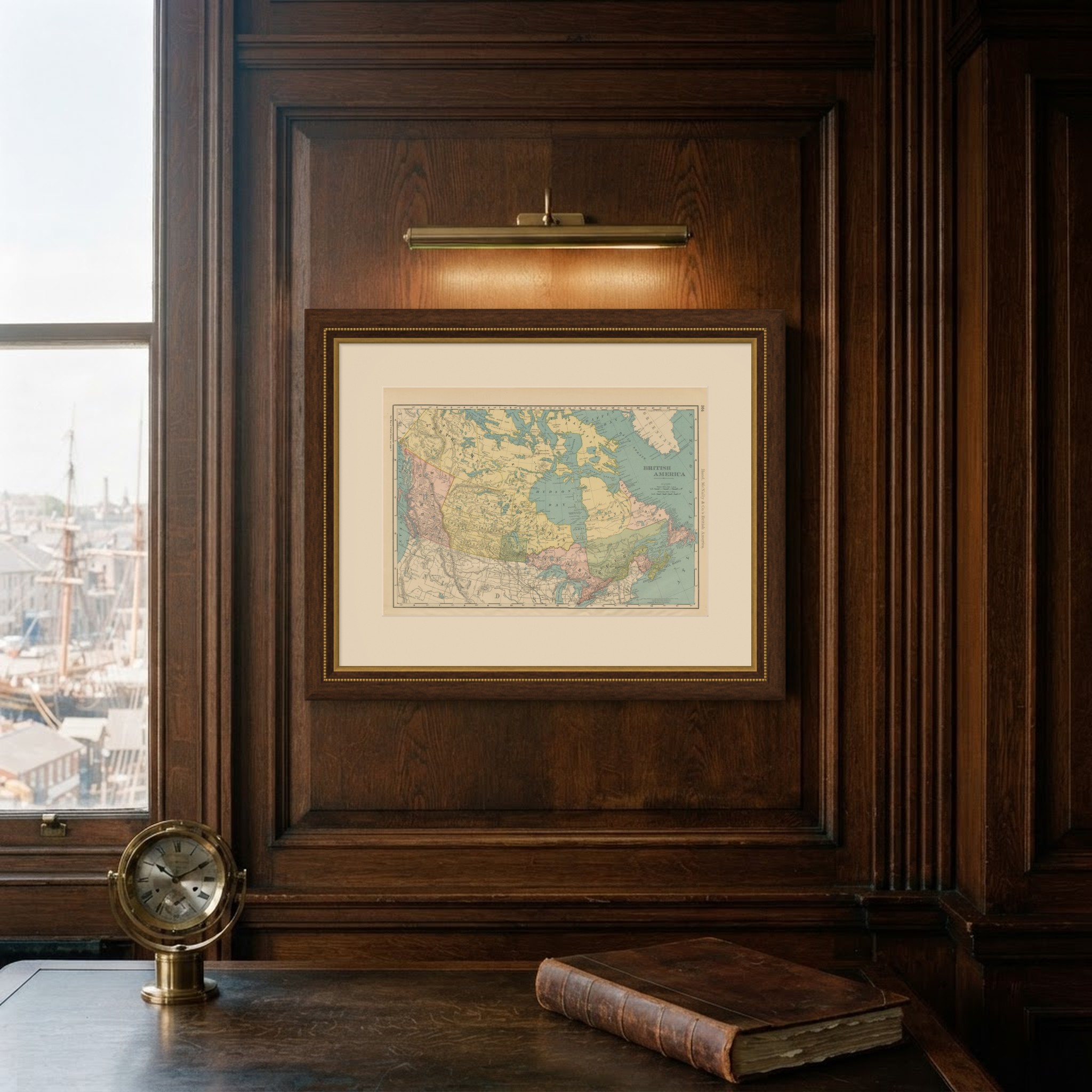
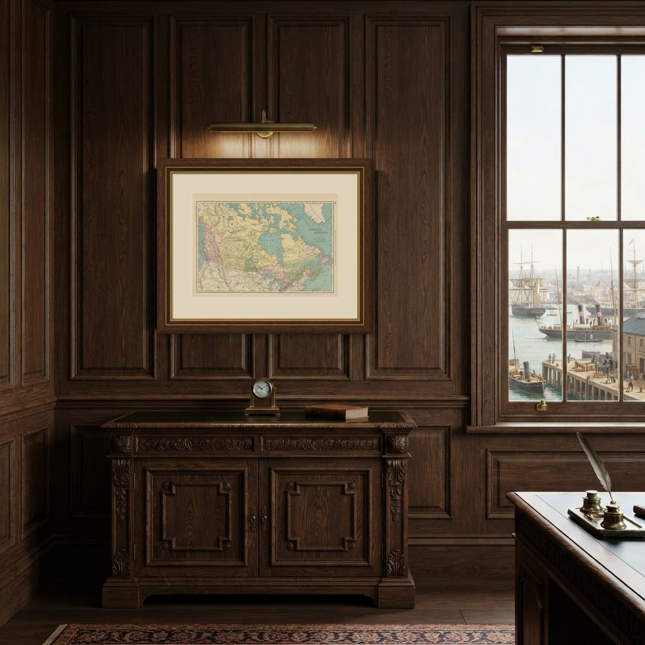
This is an original antique map, not a modern reproduction. This item is sold unframed. Any framed or interior images are shown for presentation and inspiration only, unless the listing explicitly states that the item is sold framed.