About this sheet
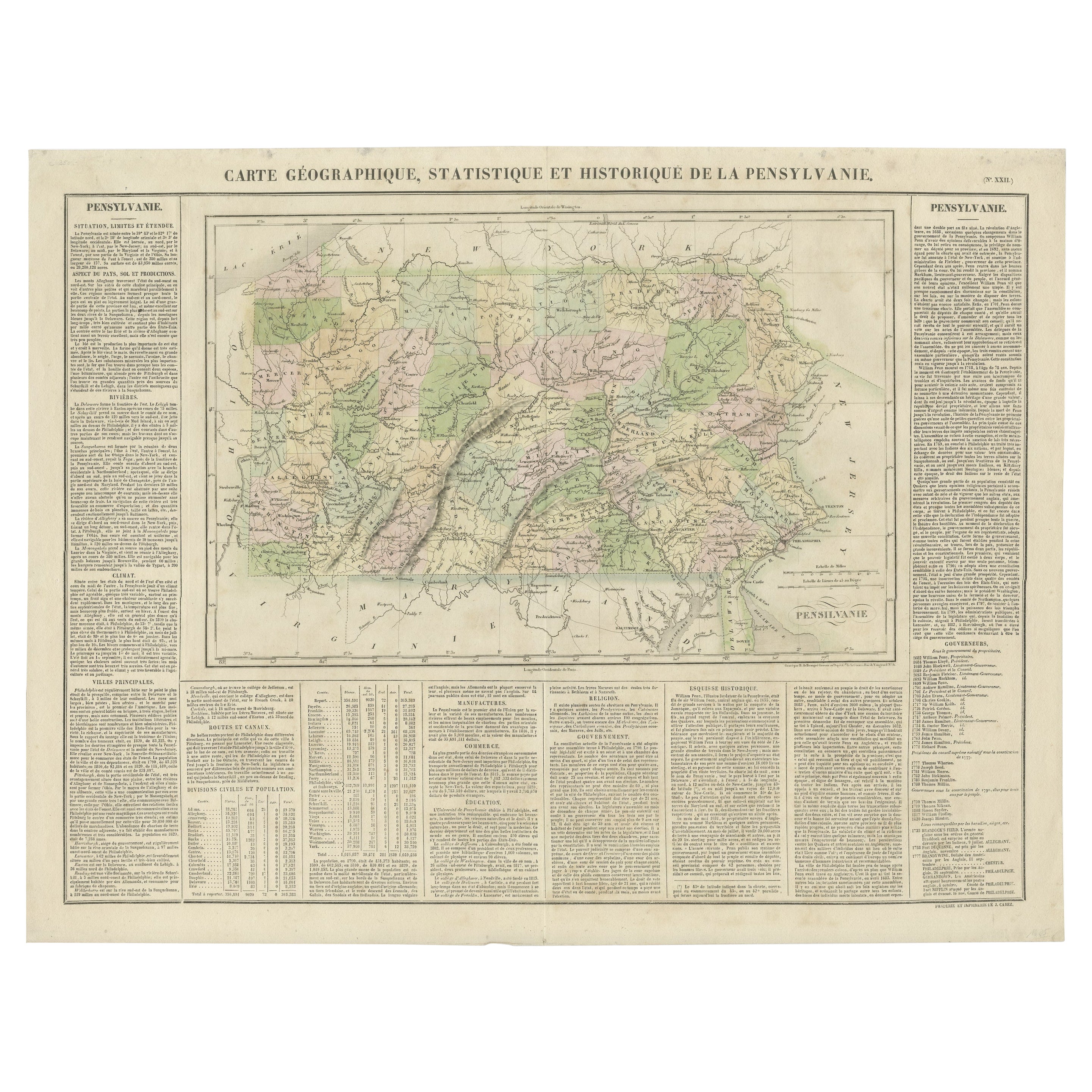
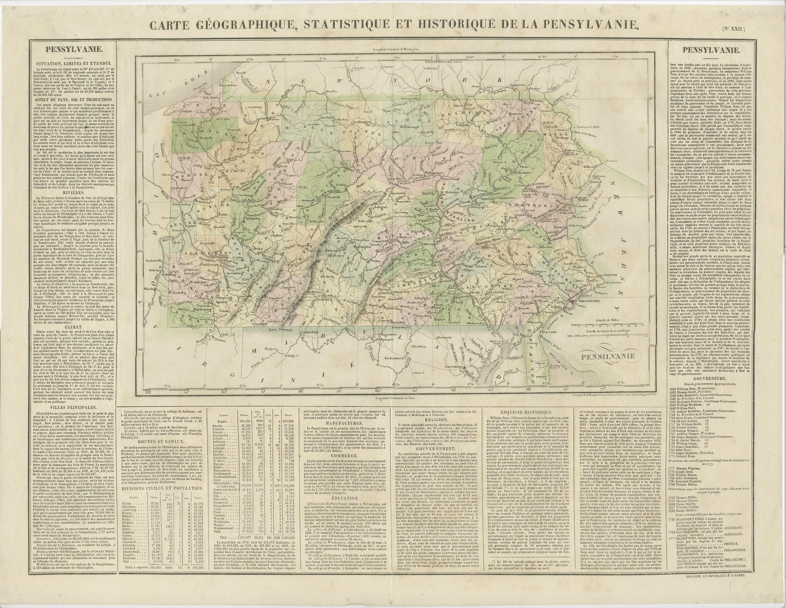
Attractive map of Pennsylvania with bordercoloring of the county and showing the various towns, roads, rivers, bridges, and a host of other details.
The map is surrounded by French text describing the statistics of the state, its population, governors, religion, education, commerce, climate topography and more. This map comes from the French edition of Carey & Lea's American Atlas. The French edition is a superior work, using better paper and a superior engraving technique.
Condition: Good to very good. Strong and clean paper. Original colouring. In the top margins a few faint stains due to handling. Study image carefully.