Maps & PrintsBartele Gallery · Langweer
Home / Antique Maps / Europe

Europe · 19th century

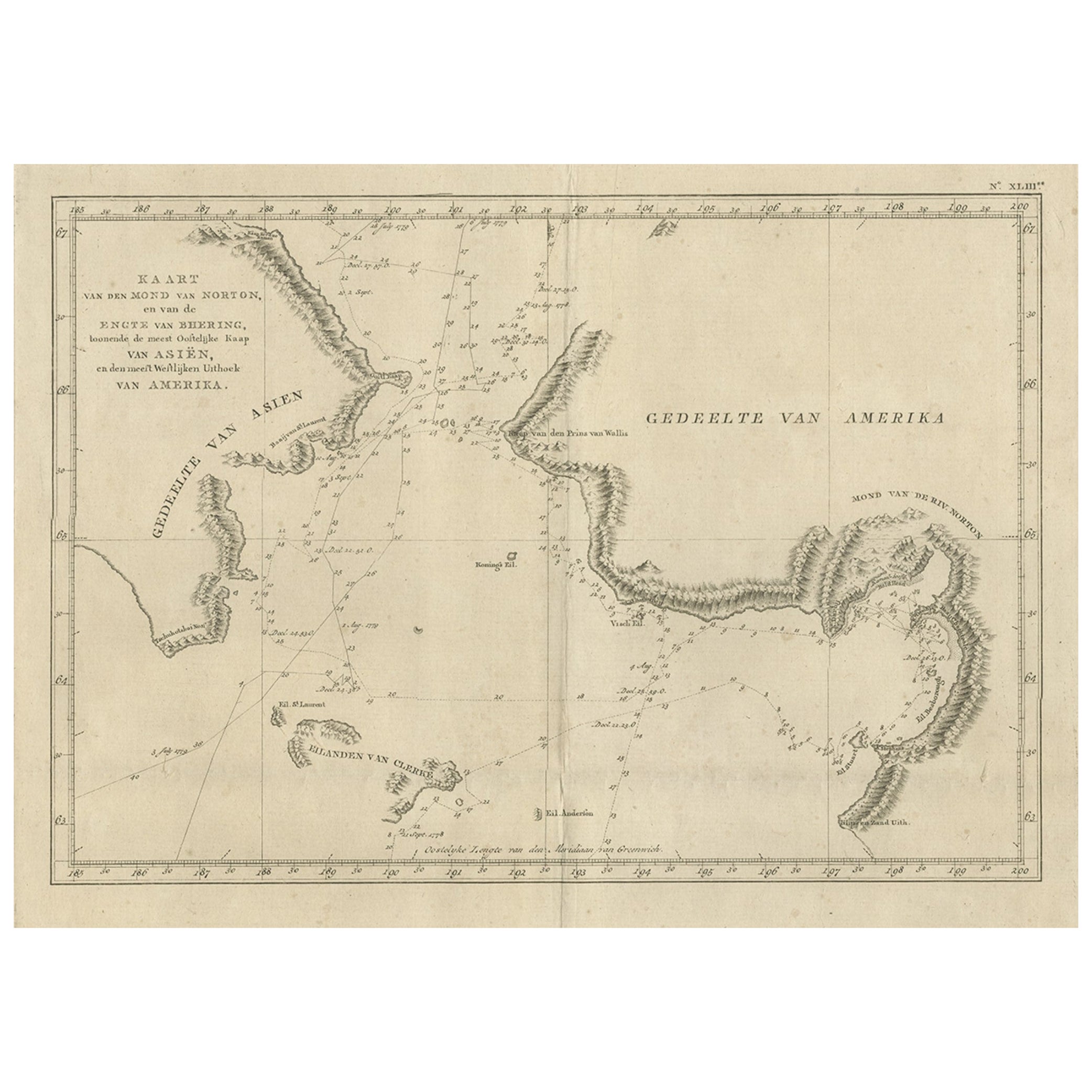
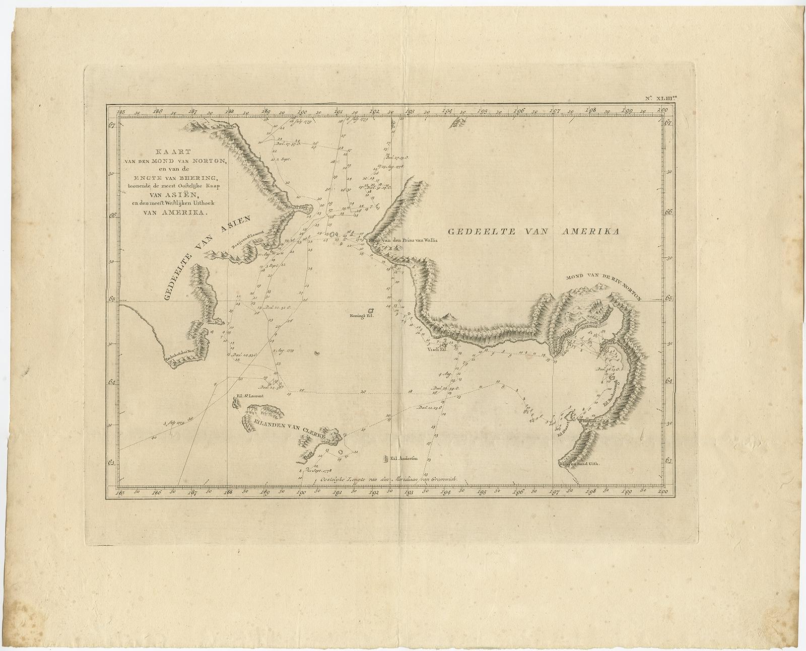
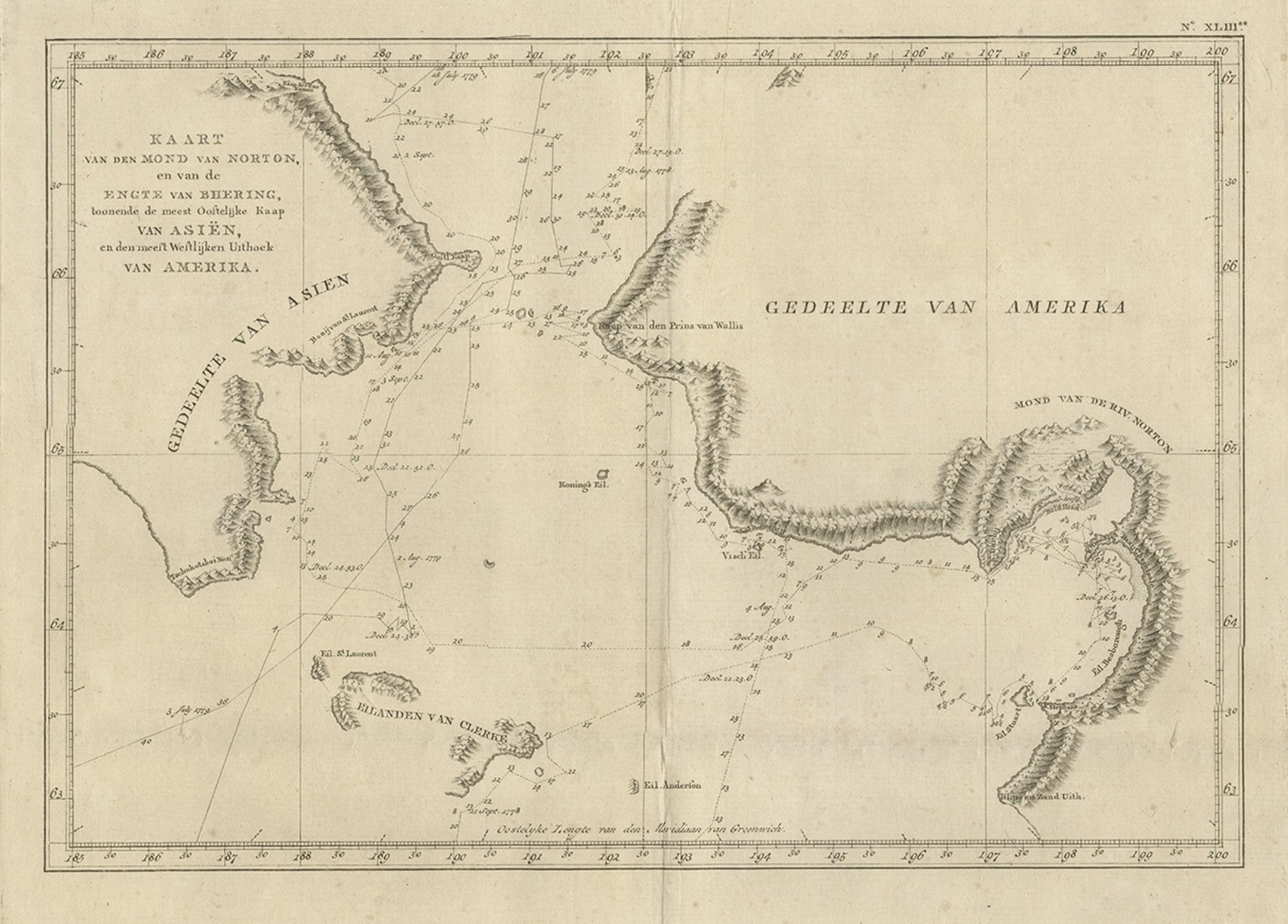
Original Copper Engraved Map of the Bering Strait by Captain Cook, 1803

€ 790

Original antique · The actual sheet photographed · Certificate of authenticity on request · Sold unframed · Worldwide shipping from € 15 (rates)

Date
1803
Sheet size
43 × 53 cm (16.9 × 20.9 in)
Reference
BG-11487-11

Condition

Very good, general age-related toning and minor foxing. Please review the images for further condition details.
About this sheet

Antique map titled 'Kaart van den Mond van Norton, en van de Engte van Bhering, toonende de meest Oostlijke Kaap van Asien, en den meest Westlijken Urthoek van Amerika'.

Map of the Bering Strait from the coast south of Norton Sound to the coast north of Cap du Prince de Galles. Originates from 'Reizen Rondom de Waereld door James Cook (..)'.

Artists and Engravers: Translated by J.D. Pasteur. Published by Honkoop, Allart en Van Cleef.

More from Europe

Ask about this sheet

Original Copper Engraved Map of the Bering Strait by Captain Cook, 1803
1803 · Ref. BG-11487-11 · € 790
We reply by email, usually within one working day.