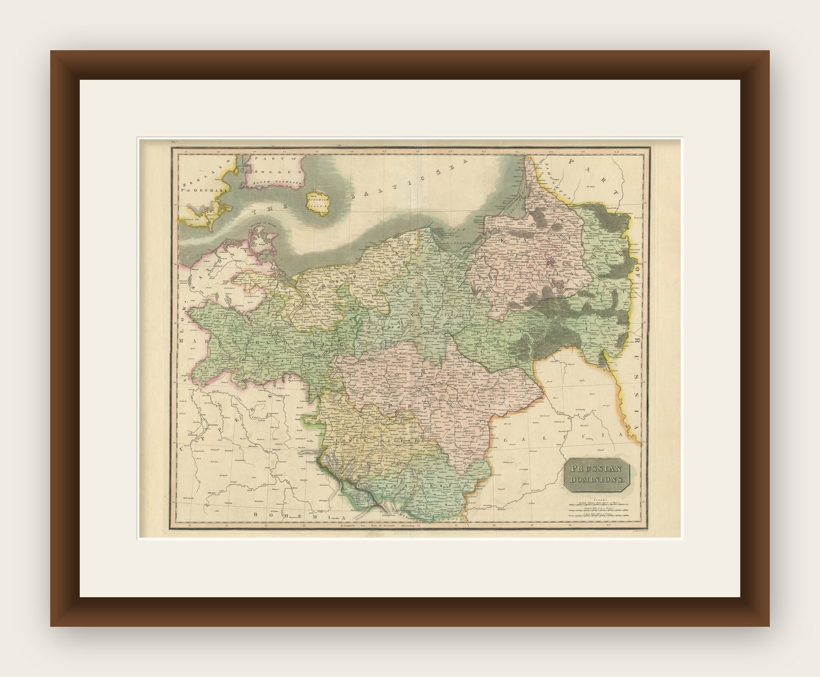
Prussian Dominions Map by John Pinkerton, 1818 - Detailed Copperplate Engraving
€ 770
Original antique · The actual sheet photographed · Certificate of authenticity on request · Sold unframed · Worldwide shipping from € 15 (rates)
Date
1818
Sheet size
53.5 × 70 cm (21.1 × 27.6 in)
Reference
BG-13842-18
What the condition grades mean
Excellent
Bright and clean, with no faults worth mentioning.
Very good
Only light signs of age, such as faint toning.
Good
Normal signs of age for a sheet of this period: toning, some foxing, small marks or neat old repairs.
Fair
Clear faults such as staining, tears or repairs, priced to match.
Every fault we see is written in the condition note, and the whole sheet is shown uncropped in the photos.
Condition
Very good. Some age-related toning and light foxing around the edges. A faint central fold as issued, with minor handling wear, but overall well-preserved with strong original hand-coloring. Edges show slight wear consistent with age.
About this sheet
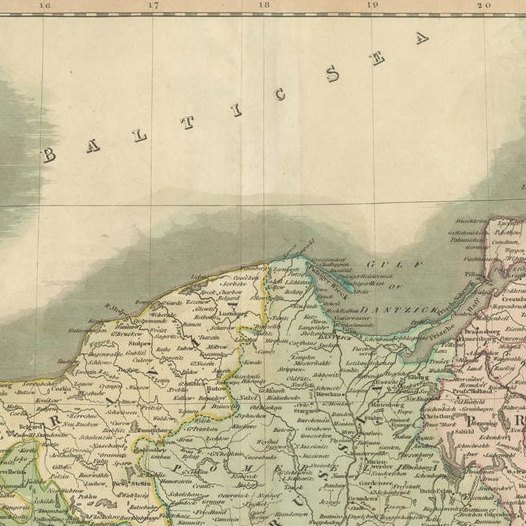
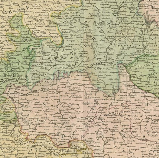
Prussian Dominions Map by John Pinkerton, 1818 - Detailed Copperplate Engraving This detailed map by John Pinkerton depicts the Prussian Dominions as of 1818, including regions of the former Kingdom of Poland. Colored by provinces, the map provides excellent detail, showcasing the extensive territories under Prussian control. The engraving, typical of Pinkerton's work, captures the remarkable detail and depth characteristic of early 19th-century British cartography, with a three-dimensional feel that enhances its visual appeal.
John Pinkerton, a notable Scottish historian, geographer, and critic, produced this map as part of his celebrated New Modern Atlas (1808-15). The atlas, noted for its fine copperplate engraving, represents some of the finest cartographic work from the early 19th century. Unlike more common atlases by Cary and Thomson, Pinkerton's folio atlas was recognized for its superior attention to detail.
This map serves as an excellent example of the quality and precision found in Pinkerton's geographical works, demonstrating his commitment to accuracy and craftsmanship. It is highly valued by collectors due to its rarity, aesthetic appeal, and historical significance in understanding the cartography of the Prussian Empire.