About this sheet
Ancient Germania Map — Roman Germany & Danube Frontier, Wilkinson 1822
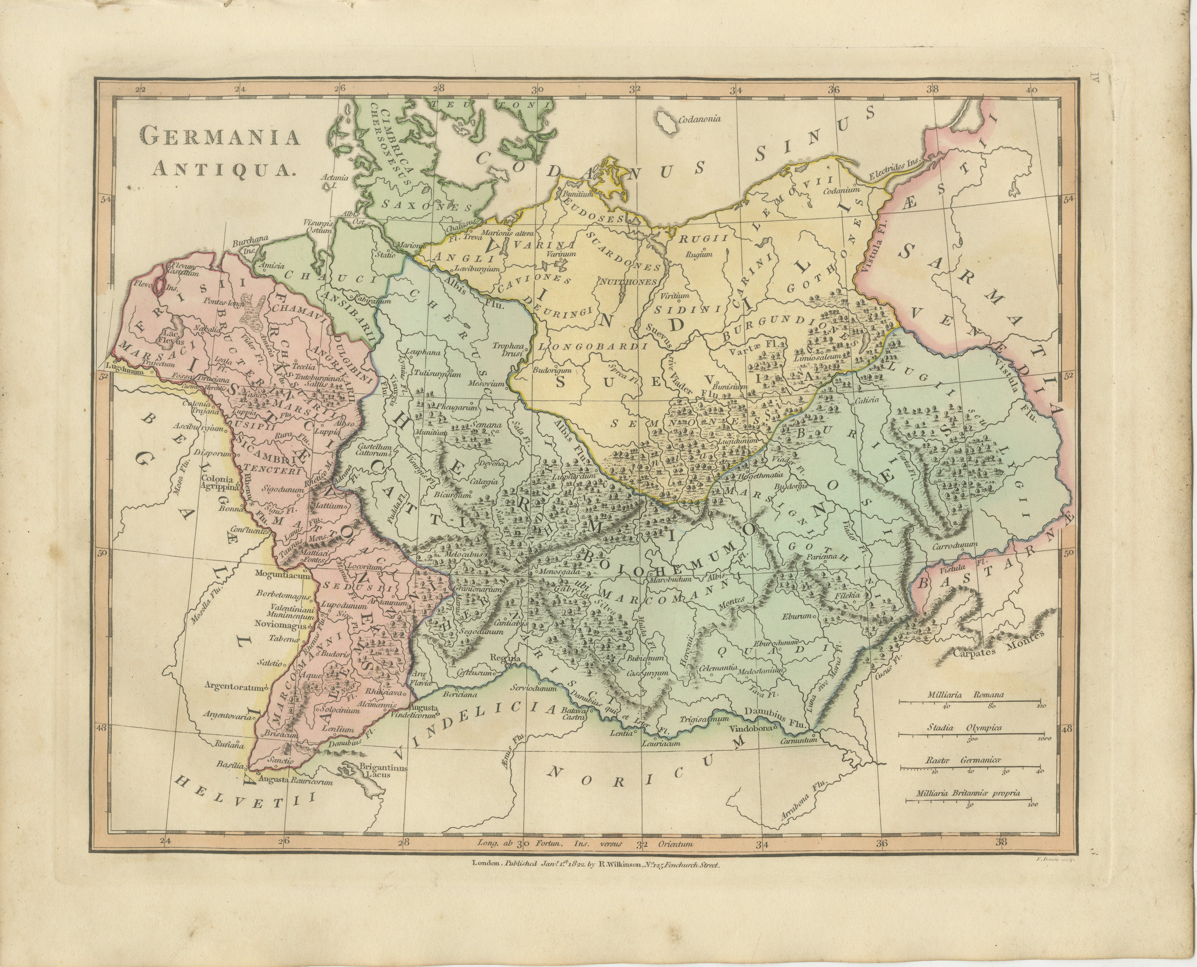
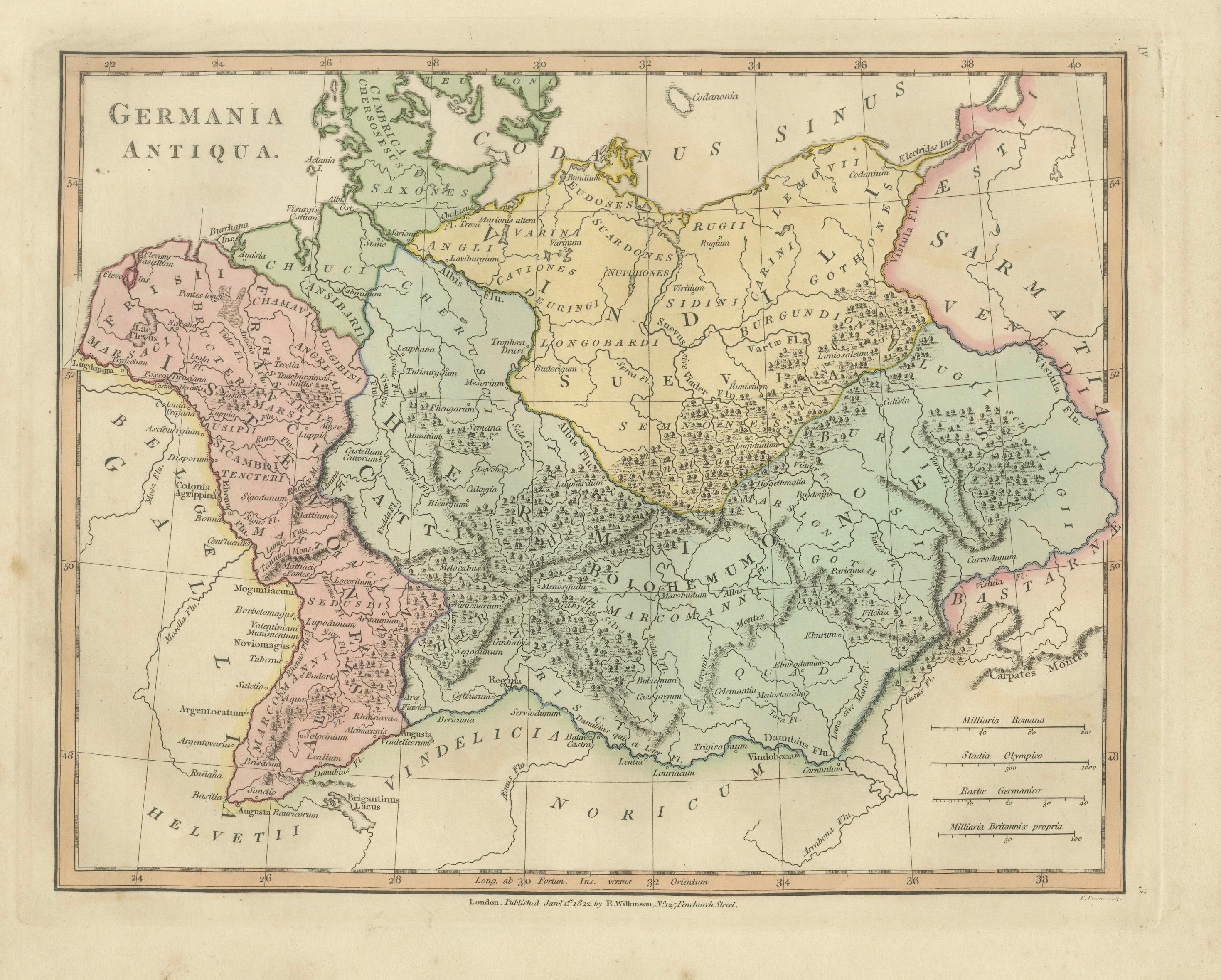
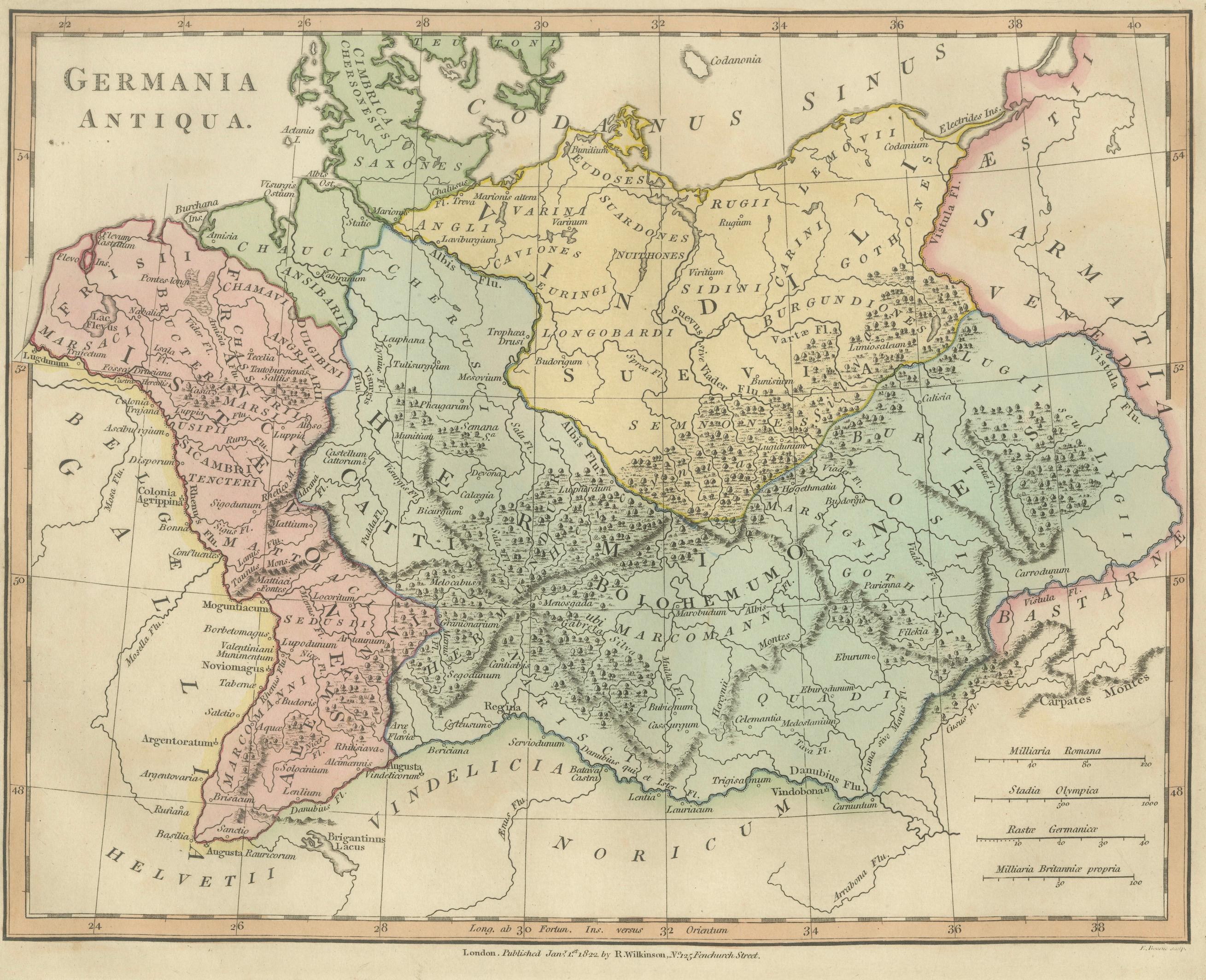
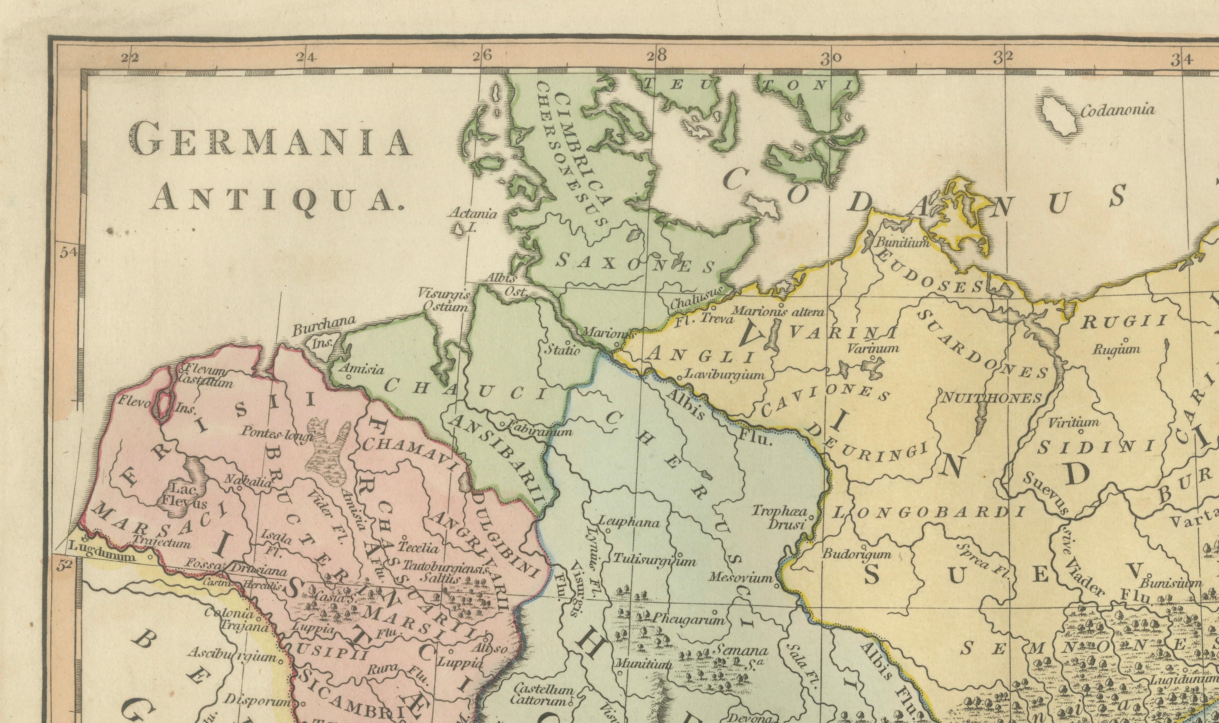
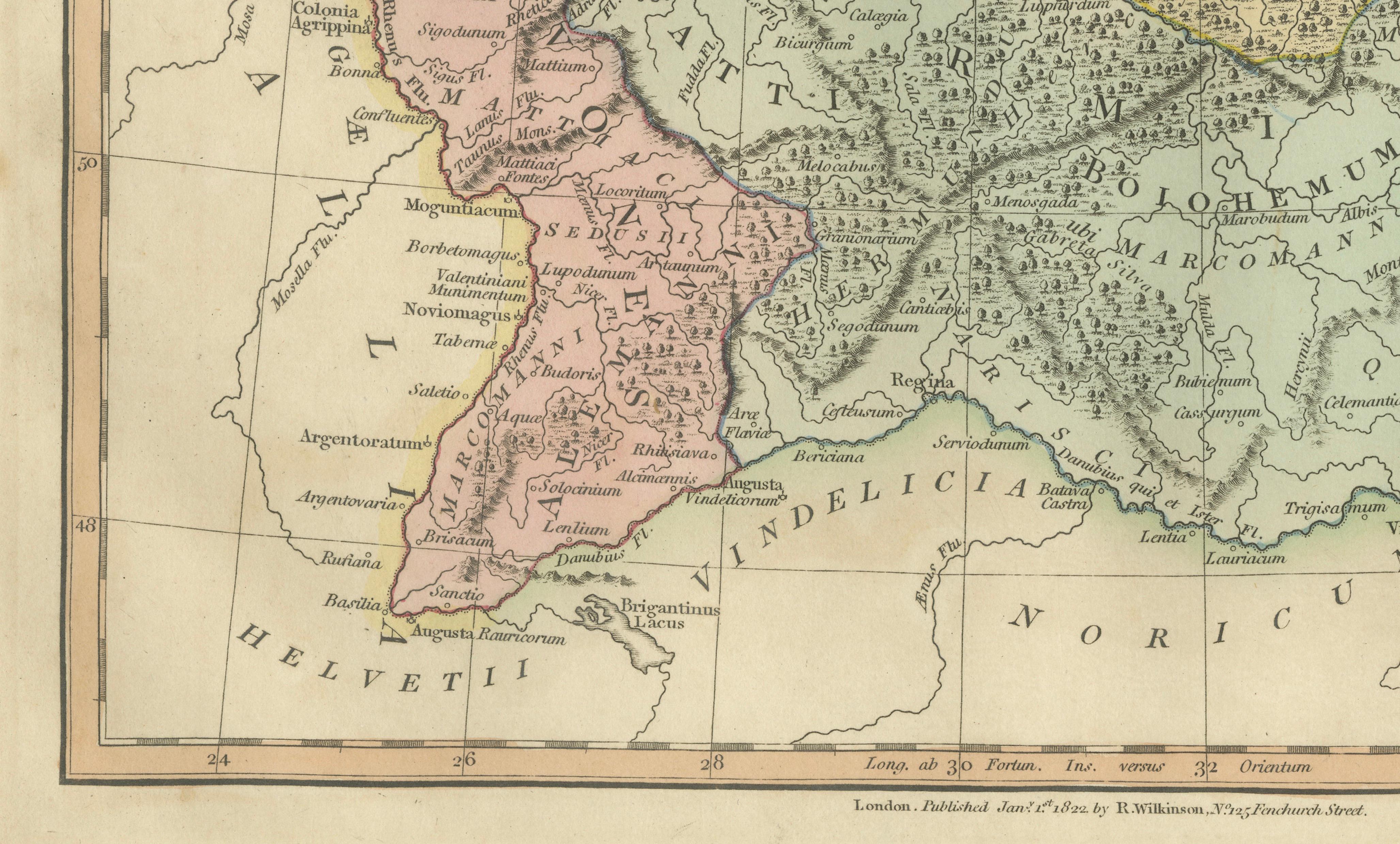
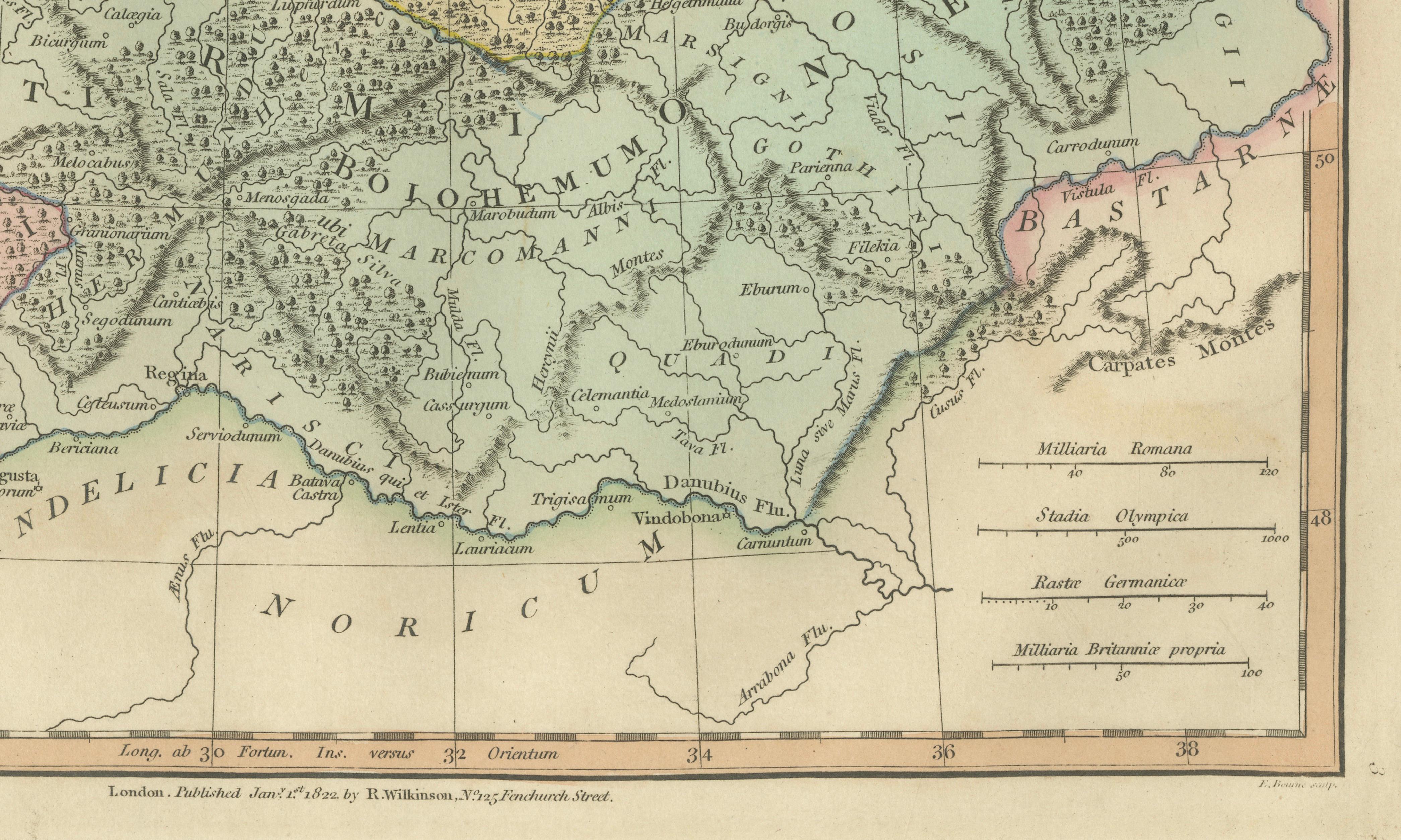
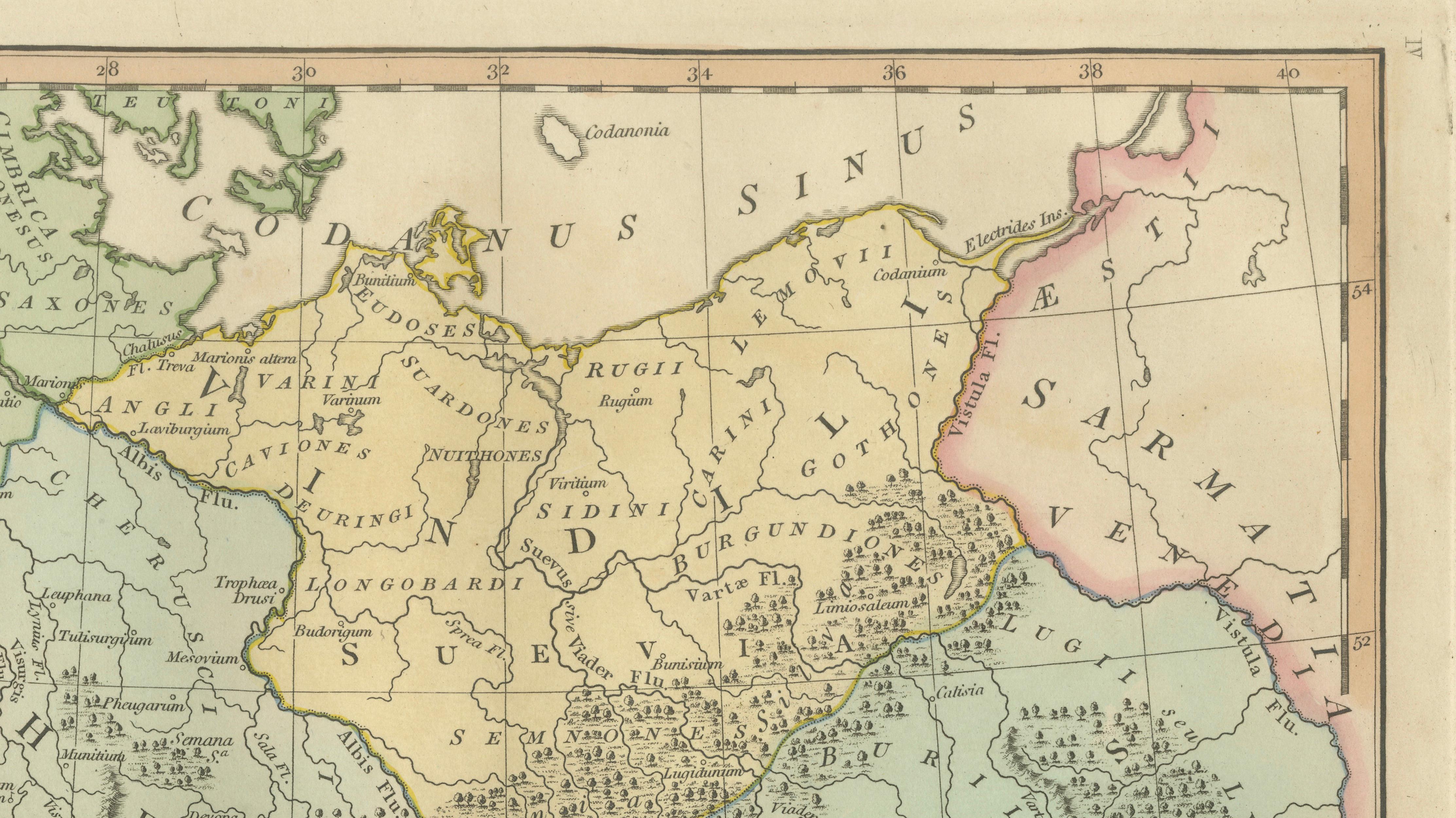
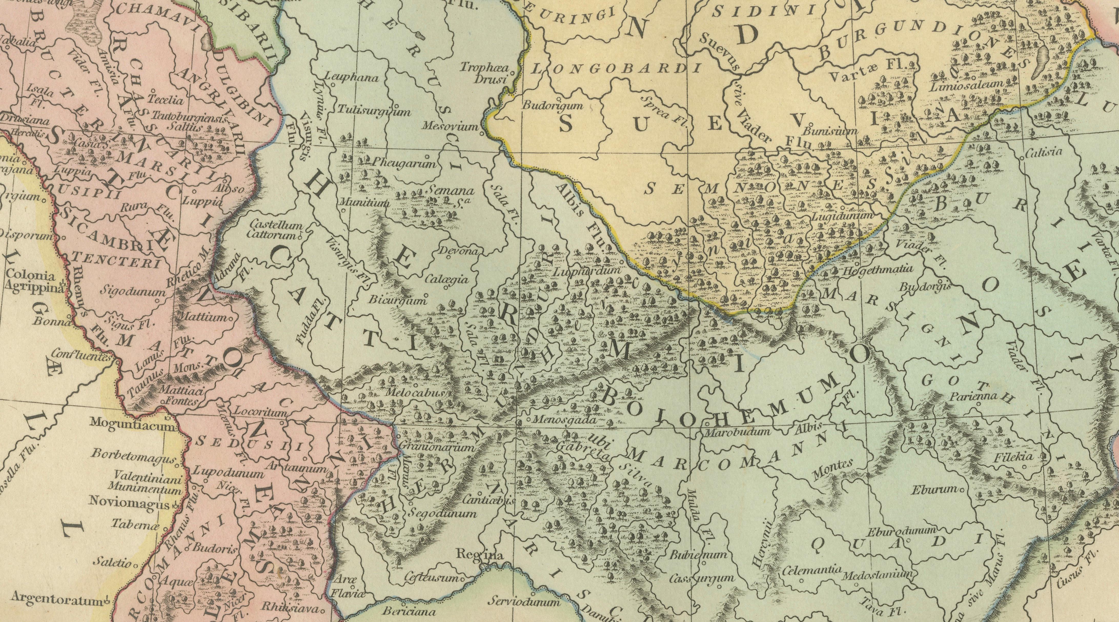
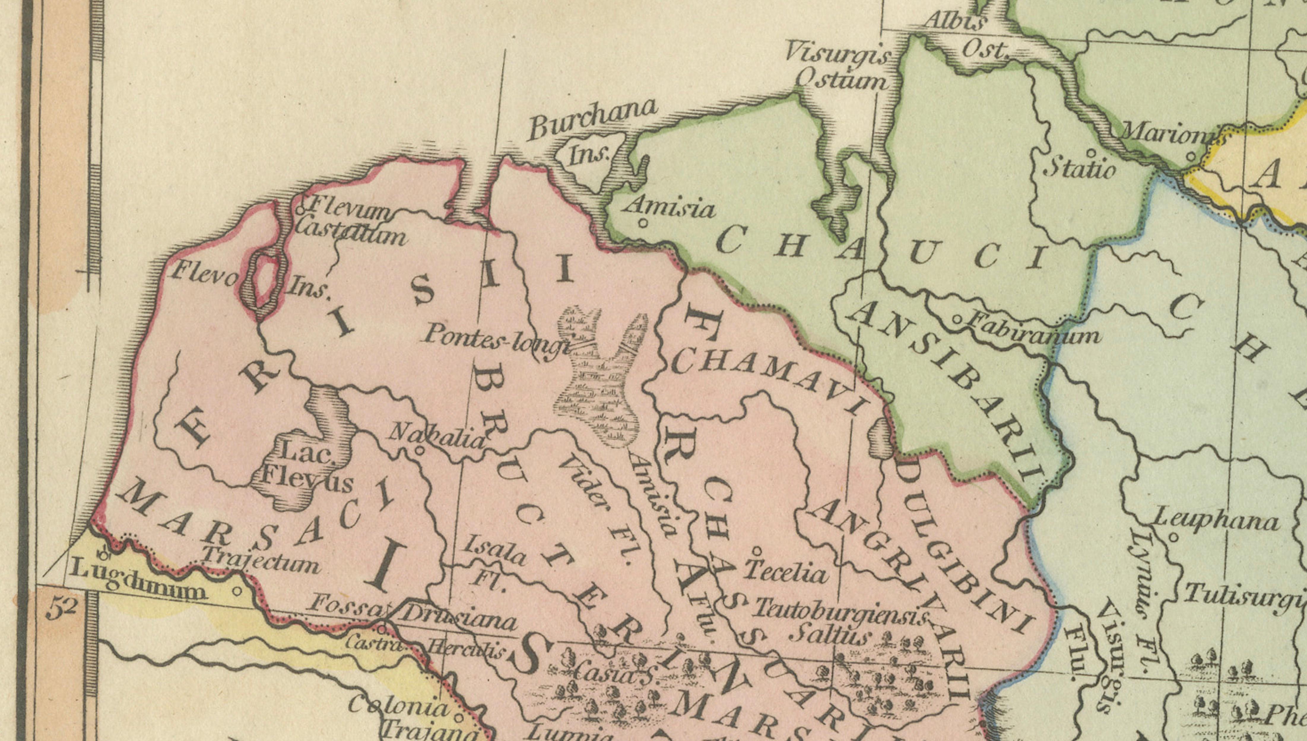
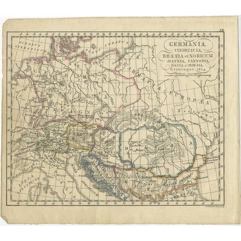
This detailed antique map titled Germania Antiqua presents the Roman-era geography of Central Europe, illustrating the territories beyond the northern frontier of the Roman Empire. Published in London in 1823 by the English cartographer Robert Wilkinson, the map forms part of his important series of classical historical maps designed to visualize the ancient world through early nineteenth-century scholarship.
The engraving depicts ancient Germania extending from the Rhine River eastward toward Sarmatia and the Baltic regions, encompassing areas corresponding to modern Germany, the Netherlands, Poland, and parts of Central and Eastern Europe. Roman provincial borders along the Rhine and Danube are clearly distinguished through delicate original hand coloring, contrasting imperial territories with the tribal lands beyond Rome’s control.
Numerous classical tribal names appear throughout the composition, including the Cherusci, Suevi, Marcomanni, and Burgundiones, reflecting the ethnographic knowledge derived from Roman historians such as Tacitus and Ptolemy. Rivers, forests, and mountain ranges are rendered with fine engraved texture, giving visual depth to regions once considered remote and mysterious by the classical world.
Wilkinson’s maps were produced during a period when classical education and antiquarian interest shaped European intellectual culture. These works combined scholarly reconstruction with decorative elegance, resulting in maps that function equally as educational historical documents and sophisticated decorative prints. The balanced composition and subtle pastel coloring make this sheet particularly suitable for display, appealing to collectors interested in Roman frontier history, early ethnography, or European antiquity.
Today, maps of *Germania Antiqua* are especially sought after for their strong historical narrative — illustrating the boundary between Roman civilization and the tribal cultures that later shaped medieval Europe.
Condition: Good antique condition overall. Light age-related toning and occasional scattered spotting. Minor handling wear to the margins consistent with age. Plate mark visible.
Framing tips: Excellent in a dark walnut or black frame with a warm ivory mat. A museum-style mount enhances the soft hand coloring and allows the dense geographic detail to remain visually calm and readable.
Technique: Copperplate engraving with original hand color
Maker: Robert Wilkinson, London, 1823
Keywords:
Germania Antiqua, Roman Germany, Rhine frontier, Danube frontier, Helvetii, Vindelicia, Noricum, Sarmatia, Baltic Sea antiquity, Suevi, Cherusci, Marcomanni, Burgundiones, Langobardi, Saxones, Varini, Roman Empire frontier map, Central Europe antiquity, Ancient Germany map, Roman ethnographic map, Wilkinson Atlas 1823, Classical Europe cartography, Roman provinces Europe