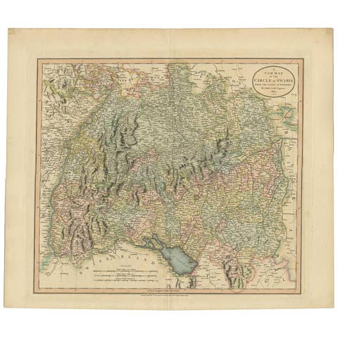
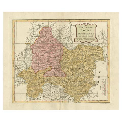
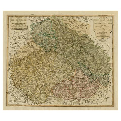
1811 John Cary Map of Lower Saxony - Featuring Bremen, Holstein, and More
€ 520
One of a kind: this is the sheet in the photographs. Ships from Langweer, the Netherlands.
Date
1811
Sheet size
54.5 × 64 cm (21.5 × 25.2 in)
Condition
Good
Reference
BG-13842-19
Condition
Very good for its age. The hand-coloring remains vibrant, and the engraving lines are clear and sharp. There is general age toning across the sheet, typical for a map of this period, but no significant tears or stains are visible.
About this sheet
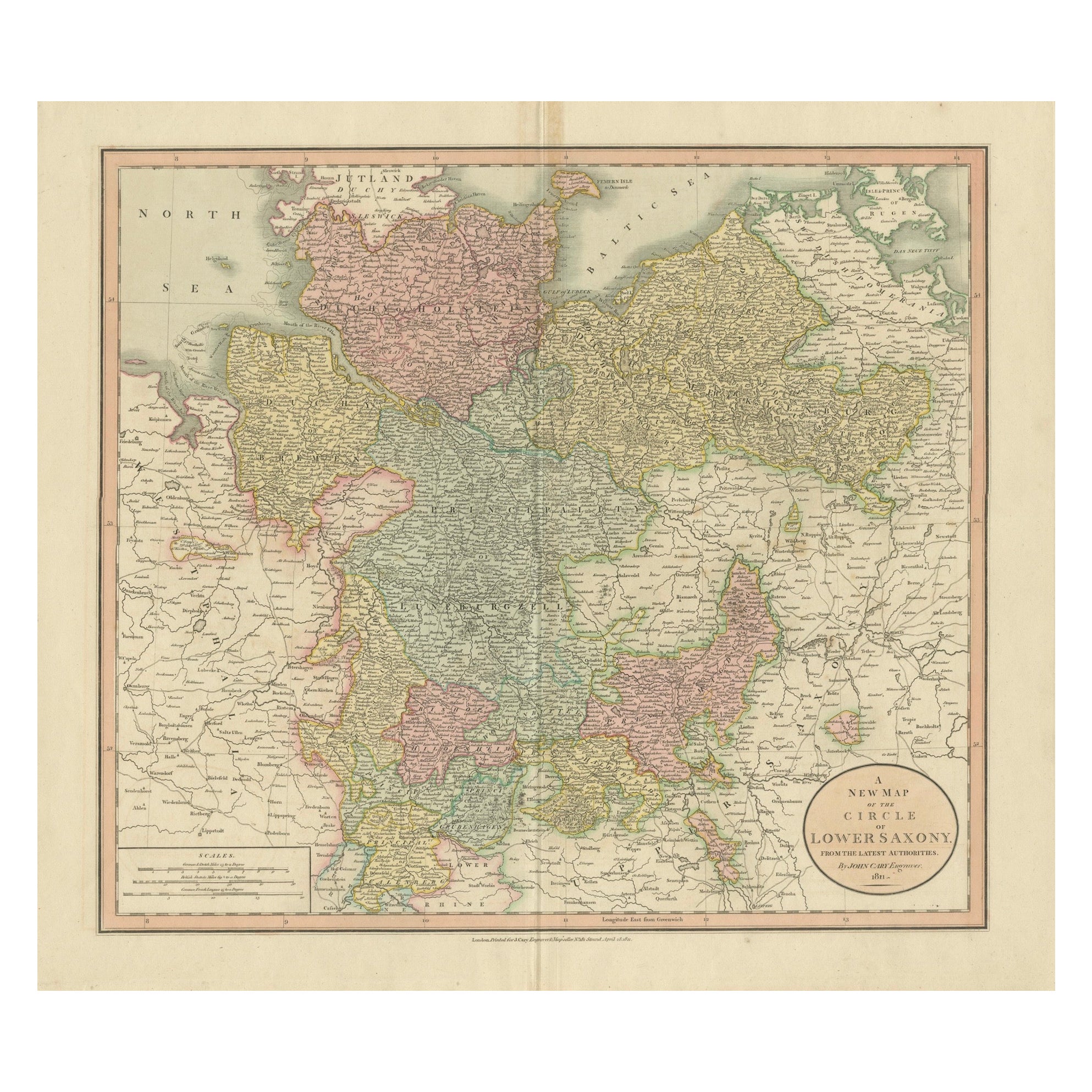

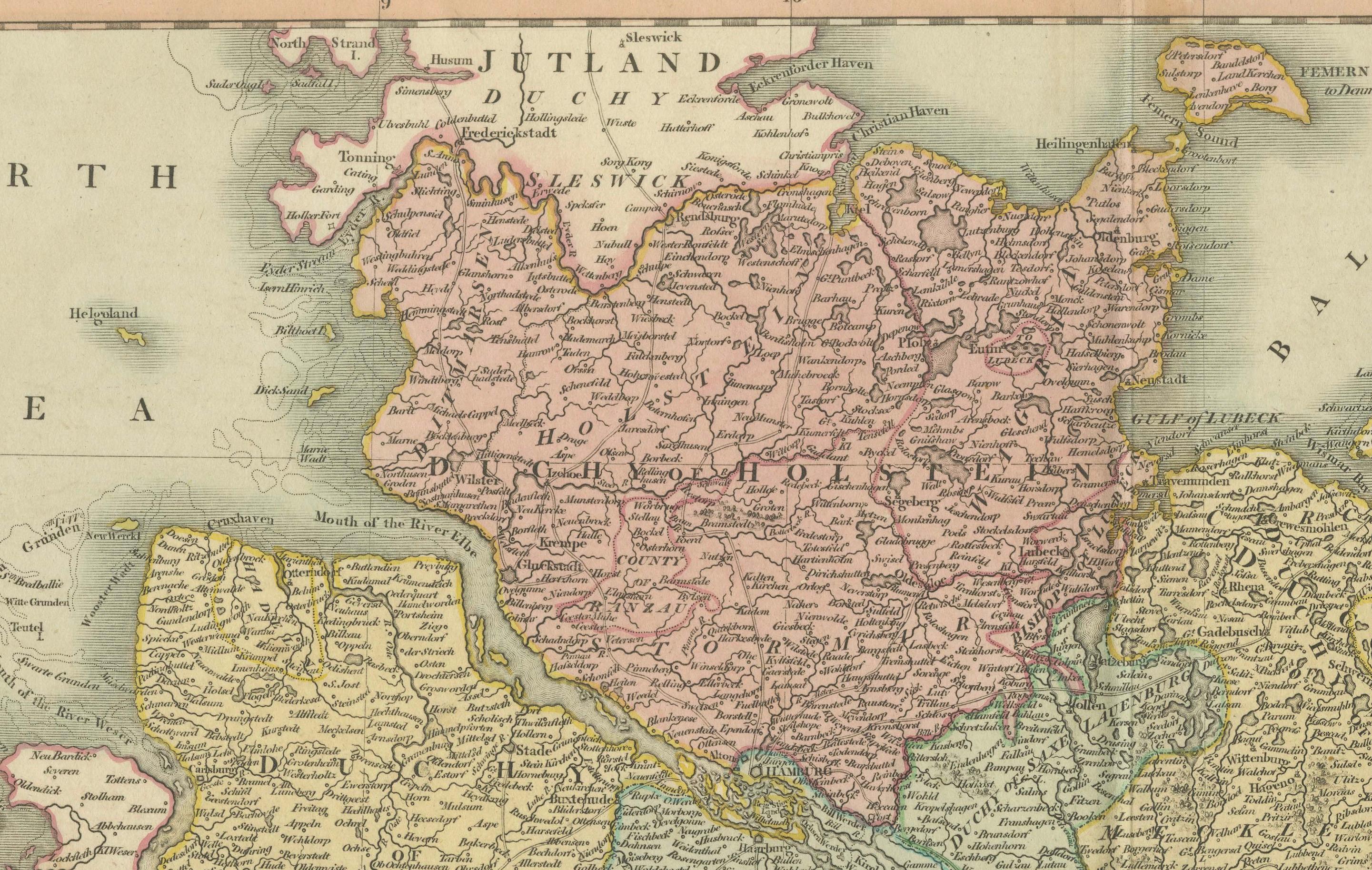
This is an exquisite map of the Lower Saxony region, created by the renowned cartographer John Cary in 1811. Covering the Duchies of Bremen, Holstein, Mecklenburg, and Saxe Lauenburg, as well as the Principalities of Lüneburg, Calenberg, Wolfenbüttel, and Magdeburg, this map is an elegant depiction of early 19th-century Germany.
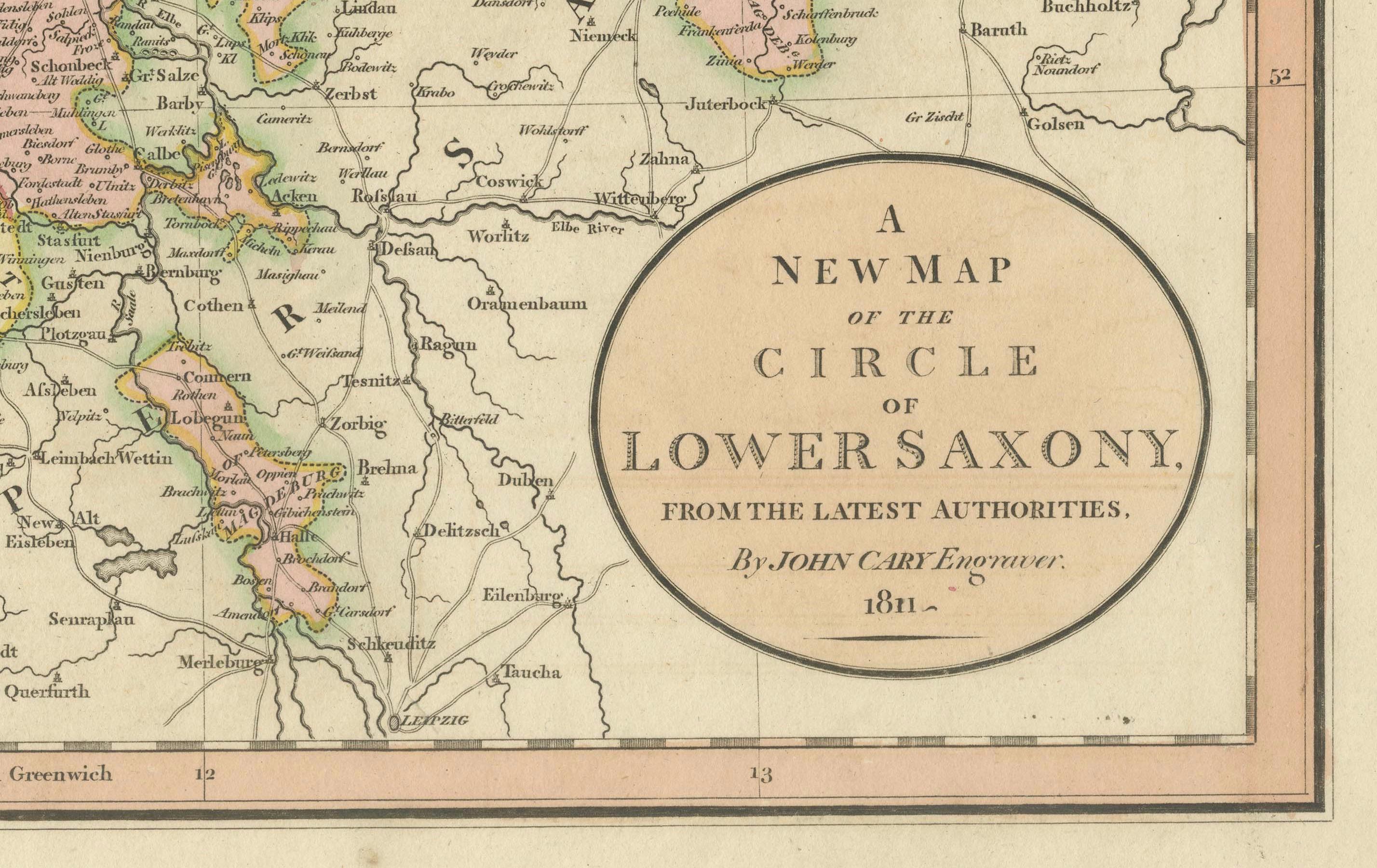
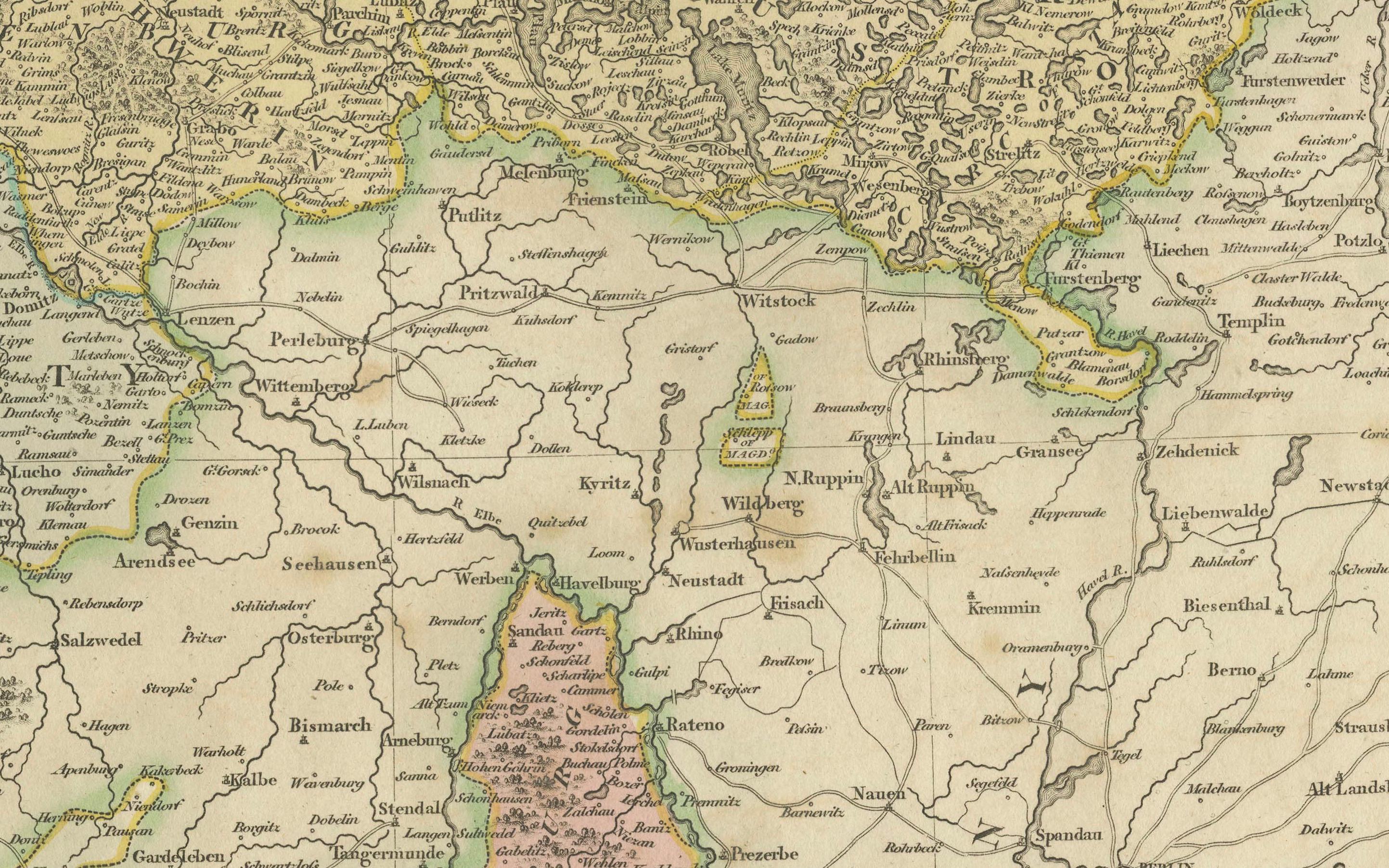
The map features detailed hand-coloring according to regional boundaries, showcasing forests, cities, palaces, forts, roads, rivers, and even offshore sandbars. The meticulous engraving highlights the geography and political divisions of the time, providing a fascinating glimpse into this historically significant region. Cary's craftsmanship and attention to detail make this map a visually captivating piece.
This map was originally published in Cary's "Universal Atlas," known for its precision and aesthetic quality, and is considered one of the most attractive atlas maps of Lower Saxony to emerge in the early 1800s. Its rich history and visual appeal make it an excellent collectible for those interested in cartography or German history.
The condition of this map appears to be very good for its age. The hand-coloring remains vibrant, and the engraving lines are clear and sharp. There is general age toning across the sheet, typical for a map of this period, but no significant tears or stains are visible. The paper edges show only minor wear, and there are no apparent folds or watermarks affecting the main image. Overall, this is a well-preserved example of John Cary's work, suitable for both display and collection purposes.