Maps & PrintsBartele Gallery · Langweer
Home / Antique Maps / Europe / Western Europe / Germany

Germany · 17th century

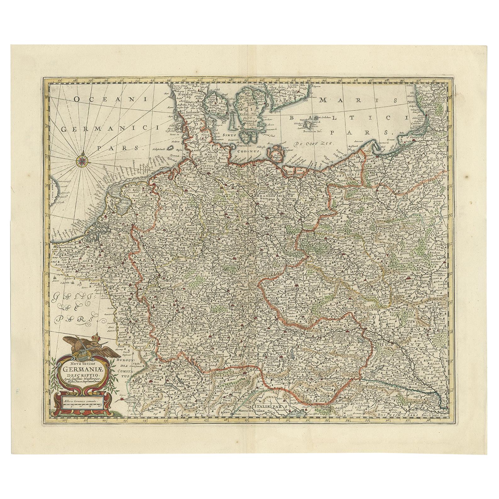
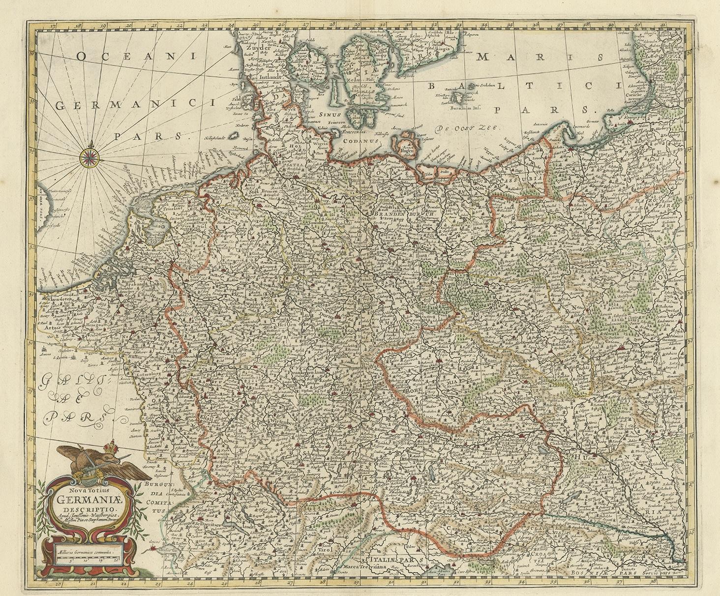
Antique Map of the German Empire, Johannes Janssonius van Waesbergen, circa 1670

€ 700

One of a kind: this is the sheet in the photographs. Ships from Langweer, the Netherlands.

Date
1670
Sheet size
52 × 59.5 cm (20.5 × 23.4 in)
Condition
Good
Reference
BG-12213

Condition

Please study images carefully.

About this sheet

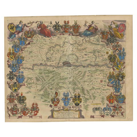
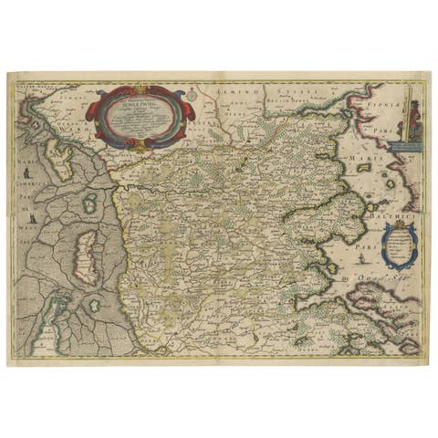
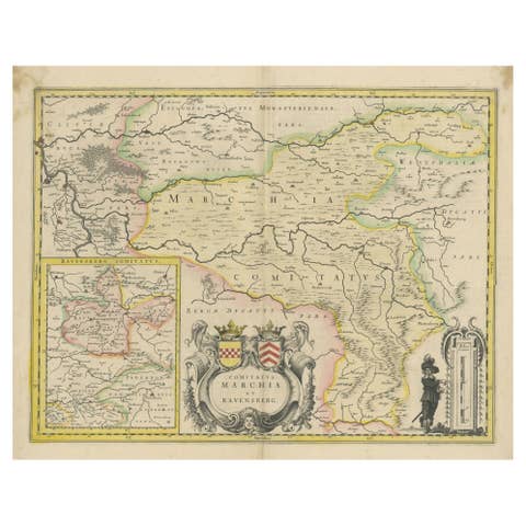
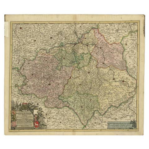
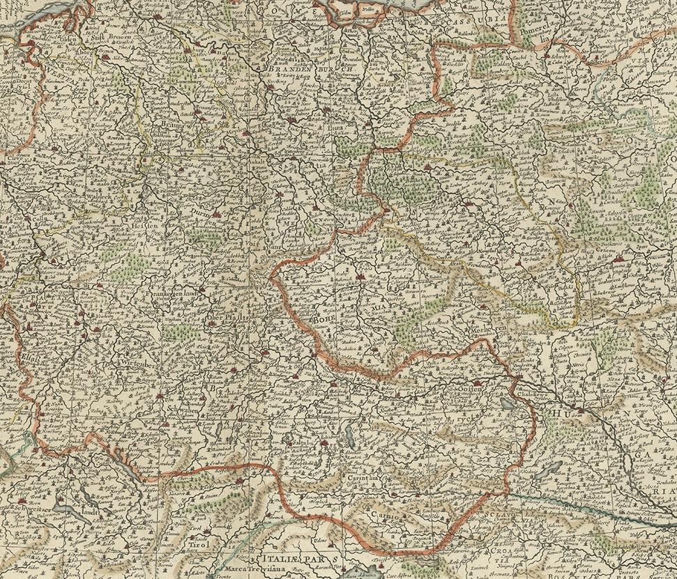
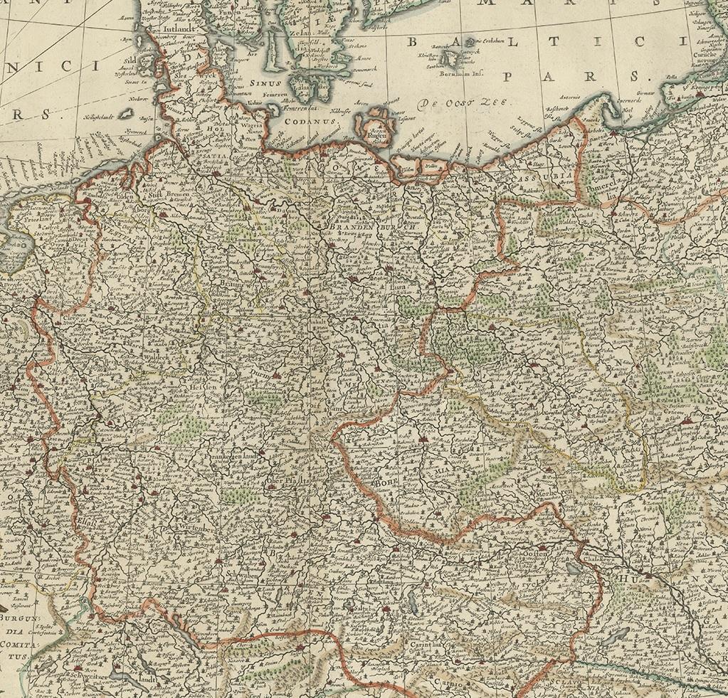
Antique map titled 'Nova Totius Germaniae Descriptio'. Uncommon map of the German Empire including the Netherlands, Germany, Switzerland, Austria, Bohemia, Moravia, Poland and the Baltic Countries.

More from Germany

Ask about this sheet

Antique Map of the German Empire, Johannes Janssonius van Waesbergen, circa 1670
1670 · Ref. BG-12213 · € 700
We reply by email, usually within one working day.