About this sheet
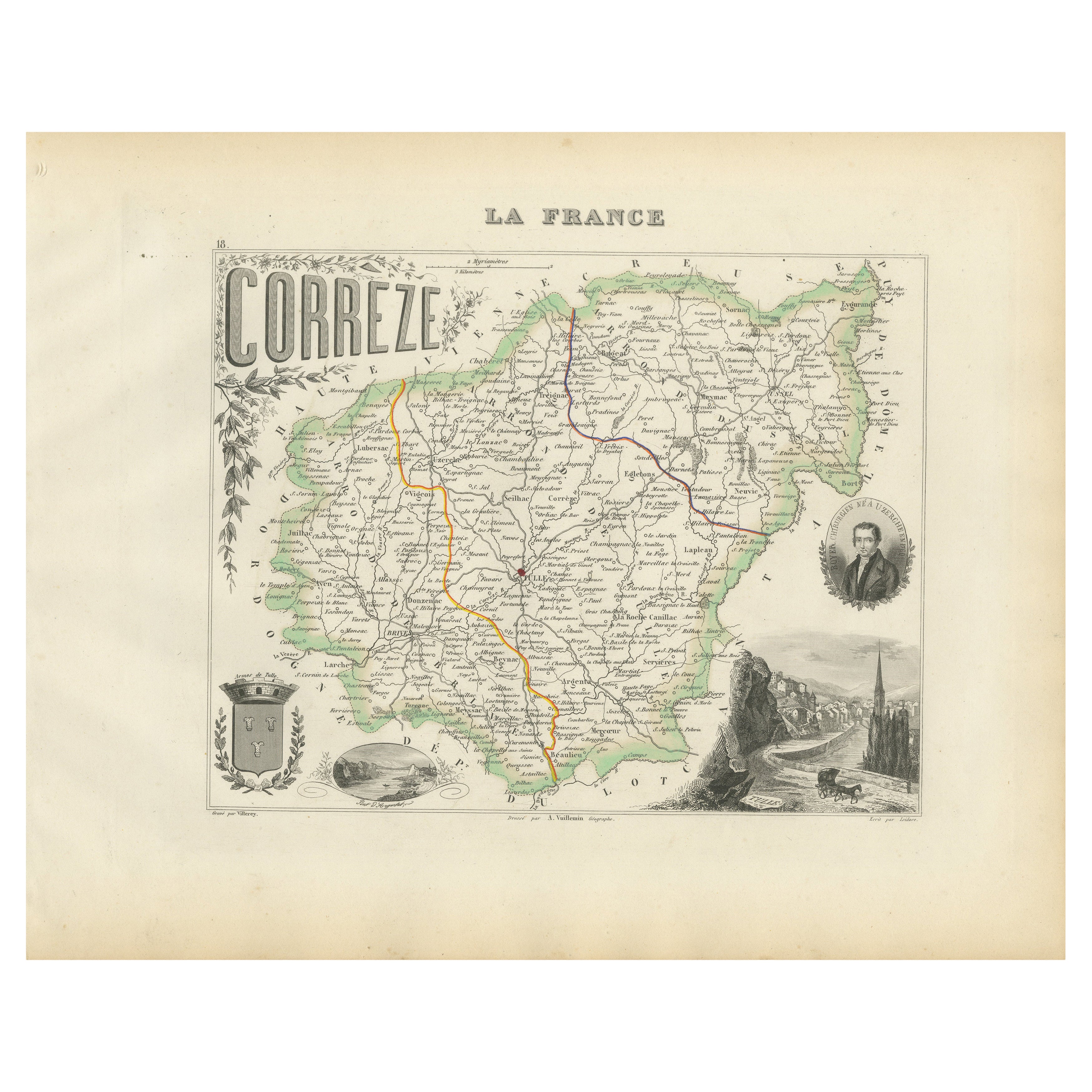
Map of Corrèze France with Brive, Tulle and Dordogne River Landscape
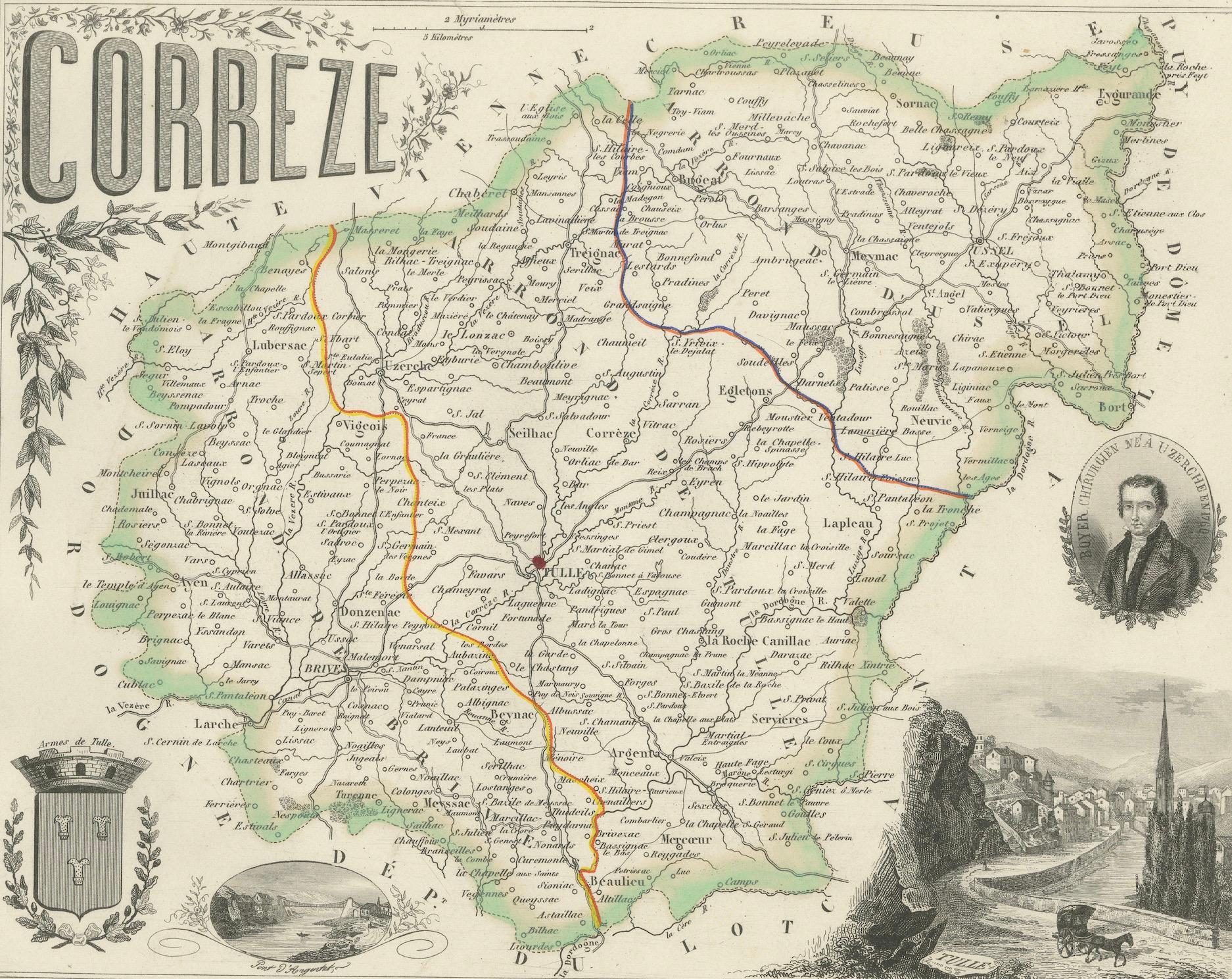
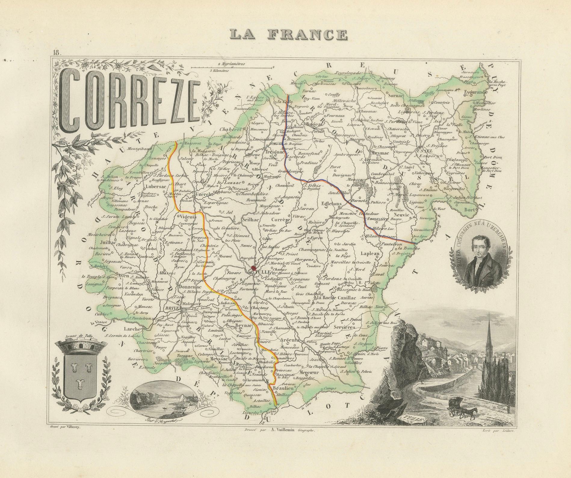
This finely detailed 19th-century map of the Corrèze department in southwestern France was published by Migeon in Paris and drawn by Alexandre Vuillemin for the *Nouvel Atlas Illustré*. It combines geographic accuracy with artistic decoration, offering a compelling glimpse into a historic region characterized by river valleys, forested hills, and medieval towns.
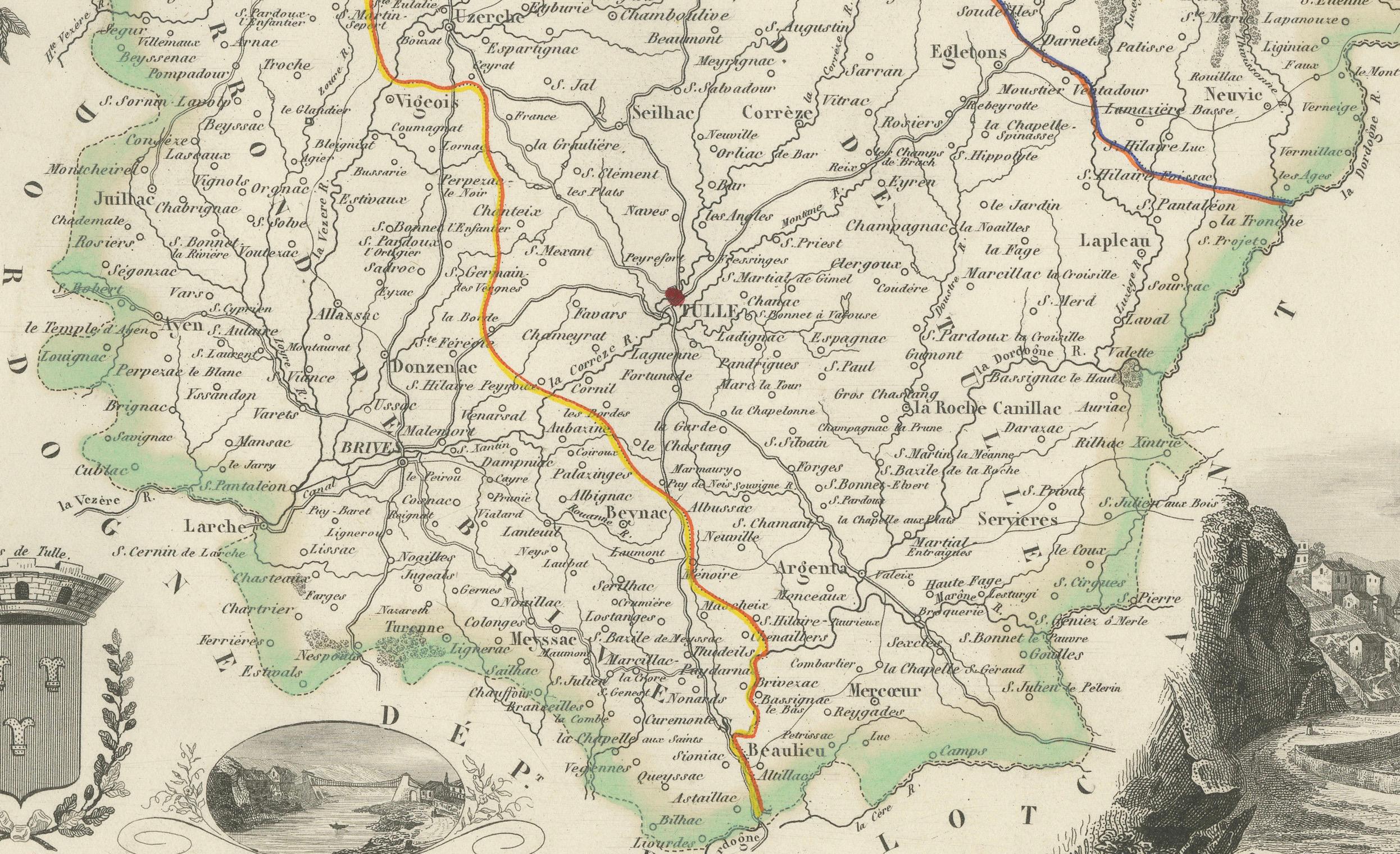
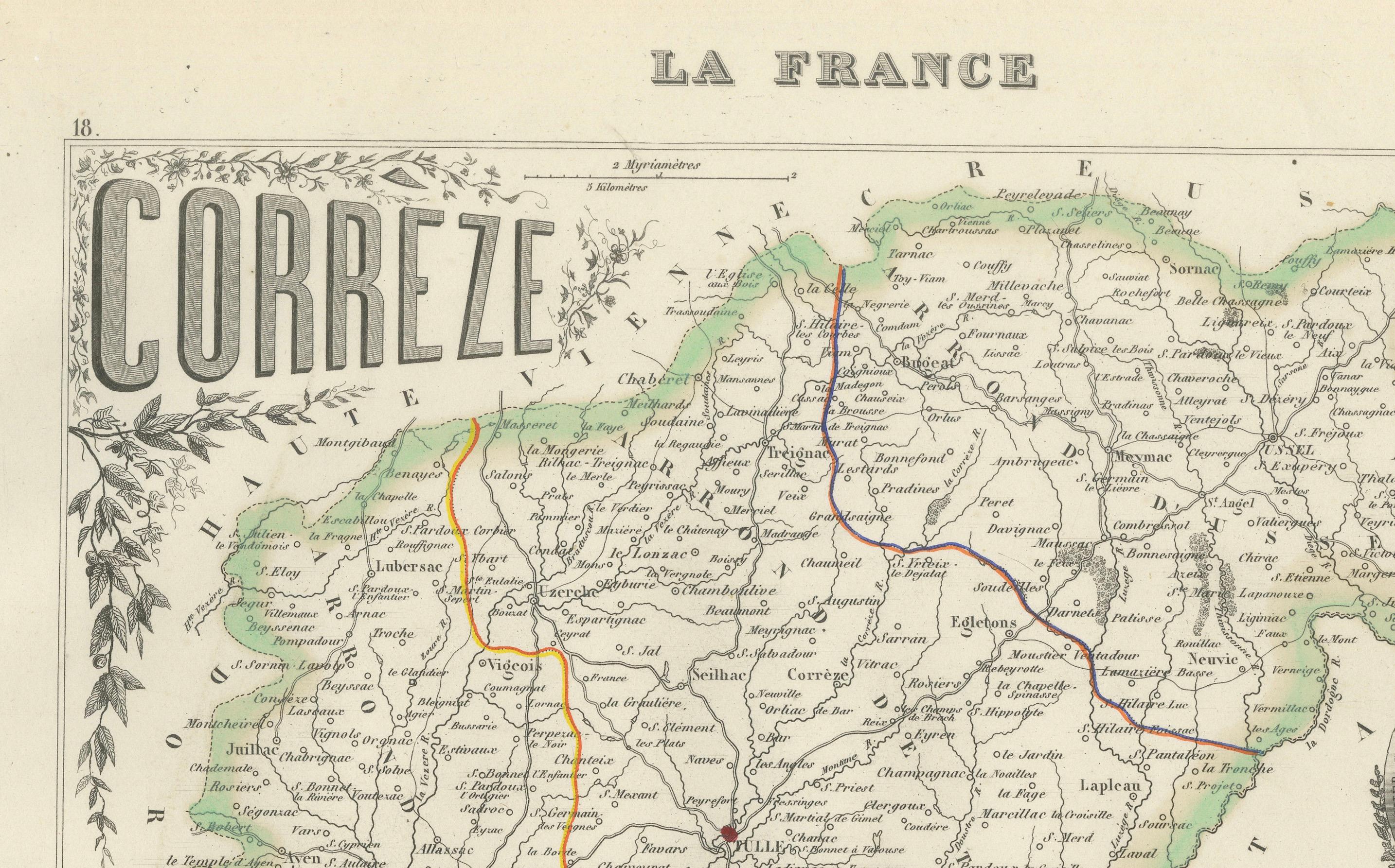
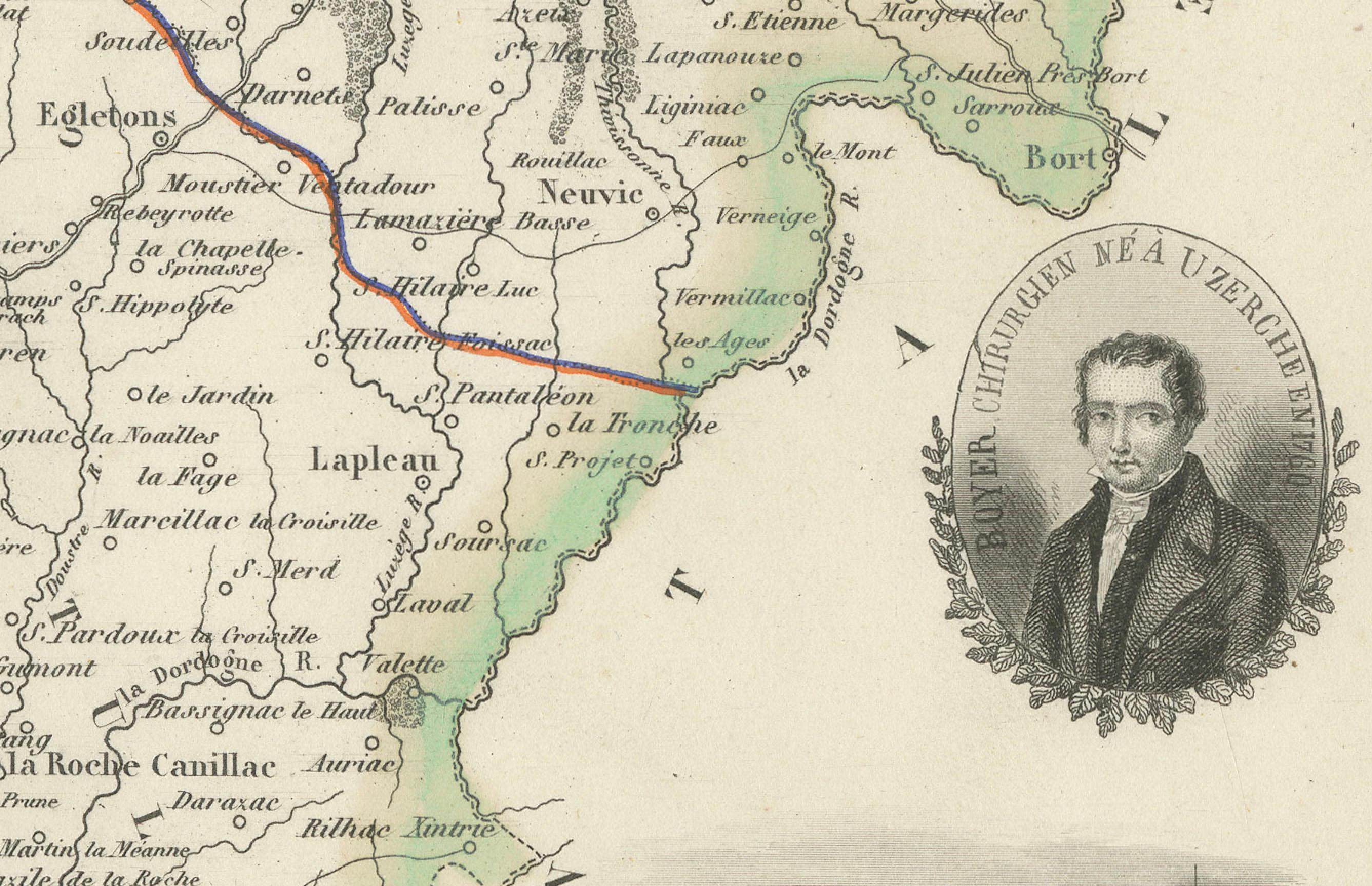
The map is bordered in soft green watercolor and shows the entire department, with clear labeling of towns, roads, and rivers. Brive-la-Gaillarde, the economic hub of Corrèze, and Tulle, the departmental capital, are centrally placed. The surrounding communes are precisely marked, and the map’s topography reflects the rolling uplands and river-carved valleys that define the region’s geography.
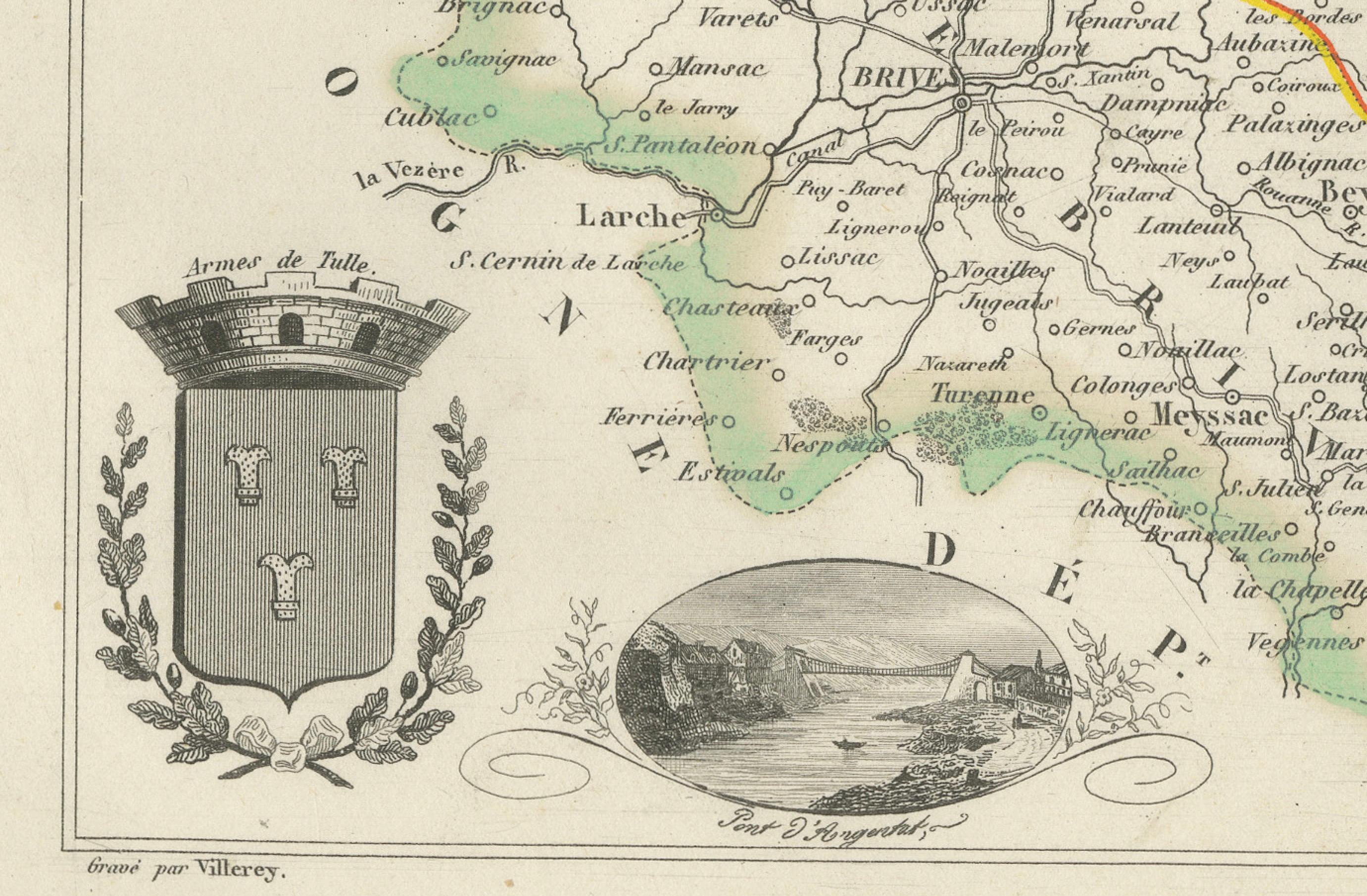
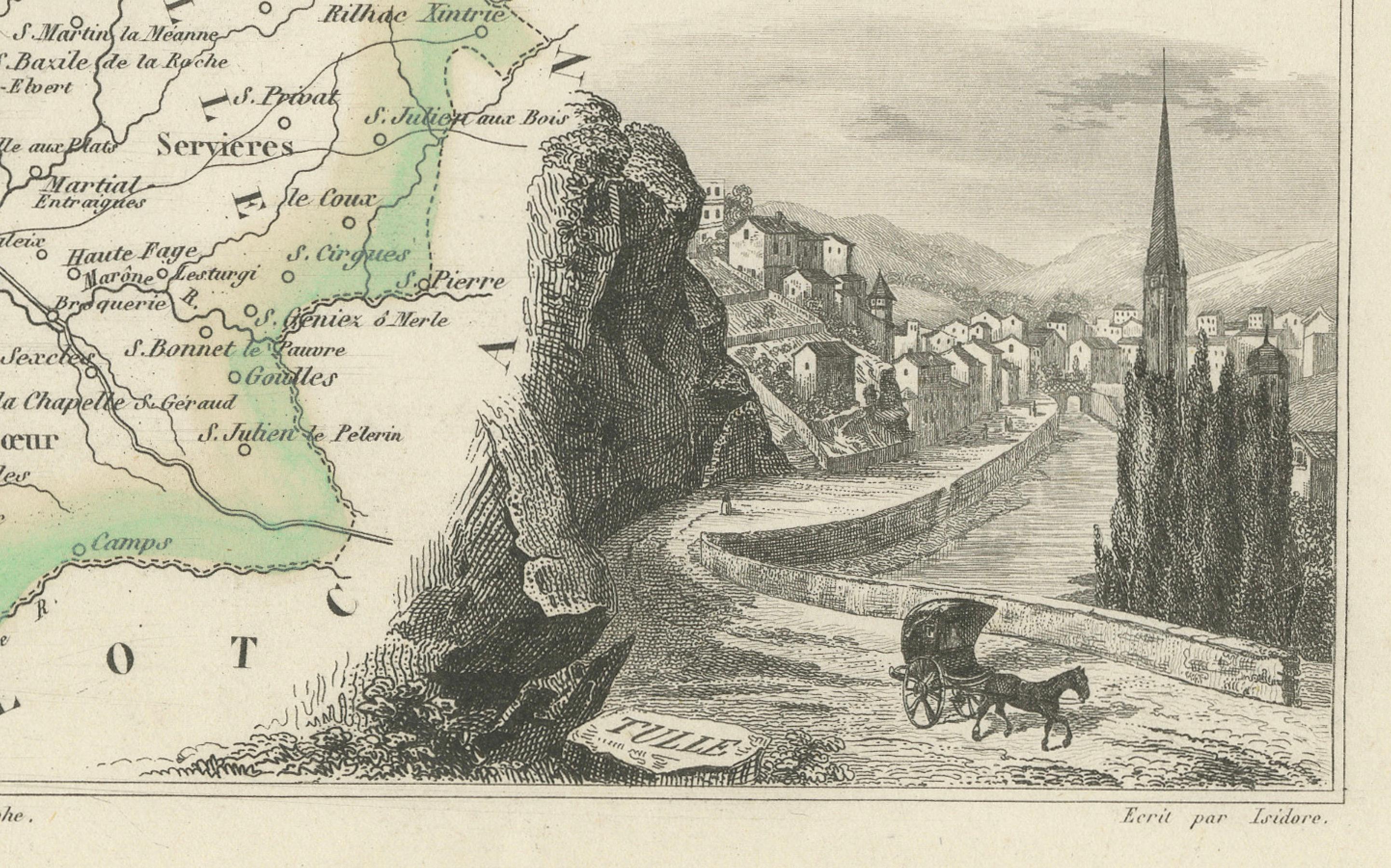
In the lower right is a charming vignette of a rural landscape showing a winding road, a carriage, steep cliffs, and a village spire—likely referencing the scenic Dordogne River valley that runs along the southern border of Corrèze. To the top right is a portrait of Charles de Rémusat, a notable philosopher and politician associated with the region. At bottom left, the departmental coat of arms and a pastoral scene of livestock and woodland enhance the map’s decorative features.
Corrèze is known for its traditional rural life, historic villages, and agricultural heritage. While not a major wine-producing area, the region is part of the greater Massif Central and benefits from a mild, humid climate suited for chestnuts, walnuts, cattle farming, and artisanal cheeses. Nearby Dordogne vineyards, as well as those from the Côtes de Brive, sometimes classified as IGP (Indication Géographique Protégée), complement the region’s modest but growing viticultural identity. The area is also rich in architectural heritage, with medieval hill towns like Collonges-la-Rouge and Turenne attracting cultural tourism.
This map is a classic example of 19th-century French cartographic art that balances precision and decoration. It is ideal for collectors interested in French regional history, rural culture, or decorative engravings.
Condition summary:
Very good condition with some light age-related toning and minor foxing in the margins. The engraved lines remain crisp and the original hand-coloring is clear and vibrant.
Framing tips:
A dark walnut or olive-toned frame will pair well with the green border of the map. A natural white or soft tan mat will highlight both the map and the engraved vignettes. Use UV-protective glass to preserve the print’s color and detail over time.