About this sheet
Map of Charente-Inférieure France with La Rochelle and Coastal Vineyards, 19th c
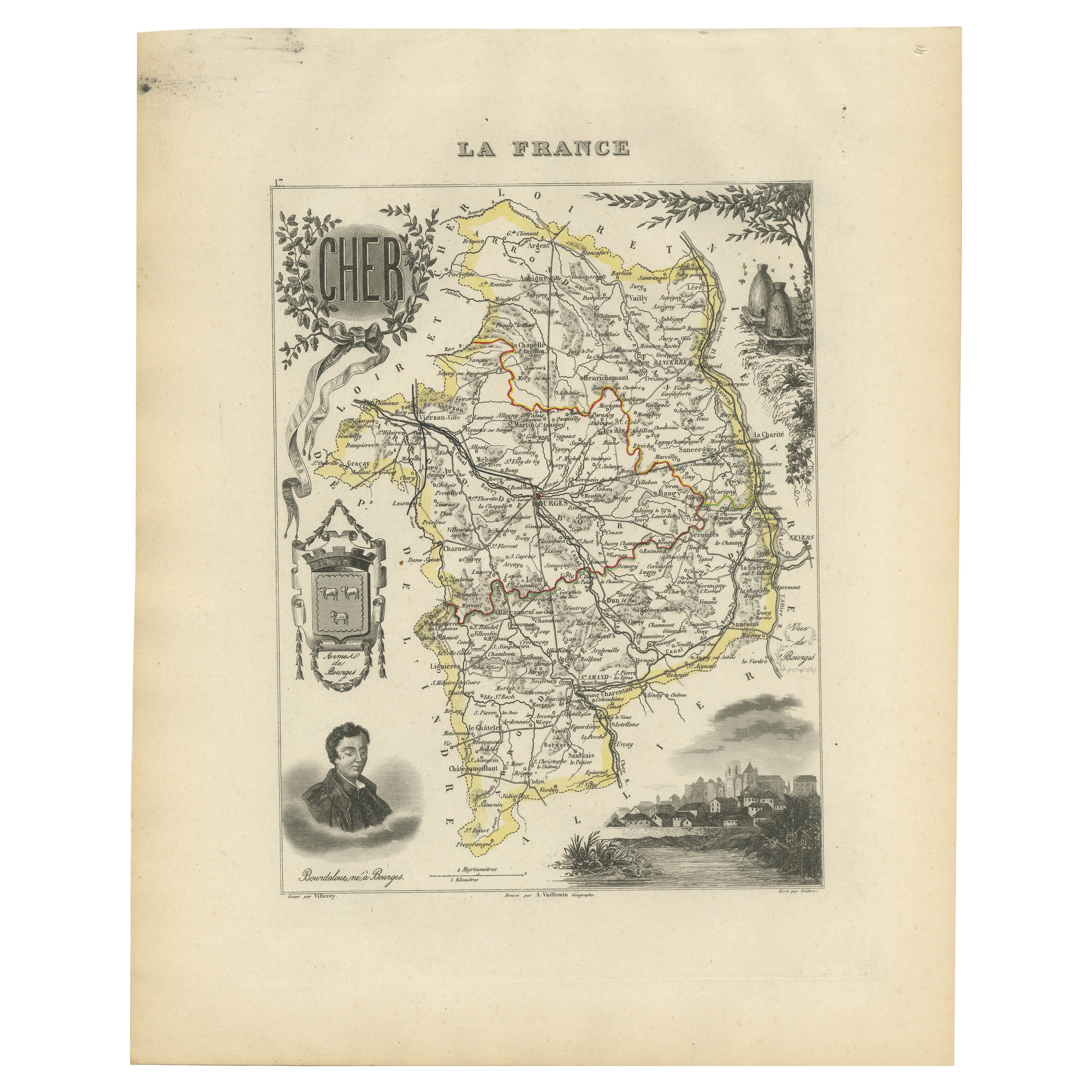
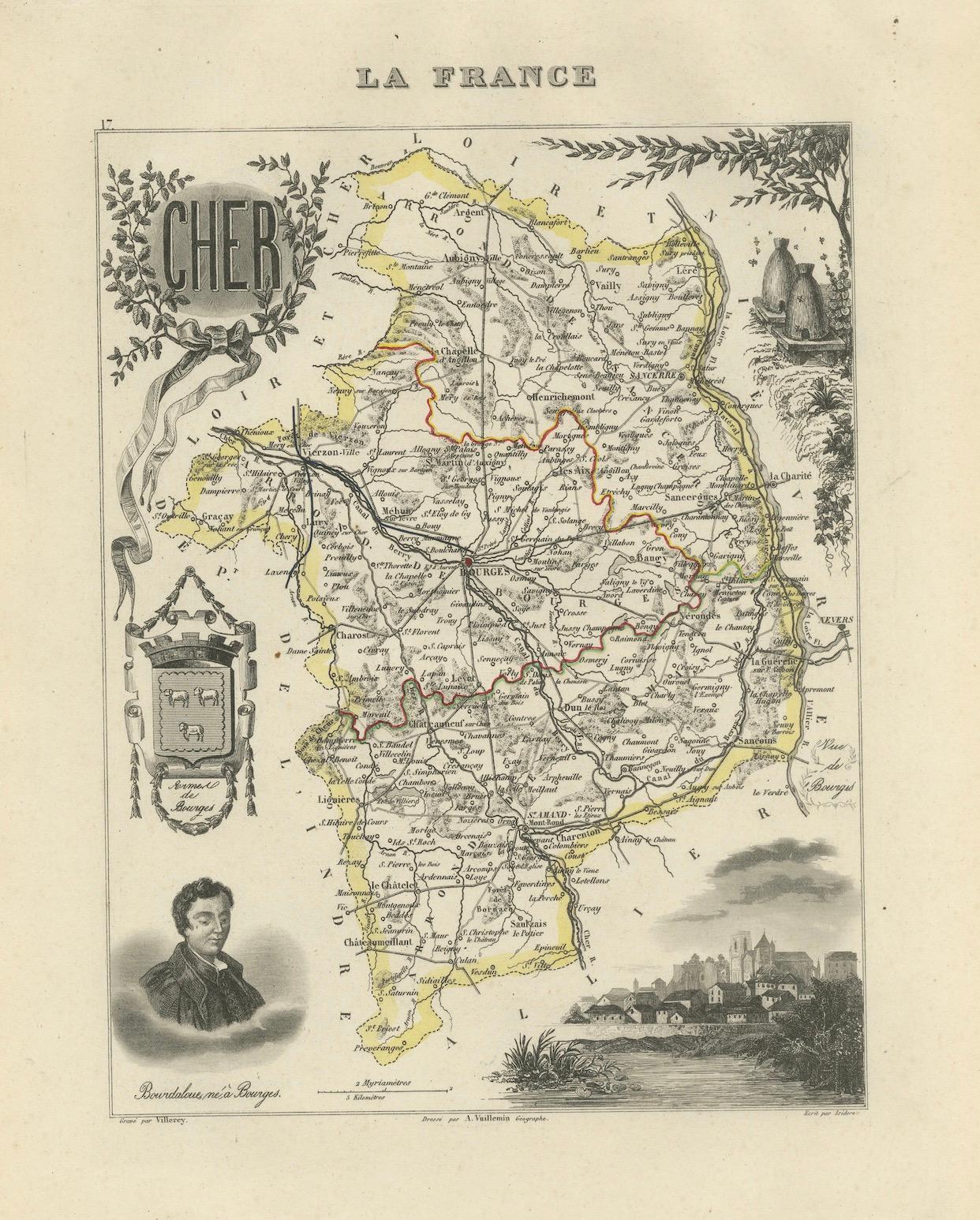
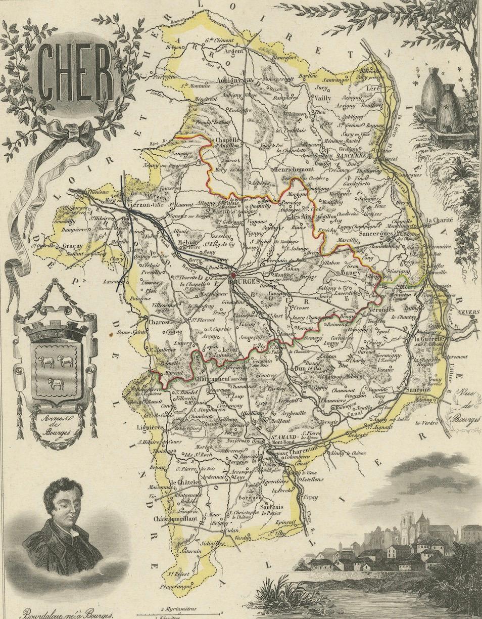
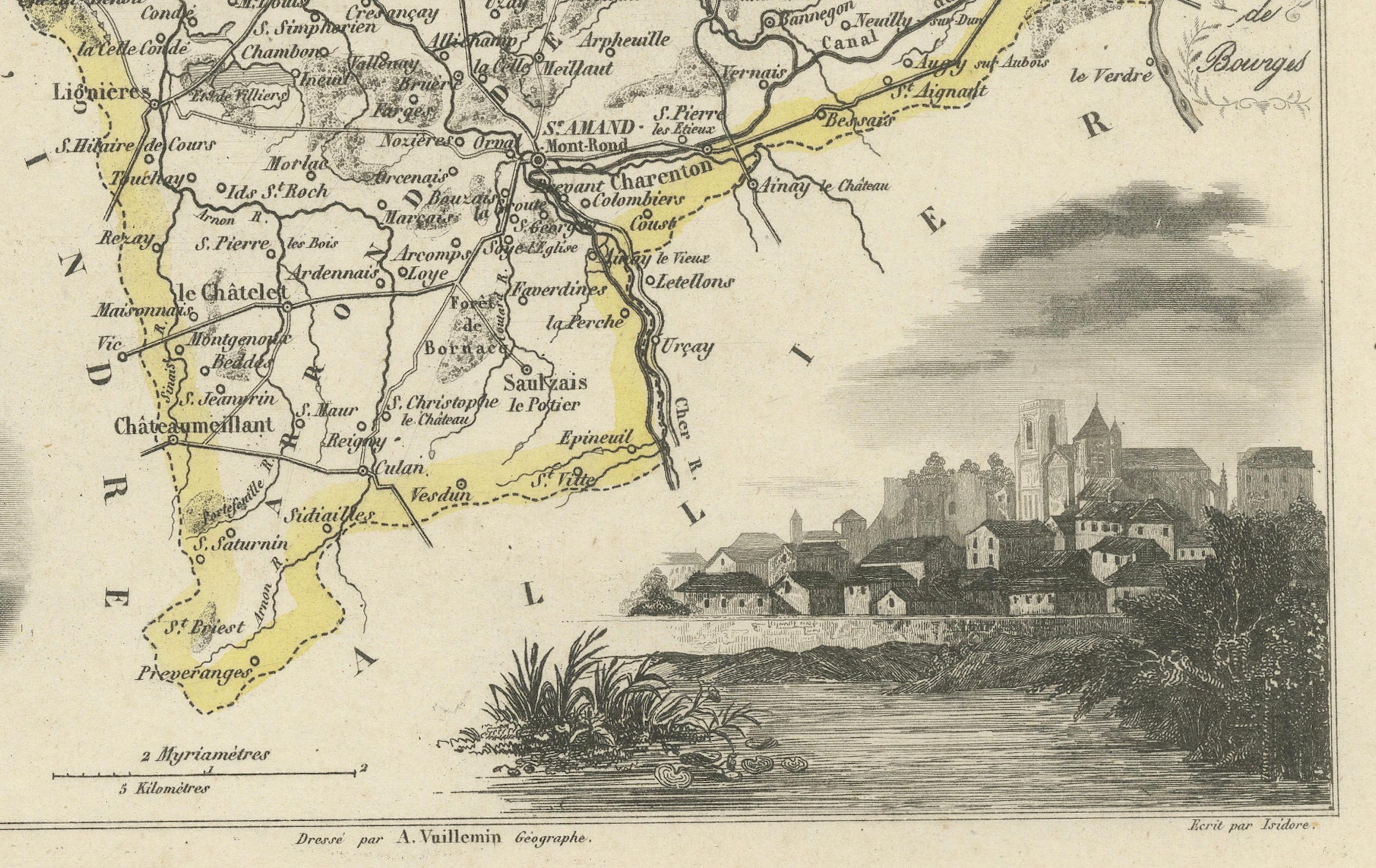
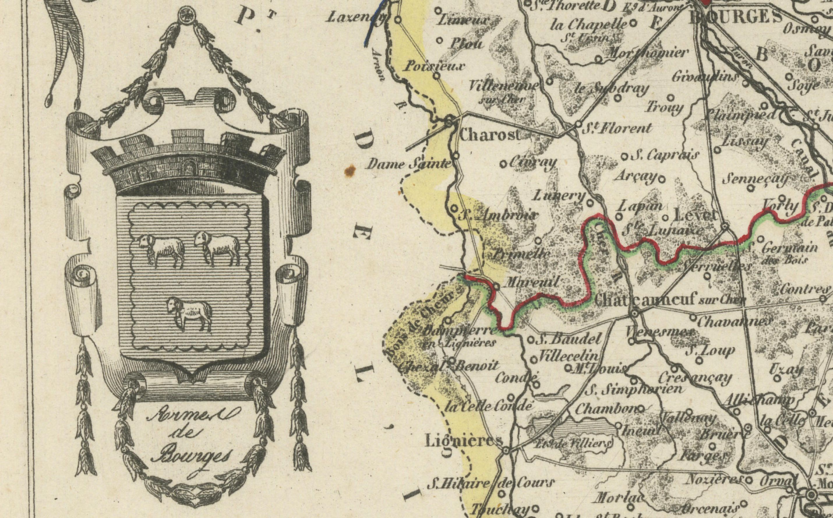
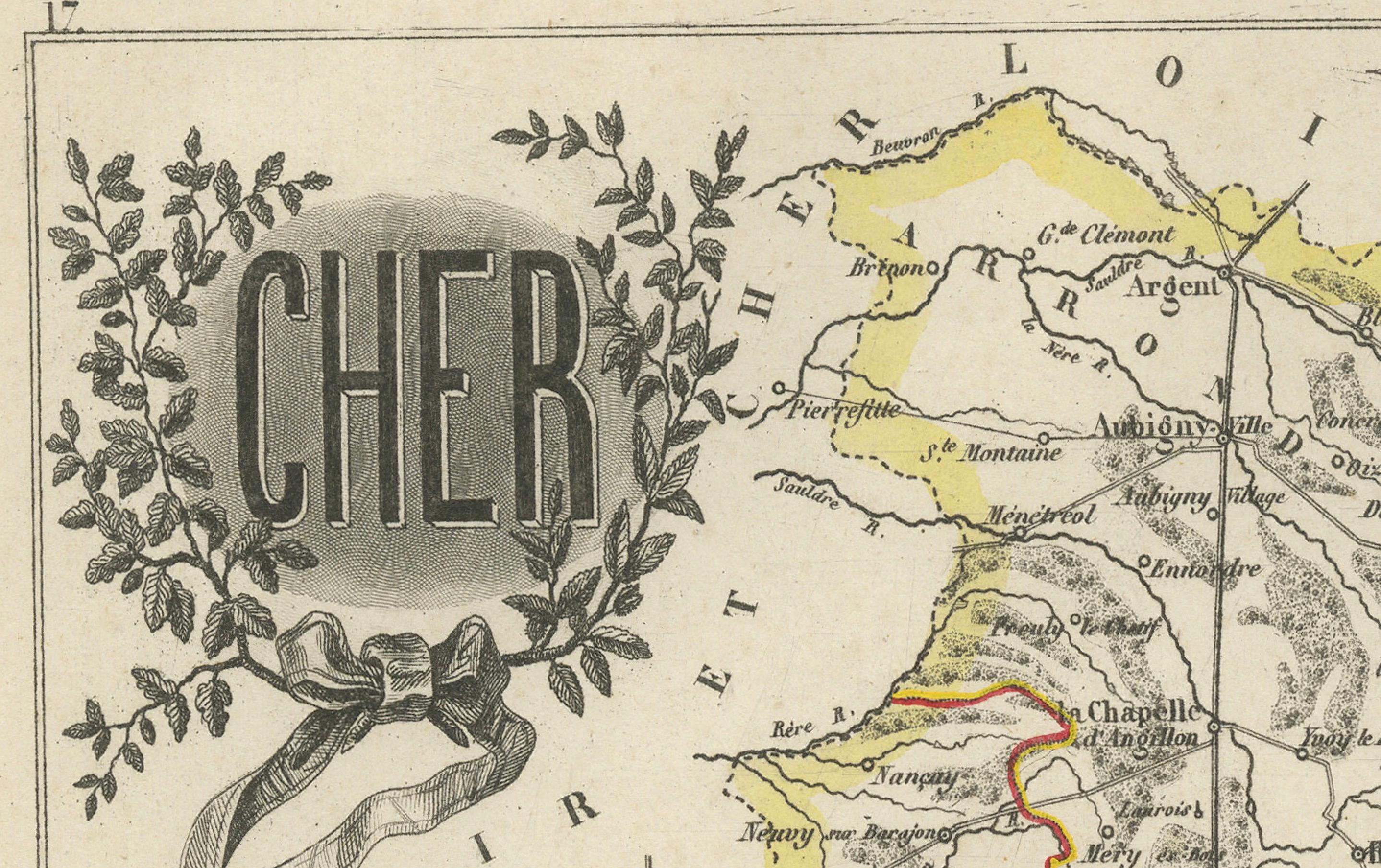
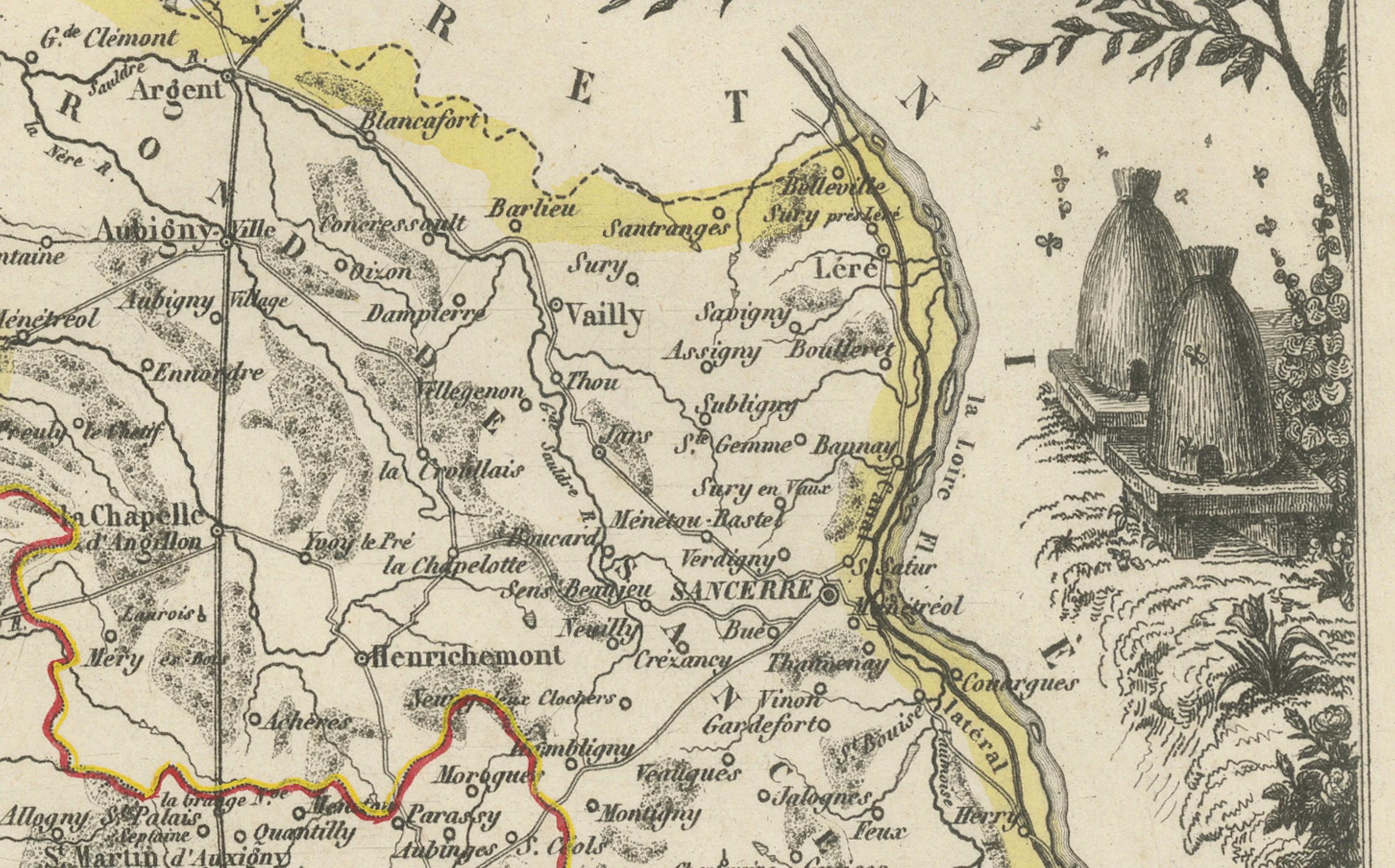
This decorative 19th-century map of the former department of Charente-Inférieure, now known as Charente-Maritime, was published in Paris by Migeon as part of the *Nouvel Atlas Illustré* and drawn by Alexandre Vuillemin. The map combines precise geographic rendering with visual storytelling, capturing the essence of France’s Atlantic coast during the mid-1800s.
Hand-colored in soft pink along the departmental borders, the map includes all major towns and transport routes, with La Rochelle and Rochefort prominently featured. The Atlantic coastline, river systems, and offshore islands such as Île de Ré and Île d’Oléron are clearly indicated. These elements emphasize the maritime identity of the region, historically shaped by naval, commercial, and fishing activity.
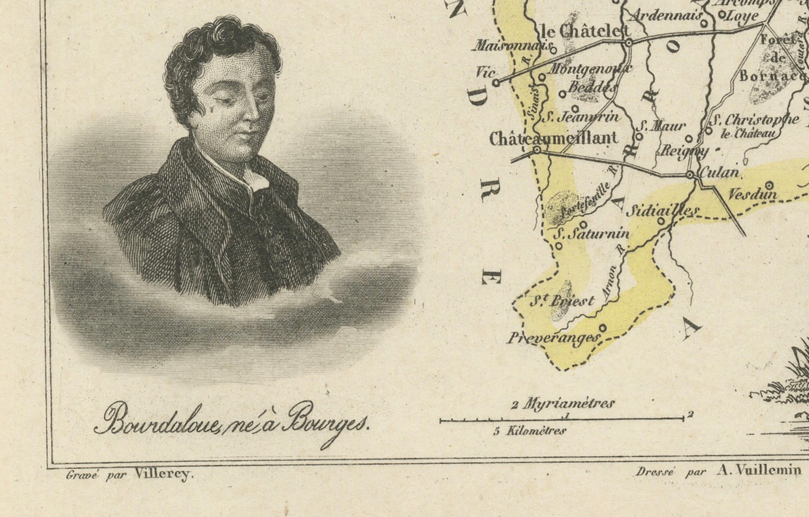
In the lower portion of the sheet is an engraved view of the fortified port city of La Rochelle, its harbor marked by towers and stone quays. At the top right, dockworkers are shown with a large anchor and chains, illustrating Rochefort’s role as an important naval base and shipyard during the Ancien Régime and Napoleonic era. On the right side is a portrait of de Ratzau, likely referring to the marquis who played a role in 17th-century military affairs in the region.
Charente-Maritime is also known for its viticulture, particularly its contribution to the Cognac region. Vineyards near Saintes and Jonzac form part of the outer areas of Cognac production. Additionally, the region is famous for its Pineau des Charentes, a sweet fortified wine blending grape must and Cognac. These coastal vineyards thrive in a maritime climate, producing grapes with distinctive character.
Beyond wine, the region is also celebrated for salt marshes, oysters from Marennes-Oléron, and a strong seafaring heritage. This map is an elegant tribute to a historically rich region whose legacy blends land, sea, and cultural depth.
Condition summary:
Very good antique condition. Light age toning and minor scattered foxing, mostly near the margins. Engraved lines are clear and the original hand coloring is well preserved.
Framing tips:
Pair this map with a light wood or brushed silver frame to echo the maritime setting. Use a pale blue or cream mat to complement the coastal theme and pastel borders. UV-protective glass is recommended for display and preservation.