About this sheet
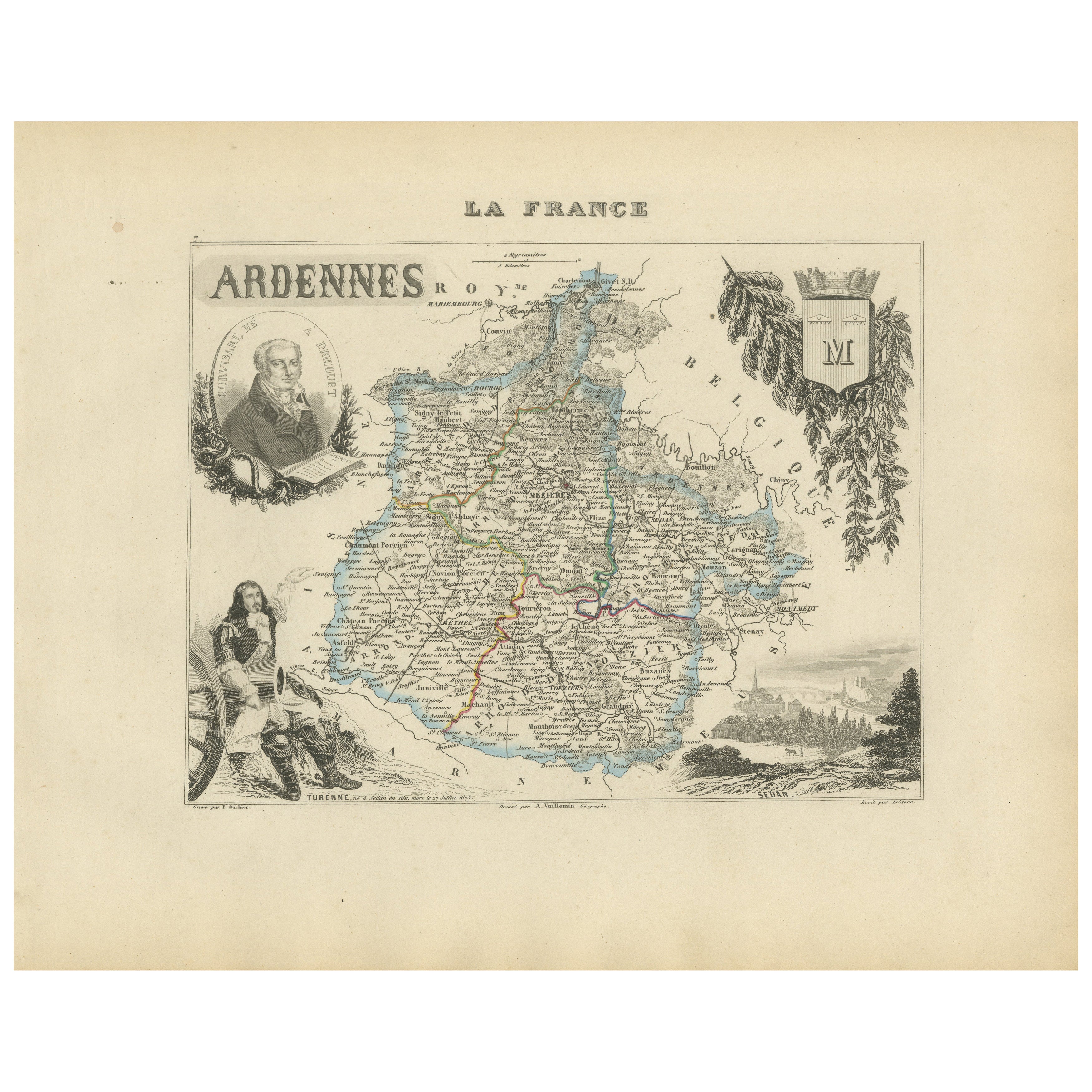
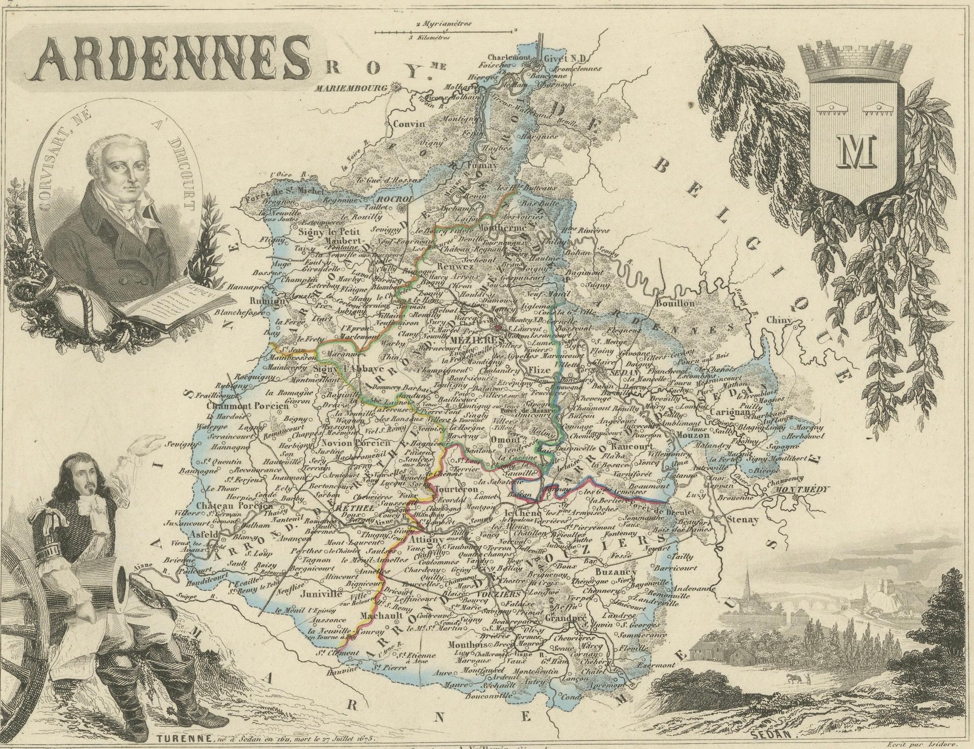
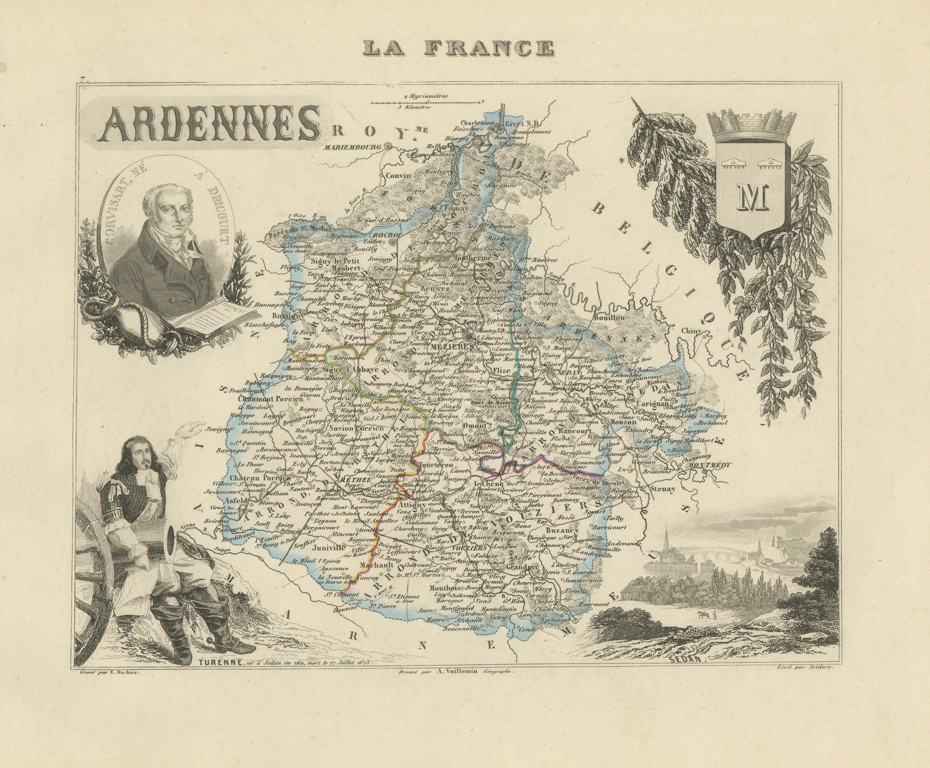
Map of Ardennes France with Sedan and Military History by Vuillemin, 19th c
This detailed and decorative 19th-century map of the Ardennes department in northeastern France was created by the renowned French cartographer Alexandre Vuillemin and published by Migeon in Paris. It is part of the celebrated Nouvel Atlas Illustré, a richly engraved and hand-colored series that combined geographic accuracy with cultural and historical depth.
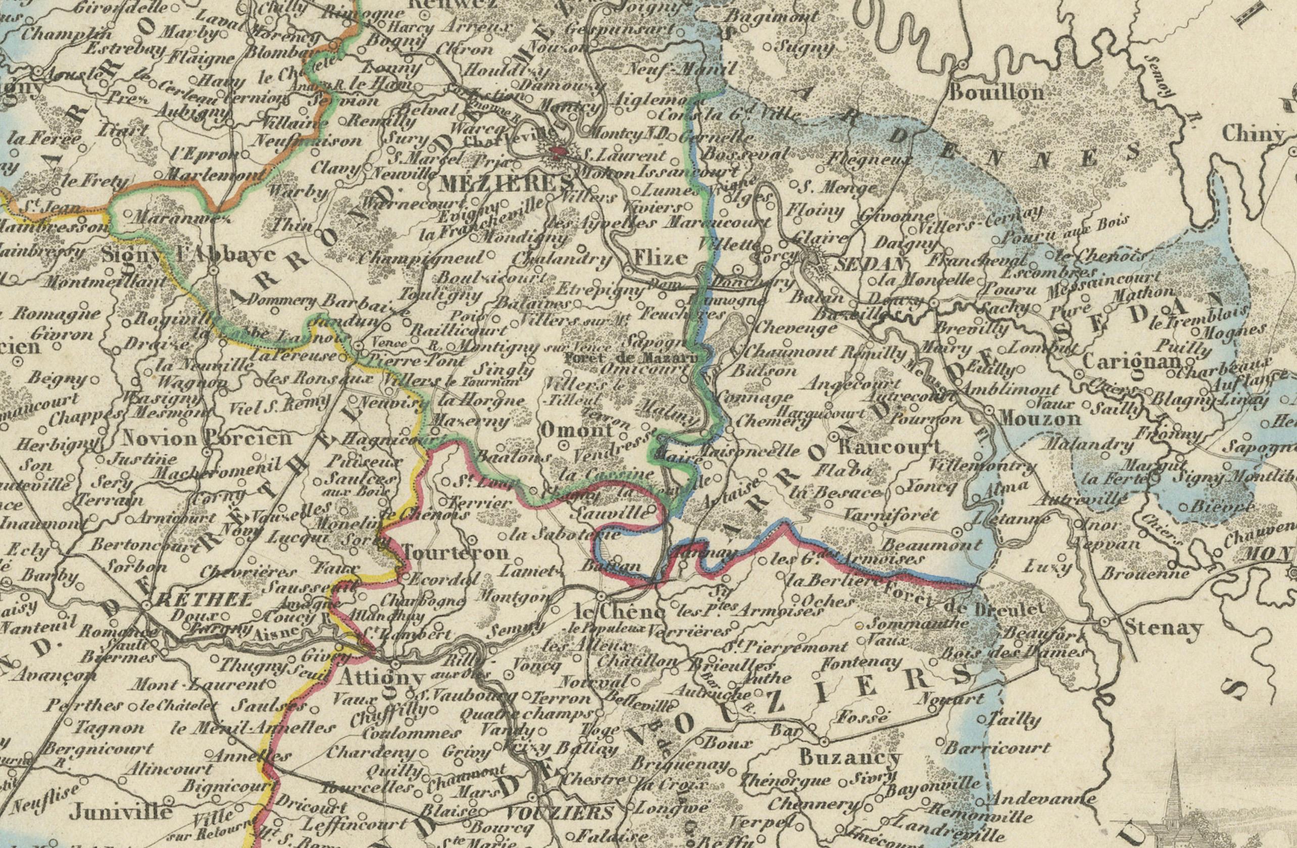
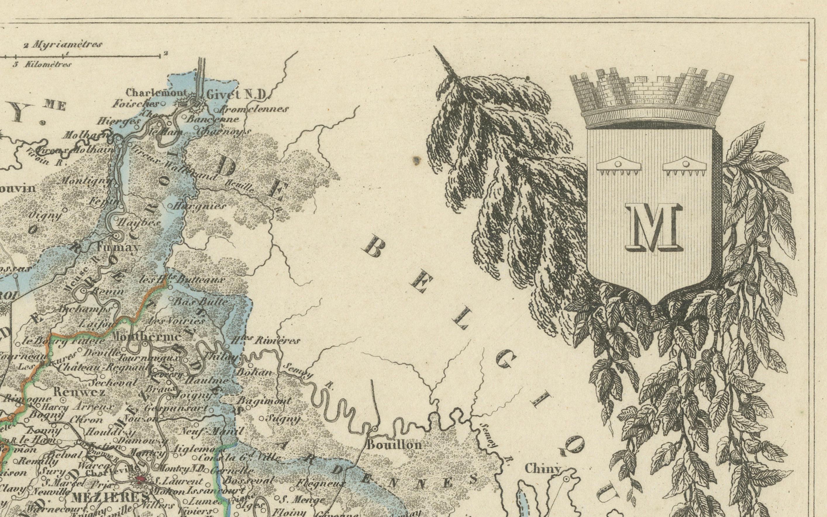
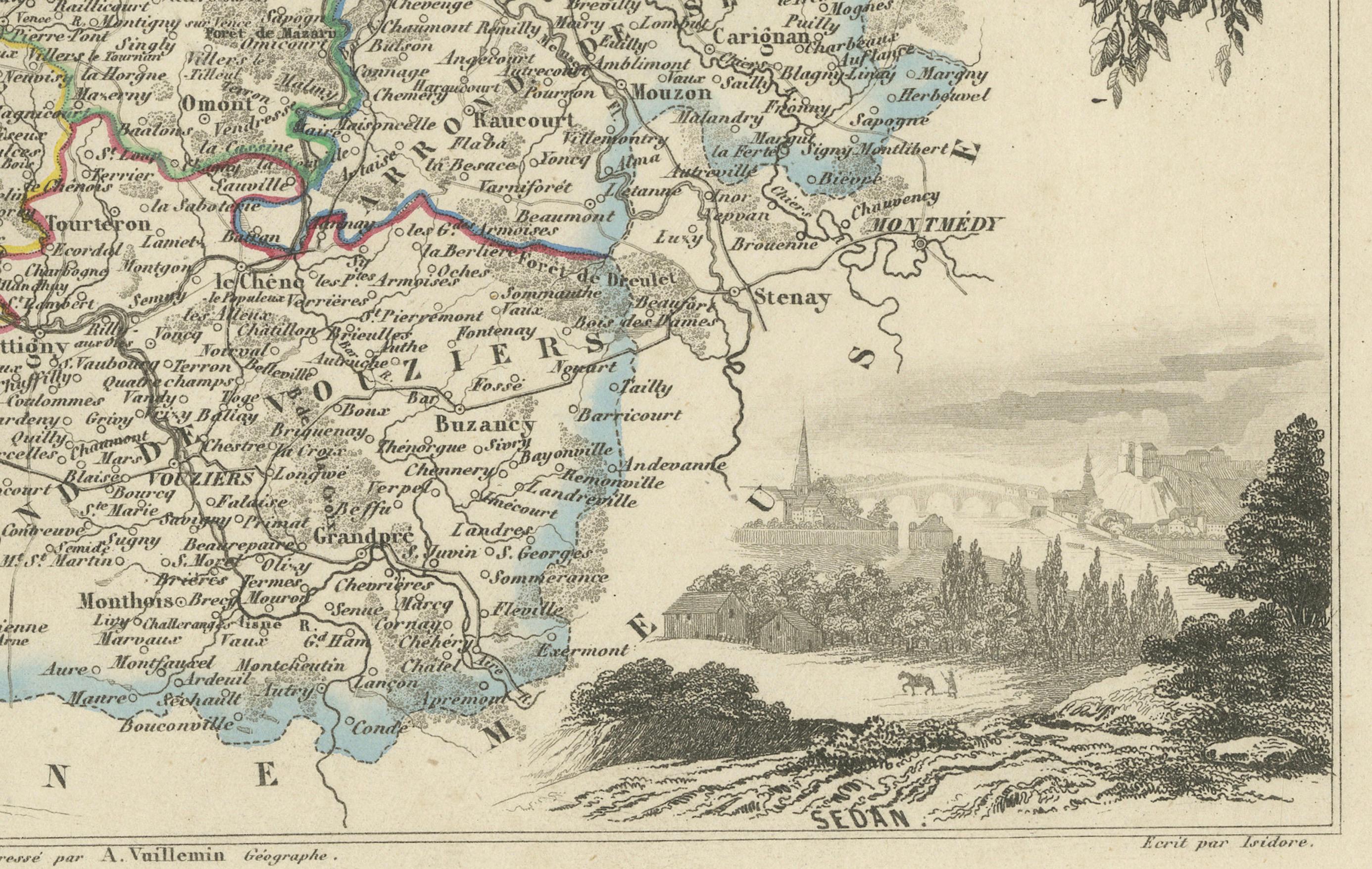
The map highlights the Ardennes region with fine clarity, showing its towns, rivers, roads, and borders in hand-colored detail. The engraved lines are sharp, and the pastel coloring of the department’s boundary enhances the visual appeal. The surrounding vignettes are especially evocative of the region’s long military and scientific legacy.
In the upper left, we see a portrait of Dominique François Jean Arago, a prominent physicist, astronomer, and politician born in the region. He holds a chart referencing his contributions to science, including early work in optics and magnetism. Below Arago is a figure of Marshal Turenne, one of France’s greatest military commanders of the 17th century, depicted with cannon and battlefield attire, linking the Ardennes with its strategic military past. On the right, the coat of arms is framed by oak and laurel branches, symbols of strength and honor, and at the bottom right is a tranquil vignette of Sedan, a town famous for its fortress and its role in numerous historical conflicts, including the Franco-Prussian War.
Geographically, Ardennes is known for its dense forests, rolling hills, and rivers, which have shaped both its economy and strategic significance. Though not a major wine-producing area, the region’s agricultural tradition is robust, and it is known for local specialties such as cider, game, charcuterie, and cheeses.
Alexandre Vuillemin was a prominent 19th-century cartographer whose work is prized for its combination of technical accuracy and aesthetic refinement. His publisher, Migeon, produced some of the most beautifully illustrated atlases of the time, blending geography, biography, and regional character.
Condition summary:
Very good condition with some mild toning and a few scattered foxing spots, mostly in the margins. The engraving remains crisp and the original hand coloring is clear and attractive.
Framing tips:
A dark walnut or black frame will bring out the contrast in the engraved details. A light cream or grey mat will complement the tones of the map while giving emphasis to the hand-colored boundaries. UV-filtering glass is recommended for protection.