About this sheet
Decorative Map of Meuse Department, France – Vuillemin, c. 1850
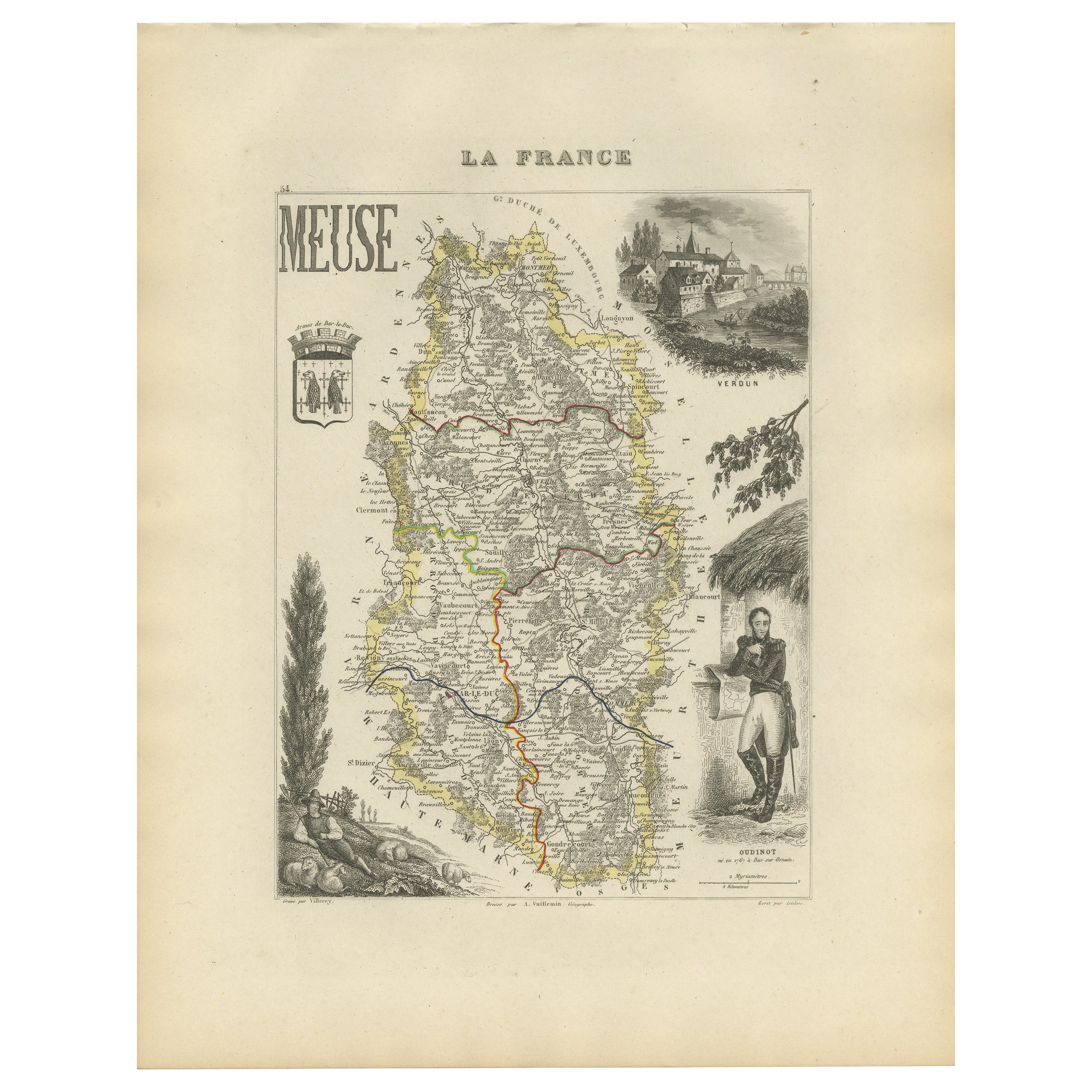
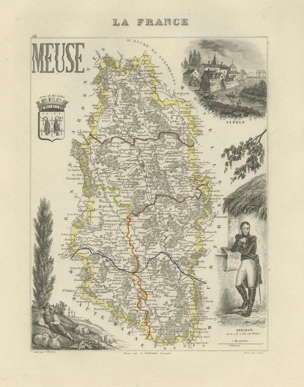
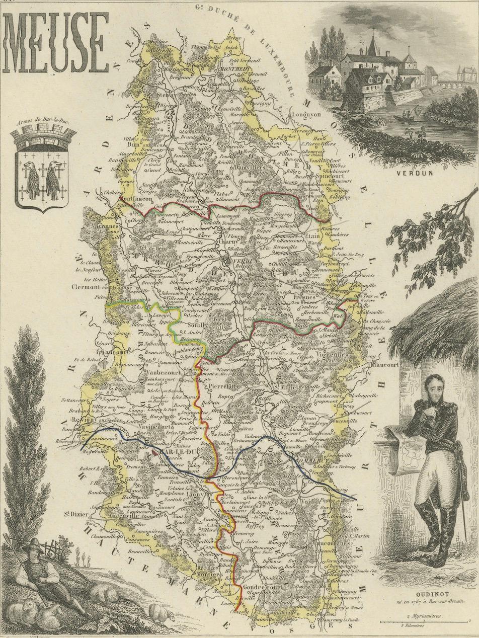
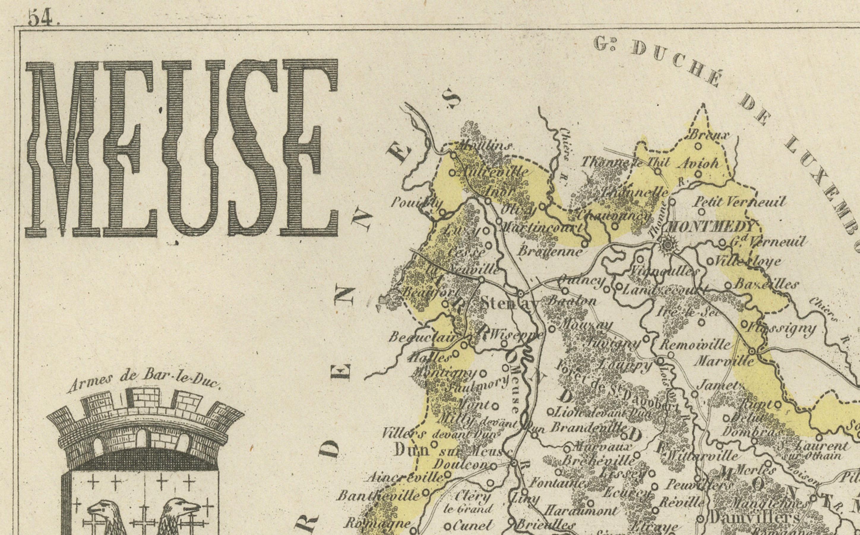
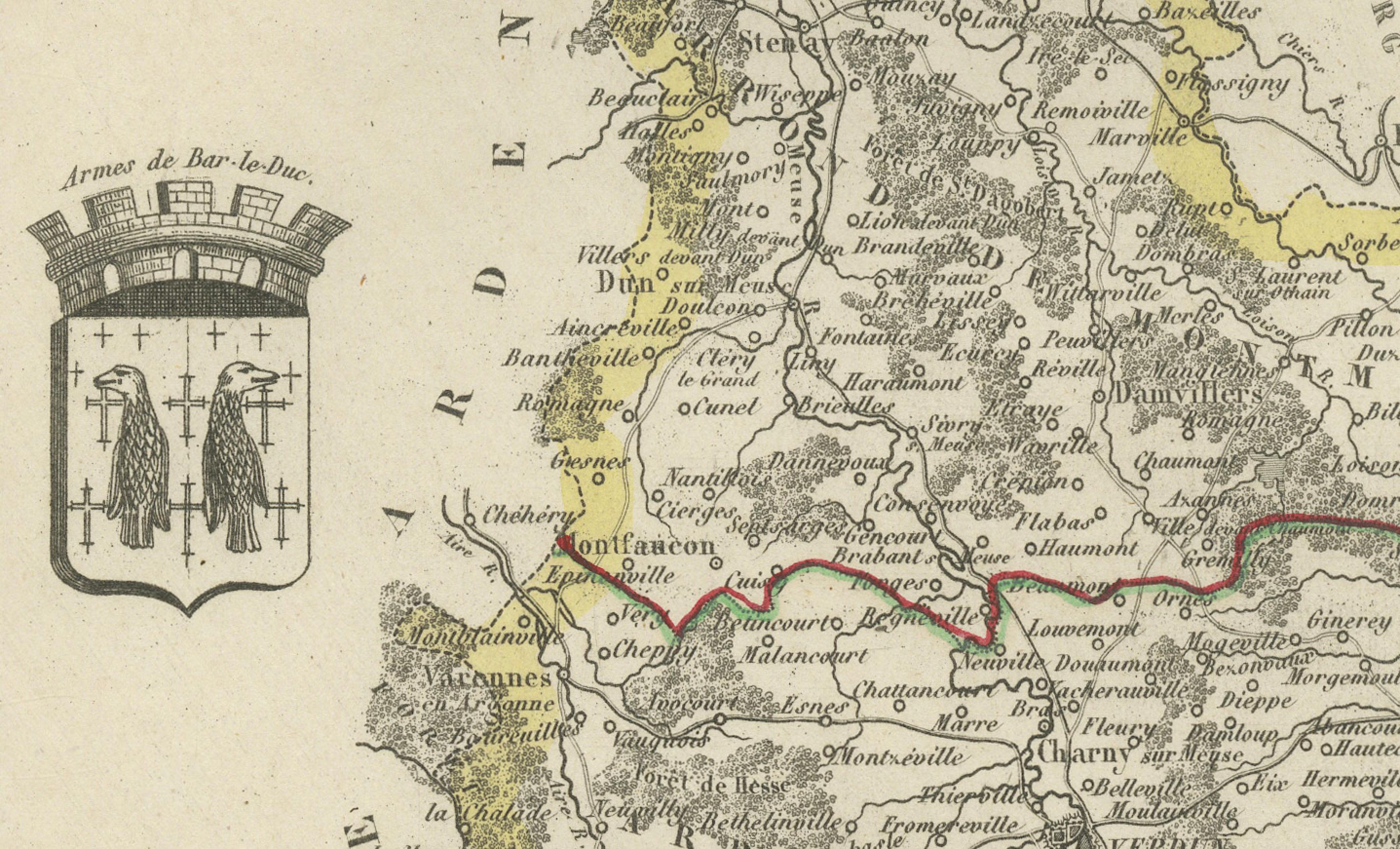
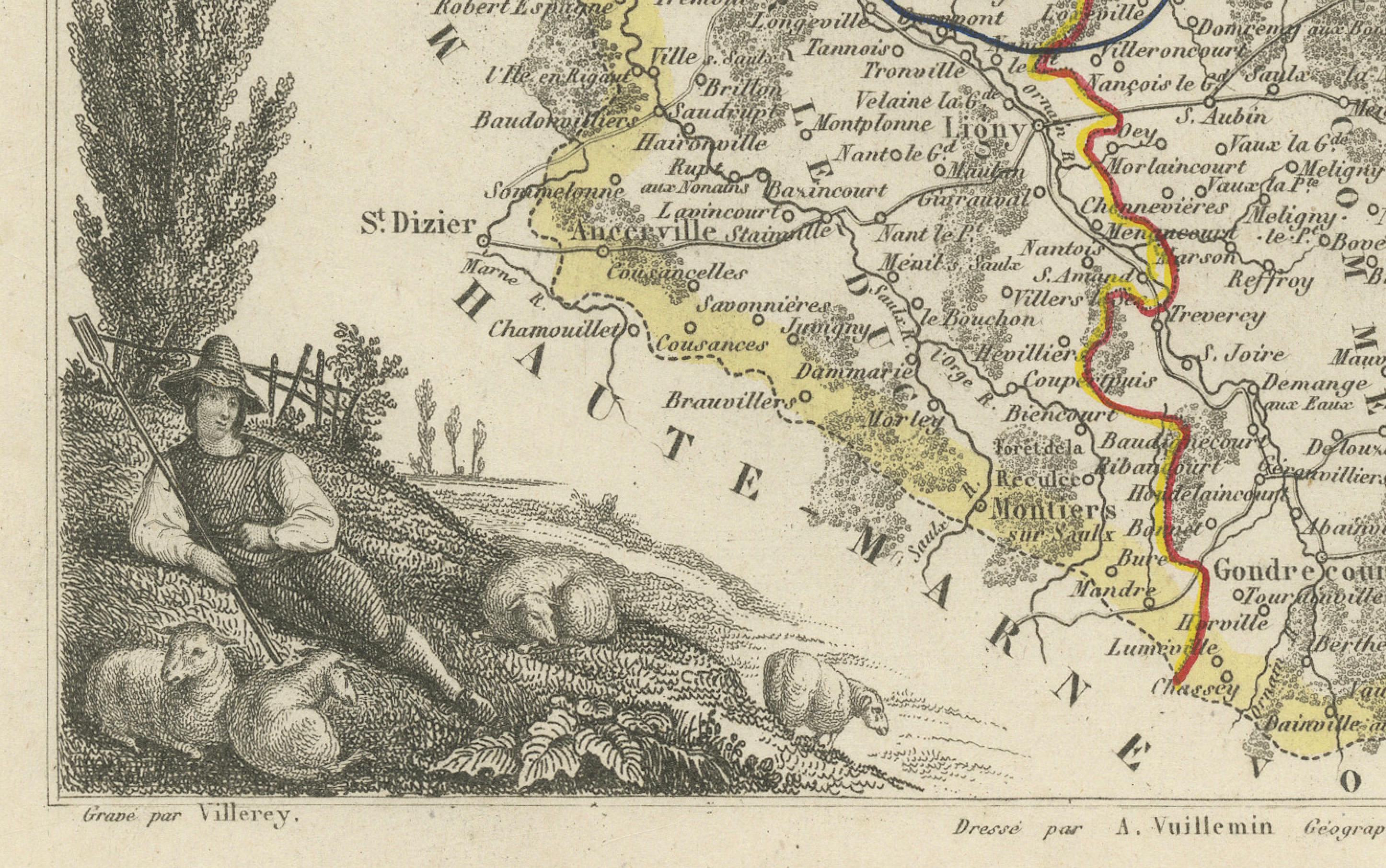
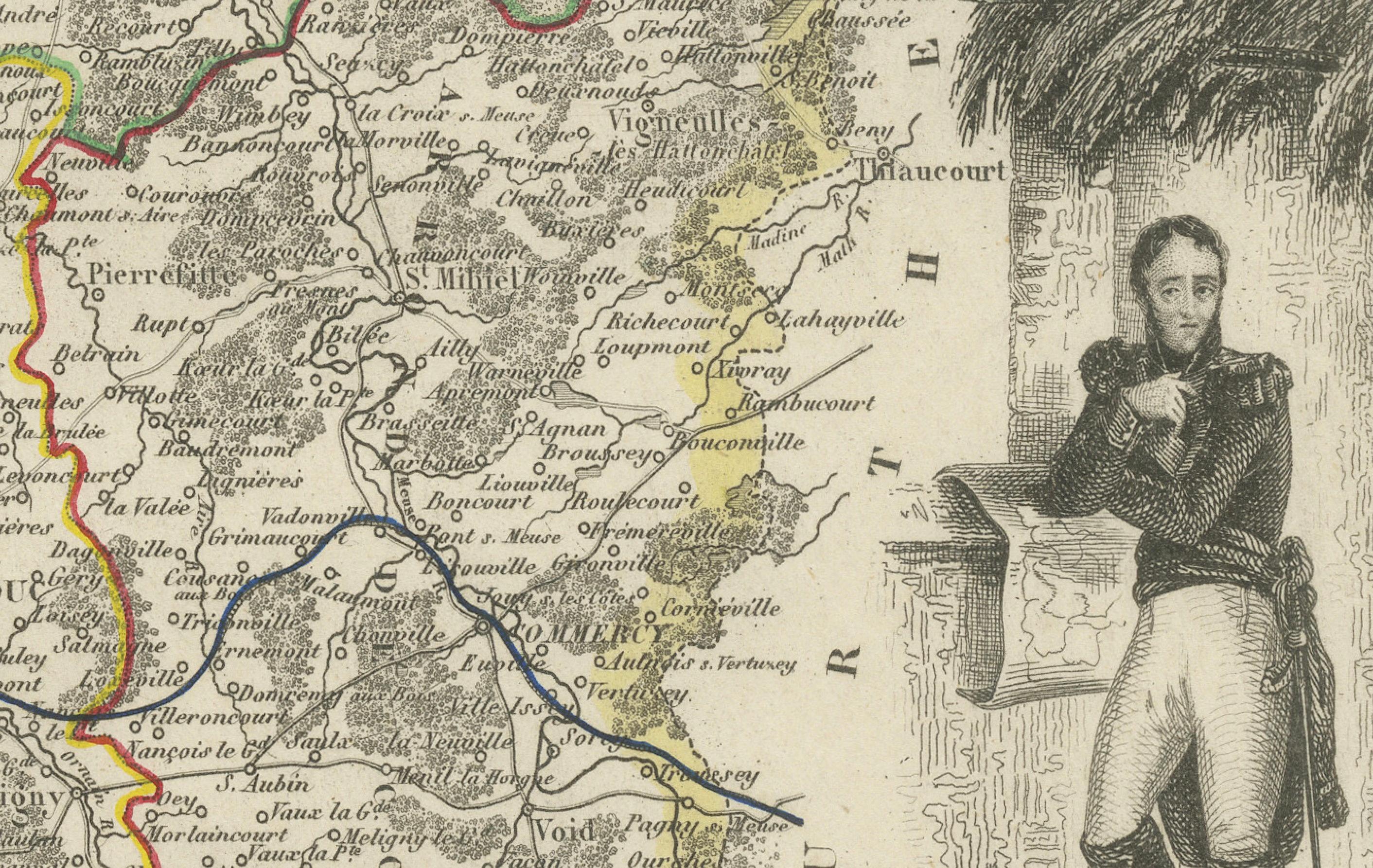
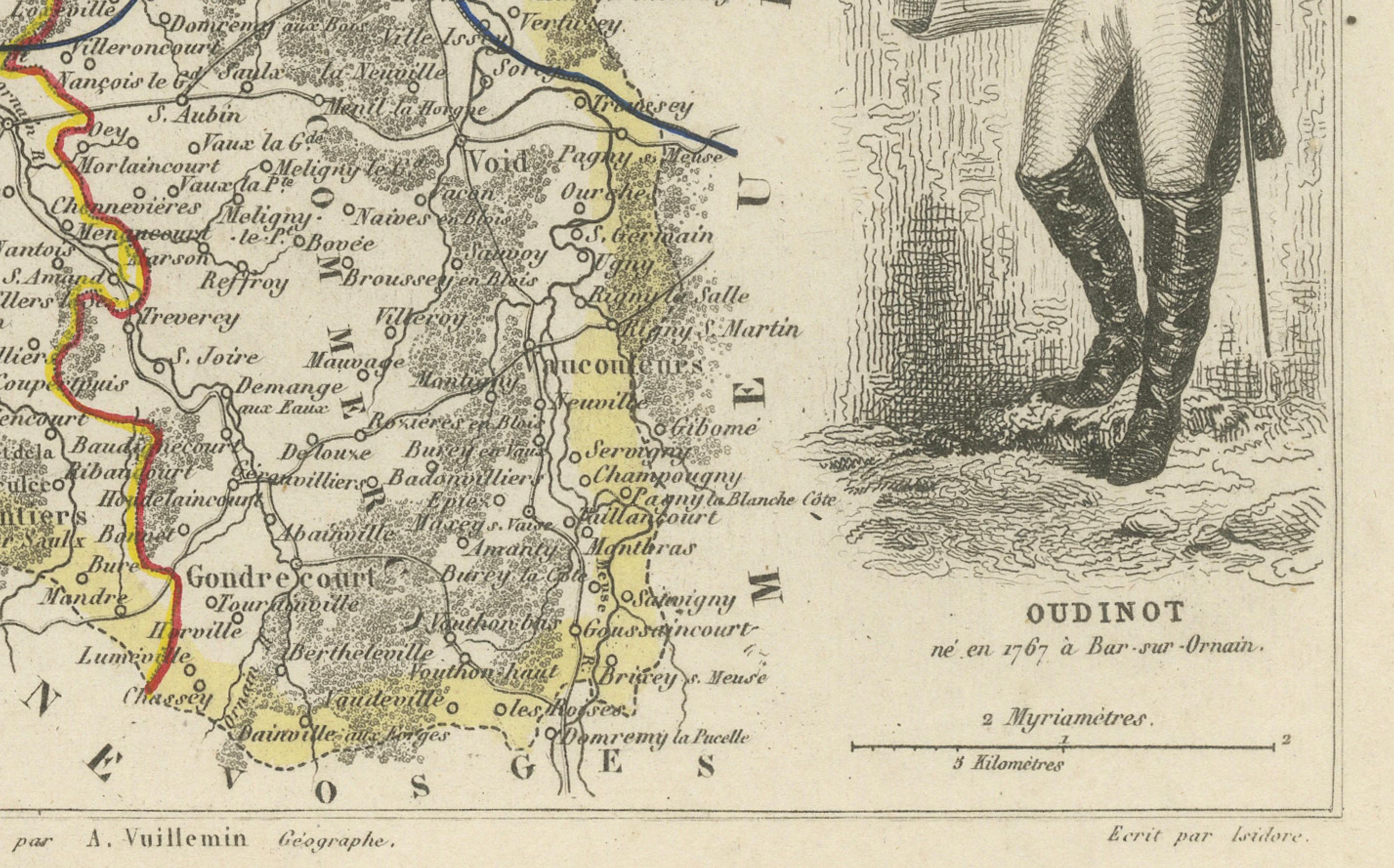
A beautifully engraved 19th-century map of the Meuse department in northeastern France, drawn by Alexandre Vuillemin and embellished with fine steel-engraved vignettes. Originally published in Paris circa 1850, this map forms part of the richly illustrated series La France, which combined geographic accuracy with romanticized depictions of regional culture and history.
The map outlines the departmental boundaries in yellow with neighboring departments faintly shaded, and features detailed topographical information, towns, villages, rivers, and road networks. Colored lines trace the principal arrondissement divisions. The cartography is surrounded by a variety of finely engraved scenes. At top right is a charming rural view of the town of Verdun nestled in the hills, identified in the image as "Vue de Verdun." In the bottom right corner, a striking portrait of Marshal Nicolas-Charles Oudinot is shown in uniform with folded arms, holding a rolled map. Oudinot (1767–1847), born in Bar-le-Duc (located in Meuse), was a Marshal of the Empire under Napoleon and later became the Grand Chancellor of the Legion of Honour. His military legacy adds historical weight to the depiction of this department.
Also included are decorative rural elements like a peasant figure reclining near a poplar tree and a coat of arms showing the symbols of the region. The map was engraved by Laguillermie and printed by the Parisian firm Lemercier, with illustrations by Vistois.
50 Key Locations Noted on Map:
Bar-le-Duc – historic capital
Verdun – WWI fortress city
Commercy – origin of madeleines
Saint-Mihiel – Benedictine abbey town
Montmédy – fortified citadel
Ligny-en-Barrois – spa town
Revigny-sur-Ornain – river crossing
Étain – industrial heritage
Vaucouleurs – Jeanne d’Arc location
Clermont-en-Argonne – forested commune
Gondrecourt – military training zone
Stenay – beer museum
Souilly – WWI HQ location
Dieue-sur-Meuse – river village
Troyon – known for ceramics
Vigneulles-lès-Hattonchâtel – butte-top town
Damvillers – near Verdun front
Pierrefitte-sur-Aire – Aire valley
Ligny – southern Meuse town
Sorcy-Saint-Martin – iron mining past
Sampigny – historic château
Saint-Aubin-sur-Aire – scenic valley
Charny-sur-Meuse – strategic bridgehead
Brabant-le-Roi – village near Marne
Vaubecourt – agricultural community
Fains-Véel – near Bar-le-Duc
Naives-Rosières – rural commune
Lisle-en-Barrois – woodlands
Seuil-d’Argonne – hunting forests
Tronville-en-Barrois – canal junction
Rembercourt – WWI logistics
Belrain – highland commune
Raival – pastoral area
Beurey-sur-Saulx – river crossing
Gercourt – battle site
Marre – west of Verdun
Vacherauville – Meuse village
Senoncourt – plateau village
Érize-la-Petite – Barrois hills
Lavallée – isolated rural commune
Levoncourt – near Luxembourg
Beaulieu-en-Argonne – panoramic ridge
Rupt-en-Woëvre – in the Woëvre plain
Brieulles-sur-Meuse – Meuse-side town
Lérouville – quarrying
Pagny-sur-Meuse – transport hub
Heippes – old Roman road
Villers-sur-Meuse – canals
Loison – iron region
Benoîtville – scattered farms
Condition report
Very good condition overall. Strong imprint with delicate hand-coloring of boundaries. Some minor toning and faint foxing to outer margins, typical for the period. No tears or major defects.
Framing tips
This map displays beautifully in a classic wooden frame with a light ivory mat or pale yellow inner border to match the department outline. Consider a double mat for added depth, especially with antique walnut or black-and-gold frames to accent the engravings.
Technique: Steel engraving with original hand color
Maker: Alexandre Vuillemin, Paris, circa 1850