About this sheet
Antique Map of Morbihan by Vuillemin – France Département Map c.1850
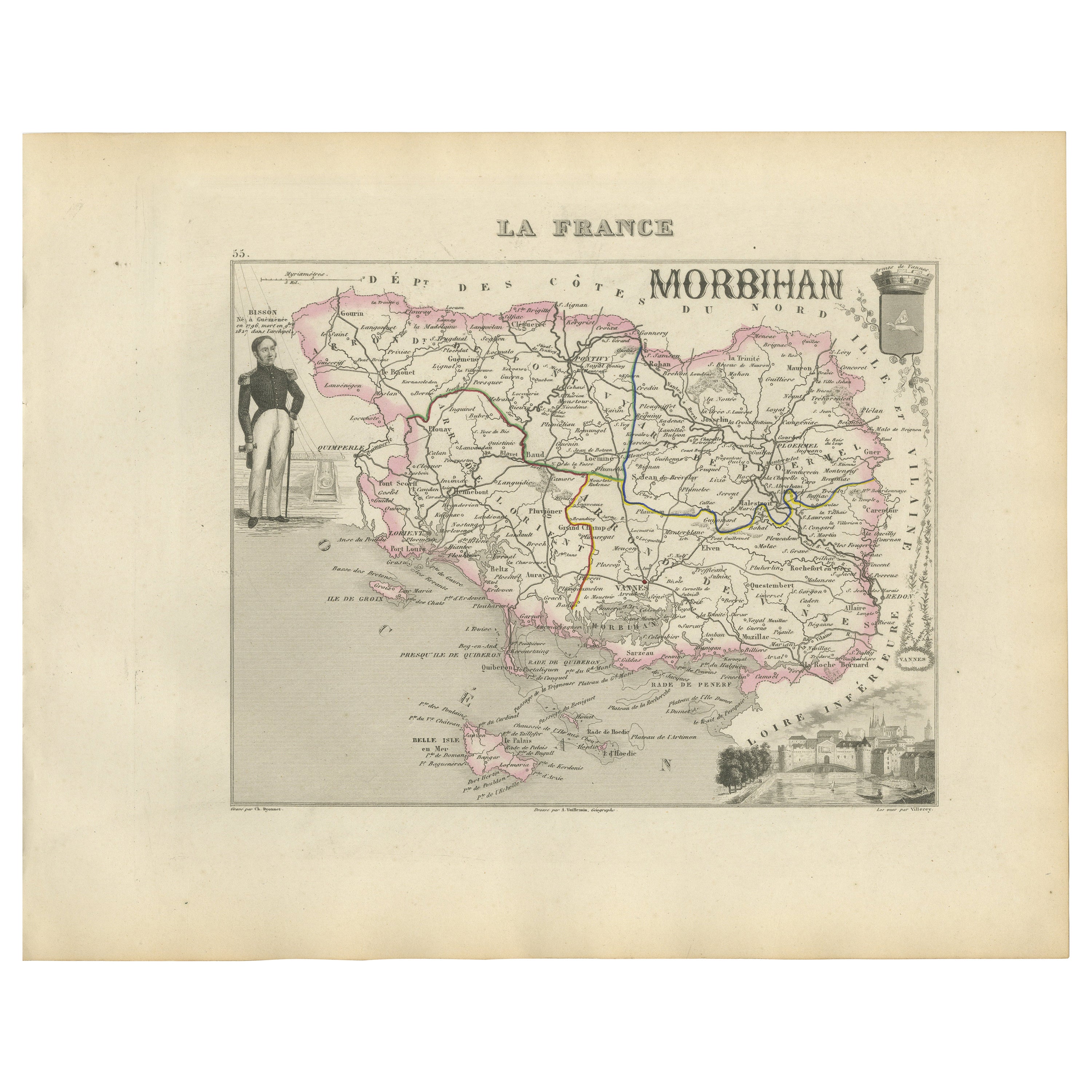
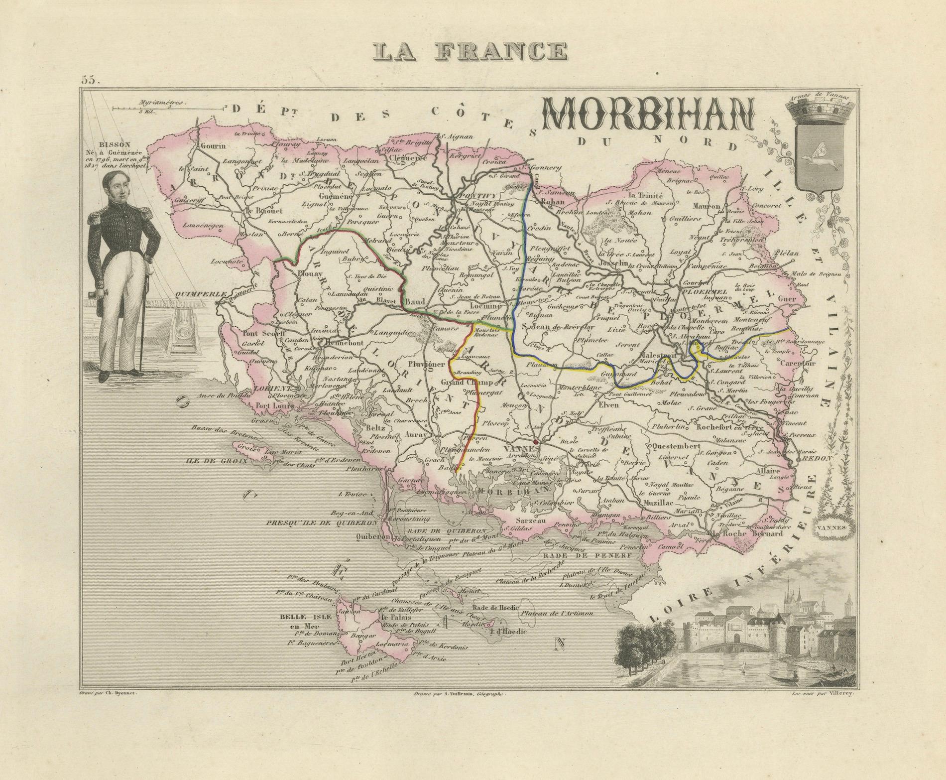
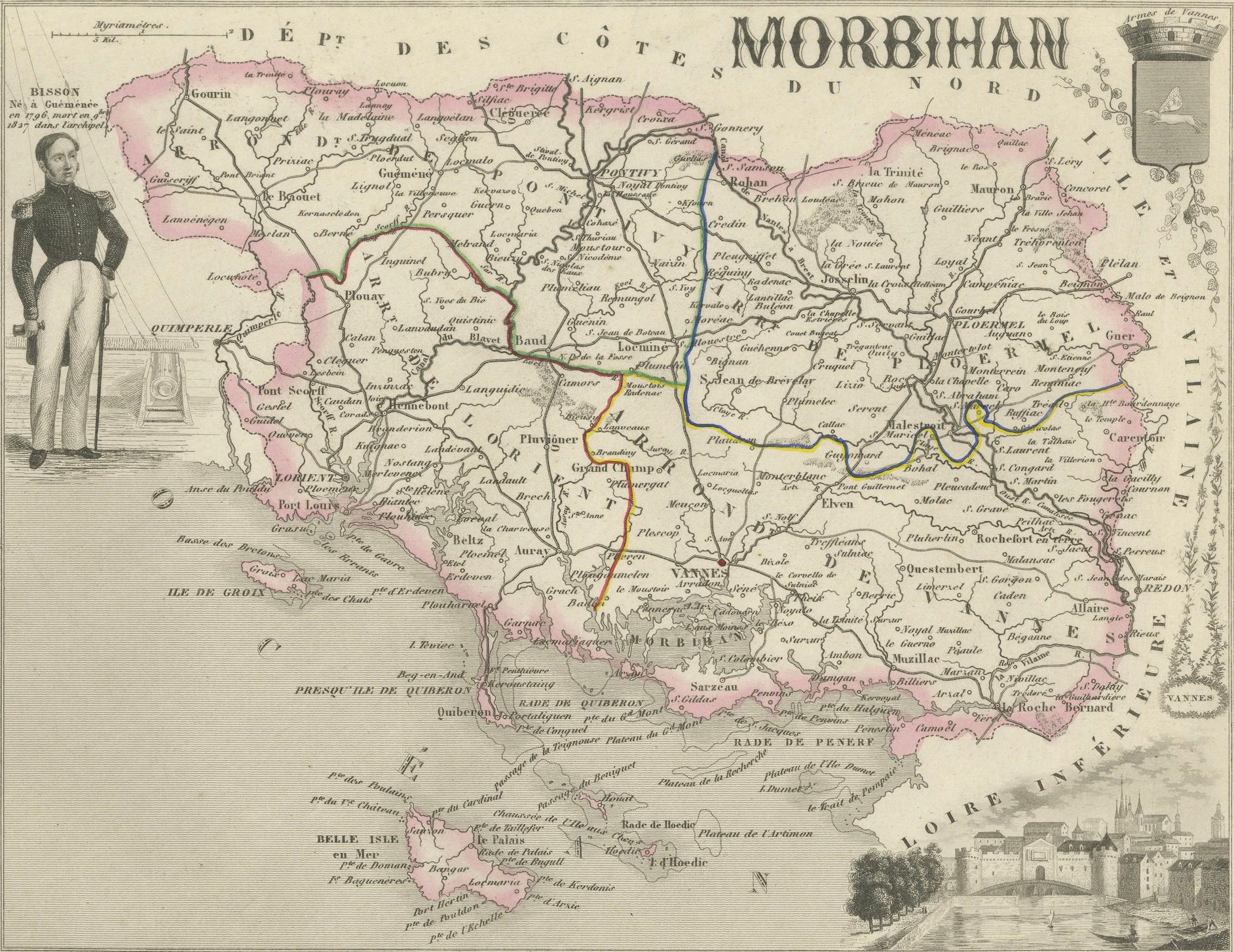
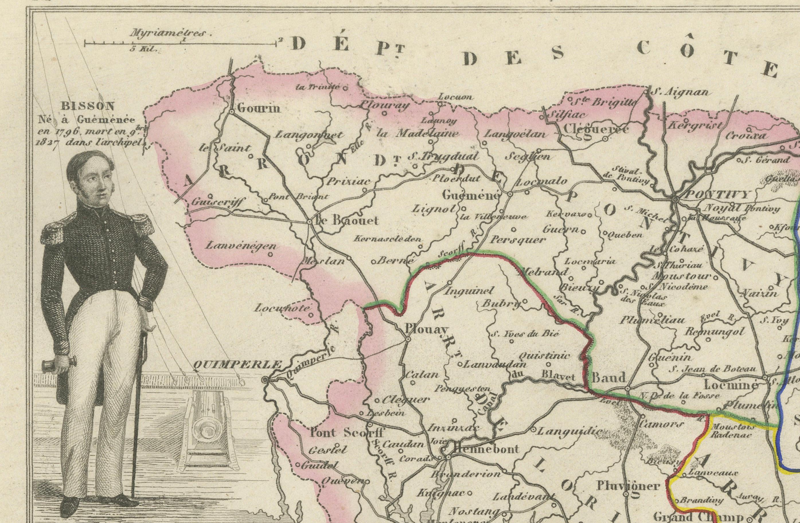
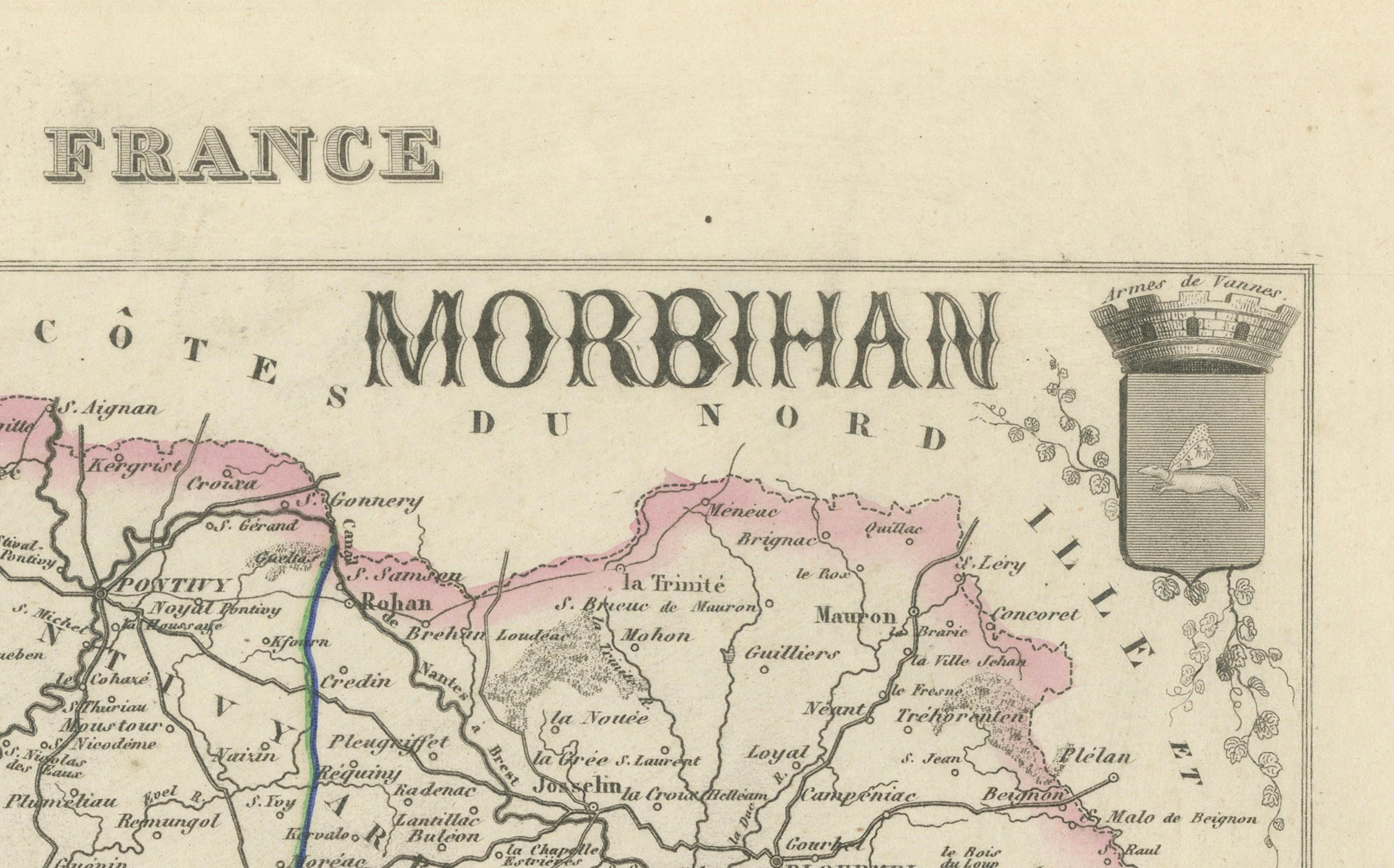
This finely engraved and delicately hand-colored map of the département of Morbihan in Brittany, France, was published around 1850 by Alexandre Vuillemin. It forms part of his acclaimed decorative atlas *La France Illustrée*, celebrated for its rich blend of cartographic detail and artistic embellishments.
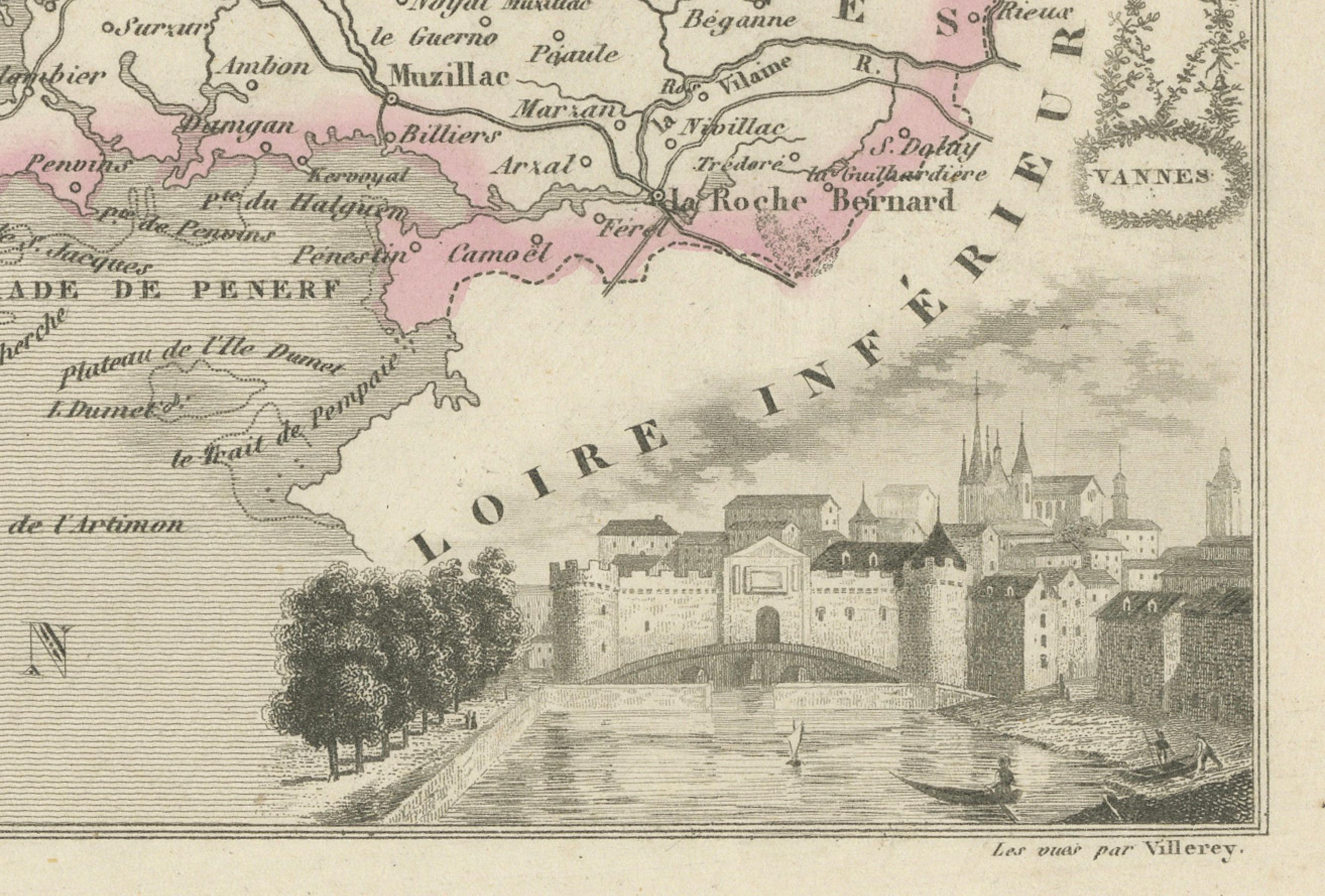
The map highlights the roadways, rivers, and borders of the region, framed by detailed vignettes that showcase local culture, architecture, and historical figures. In the upper corners are a crest of Morbihan and a figure of Bisson, officer of the artillery, commemorating military achievement. At the bottom, a coastal vignette shows the port city of Vannes, anchoring the department’s maritime heritage.
The territory of Morbihan is bordered in pink, with surrounding departments finely delineated. The rivers and key roads are traced in blue, red, green, and yellow, enhancing the topographical clarity. Named after the “little sea” (Mor-Bihan in Breton), the department is famous for its coastal character and prehistoric legacy.
Fifty notable places are labeled across the map, offering a layered narrative of the region’s culture and significance:
1. **Vannes** – Historic capital, Roman origins
2. **Auray** – Medieval port town, battle of 1364
3. **Carnac** – Prehistoric megaliths
4. **Lorient** – Naval base, colonial trade port
5. **Hennebont** – Fortified medieval town
6. **Pontivy** – Napoleonic urban plan
7. **Quiberon** – Coastal peninsula, royalist uprising site
8. **Josselin** – Château and canal crossroads
9. **Plouay** – Known for cycling competitions
10. **Ploërmel** – Religious heritage, astronomical clock
11. **Locminé** – Former monastic center
12. **Baud** – Rural crossroads
13. **La Trinité-sur-Mer** – Sailing and regattas
14. **Belle-Île-en-Mer** – Largest Breton island
15. **Guer** – Site of Coëtquidan military academy
16. **Le Faouët** – Historic market town
17. **Questembert** – Timber market hall
18. **Riantec** – Coastal village
19. **Sarzeau** – Presqu’île de Rhuys seat
20. **Erdeven** – Beaches and dolmens
21. **Sérent** – Inland agricultural hub
22. **Arzon** – Southernmost commune, Port-Navalo
23. **Ploemeur** – Adjacent to Lorient, aeronautic ties
24. **Landaul** – River town
25. **Caudan** – Lorient’s inland buffer
26. **Elven** – Fortified motte
27. **Bubry** – Central commune
28. **Camors** – Forests and legends
29. **Theix** – Access to Gulf of Morbihan
30. **Brandivy** – Rural inland town
31. **Quistinic** – Village de Poul-Fetan museum
32. **Plumelec** – Tour de France stages
33. **Malestroit** – Medieval canal town
34. **Lizio** – Artistic commune
35. **Le Tour-du-Parc** – Oyster farming
36. **La Gacilly** – Arts and photography festivals
37. **Grand-Champ** – Strategic crossroads
38. **Brech** – Site of 1795 Quiberon Expedition
39. **Saint-Gildas-de-Rhuys** – Ancient abbey
40. **Saint-Avé** – Vannes suburb, urbanizing
41. **Pénestin** – Cliffs and oyster parks
42. **Monterblanc** – Inland commune
43. **Caden** – Transition between plains and hills
44. **Lauzach** – Small rural commune
45. **Saint-Nolff** – Near Vannes
46. **Ruffiac** – Border town to Loire-Atlantique
47. **Pleucadeuc** – Known for twin festival
48. **Sérent** – Inland traditions
49. **Molac** – Central crossroads
50. **Saint-Martin-sur-Oust** – Along the canal
Each of these locations contributes to the region’s narrative, whether through historical events, architectural significance, or geographical identity. The Gulf of Morbihan’s intricate inland sea, surrounded by islands, provides a dramatic southern border to the map and reinforces the region’s enduring maritime character.
Condition report: Very good condition. Minor age-toning near the edges. Light foxing in outer margins. Plate mark visible. No tears or repairs.
Framing tips: This decorative map will pair well with a wide ivory or cream mat and a black or dark oak wooden frame. To highlight the hand-coloring, a double mat with an inner line in rose pink or sea blue would echo the coastal hues of the département.
Technique: Engraving with original hand coloring
Maker: Alexandre Vuillemin, Paris, circa 1850