About this sheet
Antique Map of Meurthe by Vuillemin with 50 Notable Places, France c.1850
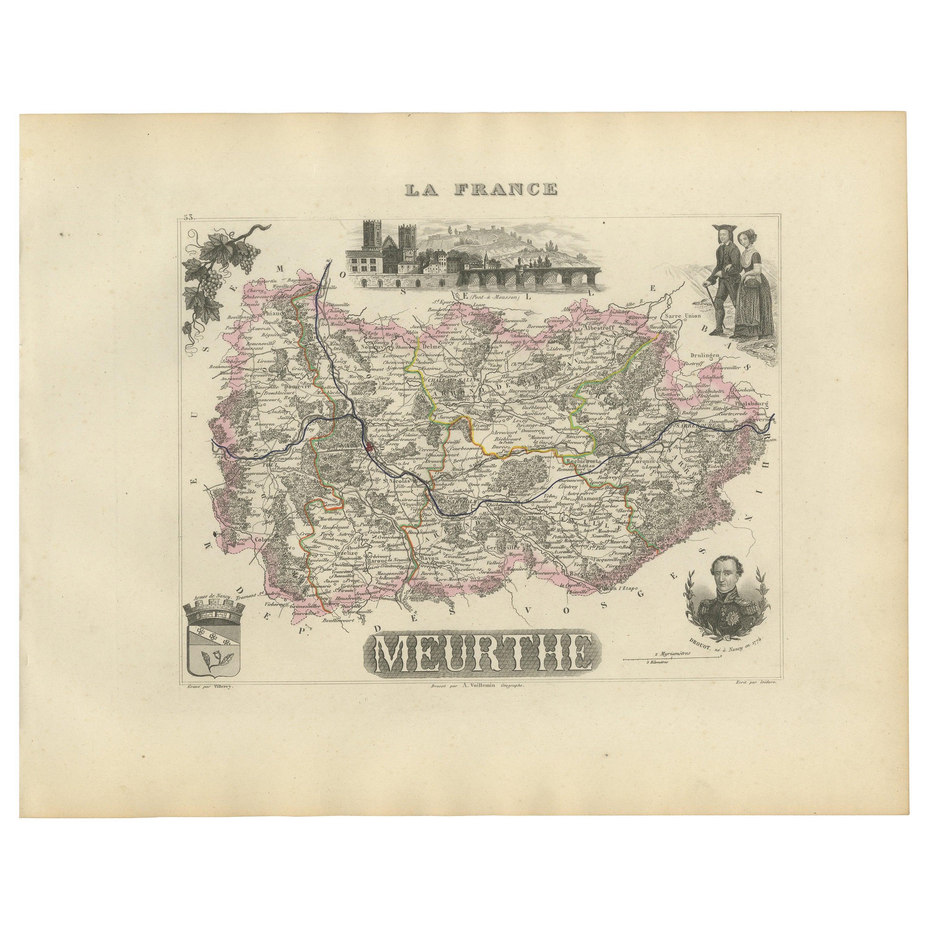
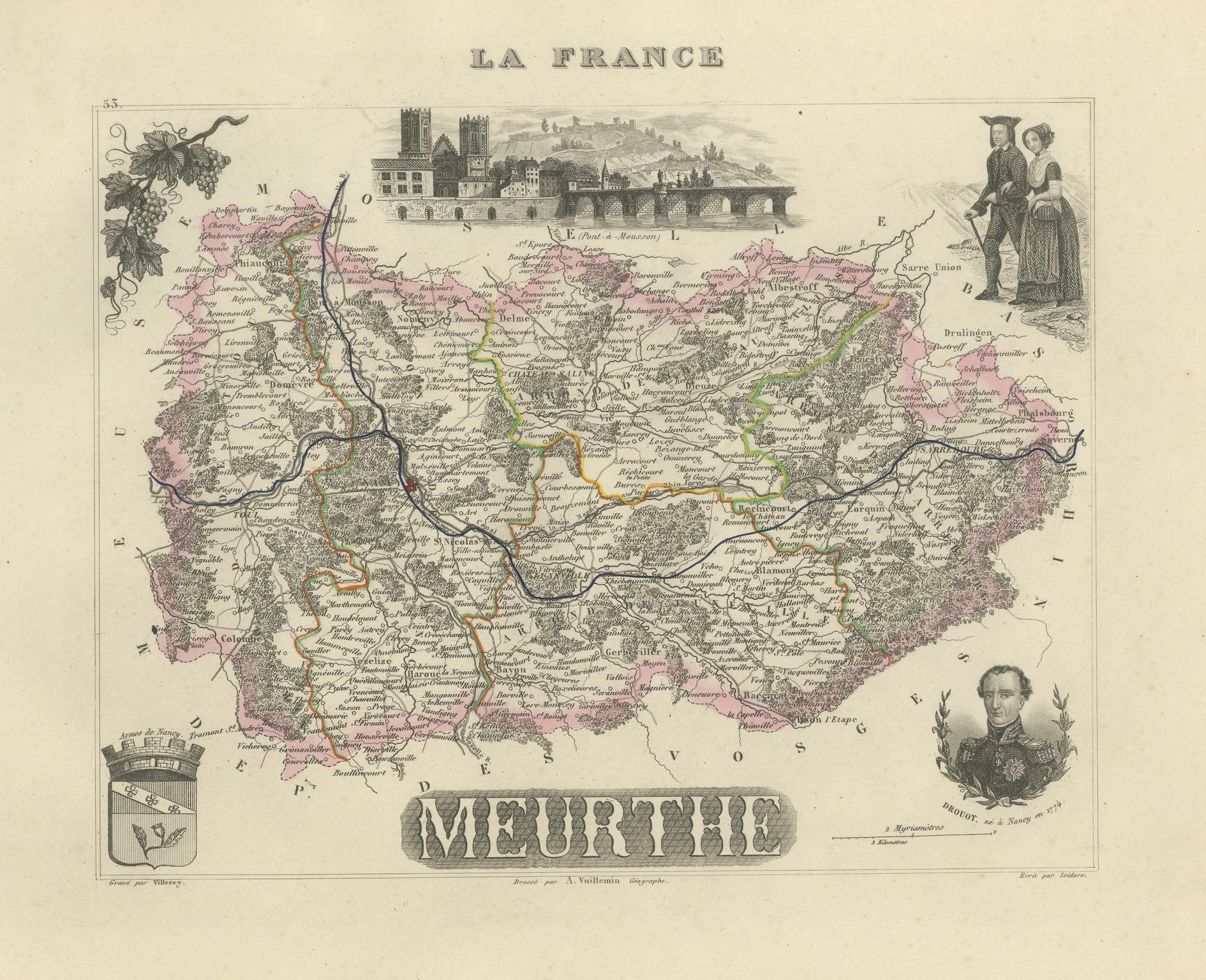
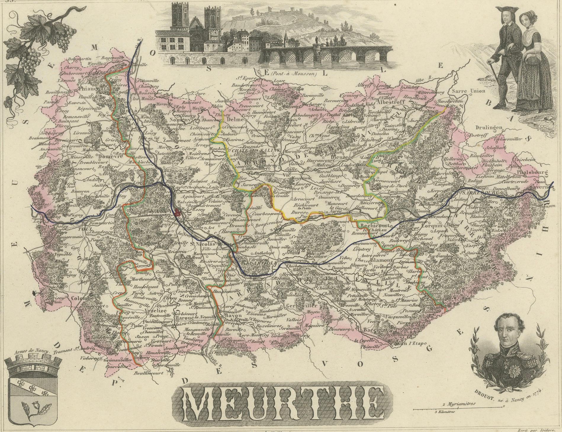
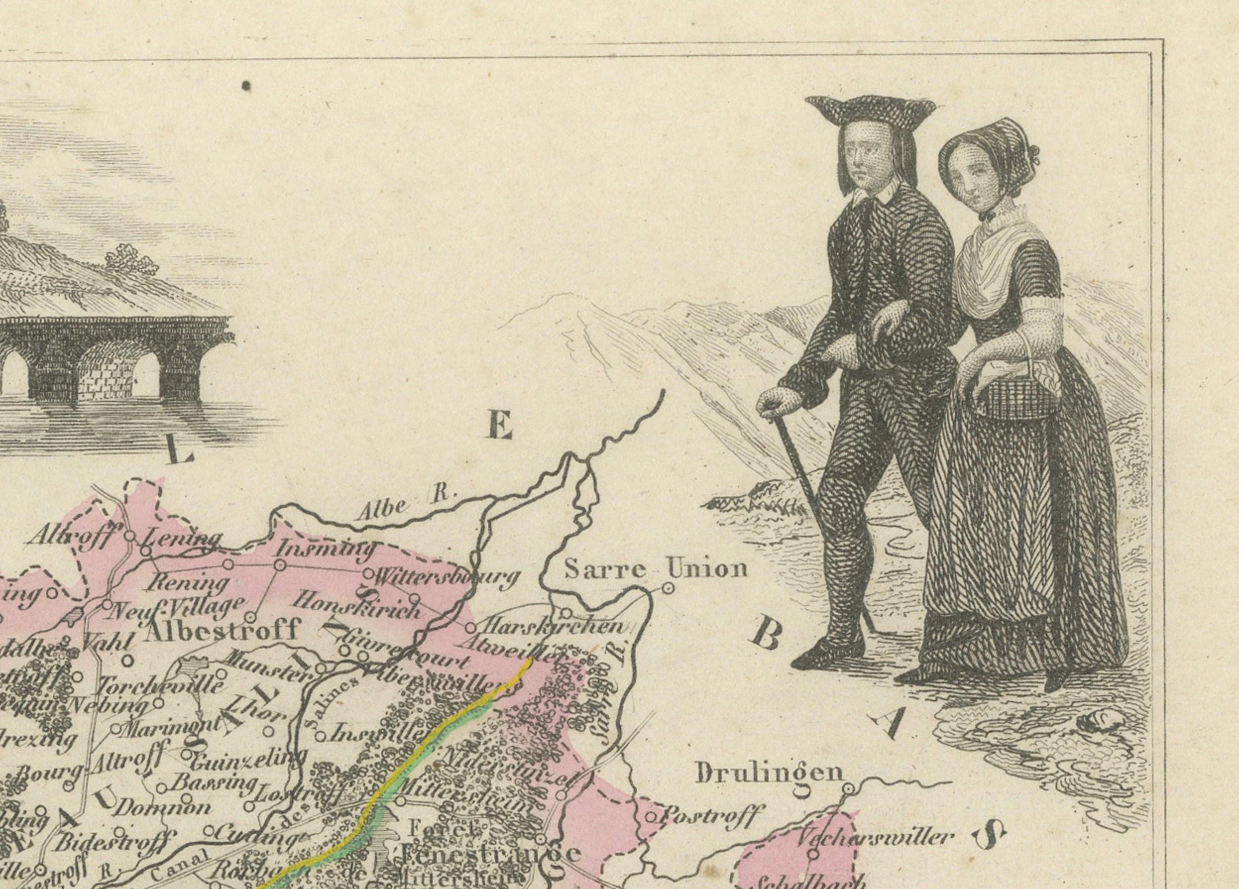
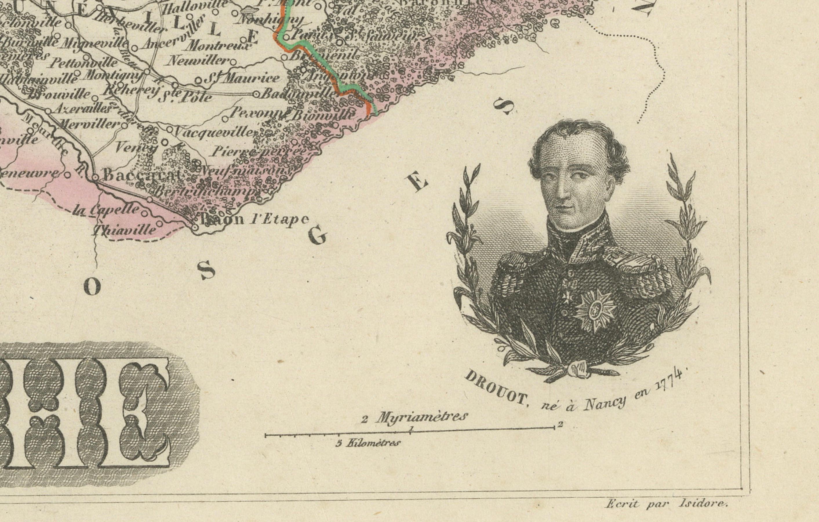
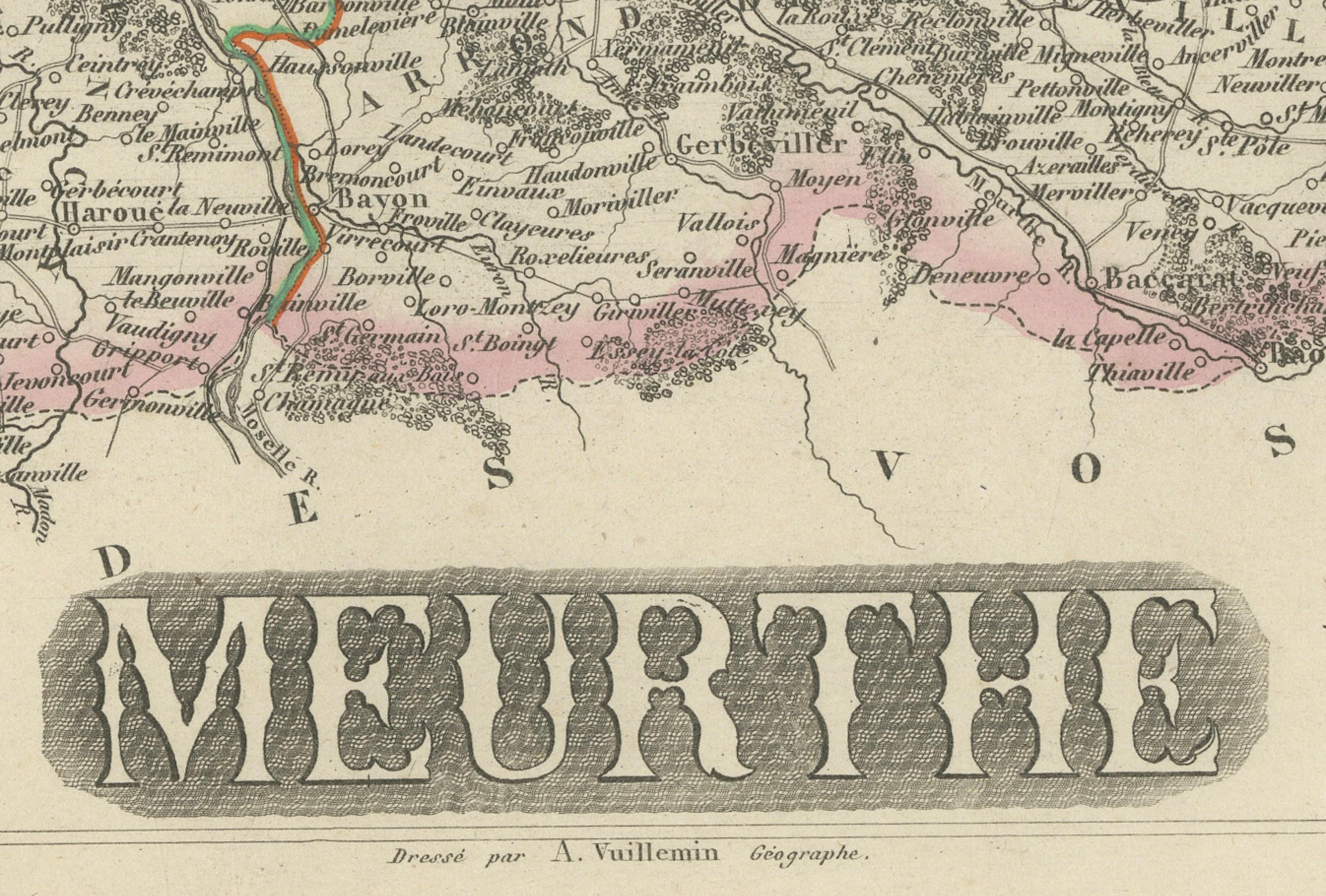
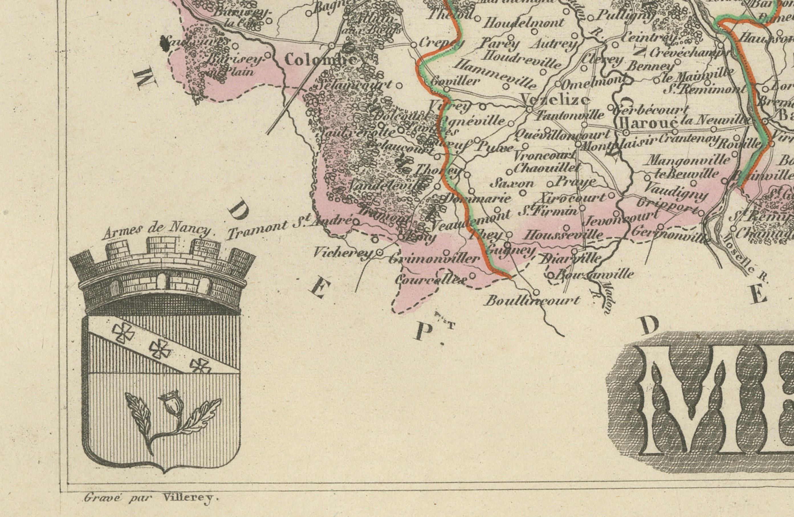
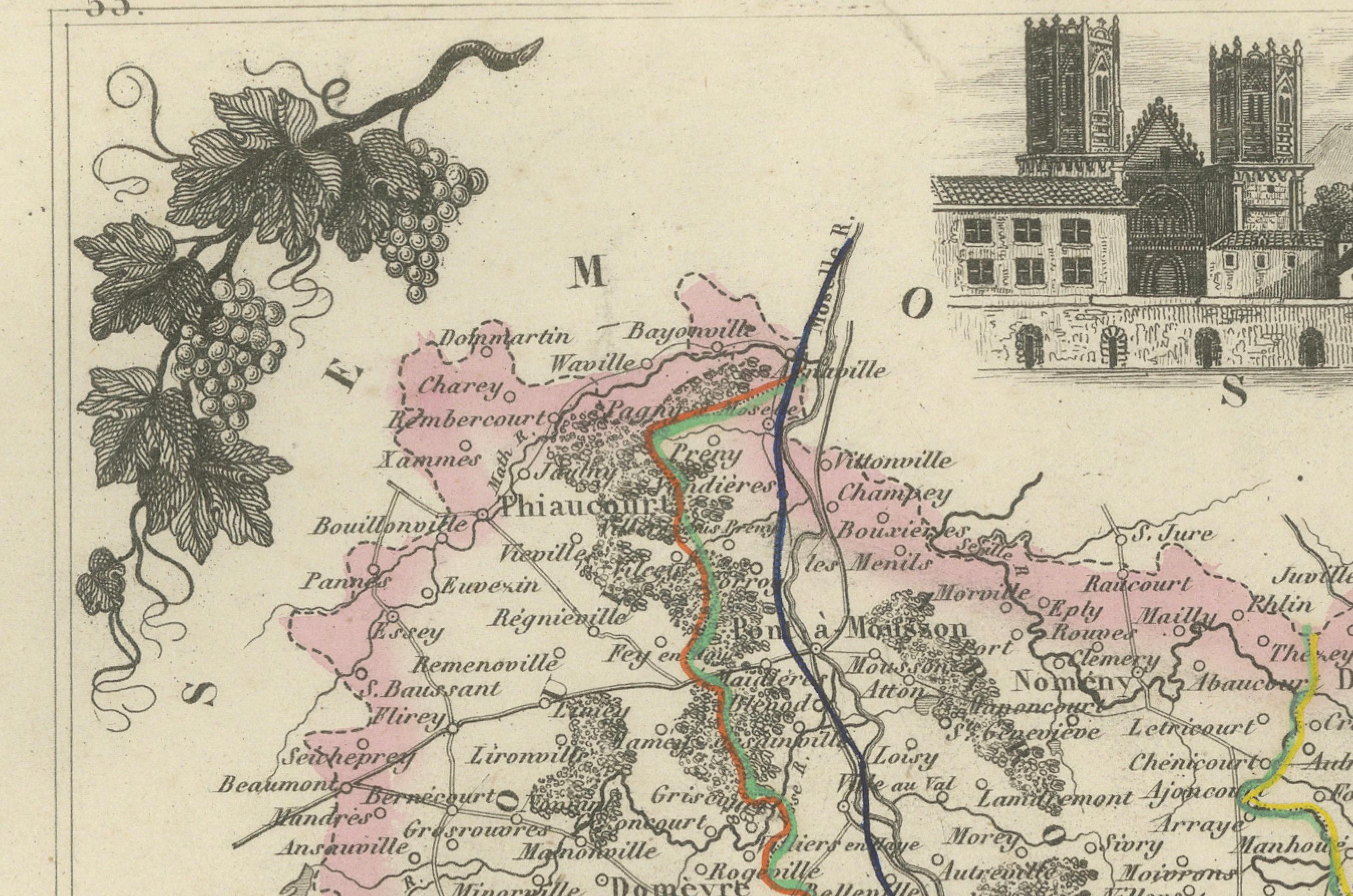
This finely detailed and beautifully illustrated antique map of the Meurthe department in northeastern France was drawn by the French cartographer Alexandre Vuillemin and engraved by Lemoine around 1850. Part of the celebrated *Atlas Départemental de La France*, this map combines precise geographic rendering with decorative vignettes characteristic of 19th-century French cartography.
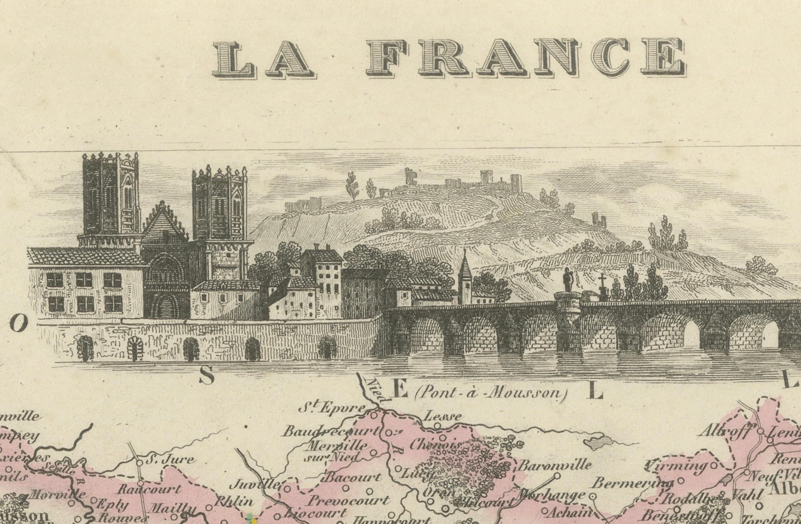
At its core, the map presents Meurthe's topography, towns, communes, rivers, and departmental borders. Major routes and rail lines are highlighted with hand-colored outlines, marking key transport arteries of the mid-19th century. Rich embellishments surround the map: in the upper center is a finely engraved city view of Nancy, the historical capital of the duchy of Lorraine. The lower right features a portrait of General Rousselot, born in Nancy in 1775, an officer of distinction during the Napoleonic Wars. Opposite, in the top right, a pair in regional Lorraine costume represents the department’s cultural identity. In the bottom left corner is the departmental coat of arms, framed in elegant classical design.
The visual appeal of this map is enhanced by delicate pastel hand-coloring, original from the period, highlighting cantonal divisions in pink, green, yellow, and blue. A climbing vine motif and intricate corner decorations add further charm, making the piece both an informative document and a work of art.
This map notably identifies 50 key towns, cities, and communes of historic and economic importance, each with a brief explanation:
1. Nancy – former capital of the Duchy of Lorraine
2. Lunéville – royal seat of the Dukes of Lorraine
3. Toul – historic bishopric and fortified town
4. Pont-à-Mousson – Renaissance university town
5. Saint-Nicolas-de-Port – pilgrimage site with Gothic basilica
6. Château-Salins – known for medieval saltworks
7. Blâmont – border town near Alsace
8. Baccarat – renowned for crystal glass production
9. Bayon – junction of important trade routes
10. Dieuze – salt mining center since Roman times
11. Badonviller – forested frontier town
12. Vézelise – agricultural and market center
13. Dombasle-sur-Meurthe – chemical industry hub
14. Vandoeuvre-lès-Nancy – suburb and university site
15. Jarville – with castle housing the Musée de l’Histoire du Fer
16. Liverdun – medieval hilltop town
17. Haroué – known for Château d’Haroué
18. Flavigny-sur-Moselle – site of historic canal junction
19. Saint-Max – cultural suburb of Nancy
20. Commercy – birthplace of madeleines
21. Tomblaine – residential suburb of Nancy
22. Bayonville – agricultural village
23. Rosières-aux-Salines – known for livestock markets
24. Frouard – important for rail and industry
25. Custines – industrial development in 19th century
26. Pompey – site of 19th-century metallurgy
27. Varangéville – salt and canal commerce
28. Essey-lès-Nancy – residential and commercial suburb
29. Saint-Nicolas – one of Lorraine's major saints honored here
30. Écrouves – fortified town near Toul
31. Marbache – known for iron mines
32. Chaligny – forested village with iron mining
33. Neufchâteau – border trade and market center
34. Frolois – on the Moselle, strategic location
35. Malzéville – historic fortifications and aqueducts
36. Lay-Saint-Christophe – historic religious site
37. Laxou – merged with Nancy in growth period
38. Maxéville – known for vineyards and limestone
39. Seichamps – expanding residential area
40. Heillecourt – suburb with château and park
41. Ludres – village turned industrial suburb
42. Fléville-devant-Nancy – castle with Renaissance architecture
43. Pulligny – on the Moselle, agriculture
44. Saint-Mihiel – monastic center with sculptural heritage
45. Gerbéviller – royal town known for porcelain
46. Mirecourt – famous for violin-making
47. Bayonville-sur-Mad – rural hamlet
48. Chenevières – location of glass factory
49. Mangonville – small fortified village
50. Croismare – near Baccarat, regional significance
Collectors of antique cartography will appreciate this map for its aesthetic embellishments, historical value, and the insight it offers into France's pre-1871 geography—before the Meurthe department was divided following the Franco-Prussian War. It is a remarkable artifact of geographic, political, and artistic interest.
Condition report: Very good condition. Light age-toning to margins. Original hand coloring. Plate mark visible. Very small spots along edges. No centerfold.
Framing tips: Ideal for framing with a double mat—ivory outer mat with a muted pink or green inner line to echo the canton colors. A dark walnut or black frame with antique gold fillet would complement the engraving’s refined details and vignette work.
Technique: Engraving with original hand color
Maker: Alexandre Vuillemin, Paris, circa 1850