About this sheet
Antique Map of Lot, France – Hand-Colored Engraving by Vuillemin, c.1850
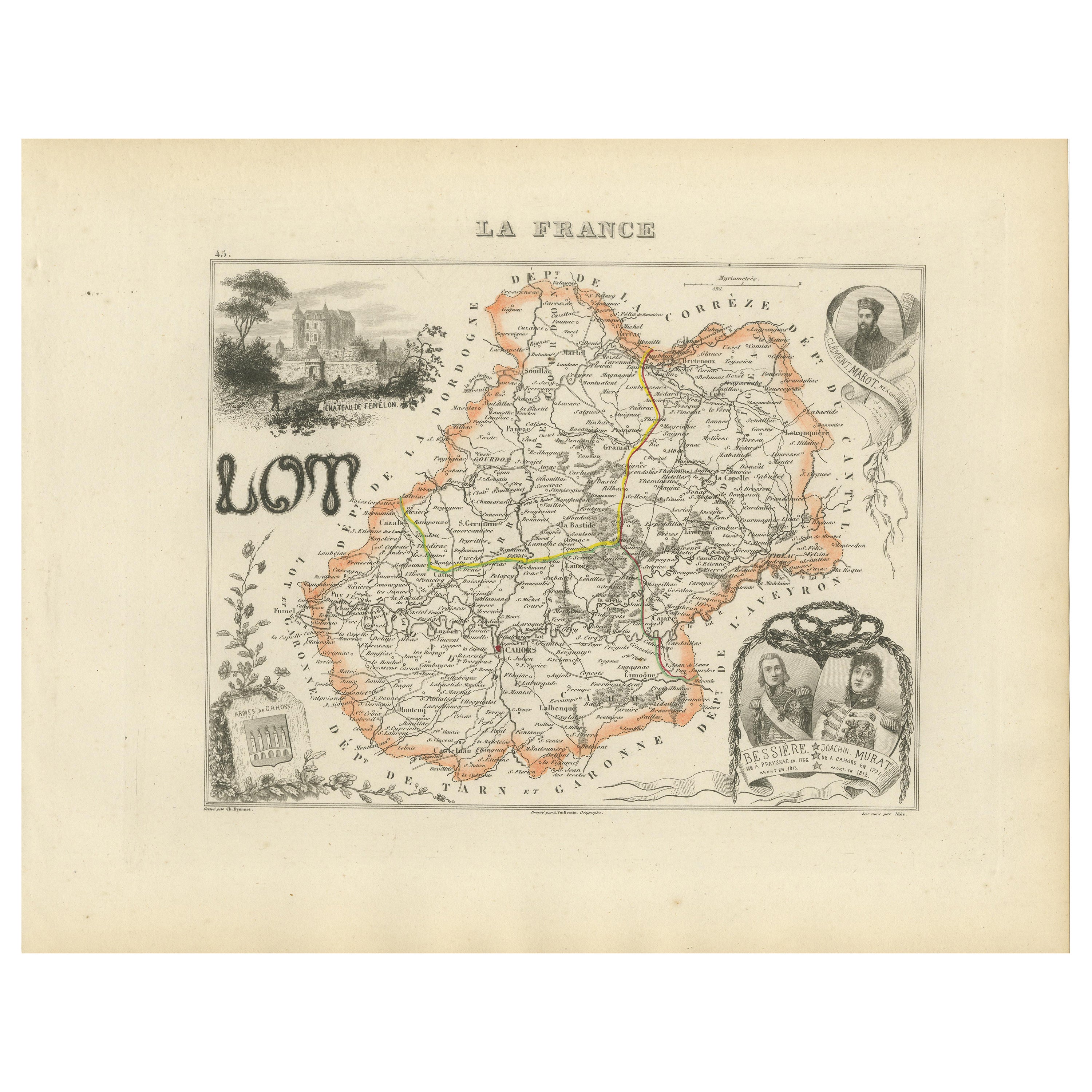
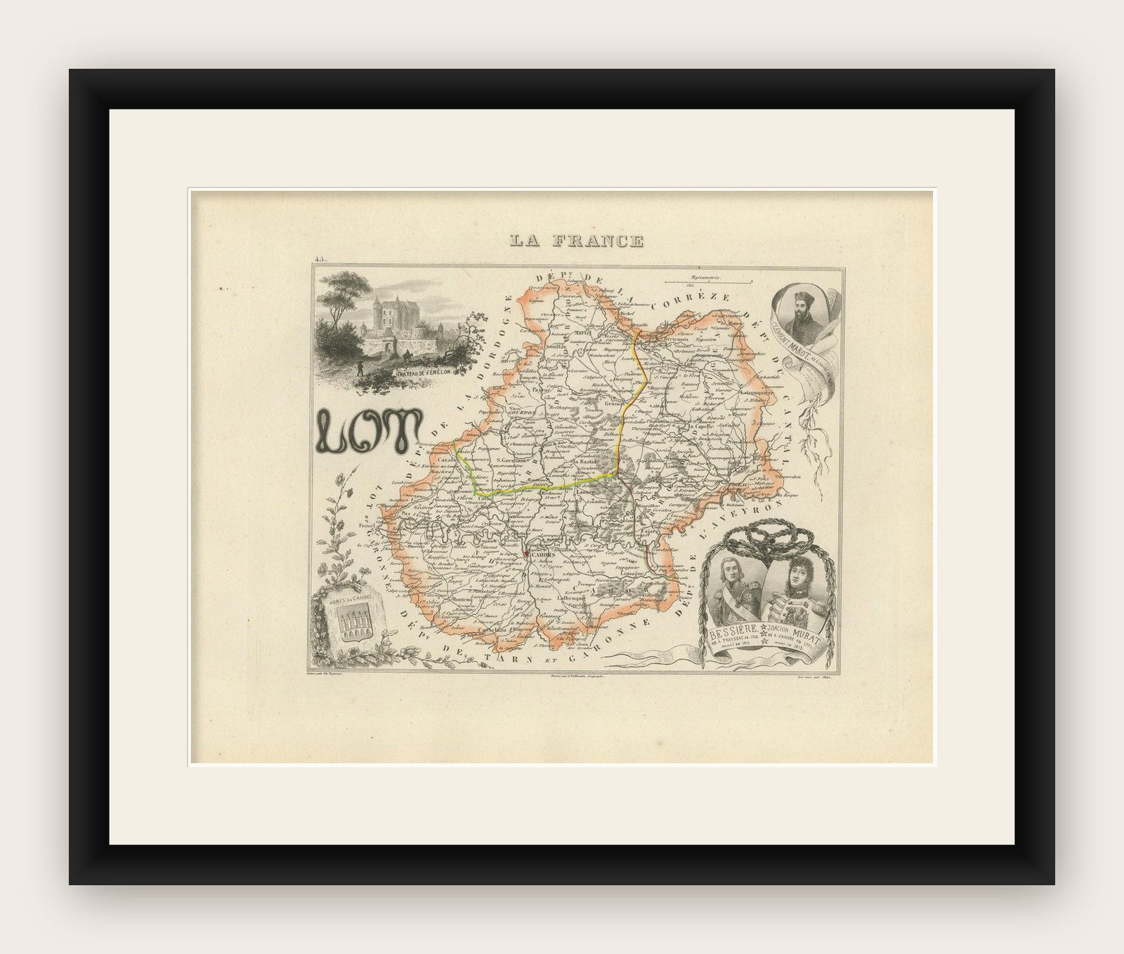
This beautifully engraved 19th-century map of the French department of Lot was created by the notable French cartographer Alexandre Vuillemin and published circa 1850 in Paris. It forms part of his acclaimed Atlas Départemental de la France, a richly illustrated series of maps celebrating the geography, culture, and history of France’s departments.
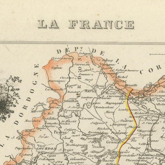
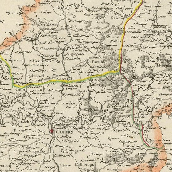
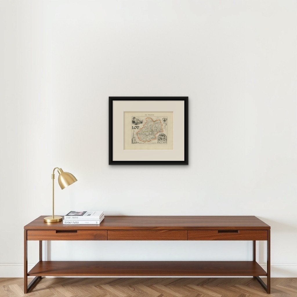
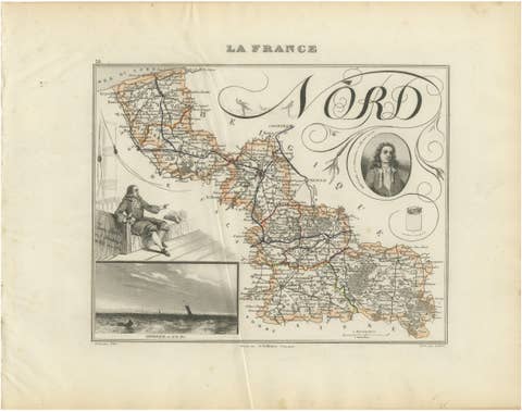
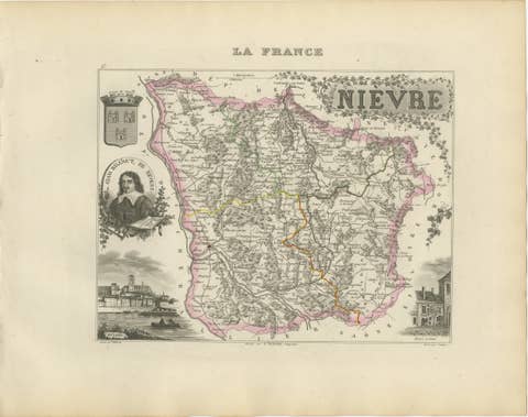
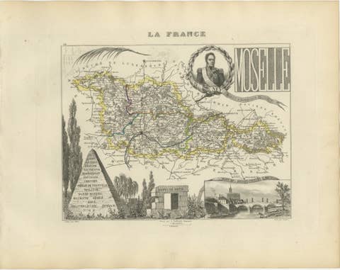
The map of Lot is outlined in a soft orange border, with major rivers, roads, and towns carefully rendered. Several routes are highlighted in color, most likely referencing postal roads or railways of the period. Towns and communes are labeled with remarkable clarity, giving insight into the dense settlement patterns and regional importance of this southwestern area of France.
What makes this map particularly appealing are its decorative vignettes and historical references. In the upper left corner is a view of the Château de Fénelon, a medieval castle linked to the famous theologian and writer François Fénelon. The lower left features the arms of the Arrondissement de Cahors. In the bottom right corner is a framed illustration of Generals Jean-Baptiste Bessières and Joachim Murat, both born in Lot and prominent figures in Napoleonic military history. A portrait of Murat also adorns the upper right corner, adding a personal and patriotic element to the cartography.
This map serves both as a visual and historical document, combining geography with iconography and local pride. The style is characteristically mid-19th century, with delicate hand-coloring, precision engraving, and typographic elegance. A perfect piece for collectors of antique maps, French regional history, or Napoleonic memorabilia.
Key locations labeled on the map include:
Condition report:
Good condition with wide margins and mild age toning. Minor scattered foxing in outer margin, not affecting printed area. Hand-coloring remains vibrant. Plate mark visible. No tears or repairs.
Framing tips:
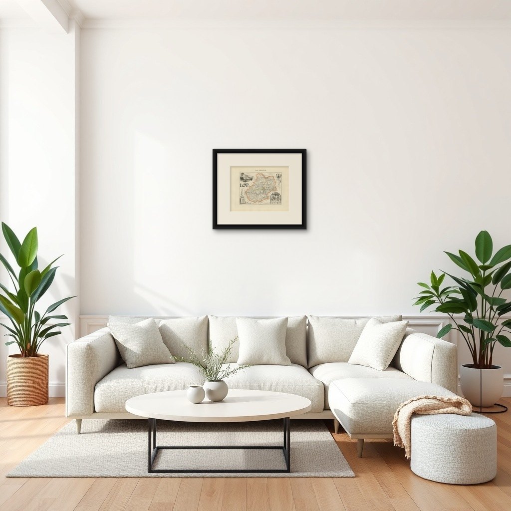
Best displayed in a simple black or walnut wooden frame with a cream or soft gray mat. Double matting can enhance the vignette details, especially around the portraits. Consider UV-protective glass to preserve the delicate hand-coloring.