

Maps & PrintsBartele Gallery · Langweer
Home / Antique Maps / Europe / Western Europe / France

France · 19th century

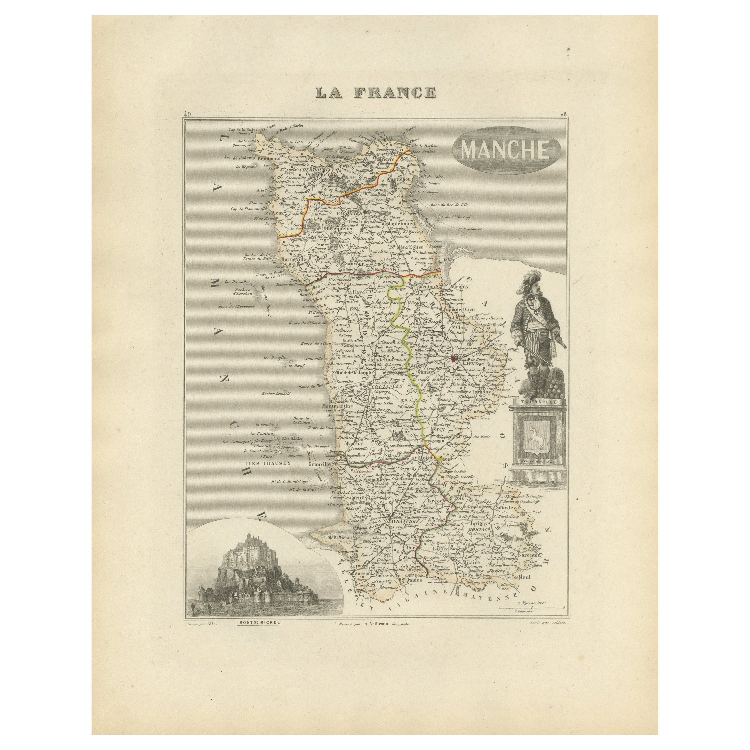
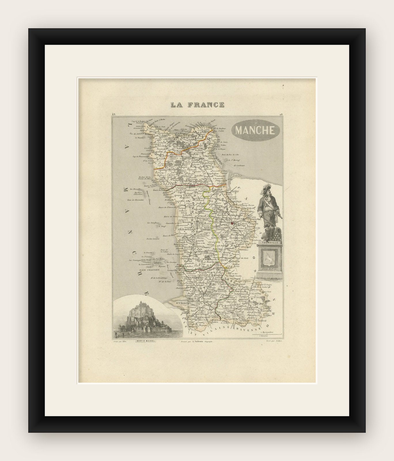
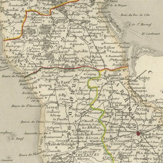
Antique Engraved Map of Manche with Mont Saint-Michel, France, circa 1850

€ 290

Original antique · The actual sheet photographed · Certificate of authenticity on request · Sold unframed · Worldwide shipping from € 15 (rates)

Date
1850
Mapmaker / artist
A. Vuillemin, Paris, circa 1850
Technique
Engraving with hand-color
Sheet size
32.5 × 26.1 cm (12.8 × 10.3 in)
Condition
Good
Reference
BG-13331-49
What the condition grades mean
Excellent
Bright and clean, with no faults worth mentioning.
Very good
Only light signs of age, such as faint toning.
Good
Normal signs of age for a sheet of this period: toning, some foxing, small marks or neat old repairs.
Fair
Clear faults such as staining, tears or repairs, priced to match.

Every fault we see is written in the condition note, and the whole sheet is shown uncropped in the photos.

Condition

Excellent condition with light age toning to the margins. Centerfold as issued. Plate mark visible. No tears or foxing.
About this sheet

Antique Map of Manche, France – Mont-St-Michel and Cherbourg Region – c.1850

This highly decorative mid-19th century map of Manche, engraved by A. Vuillemin and published by Levasseur in Paris, is a beautifully detailed representation of this northwestern department of France. With hand-colored department borders and finely engraved surrounding vignettes, it forms part of the renowned Atlas National Illustré, a series that combined cartographic accuracy with rich illustrative embellishment.

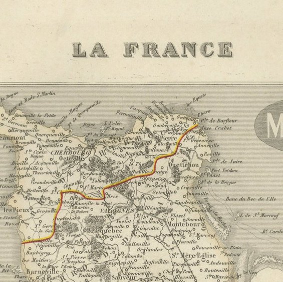
The map features major towns, rivers, roads, and topographic detail, all labeled in delicate copperplate engraving. The department of Manche, named after the English Channel, is bordered by the sea on three sides and includes some of France’s most iconic coastal and historical landmarks.

Particularly striking is the large vignette at the bottom left featuring Mont-Saint-Michel, the famous tidal island and abbey listed as a UNESCO World Heritage Site. Also depicted are military figures, coats of arms, and a classical figure likely symbolizing regional strength or patriotism, enhancing the visual impact and collectability of the piece.

This map would appeal to collectors of French regional cartography, military or naval history, or those with connections to Normandy or the D-Day region. The inclusion of dozens of historical towns, ports, and strategic locations makes it valuable for both display and research.

50 Important Places Featured on the Map and Their Significance:

Condition Report:

Excellent condition with light age toning to the margins. Plate mark visible. No tears or foxing.
Framing Suggestions:

For an elegant and timeless presentation, frame with a dark walnut or black wooden frame and a double mat: outer mat in ivory and inner mat in pale gray or French blue to highlight the coastal theme. Ideal for libraries, living rooms, or offices with a historical or nautical decor.

More from France

Ask about this sheet

Antique Engraved Map of Manche with Mont Saint-Michel, France, circa 1850
1850 · Ref. BG-13331-49 · € 290
We reply by email, usually within one working day.

Your favorites

Saved in this browser. Email the list to yourself to keep it on any device.

We use your email to send this list and, only if you tick the box and confirm, for occasional new arrivals. Every email has an unsubscribe link. Bartele Gallery, the Netherlands.