About this sheet
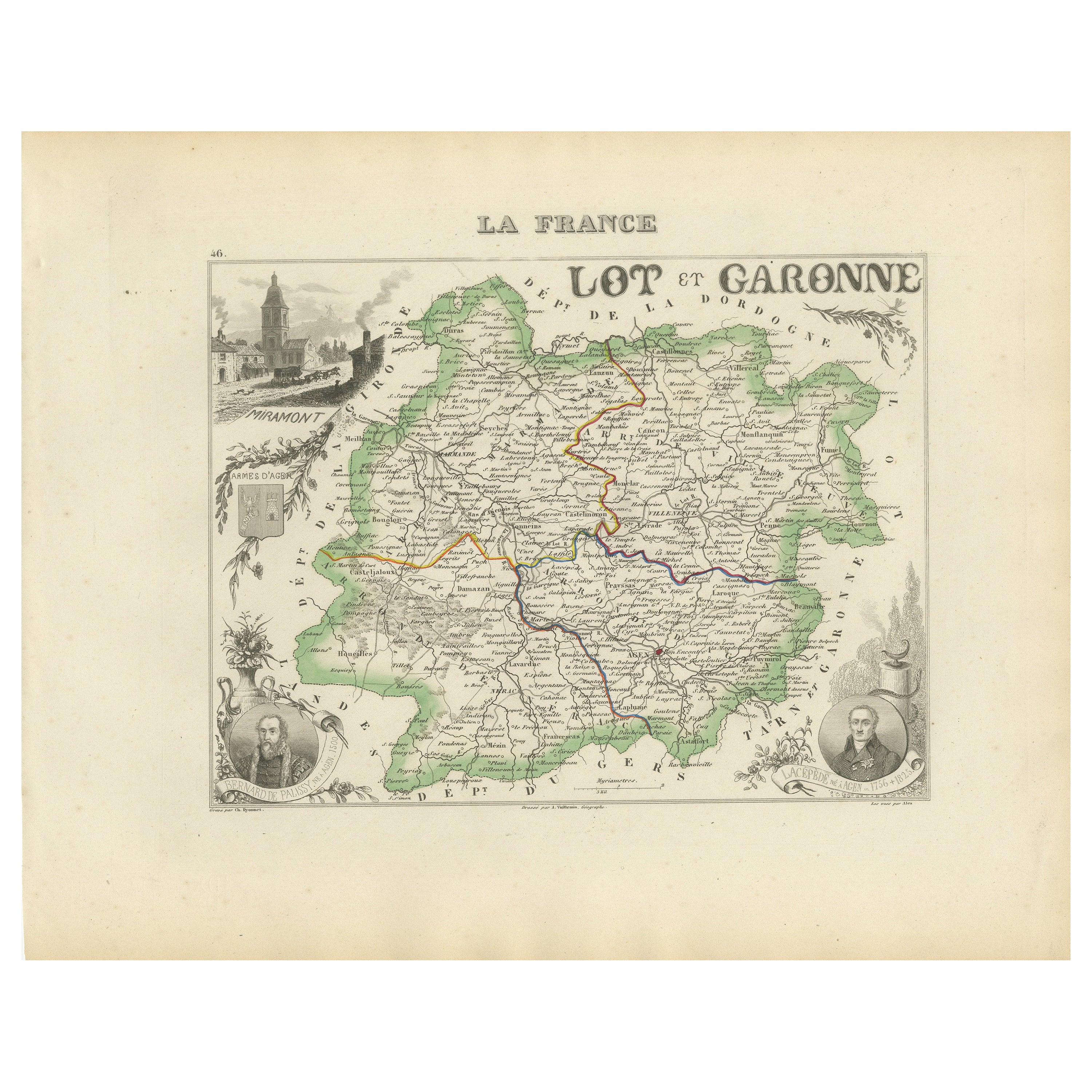
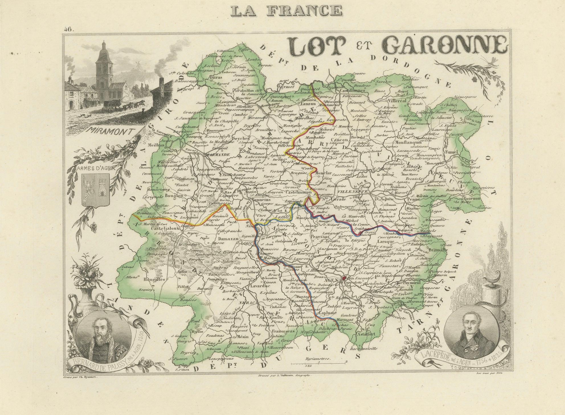
Antique Department Map – Lot-et-Garonne, France by Levasseur, c.1850
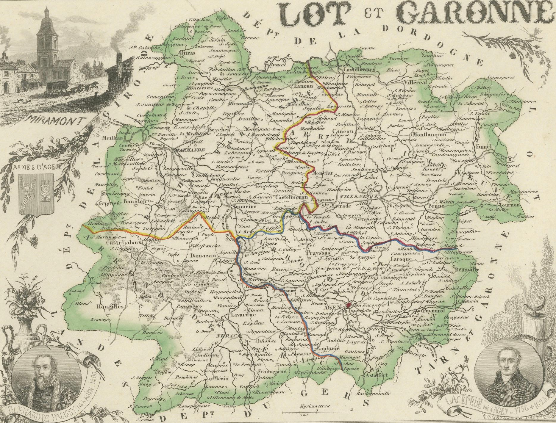
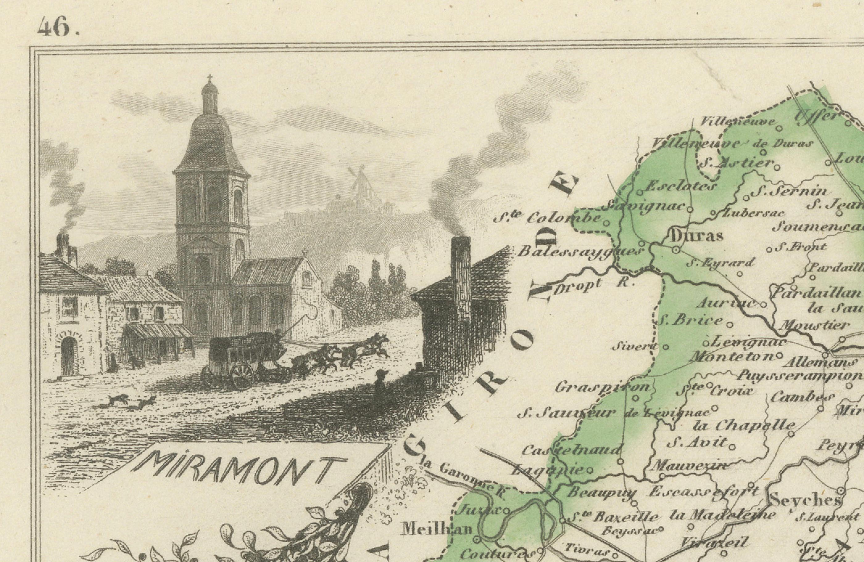
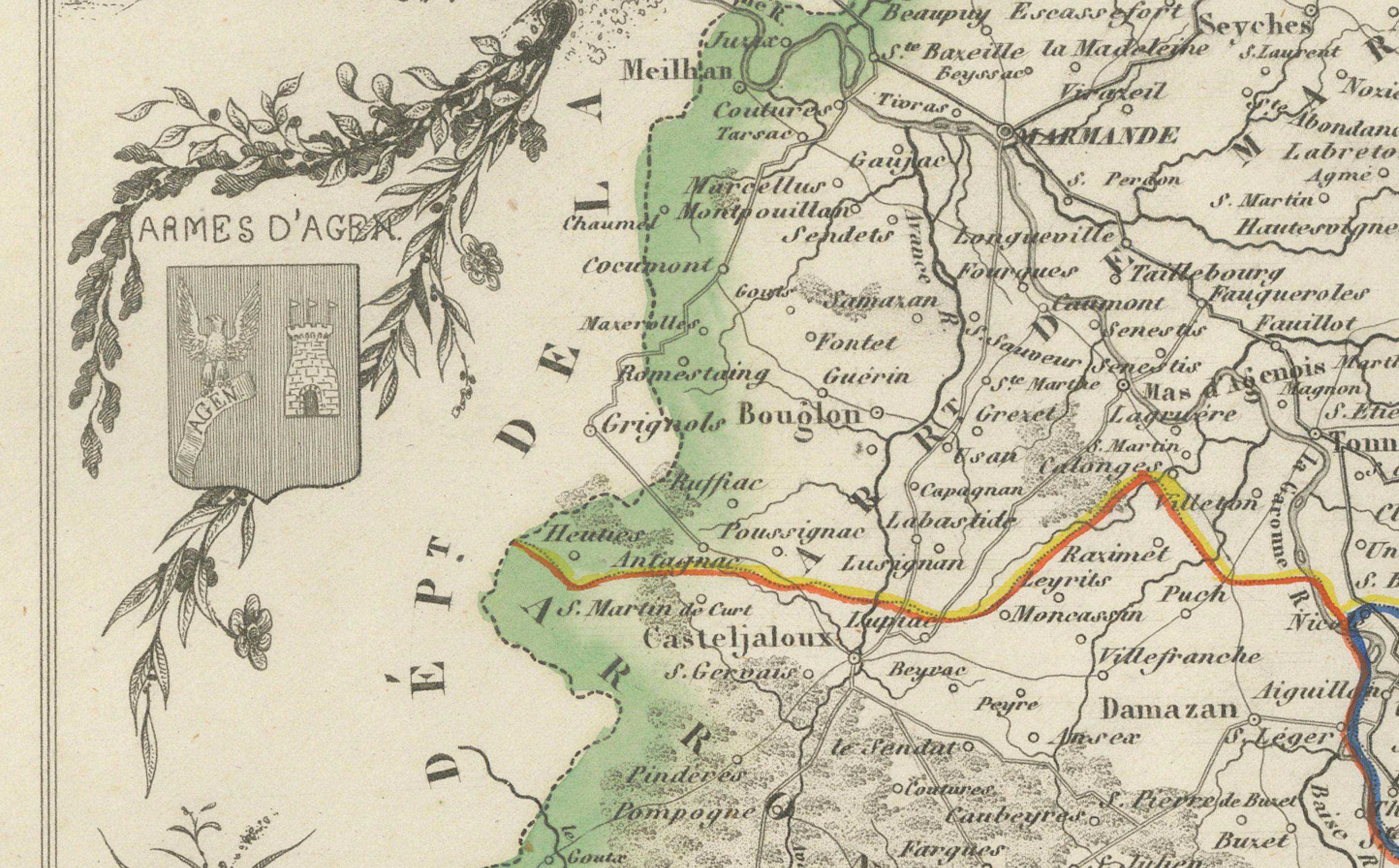
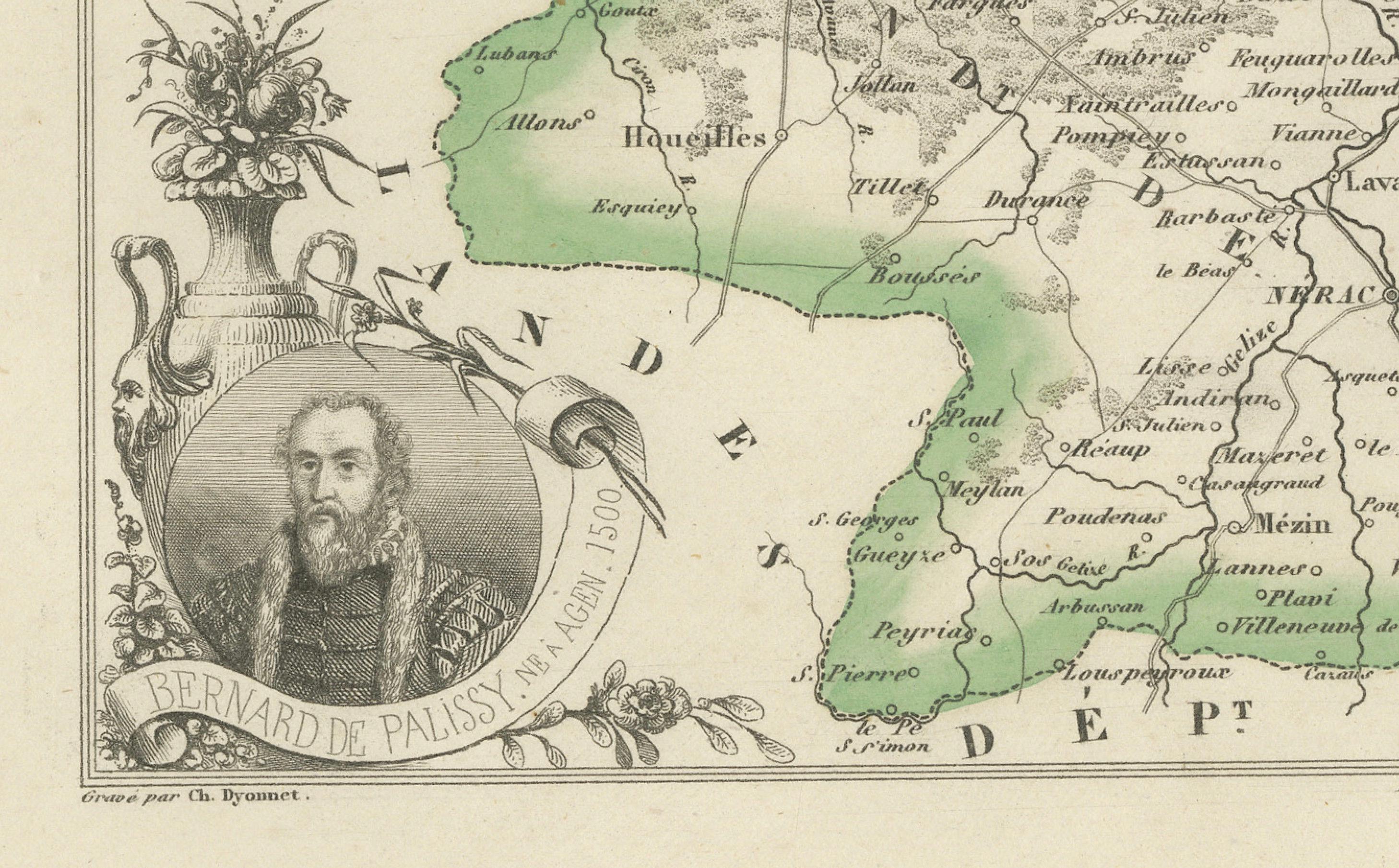
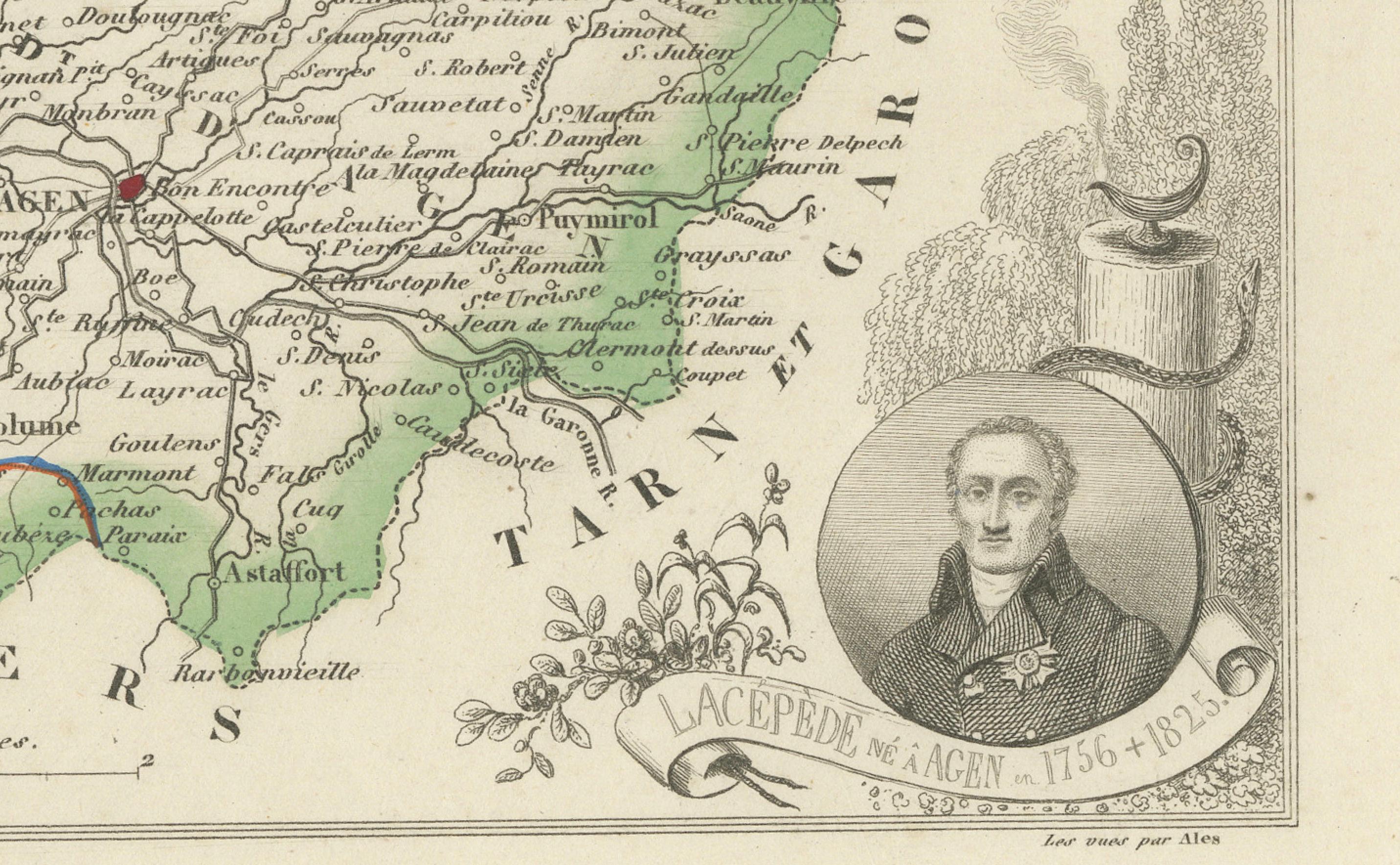
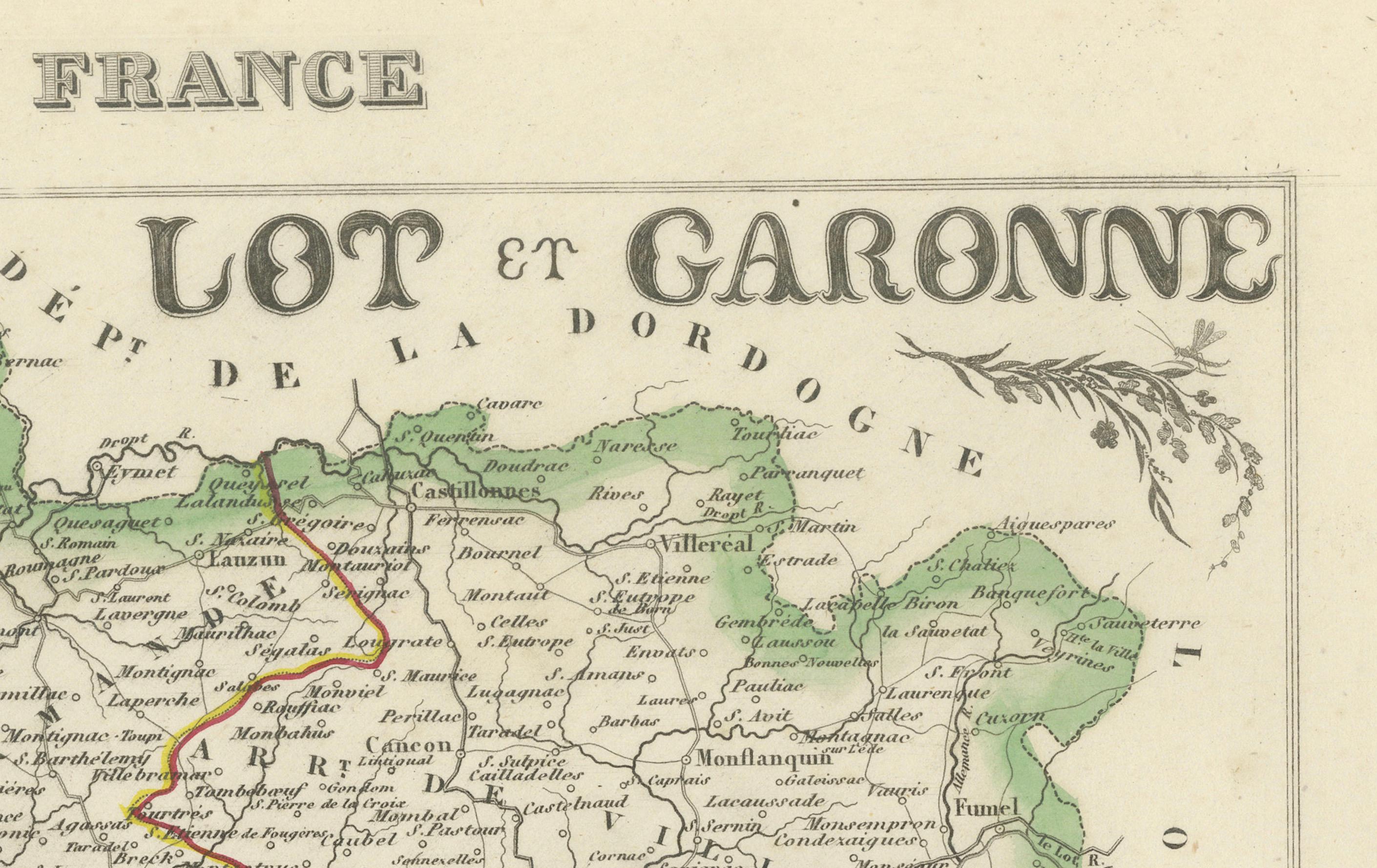
This decorative and historically significant map of the French department Lot-et-Garonne was created by Victor Levasseur and published around 1850 in his renowned atlas “Atlas National Illustré des 86 Départements et des Possessions de la France.” Richly engraved and accented with fine hand coloring, the map offers a highly detailed depiction of the Lot-et-Garonne region in southwestern France, with its towns, roads, rivers, and railways illustrated with precision.
Levasseur’s work is celebrated not only for its geographical accuracy but also for the elaborate vignettes that surround each map. This particular sheet is embellished with charming allegorical and historical motifs: to the upper left is an engraving of the town of Miramont with its church and buildings, while portraits of notable figures—Bernard Palissy and Jacques de Romas—adorn the lower corners. A decorative coat of arms for the département also appears, enhancing the visual richness of the sheet.
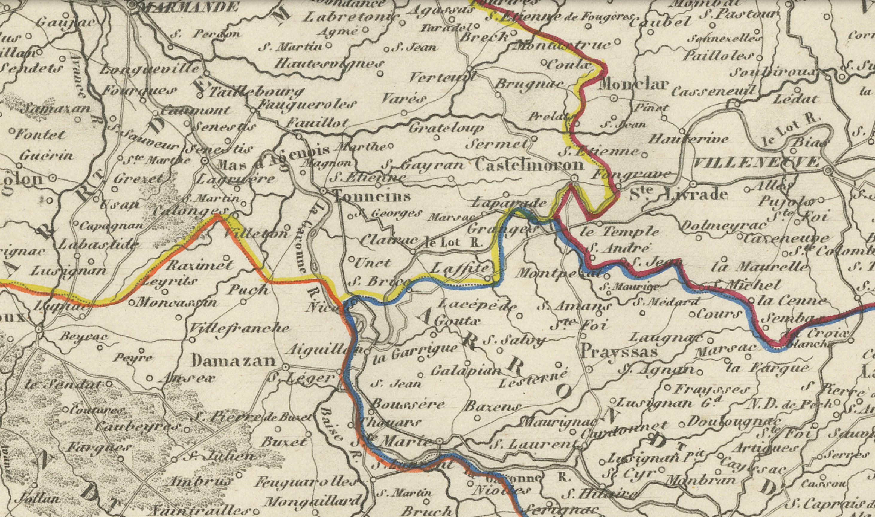
Fine engraved detail shows the borders outlined in green and individual arrondissements distinguished by bold color lines. Rivers such as the Garonne and Lot meander through the central regions, and railway lines intersect the landscape, reflecting 19th-century infrastructural development.
This map is part of Levasseur’s famous series combining art, science, and national pride, offering both a useful reference and an engaging decorative piece. It is ideal for collectors of antique maps, French regional history, or 19th-century cartography.
Condition: Excellent original condition with wide margins. Slight age toning to edges, typical of antique paper. Plate mark visible. No tears or repairs.
Framing tip: A simple dark wood or walnut frame with a soft white mat would enhance the earthy tones of the engraving and highlight the green and colored borders, making this a striking addition to a study, hallway, or library wall.
Technique: Steel engraving with original hand color
Maker: Victor Levasseur, Paris, c.1850
Key locations marked on the map (selected 50 cities, towns, or regions within Lot-et-Garonne):
1. Agen
2. Marmande
3. Nérac
4. Casteljaloux
5. Villeneuve-sur-Lot
6. Tonneins
7. Sainte-Bazeille
8. Clairac
9. Aiguillon
10. Le Mas-d’Agenais
11. Duras
12. Fumel
13. Monflanquin
14. Miramont-de-Guyenne
15. Port-Sainte-Marie
16. Beaupuy
17. Bouglon
18. Grateloup
19. Bourran
20. Castelmoron-sur-Lot
21. Sainte-Livrade-sur-Lot
22. Mézin
23. Francescas
24. Laroque-Timbaut
25. Lévignac-de-Guyenne
26. Castillonnès
27. Saint-Barthélemy-d’Agenais
28. Penne-d’Agenais
29. Lauzun
30. Sérignac-sur-Garonne
31. Cancon
32. Monsempron-Libos
33. Saint-Pardoux-Isaac
34. Montpezat
35. Dondas
36. Saint-Vite
37. Caumont-sur-Garonne
38. Saint-Hilaire-de-Lusignan
39. Montagnac-sur-Auvignon
40. Gontaud-de-Nogaret
41. La Sauvetat-du-Dropt
42. Saint-Étienne-de-Fougères
43. Prayssas
44. Pujols
45. Puymirol
46. Laplume
47. Saint-Maurin
48. Monbahus
49. Monteton
50. Montauriol