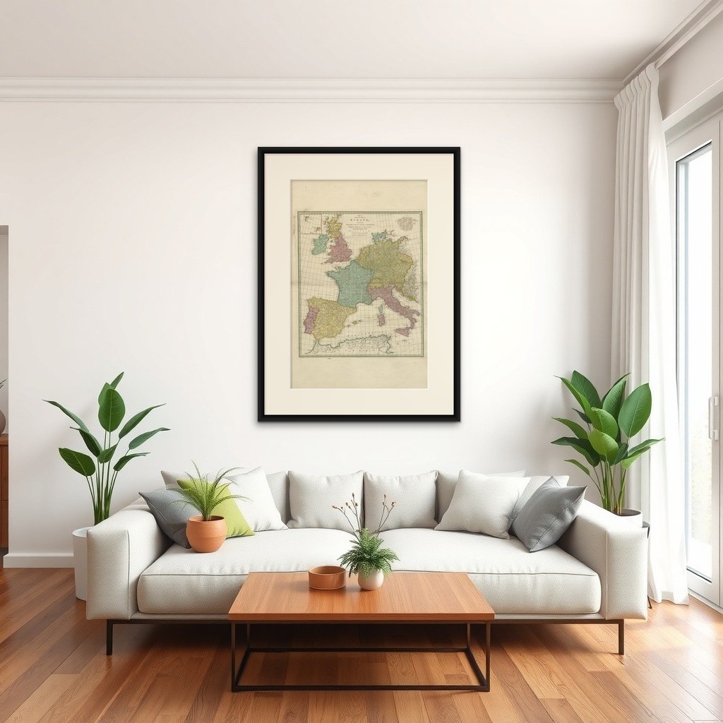
1788 Map of Europe - France, Italy, Spain, Germany, Great Britain & Ireland
€ 1 120
Original antique · The actual sheet photographed · Certificate of authenticity on request · Sold unframed · Worldwide shipping from € 15 (rates)
Date
1788
Sheet size
80 × 53.5 cm (31.5 × 21.1 in)
Condition
Good
Reference
BG-13840-6
What the condition grades mean
Excellent
Bright and clean, with no faults worth mentioning.
Very good
Only light signs of age, such as faint toning.
Good
Normal signs of age for a sheet of this period: toning, some foxing, small marks or neat old repairs.
Fair
Clear faults such as staining, tears or repairs, priced to match.
Every fault we see is written in the condition note, and the whole sheet is shown uncropped in the photos.
Condition
The map is in very good condition for its age, with general age-related toning and some light scattered foxing typical of maps from the late 18th century. The hand coloring is well-preserved.
About this sheet
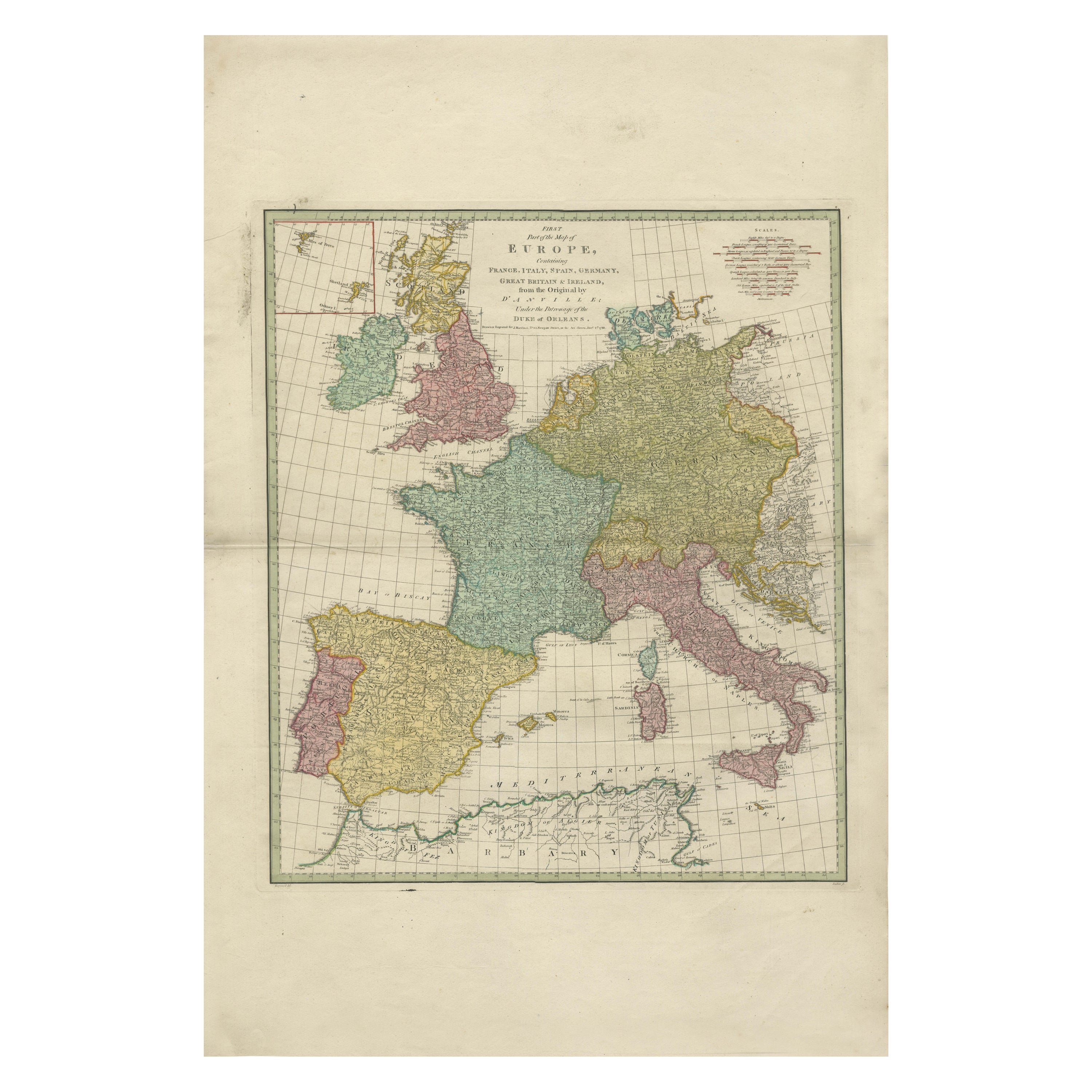
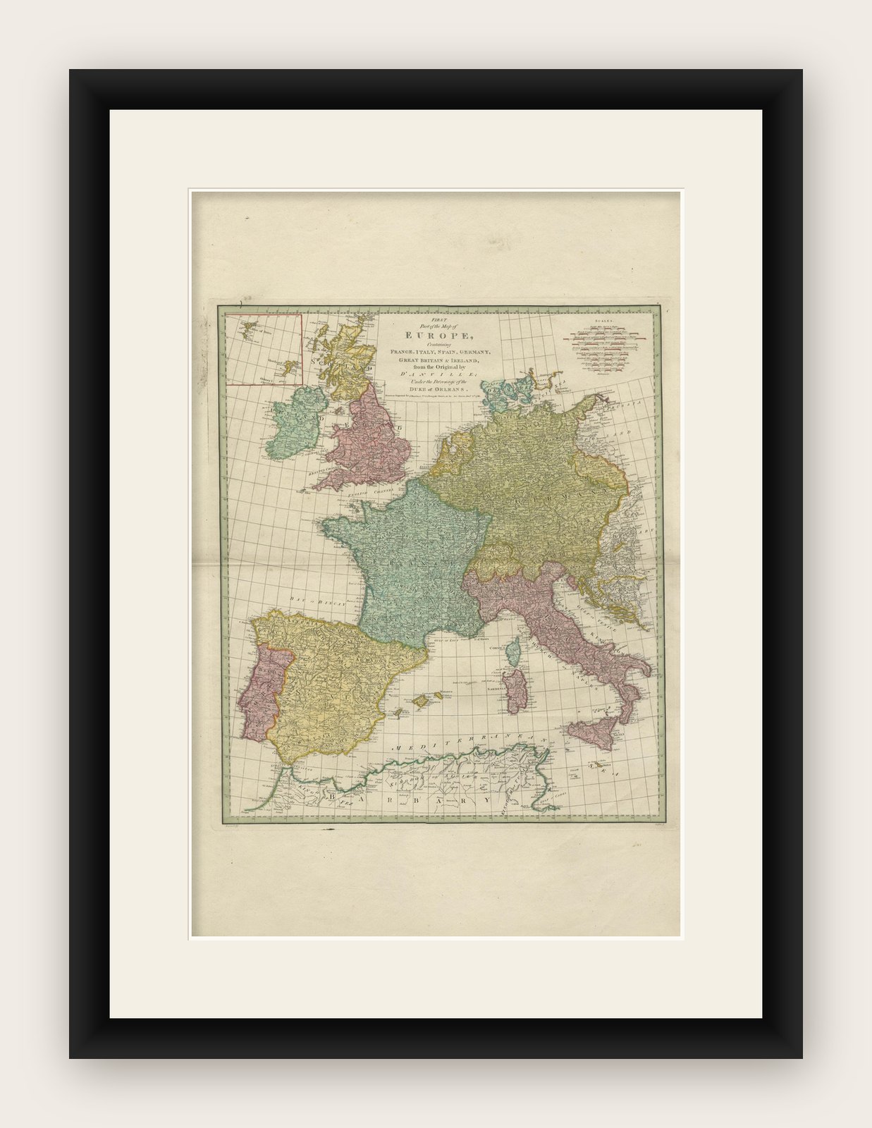
This detailed map of Europe, titled "First Part of the Map of Europe, Containing France, Italy, Spain, Germany, Great Britain & Ireland," was published in 1788. The map was based on the original work by renowned French cartographer Jean Baptiste Bourguignon d'Anville and was produced under the patronage of the Duke of Orleans. The map was drawn and engraved for J. Harrison, London, as stated in the lower margin, with the publishing date marked as December 1st, 1788.
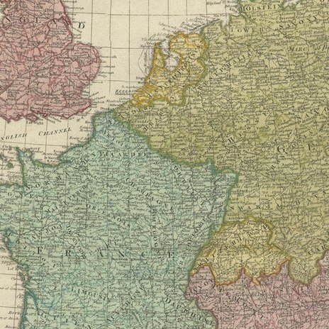
This map reflects the high level of cartographic skill during the late 18th century, showcasing intricate details of the various regions, including boundaries, cities, and geographical features. D'Anville was known for his meticulous research and was one of the most respected geographers of his time, often recognized for his contributions to geographical accuracy. This particular map shows the political divisions of Europe during a tumultuous period just prior to the French Revolution.
The map has an attractive decorative cartouche, typical of maps from this era, which adds an artistic element to the presentation. It remains an important historical document, providing a glimpse into how Europe was perceived and divided just before significant political changes shaped the continent.