About this sheet
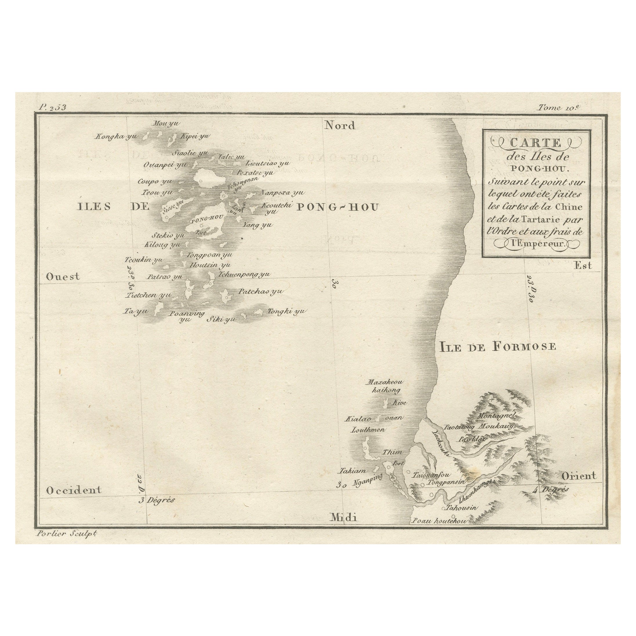
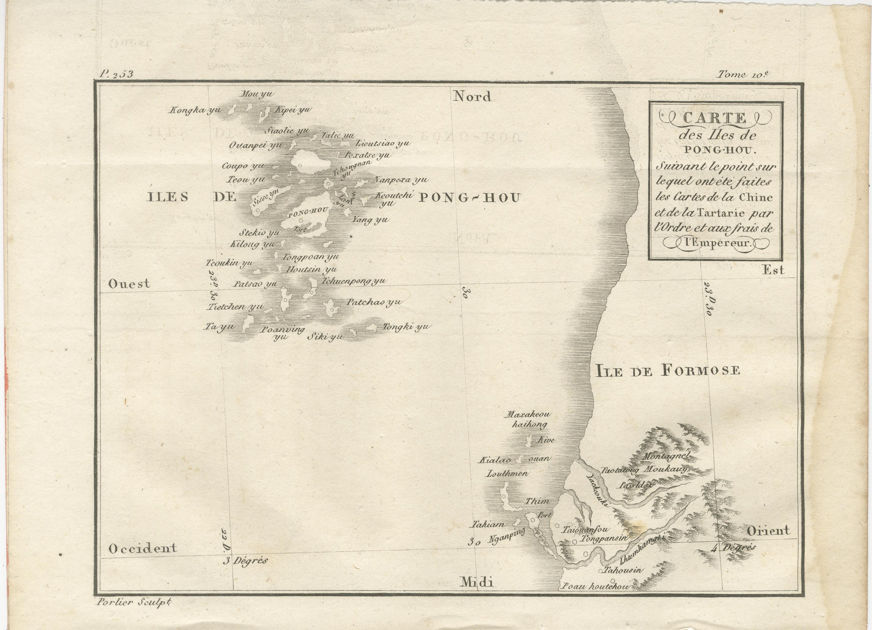
Map of the Pescadores Islands (Pong-Hou) and Formosa – French Jesuit Engraving by Portier, c.1790
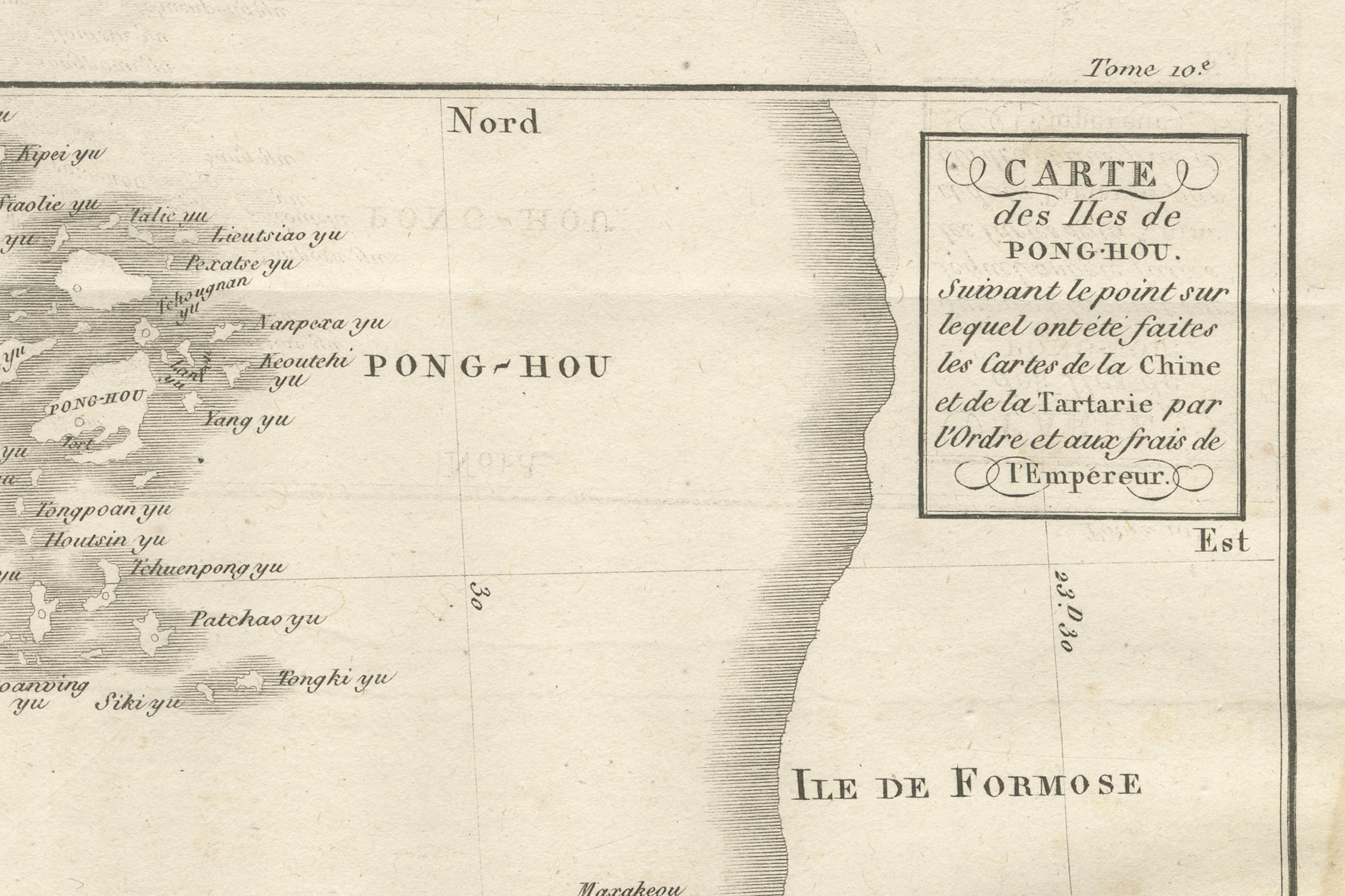
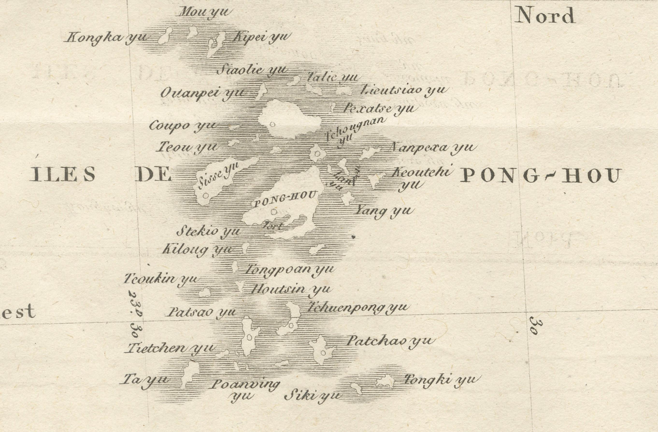
This finely engraved French map, produced by Portier around 1790, depicts the Pescadores Islands (Iles de Pong-Hou) and part of the western coast of Formosa (modern Taiwan). The map is titled in French as “Carte des Isles de Pong-Hou suivant le point sur lequel ont été faites les Cartes de la Chine et de la Tartarie par l’ordre et aux frais de l’Empereur,” indicating that it was based on Chinese imperial surveys commissioned by the Emperor.
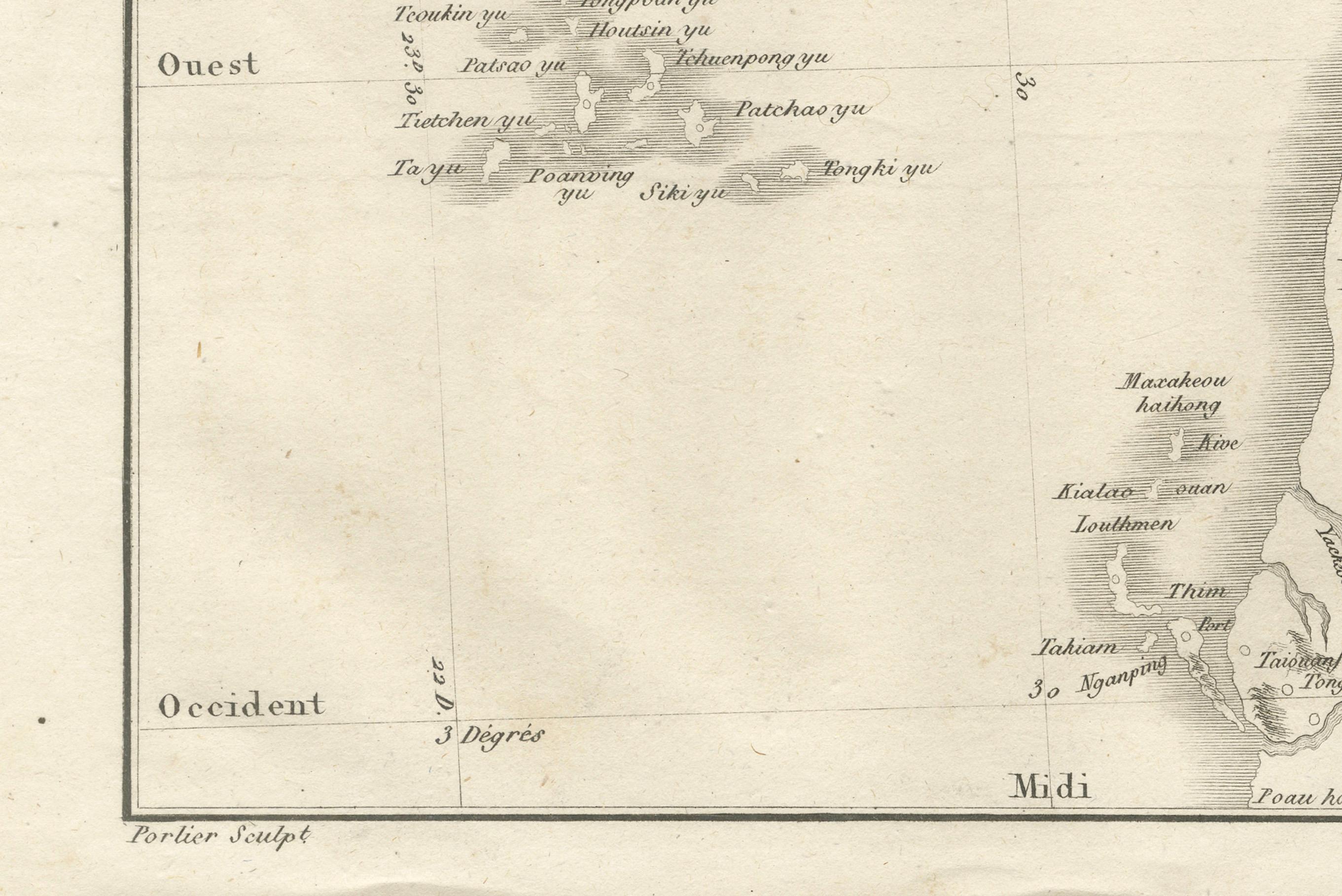
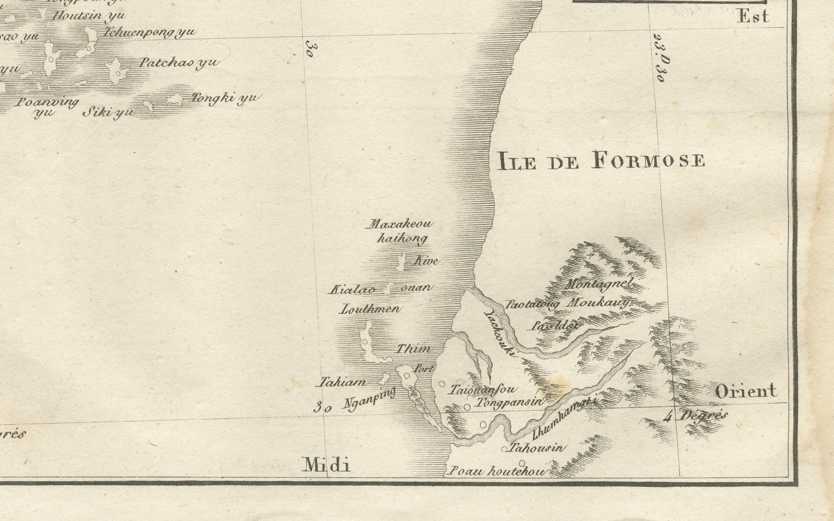
The Pescadores archipelago is shown in detail, with numerous islands labeled by their transliterated Chinese names, including Gonochou, Stehko yu, Kilong yu, Teou yu, Tetchou yu, and Paoaning yu. The western coast of Taiwan features key settlements and natural features, such as Makakeou, Kiailao, and the mountainous interior, labeled “Montagnes Montaux” and “Liulieu.” The coastline is depicted with fine hachuring to indicate relief and coastal shape, while the neatline includes a degree scale for longitude and latitude.
Located in the Taiwan Strait, the Pescadores have historically been a strategic maritime location for trade and naval operations between China and Southeast Asia. This map reflects the Jesuit tradition of combining European engraving techniques with geographic data obtained from Chinese sources, an exchange that significantly advanced European knowledge of East Asian geography in the 18th century.
The cartouche, with its elegant frame and classical lettering, enhances the visual appeal, making the map not only a historical document but also a decorative work suitable for framing.
Condition report: Good condition with a strong plate mark and clean impression. Minor toning, light foxing and a waterstain, but mainly in the margins. A central fold as issued. Paper remains stable and well-preserved.
Framing tips: Best displayed in a slim black or dark wood frame with an off-white archival mat. A double mat with a subtle grey inner line could complement the engraved tones.
Technique: Engraving
Maker: Portier, France, c.1790