About this sheet
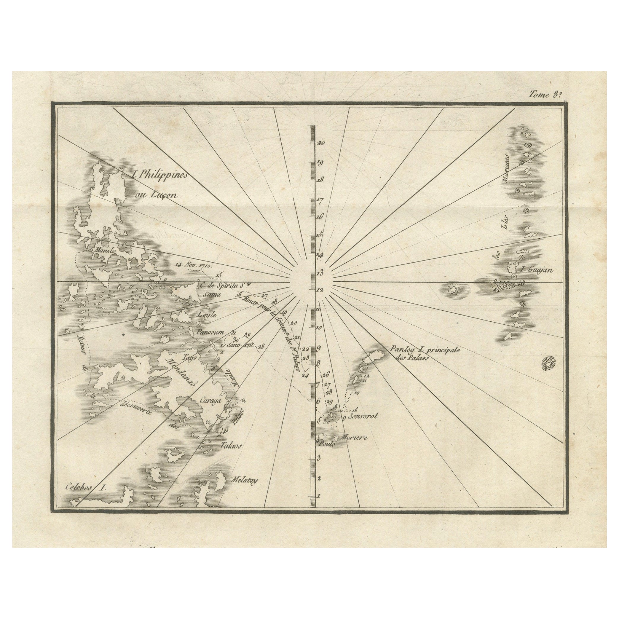
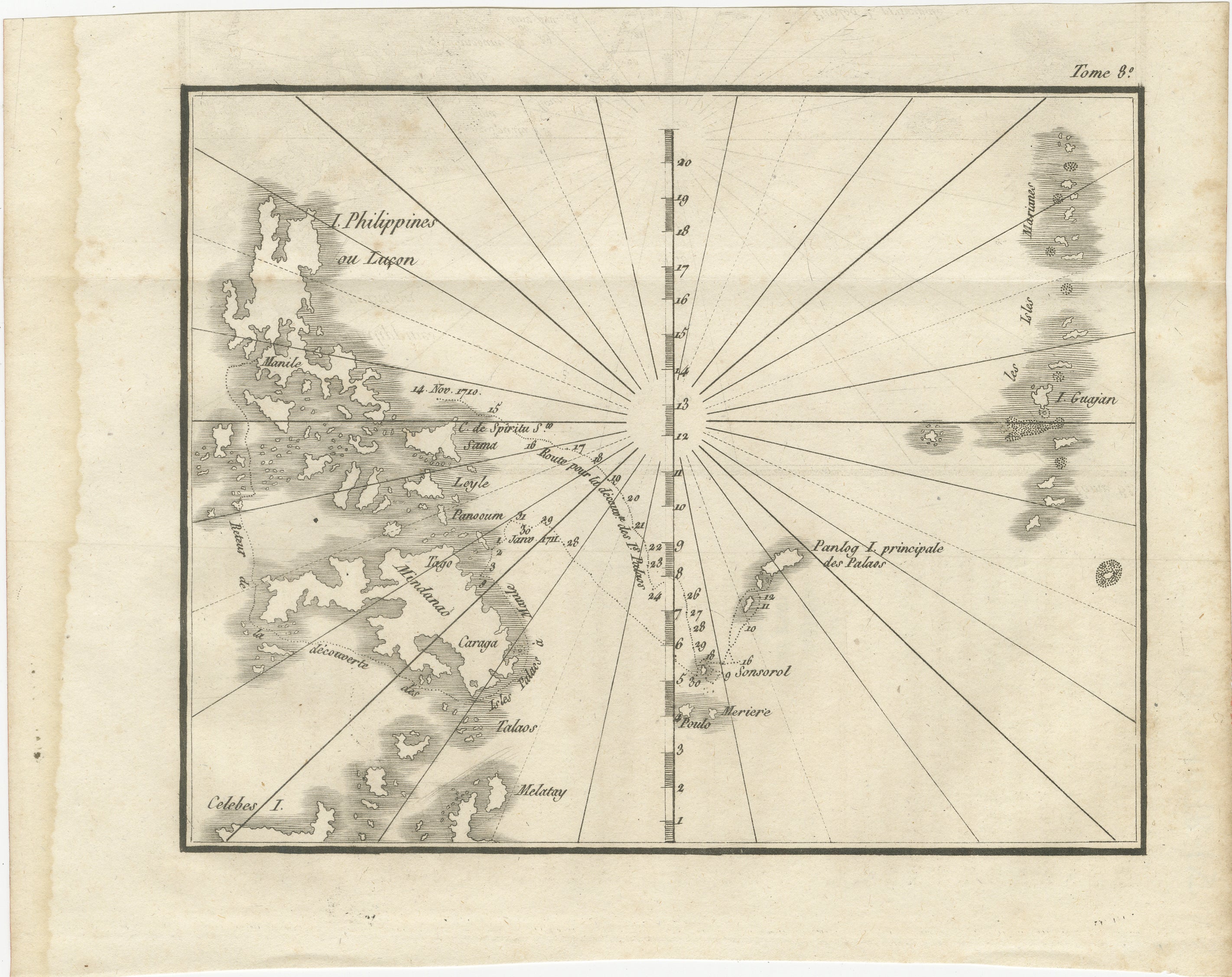
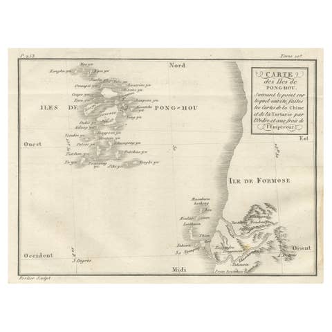
Map of the Philippines and Palau Islands – Antique French Engraving, c.1790
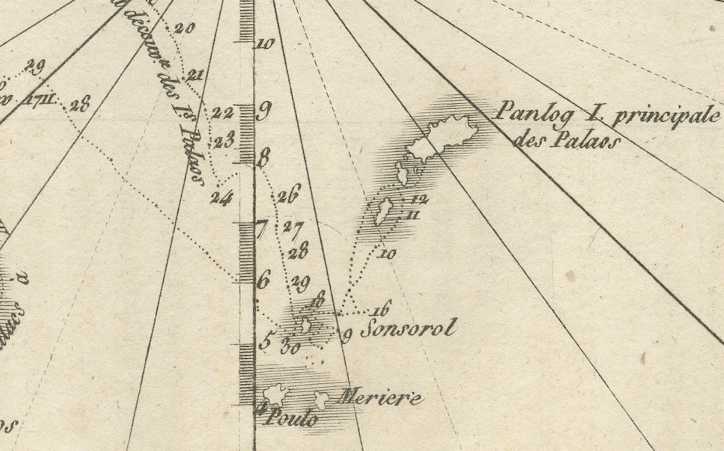
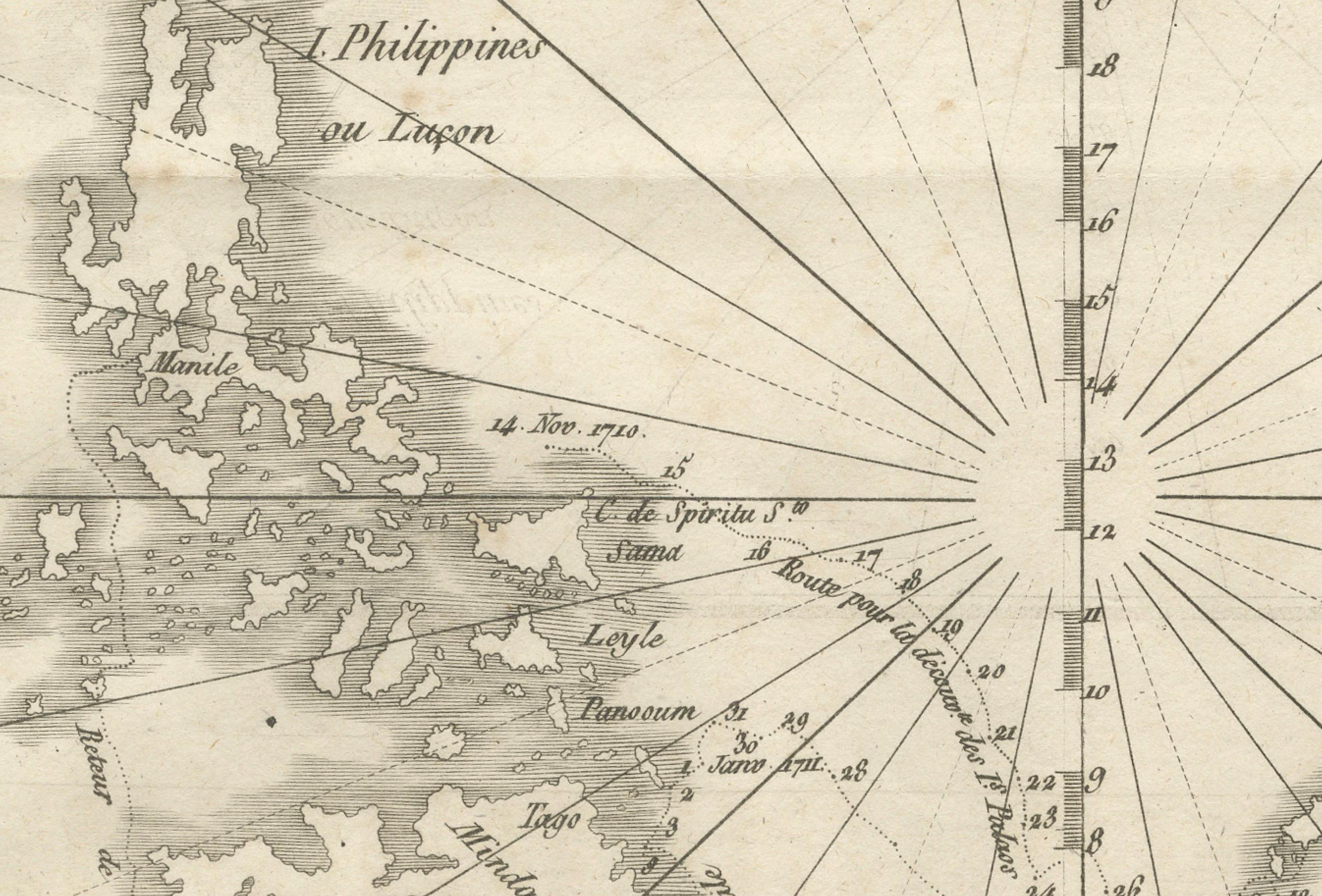
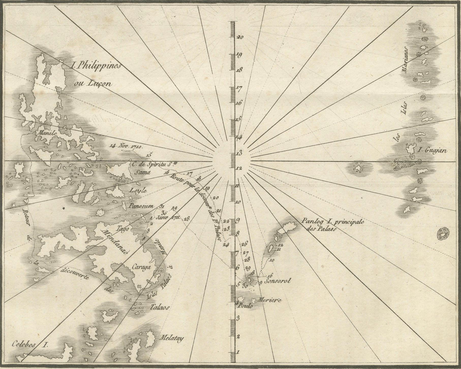
This antique French maritime chart depicts the western Pacific region between the Philippines and the Palau Islands, engraved around 1790. The map shows the eastern coastline of the Philippine archipelago, including Luzon, Leyte, Samar, Mindanao, and surrounding smaller islands, along with the Palau group to the east. Radiating rhumb lines converge on a central compass point, emphasizing the chart’s navigational purpose.
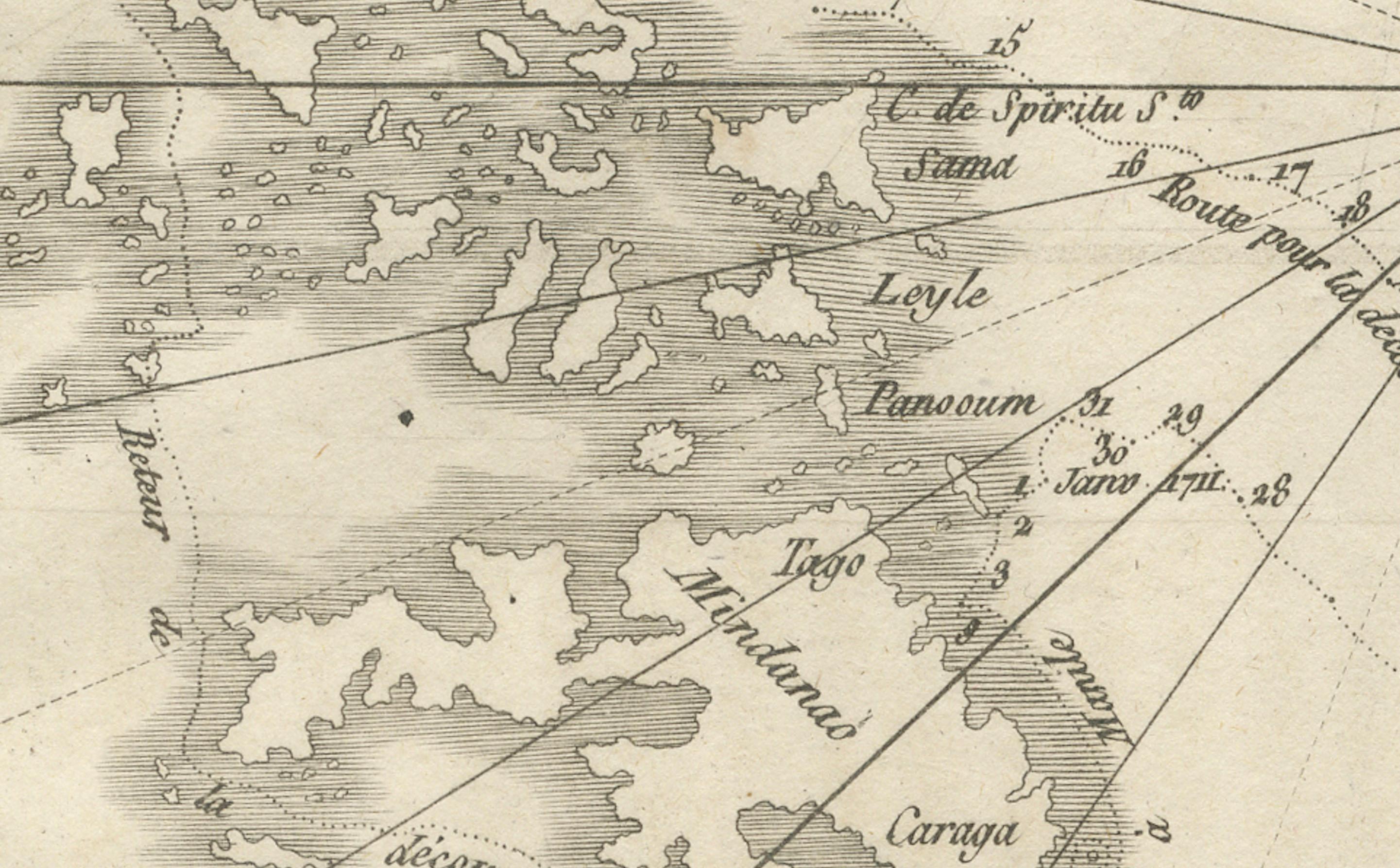
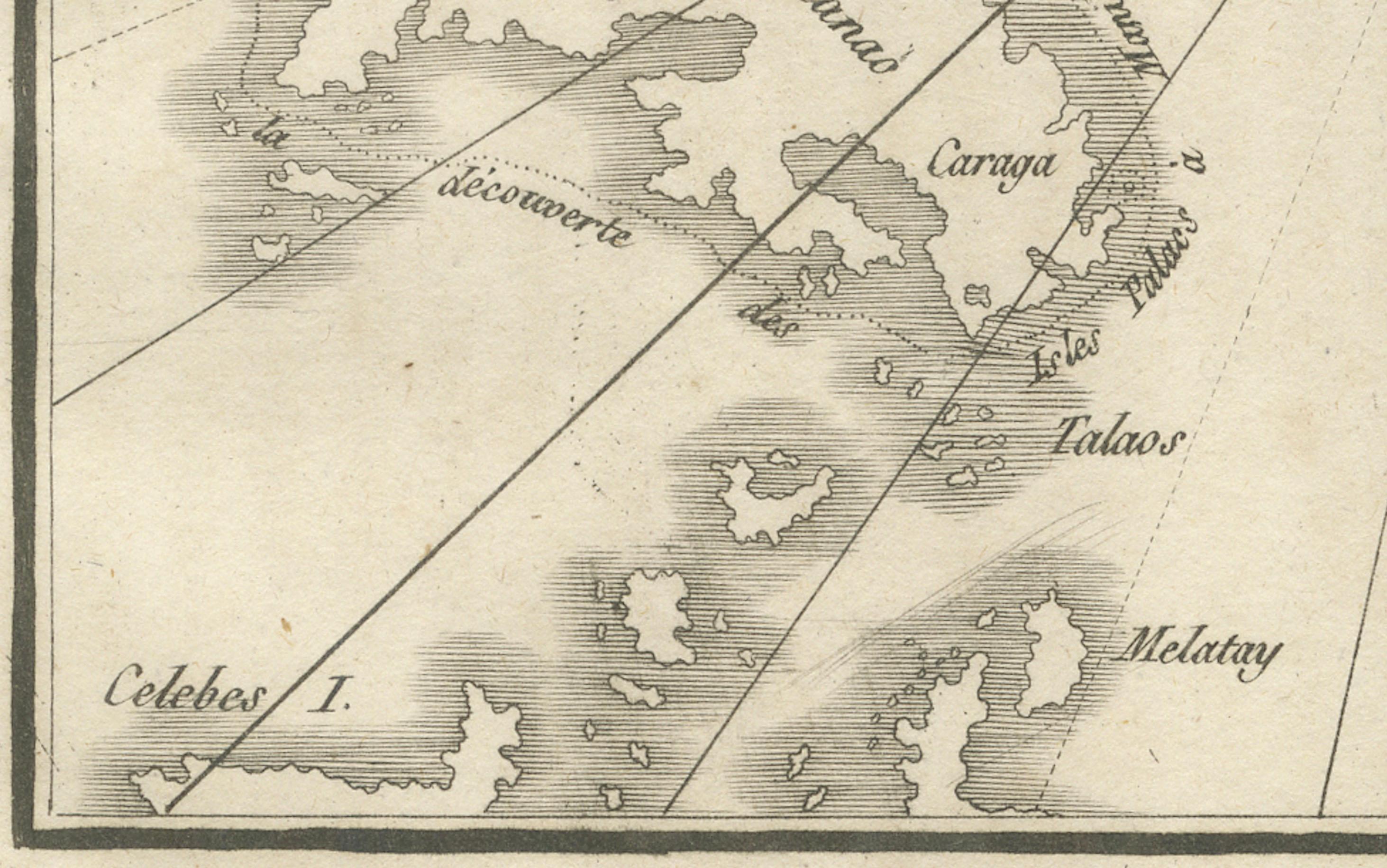
The Philippine islands are labeled with notable ports and settlements, including Manila, Leyte, Caraga, Tandag, and Zamboanga, while the Palau Islands are shown with their principal island marked as “Panloy I. principale des Palaos.” Other nearby island groups, such as the Marianas (“I. Luçon”) and smaller islets, are included, highlighting the area’s maritime connections. The chart also marks significant coastal features and passages, with latitude graduations along the central meridian aiding navigation.
This engraving reflects the French Enlightenment interest in Pacific exploration, cartography, and the mapping of remote island groups encountered by European navigators. The style suggests it was part of a larger travel or missionary work documenting the geography of Asia and Oceania for European audiences.
The clean, minimalist presentation with fine coastal outlines and sparse inland detail is characteristic of late 18th-century nautical charts, where emphasis was placed on coastal accuracy, island placement, and sailing routes rather than inland geography.
Condition report: Good condition with a strong plate mark and crisp impression. Minor toning along the fold and faint foxing at the margins. Paper is stable and well-preserved.
Framing tips: This chart would look elegant in a slim black or dark navy frame with an off-white archival mat. A double mat with a fine navy inner line could echo the maritime theme.
Technique: Engraving
Maker: Unknown French engraver, c.1790