About this sheet
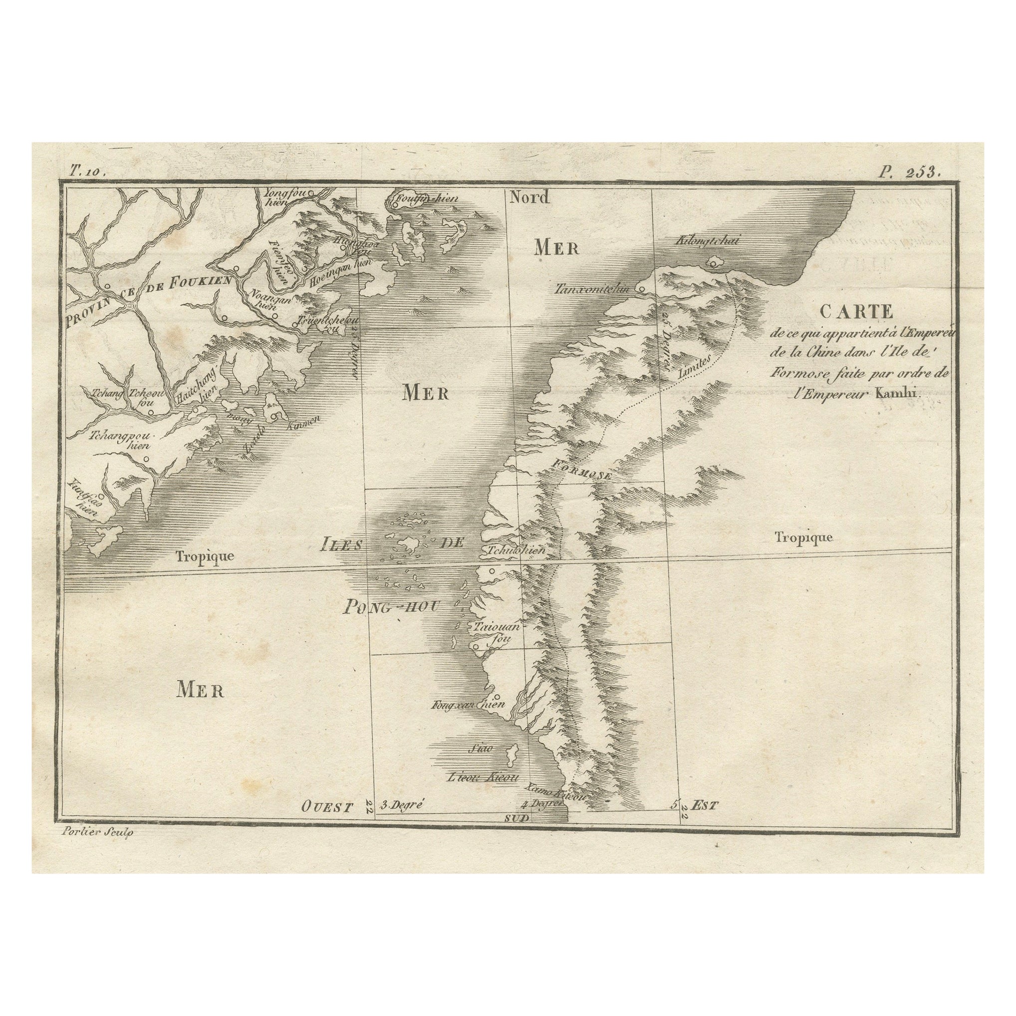
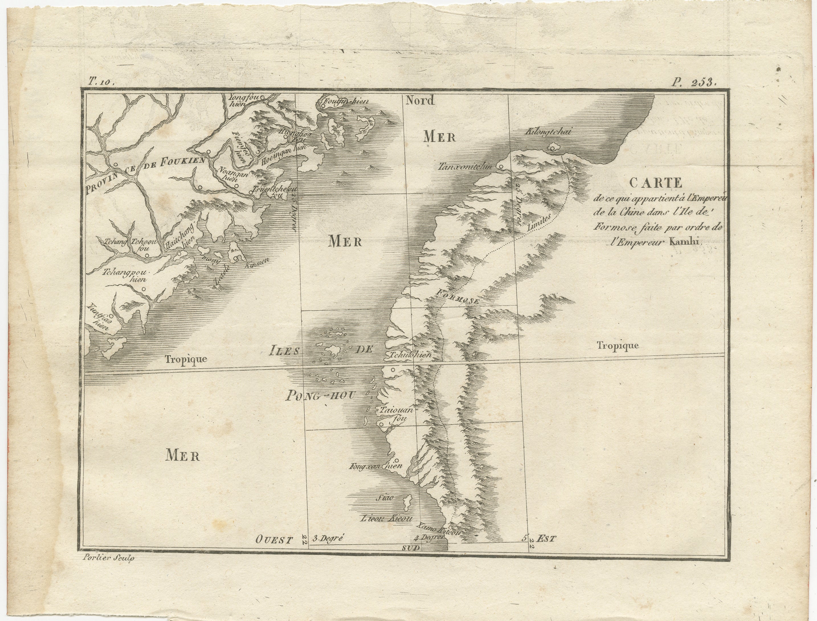
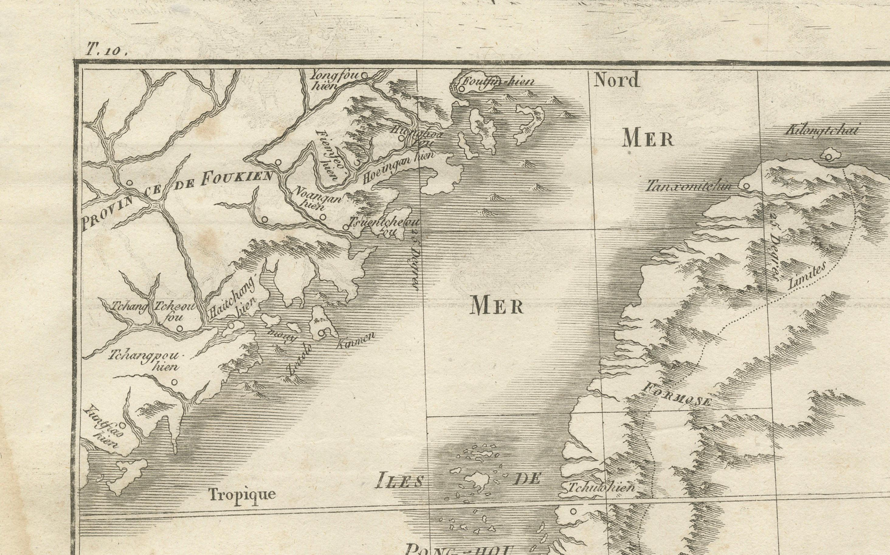
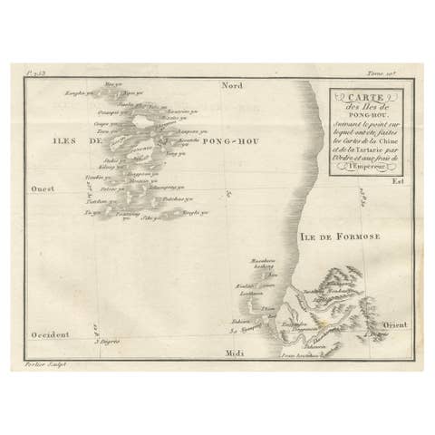
Map of Formosa and Pescadores – French Jesuit Engraving by Portier, c.1790
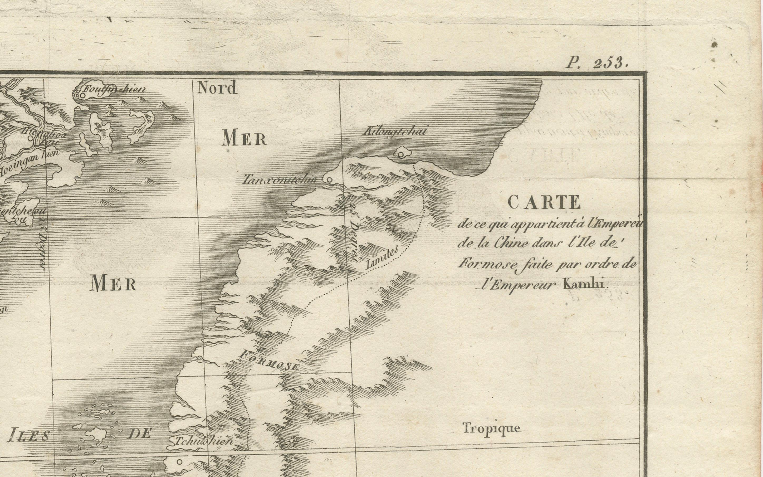
This antique French map, engraved by Portier around 1790, depicts the island of Formosa (modern Taiwan), the Pescadores Islands (Iles de Pong-Hou), and part of the Fujian coast of China. The map is titled “Carte de ce qui appartient à l’Empereur de la Chine dans l’Isle de Formose, faite par ordre de l’Empereur Kambis,” indicating it is based on surveys commissioned by the Kangxi Emperor of China.
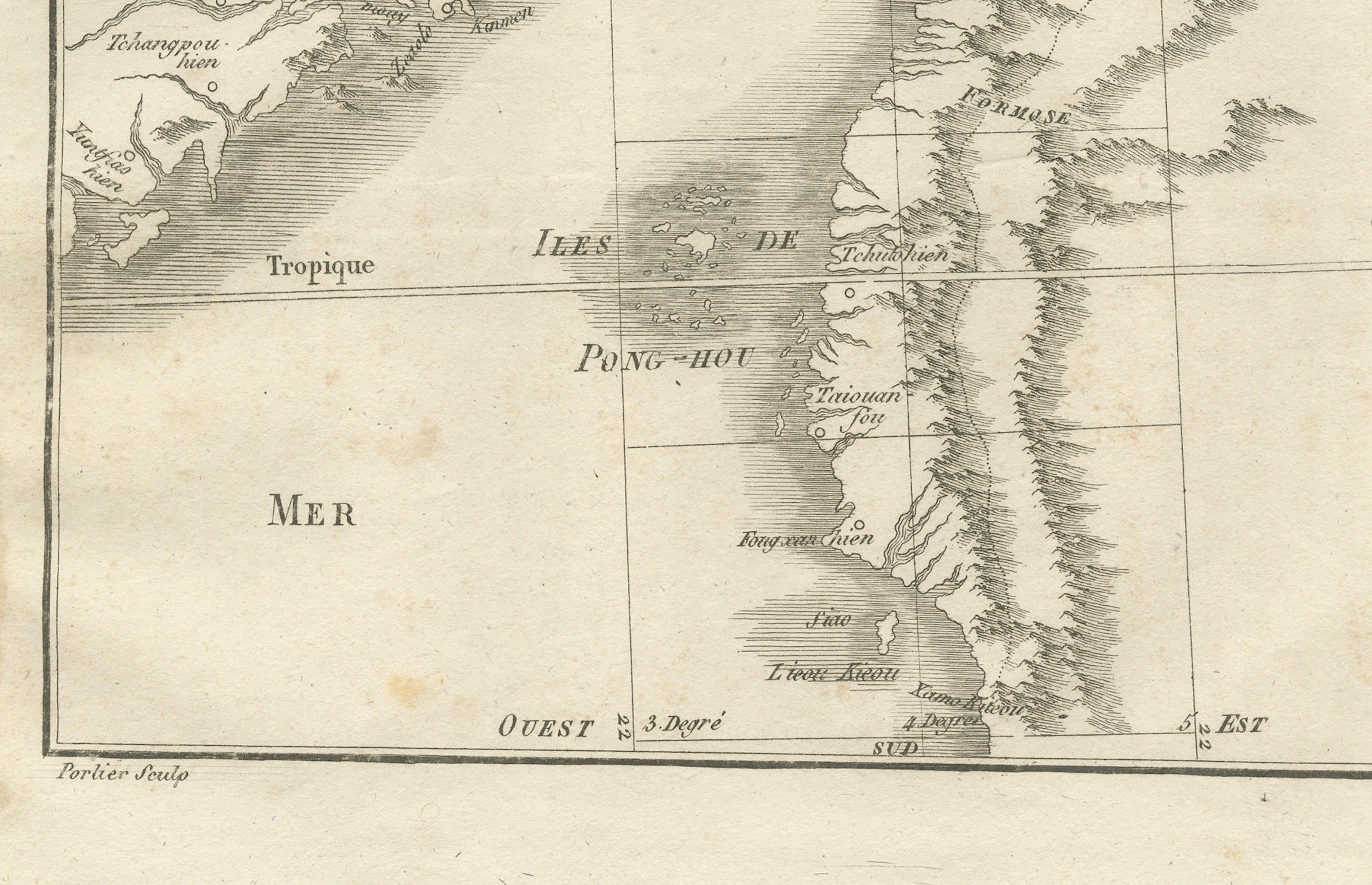
Formosa is rendered in fine detail, with mountainous terrain indicated by hachuring and key towns labeled, including Taiouan (Tainan), Teibouang, and Kiay. The Pescadores archipelago appears to the west, with several islands named. The coastline of Fujian Province to the northwest is depicted with notable ports and settlements such as Foutcheou (Fuzhou) and Amoy (Xiamen). The Tropic of Cancer is marked crossing both the island and mainland.
This map reflects the Jesuit contribution to 18th-century European cartography of East Asia, integrating data from Chinese imperial sources with European engraving techniques. Such maps were valuable to scholars, missionaries, and navigators, providing both political and geographic information about regions that were largely inaccessible to most Europeans.
The clean engraving style, neatline with degree markings, and uncluttered presentation are characteristic of late 18th-century French scientific cartography, making it both an important historical record and an attractive decorative piece.
Condition report: Good condition with a strong plate mark and crisp impression. Light foxing in the margins and a water-stain outside the left platemark. Paper remains strong and well-preserved.
Framing tips: This map would look elegant in a slim black or dark walnut frame with a cream archival mat. A fine inner grey line could complement the monochrome engraving tones.
Technique: Engraving
Maker: Portier, France, c.1790