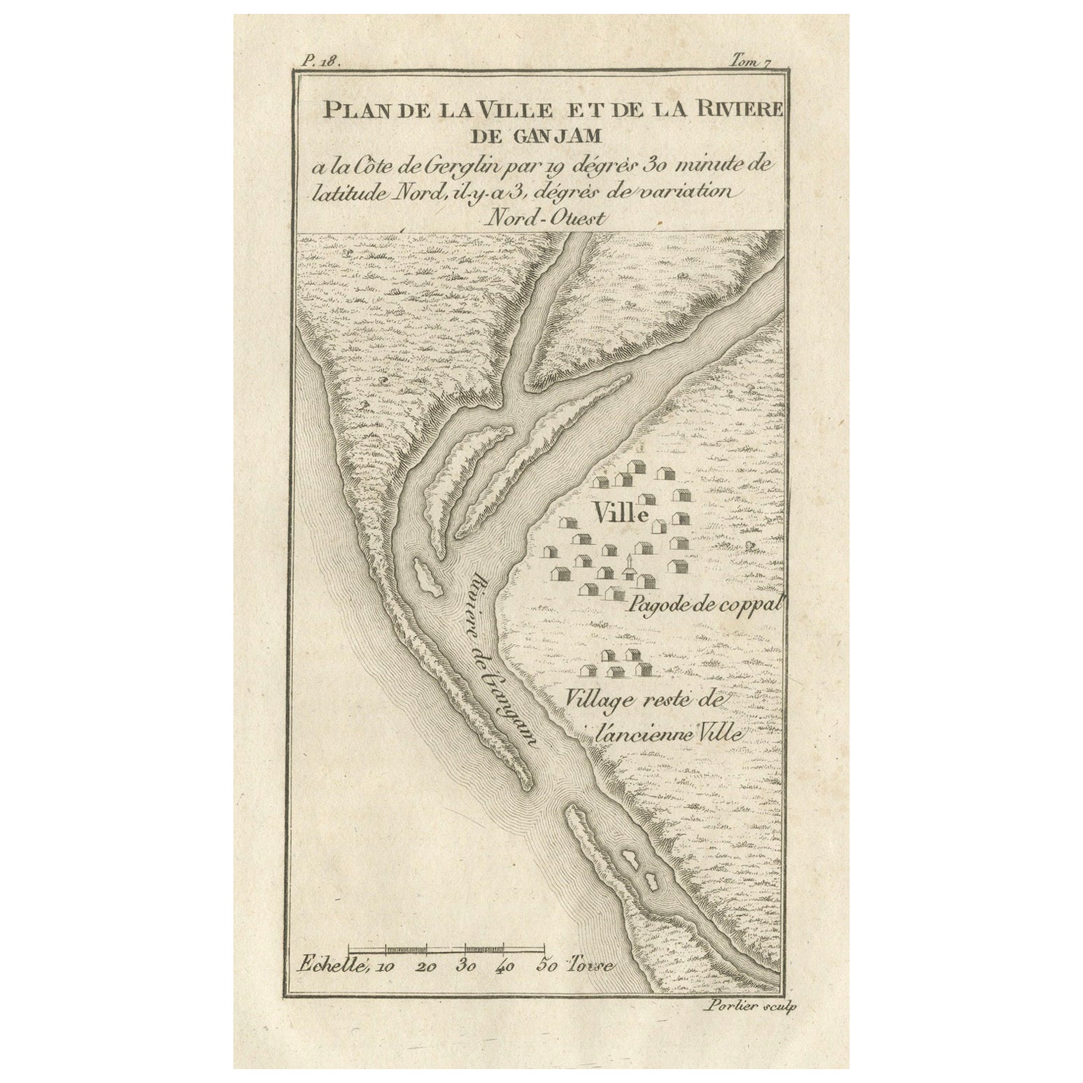
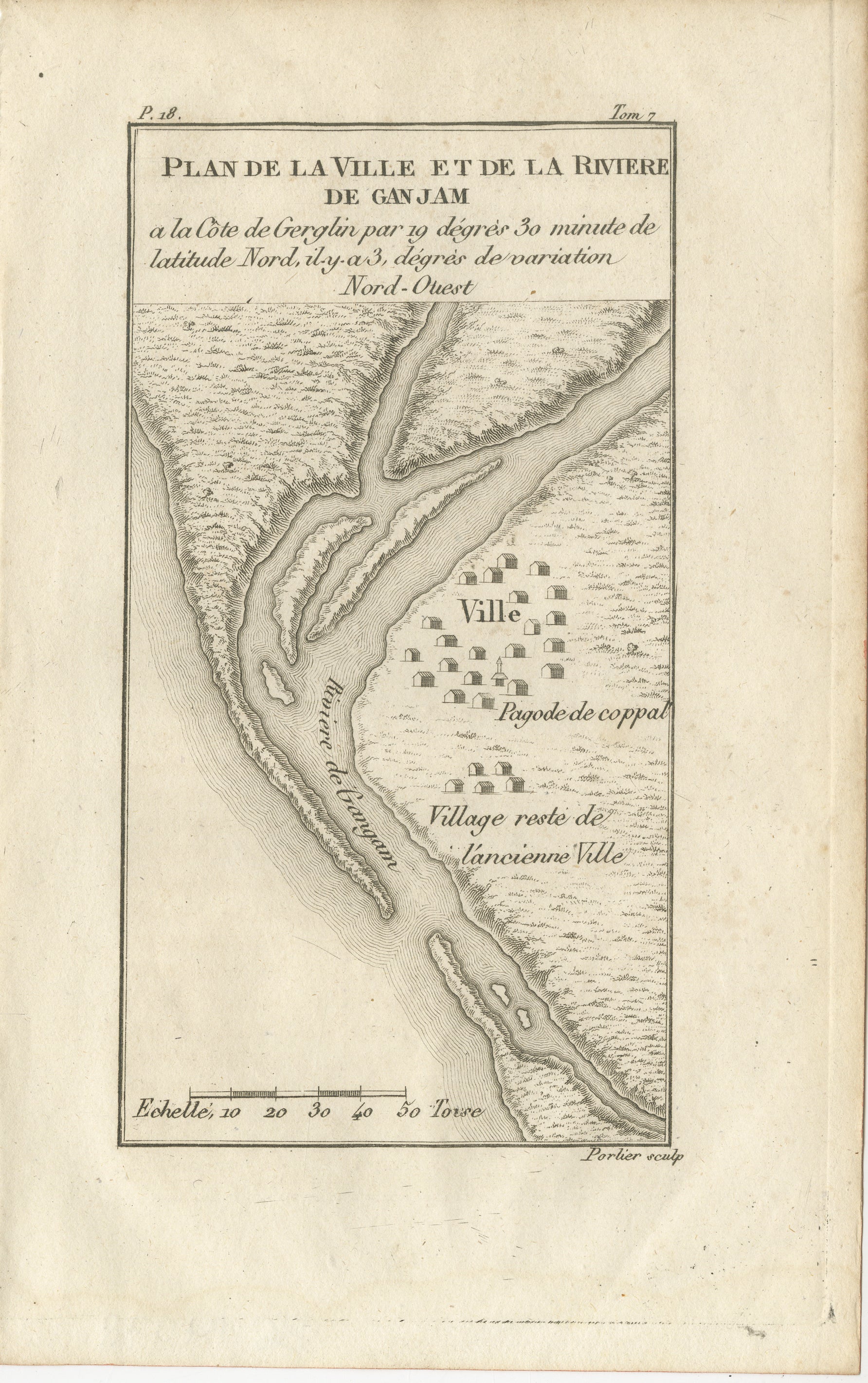
Plan of the Town and River of Ganjam, India – Antique French Map by Portier 1790
€ 240
One of a kind: this is the sheet in the photographs. Ships from Langweer, the Netherlands.
Date
1790
Sheet size
20 × 12.5 cm (7.9 × 4.9 in)
Condition
Good
Reference
BG-14078-10
Condition
Condition report: Very good condition with a visible plate mark, light toning in the margins, and a few faint foxing spots. Strong, sharp impression with excellent preservation of engraved detail.
About this sheet
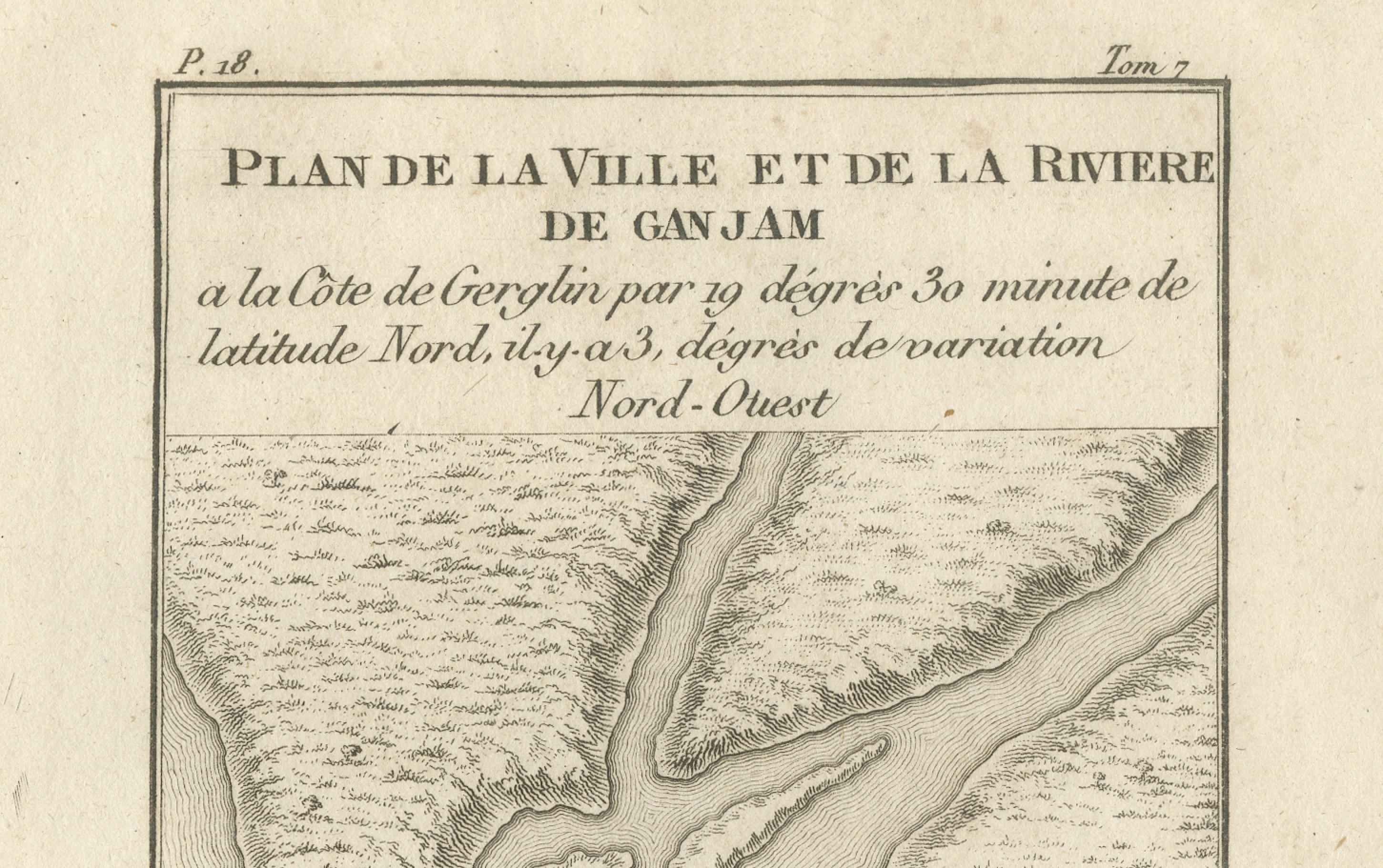
Plan of the Town and River of Ganjam, India – Antique French Map by Portier, c.1790
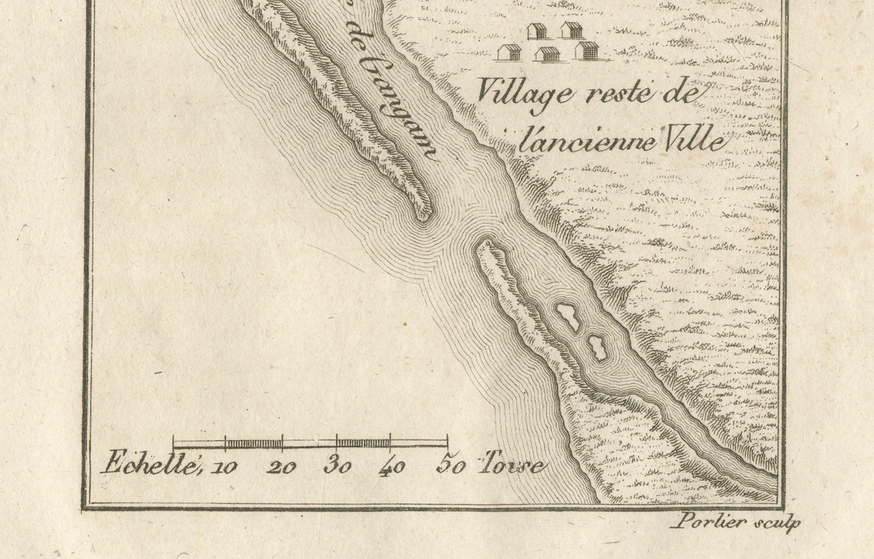
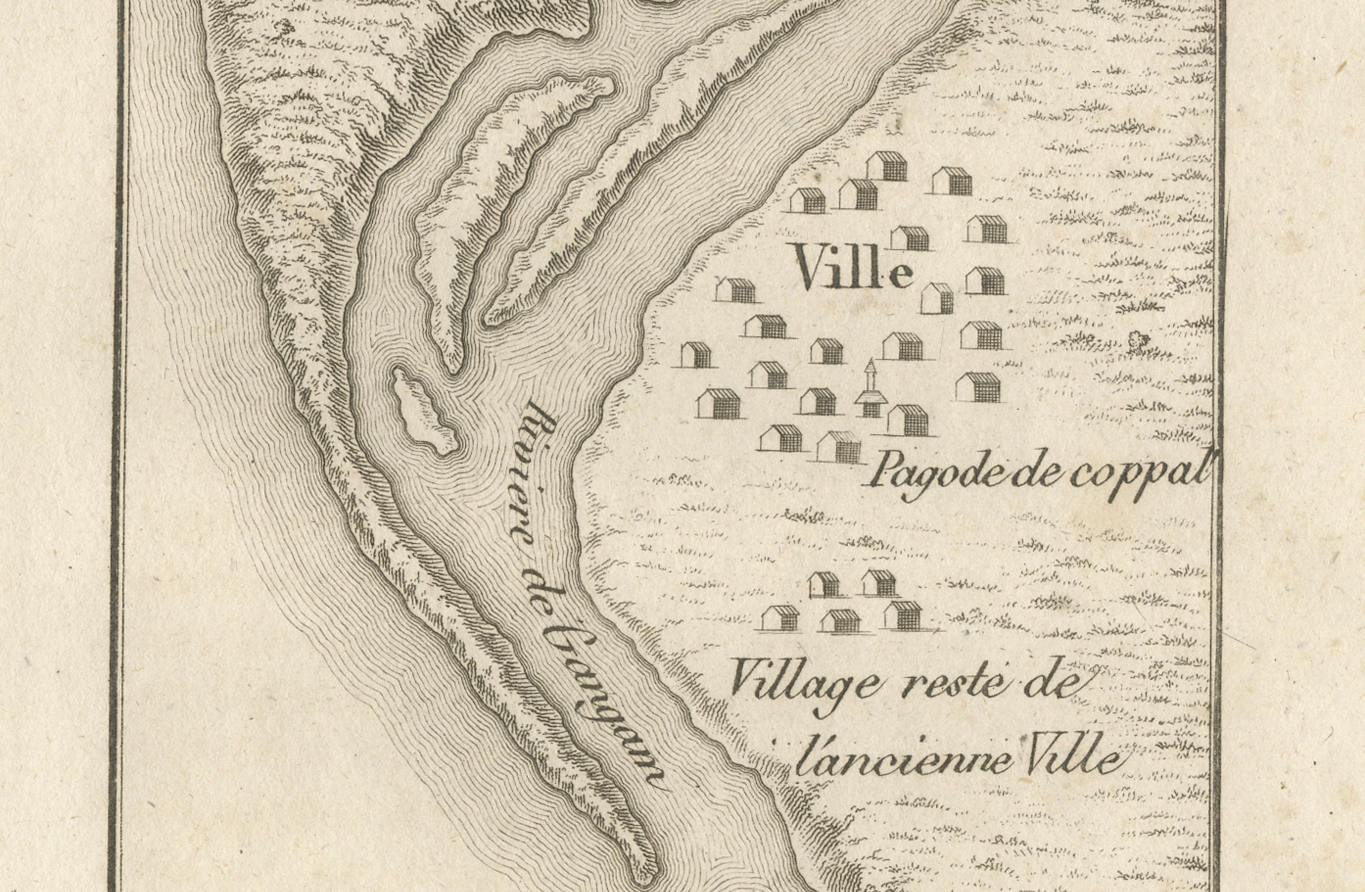
This antique French engraving shows a detailed plan of the town and river of Ganjam, located on the Coromandel Coast of India at 19°30′ N latitude. The map, engraved by Portier around 1790, depicts the mouth of the river, surrounding topography, and settlements along its banks. The town itself is marked with small rectangular symbols for buildings, including the “Pagode de Coppal” and the “Village reste de l’ancienne Ville” (village remains of the old town).
The map’s French caption records navigational information, including a magnetic variation of 3° northwest, reflecting the Jesuit and French cartographic tradition of combining geographic representation with practical maritime data. The fine hachuring along the coastlines and riverbanks suggests both elevation and terrain, while the toise scale at the bottom provides measurement in an 18th-century French unit.
Ganjam, historically an important port and administrative center, was a site of both European and local political interest during the 17th and 18th centuries. French, British, and Dutch traders were all active in the region, and such maps would have been valuable for navigation, trade, and military strategy. The inclusion of both current and former settlement sites hints at historical changes in the river’s course or the town’s location due to environmental or political shifts.
This engraving likely originates from a larger illustrated work documenting French exploration, trade, or missionary activity in Asia, reflecting the Enlightenment-era drive to compile precise geographic knowledge of distant lands.
Condition report: Very good condition with clear plate mark and strong impression. Minor toning at the edges and a few faint foxing spots in the margin. Paper remains strong and supple.
Framing tips: This map would present well in a slim black or dark brown frame with a light cream archival mat, enhancing both its clarity and fine linework.
Technique: Engraving Maker: Portier, France, c.1790