About this sheet
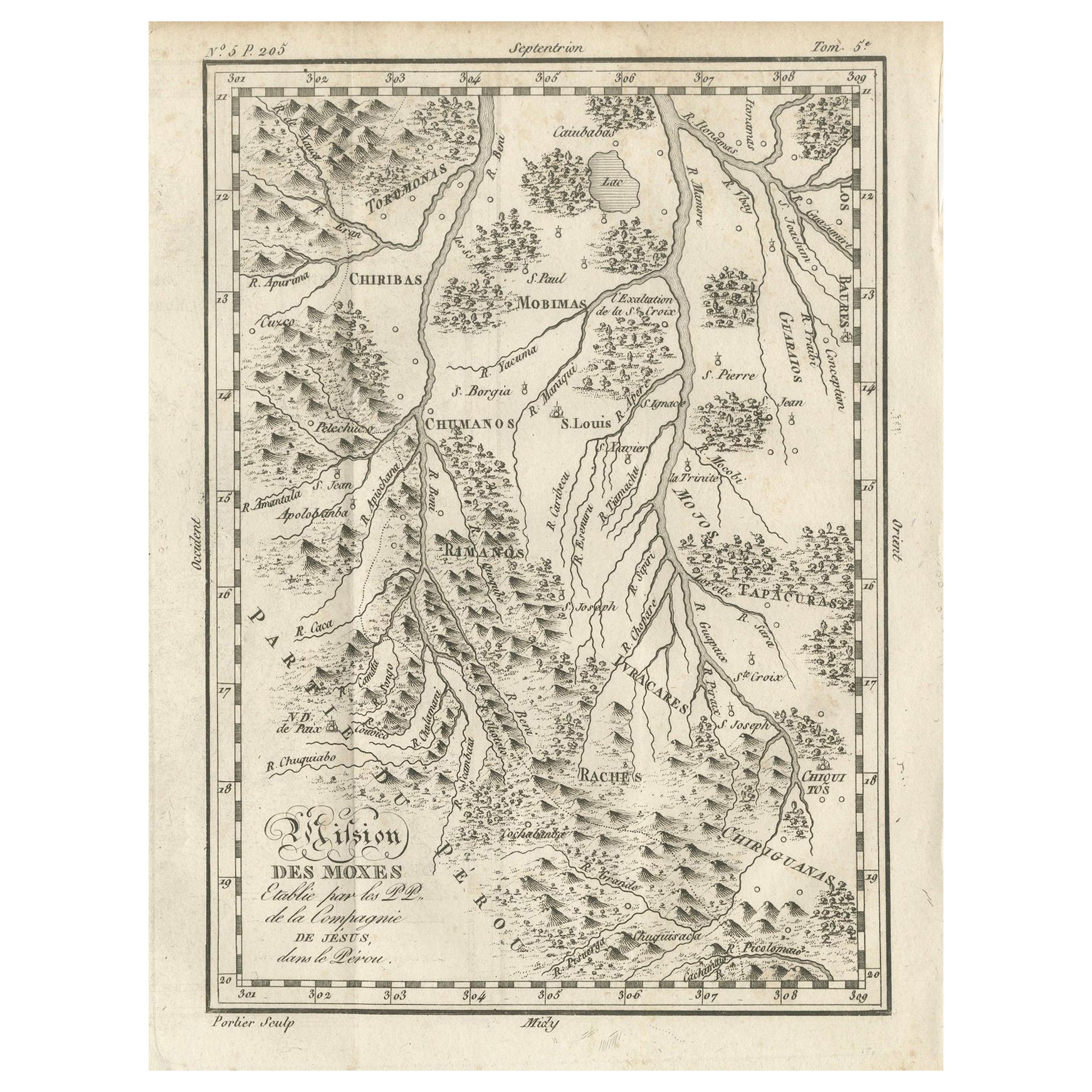
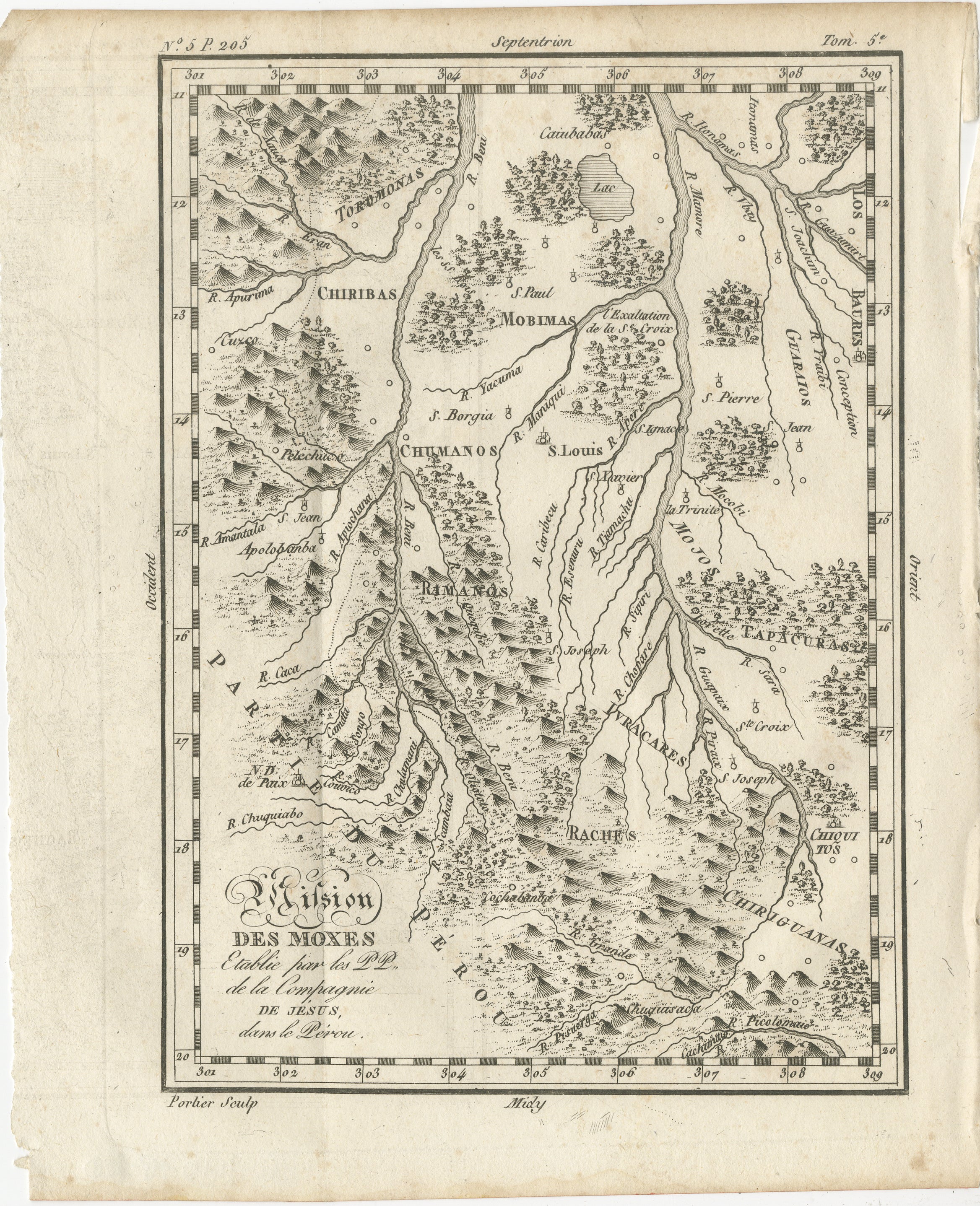
Mission of the Moxos, Peru – Antique French Jesuit Map by Portier, c.1790
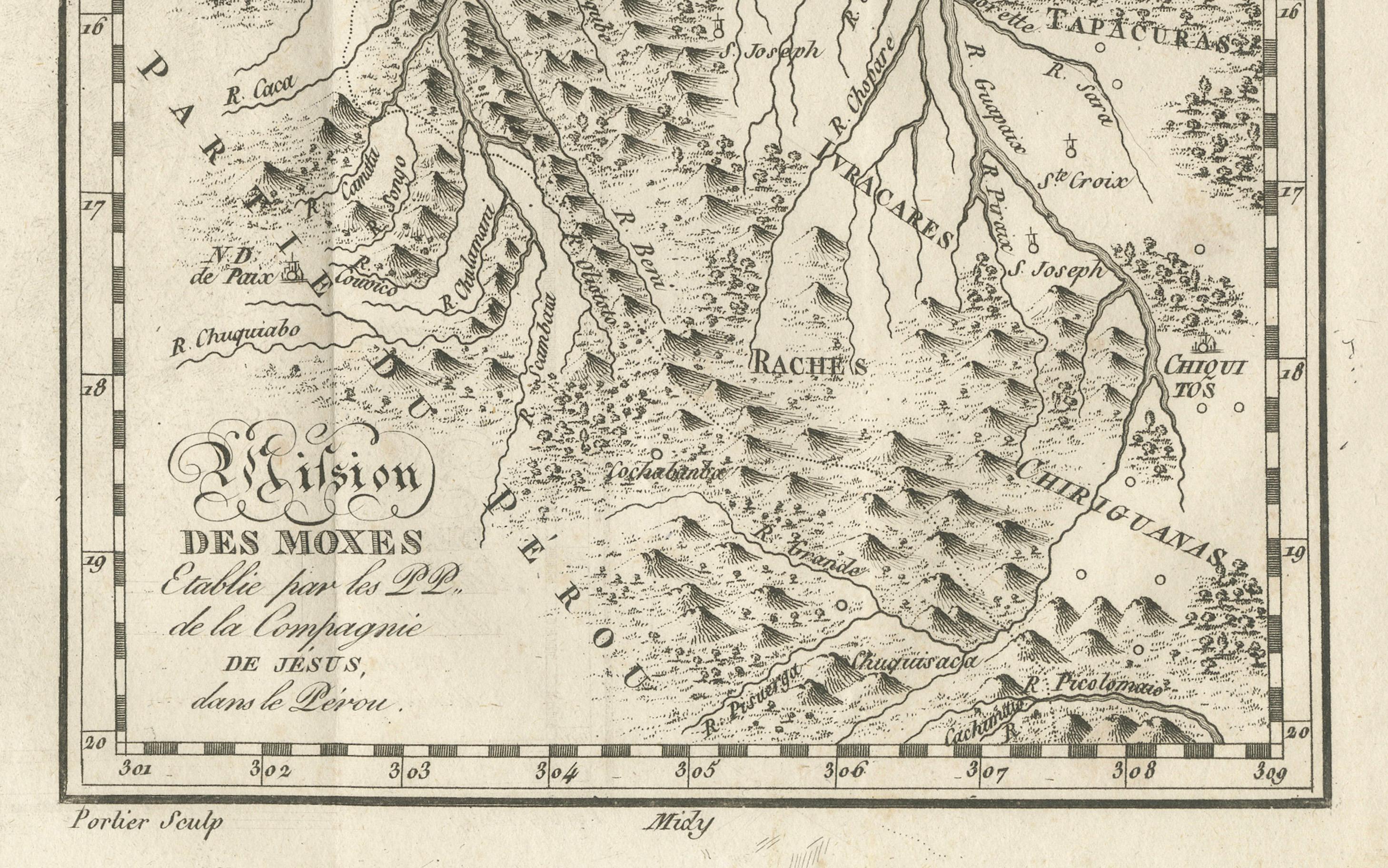
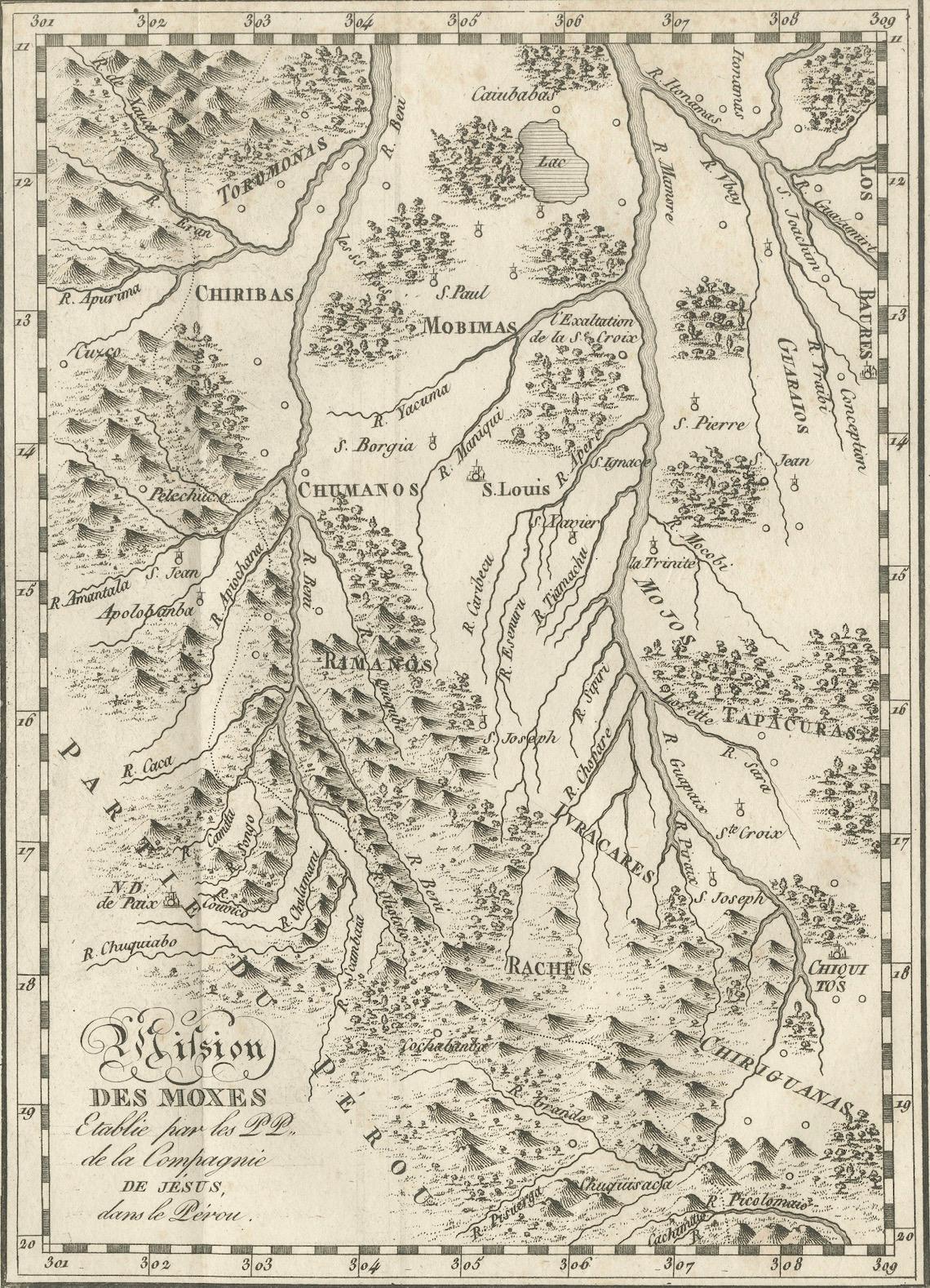
This antique French map, engraved by Portier around 1790, depicts the “Mission des Moxes” in the Viceroyalty of Peru, showing the extensive network of Jesuit mission settlements in the lowland region of present-day Bolivia. The map’s full title, translated, reads: “Mission of the Moxos established by the Fathers of the Society of Jesus in Peru.”
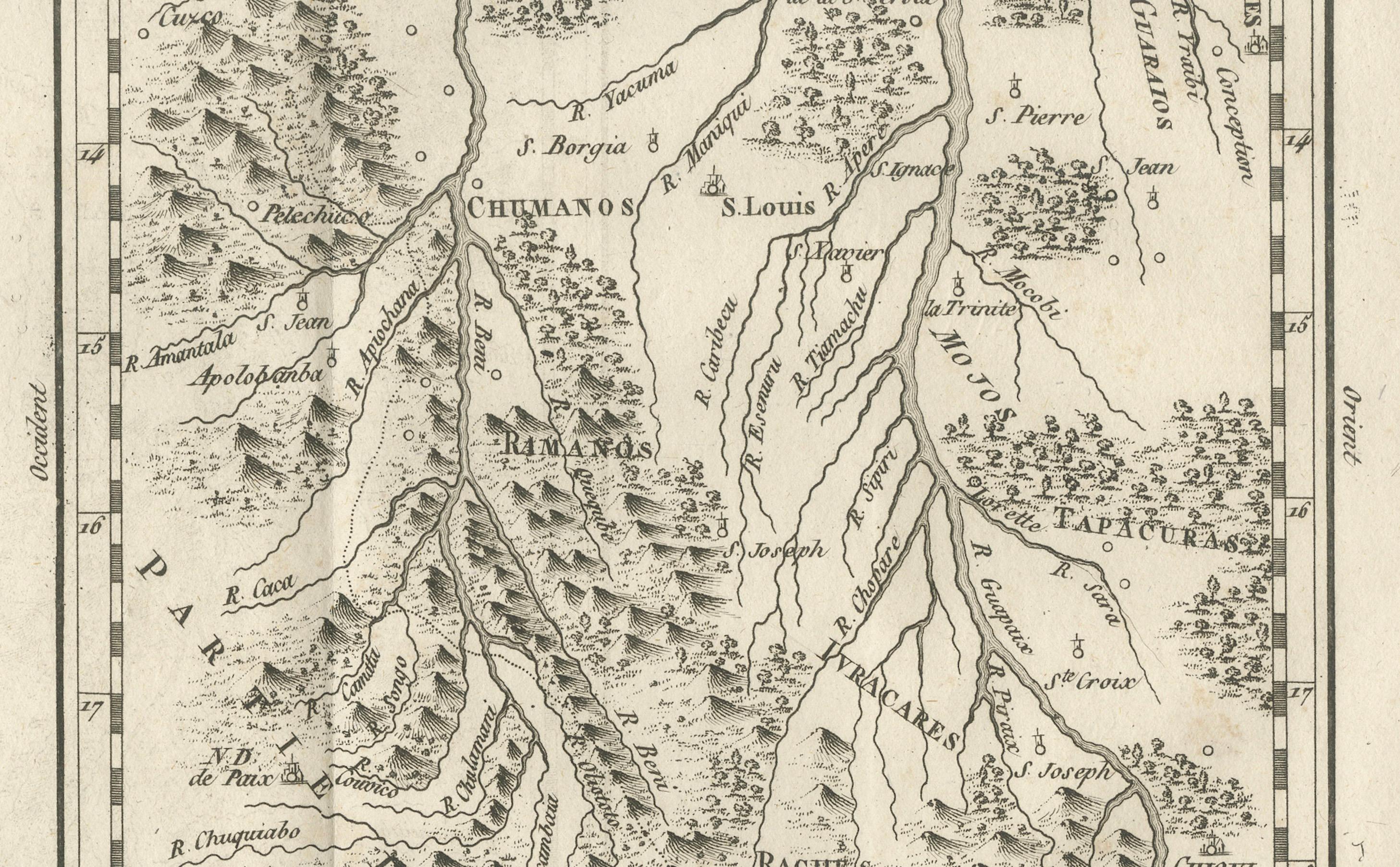
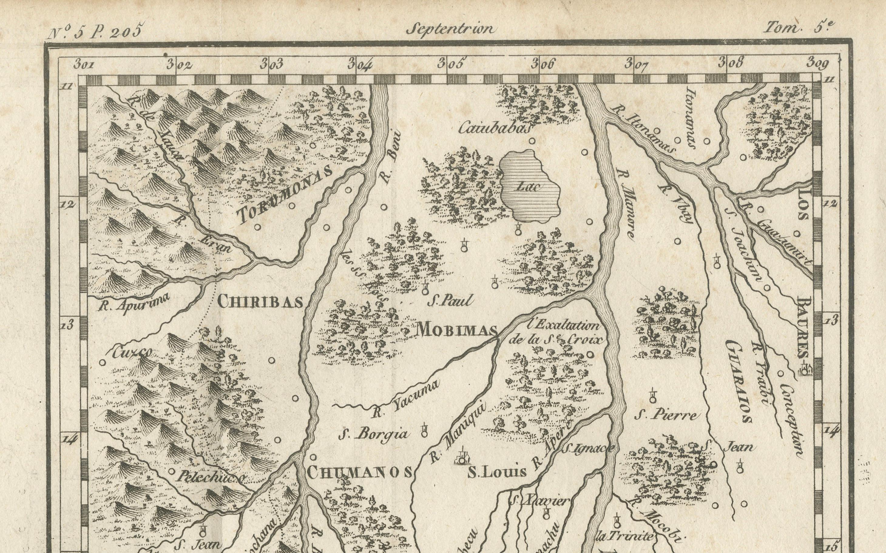
The engraving provides a detailed geographic representation of the region’s rivers, mountain ranges, and indigenous territories, with mission towns clearly labeled, including San Pedro, San Miguel, San Pablo, Santa Ana, San Ignacio, San José, San Borja, and many others. The Moxos (or Mojos) region was one of the most important centers of Jesuit missionary activity in South America during the 17th and 18th centuries, where the Fathers worked to convert, educate, and organize local indigenous communities into self-sustaining settlements.
The map is richly detailed, with careful hachuring to indicate mountainous terrain, and decorative flourishes such as a title cartouche and neatline coordinates. The placement of rivers such as the Mamoré and Beni, along with tributaries and smaller waterways, reflects the central role of river travel and trade in the region.
By the time this map was published, the Jesuits had been expelled from Spanish America (1767), but their mission settlements continued to function for some time under other administration. As such, this engraving serves as both a geographic record and a historical testament to the Jesuit presence in South America.
Condition report: Good condition with a strong plate mark and clear impression. Light toning and faint foxing, mostly in margins. Slight wear to lower left corner not affecting the image.
Framing tips: This map would look excellent in a simple black or dark walnut frame with a light cream archival mat. A gold inner slip could add an elegant historical touch.
Technique: Engraving
Maker: Portier, France, c.1790