About this sheet
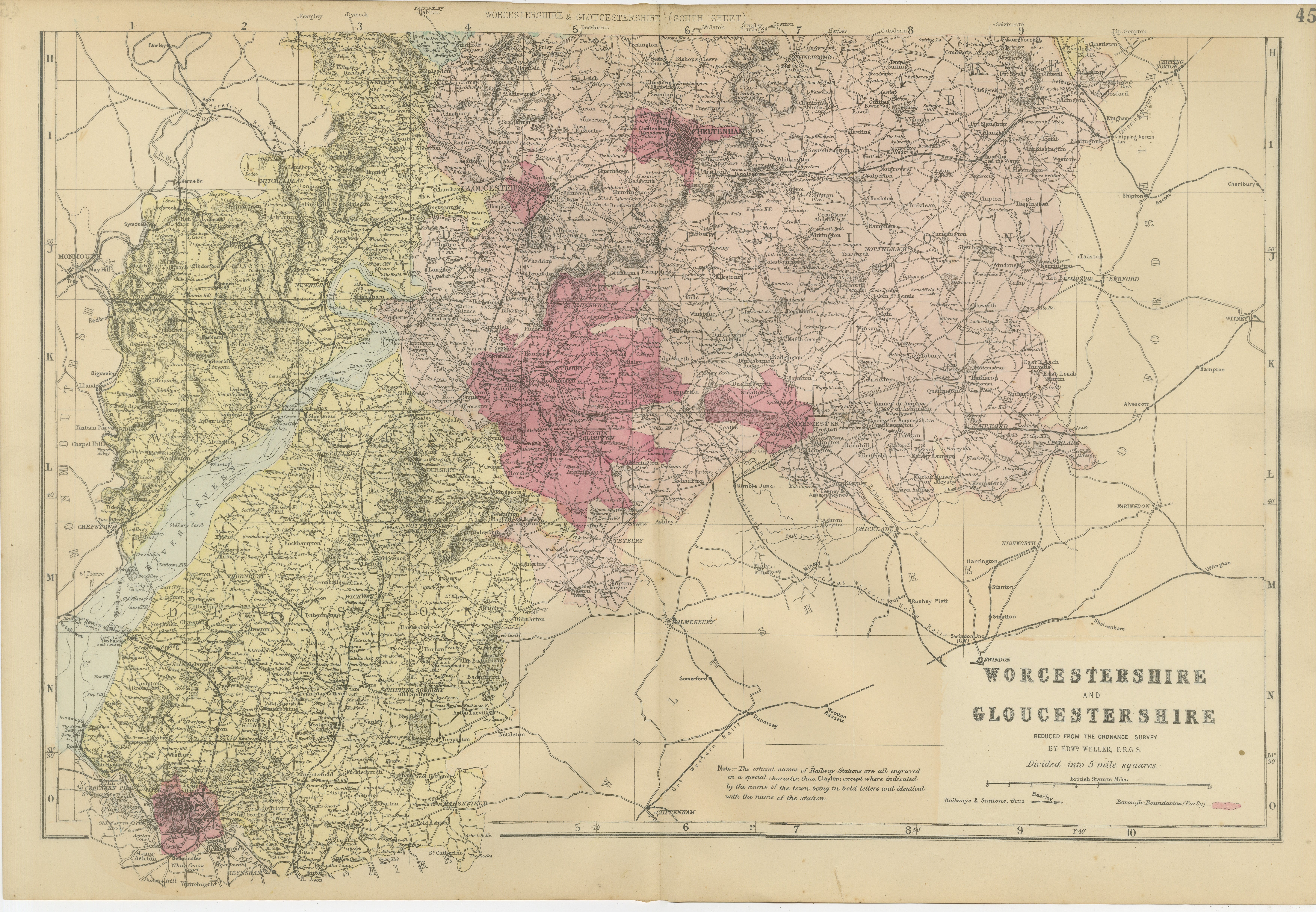
Worcestershire & Gloucestershire South Sheet Map – Edward Weller, 1885
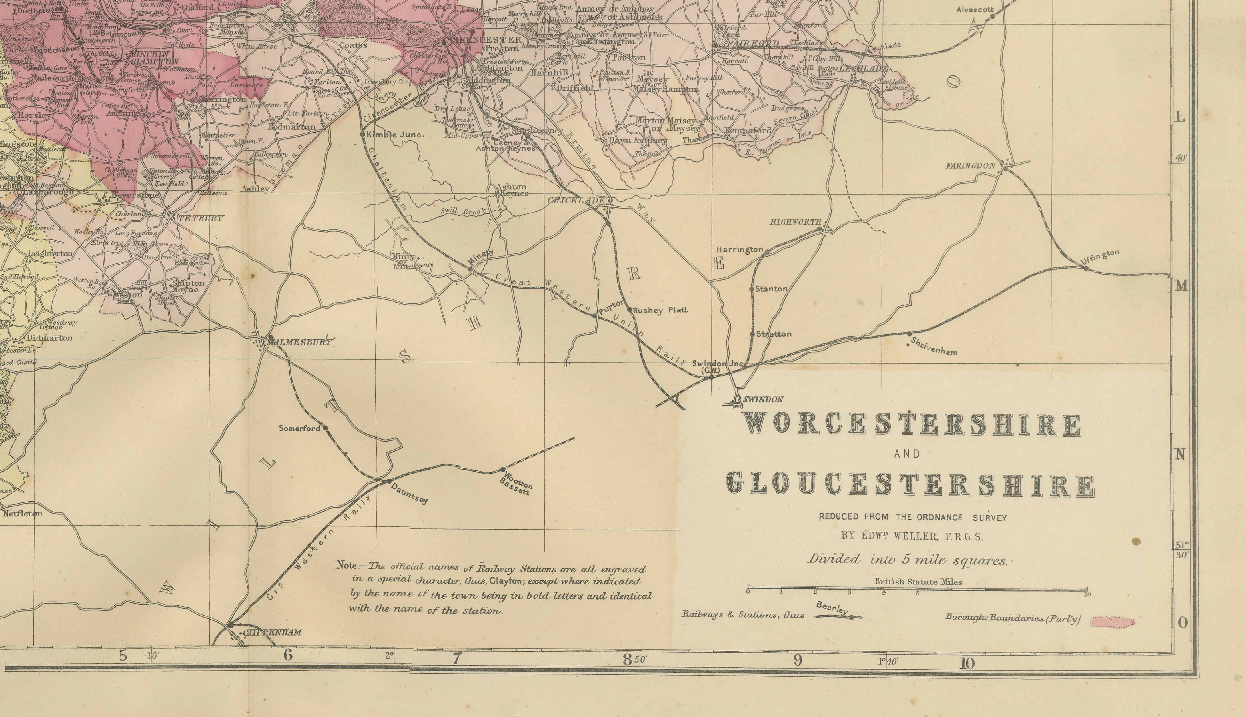
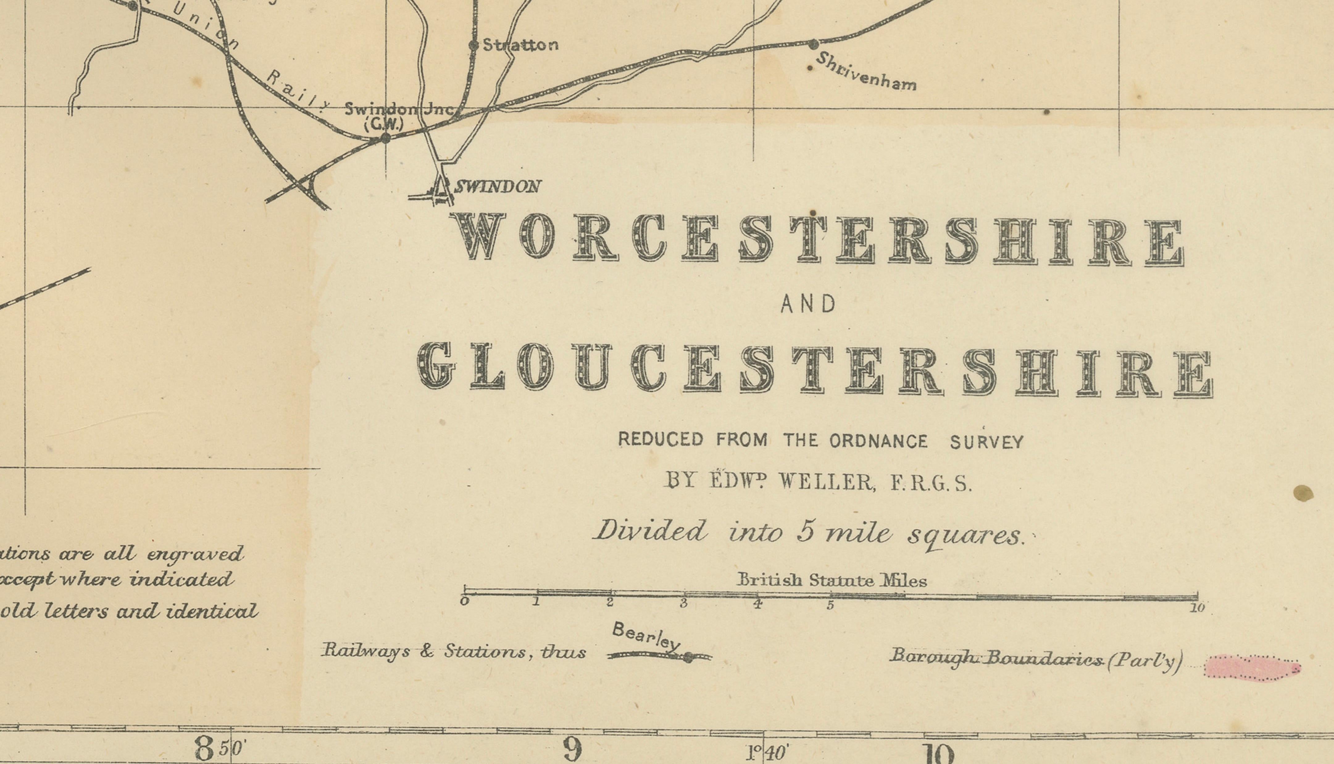
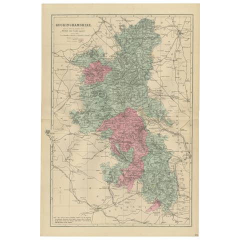
This finely detailed original Victorian county map of Worcestershire and Gloucestershire was engraved and published by Edward Weller in London in 1885. Based upon the Ordnance Survey, this South Sheet complements Weller's larger mapping of the region and provides a remarkably detailed view of the southern portions of these historic English counties during the height of the Victorian era.
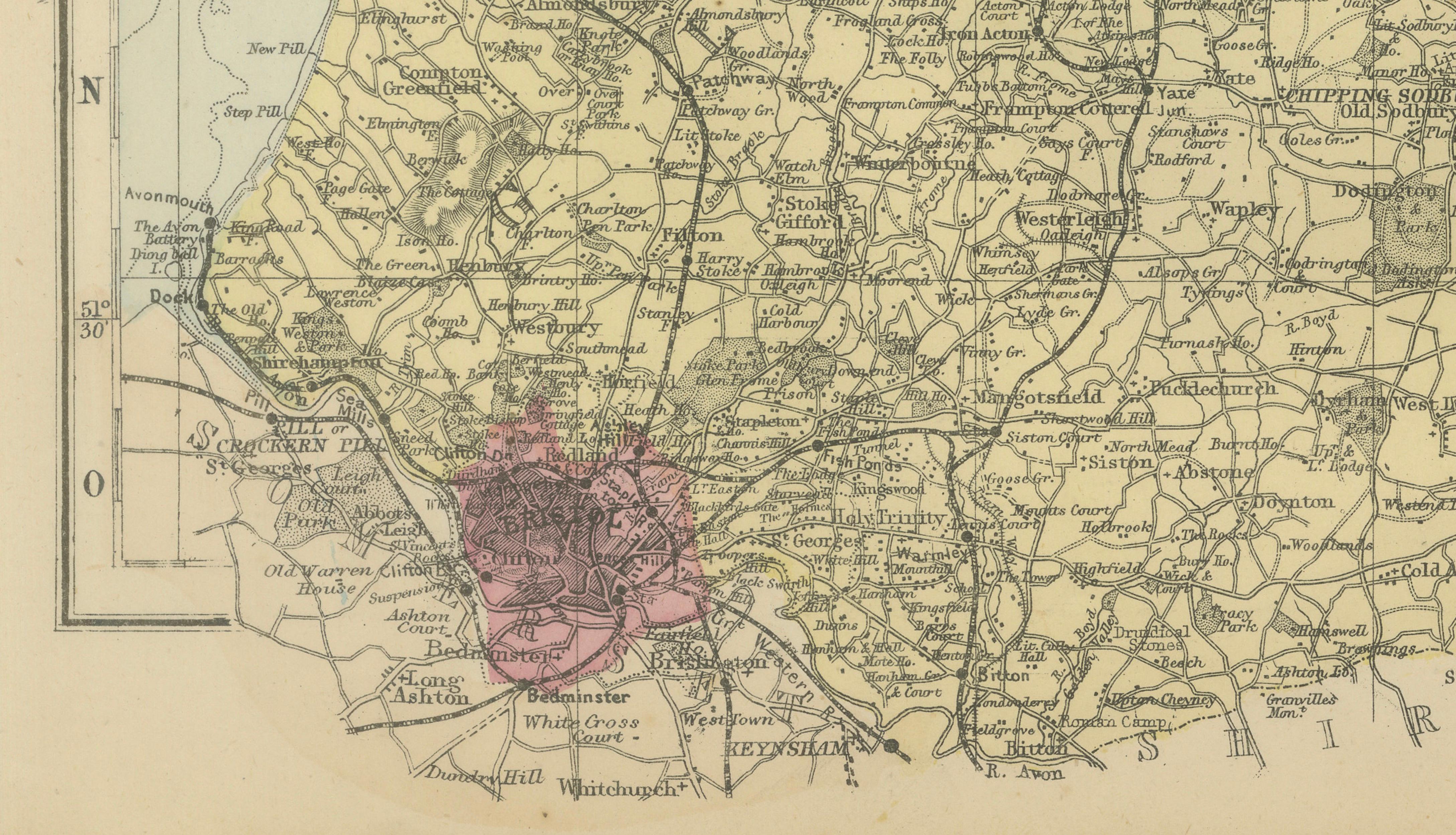
The map combines exceptional geographical accuracy with attractive original hand coloring, highlighting borough boundaries and administrative divisions. Roads, railways, rivers, market towns, villages, and county boundaries are depicted with the precision that made Edward Weller one of the most respected cartographers of nineteenth-century Britain.
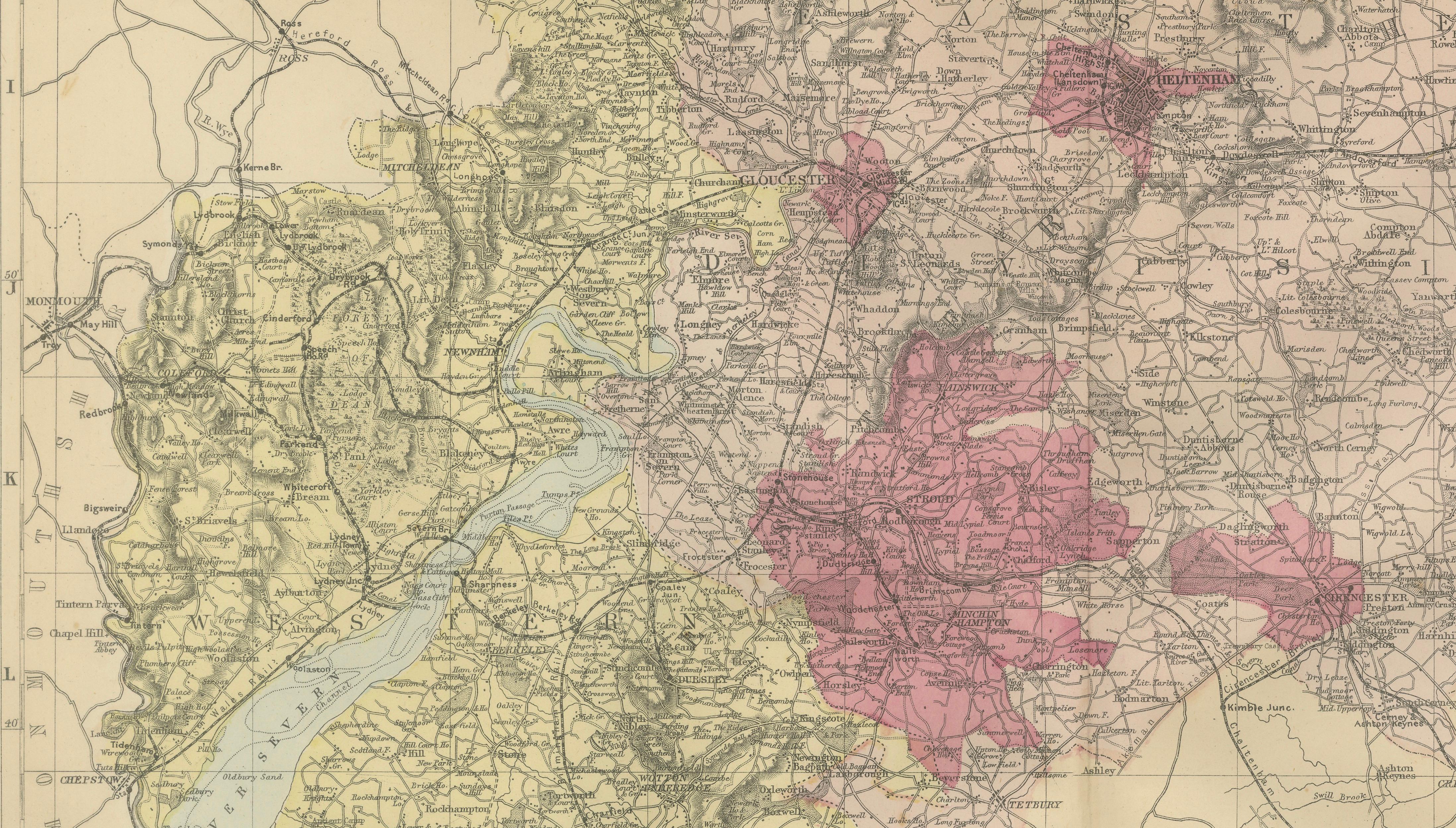
The western side of the map includes the picturesque Forest of Dean, one of England's oldest surviving woodlands and a region famous for mining, forestry, and royal hunting traditions. The River Severn winds through the landscape, forming one of Britain's most important waterways and connecting many of the region's historic settlements.
Among the principal towns and cities shown are Gloucester, known as the "Cathedral City"; Cheltenham, celebrated as one of England's finest Regency spa towns; Cirencester, often called the "Capital of the Cotswolds"; Tewkesbury, renowned for its magnificent abbey and medieval history; Stroud; Fairford; Tetbury; Chipping Campden; Moreton-in-Marsh; Newent; Cinderford; Coleford; and numerous villages scattered throughout the Cotswold Hills and Severn Valley.
The map also illustrates the extensive Victorian railway network that connected Gloucestershire and Worcestershire with London, Birmingham, Bristol, and the industrial Midlands. These transport links transformed the region's economy and encouraged the growth of tourism, particularly in the fashionable spa town of Cheltenham and throughout the Cotswolds.
Particularly appealing is the depiction of the Cotswolds, today one of England's most celebrated rural landscapes. The map captures the area before modern development, preserving a historical record of villages, roads, and agricultural land patterns that have shaped the region for centuries.
This map is both an important historical document and a highly decorative example of Victorian cartography. It appeals to collectors of British county maps, Cotswold history, railway history, genealogy, local history, and antique maps of England.
Condition: Good condition for its age, with light age toning, minor foxing, and the original center fold as issued. Please examine the photographs carefully for complete condition details.
Framing Tips: This map displays beautifully in a dark walnut, black, or mahogany frame with an ivory museum mat. The subtle hand coloring and intricate Victorian engraving work particularly well in a traditional library, study, country house, or classic English interior.
This is an original 19th-century lithograph, not a reproduction. All items we offer are authentic period works of art over 100 years old. The print is sold unframed; any framed images are shown for presentation and interior inspiration only.
Technique: Lithograph with original hand color
Maker: Edward Weller, London, 1885
Keywords: Worcestershire, Gloucestershire, Forest of Dean, River Severn, Gloucester, Cathedral City, Cheltenham, Regency Spa Town, Cirencester, Capital of the Cotswolds, Cotswolds, Tewkesbury, Stroud, Fairford, Tetbury, Chipping Campden, Moreton-in-Marsh, Newent, Coleford, Cinderford, Winchcombe, Stow-on-the-Wold, Bourton-on-the-Water, Lechlade, Severn Valley, Victorian England, English Counties, County Map, Railway Map, Ordnance Survey, Antique British Map, Edward Weller, Gloucestershire Map, Worcestershire Map, Cotswold Map, English Cartography, Local History, Genealogy, Original Antique Map, 19th Century England, British Heritage, Historic Counties, Victorian Cartography, Rural England, Market Towns of England.