About this sheet
Decorative Maps of Cambridge and Oxford, Victorian University City Plans, 1885
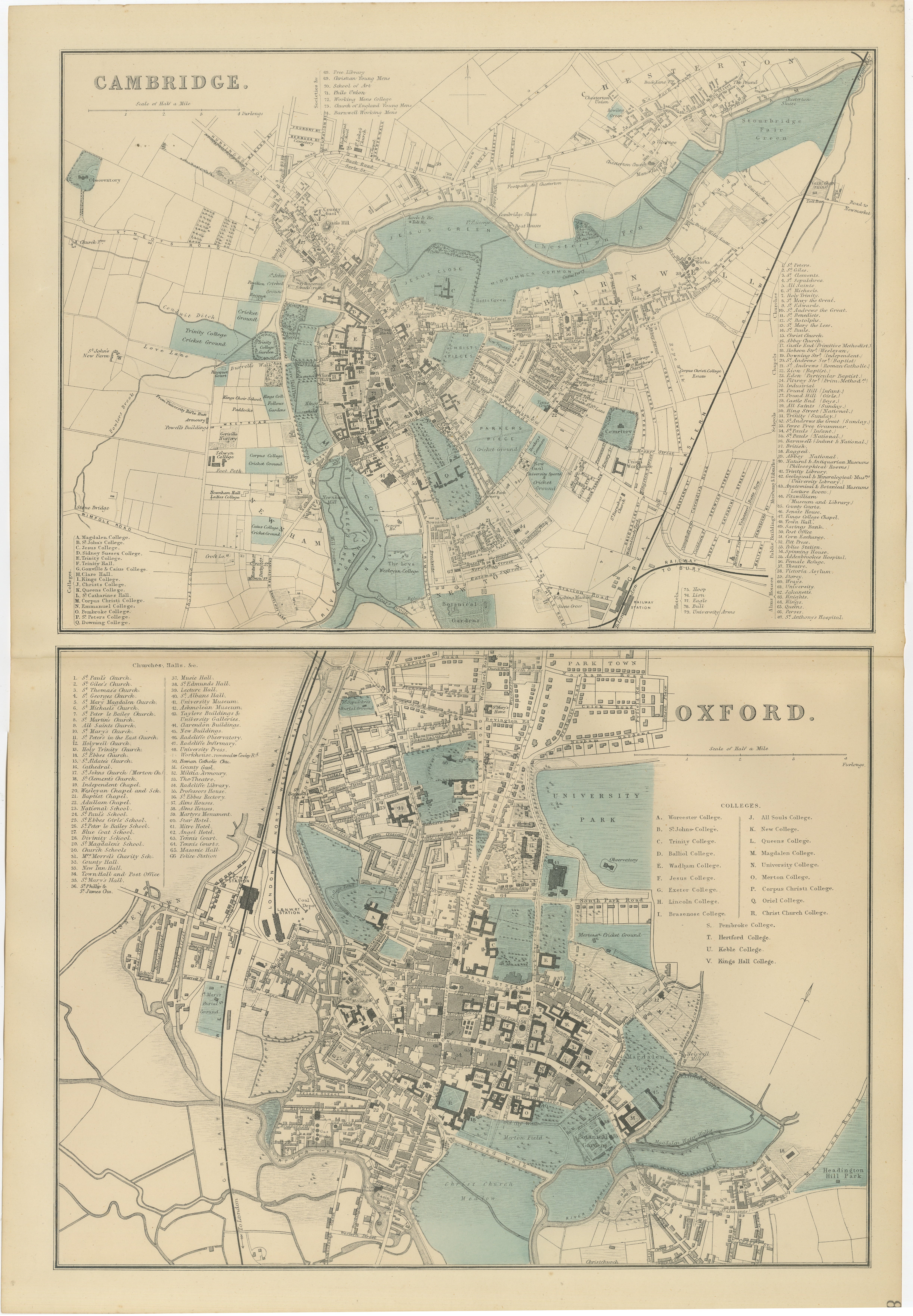
A beautifully composed pair of Victorian city plans depicting Cambridge and Oxford, the two most celebrated university towns in England. Published in 1885, these maps present detailed views of both historic academic centers, capturing their architectural layout, collegiate structures, and surrounding landscapes during the late nineteenth century.
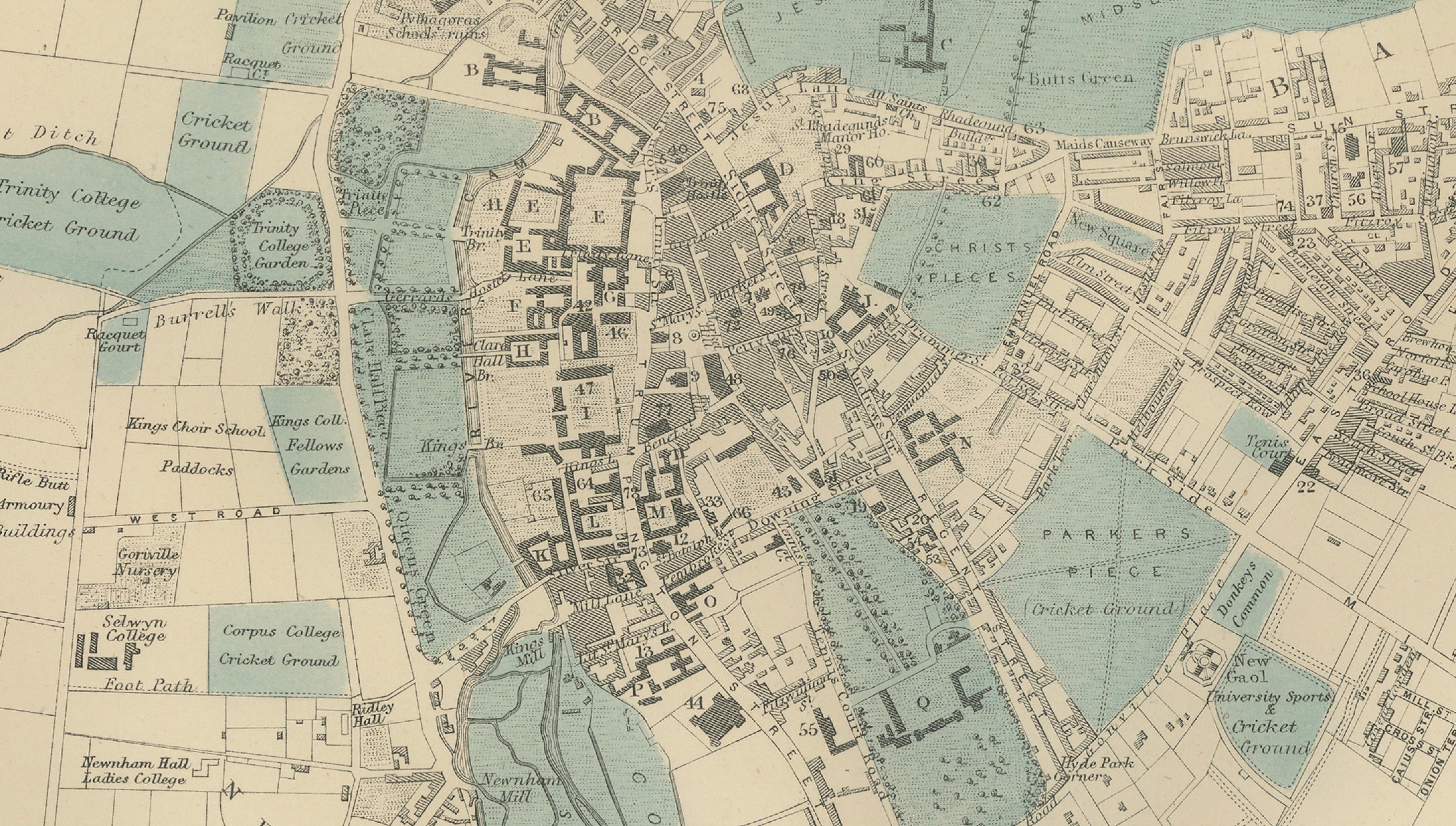
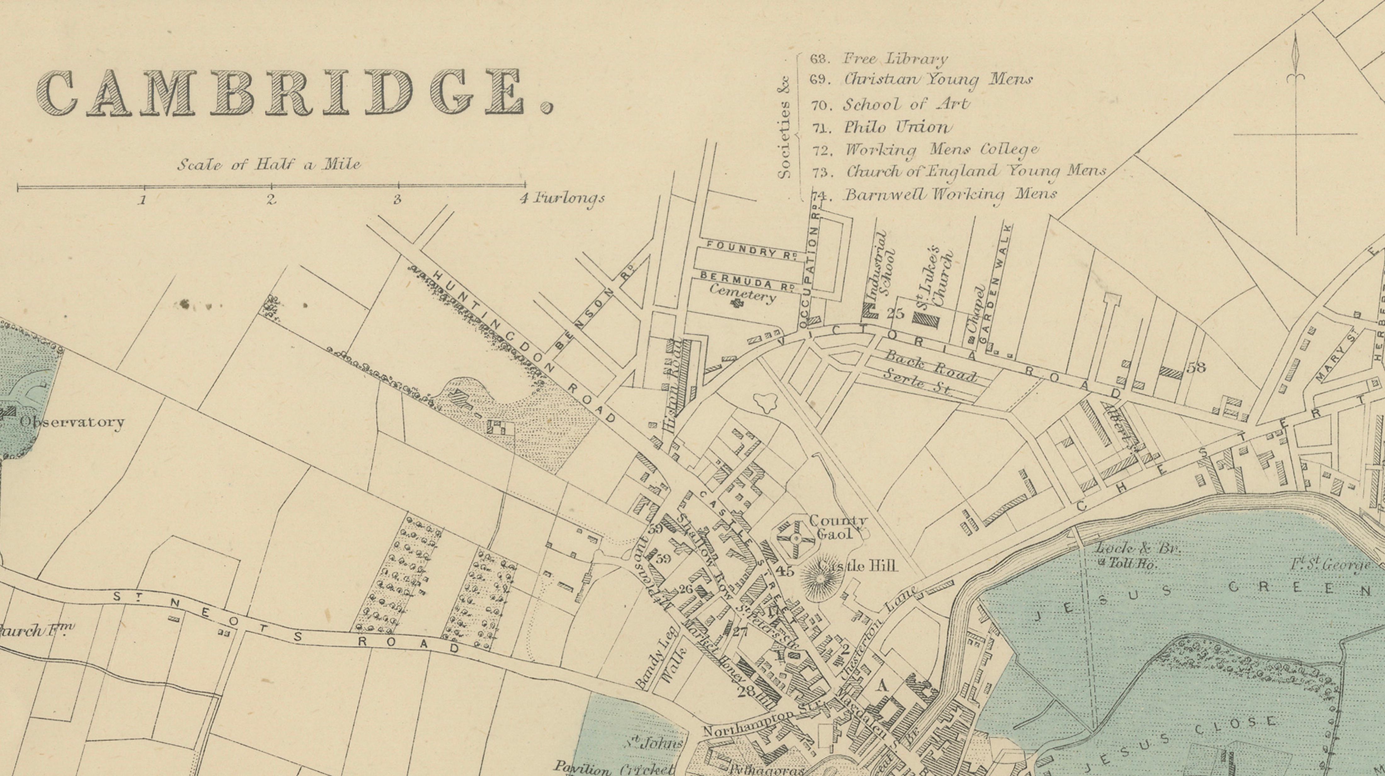
The upper map illustrates Cambridge, with the River Cam winding gracefully through the city and its famous college grounds. The plan highlights the historic core, where colleges such as King’s College, Trinity College, St John’s College, and Gonville and Caius appear clearly arranged along the river and surrounding streets. The Backs, the open green spaces behind the colleges, are delicately rendered, emphasizing the harmonious relationship between architecture and landscape that defines Cambridge’s enduring character.
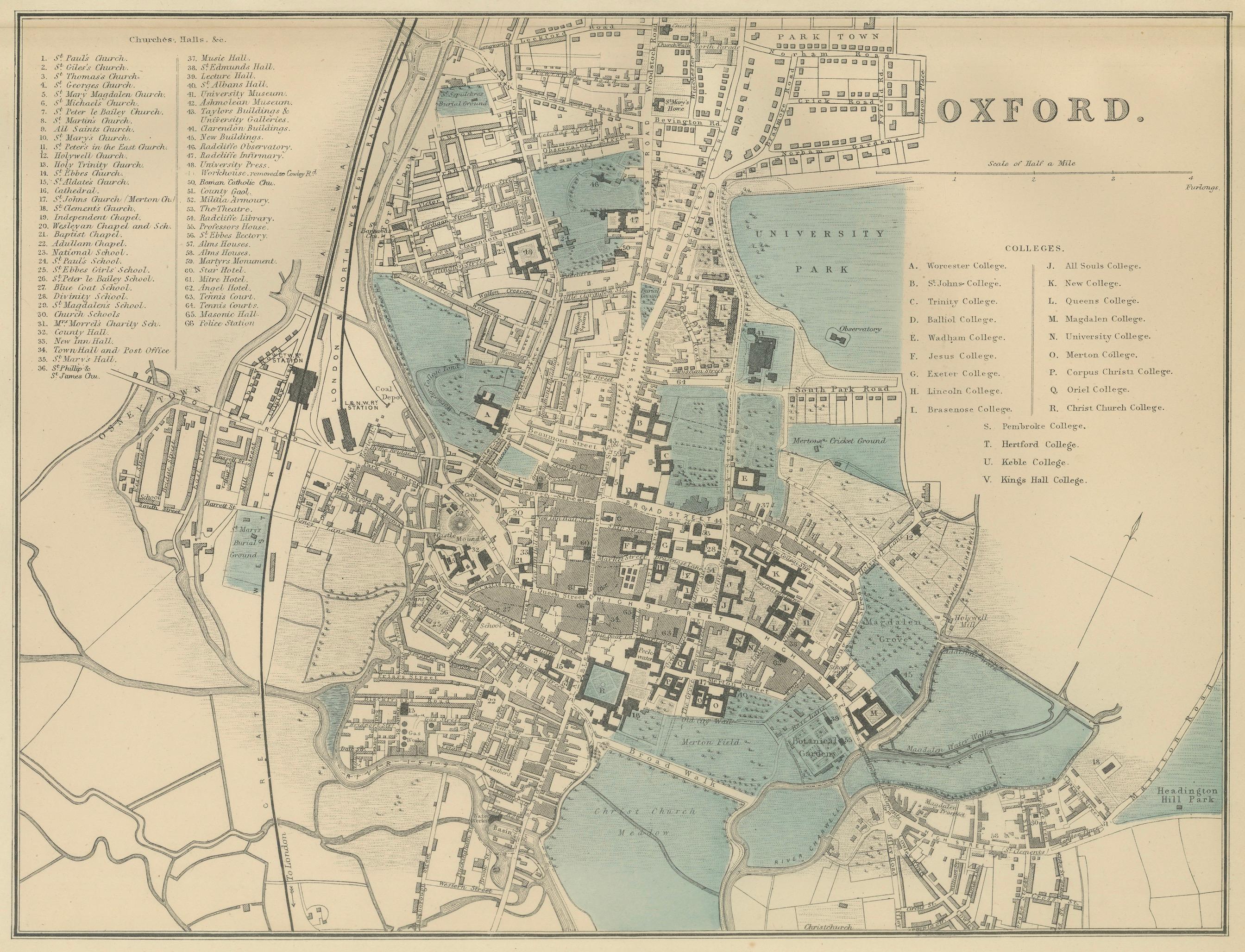
The lower map presents Oxford, equally rich in academic and architectural detail. The River Thames (Isis) and the River Cherwell frame the city, while the dense cluster of colleges forms the historic heart of Oxford. Institutions such as Christ Church, Magdalen College, Balliol College, and All Souls College are individually identified, reflecting the map’s function as both a guide and a scholarly reference. University parks and open spaces are subtly hand-colored, providing contrast against the intricate street plan.
Both maps are distinguished by their clarity and refinement. Fine lithographic linework captures the geometry of streets, quadrangles, and institutional buildings, while soft original hand coloring highlights water features and green spaces. The inclusion of detailed indexes listing colleges, churches, and notable buildings adds an additional layer of historical and academic interest.
Together, these maps offer a compelling visual record of England’s twin centers of higher learning at a time when they continued to shape intellectual and cultural life. Their balanced composition and elegant engraving make them particularly appealing for collectors, academics, and interior designers alike.
Condition:
Very good antique condition. Light toning consistent with age and minor scattered spotting. Original center fold as issued. Margins remain complete and well preserved. Strong, clear impression.
Framing tips:
Ideal for display as a single vertical composition or separated into two individually framed pieces. A dark walnut or black frame with a wide ivory mat enhances the fine detail and creates a refined, academic aesthetic suited for studies, libraries, or professional interiors.
Technique: Lithograph with original hand color
Maker: Edward Weller, London, 1885