About this sheet
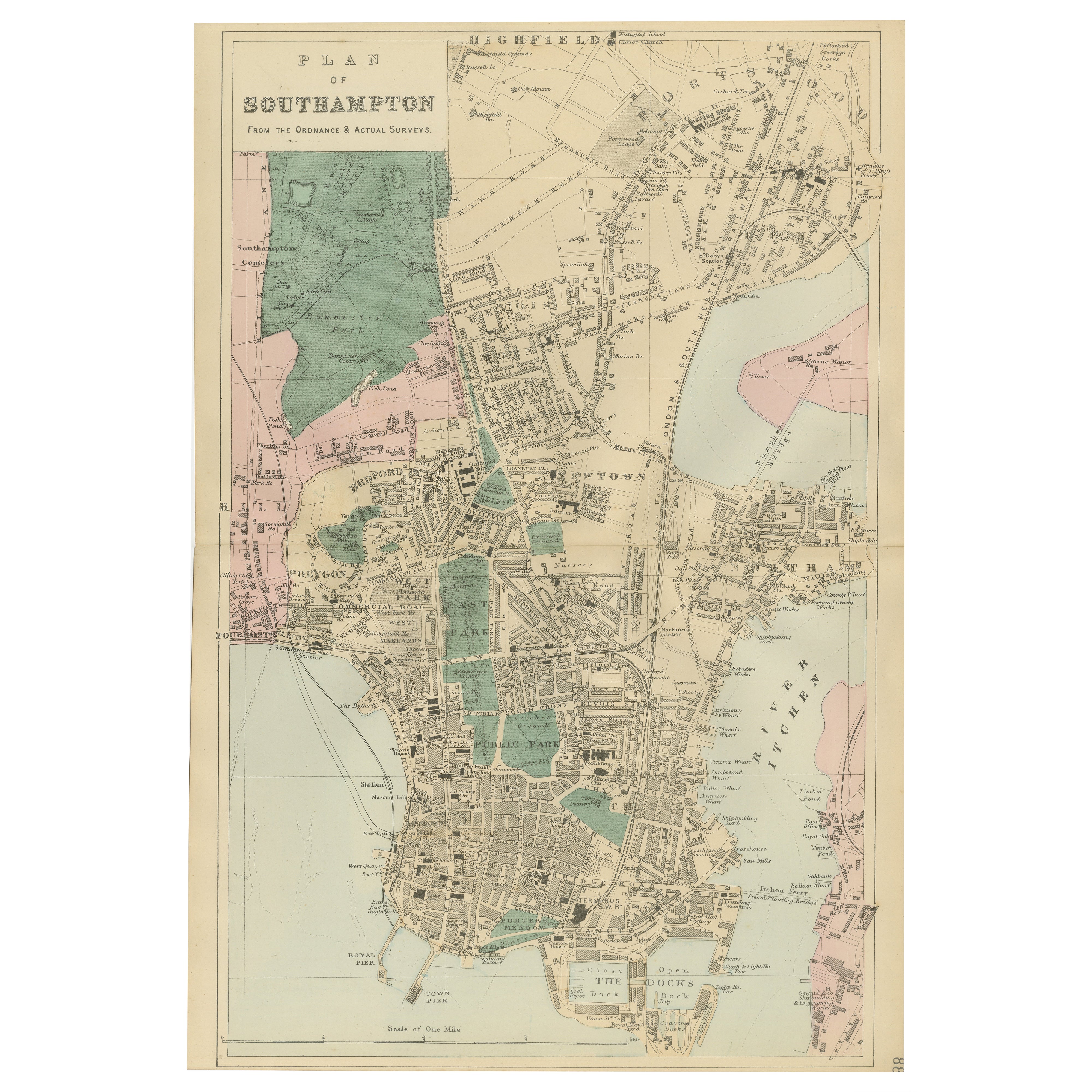
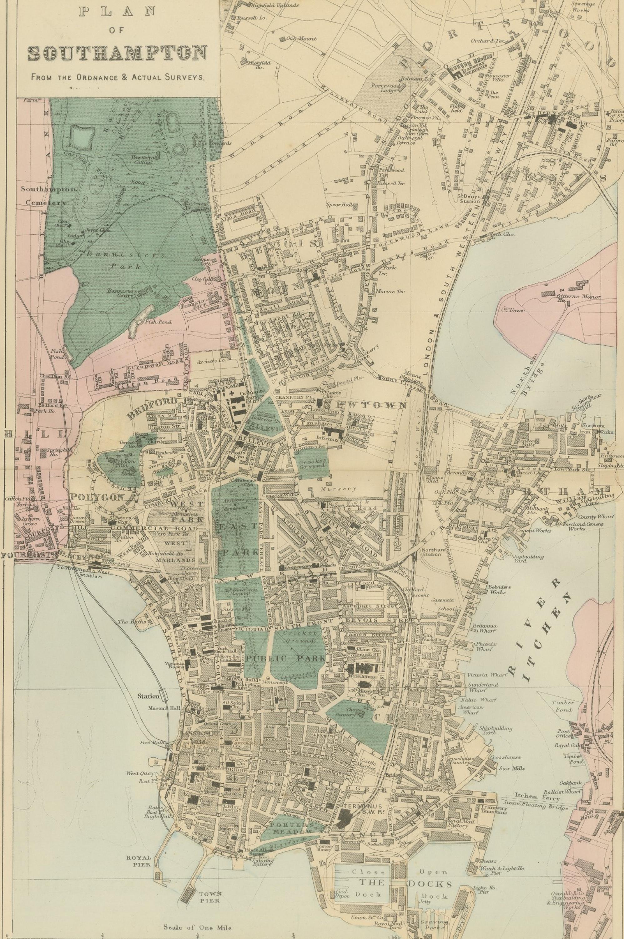
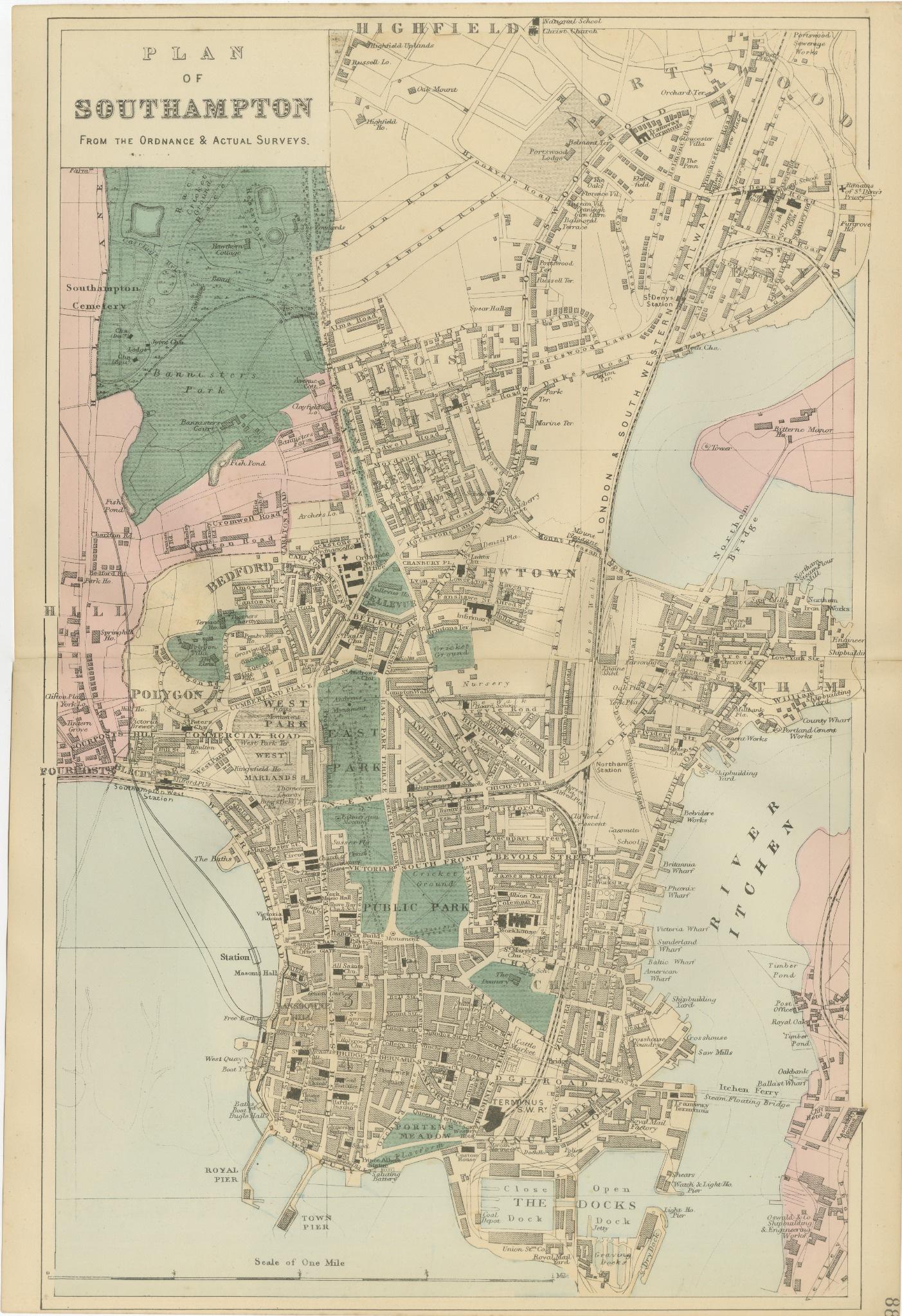
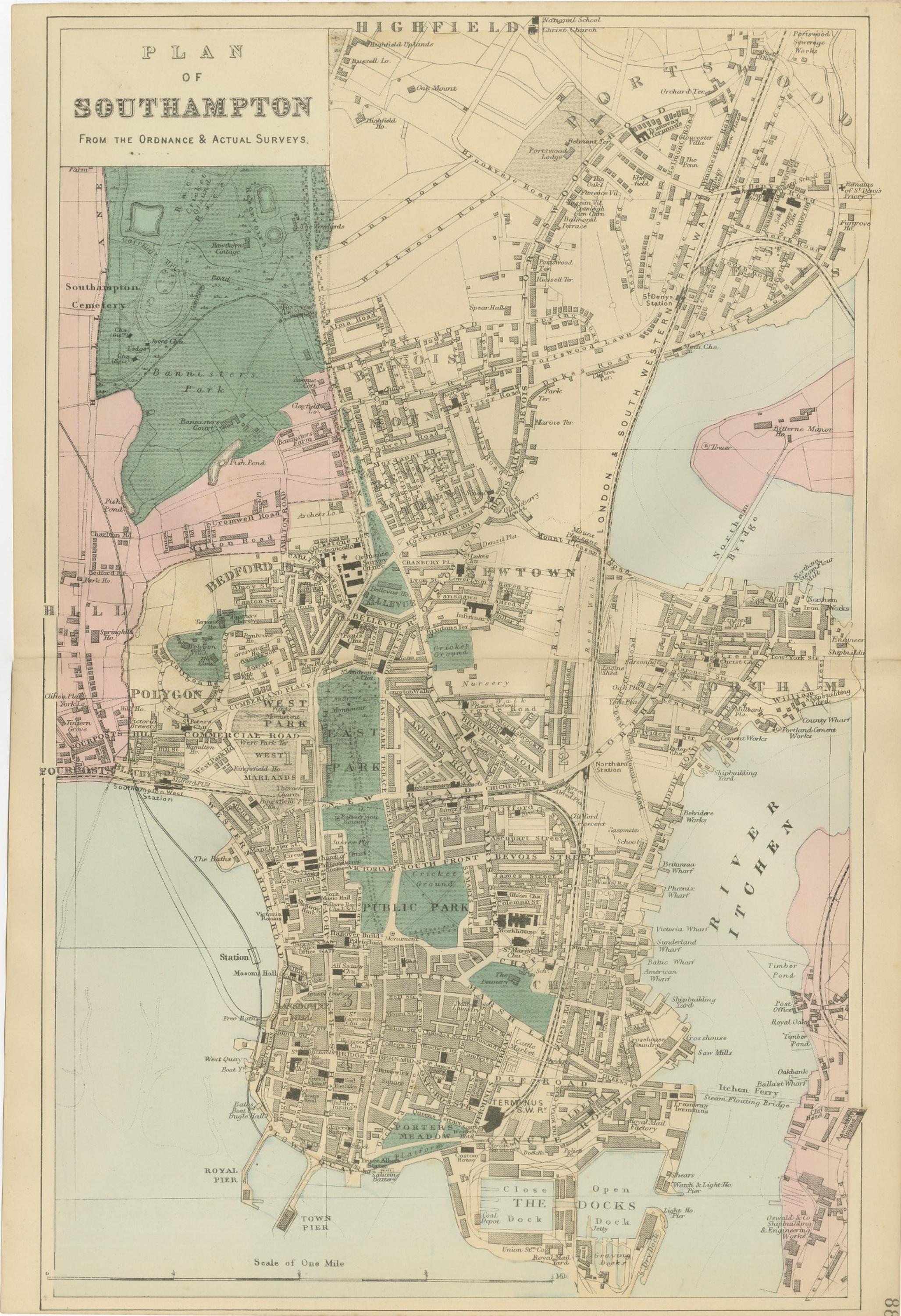
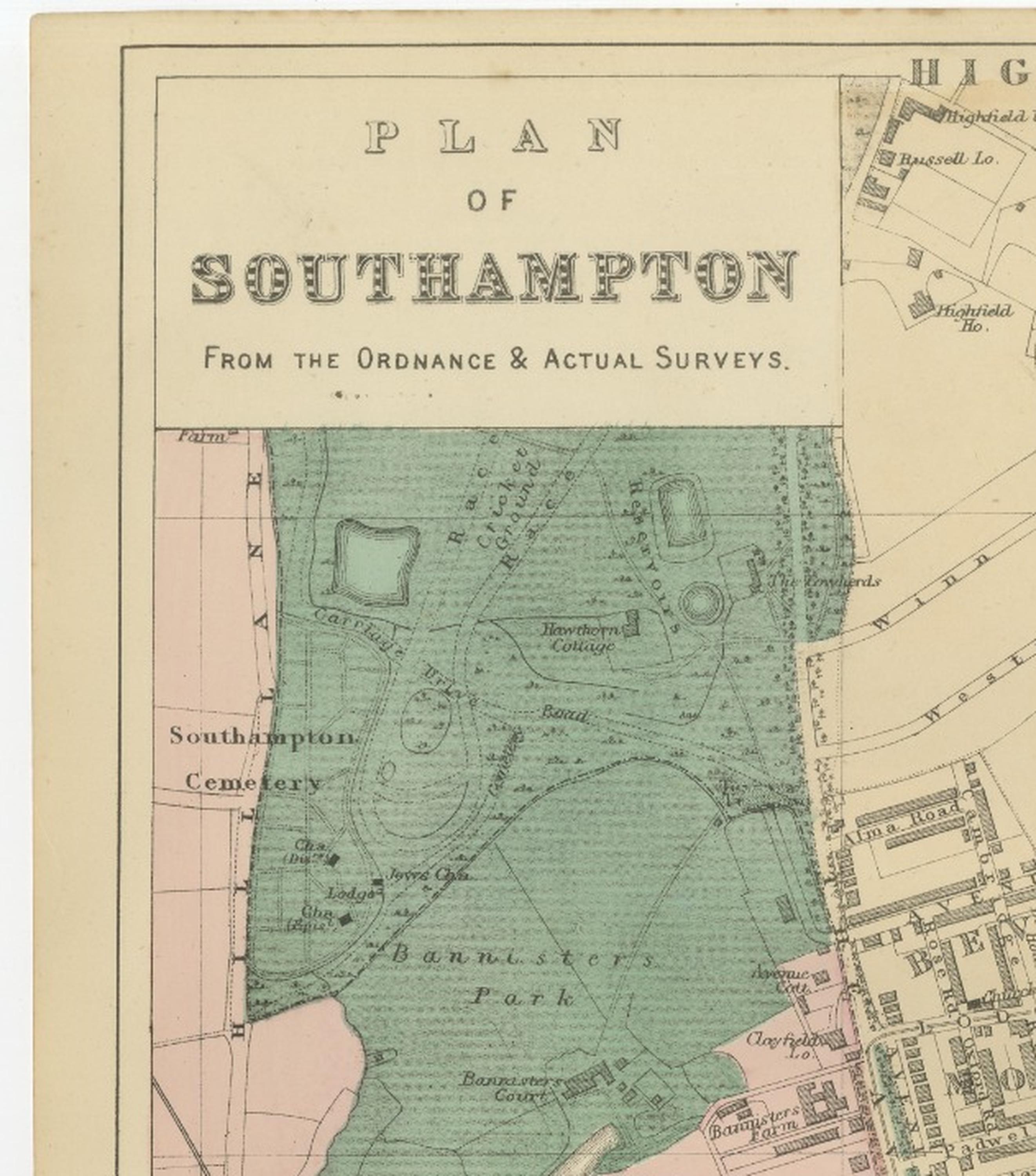
Plan of Southampton – Antique Town Map, George W. Bacon, Ordnance Atlas, 1885
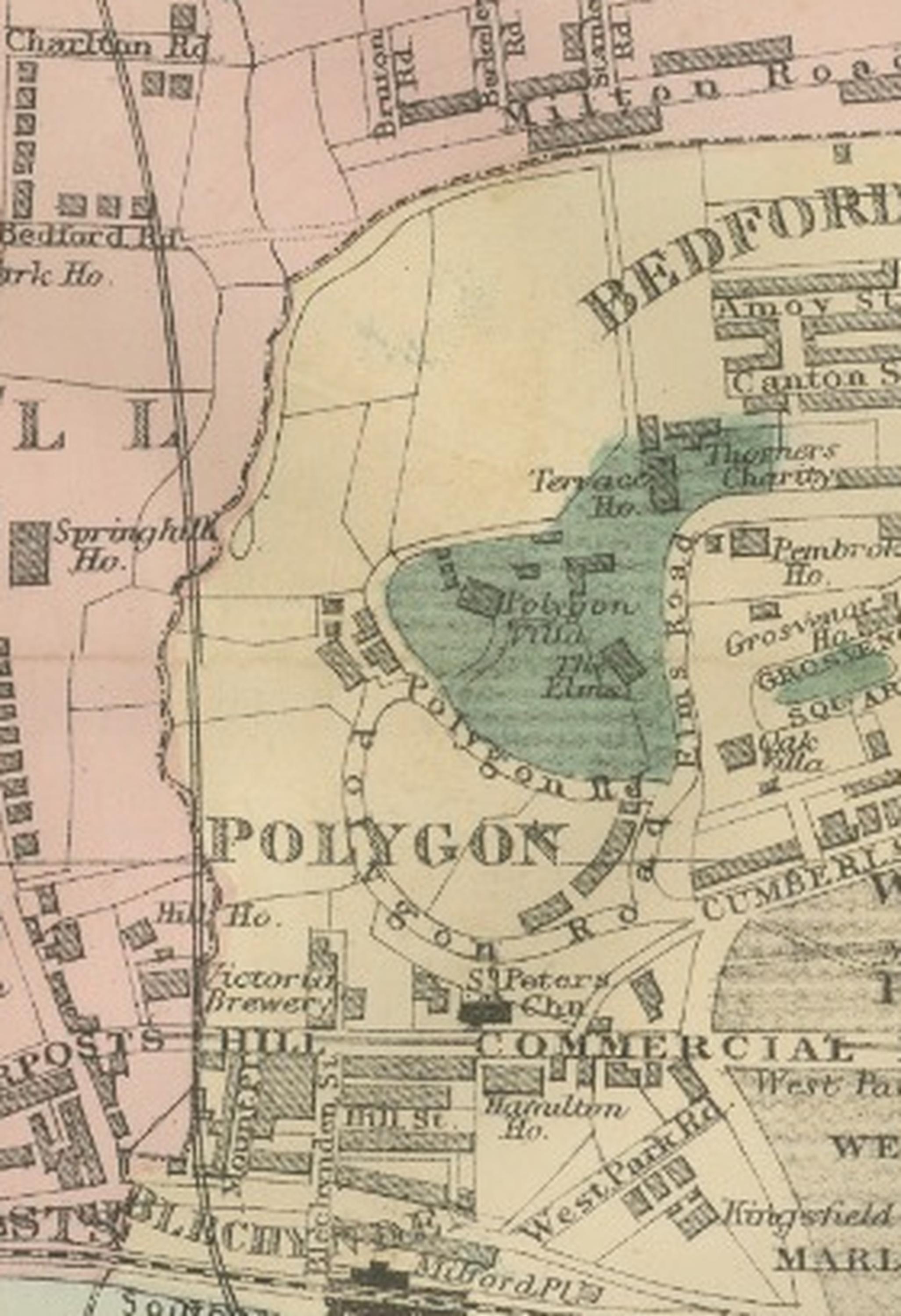
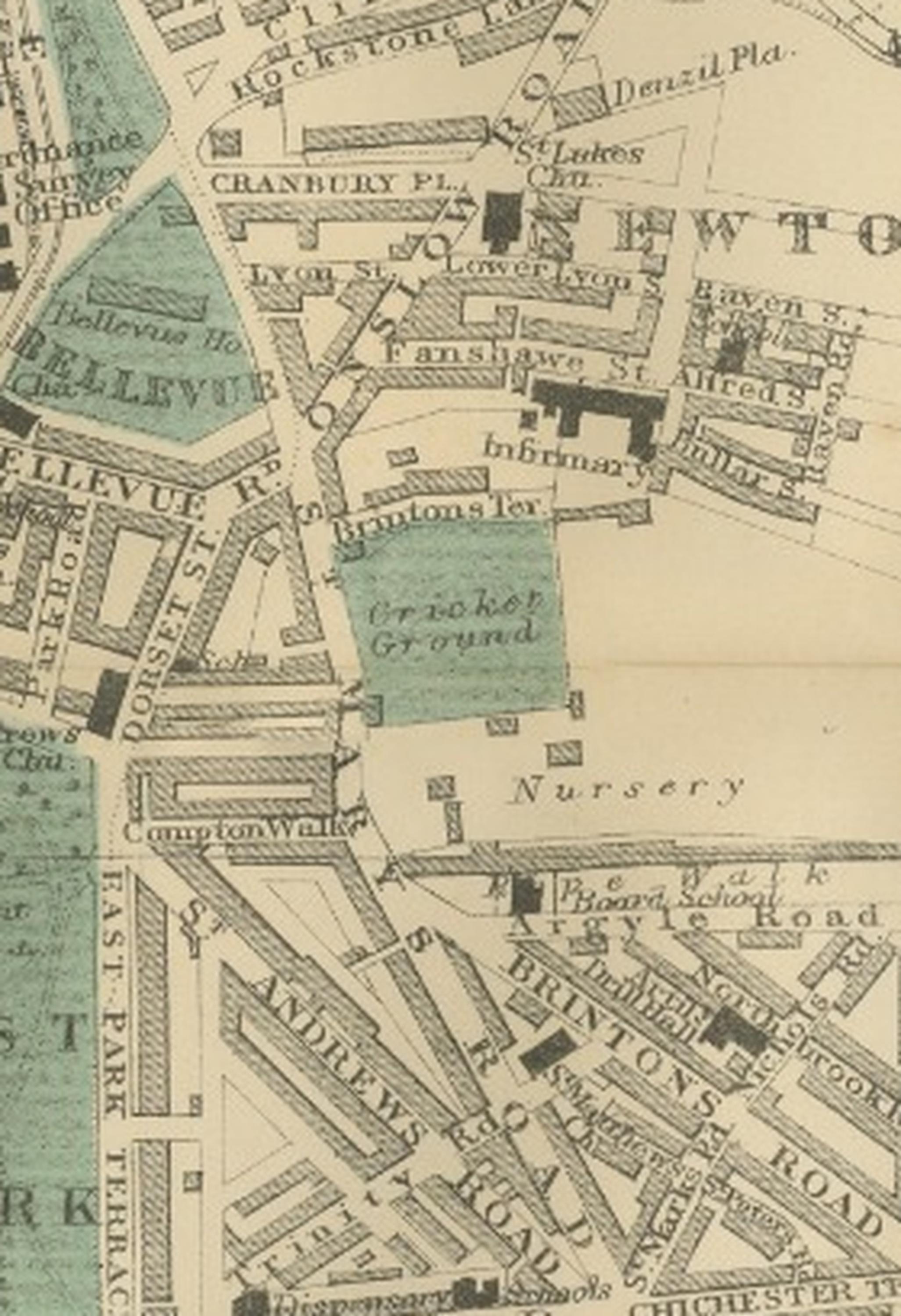
This finely engraved and delicately coloured town plan of Southampton was published in 1885 by the London cartographer and publisher George W. Bacon as part of the New Large Scale Ordnance Atlas of the British Isles with Plans of Towns. Produced during a period of rapid urban expansion and maritime development, the map presents Southampton at a pivotal moment in its transformation into one of Britain’s most important port cities. Combining precision derived from Ordnance Survey data with Bacon’s clear engraving style, the composition offers both practical detail and strong decorative appeal.
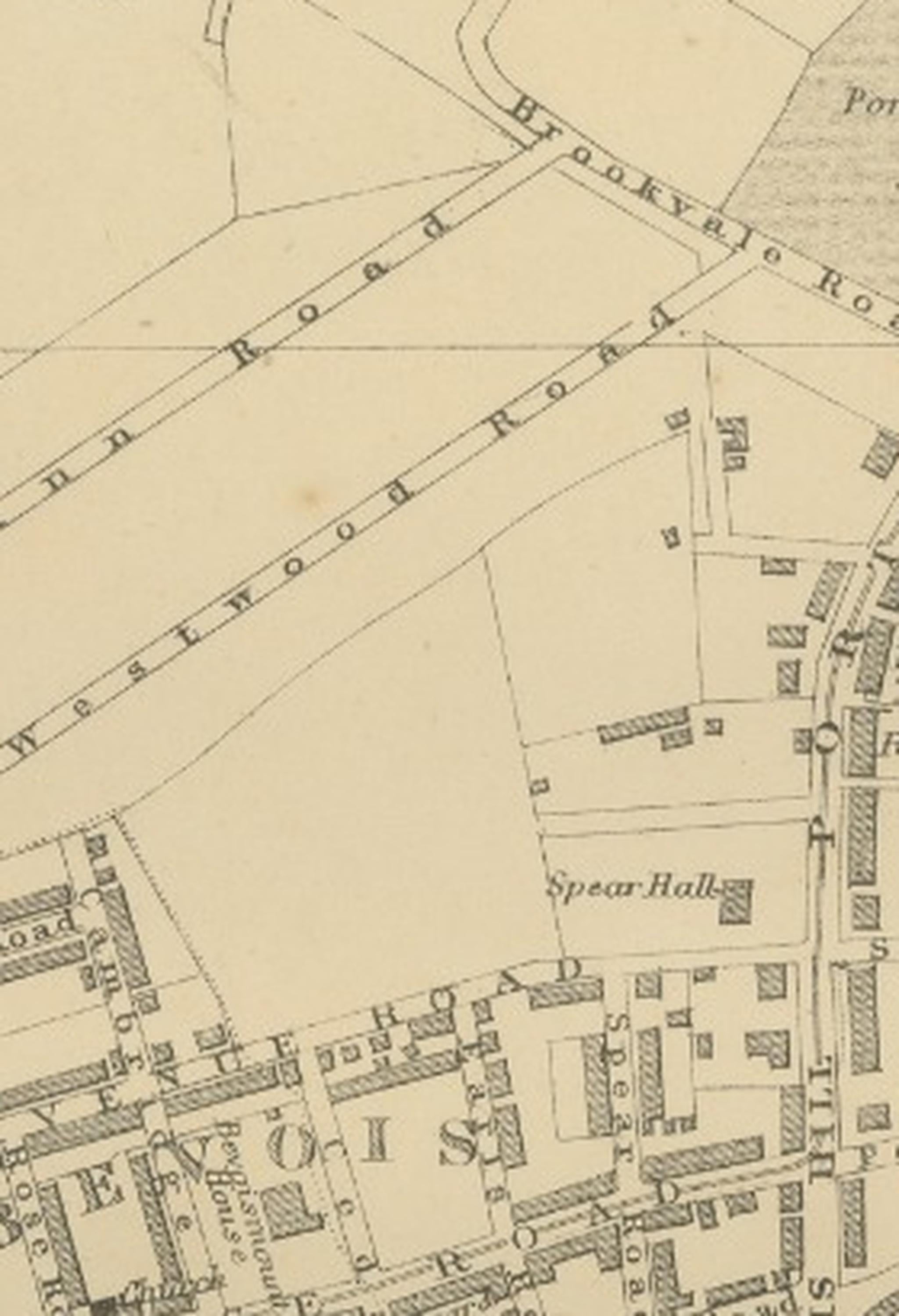
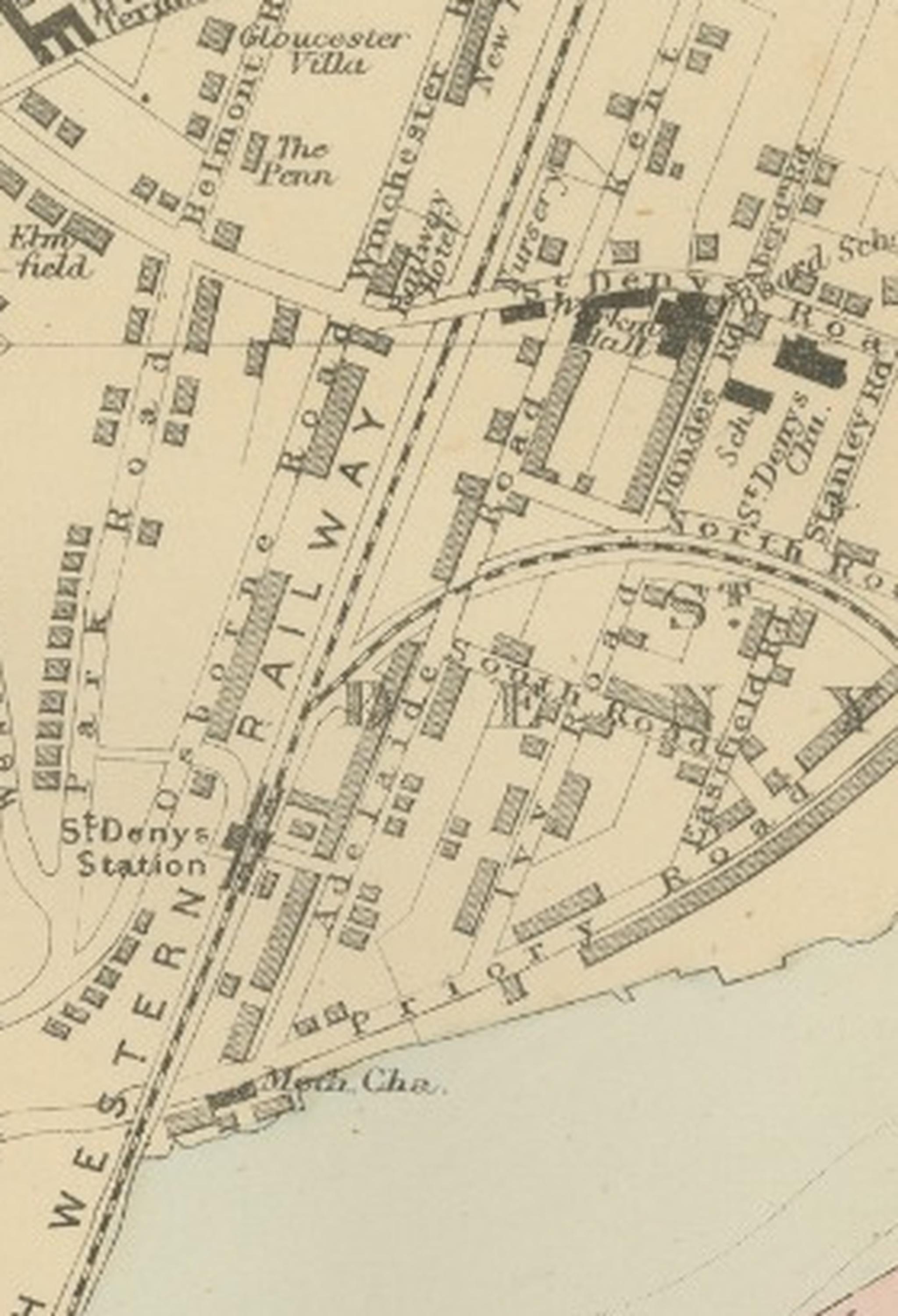
The map captures the urban fabric of Southampton with remarkable clarity, showing streets, railways, public buildings, parks, docks, and waterfront structures in a finely detailed layout. Residential districts, commercial areas, and industrial zones are carefully differentiated, reflecting the Victorian interest in modern urban planning. The harbour, quays, and dock facilities illustrate Southampton’s importance as a gateway for shipping and travel, while the surrounding districts demonstrate the expanding suburban landscape typical of late nineteenth-century Britain.
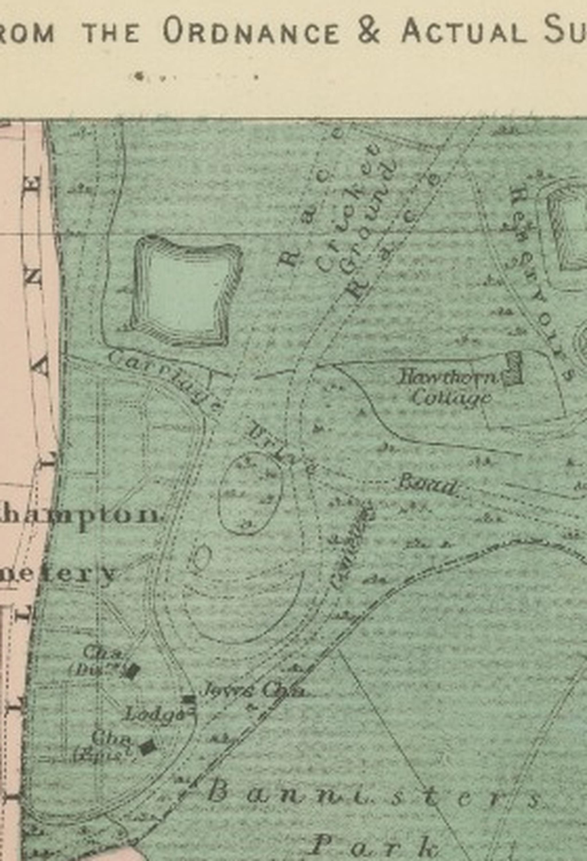
Soft original colour highlights distinguish parks, open spaces, and key zones, adding visual richness without compromising readability. Areas such as public parks and cemetery grounds are rendered in gentle green tones, while surrounding waterways and docks are clearly outlined. The balance between aesthetic charm and functional clarity makes this map highly desirable both for collectors of British cartography and for interior designers seeking an elegant historical city plan.
As part of Bacon’s well-regarded atlas series, this plan reflects the broader Victorian ambition to document the modern world with scientific accuracy and visual refinement. The map offers not only a practical historical reference but also a window into Southampton’s development during the height of the industrial and maritime age. It is equally suited to display in a study, library, office, or contemporary interior where historical character and architectural detail are appreciated.
Condition report: Very good condition for its age, with light overall age toning consistent with nineteenth-century paper. Minor handling marks and faint signs of wear may be present at the margins. The engraving remains crisp with strong impressions and clear original colouring. Please review images for detailed condition.
Framing tips: The map is offered unframed, allowing flexibility to select a frame that best suits the intended interior. A dark walnut or black frame with an ivory or warm off-white mat complements the antique tones and enhances the clarity of the engraving. For modern interiors, a slim black frame creates a refined gallery-style presentation, while a classic wood frame suits traditional or library settings.
Technique: Engraving with original hand colouring
Maker: George W. Bacon, London, 1885
SEO keyword block:
Southampton antique map, Plan of Southampton 1885, George W Bacon map, Ordnance Atlas town plan, Victorian city plan England, Hampshire historic map, Southampton docks historical chart, River Itchen, River Test, Southampton Water, West Quay, Royal Pier, Town Pier, Open Docks, Close Docks, Northam, Newtown, Bedford Place, Polygon, Above Bar Street, Commercial Road, London Road, St Mary’s area, Highfield, Portswood, Banister Park, Southampton Cemetery, Public Park, Royal South Western Railway, railway terminus S.W.R., Itchen Ferry, Ocean Village area (historic docks), medieval city centre Southampton, maritime port map Britain, 19th century urban plan, British cartography collectible, decorative antique city map, coastal town plan England, historical harbour plan.