About this sheet
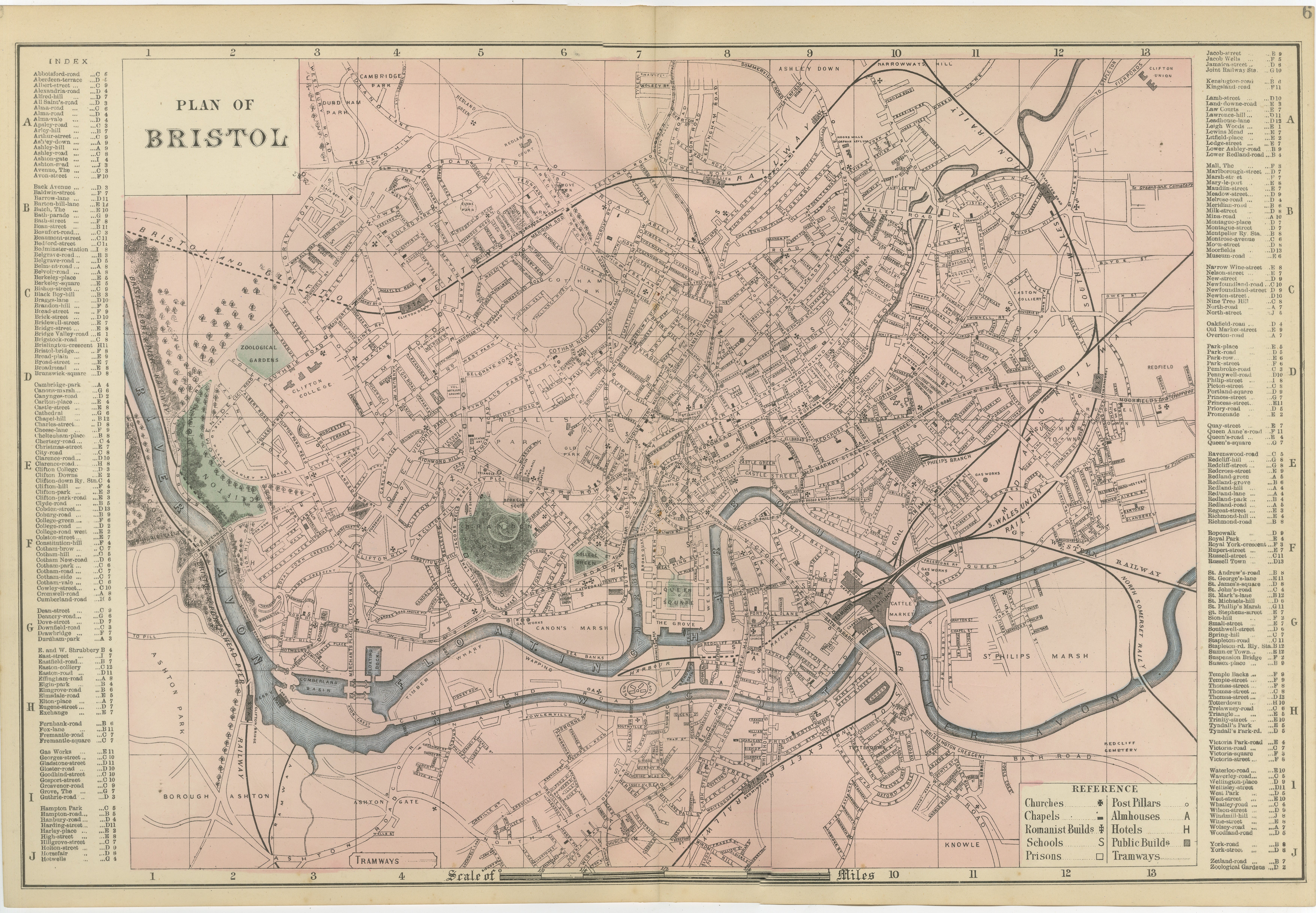
Decorative Map of Bristol, Victorian City Plan with Avon River, 1885
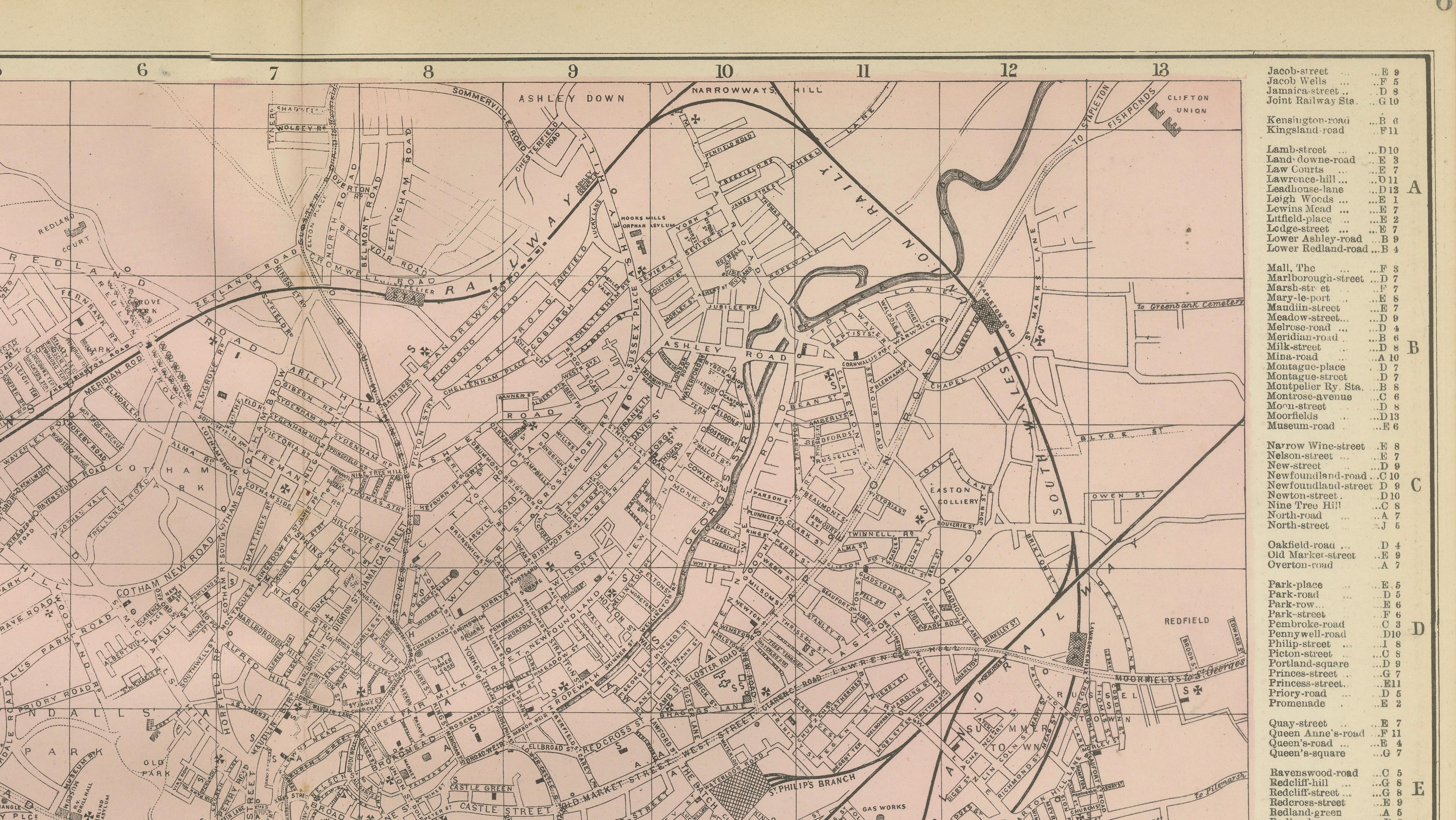
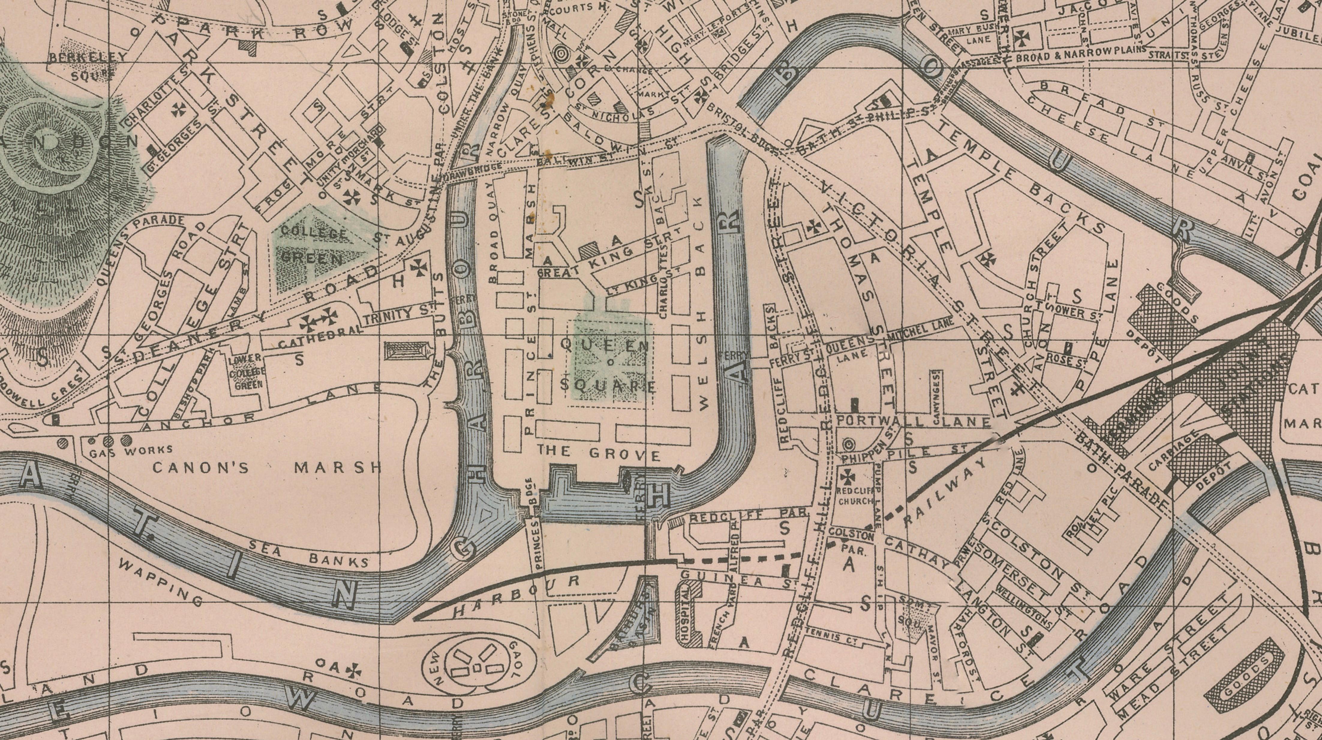
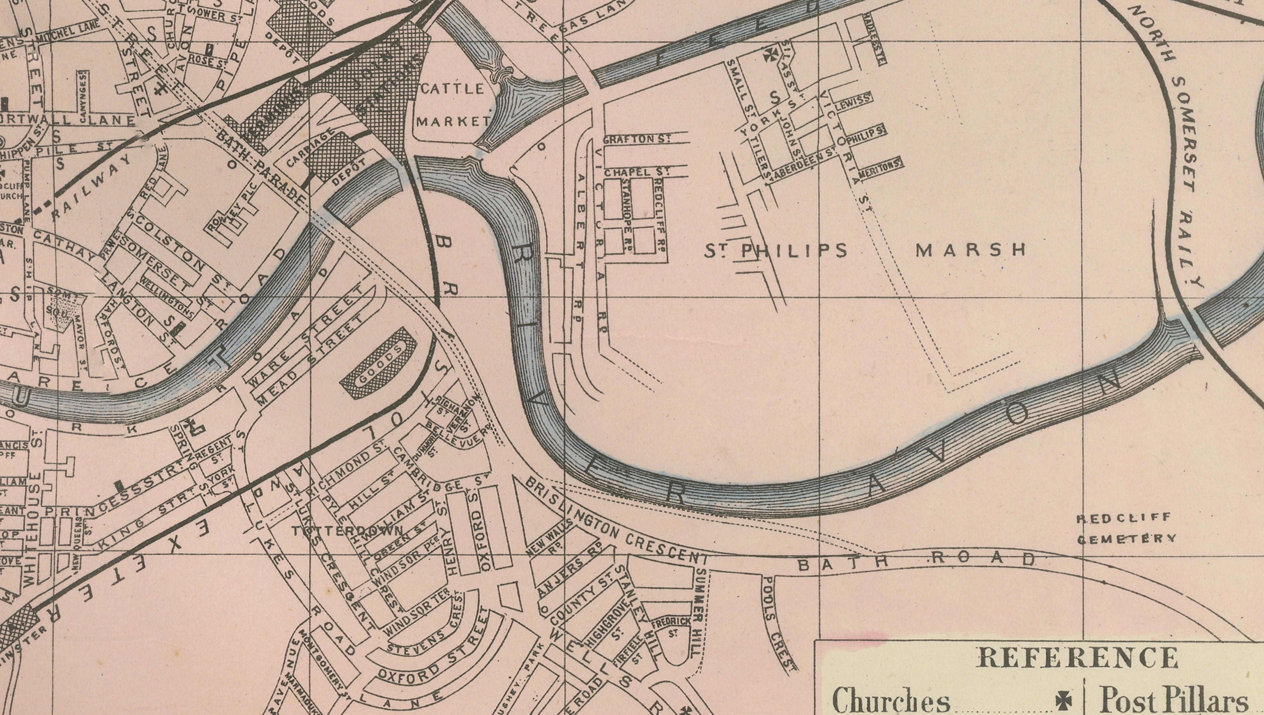
This finely detailed Victorian map titled “Plan of Bristol” presents the historic port city at a moment of continued growth and commercial importance in the late nineteenth century. Published in 1885, the map captures Bristol as one of Britain’s key maritime and industrial centers, with its urban fabric shaped by trade, shipping, and regional commerce.
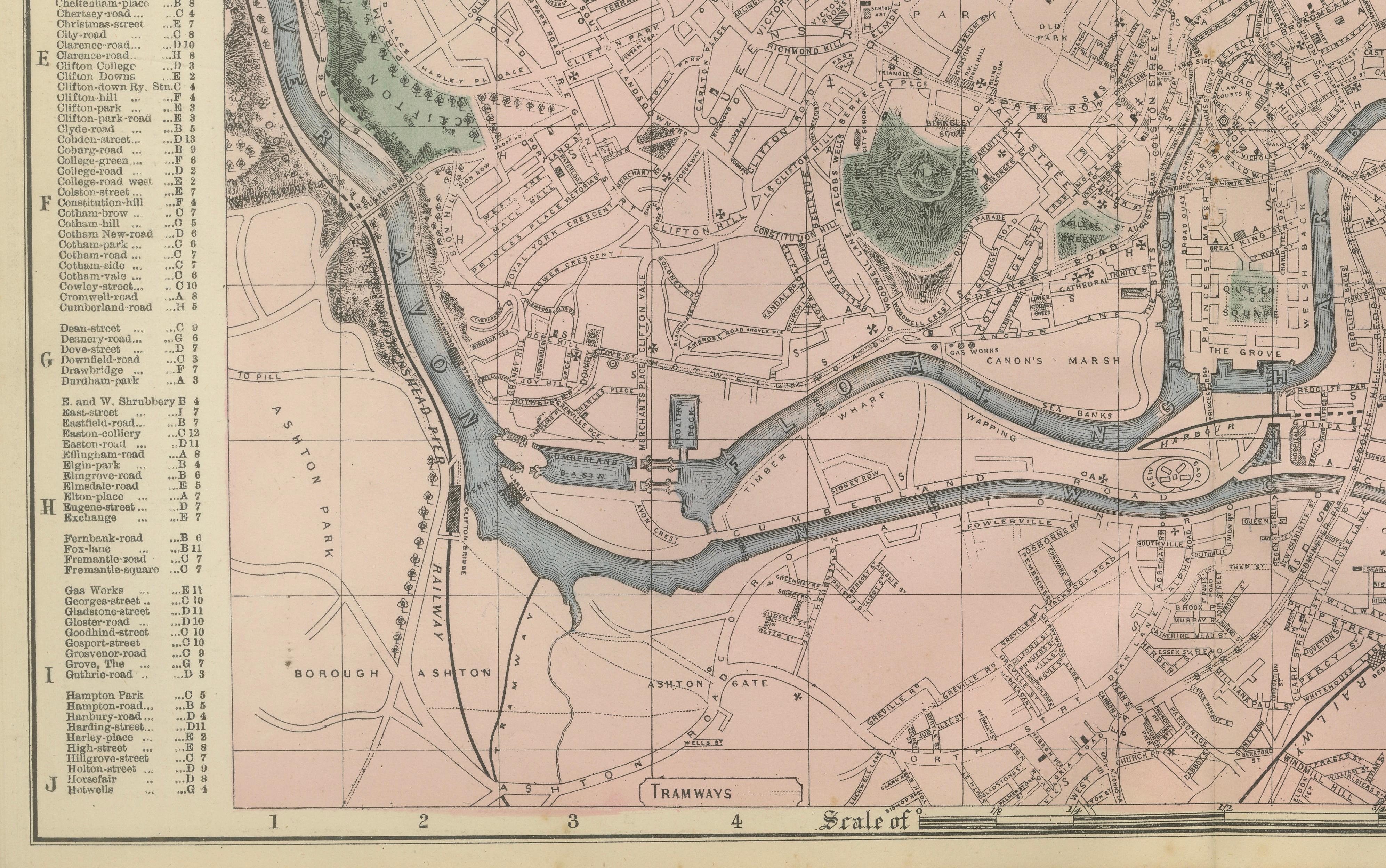
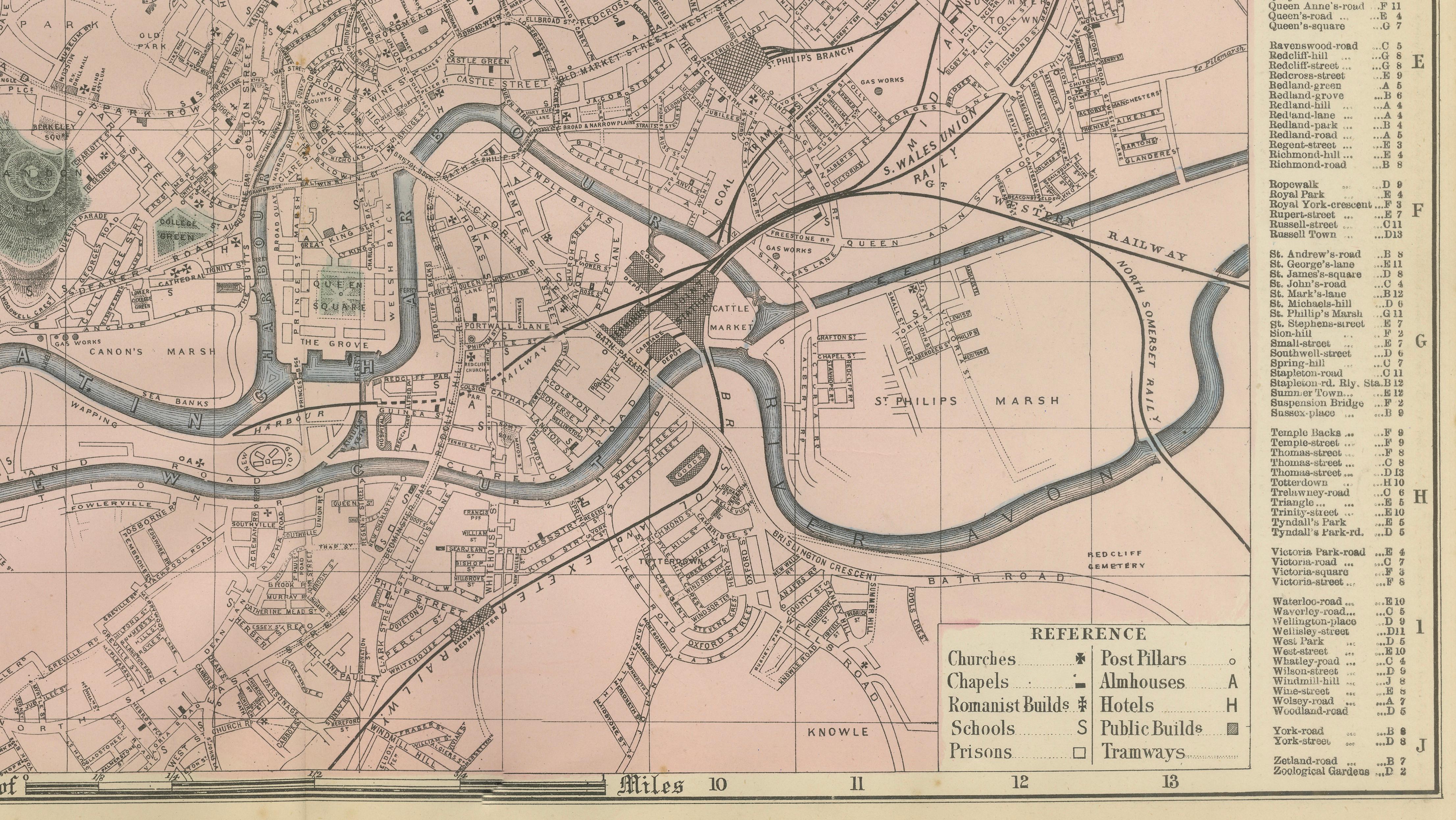
The composition is centered on the winding River Avon, which flows prominently through the city and defines its geography. The Floating Harbour and dock areas are clearly depicted, reflecting Bristol’s long-standing role as a major port connecting England with global trade routes. Bridges, quays, and waterways structure the city’s layout, while the surrounding districts expand outward along major roads and railway lines.
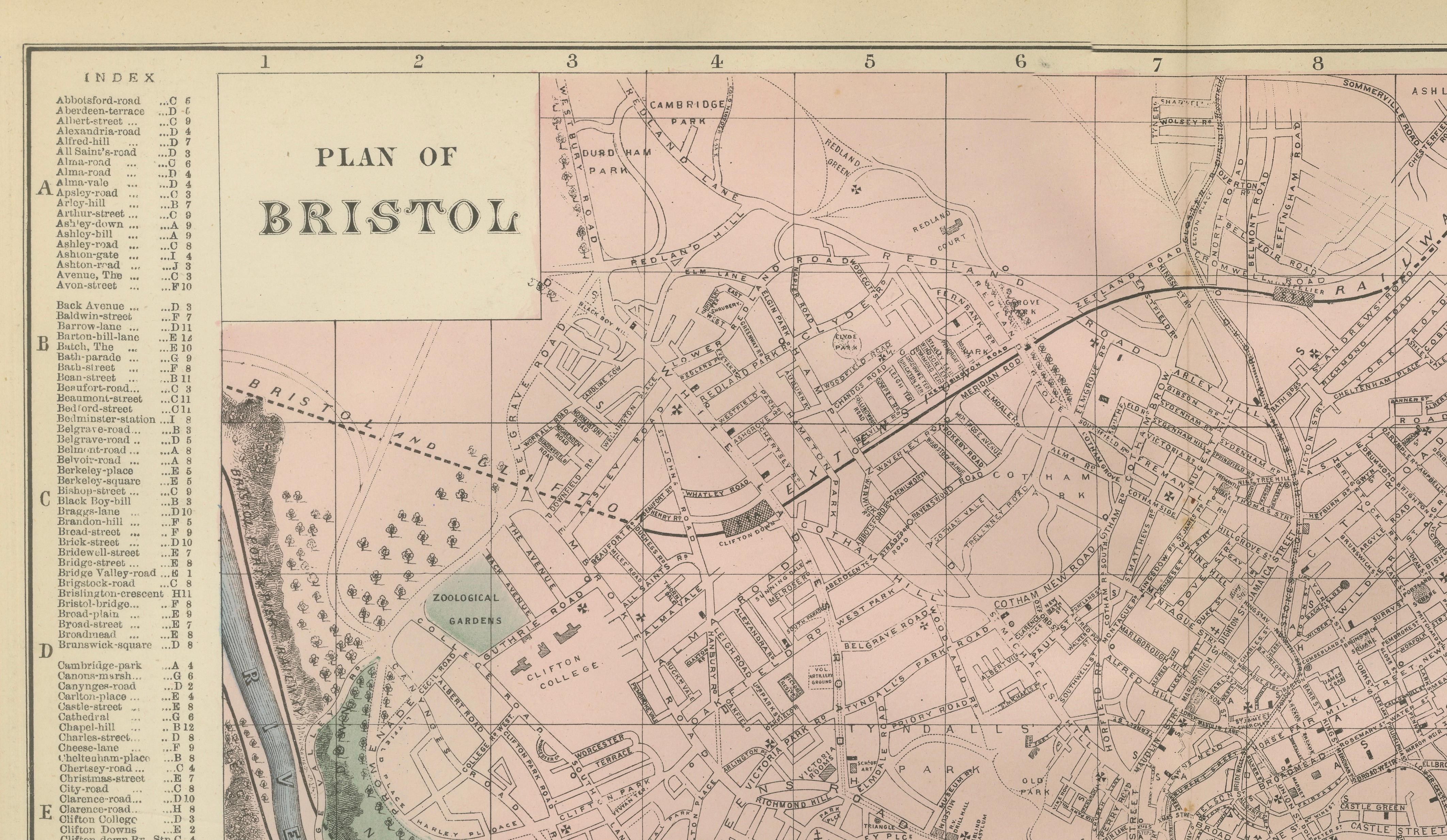
Bristol’s dense street network is rendered with precision, showing the historic core alongside growing residential and commercial districts. Areas such as Clifton, Redland, Cotham, Stokes Croft, Bedminster, and Temple Meads are clearly identifiable, illustrating the city’s expansion during the Victorian period. The map also highlights important infrastructure such as railway lines, stations, and tramways, emphasizing Bristol’s role as a regional transport hub.
Green-tinted areas mark parks and open spaces, including Clifton Down and the Zoological Gardens, providing visual contrast to the intricate urban layout. The surrounding suburbs and outskirts transition into rural landscapes, offering a broader perspective of the city within its geographic setting.
The map is executed with fine lithographic linework and subtle original hand coloring, balancing clarity with decorative appeal. A detailed index of streets and references enhances its usability while adding to its historical significance.
This is an original 19th-century lithograph, not a reproduction. All items we offer are authentic period works of art over 100 years old. The print is sold unframed; any framed images are shown for presentation and interior inspiration only.
Condition
Very good antique condition. Light age-related toning and minor spotting consistent with nineteenth-century paper. Original center fold as issued. Margins remain complete and well preserved. Plate mark visible.
Framing tips
This map displays beautifully in a wide horizontal frame. A dark walnut or black frame with an ivory or warm off-white mat enhances the fine Victorian engraving and highlights the flowing lines of the River Avon. Ideal for both classic and contemporary interiors.
Technique: Lithograph with original hand color
Maker: Edward Weller, London, 1885
Keyword Block
antique map, Bristol map, Victorian city map, 1885 map, Bristol city plan, River Avon map, Floating Harbour Bristol, Clifton Bristol, Redland, Cotham, Stokes Croft, Bedminster, Temple Meads, Bristol docks, Bristol harbour, Victorian England map, British port city map, railway map Bristol, tramways Bristol, antique lithograph map, 19th century map, decorative wall map, architectural map, urban planning map, historical geography, British Isles map, collector map, interior designer wall art, Clifton Down, Bristol Zoo Gardens, Ashton Gate, Knowle Bristol, Avonmouth