About this sheet
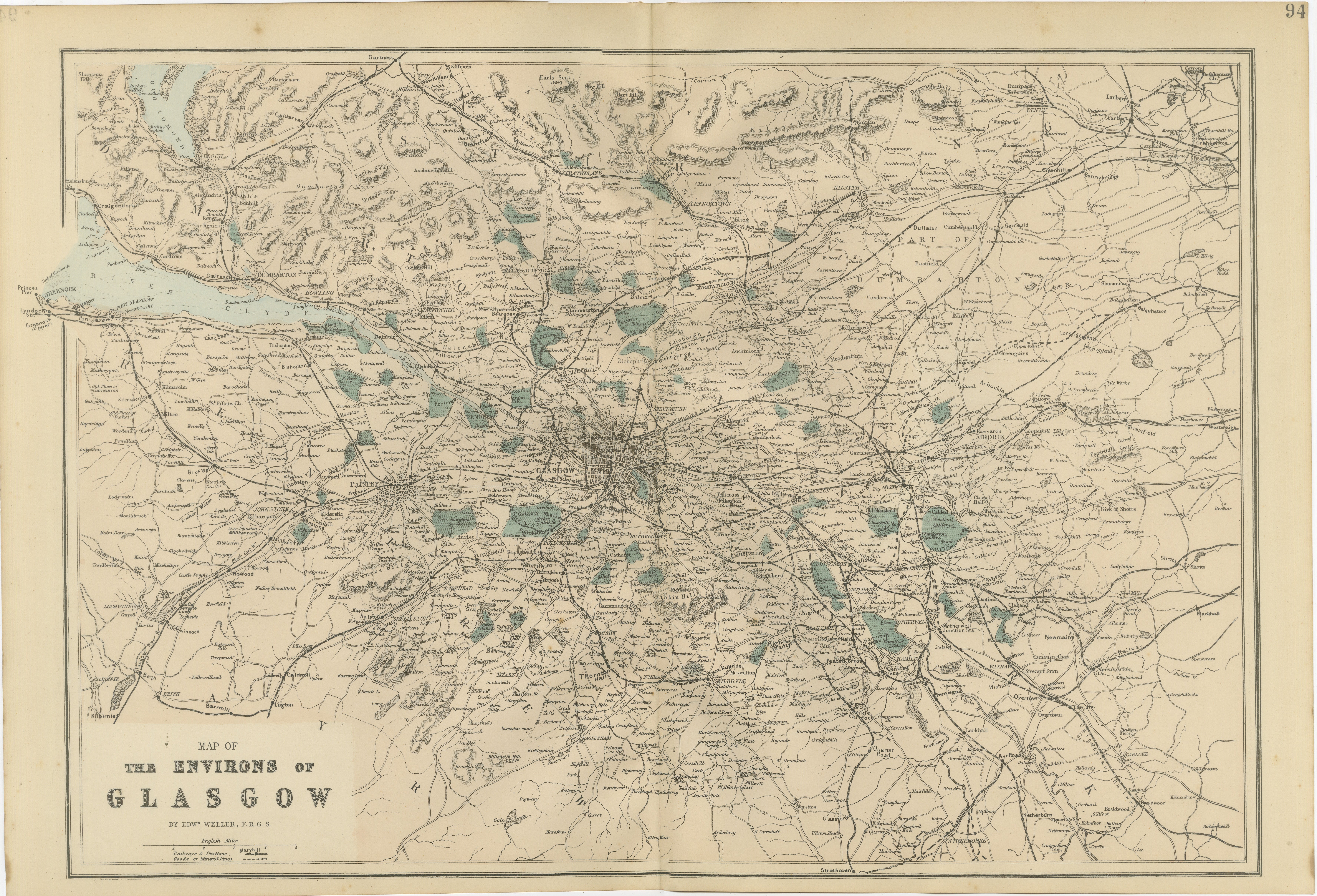
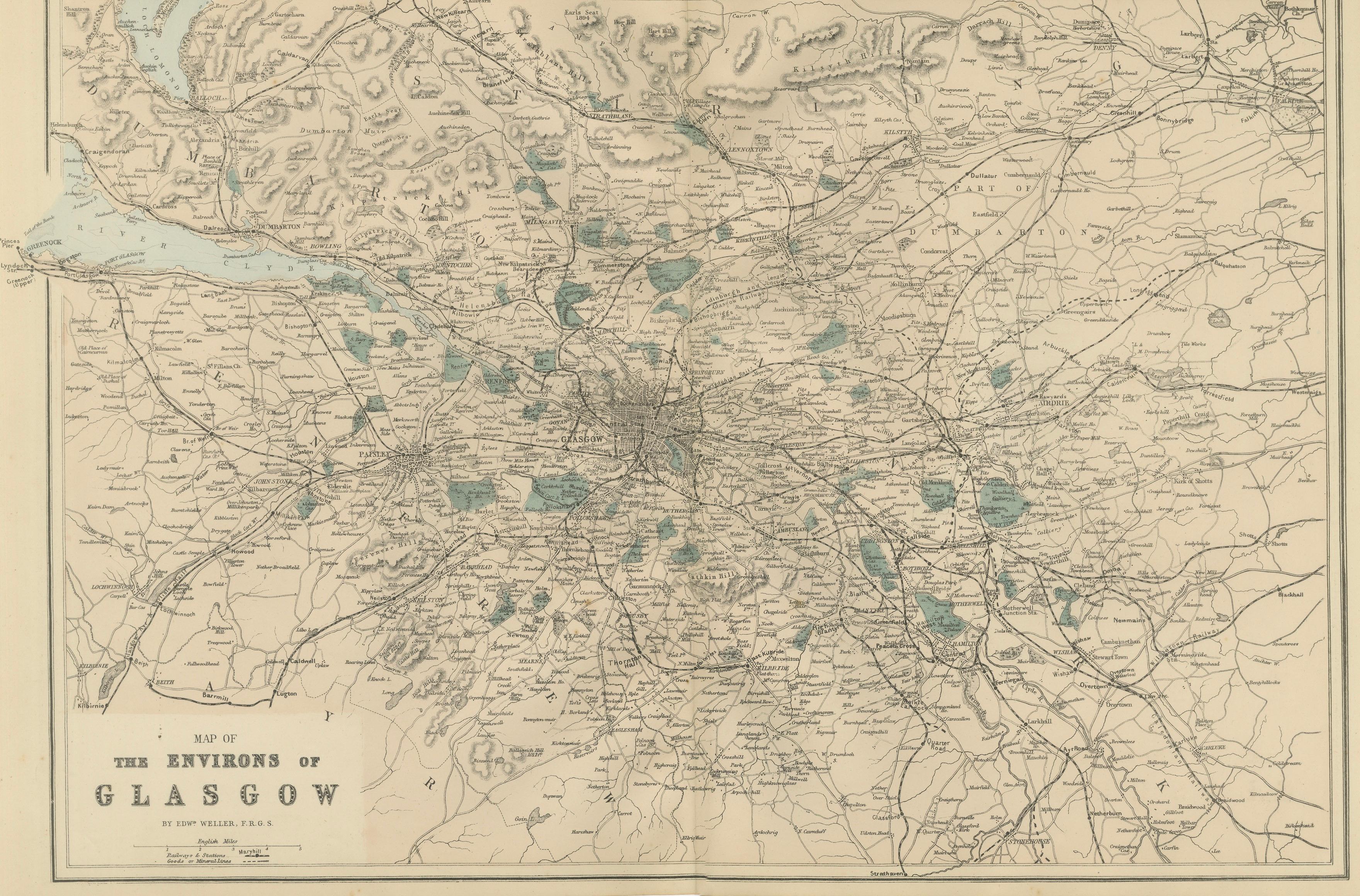
Decorative Glasgow Map, Victorian City and Surroundings Plan, 1885
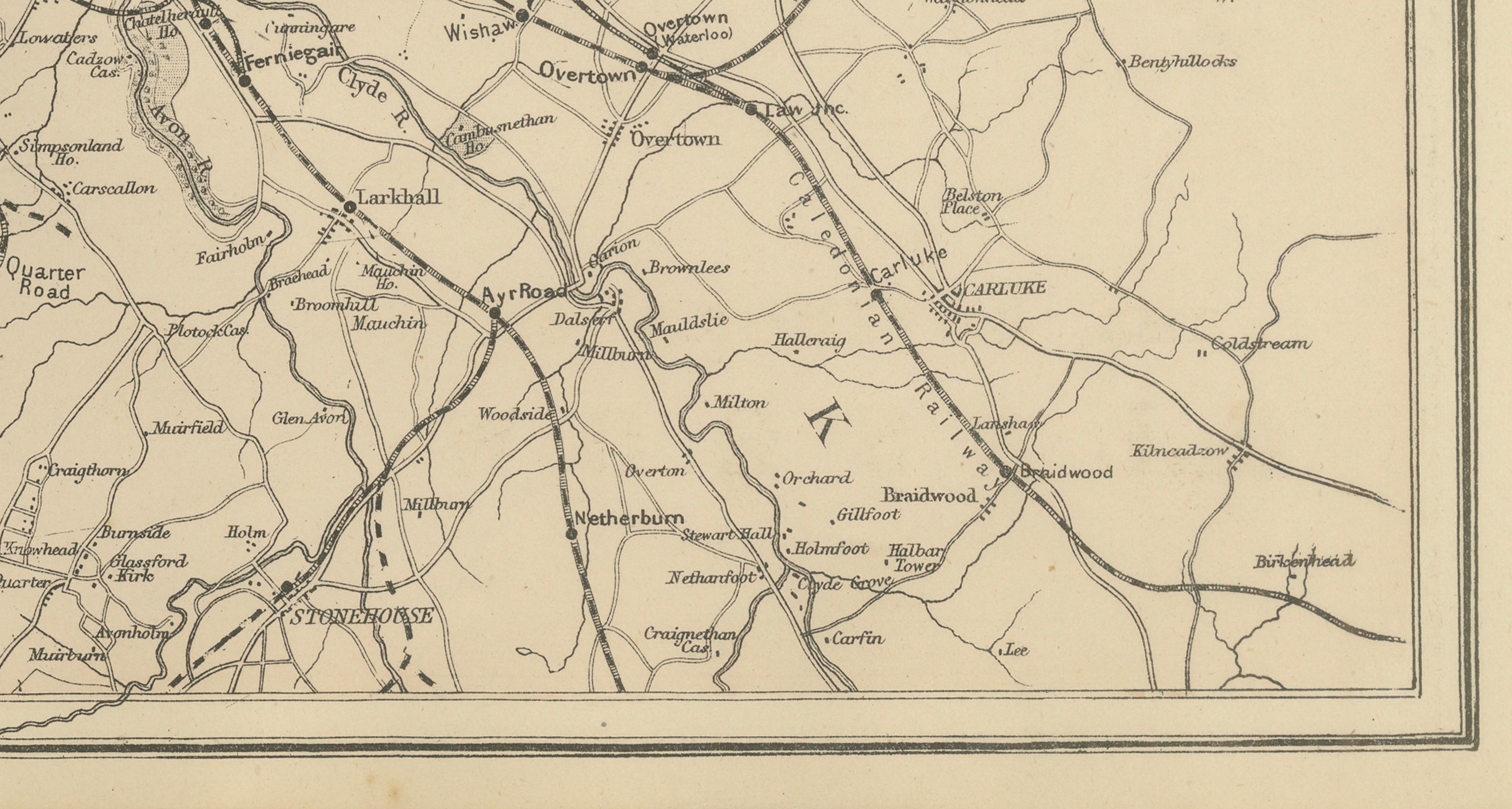
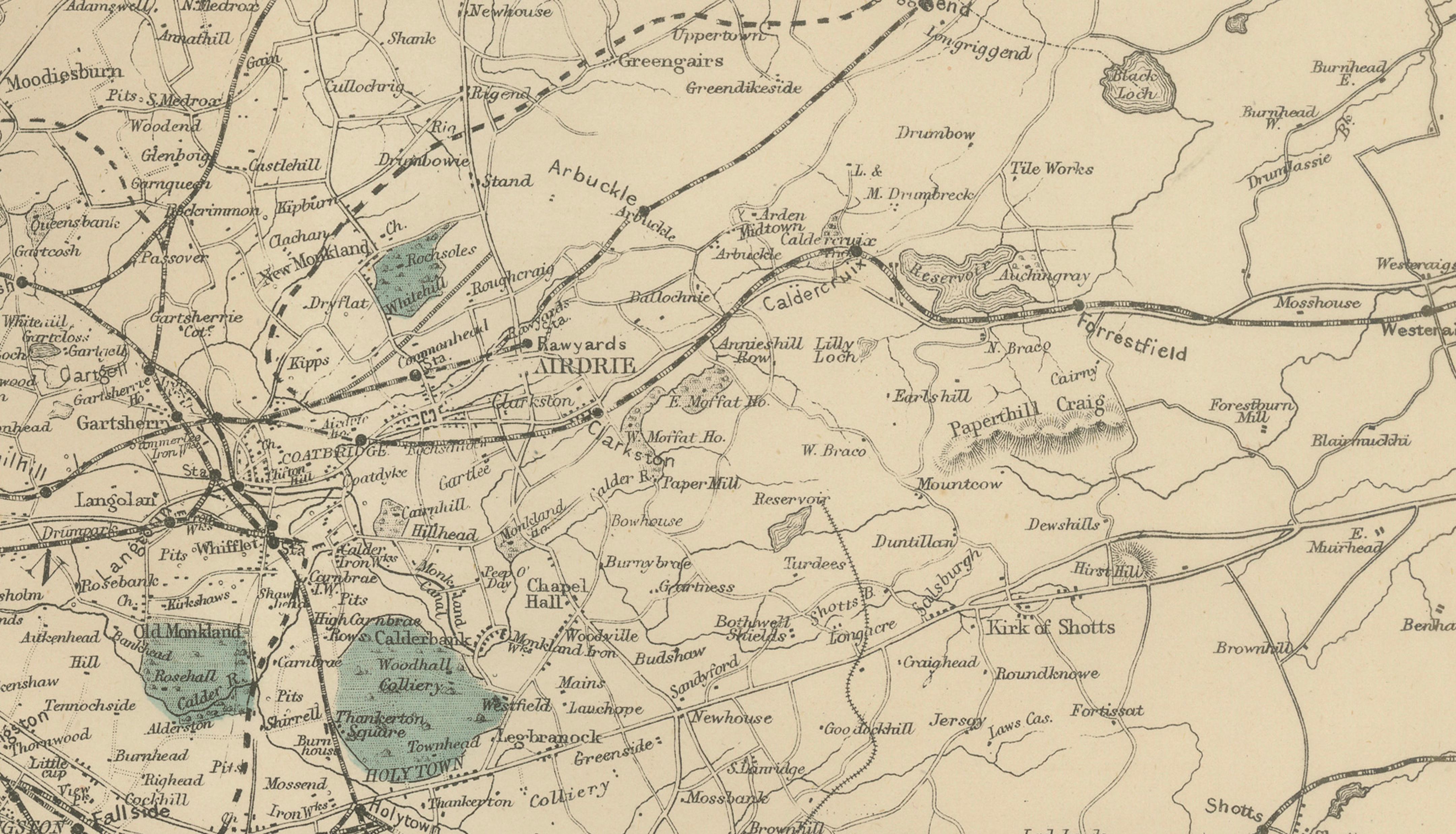
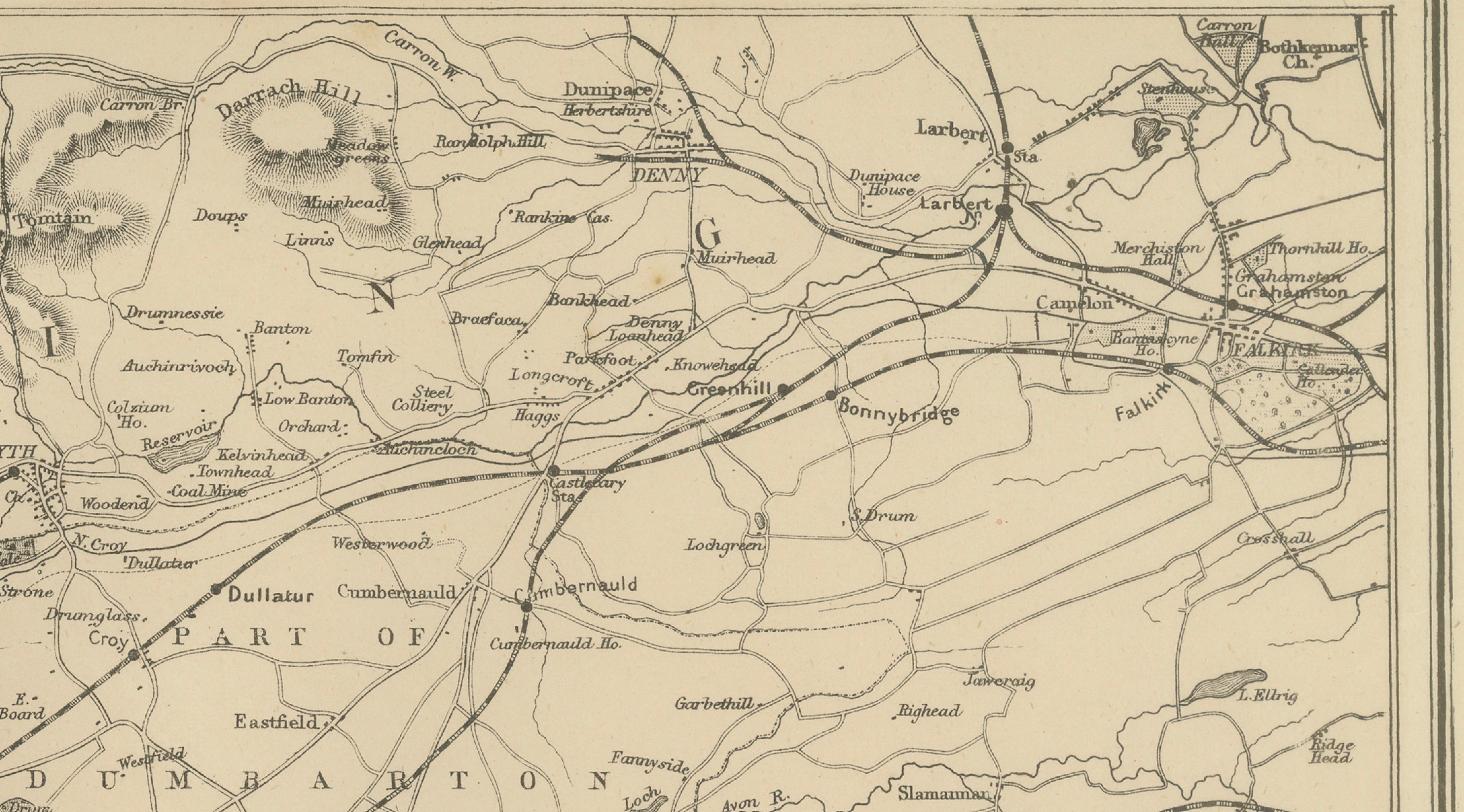
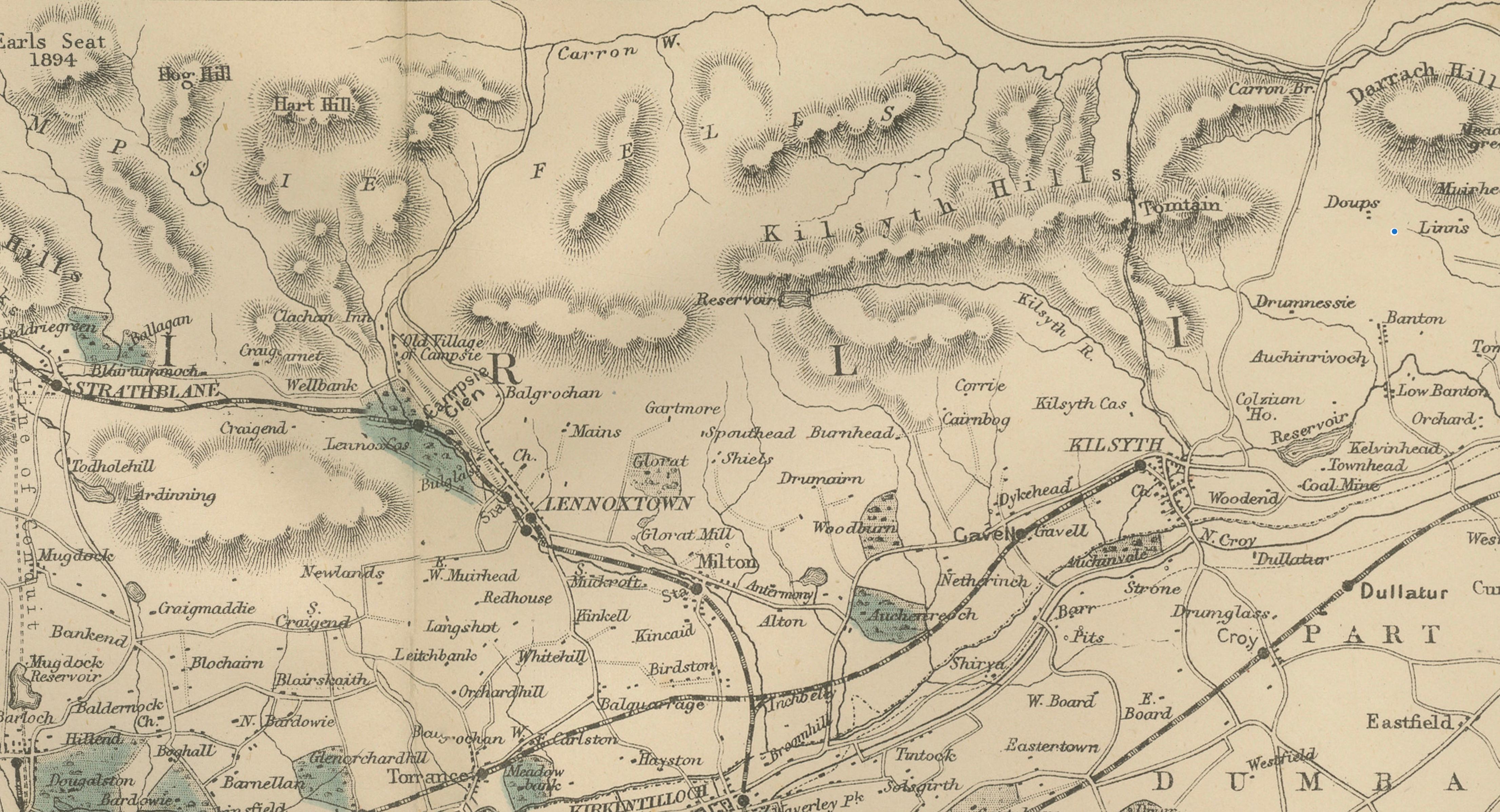
A finely detailed Victorian map illustrating Glasgow and its surrounding districts, offering a sweeping view of the city during the late nineteenth century when it stood among the most important industrial centers of the British Empire. This large-scale plan records not only the dense urban core of Glasgow but also the surrounding towns, railway networks, rivers, and landscapes that supported the city’s extraordinary growth.
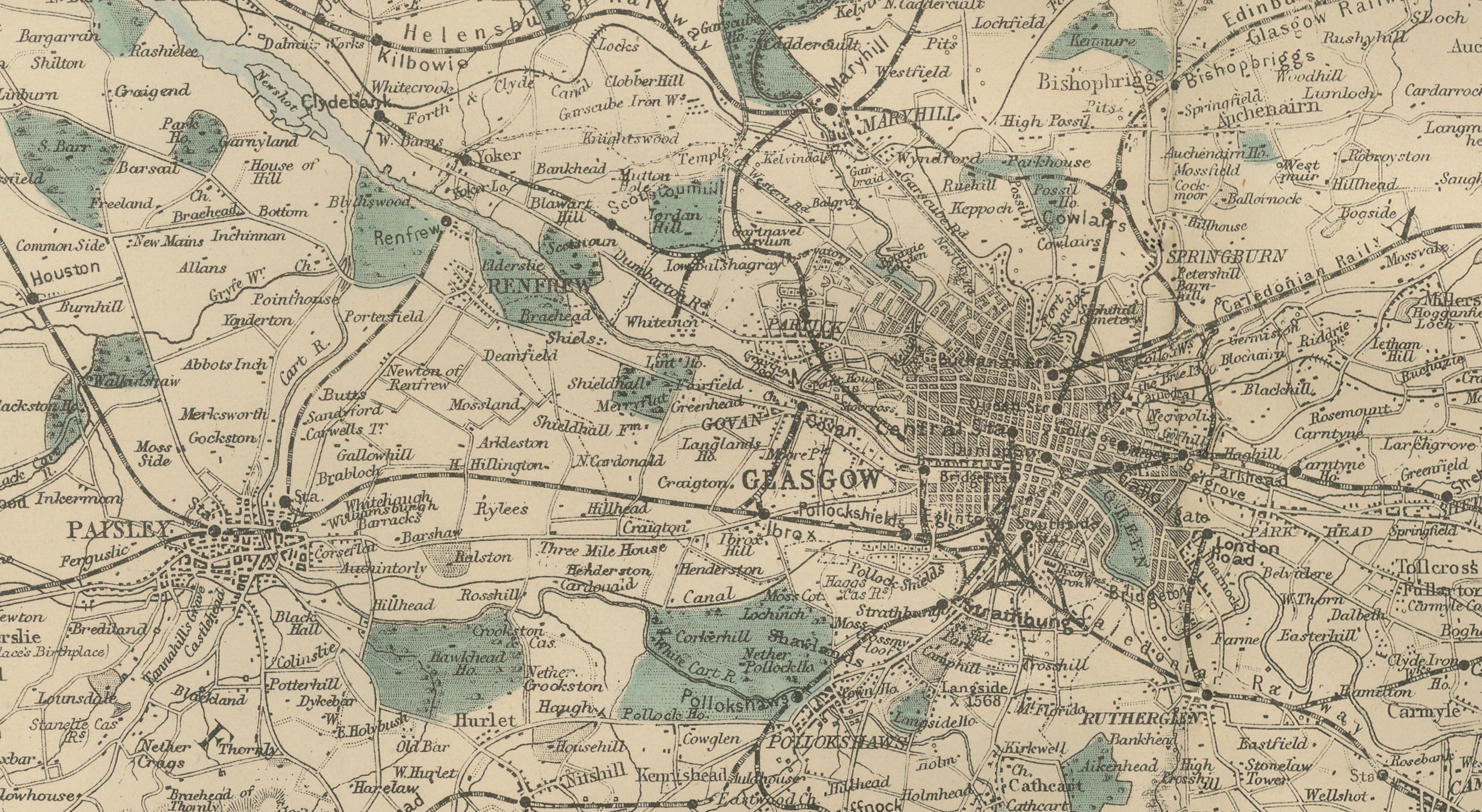
The map presents Glasgow as the central hub of an expanding metropolitan region. Rail lines radiate outward from the city, linking the industrial districts, suburban settlements, and surrounding countryside. The River Clyde, a defining geographic and economic feature of the region, is clearly depicted as it flows through the city and toward the western coastal areas that became synonymous with shipbuilding and maritime trade.
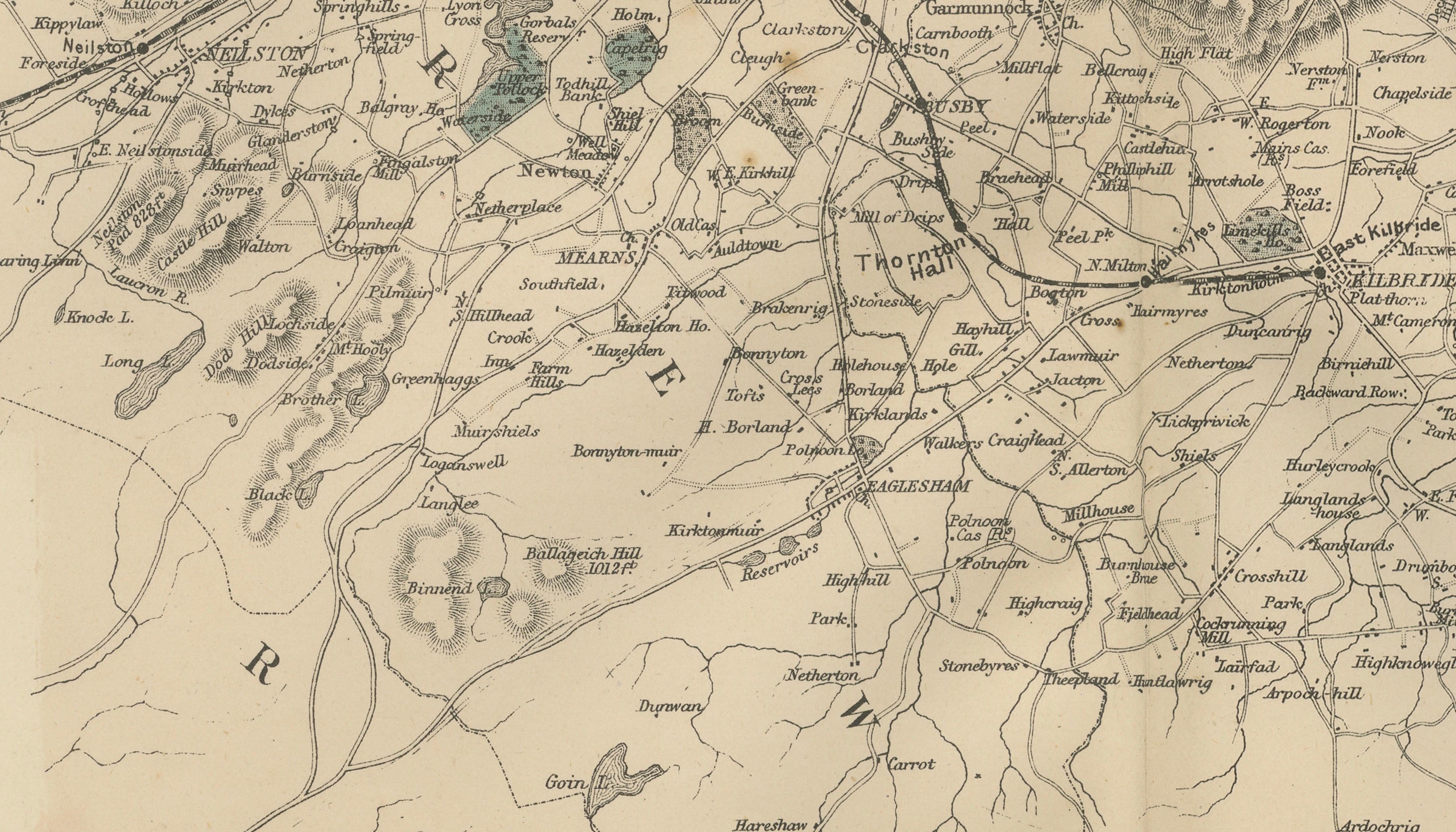
Delicate original hand coloring highlights lakes, reservoirs, and parklands, introducing subtle contrast against the finely engraved street networks and transport routes. The surrounding terrain, dotted with villages, estates, and agricultural land, illustrates the gradual transition from rural Scotland to the rapidly industrializing urban environment of the Victorian era.
Cartographically, the map reflects the remarkable precision of nineteenth-century British surveying. Roads, railway lines, waterways, and settlements are rendered with clarity and balance, giving the composition both documentary importance and visual harmony. The map functions equally well as a historical record and as an elegant decorative wall piece, particularly appealing to collectors interested in British industrial history or the development of major European cities.
Because the composition extends well beyond the city center, the map provides a broader geographical perspective rarely seen in standard town plans. It reveals how Glasgow connected to surrounding towns and transport corridors, making it an excellent visual reference for the historical geography of western Scotland.
Today, such Victorian regional maps are valued for their combination of fine engraving, historical significance, and understated decorative qualities. The restrained palette and intricate linework make this example especially suitable for display in studies, libraries, offices, or contemporary interiors seeking historical depth and graphic elegance.
Condition:
Good antique condition overall. Light age-related toning with scattered spotting typical of nineteenth-century paper. Original center fold as issued. Minor margin wear consistent with atlas plates; strong impression and attractive overall appearance.
Framing Tips:
Works beautifully in a dark walnut or black frame with a generous ivory mat to emphasize the large panoramic composition. The detailed linework also pairs well with minimalist framing for a contemporary interior setting.
Technique: Lithographic map with original hand color
Maker: Edward Weller, London, 1885
Keyword Block:
antique map, Glasgow map, Scotland map, Victorian city map, 1885 map, Edward Weller map, Glasgow city plan, British cartography, antique town plan, Scottish historical map, River Clyde map, industrial era map, antique lithograph map, 19th century map, Victorian urban map, decorative antique map, antique wall map, library decor map, study wall art, British Isles map, historical geography print, antique atlas plate, architectural cartography, collectible British map, museum style map, interior designer wall art, antique Scotland print, Bartele Gallery maps.
Places visible on the map: Partick, Govan, Govanhill, Maryhill, Springburn, Dennistoun, Shettleston, Baillieston, Carmyle, Rutherglen, Cambuslang, Newton, Blantyre, Hamilton, Motherwell, Bellshill, Holytown, Wishaw, Carluke, Larkhall, Stonehouse, Strathaven, Bothwell, Uddingston, Broomhouse, Tollcross, Parkhead, Bridgeton, Calton, Pollokshields, Pollokshaws, Cathcart, Mount Florida, Langside, Shawlands, Crosshill, Newlands, Clarkston, Busby, Eaglesham, Newton Mearns, Giffnock, Thornliebank, Barrhead, Neilston, Johnstone, Kilbarchan, Bridge of Weir, Houston, Linwood, Erskine, Bishopton, Langbank, Renfrew, Paisley, Elderslie, Inchinnan, Abbey, Yoker, Scotstoun, Whiteinch, Anniesland, Jordanhill, Bearsden, Milngavie, Baldernock, Strathblane, Lennoxtown, Campsie, Kirkintilloch, Lenzie, Bishopbriggs, Cadder, Stepps, Muirhead, Chryston, Moodiesburn, Gartcosh, Coatbridge, Airdrie, Chapelhall, Calderbank, Salsburgh, Shotts, Newmains, Carfin, Cleland, Quarter, Lesmahagow, Douglas, Dalserf, Cambusnethan, Stonefield, Dalziel, Carntyne, Provanmill, Riddrie, Easterhouse, Robroyston, Balornock, Possilpark, Kelvindale, Hillhead, Kelvinbridge, Partickhill. Major industrial towns around Glasgow in 1885 included Glasgow, Paisley, Renfrew, Govan, Partick, Rutherglen, Cambuslang, Hamilton, Motherwell, Coatbridge, Airdrie, Bellshill, Wishaw, Shotts, Barrhead, Johnstone...