About this sheet
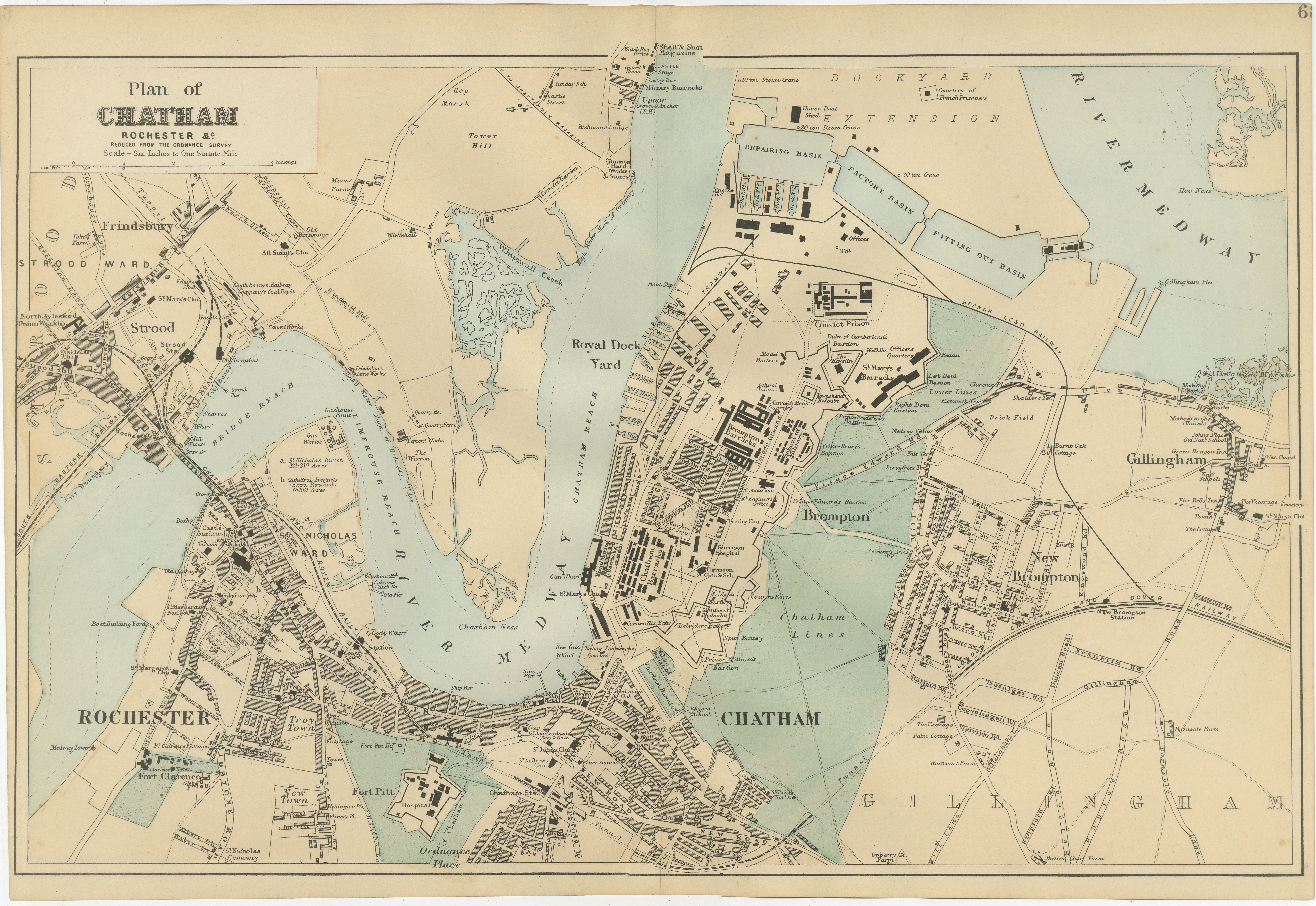
Decorative Map of Chatham, Rochester and Gillingham, Victorian Naval Dockyard Plan, 1885
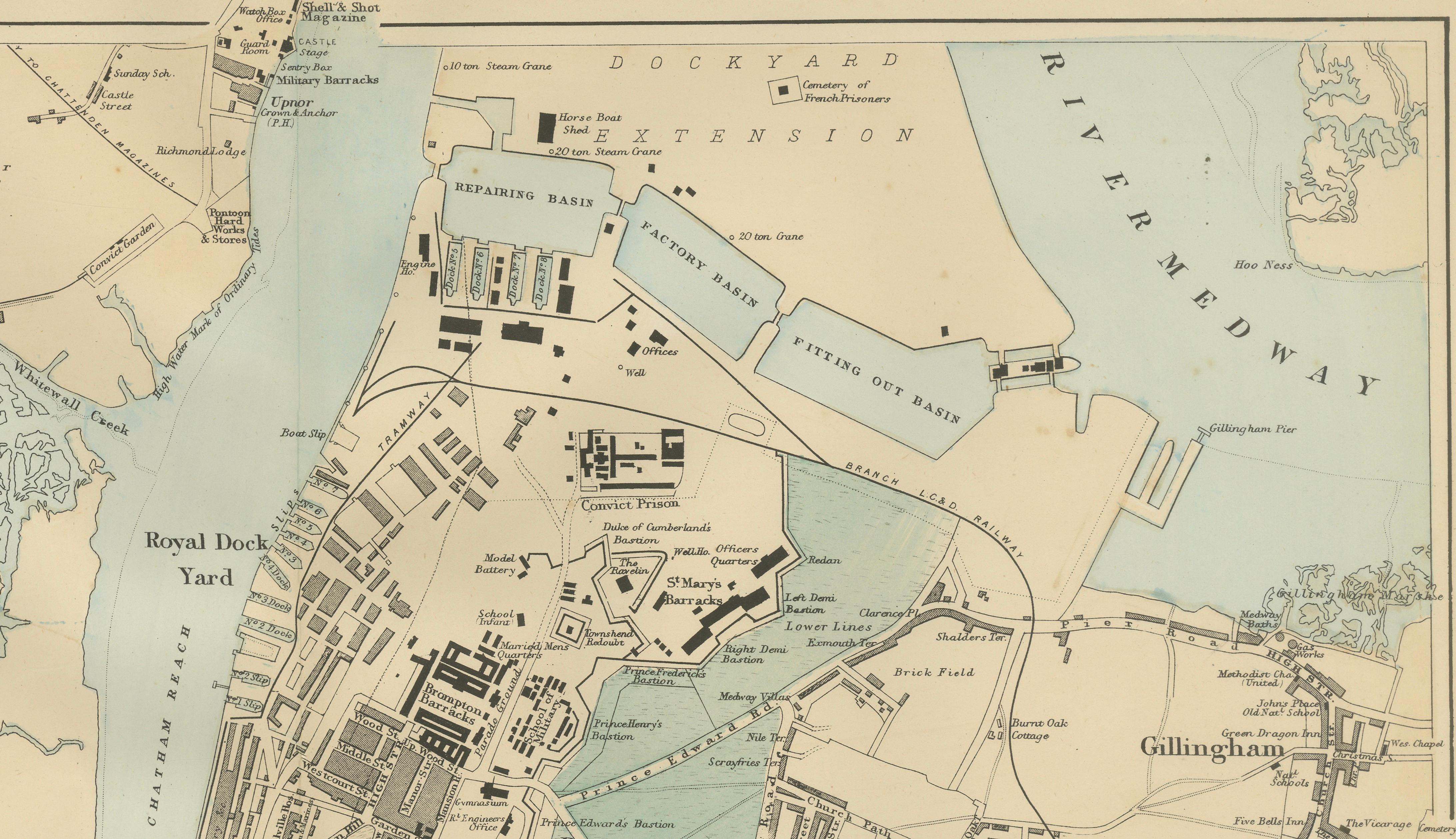
This finely detailed Victorian map titled “Plan of Chatham, Rochester &c.” presents the historic Medway towns at the height of Britain’s naval and industrial power in the late nineteenth century. Published in 1885, the map captures one of the most strategically important military and shipbuilding regions in England, centered around the Royal Dockyard at Chatham.
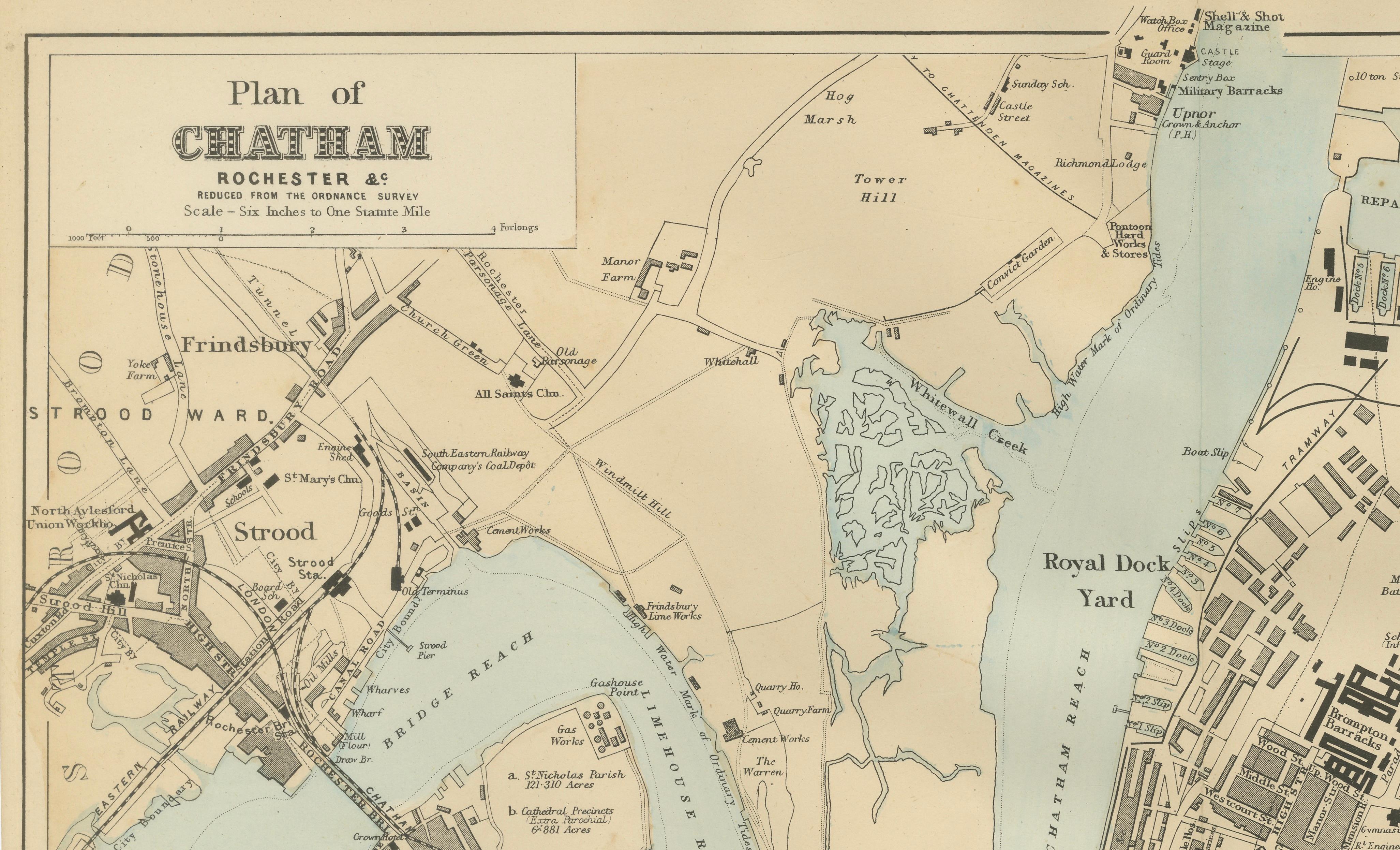
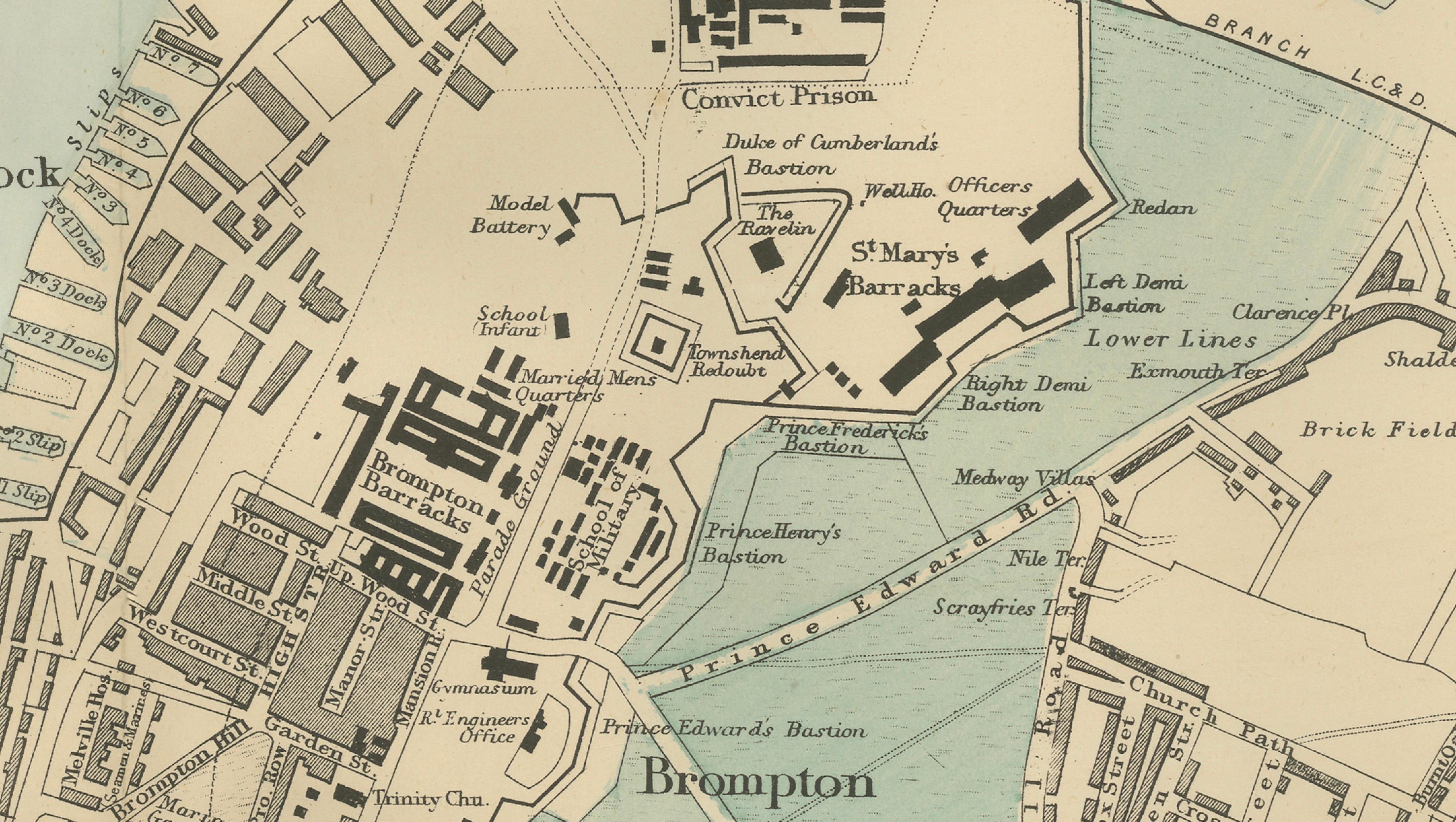
The River Medway dominates the composition, curving through the map and connecting the towns of Rochester, Chatham, and Gillingham. Along its banks, the extensive Chatham Dockyard is depicted in remarkable detail, including basins, slips, dock extensions, and industrial structures that supported the construction and repair of Royal Navy vessels. Features such as the Dockyard Extension, Repairing Basin, and various yards and workshops highlight the complexity and scale of naval operations during the Victorian era.
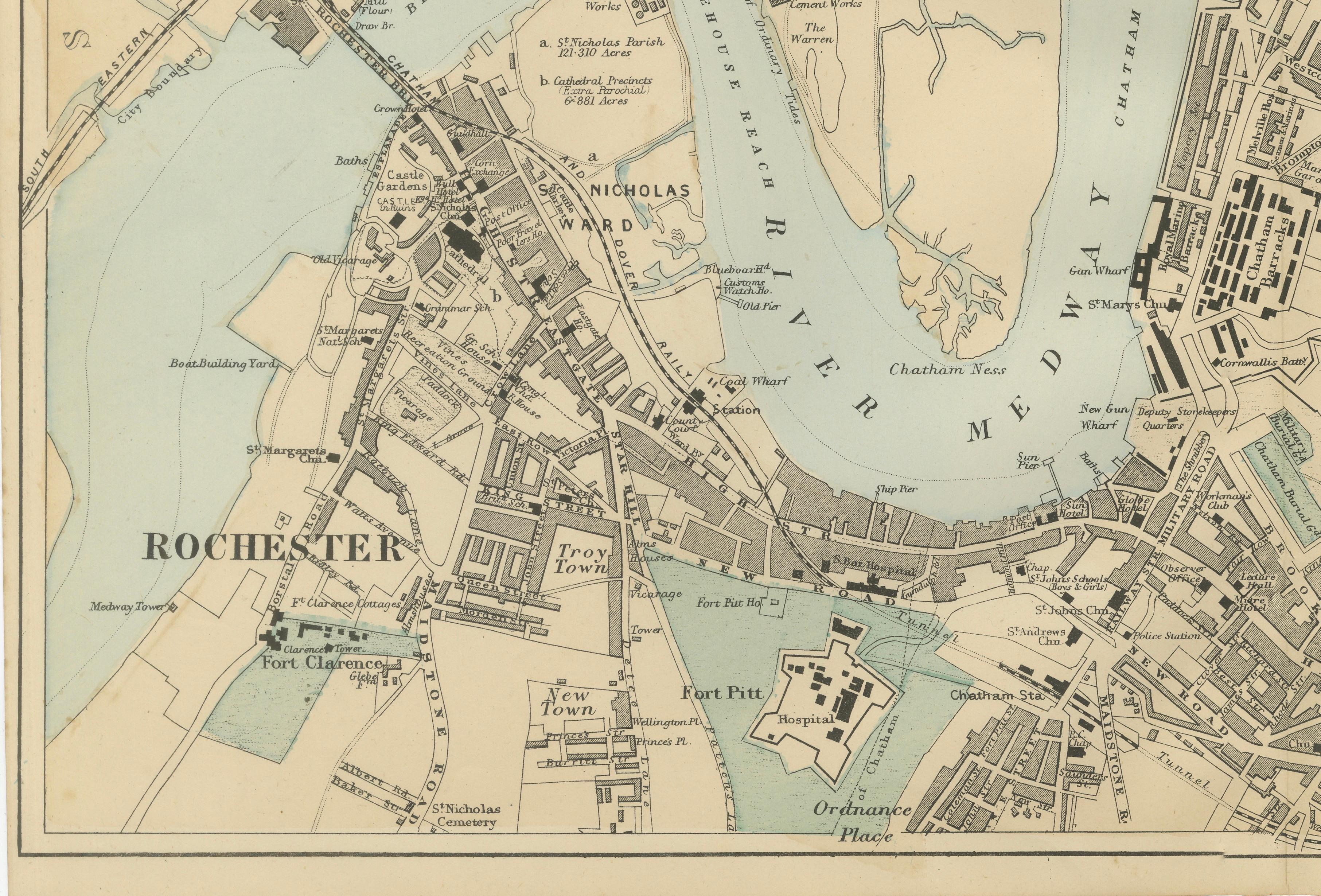
To the west lies the historic city of Rochester, with its medieval street plan, cathedral precinct, and fortified structures. Landmarks such as Rochester Castle and the surrounding urban layout reflect the city’s long history as a strategic crossing point over the Medway. The bridge linking Rochester and Strood is clearly shown, emphasizing its importance as a transport route.
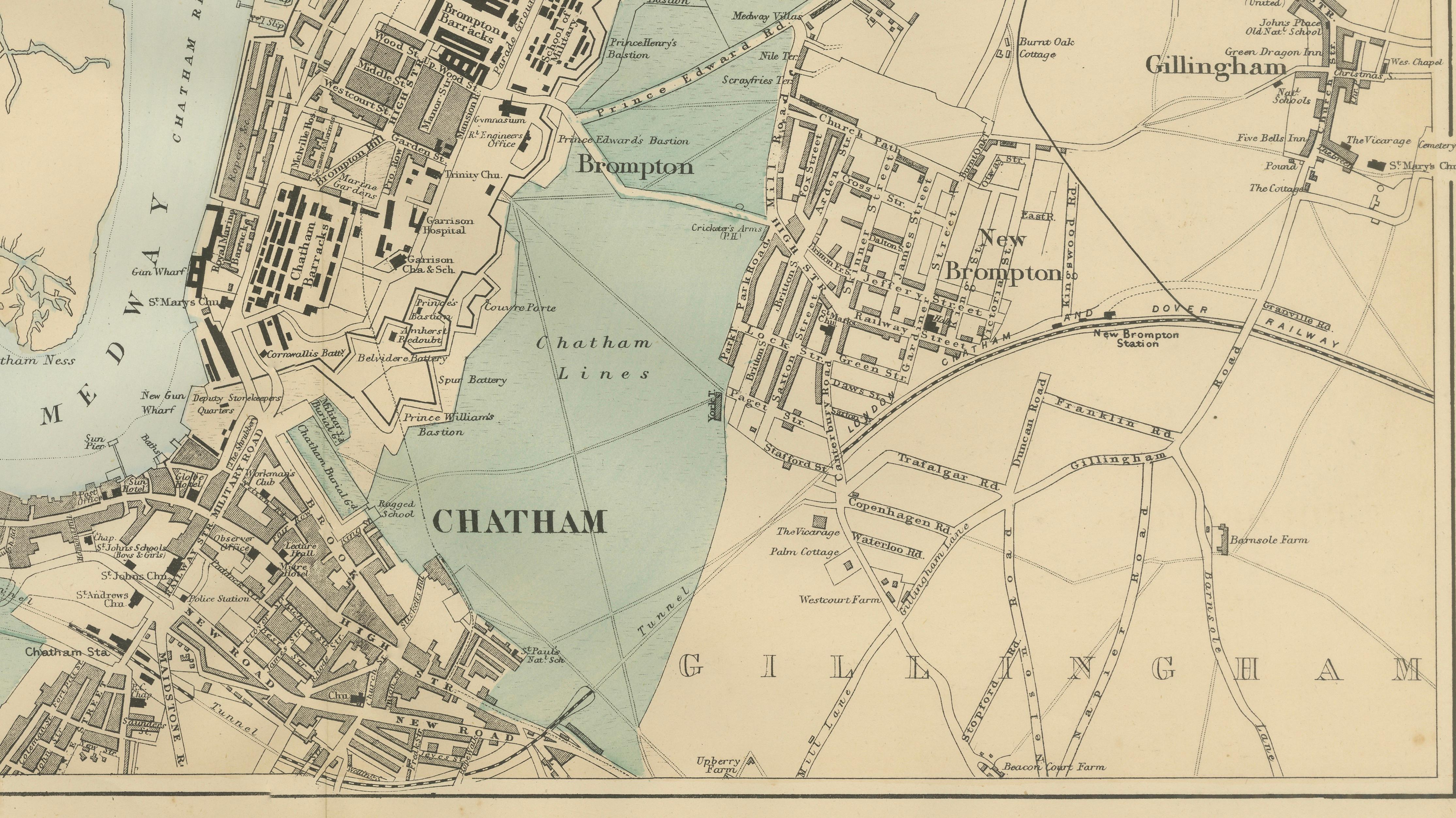
Chatham occupies the central portion of the map, with its dense network of streets, military installations, and defensive lines. The Brompton Barracks and surrounding fortifications illustrate the area’s military significance, while nearby Chatham Lines and open green spaces provide a contrast to the built environment.
To the east, Gillingham appears as a growing town with expanding residential areas, railway connections, and open land transitioning into the countryside. The map also includes surrounding districts such as Strood, Frindsbury, Brompton, and New Brompton, illustrating the interconnected nature of the Medway towns.
The map is executed with fine lithographic precision, combining intricate linework with subtle original hand coloring to distinguish water, parks, and military grounds. The balanced composition and clear labeling make it both a valuable historical document and an attractive decorative piece.
This is an original 19th-century lithograph, not a reproduction. All items we offer are authentic period works of art over 100 years old. The print is sold unframed; any framed images are shown for presentation and interior inspiration only.
Condition
Very good antique condition. Light age-related toning and minor spotting consistent with nineteenth-century paper. Original center fold as issued. Margins remain complete and well preserved.
Framing tips
This map works beautifully in a wide horizontal frame. A dark walnut or black frame with an ivory mat enhances the fine Victorian detail and creates a refined, museum-quality presentation. Ideal for maritime-themed interiors, studies, or collectors of naval history.
Technique: Lithograph with original hand color
Maker: Edward Weller, London, 1885
Keyword Block
antique map, Chatham map, Rochester map, Gillingham map, Medway map, Victorian naval map, 1885 map, Chatham Dockyard, Royal Dockyard Chatham, River Medway map, Rochester Castle, Rochester Cathedral, Brompton Barracks, Chatham Lines, naval shipyard map, British Navy history, maritime England map, dockyard plan, Victorian England map, British military map, antique lithograph map, 19th century map, decorative wall map, architectural map, urban planning map, historical geography, collector map, maritime history print, interior designer wall art, Medway towns map, Strood, Frindsbury, Brompton, New Brompton, Fort Pitt, Upnor Castle, naval engineering history, Bartele Gallery maps