About this sheet
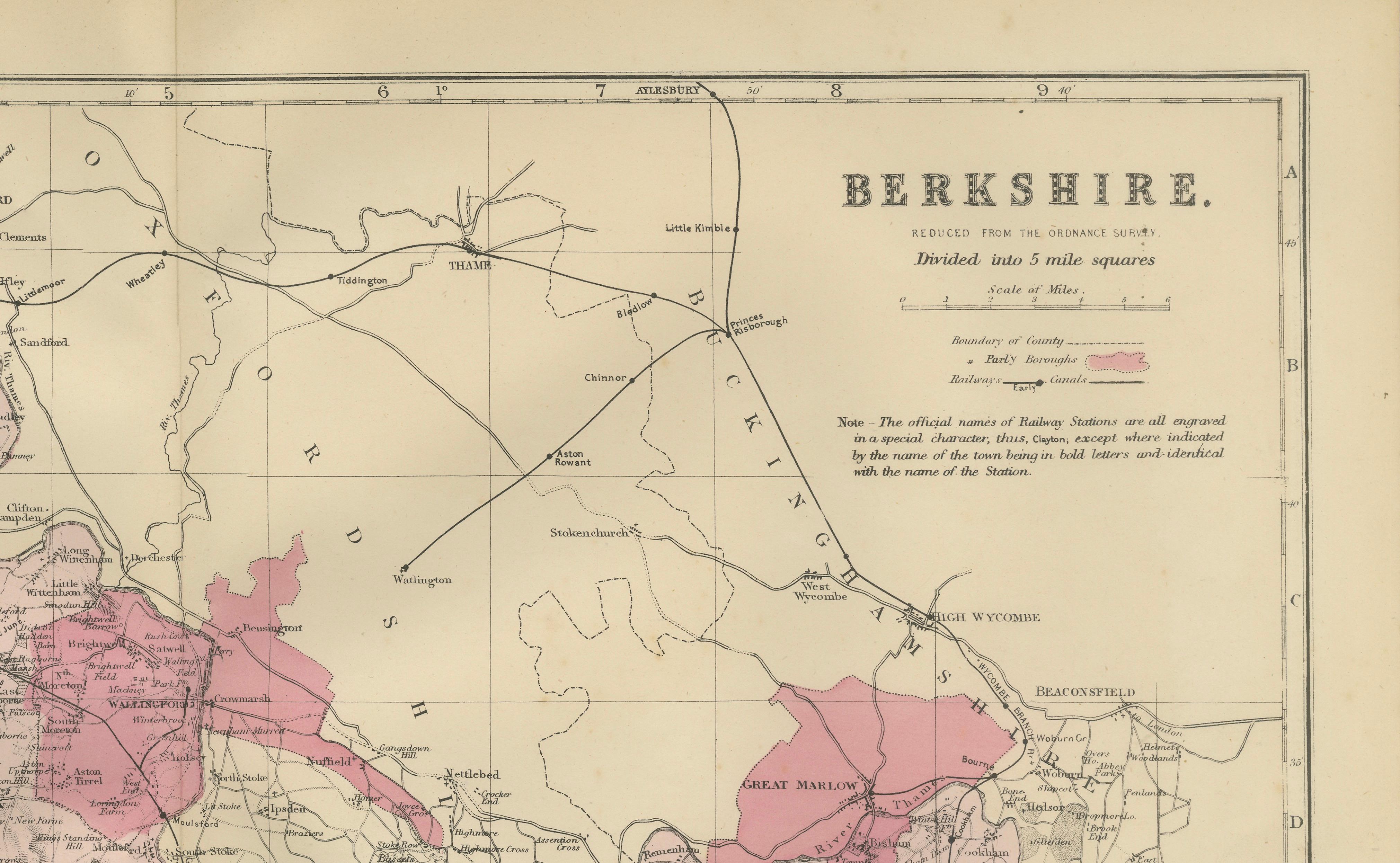
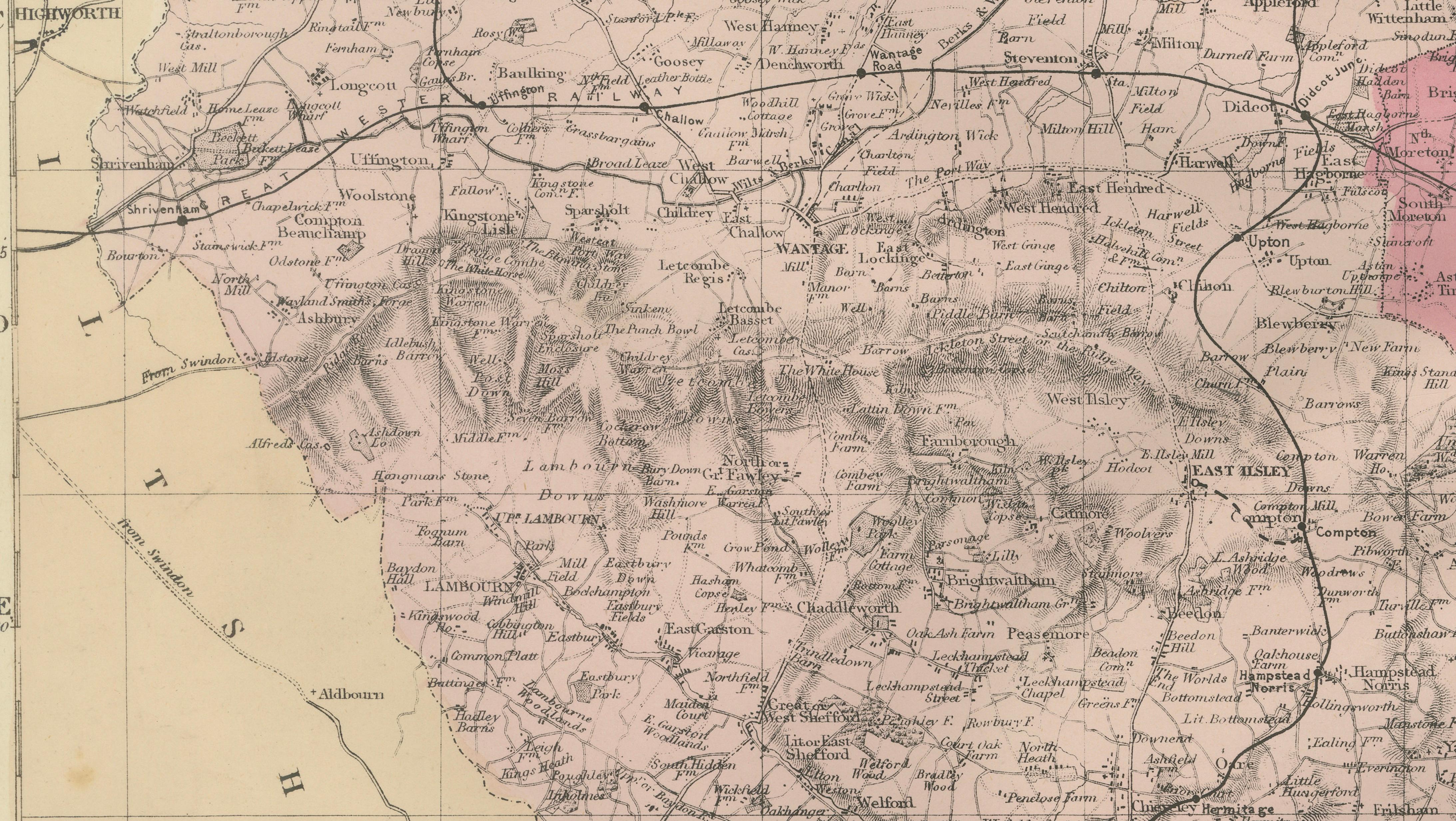
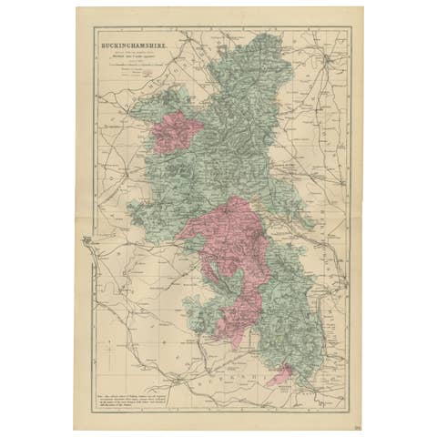
Antique Map of Berkshire, 1885 – Victorian Railways, Towns & County Detail
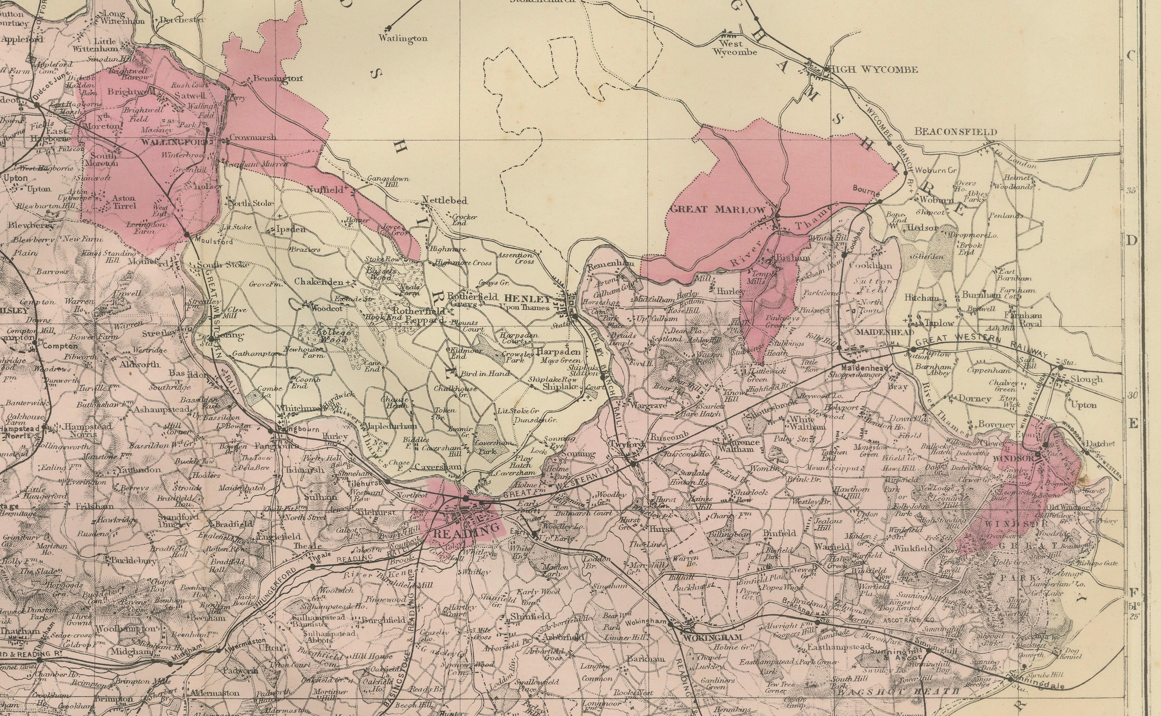
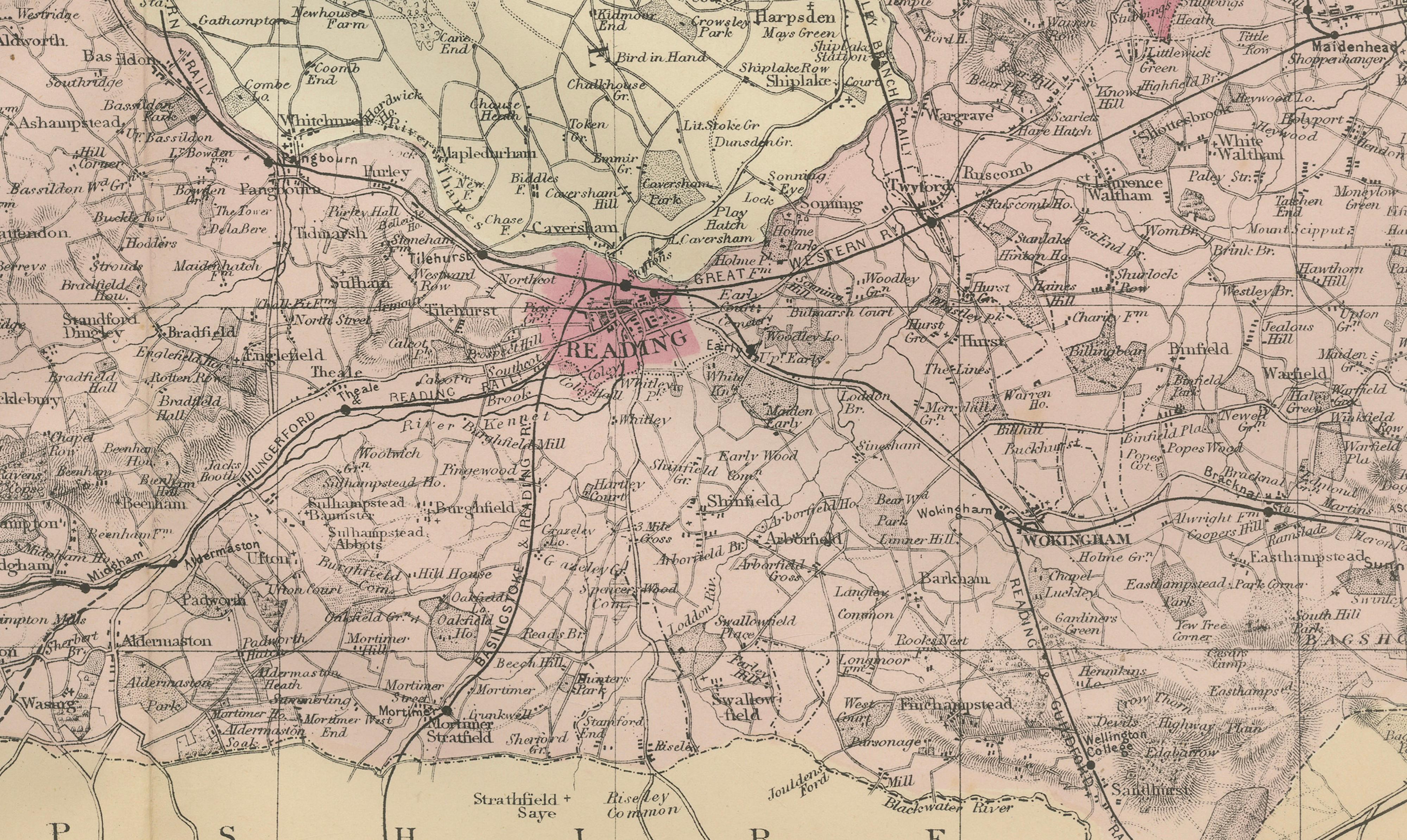
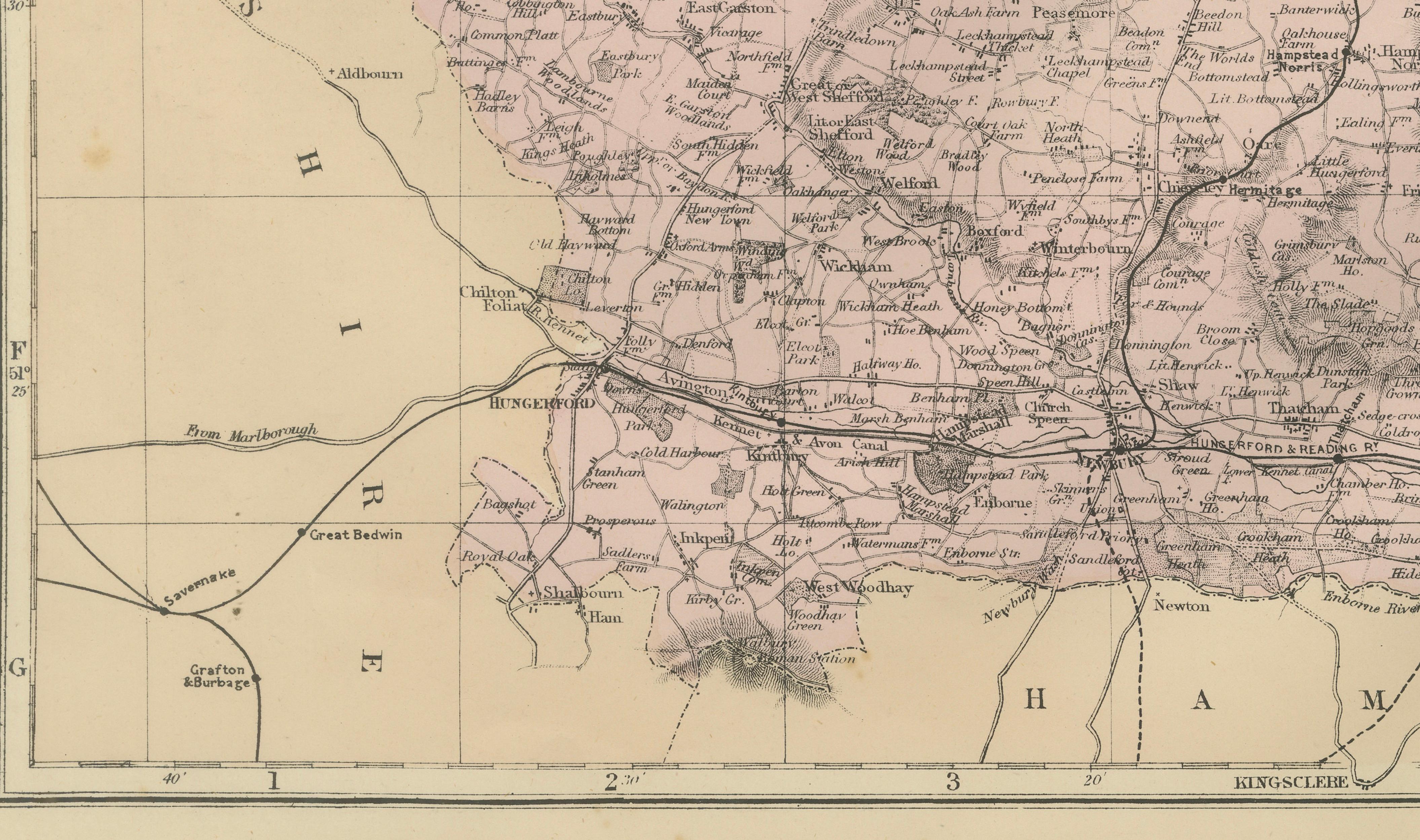
This elegant antique map of Berkshire was published in 1885 by George W. Bacon in London as part of the *New Large Scale Ordnance Atlas of the British Isles with Plans of Towns*. Reduced from official Ordnance Survey mapping, it presents the county with exceptional clarity, showing towns, villages, railways, rivers, roads, and administrative boundaries in a dense yet well-balanced composition.
NOTE: The map is offered unframed, giving flexibility to select a frame that best suits the intended interior. The attached image of the map in a frame is an impression only.
The county is rendered in soft original color, with Reading prominently highlighted, while neighboring counties are subtly outlined to provide geographic context. The extensive Victorian railway network gives the map strong visual structure and reflects the rapid industrial and infrastructural development of late 19th-century England. Fine engraving, careful typography, and restrained coloring make this sheet especially appealing as decorative wall art.
From an interior-design perspective, this map offers both detail and calmness. It works well in studies, libraries, offices, or residential interiors, adding historical character without overwhelming a space. The pastel tones and orderly layout make it suitable for both traditional and contemporary settings.
Condition Report:
Good antique condition. Light age toning and scattered spotting consistent with age. No major tears or losses; details remain crisp and legible.
Framing Tips:
A dark wood, black, or ebonized frame complements the historic character. An ivory or warm off-white mat enhances the subtle coloring and keeps the presentation refined.
Technique: Lithograph with original color
Maker: George W. Bacon, London, 1885