About this sheet
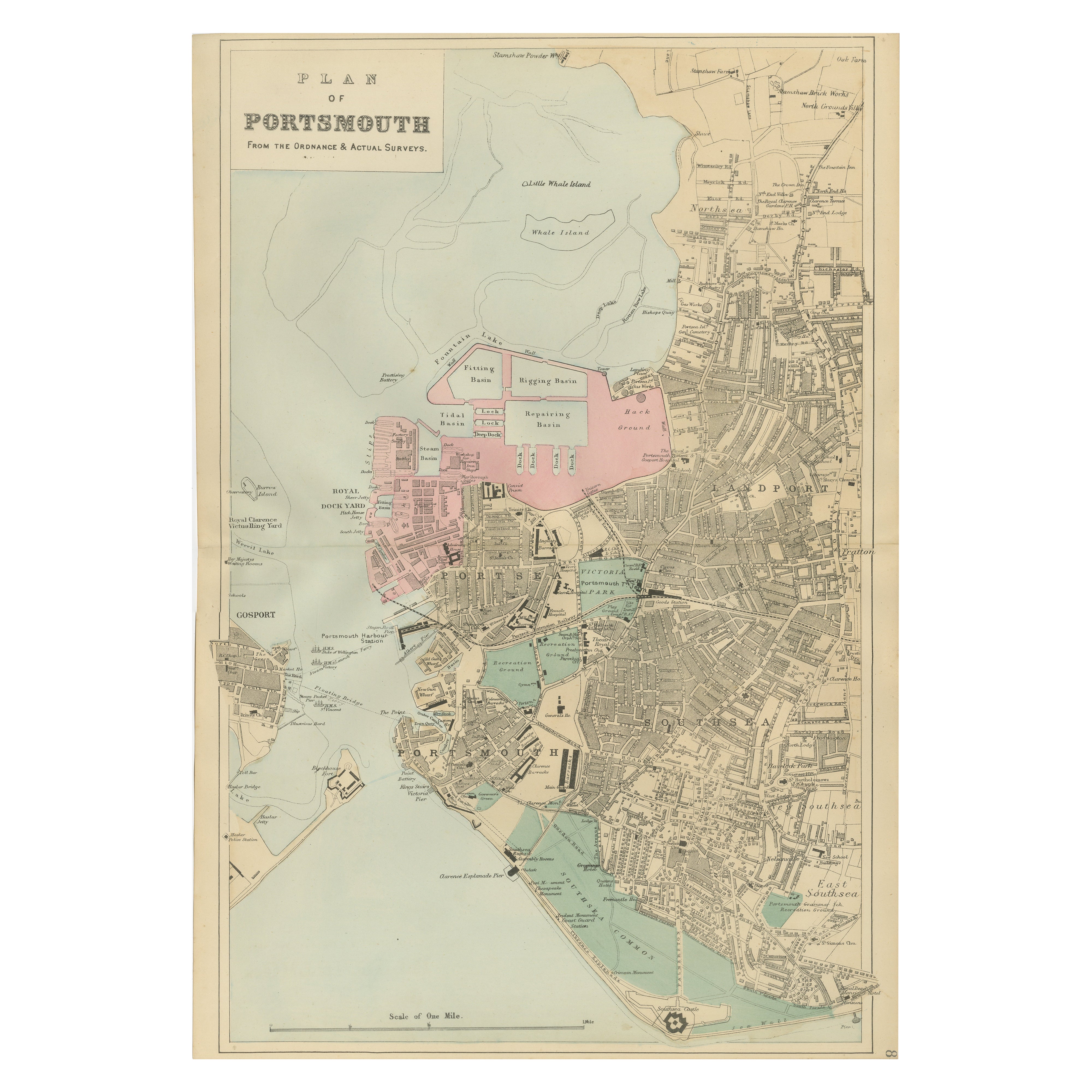
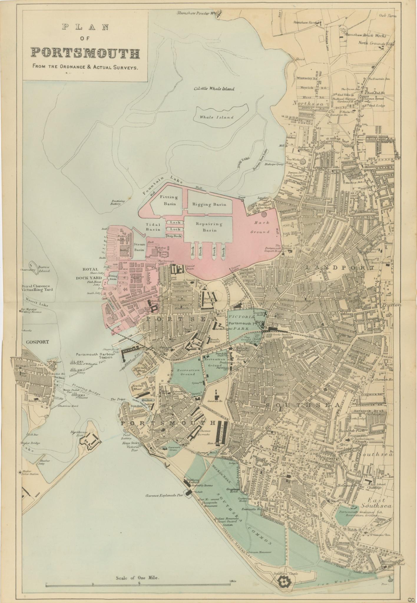
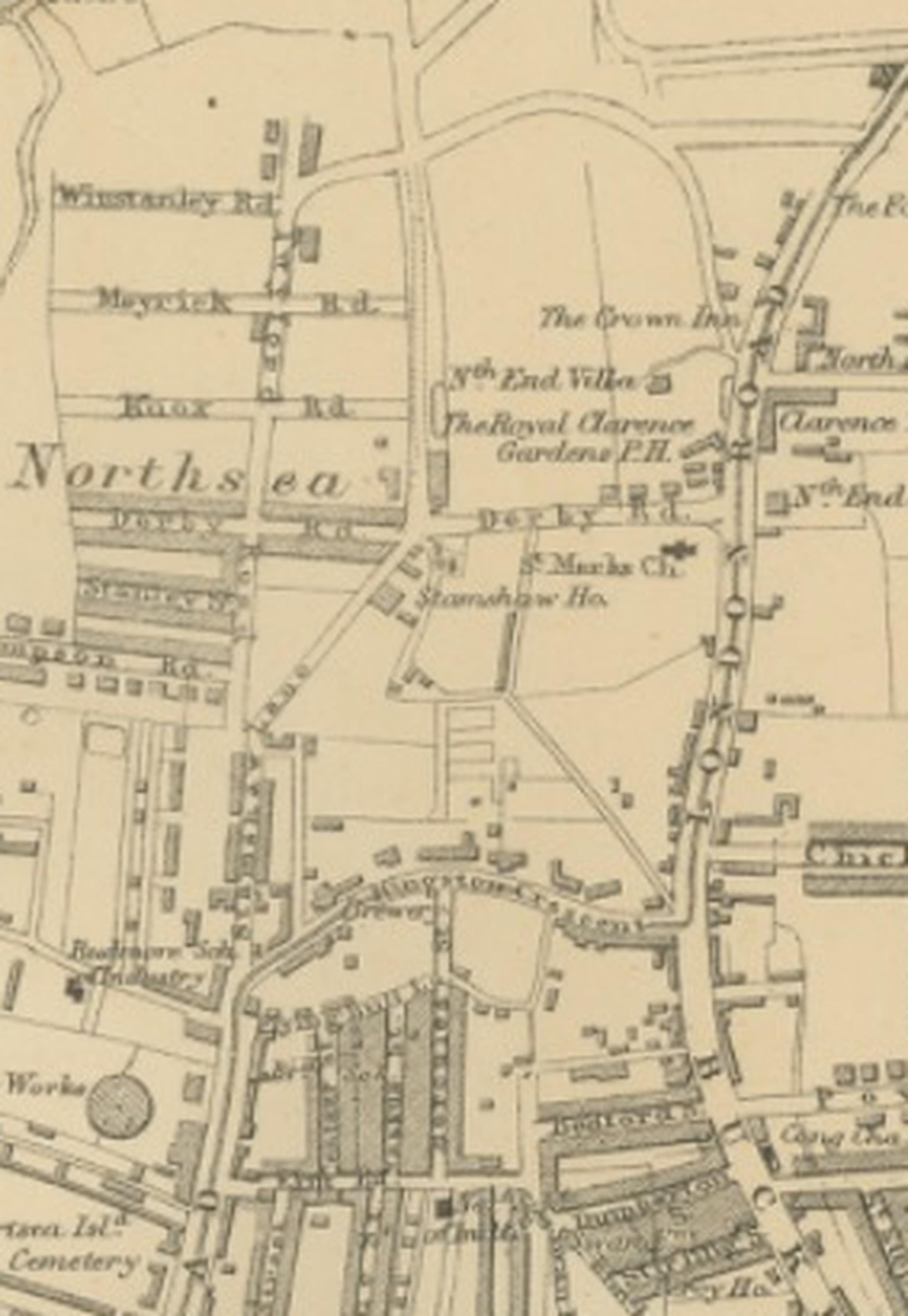
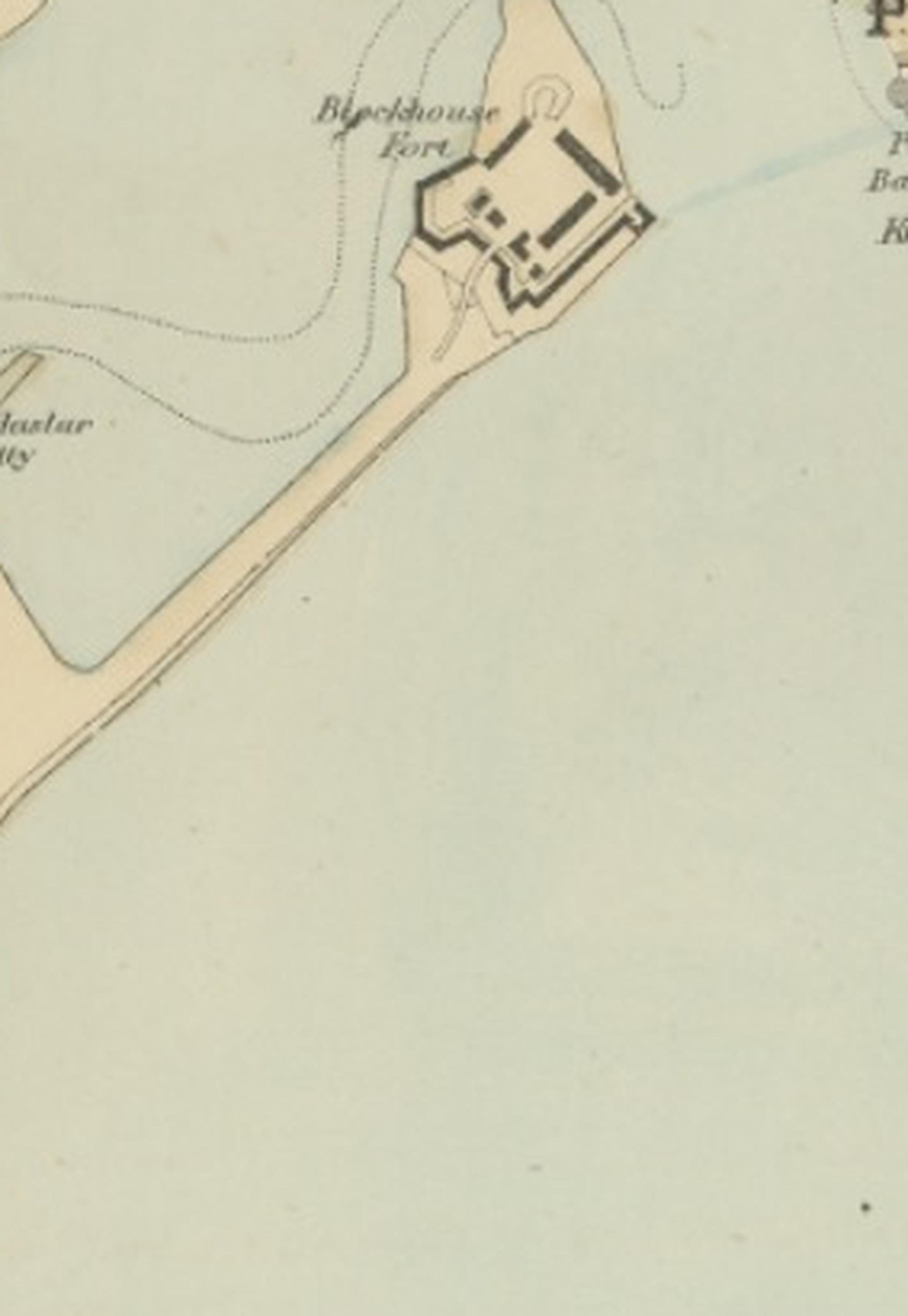
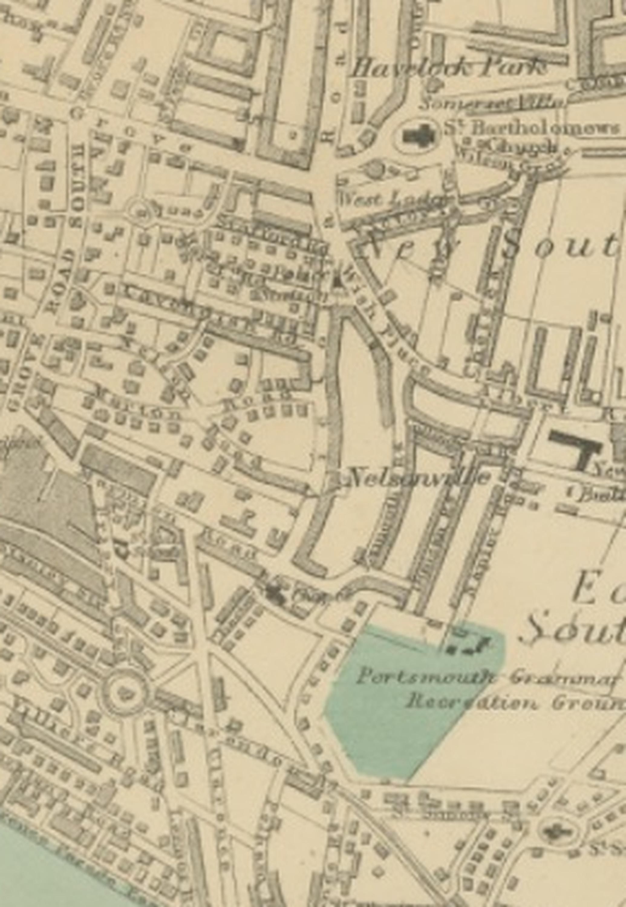
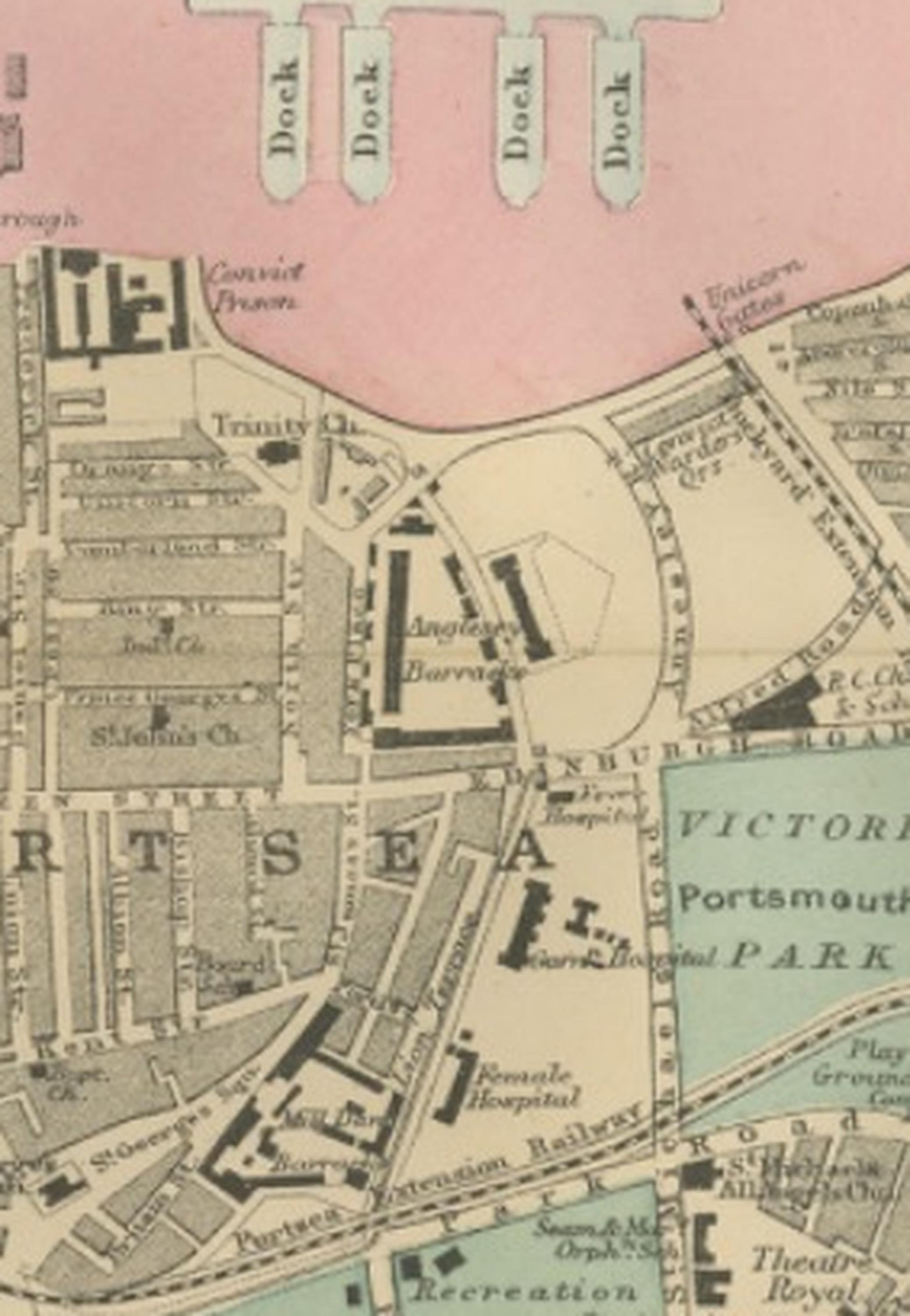
Plan of Portsmouth – Antique Town Map, George W. Bacon, Ordnance Atlas, 1885
This finely engraved and attractively coloured town plan of Portsmouth was published in 1885 by the London cartographer George W. Bacon as part of the New Large Scale Ordnance Atlas of the British Isles with Plans of Towns. Based on Ordnance and actual surveys, the map reflects the Victorian era’s dedication to precise cartography and urban documentation, capturing Portsmouth during a period when it stood at the forefront of Britain’s naval power and maritime infrastructure.
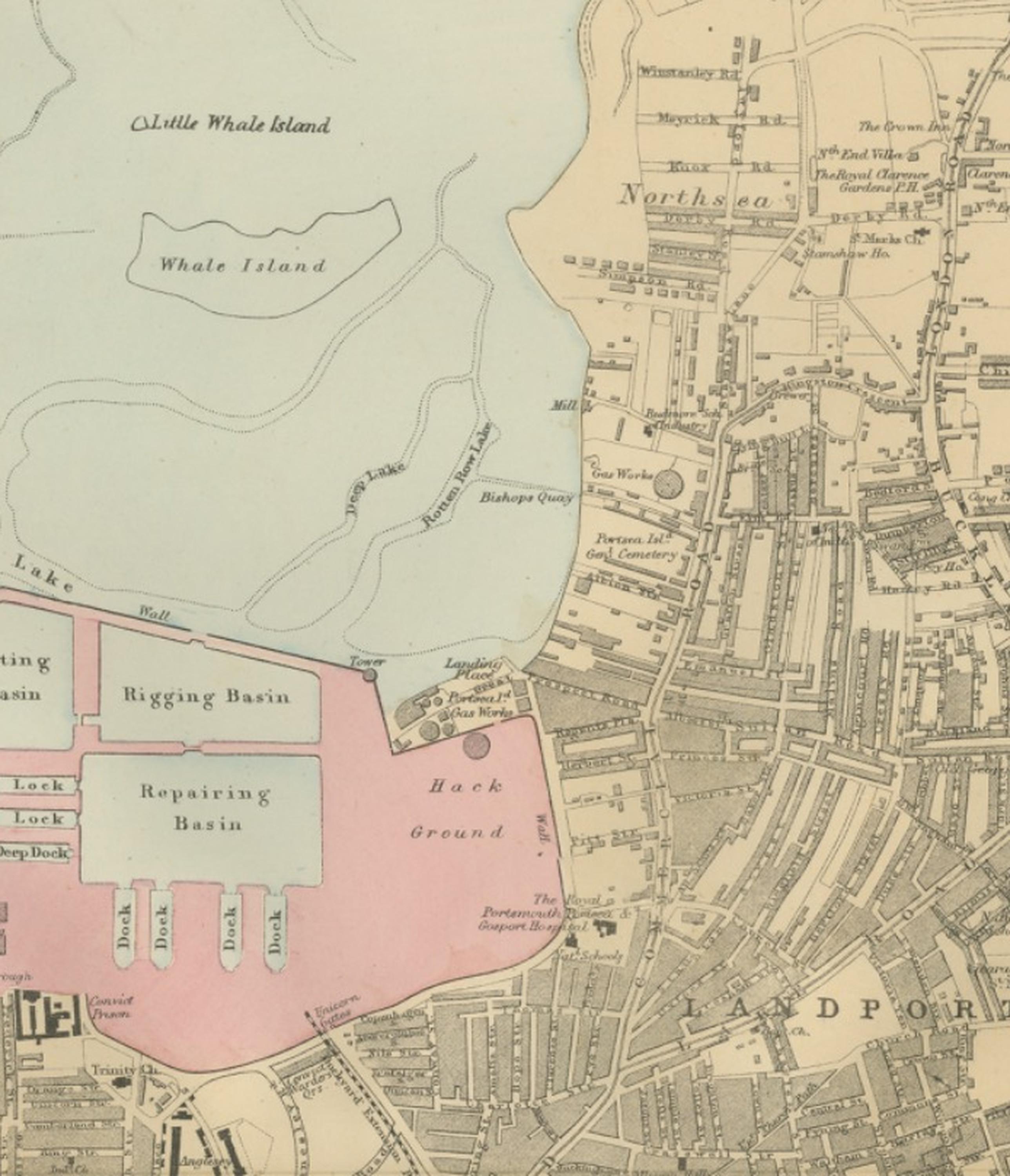
The plan presents a detailed overview of Portsmouth’s dense urban fabric and strategic harbour environment, combining architectural clarity with decorative appeal. Streets, railway lines, docks, fortifications, and public spaces are rendered with precision, offering a comprehensive view of the naval town’s structure. The Royal Dockyard is prominently illustrated, revealing the basins, fitting docks, repairing basins, and rigging areas that formed the operational heart of Britain’s naval industry. The surrounding harbour landscape, including Whale Island and Little Whale Island, highlights Portsmouth’s geographic and strategic importance within the Solent.
Distinct districts such as Portsea, Landport, Southsea, and East Southsea are clearly delineated, showing residential expansion alongside military and naval installations. Public parks and recreation grounds appear in soft green tones, balancing the dense built environment with open spaces. Notable landmarks and civic buildings contribute to the map’s strong visual rhythm, while the harbour edges and waterfront structures provide insight into nineteenth-century maritime logistics.
Bacon’s engraving style combines clarity and elegance, making the map appealing both as a historical document and as a decorative artwork suitable for contemporary interiors. Its balanced composition and subtle colouring lend themselves well to framing, whether displayed in a study, coastal home, office, or modern gallery setting. For collectors of British maritime history, naval cartography, or Victorian urban planning, this map offers a compelling representation of Portsmouth at the height of its importance.
Condition report: Very good condition for its age, with light age toning consistent with nineteenth-century paper. Minor handling marks and faint marginal wear may be present. The engraving remains crisp and well-defined with attractive original colouring. Please examine images for precise condition details.
Framing tips: The map is offered unframed, allowing flexibility to select a frame that best suits the intended interior. A dark walnut or classic black frame paired with an ivory or off-white mat enhances the period character, while a slim contemporary frame suits modern interiors seeking a refined historical accent.
Technique: Engraving with original hand colouring
Maker: George W. Bacon, London, 1885
SEO keyword block:
Portsmouth antique map, Plan of Portsmouth 1885, George W Bacon map, Ordnance Atlas town plan, Royal Dockyard Portsmouth, Portsmouth Harbour historical map, Portsea, Landport, Southsea, East Southsea, Whale Island, Little Whale Island, Gosport, Solent harbour map, naval dockyard basins fitting basin rigging basin repairing basin, Victorian naval town plan England, Hampshire maritime map, Clarence Esplanade Pier, Southsea Castle, Portsmouth Harbour Station, Royal Clarence Victualling Yard, naval fortifications Britain, historic British port map, nineteenth century city plan, decorative antique maritime chart, coastal England historical cartography.