About this sheet
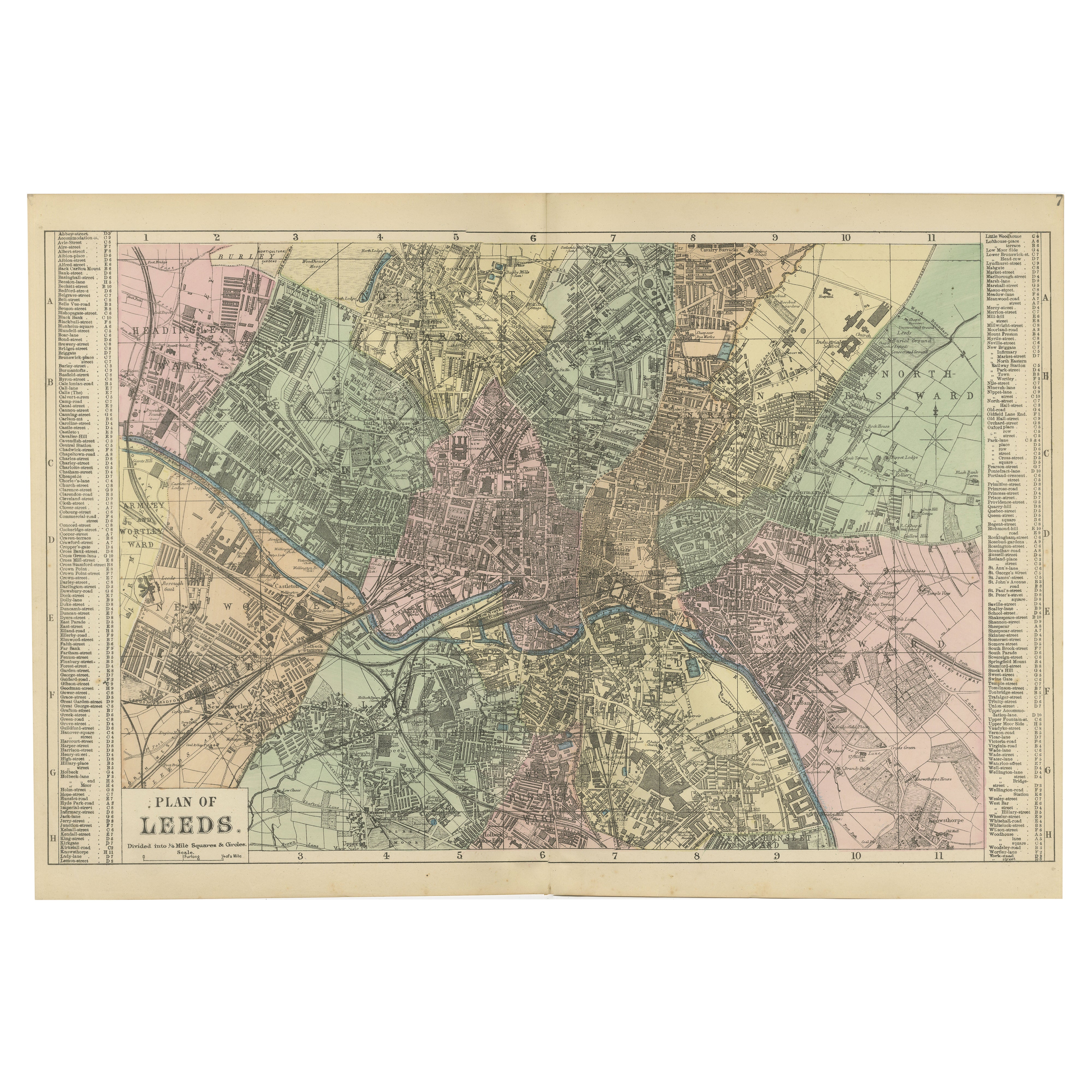
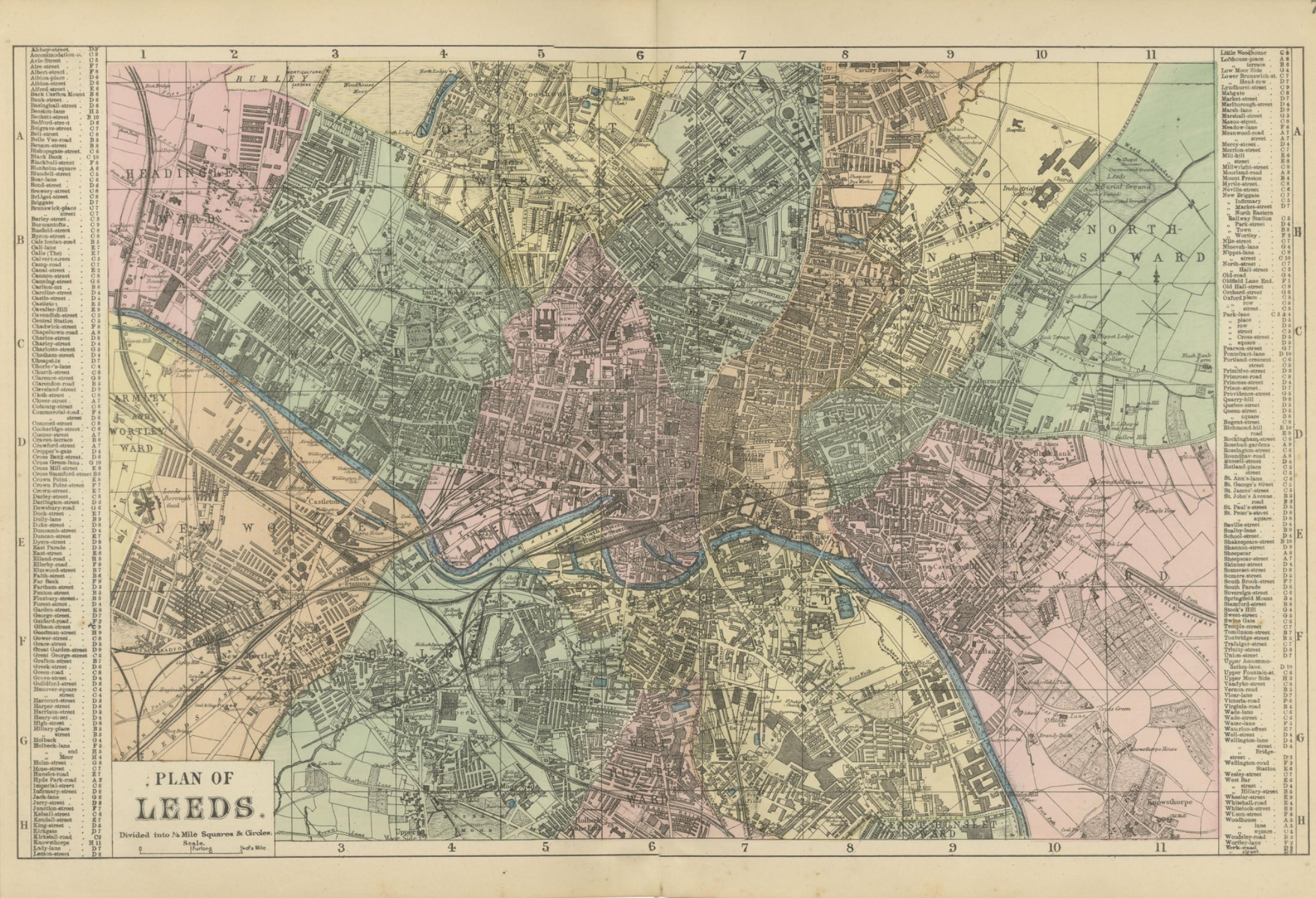
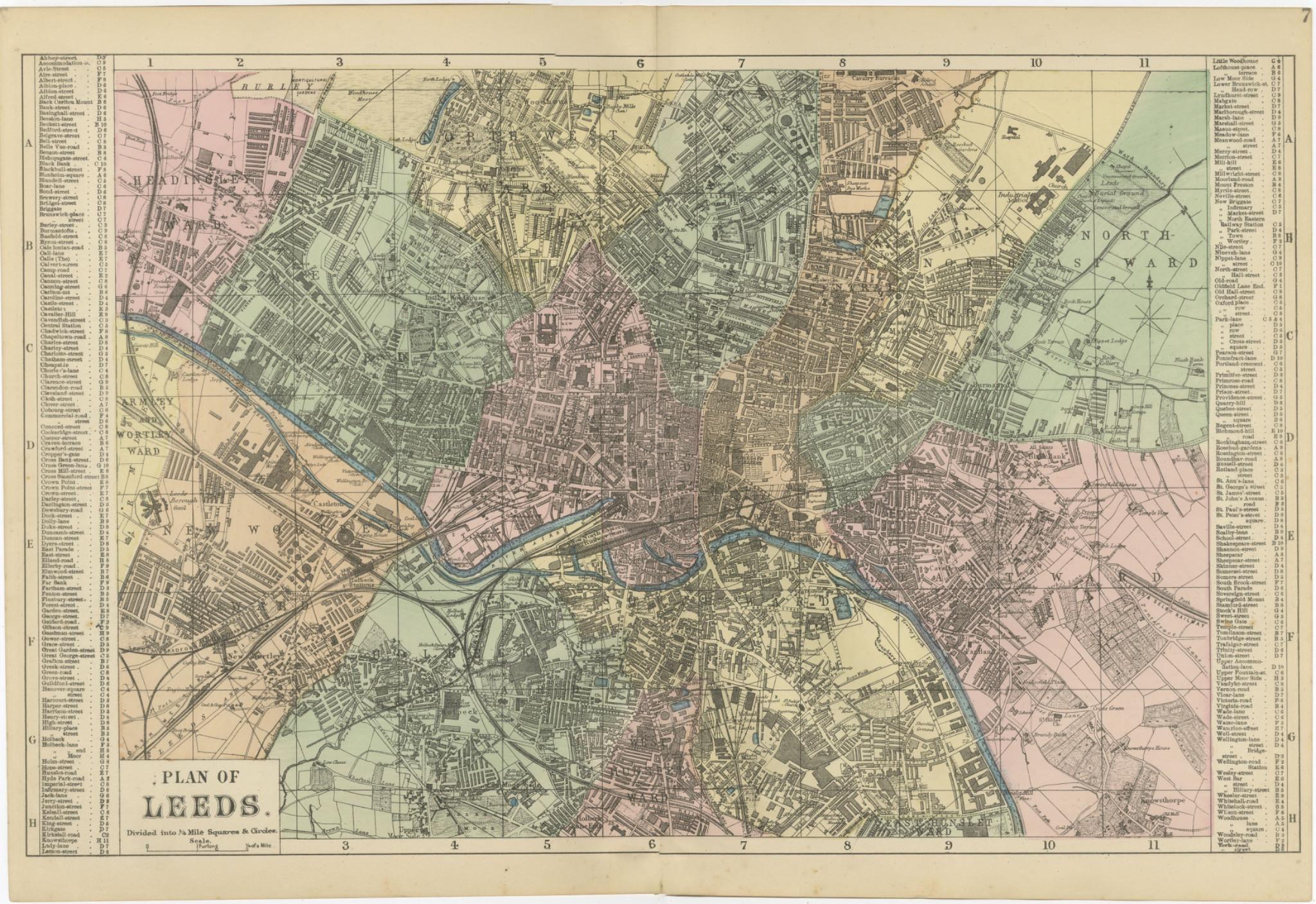
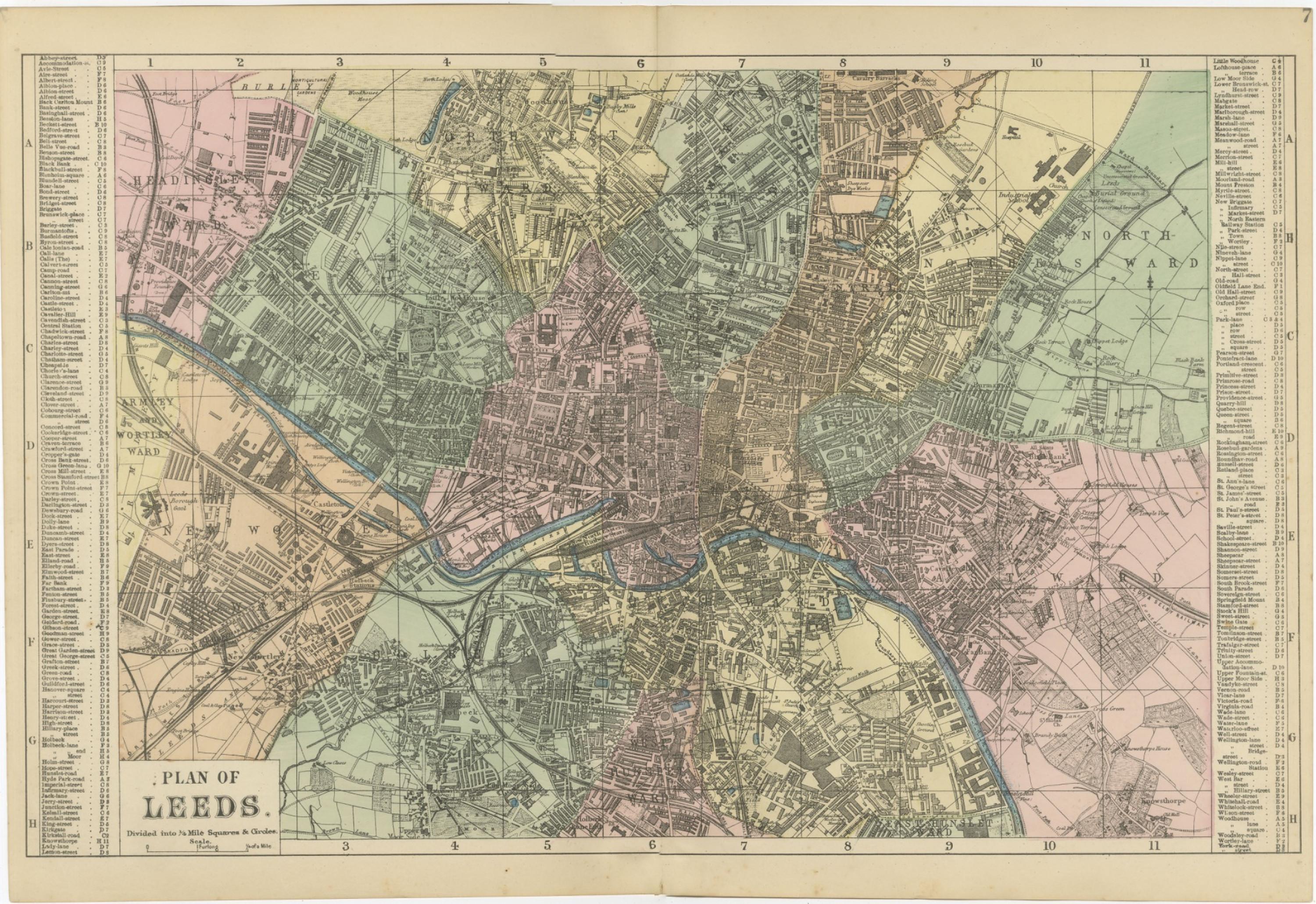
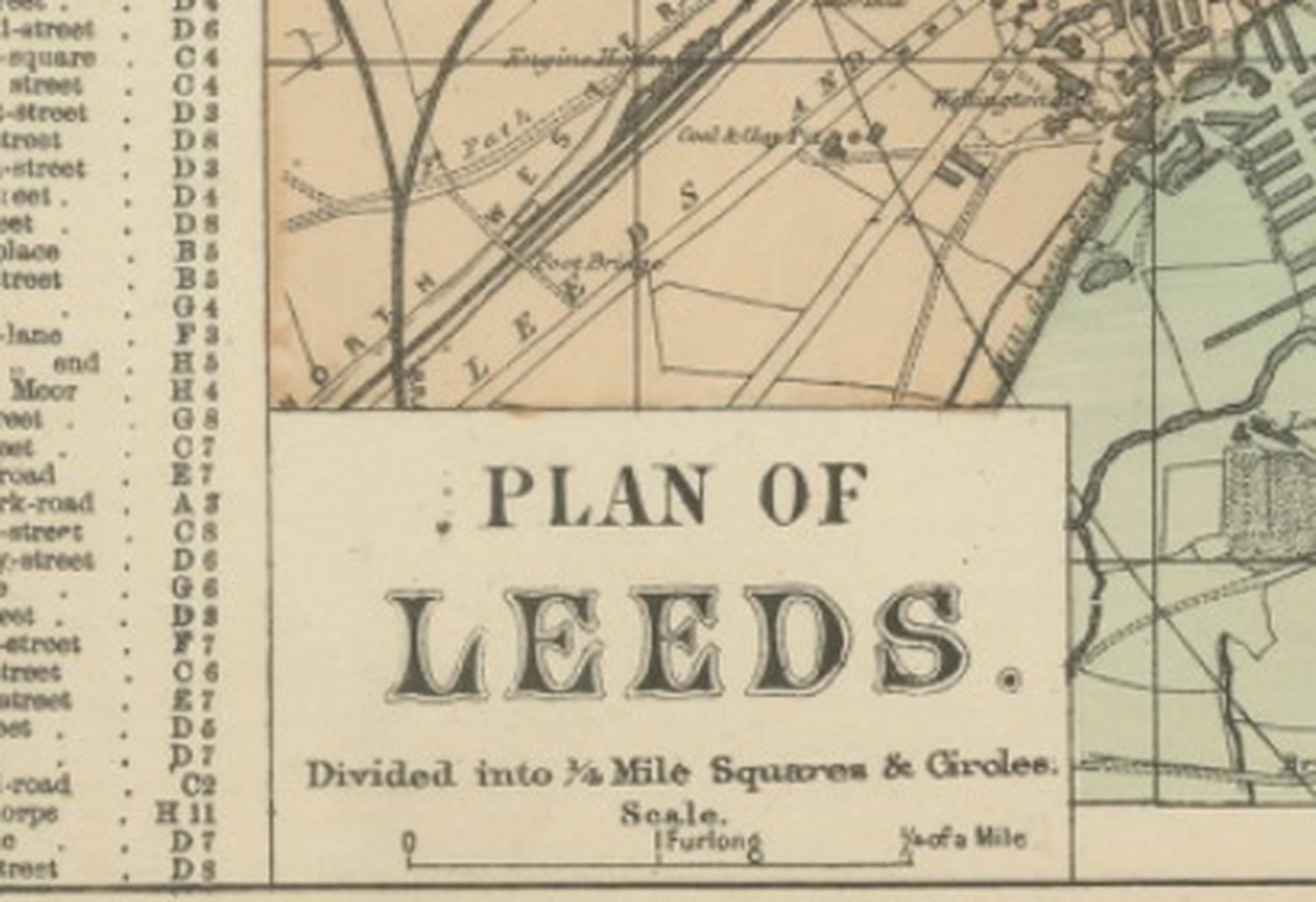
Plan of Leeds – Large Scale Victorian City Map, George W. Bacon, Ordnance Atlas, 1885
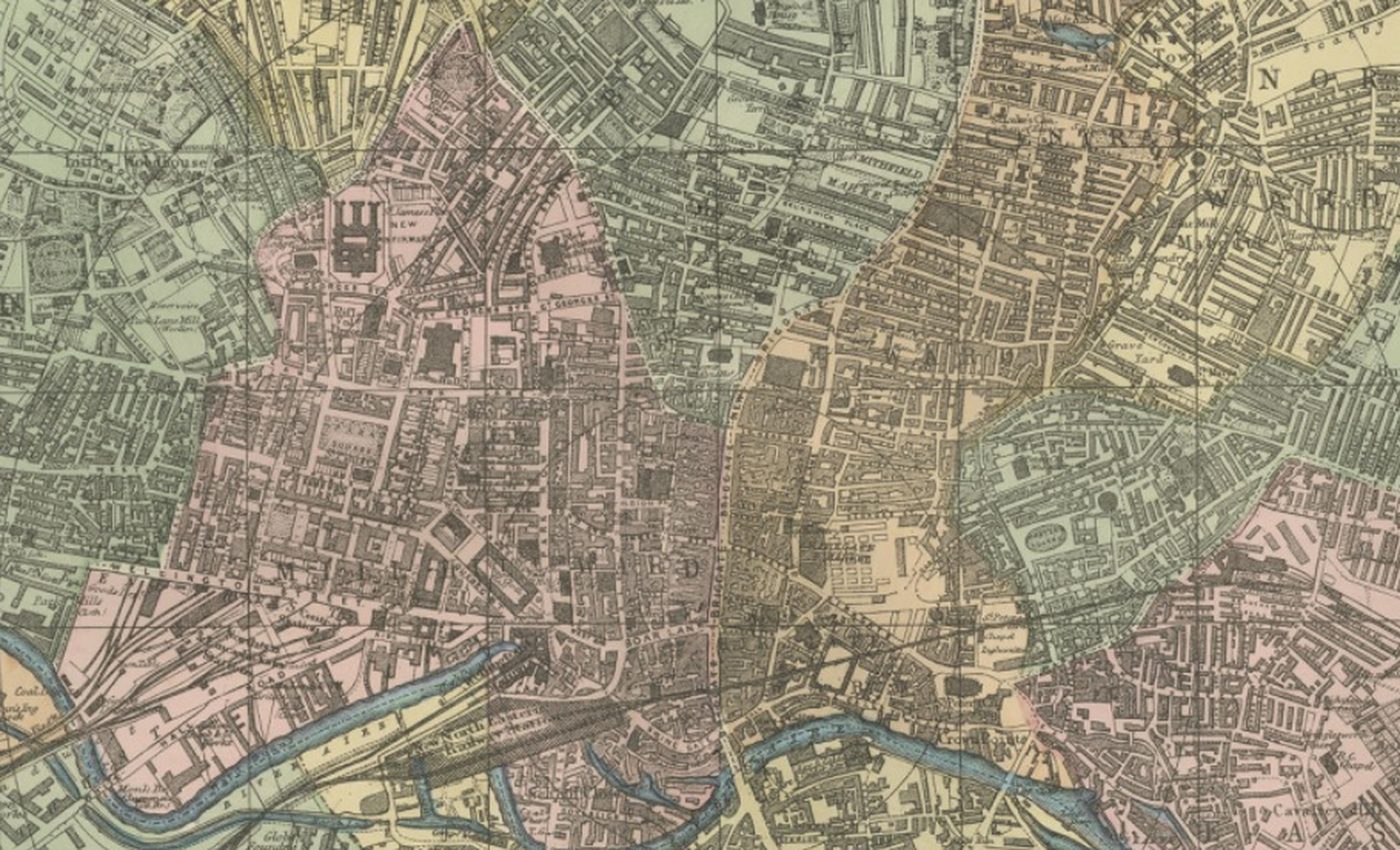
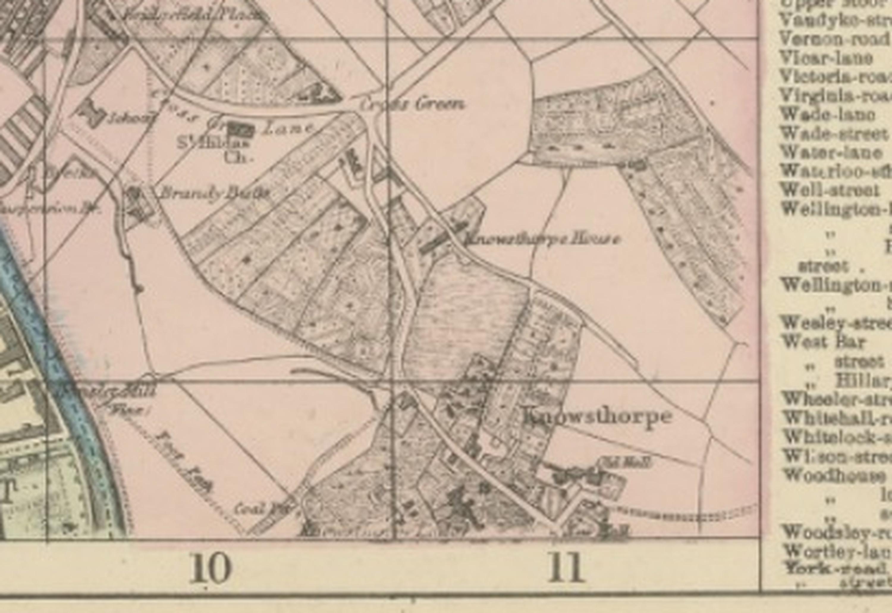
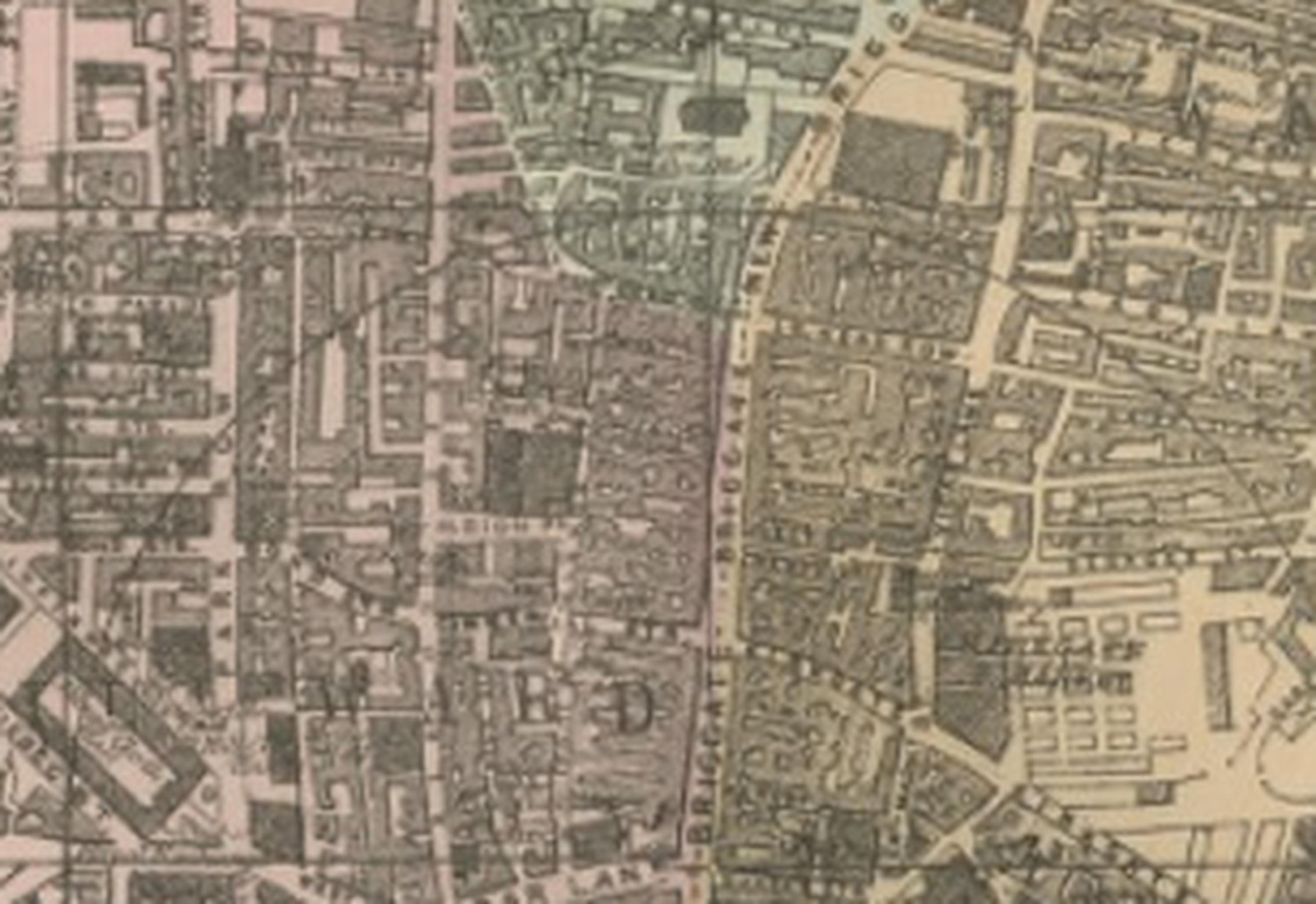
This finely engraved large-scale plan of Leeds was published in 1885 by the London cartographer George W. Bacon as part of the New Large Scale Ordnance Atlas of the British Isles with Plans of Towns. Derived from Ordnance and actual surveys, the map captures Leeds at the height of its nineteenth-century industrial expansion, presenting a detailed and visually compelling overview of one of northern England’s most important commercial and manufacturing centres during the Victorian era.
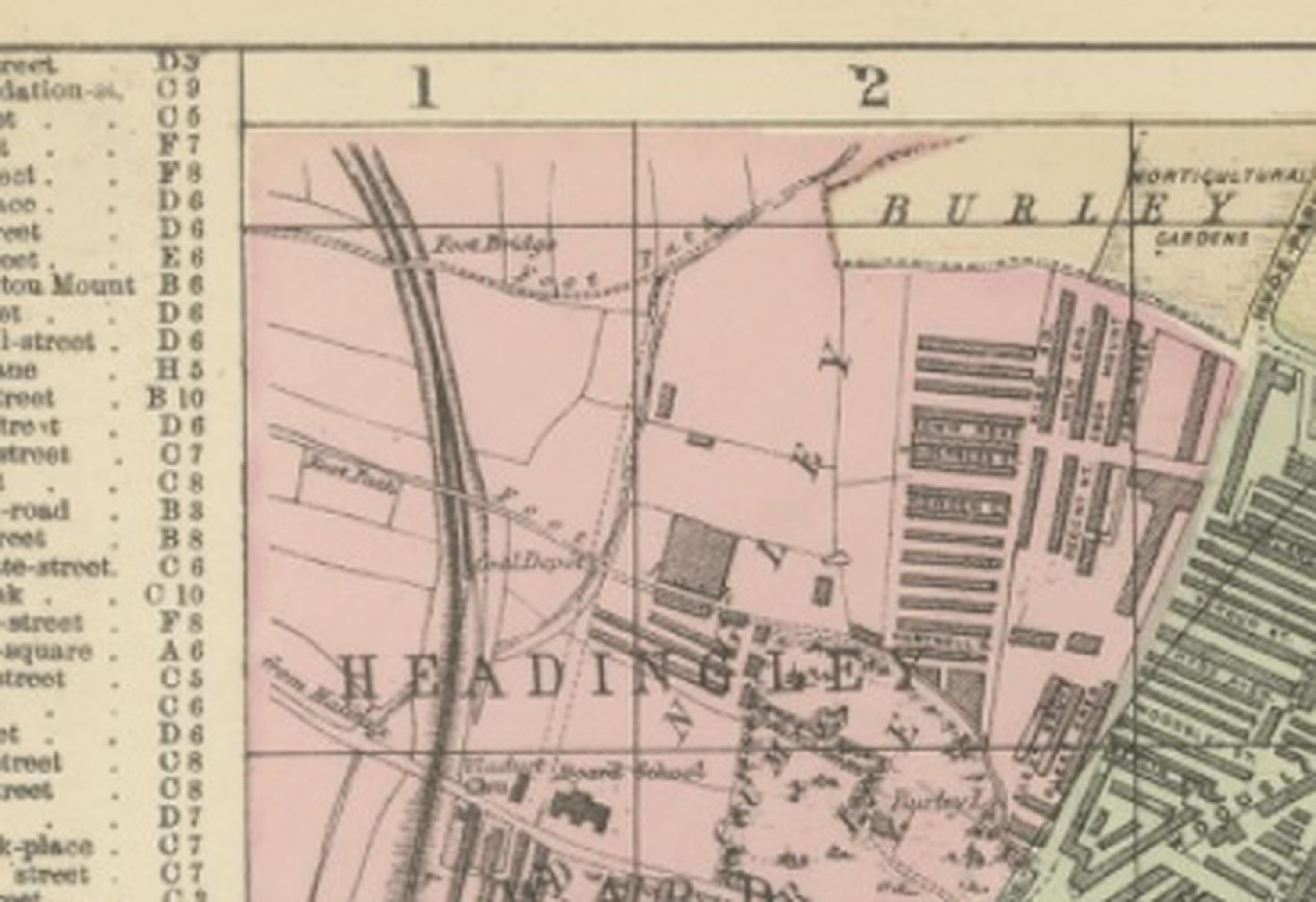
The composition reveals the dense urban structure of Leeds, with streets, industrial districts, railway lines, and civic spaces rendered with remarkable precision. The River Aire flows prominently through the city, defining both the geography and industrial development of the area. Railway infrastructure, warehouses, mills, and commercial zones illustrate Leeds’ role as a major textile and engineering hub, while residential districts radiate outward from the historic core, reflecting rapid urban growth driven by industry.
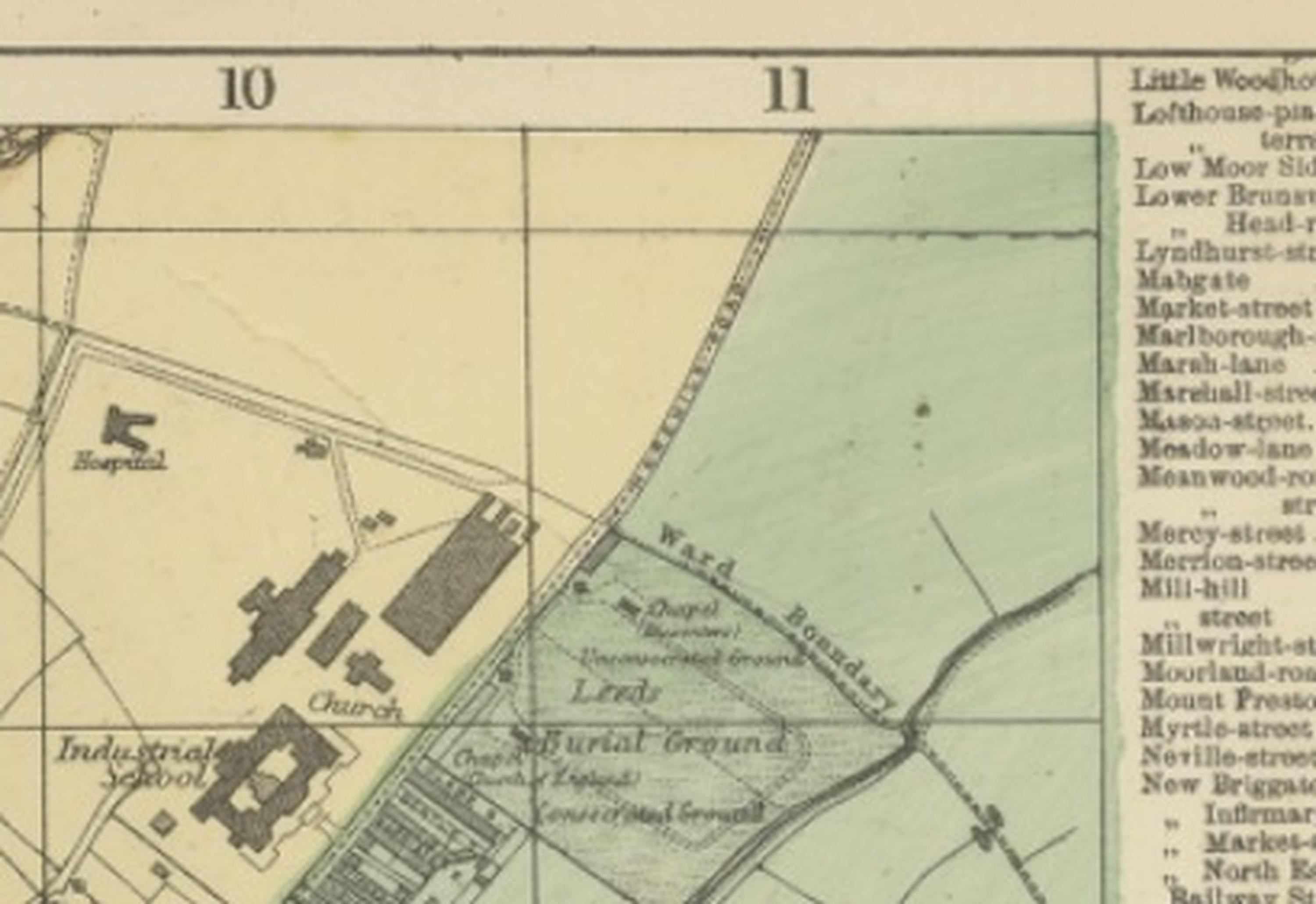
Soft original hand colouring divides the map into administrative wards, creating a visually engaging patchwork of districts while aiding legibility. The city centre appears densely layered with public buildings, commercial streets, and railway approaches, highlighting Leeds as a vibrant urban centre of trade and transportation. Surrounding suburbs and open areas demonstrate the transitional landscape between industrial density and expanding Victorian residential planning.
Bacon’s engraving style balances clarity and elegance, making the map both historically informative and highly decorative. Its panoramic horizontal format is especially suitable for display, offering strong visual rhythm through the interplay of streets, railways, and waterways. This map appeals equally to collectors of British industrial history, Yorkshire heritage, and decorative antique cartography.
Condition report: Very good condition for its age, with light age toning consistent with nineteenth-century atlas sheets. A central fold, as issued, may be visible. Minor handling marks or faint marginal wear may be present. The engraving remains crisp with attractive original colouring. Please review images for detailed condition.
Framing tips: The map is offered unframed, allowing flexibility to select a frame that best suits the intended interior. A dark walnut or black frame with an ivory mat enhances the antique tones, while a minimalist modern frame works well for contemporary interiors seeking a refined historical focal point.
Technique: Engraving with original hand colouring
Maker: George W. Bacon, London, 1885
SEO keyword block:
Leeds antique map, Plan of Leeds 1885, George W Bacon city plan, Ordnance Atlas Leeds, Victorian industrial city map Yorkshire, River Aire Leeds, Leeds railway network historical map, Armley, Holbeck, Hunslet, Headingley, Burley, Wortley, Chapel Allerton, North Ward Leeds, industrial mills Leeds history, textile industry Yorkshire map, Victorian urban planning England, nineteenth century British city atlas plate, Leeds wards coloured map, decorative antique city plan, historic Leeds street plan, large scale panoramic map Yorkshire England, railway junction Leeds Victorian era.