About this sheet
This original 1902 "Plan Vélo de la Touraine" is a fascinating and increasingly scarce example of early cycling cartography, published during the golden age of bicycle touring in France. Distributed by Edward Stanford as Sole Agent in London, the map reflects the extraordinary popularity of recreational cycling at the turn of the twentieth century and the growing demand for detailed regional maps designed specifically for cyclists.
Prepared "avec le concours des Membres du T.C.F., U.V.F. et des Clubs régionaux," the map was compiled with assistance from members of the Touring Club de France, the Union Vélocipédique Française, and local cycling organizations. It therefore represents not merely a geographical document, but a collaborative effort by some of the most influential institutions in early European tourism and sporting culture.
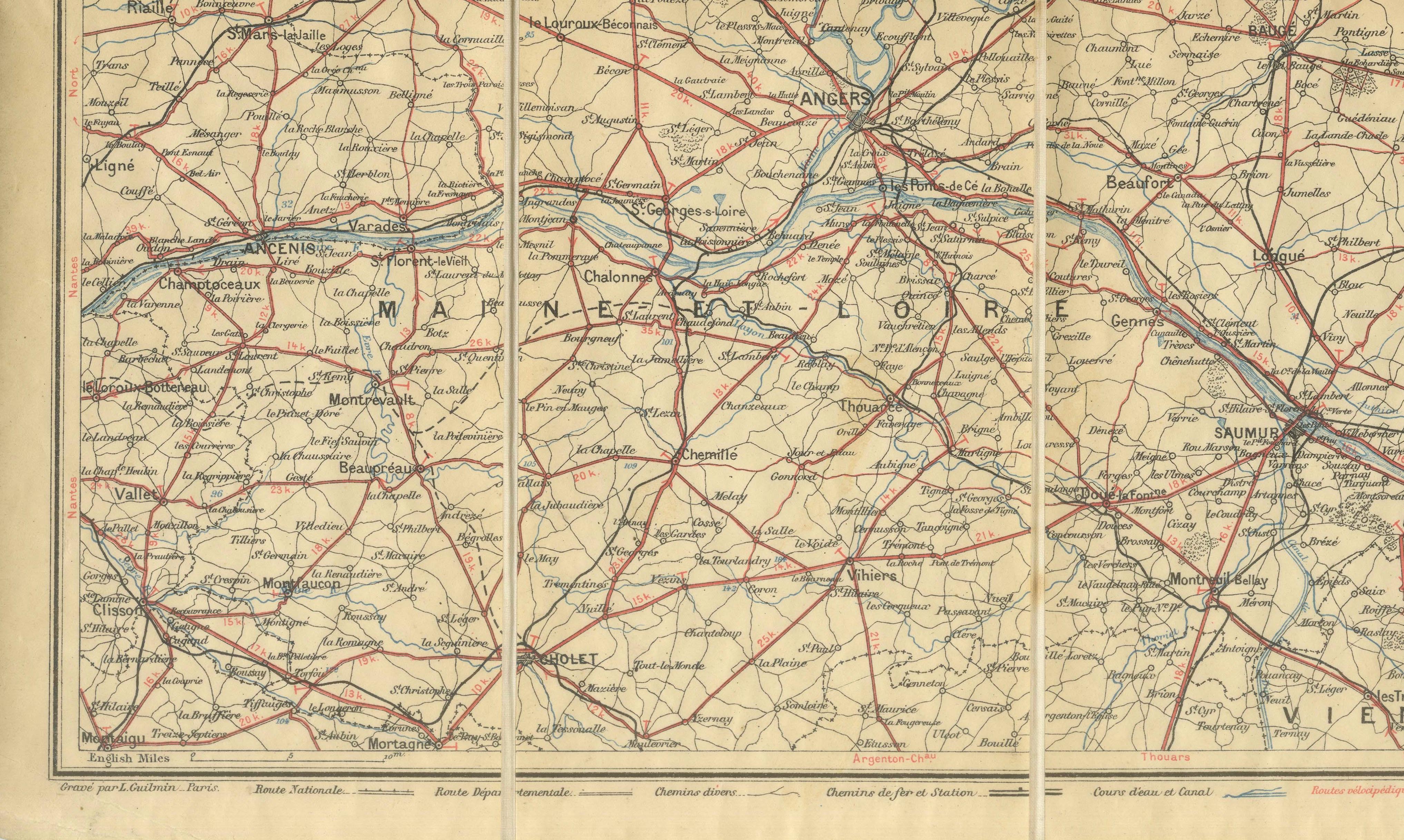
The sheet covers an immense area centered on Touraine and the Loire Valley, extending from Angers and Saumur in the west through Tours, Chinon, and Blois, reaching toward Orléans, Le Mans, Chartres, and even the approaches to Paris. The extensive network of roads and railways, highlighted in red, provided cyclists with practical information for long-distance touring during the Belle Époque. Before the advent of motor vehicles, such maps guided thousands of enthusiasts through one of France's most celebrated cultural landscapes.
Touraine, often described as the "Garden of France," was already renowned for its magnificent châteaux, vineyards, historic towns, and gentle river valleys. The Loire, Vienne, and Maine rivers connect a landscape rich in medieval heritage and Renaissance architecture. This map captures the region at a pivotal moment, when traditional provincial life coexisted with the excitement of modern mobility and leisure travel.
Edward Stanford's London establishment was internationally respected for supplying the finest maps and travel literature available. His role as sole British agent allowed English tourists and cycling enthusiasts to obtain authoritative French mapping products at a time when cross-Channel travel was becoming increasingly accessible. Today, the combination of cycling history, regional geography, and decorative appeal makes this map particularly desirable.
Originally issued as a folding sheet for practical use on the road, the map survives as an authentic artifact of Belle Époque tourism. It offers collectors a remarkable visual record of France before automobiles transformed transportation and before the upheavals of the First World War altered the character of the countryside forever.
The framed images used in our presentations are intended solely as display inspiration. This map is offered and sold unframed in its original antique condition.
Condition Report:
Good original antique condition, consistent with age and use. Original fold lines remain visible as issued. Light age toning, minor handling wear, and occasional creasing associated with use as a portable folding map. Small marginal imperfections may be present. The printed image remains clear, attractive, and highly legible throughout, with strong contrast and excellent detail.
Framing Suggestions:
This map is sold unframed. We recommend conservation mounting with all original margins and fold lines preserved as evidence of its historical function. A dark walnut or ebonized frame paired with an ivory museum mat creates an elegant presentation that complements the warm paper tones. UV-protective museum glass is strongly advised. The map displays particularly well in libraries, country houses, cycling clubs, wine estates, and interiors inspired by French travel and Belle Époque culture.