About this sheet
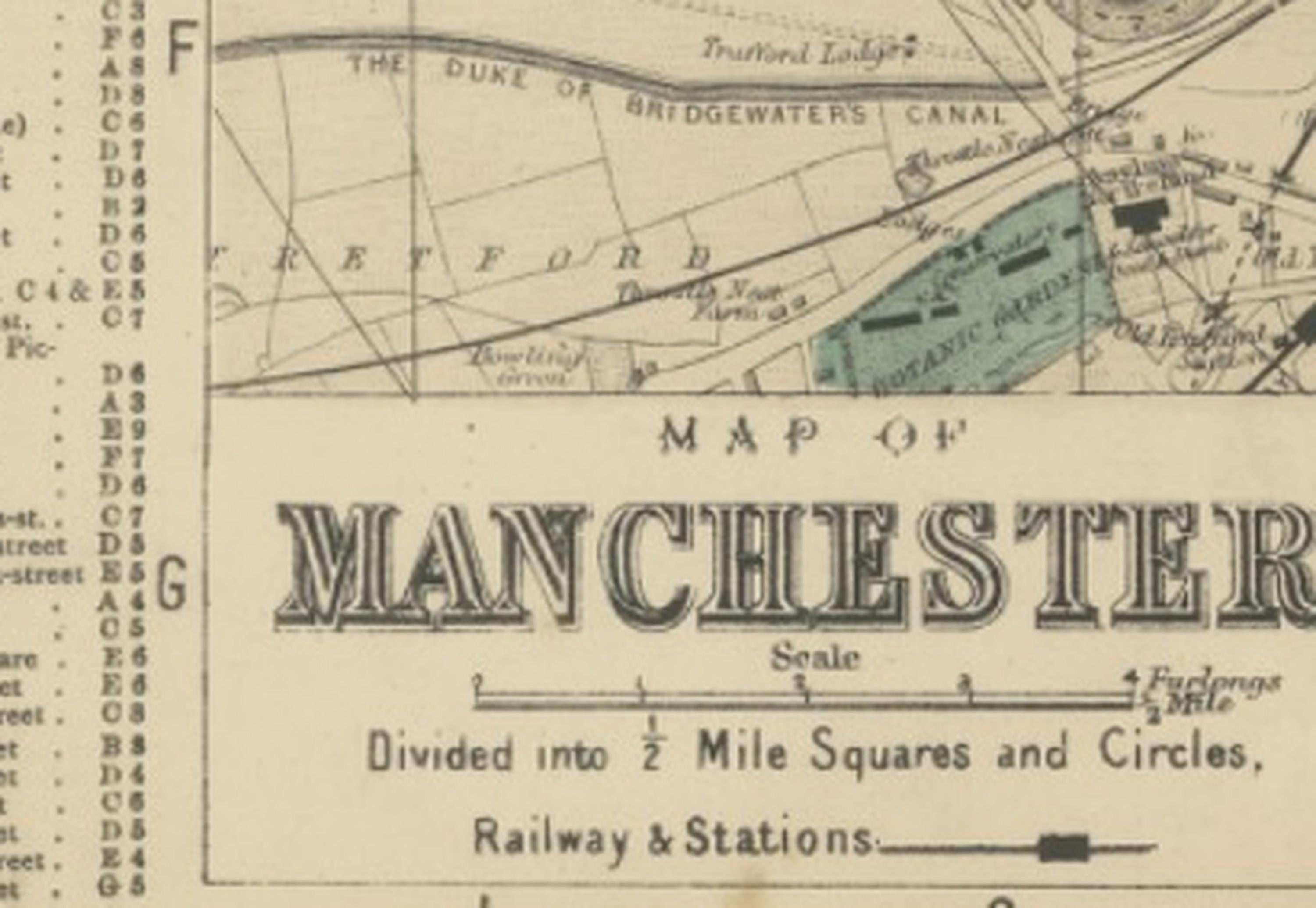
Map of Manchester – Large Scale Victorian City Plan, George W. Bacon, 1885
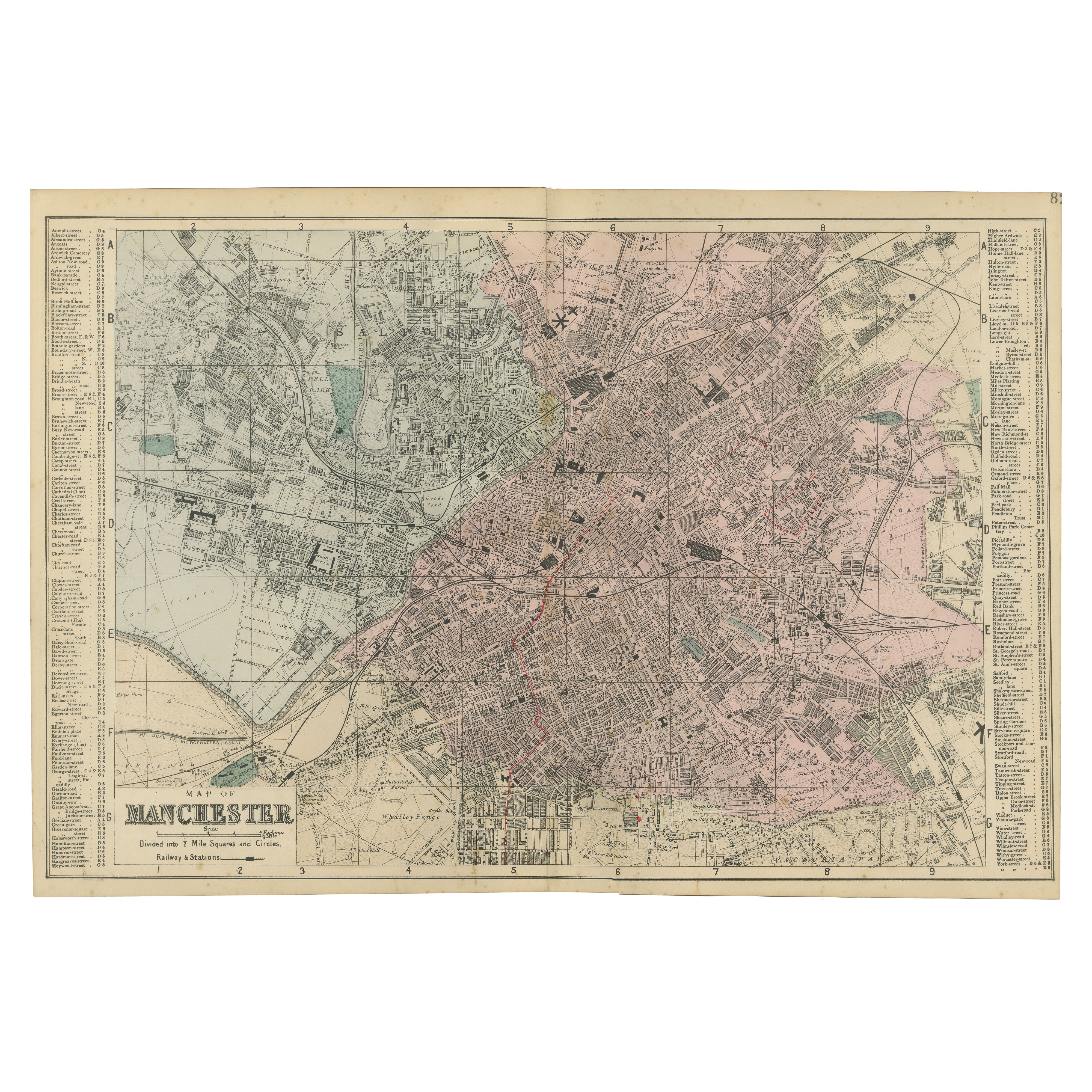
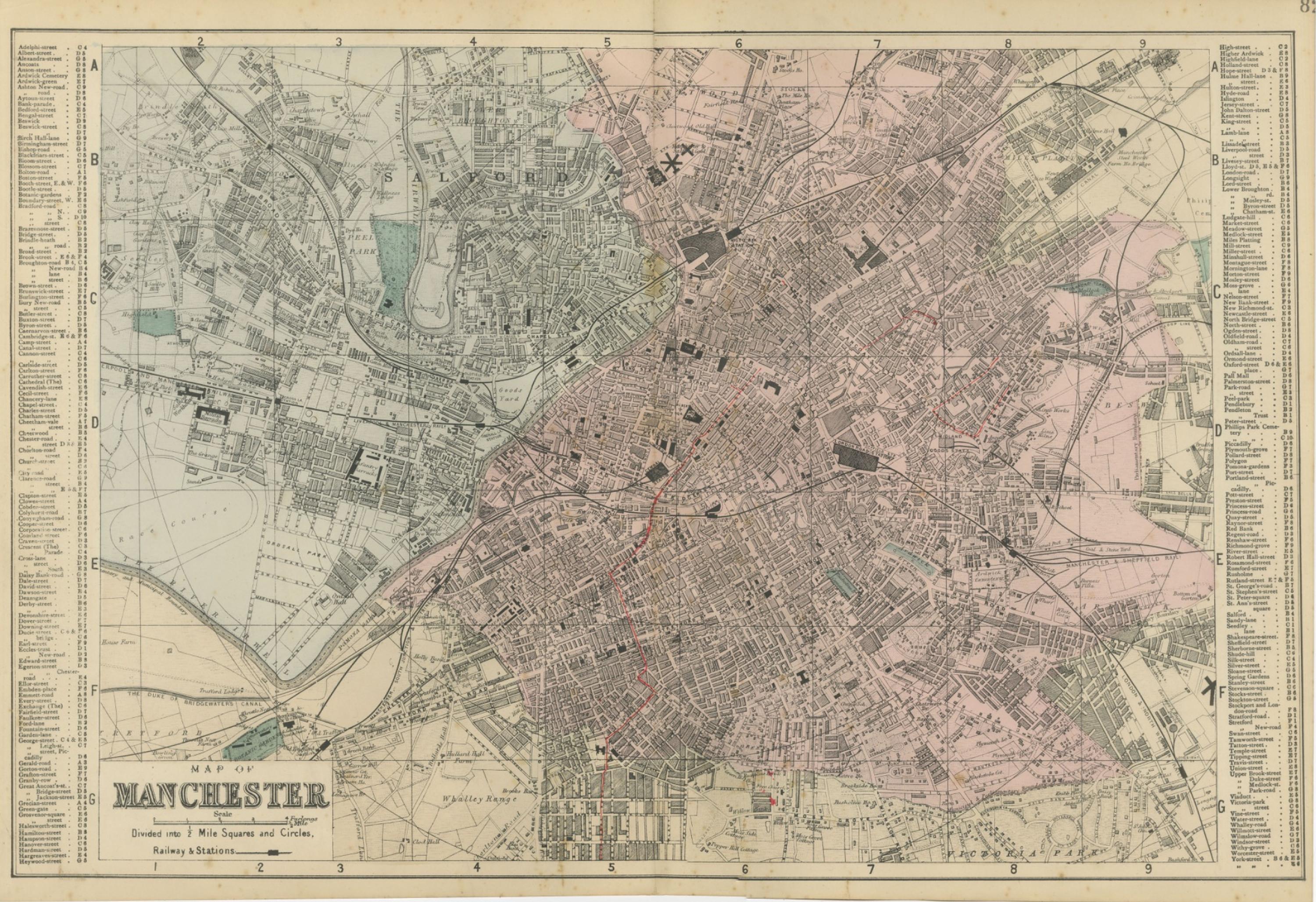
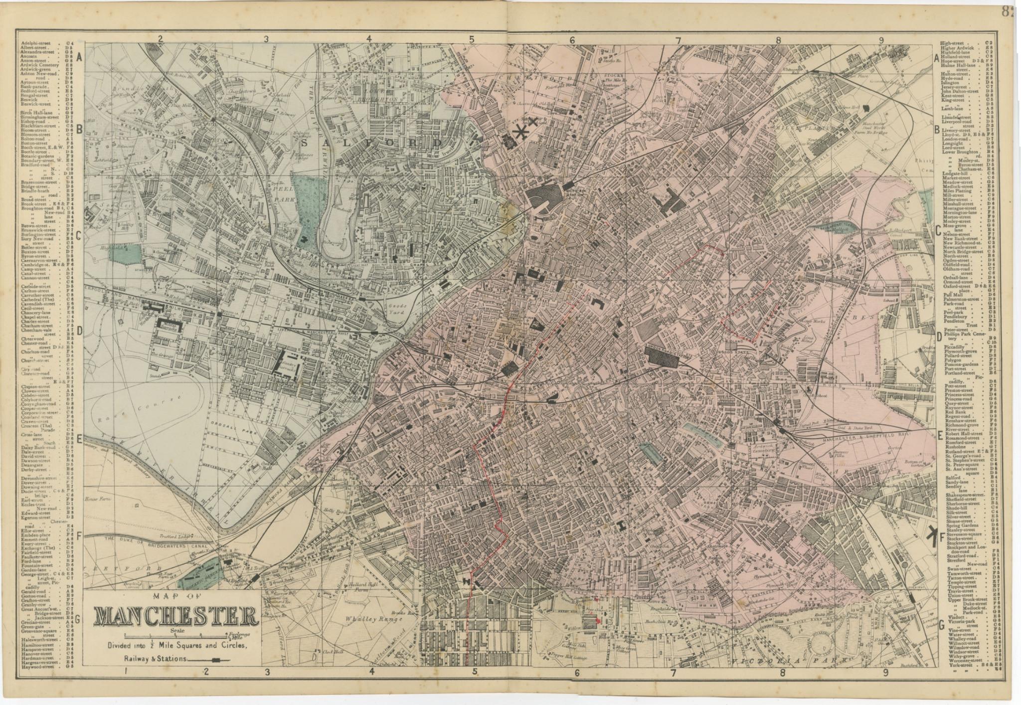
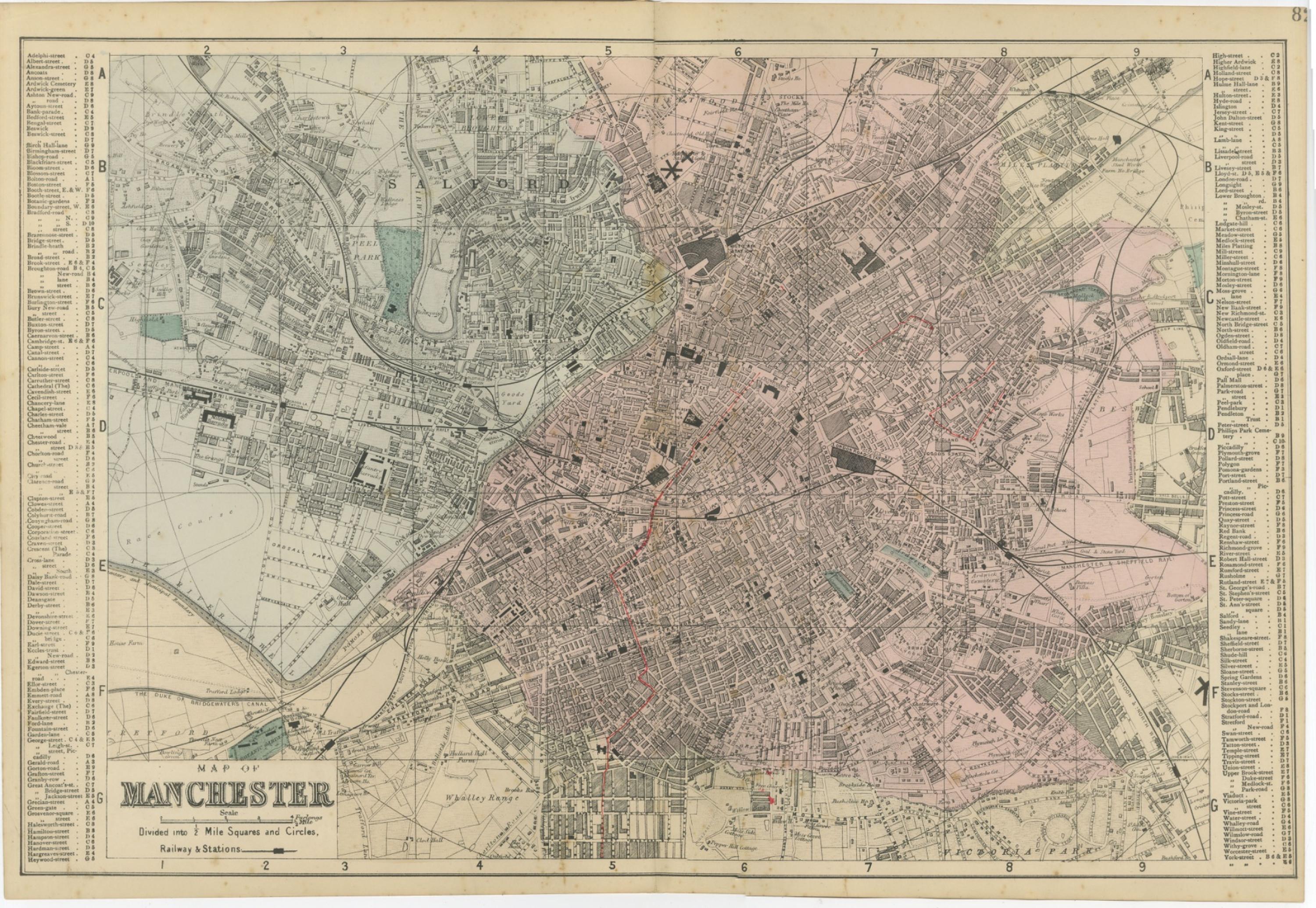
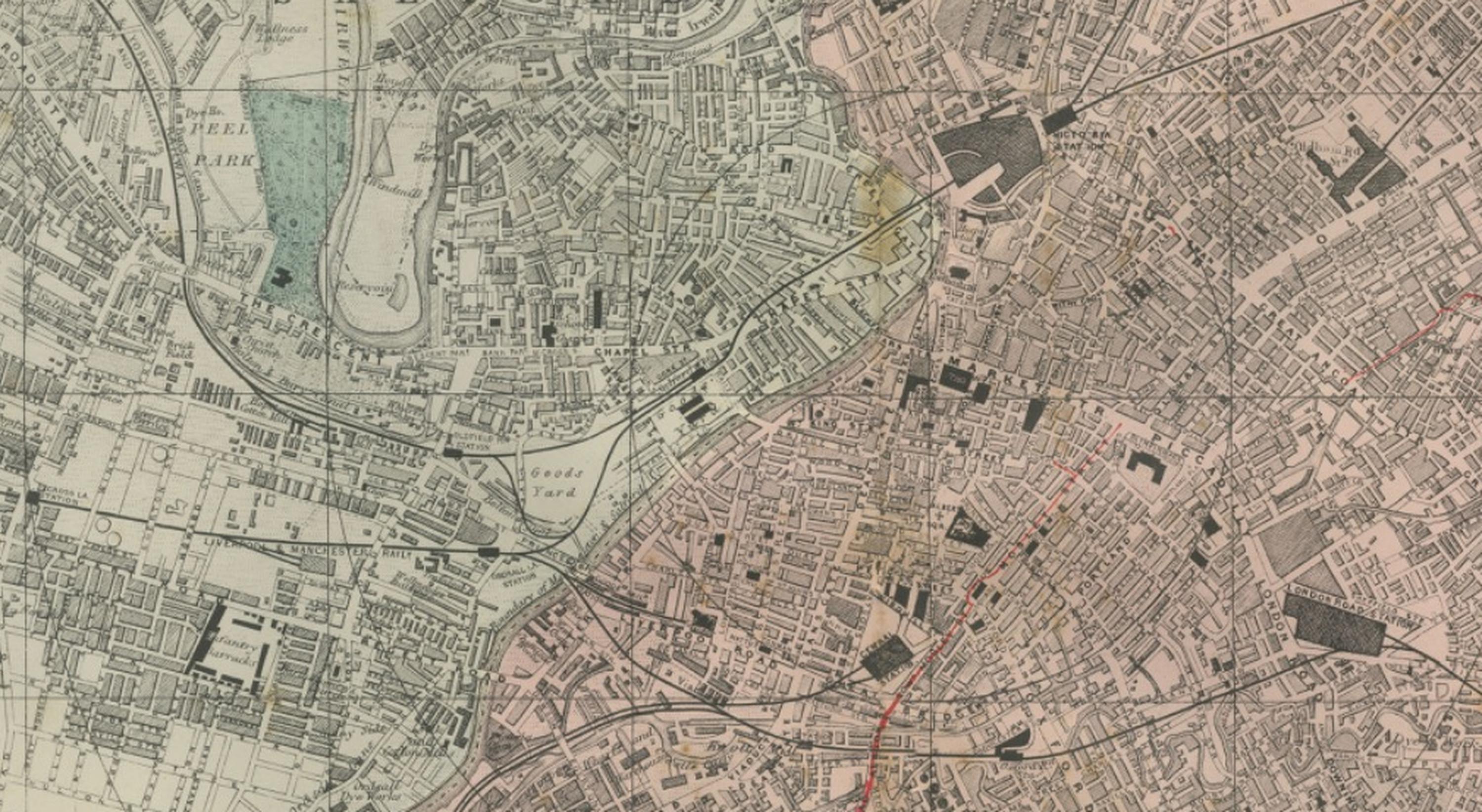
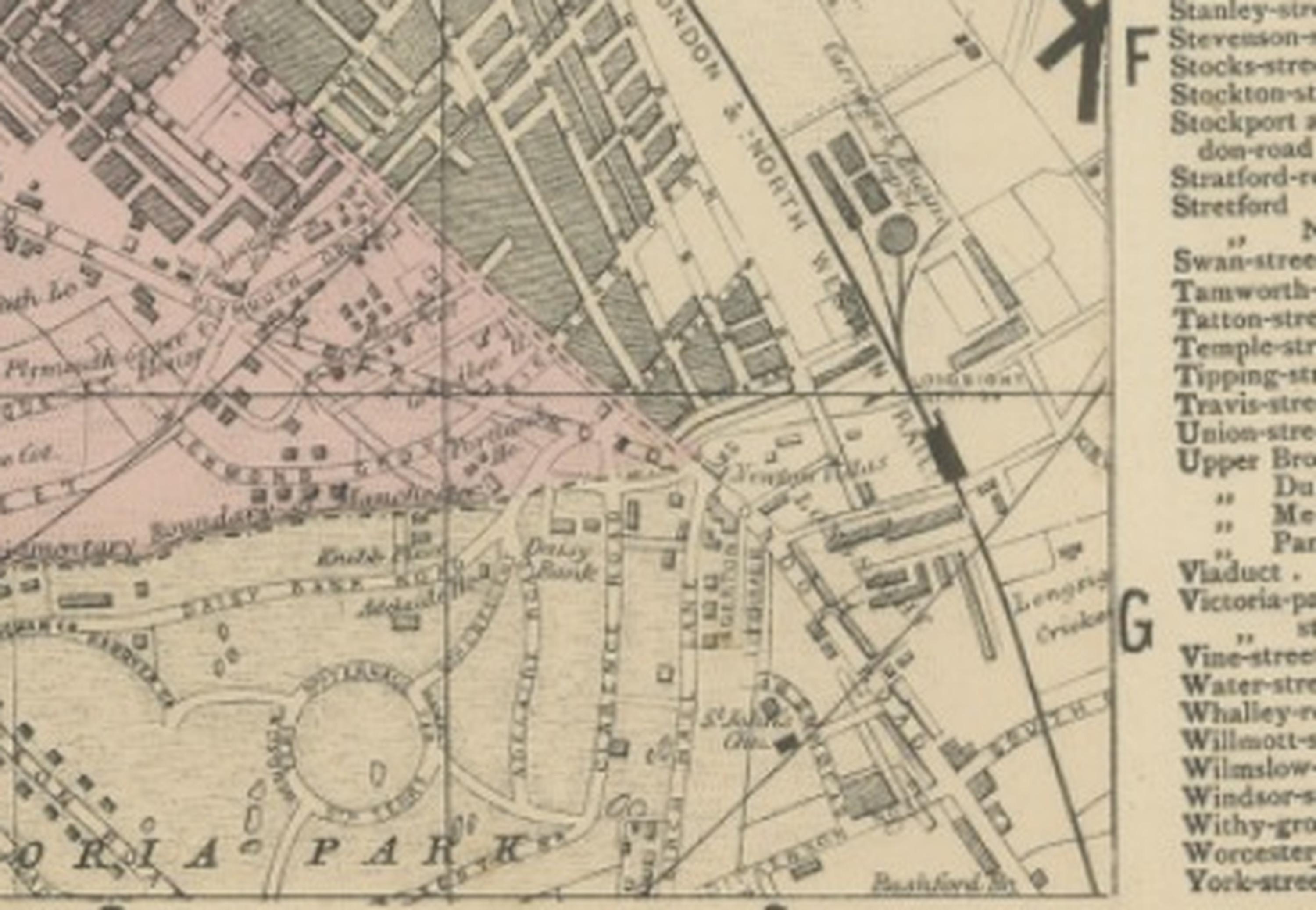
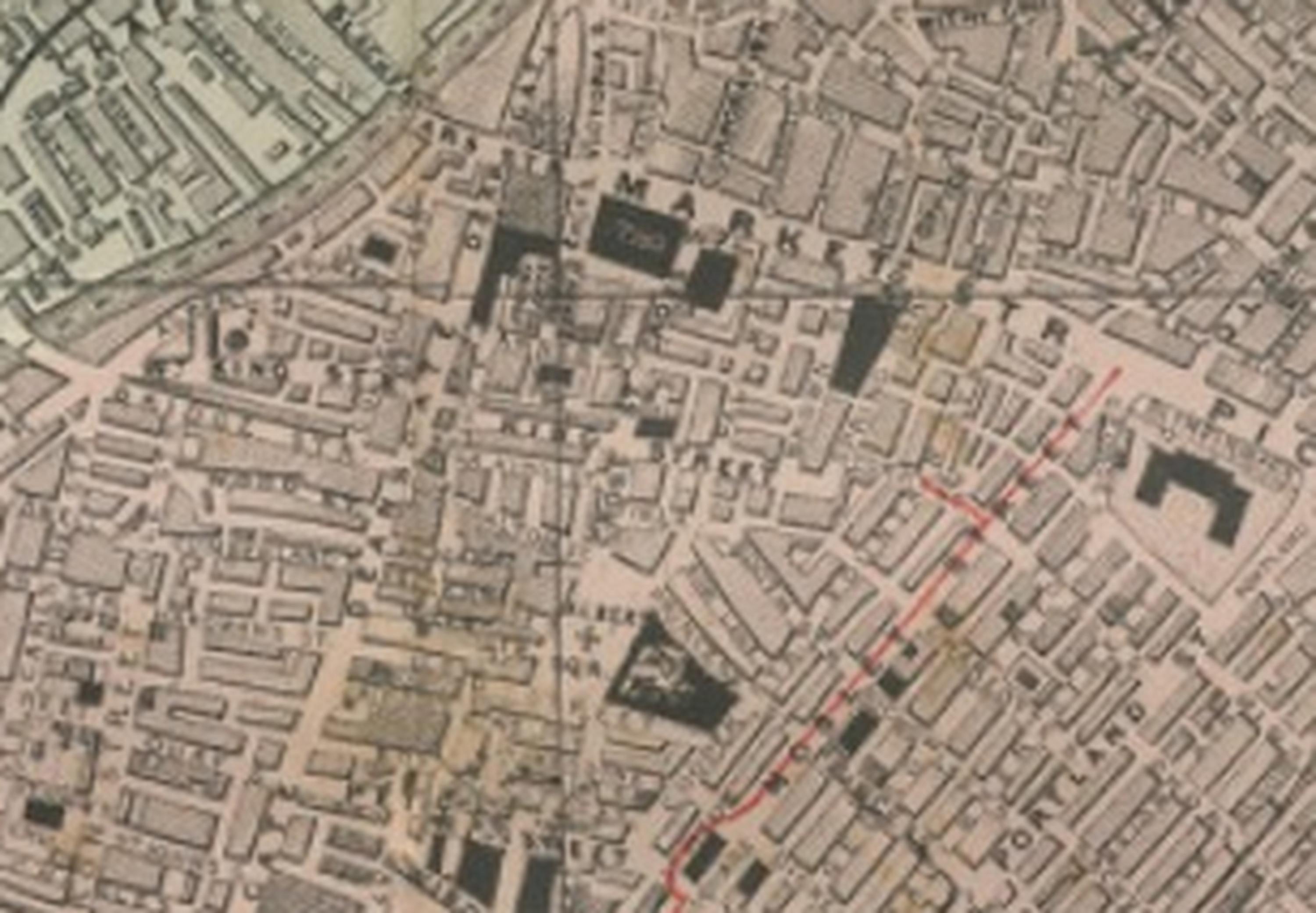
This finely engraved large-scale map of Manchester was published in 1885 by the London cartographer George W. Bacon as part of the New Large Scale Ordnance Atlas of the British Isles with Plans of Towns. Based on detailed Ordnance and actual surveys, the map captures Manchester during the height of its industrial prominence, presenting a comprehensive overview of one of Britain’s most important Victorian manufacturing and commercial centres.
The plan reveals the dense urban fabric that defined Manchester’s rapid nineteenth-century expansion, with an intricate network of streets, railway lines, canals, industrial complexes, and residential districts clearly delineated. Bacon’s careful engraving provides exceptional clarity, allowing individual streets, railway infrastructure, and public buildings to be easily identified. Industrial areas and railway yards reflect the city’s pivotal role in the Industrial Revolution, while surrounding residential neighbourhoods illustrate the expansion of urban life around manufacturing hubs.
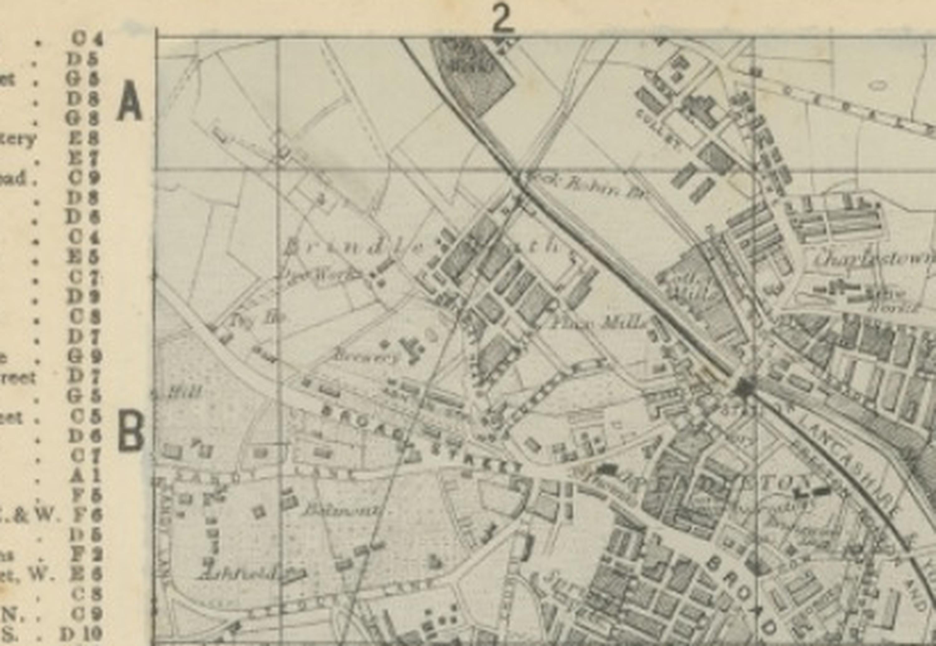
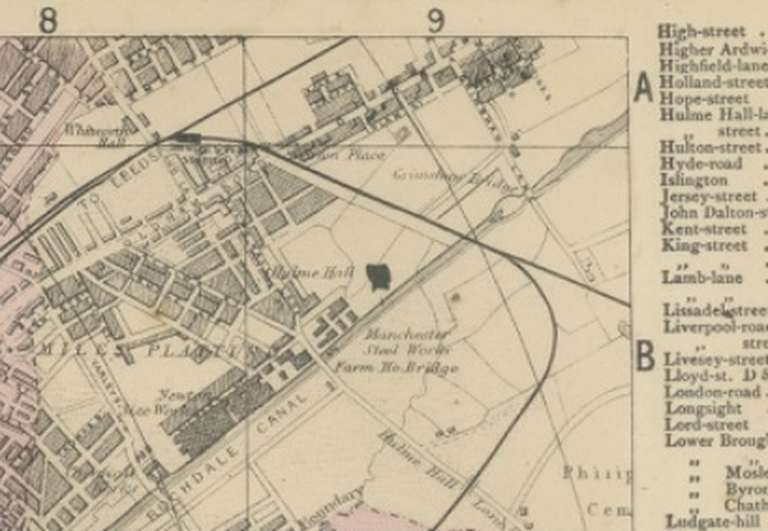
The map includes an extensive index of streets along the borders, enhancing both its historical utility and visual appeal. Subtle period colouring highlights administrative divisions and districts, providing visual structure without overwhelming the fine detail of the engraving. The River Irwell, canal systems, and railway networks emphasize Manchester’s strategic importance as a transport and trade centre. The layout reflects Victorian urban planning concerns, combining industrial efficiency with expanding civic infrastructure.
As both a historical document and decorative artwork, this map is highly appealing to collectors of British industrial history, historical cartography, and urban planning. Its wide panoramic format makes it especially suitable for display in contemporary interiors, offices, libraries, or loft spaces, where the detailed pattern of streets and railways creates a strong graphic presence.
Condition report: Very good condition for its age, with light overall age toning and minor handling marks typical of nineteenth-century atlas sheets. A central fold, as issued, may be visible. The engraving remains crisp and the colouring attractive. Please consult images for precise condition details.
Framing tips: The map is offered unframed, allowing flexibility to select a frame that best suits the intended interior. A wide ivory mat with a dark walnut or black frame enhances the horizontal panoramic composition. For industrial or contemporary interiors, a minimalist frame emphasizes the map’s graphic structure and historical character.
Technique: Engraving with original hand colouring
Maker: George W. Bacon, London, 1885
SEO keyword block:
Manchester antique map, Map of Manchester 1885, George W Bacon city plan, Ordnance Atlas Manchester, Victorian industrial city map England, Lancashire historical map, River Irwell, Duke of Bridgewater’s Canal, railway stations Manchester, Manchester Central area, Salford, Ardwick, Hulme, Chorlton-on-Medlock, Beswick, Ancoats, industrial revolution city plan, textile manufacturing Manchester history, Victorian railway network map, British urban planning map, nineteenth century city atlas plate, decorative antique British city map, historic Manchester street plan, large scale panoramic town map England.