About this sheet
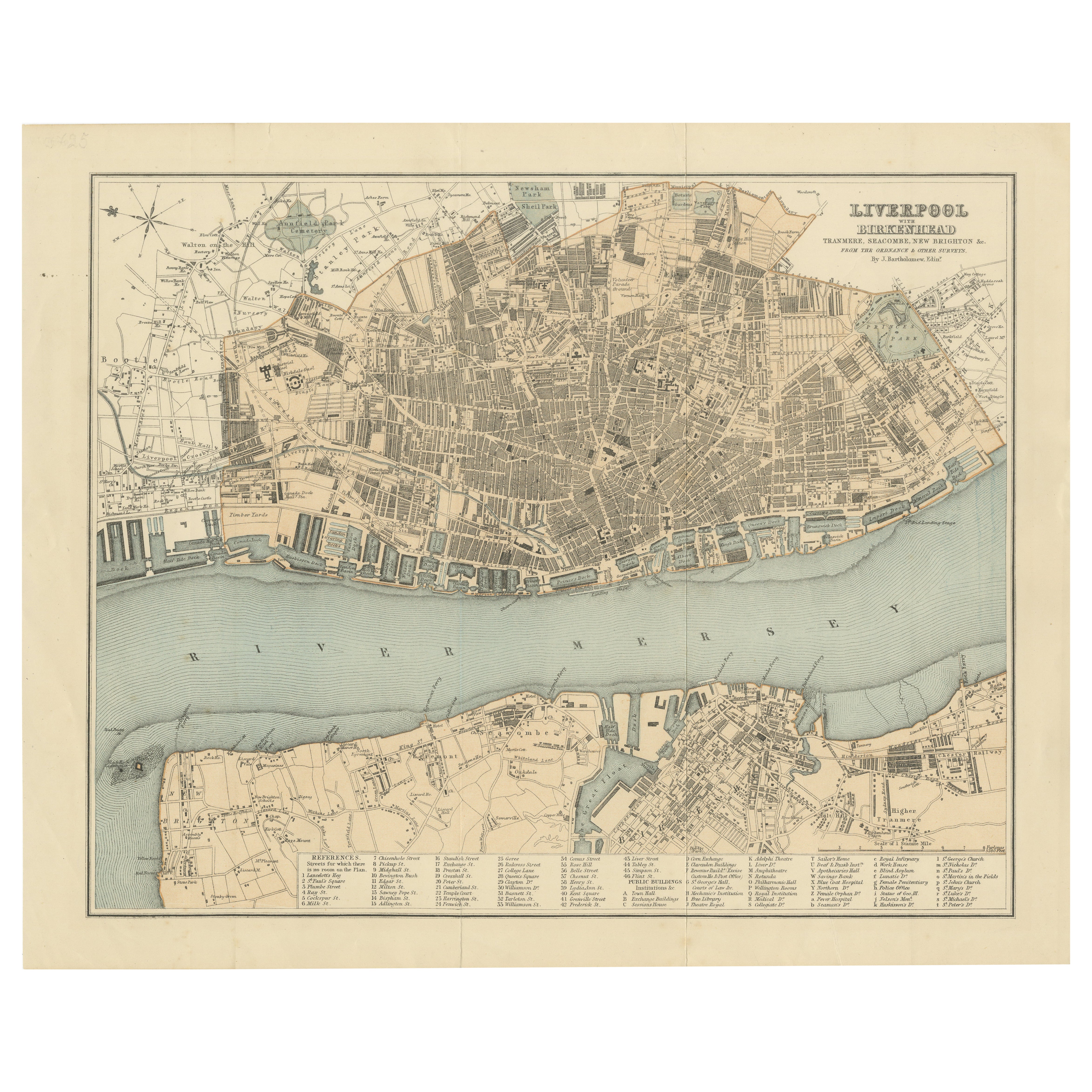
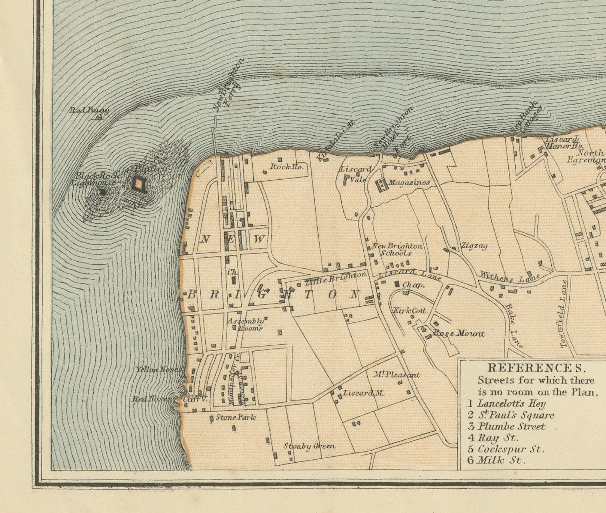
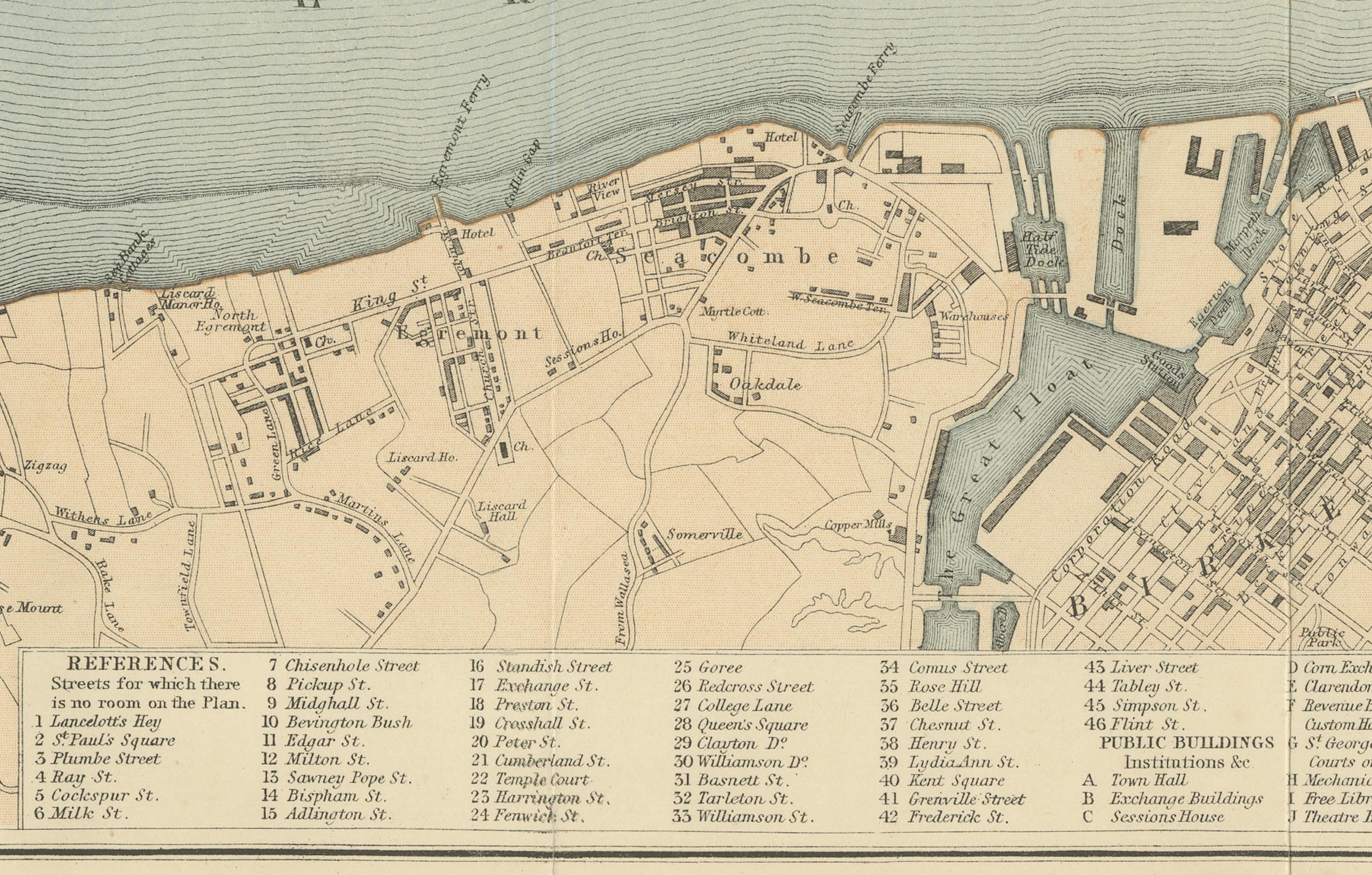
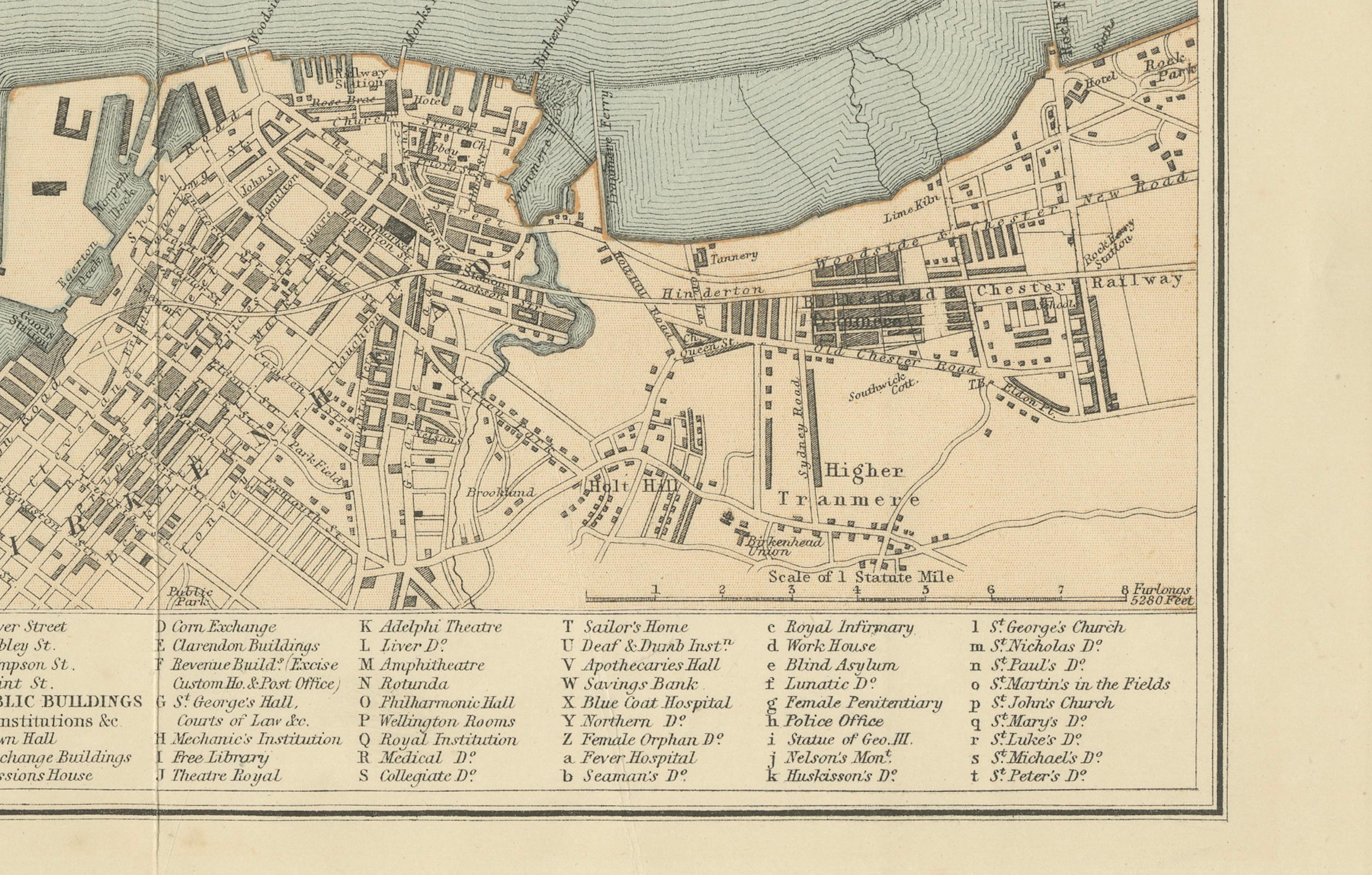
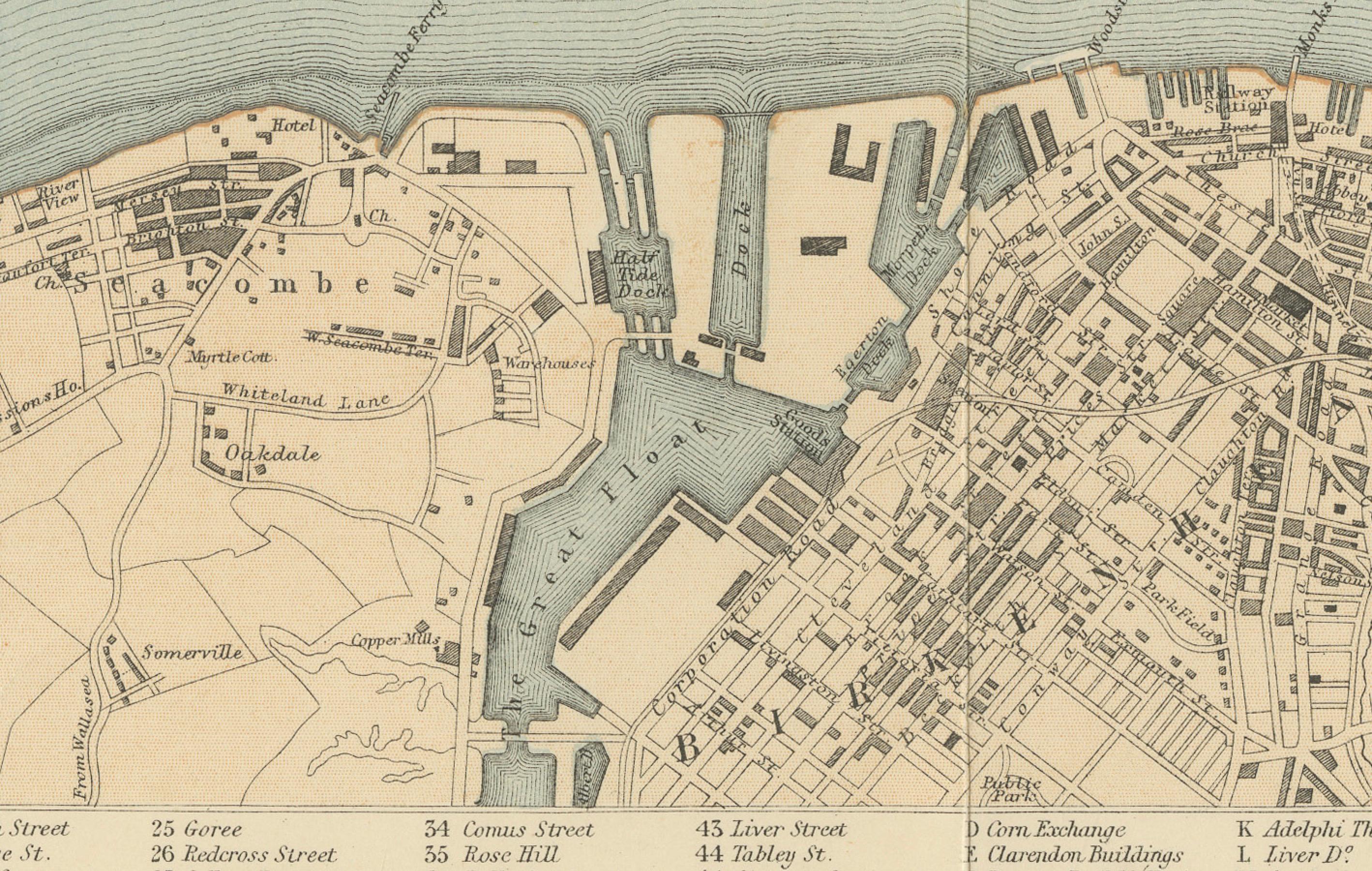
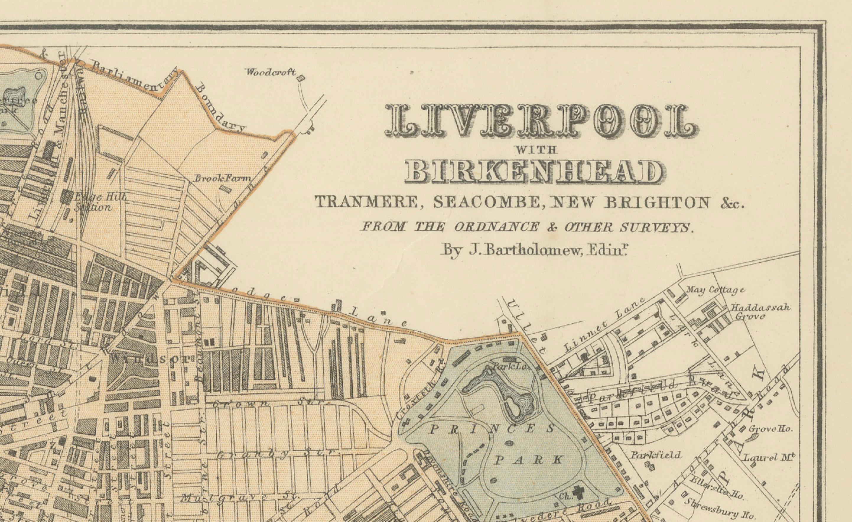
Map of Liverpool and Birkenhead by J. Bartholomew, circa 1880, with key buildings
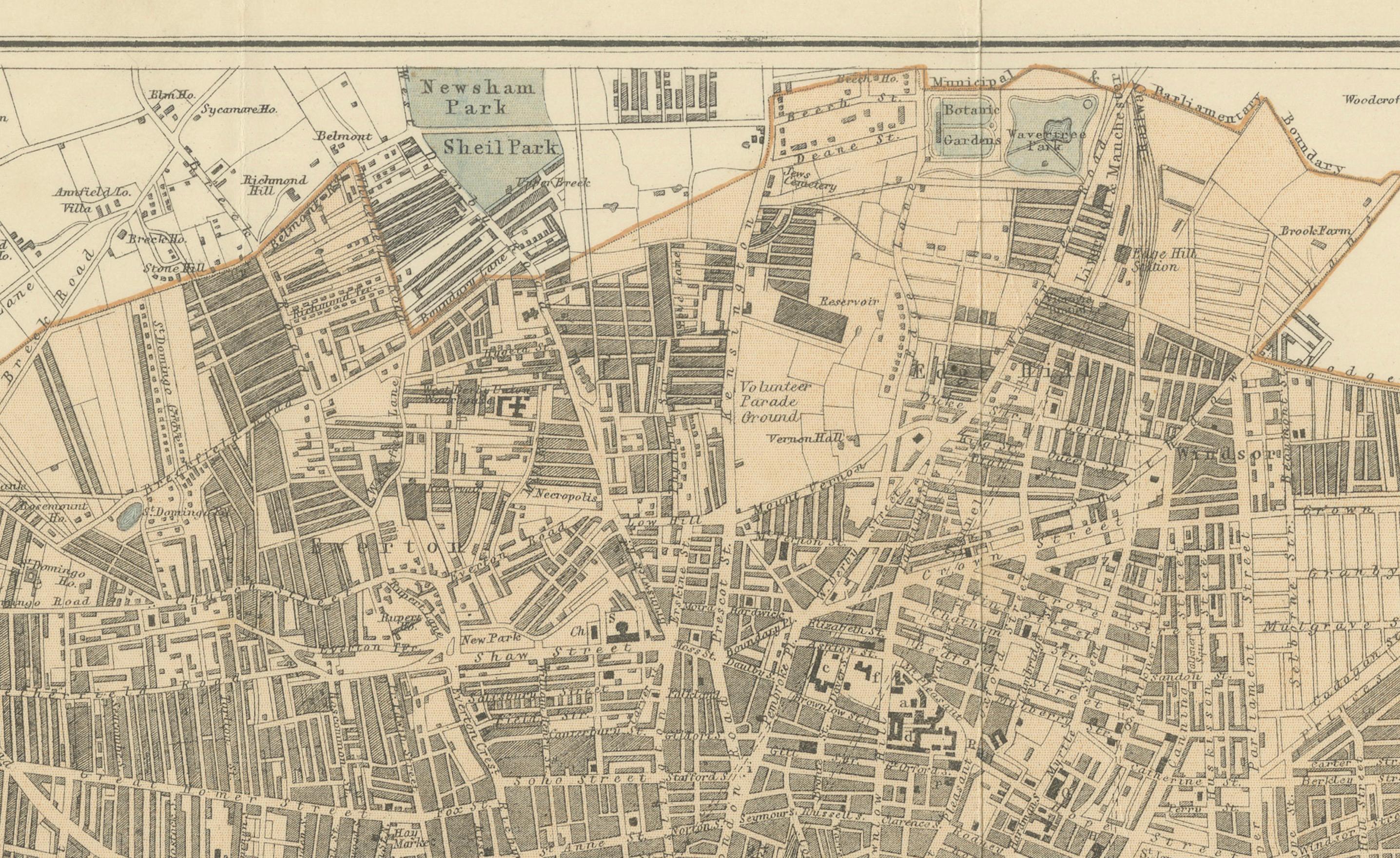
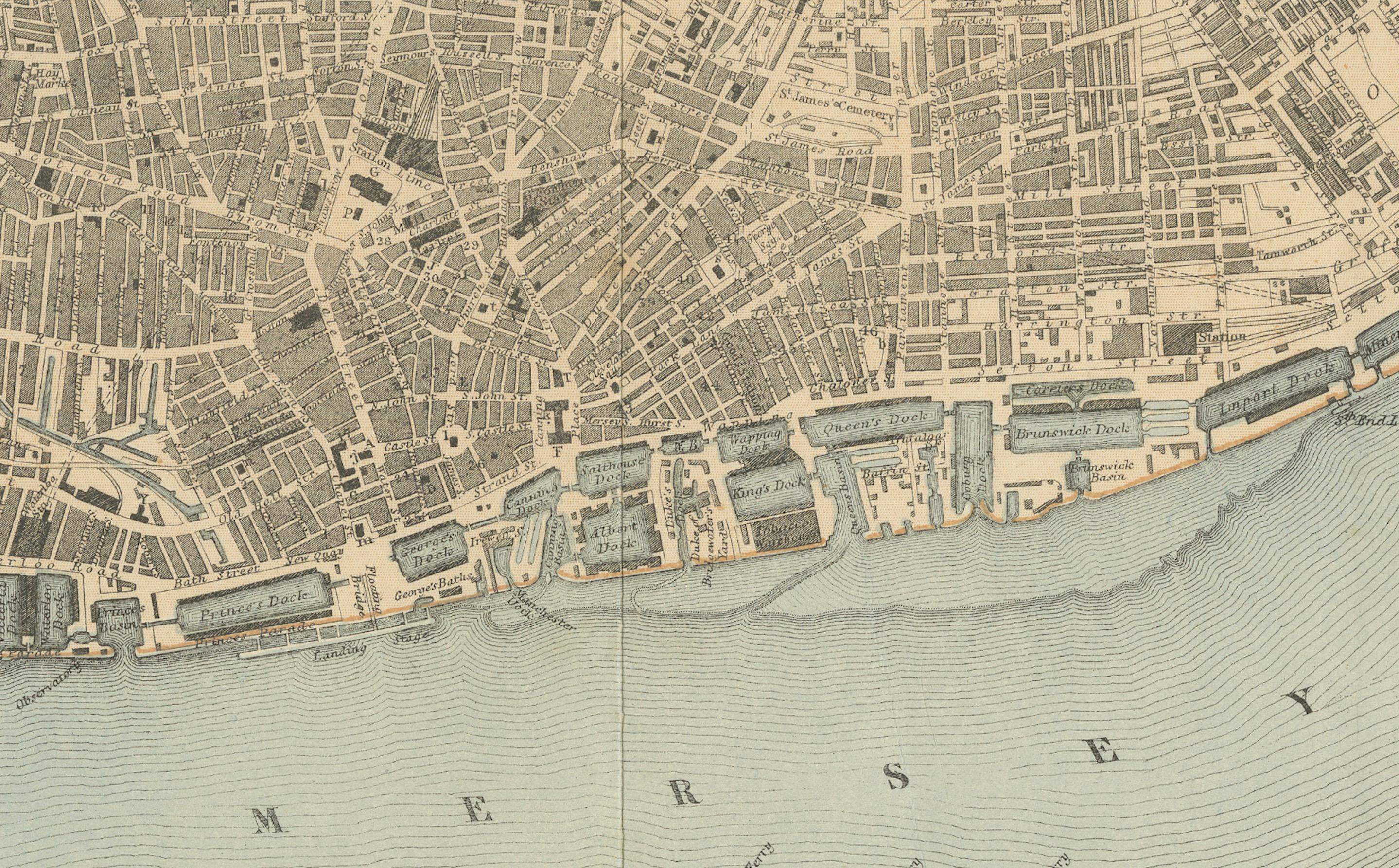
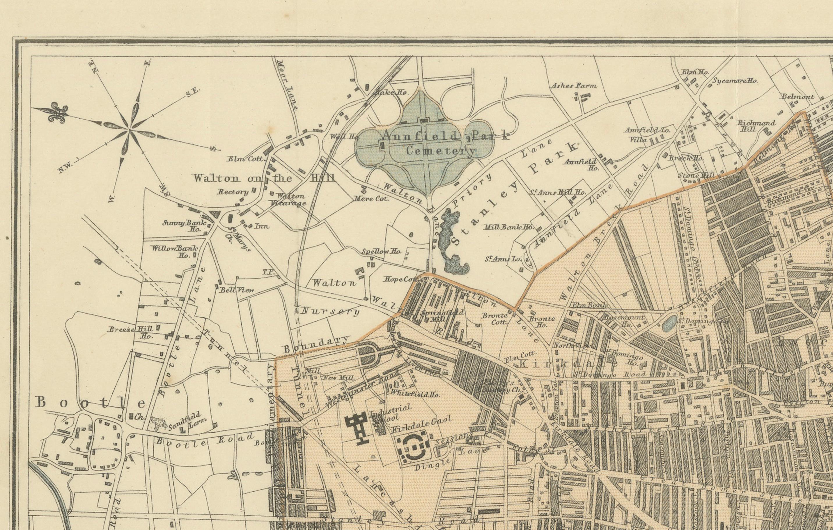
Detailed city plan titled 'Liverpool and Birkenhead with the surrounding districts', drawn by J. Bartholomew. Shows Liverpool north to south across the River Mersey, including docks, public buildings, parks, railways, and ferry routes. Birkenhead and adjacent areas are illustrated below the river, with a full reference key listing important sites. Likely published circa 1880.
Technique and material: Lithographed city plan with original colour tinting
Condition report: Very good condition. Strong print with original tinting. Light fold at center as issued. Minor age toning and faint handling marks in margins. No tears or repairs.
Framing tip:
Use a wide, off-white or pale grey mat to contrast the blue tinting of the Mersey. A classic dark wood or black frame adds elegance. Ensure archival mounting and UV-protective glazing to preserve colour and paper integrity.