About this sheet
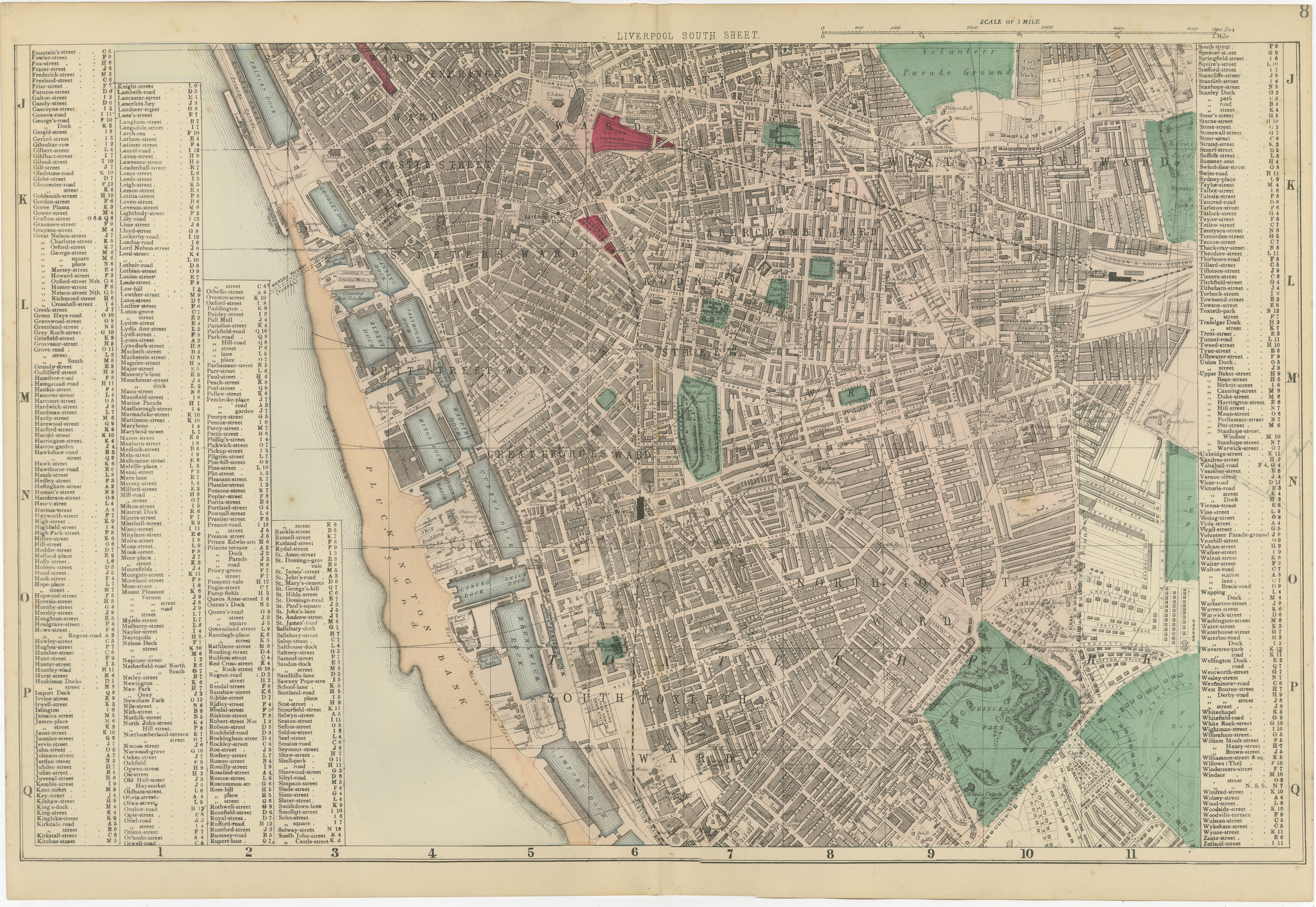
Decorative Liverpool City Plans, Victorian Atlas Map Pair, 1885
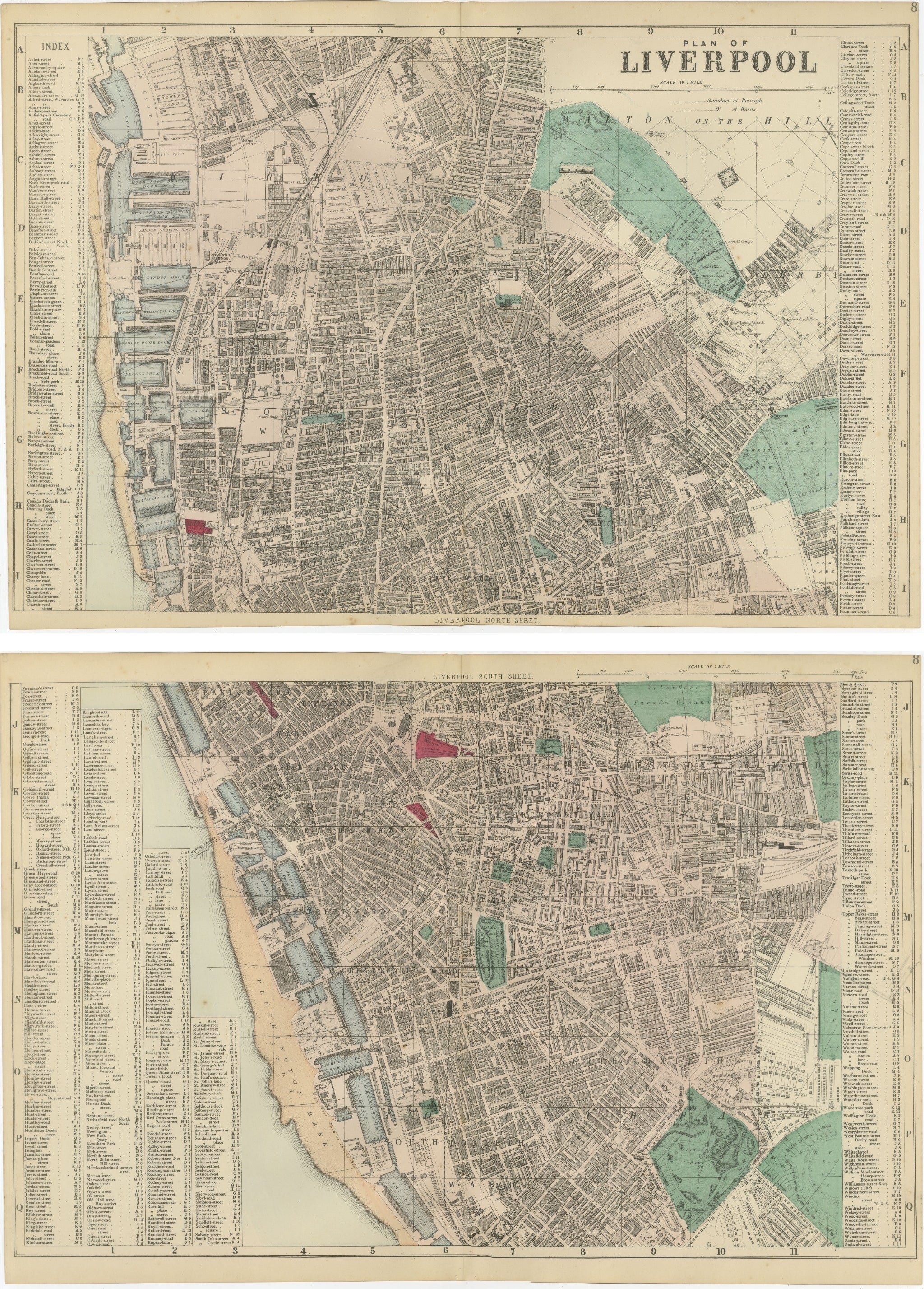
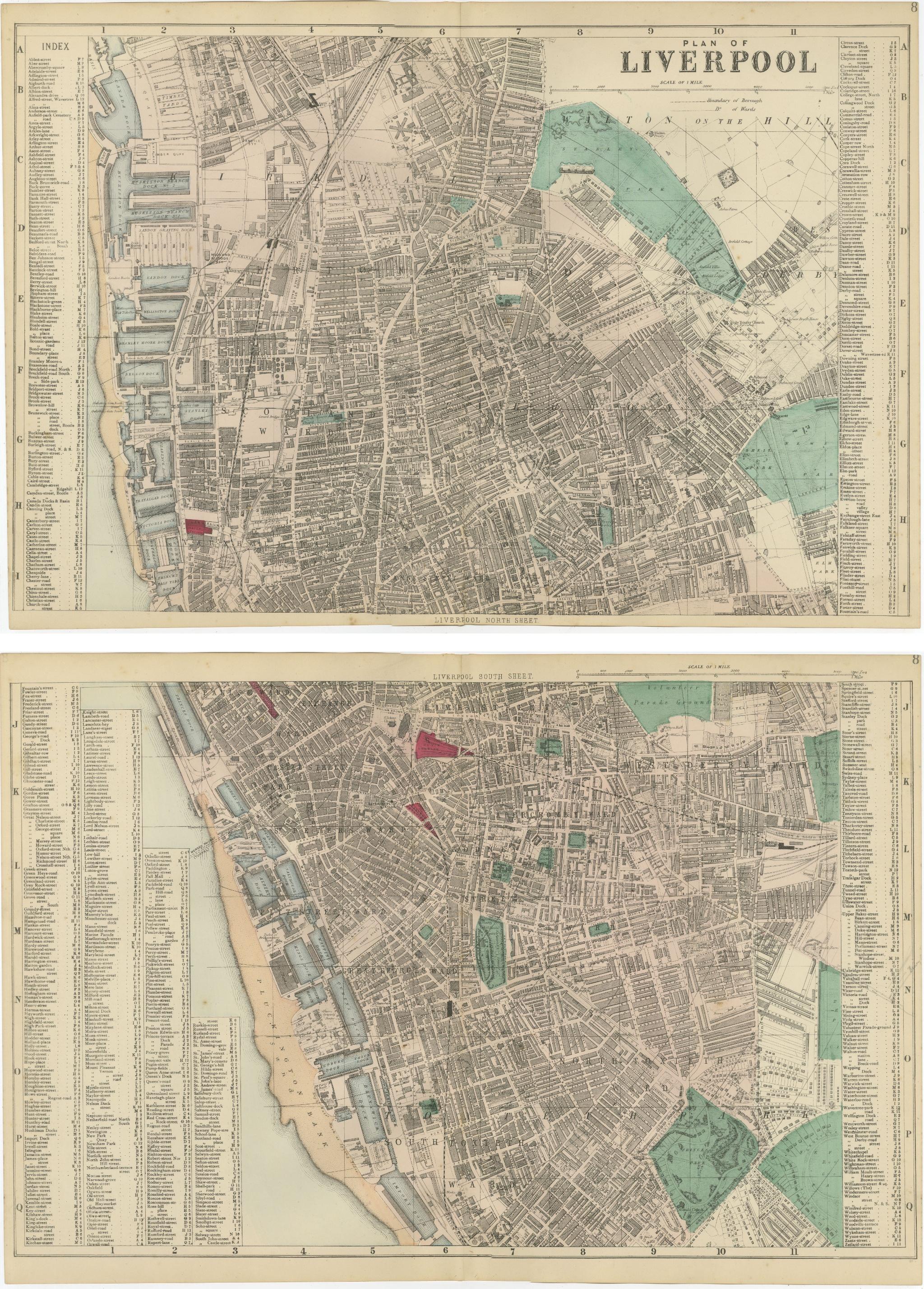
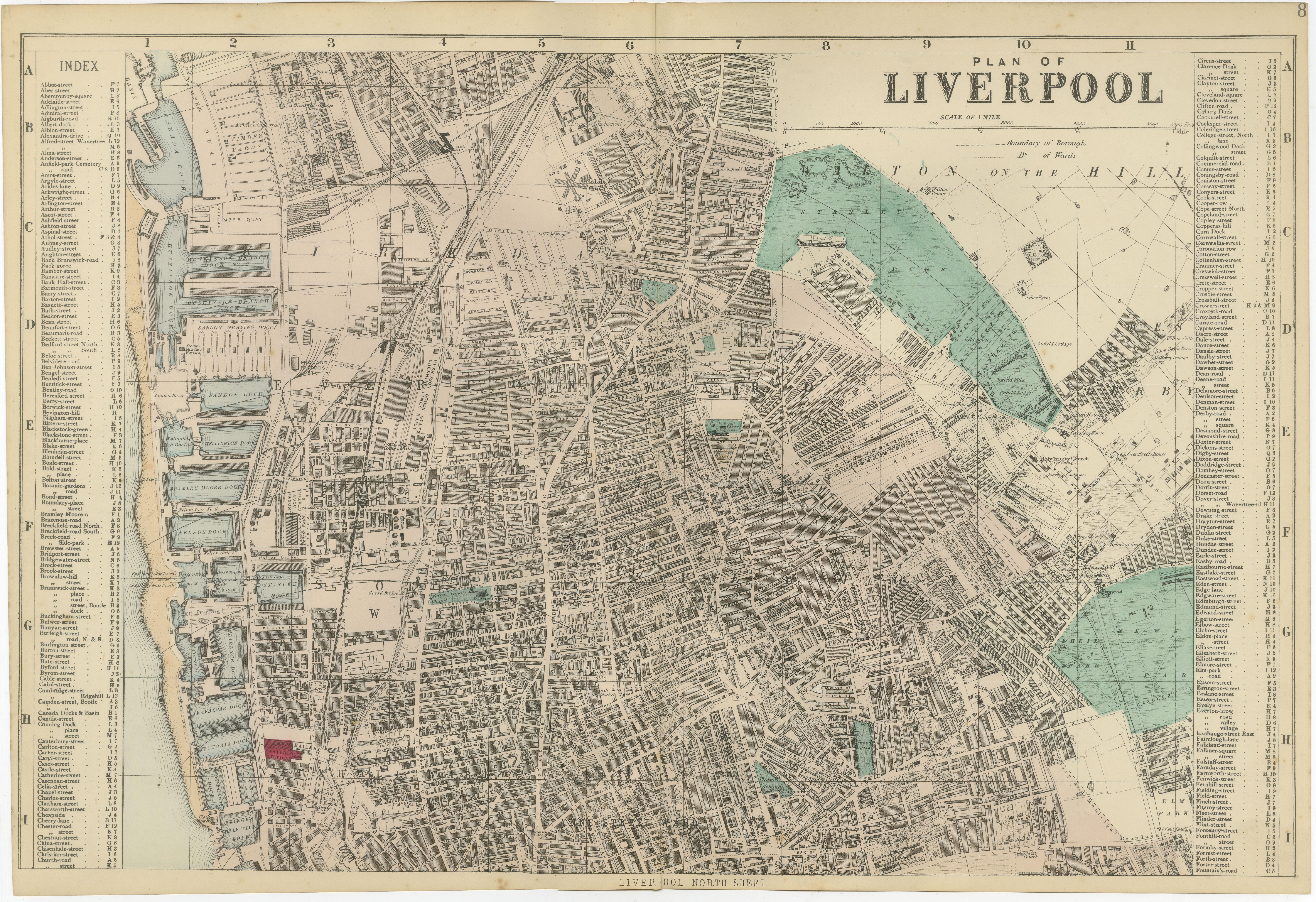
A highly decorative pair of large-scale Victorian city plans depicting Liverpool at the height of its maritime and industrial prominence in the late nineteenth century. Published in 1885 as part of a large-scale British atlas based on Ordnance and actual surveys, these detailed maps capture the city during a period of extraordinary urban expansion, commercial wealth, and architectural development.
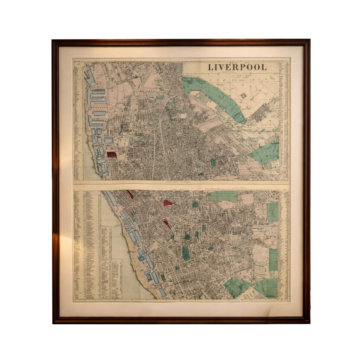
Note: The maps are offered unframed, allowing flexibility to select a frame that best suits the intended interior. See attached visuals for ideas.
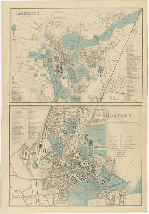
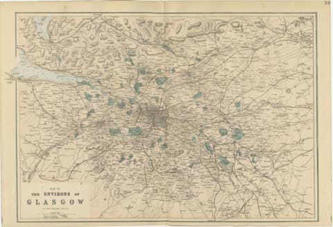
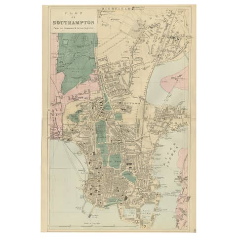
The maps present Liverpool in remarkable detail, illustrating the dense urban fabric surrounding the docks, commercial districts, residential neighborhoods, railway infrastructure, and public spaces that defined one of the British Empire’s most important port cities. Streets, squares, dock basins, warehouses, and civic buildings are carefully engraved, offering both historical documentation and strong visual rhythm across the composition. Areas of parkland and water are subtly hand-colored in soft greens and blues, creating an elegant tonal balance against the warm paper and fine black linework typical of late Victorian cartography.
Designed for clarity and usability, the plans combine technical precision with decorative appeal. The structured grid system, ornamental titling, and refined engraving give the sheets a sophisticated architectural presence, making them particularly suitable for interior display. When framed together, the pair forms an impressive panoramic wall piece, ideal for libraries, studies, offices, or contemporary interiors seeking historical character and visual texture.
Beyond their decorative qualities, these maps provide a fascinating snapshot of Liverpool during a transformative era marked by global trade, industrial innovation, and population growth. Rail lines converge toward the docks, reflecting the logistical complexity that made the city a central hub of nineteenth-century commerce.
Today, Victorian urban plans such as these are valued both by collectors of antique cartography and by interior designers for their balance of historical authenticity and refined graphic composition. The large scale and harmonious coloration allow the maps to function equally as scholarly objects and statement wall décor.
Condition: Good antique condition overall. Light age-related toning and occasional spotting consistent with nineteenth-century paper. Original fold lines visible as issued. Minor edge wear confined mainly to the margins; visually strong and highly suitable for framing.
Framing tips: Best presented as a two-panel installation with matching dark walnut or black frames and wide ivory mats to emphasize the architectural detail. Floating mounts also work well to highlight the full sheet edges and period character.
Technique: Lithograph with original hand color
Maker: Published in London, United Kingdom, 1885