About this sheet
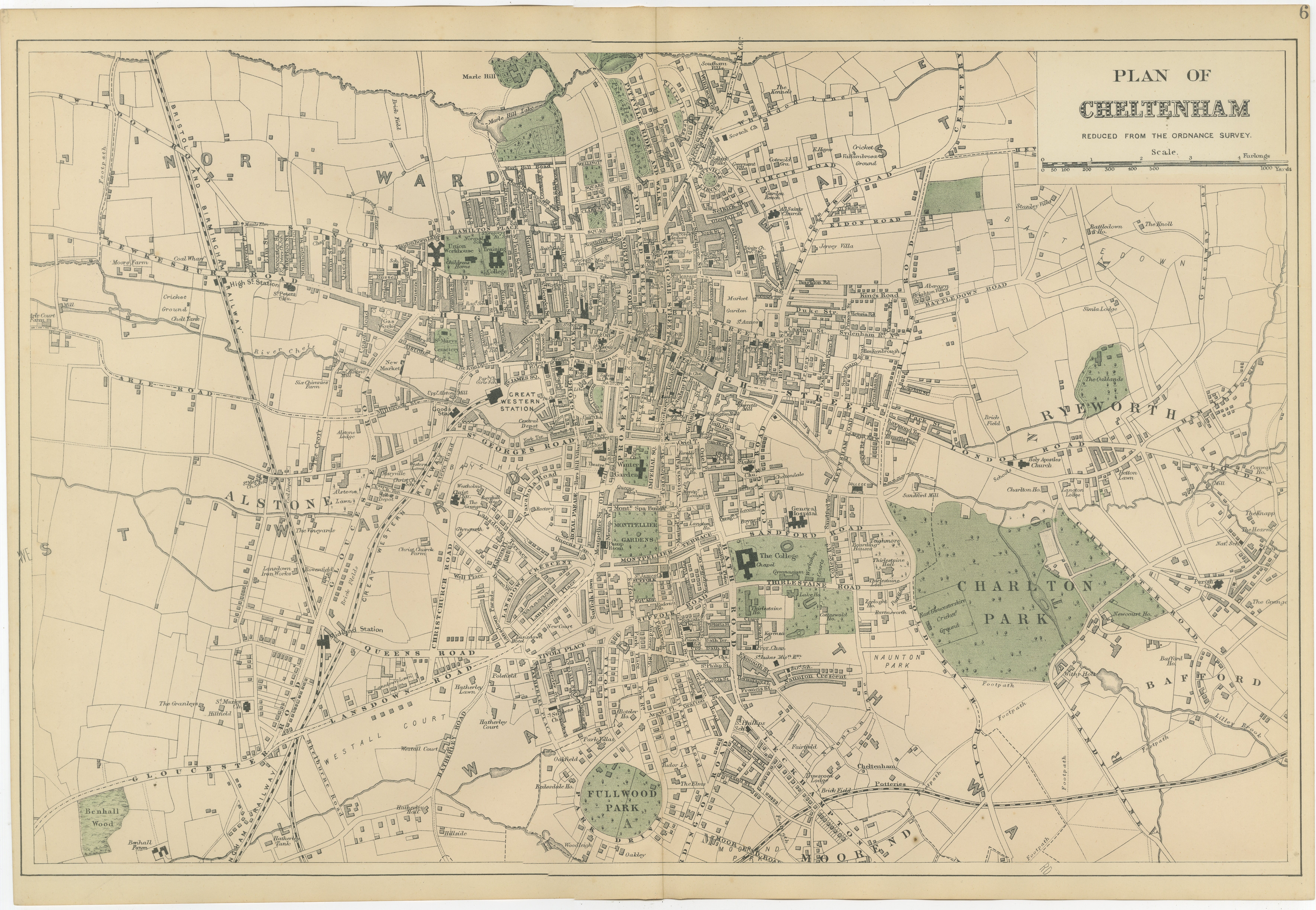
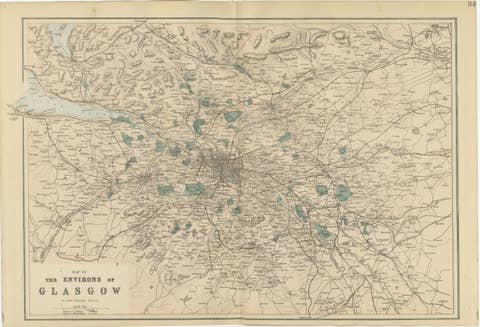
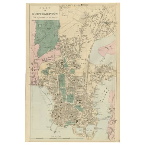
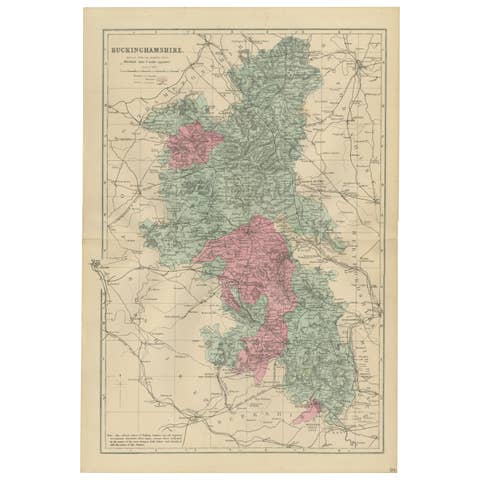
Cheltenham Urban Plan 1885, Bacon’s New Large Scale Ordnance Atlas Map
A finely engraved antique plan of Cheltenham, published in 1885 by the London cartographer George W. Bacon as part of the New Large Scale Ordnance Atlas of the British Isles with Plans of Towns. Based on official Ordnance Survey data and contemporary surveys, the map documents the celebrated spa town during the height of the Victorian era, when Cheltenham had firmly established itself as one of England’s most fashionable provincial centers.
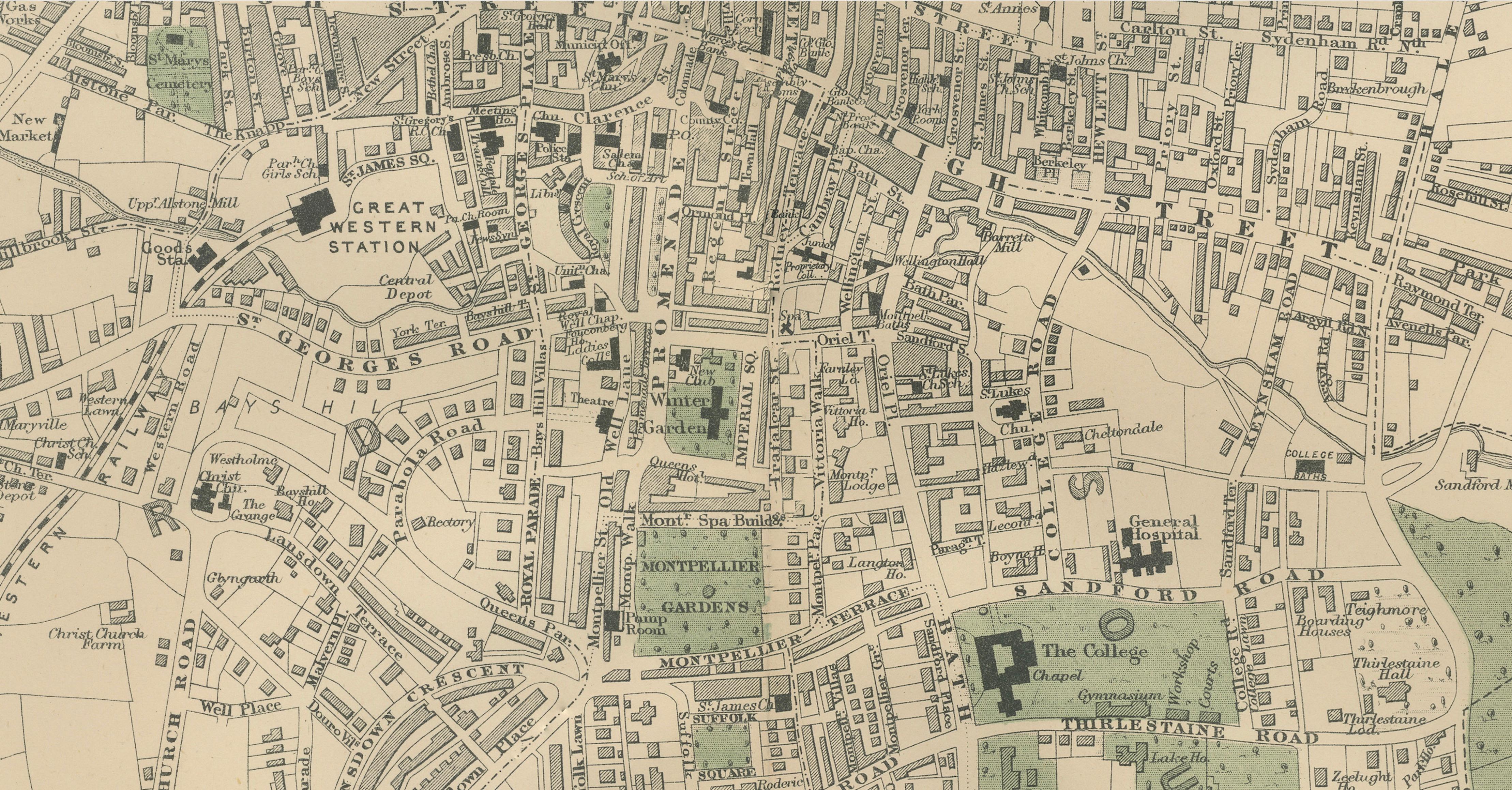
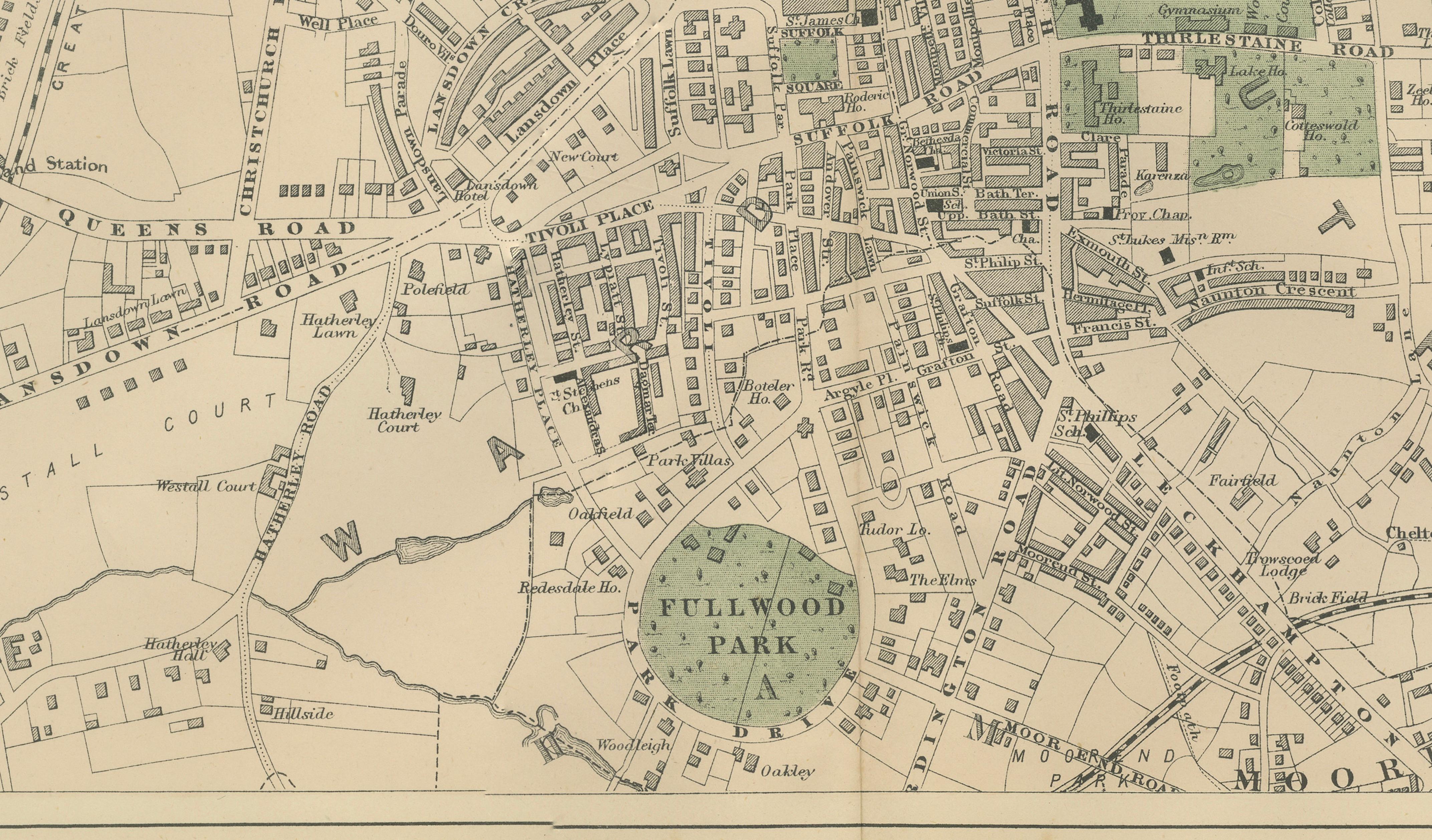
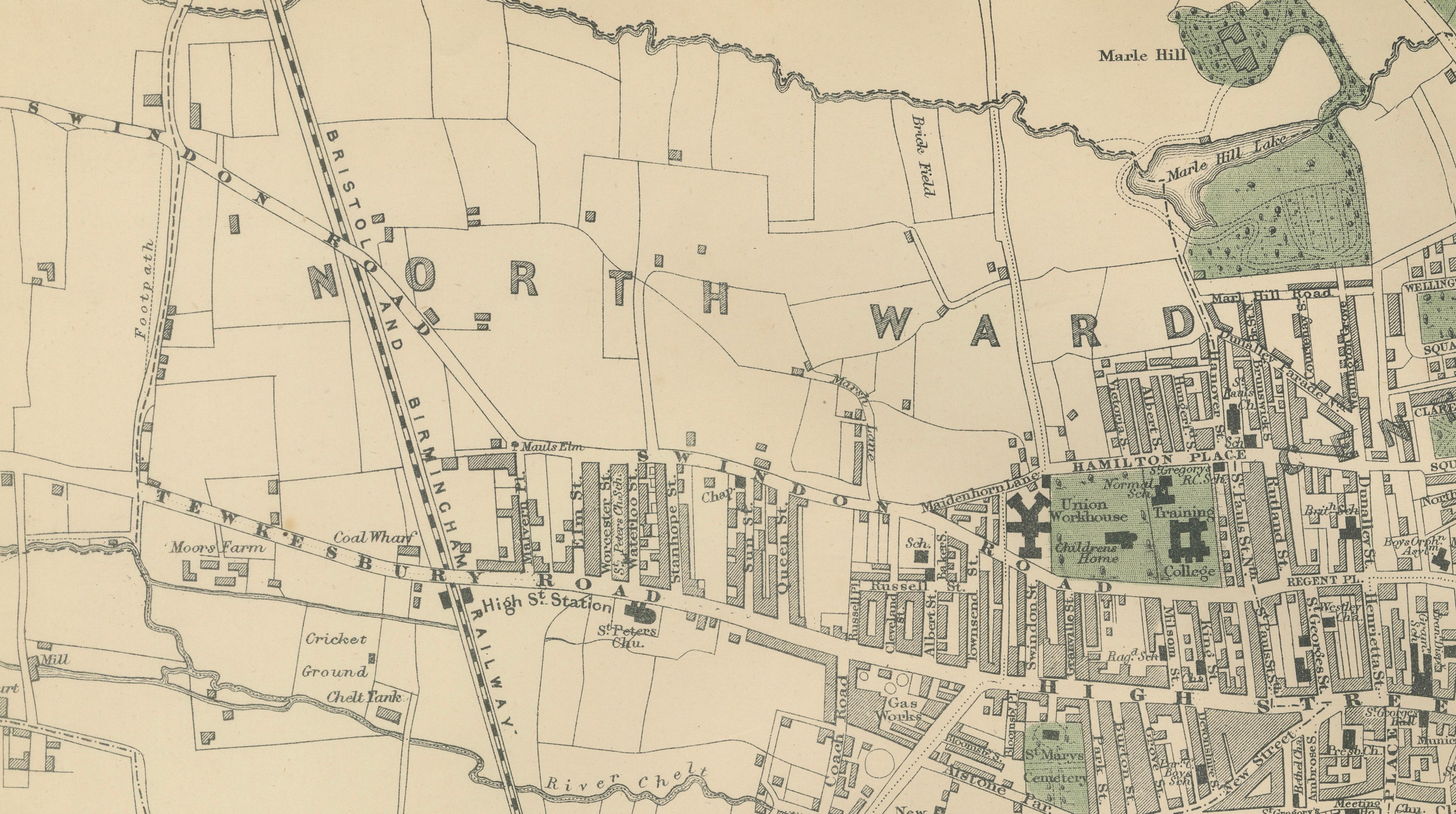
The plan captures the town with remarkable clarity and precision, illustrating streets, terraces, railway connections, public buildings, and expanding residential districts that reflect nineteenth-century urban planning ideals. The layout reveals Cheltenham’s distinctive balance between elegant Regency planning and later Victorian expansion, with organized streets radiating outward from the historic core.
Original hand coloring softly distinguishes parks, institutional grounds, and surrounding rural landscapes, providing visual rhythm across the composition while enhancing legibility. Notable green spaces such as Pittville Park and Charlton Park are clearly defined, emphasizing the importance of leisure, health, and landscape design in Cheltenham’s identity as a spa destination. The surrounding agricultural fields and developing suburbs illustrate the transitional moment between rural Gloucestershire and a rapidly modernizing urban environment.
George W. Bacon’s atlas plans are admired for combining official survey accuracy with refined engraving suited both to reference and display. Today, these maps are increasingly sought after for their architectural detail, historical insight, and understated decorative appeal, making them equally suitable for collectors, historians, and interior designers.
This example offers an elegant visual record of Cheltenham before twentieth-century redevelopment, preserving the structure of the Victorian townscape in a format that functions beautifully as both historical document and sophisticated wall artwork.
Condition:
Good antique condition overall. Light age-related toning with scattered spotting and minor handling wear to the margins. Original fold line as issued. Strong visual presentation.
Framing Tips:
Pairs exceptionally well with a dark walnut or ebonized frame and an ivory or warm off-white mat. A wide mat enhances the architectural clarity and gives the map a calm gallery presence ideal for studies, libraries, or contemporary interiors.
Technique: Lithograph with original hand color
Maker: George W. Bacon, London, 1885
Keyword Block:
antique map, Cheltenham map, Gloucestershire map, Victorian town plan, 1885 map, George W Bacon, Bacon atlas, Ordnance survey map, English city map, antique city plan, Cheltenham spa town, British cartography, antique lithograph map, 19th century map, Victorian England map, historical town plan, collectible map, architectural map print, British Isles atlas, decorative antique map, antique wall map, library decor map, study wall art, Regency Cheltenham map, Pittville Park map, English heritage map, antique urban plan, UK antique map, classic cartography, historical geography print, collectible British map, Victorian urban planning, engraved city plan, museum style map, interior designer wall art, antique atlas plate, neutral toned map, scholarly cartography, maps.