Maps & PrintsBartele Gallery · Langweer
Home / Antique Maps / Asia / South-East Asia / East Indies

East Indies · 16th century

Rare Original Miniature Map of Papua New Guinea and the Salomon Islands, 1600

€ 540

One of a kind: this is the sheet in the photographs. Ships from Langweer, the Netherlands.

Date
1600
Sheet size
12 × 18 cm (4.7 × 7.1 in)
Condition
Good
Reference
BGSH-007

Condition

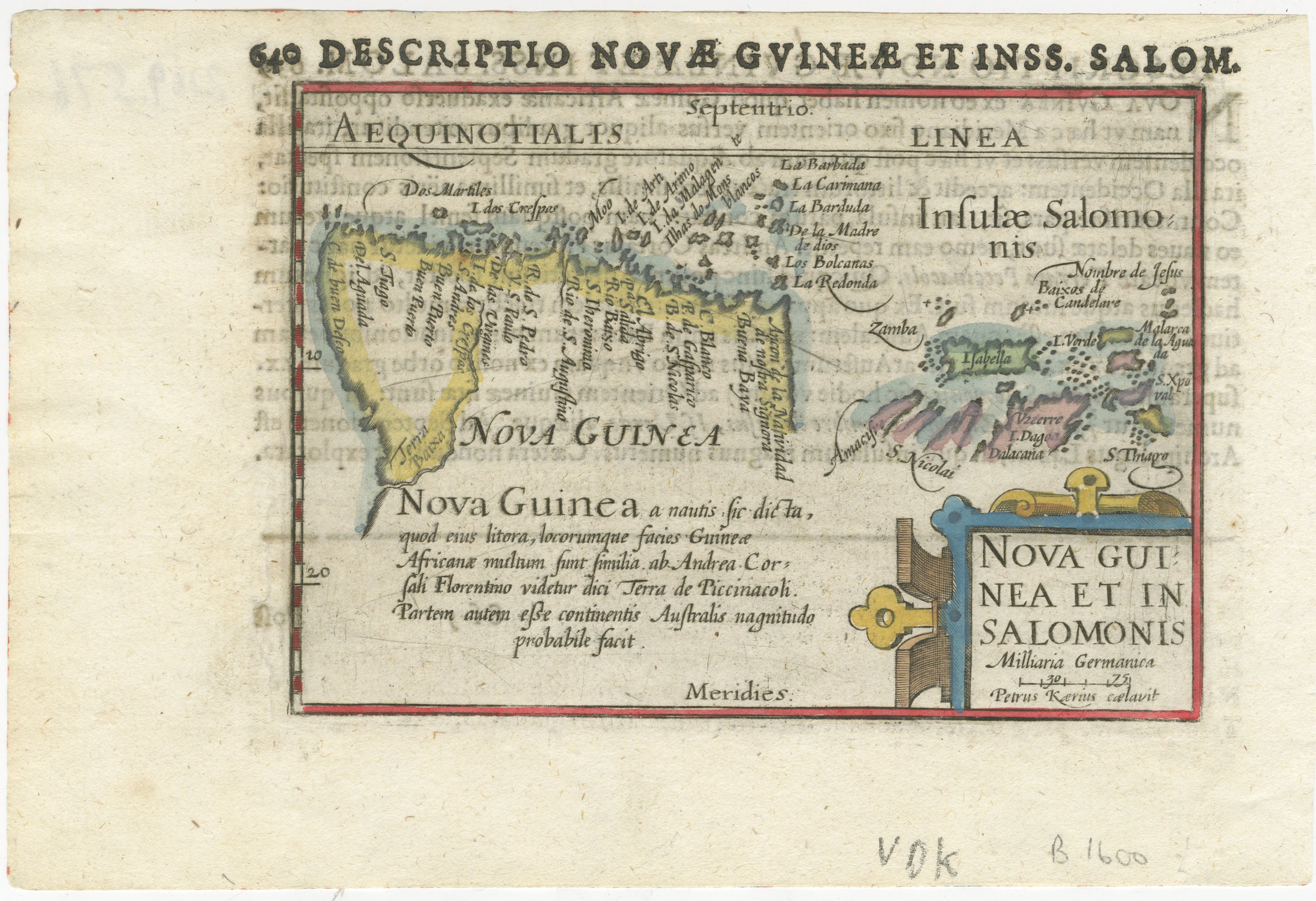
The image is fine and nicely coloured.
About this sheet

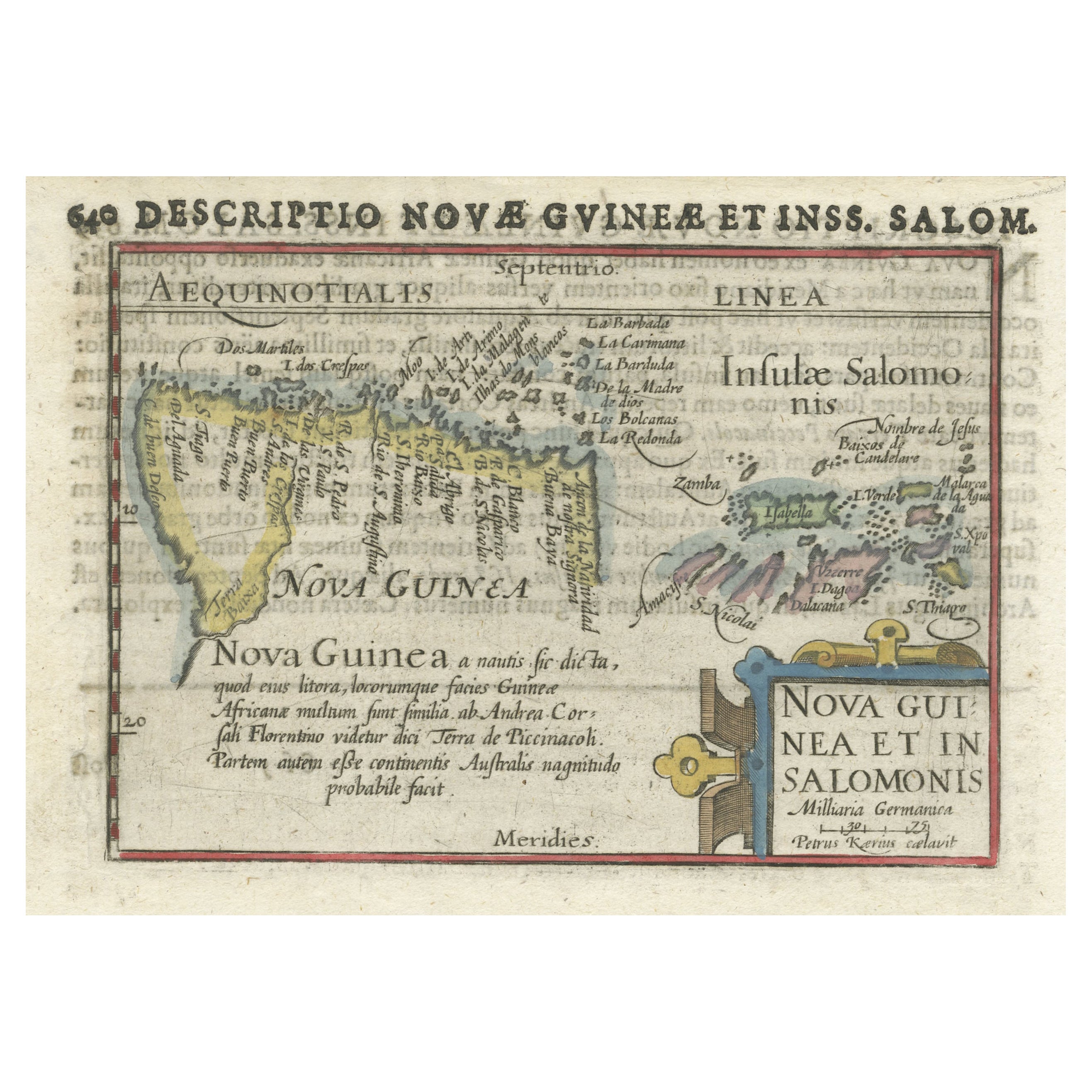
Very handsome original old coloured copper engraving of Papua and the Solomon Island. Title of the map 'Descriptio Novae Guneae et Inss. Salom.

On the reverse text in Latin.

Very interesting and decorative miniature map of this area over 400 years ago.

More from East Indies

Ask about this sheet

Rare Original Miniature Map of Papua New Guinea and the Salomon Islands, 1600
1600 · Ref. BGSH-007 · € 540
We reply by email, usually within one working day.