Antique Engravings of Mauritius and Indonesia, incl de Banda Islands, c.1730
€ 550
One of a kind: this is the sheet in the photographs. Ships from Langweer, the Netherlands.
Date
1730
Sheet size
22.4 × 31.8 cm (8.8 × 12.5 in)
Condition
Good
Reference
BG-13068
Condition
A nice impression on a sheet with a leaf-shaped watermark, light toning along the centerfold, and light soiling mostly confined to the blank margins.
About this sheet
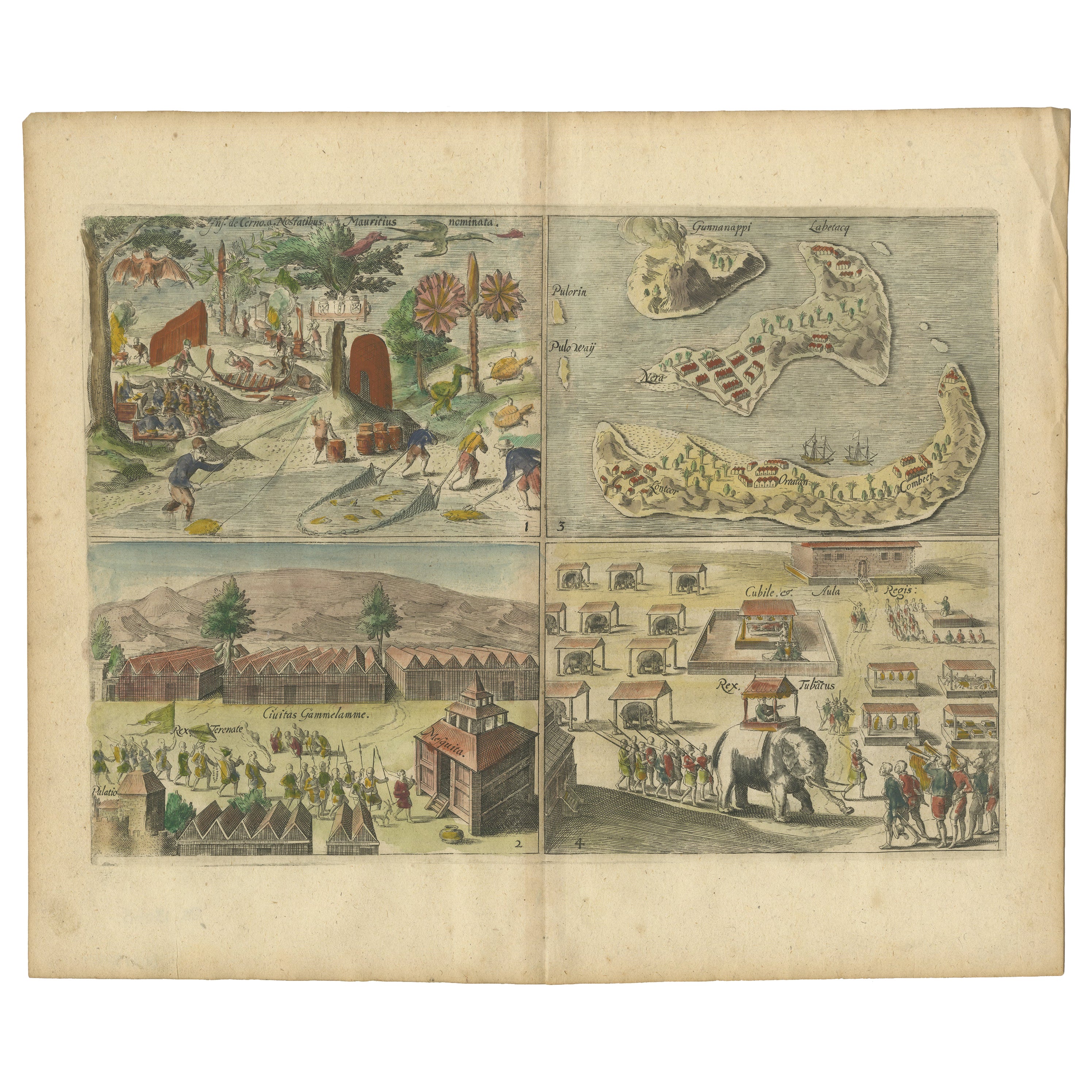
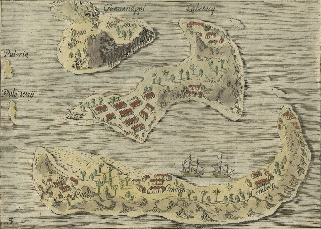
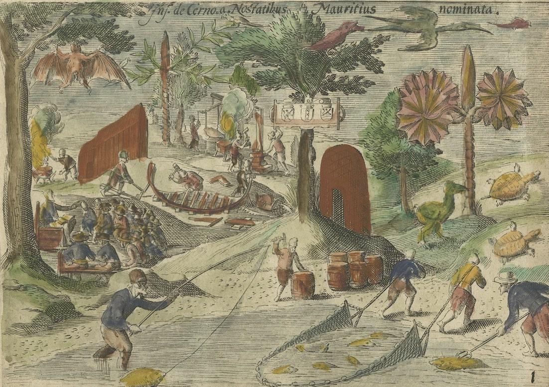
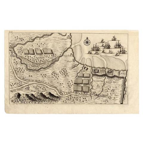
Title on page: "Ins. de Cerno a. Nostatibus Mauritius Nominata [on sheet with] Gunnanappi Labetacq [and] Civitas Gammelamme [and] Rex Tubatus", Le Clerc, Jean
This sheet includes four engravings, published in a history of Dutch exploration:
1. Top left: shows natives on Mauritius fishing and building a boat, with a dodo (extinct) and two turtles at right. 2. Top right: the Banda islands (also known as the Spice Islands) of Banda Api, Banda Neira and Banda Besar. 3. Bottom left: a procession for the king of Ternate in the town of Gamalama. 4, Bottom right: a procession for the king of Tuban, Java, riding an elephant.
Subject: Islands in Indonesia & Mauritius
Period: Circa 1730 Color: hand color Size: 12.5 x 8.8 inches / 31.8 x 22.4 cm
A nice impression on a sheet with a leaf-shaped watermark, light toning along the centerfold, and light soiling mostly confined to the blank margins.