Maps & PrintsBartele Gallery · Langweer
Home / Antique Maps / Asia / South-East Asia / East Indies

East Indies · 18th century

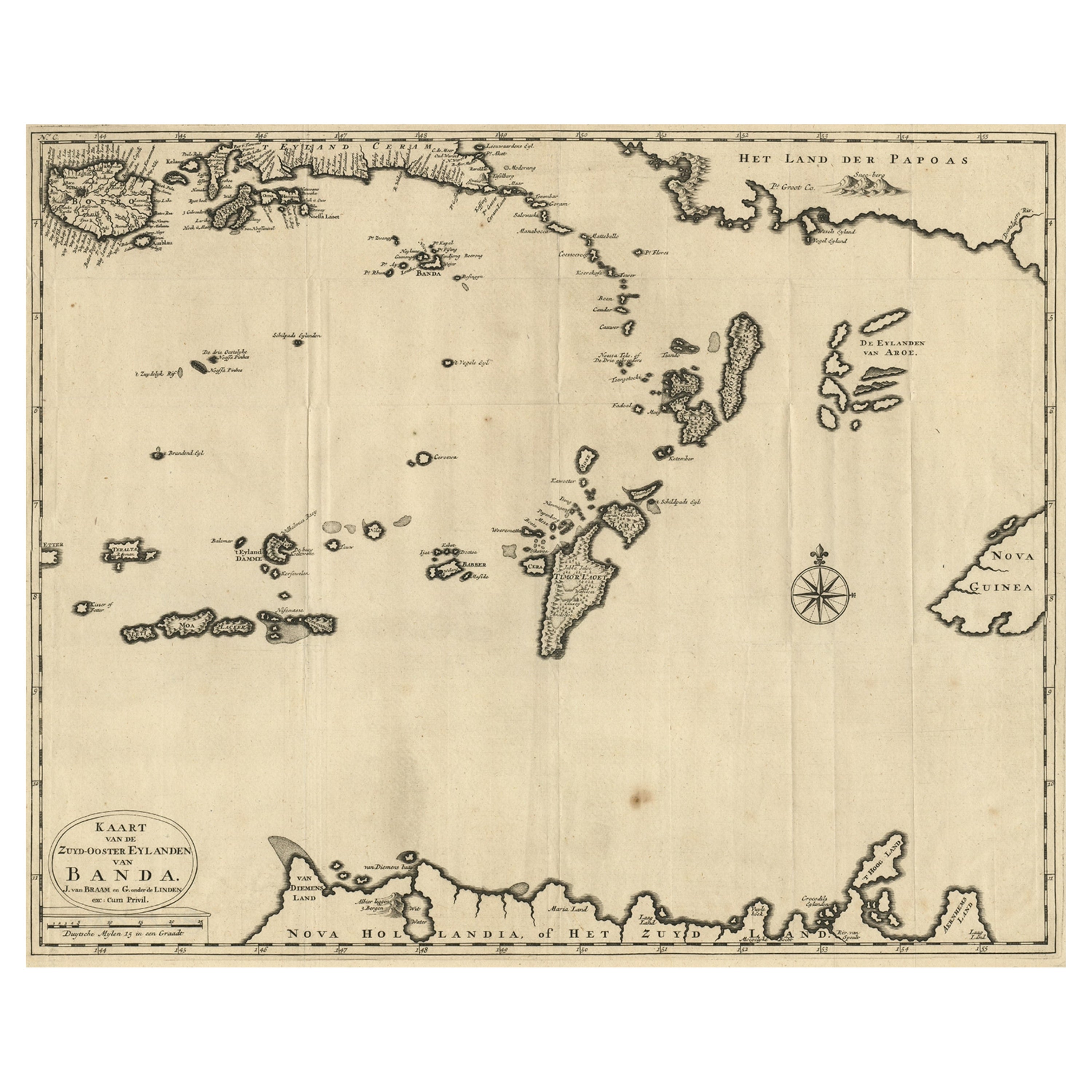
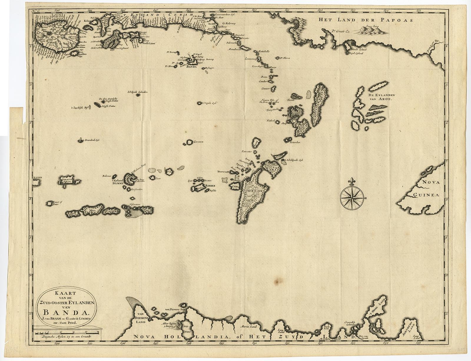
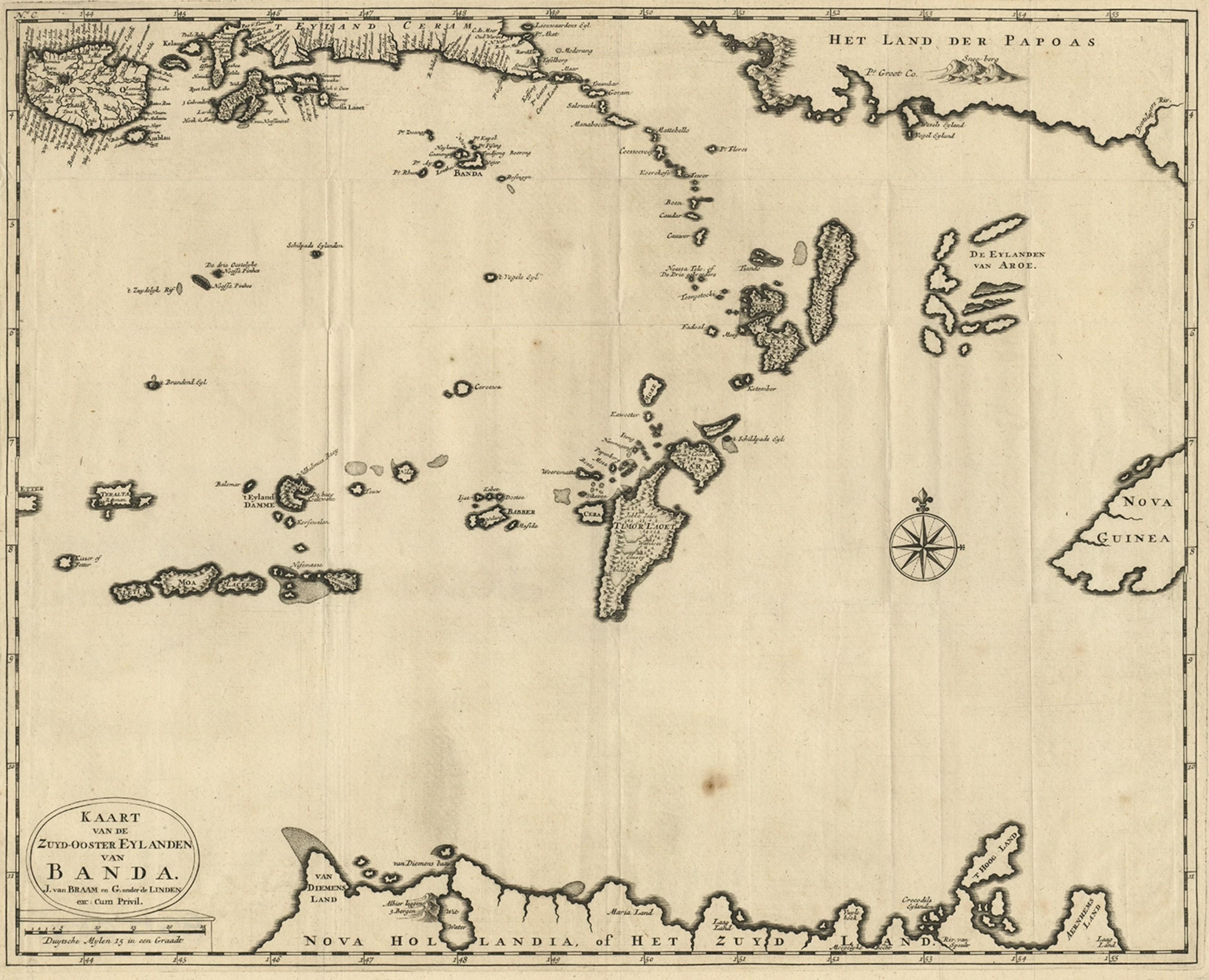
Map of the Southeastern Part of the Banda Islands, Incl Northern Australia, 1726

€ 1 120

Original antique · The actual sheet photographed · Certificate of authenticity on request · Sold unframed · Worldwide shipping from € 15 (rates)

Date
1726
Sheet size
47 × 58.5 cm (18.5 × 23.0 in)
Condition
Good
Reference
PC-58066

Condition

Given age. A few spots and faint soiling. A small tear in the lower left margin corner. Original folds as issued. General age-related toning and/or occasional minor defects from handling. Please review the images for further condition details.
About this sheet

Antique map titled 'Kaart van de Zuyd-Ooster Eylanden van Banda.'

Map of the southeastern part of the Banda islands. This map originates from 'Oud en Nieuw Oost-Indiën' by François Valentyn, published 1726.

Artists and Engravers: François Valentijn (1666-1727), was a Dutch missionary, worked at Amboina from 1684 to 1694 and 1705 to 1713 and traveled extensively in the VOC's lands.

More from East Indies

Ask about this sheet

Map of the Southeastern Part of the Banda Islands, Incl Northern Australia, 1726
1726 · Ref. PC-58066 · € 1 120
We reply by email, usually within one working day.