About this sheet
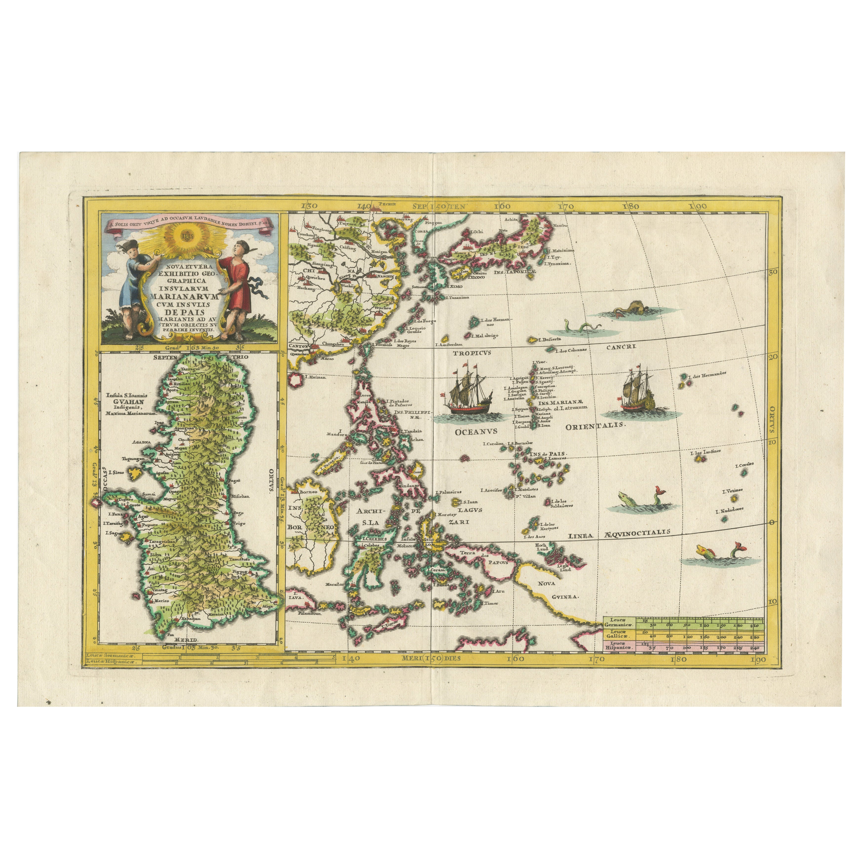
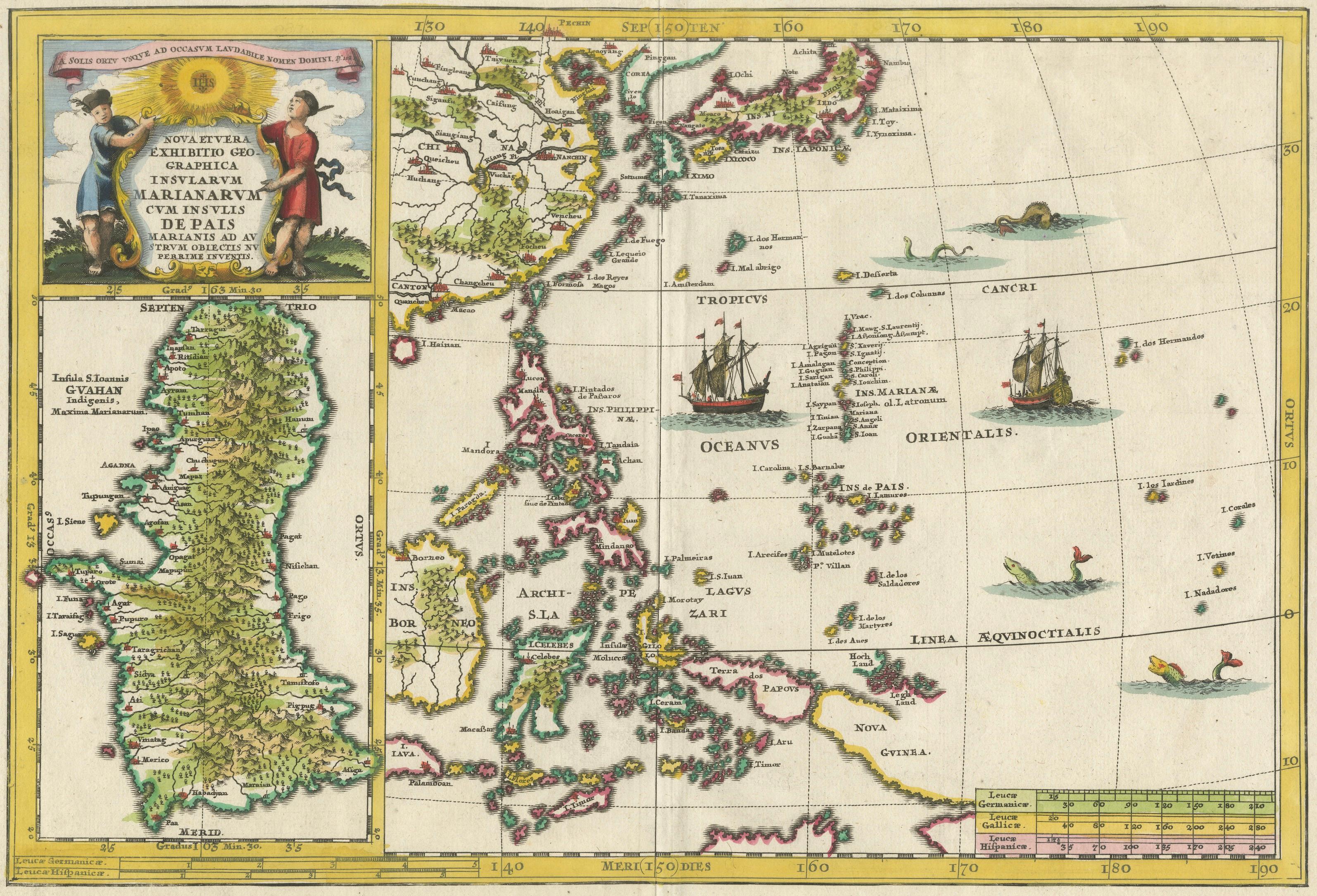
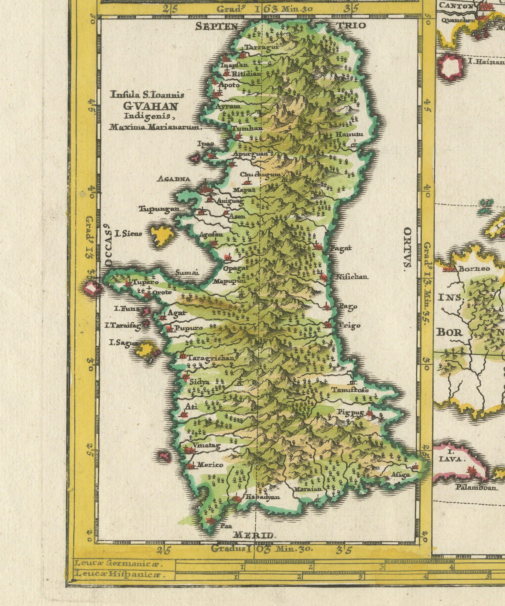
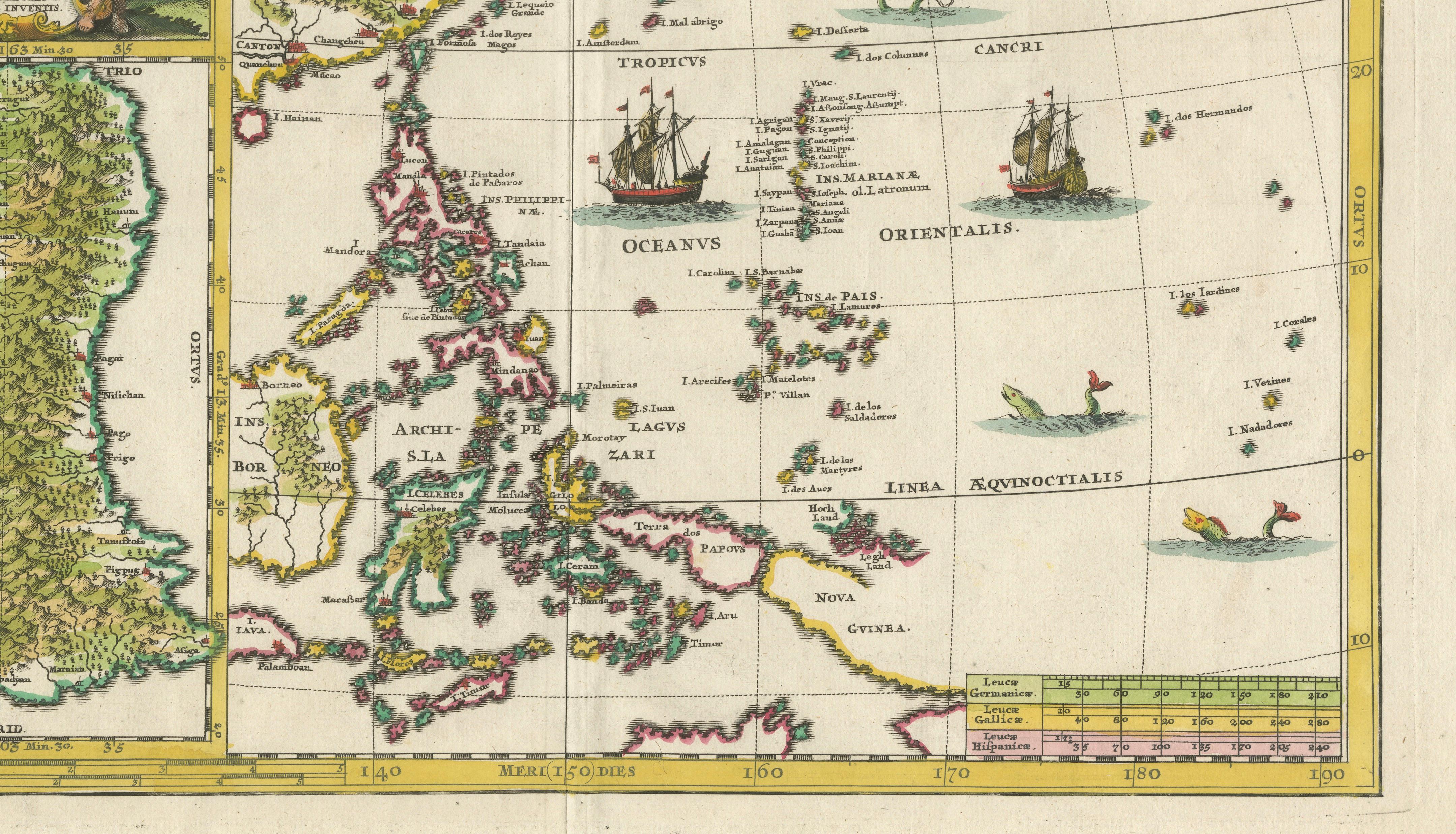
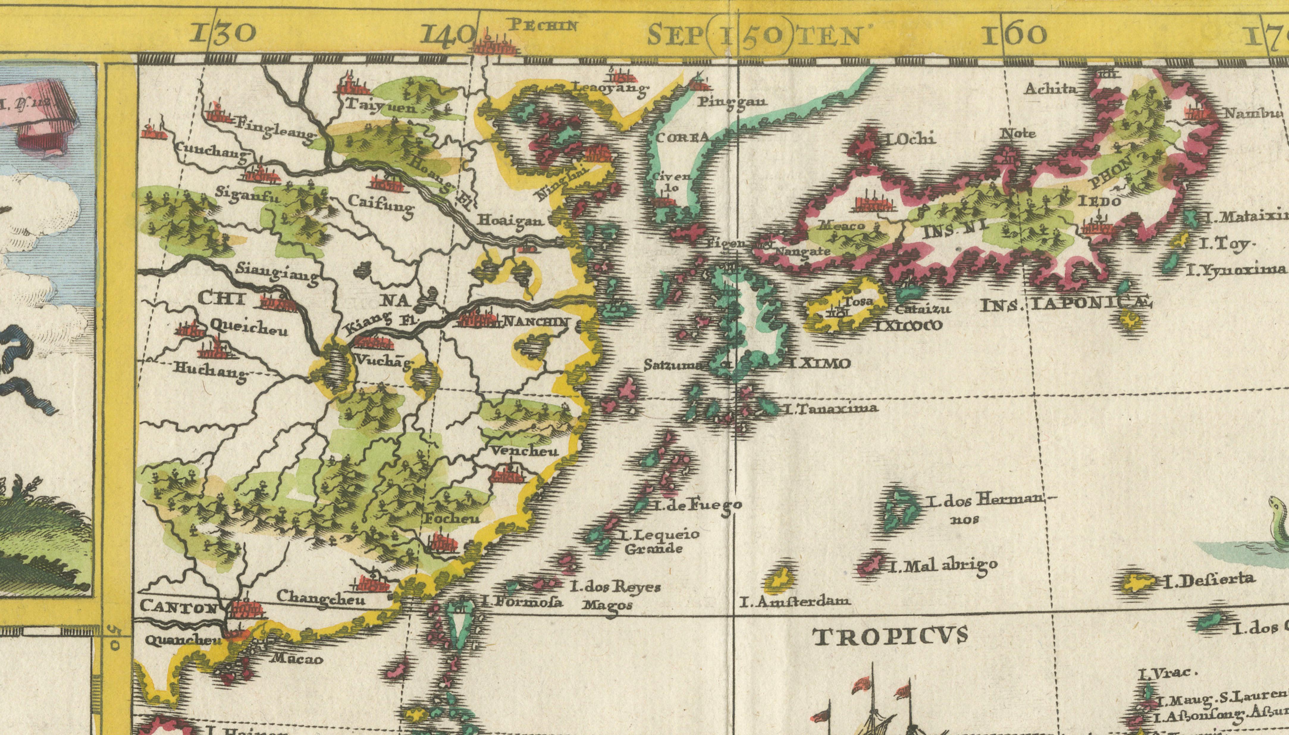
This fascinating and richly detailed map depicts the Philippines, China, Japan, and Korea, set within the wider context of East and Southeast Asia, and includes a large and highly detailed inset map of Guam. It originates from the monumental Atlas Novus by Heinrich Scherer, one of the most original and intellectually ambitious cartographic projects of the early 18th century.
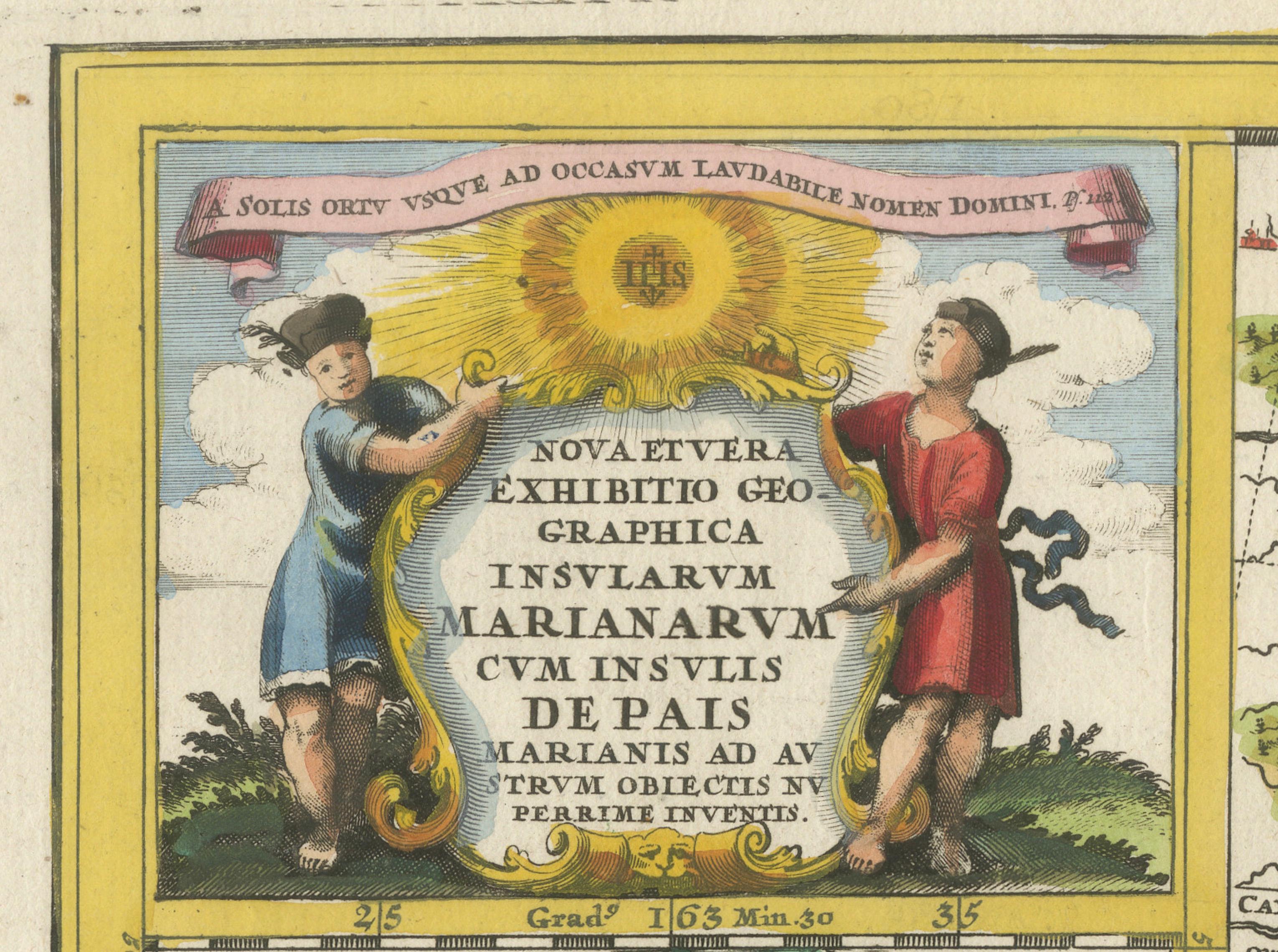
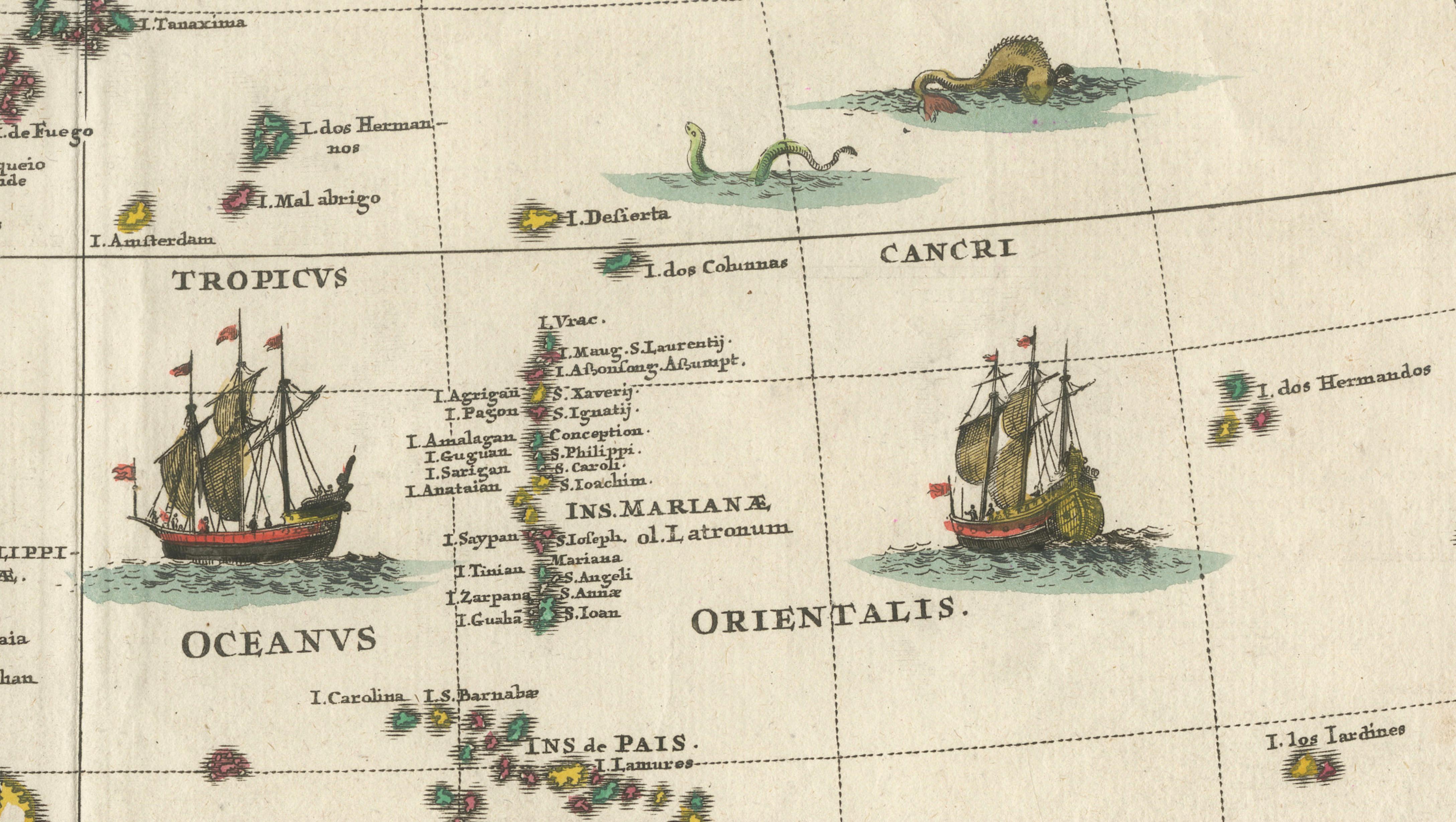
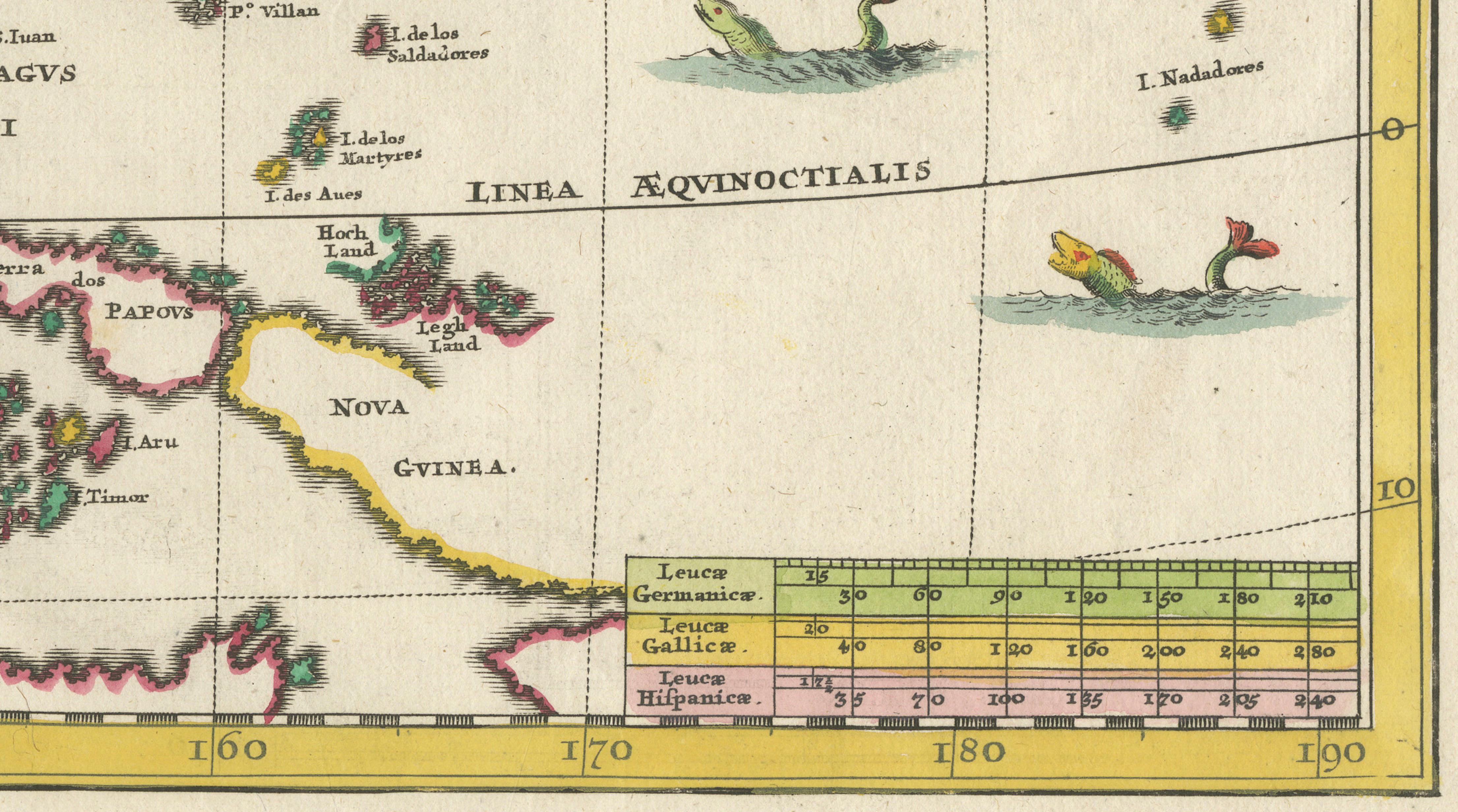
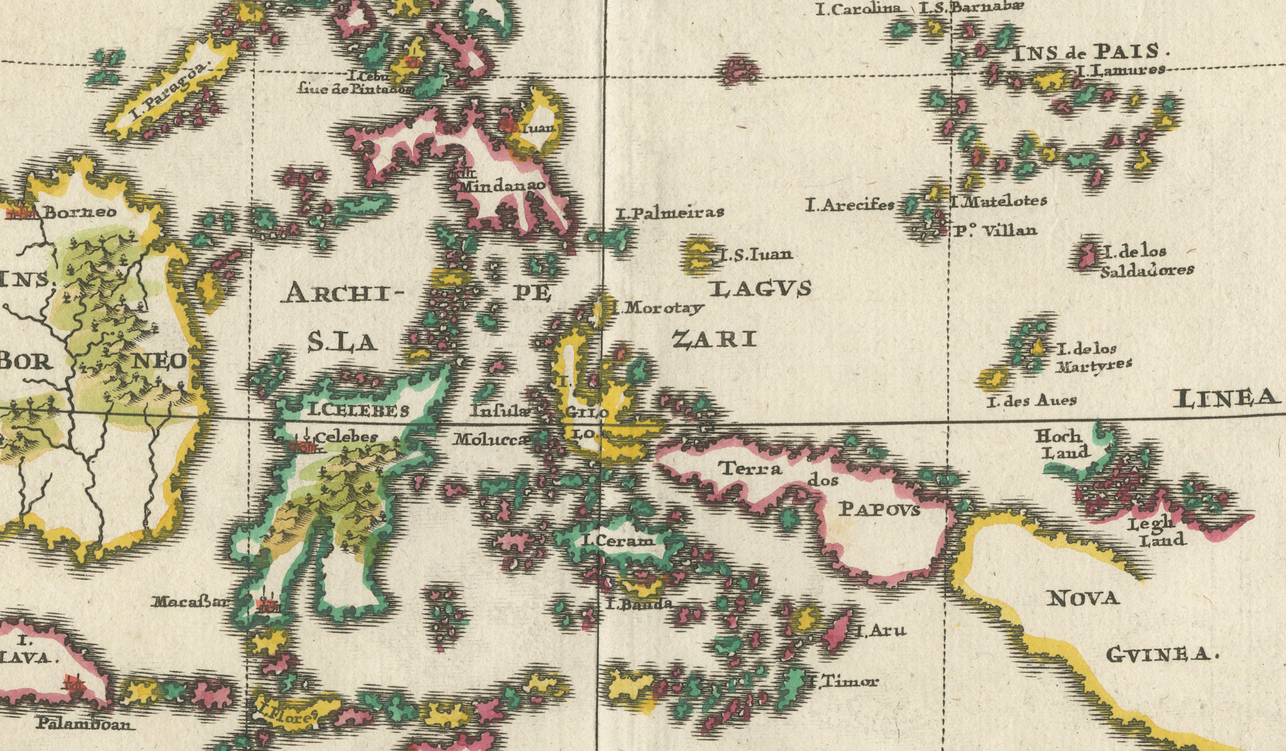
The map reflects European geographic knowledge of the Far East around 1700, showing coastal China, the Korean peninsula, the Japanese archipelago, the Philippine islands, and parts of Southeast Asia extending toward New Guinea. Latitude lines, the Equator, and the Tropics are clearly marked, while ships and sea creatures animate the surrounding oceans. The large inset of Guam underscores the strategic and missionary importance of the Mariana Islands within the Spanish and Jesuit world.
Heinrich Scherer (1628–1704) was a Jesuit scholar and professor of Hebrew, mathematics, and ethics at the University of Dillingen, later serving as tutor to the princely houses of Mantua and Bavaria. It was during his time in Munich that his cartographic work gained recognition. Scherer’s Atlas Novus, first published between 1702 and 1710, comprised seven thematic volumes and included 180 maps prepared between 1699 and 1700, engraved by Leonard Hecknaeur, Joseph Montelegre, and Matthus Wolfgang.
What distinguishes Scherer’s maps is their strong Catholic iconography and their pioneering thematic approach. As a Jesuit, Scherer infused his cartography with religious symbolism, visually charting the spread of Catholicism through Jesuit missionary activity. Many maps contrast regions of light and darkness to express the perceived reach of the Catholic faith, notably depicting China optimistically as enlightened despite the limited success of early Jesuit missions there. This map exemplifies Scherer’s role as a forerunner of thematic cartography, blending geography, religion, and ideology into a powerful visual statement.
Condition report:
Original centerfold as issued. Light overall toning consistent with age. Minor handling marks. Original hand coloring remains clear and vibrant.
Framing tips:
Float-mount with a warm ivory or light grey mat to preserve the margins and emphasize the decorative cartouche and inset. A dark wood or black frame enhances the strong outlines and vivid coloring.
Technique: Copper engraving with original hand coloring
Maker: Heinrich Scherer
Date: circa 1700