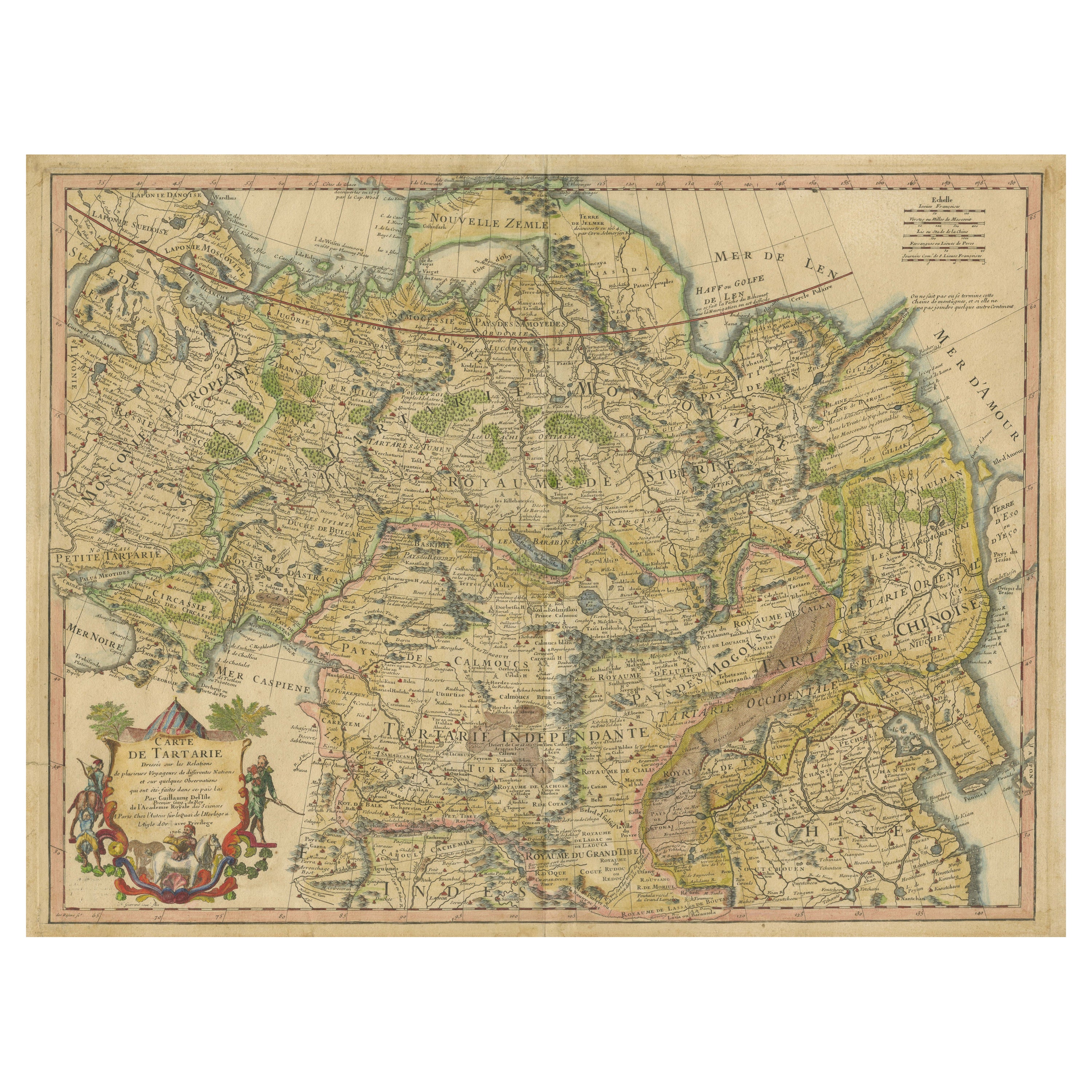

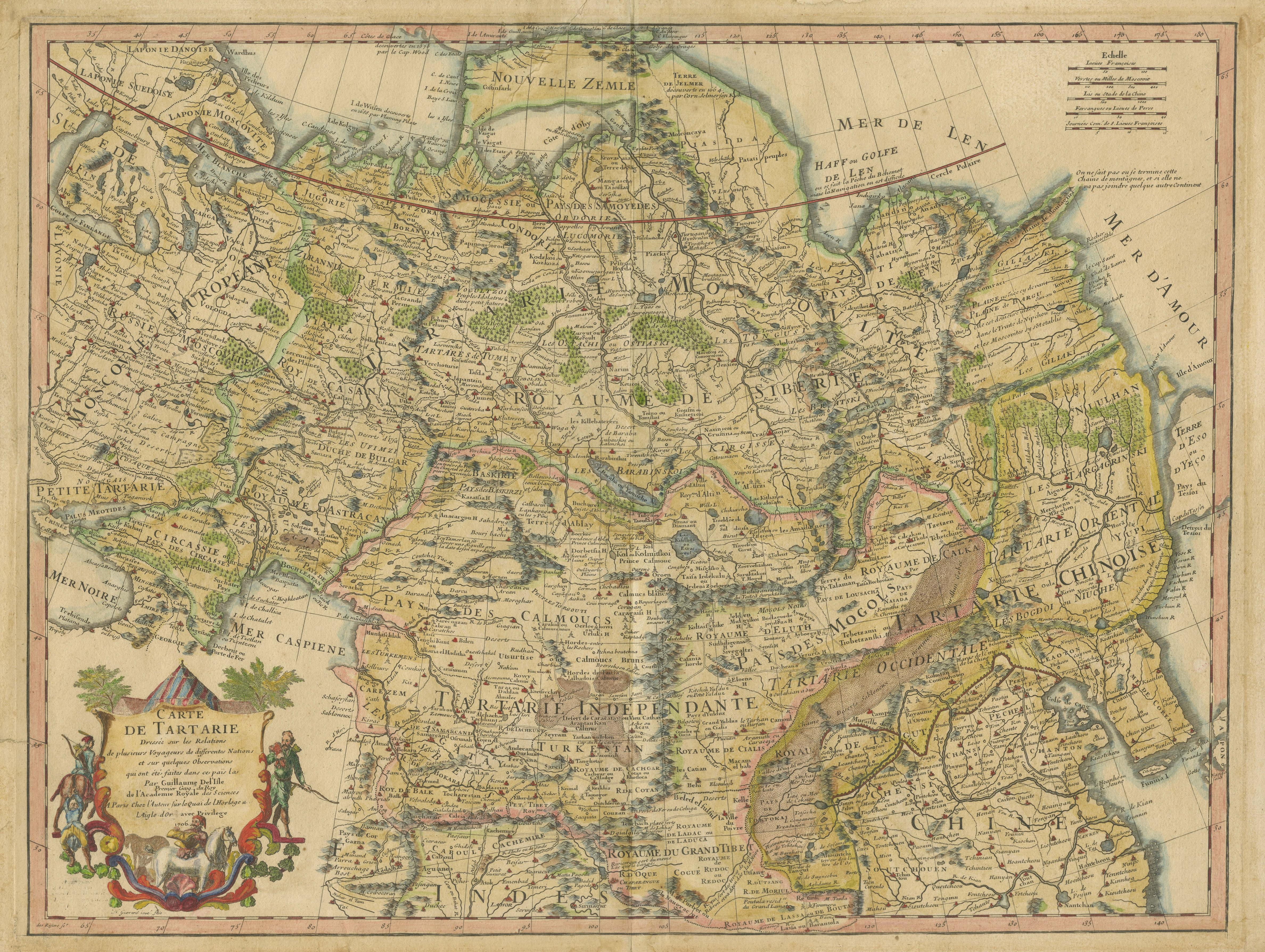
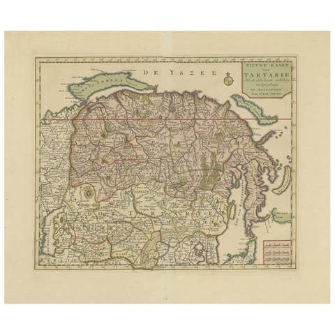
Antique Map of Tartary, Showing the Great Wall of China, 1718
€ 1 100
One of a kind: this is the sheet in the photographs. Ships from Langweer, the Netherlands.
Date
1718
Sheet size
51.7 × 69 cm (20.4 × 27.2 in)
Condition
Fair
Reference
BG-13417-1
Condition
Age-related toning. Few tears in margins, sl. affecting image. Shows strong wear and soiling, blank verso with manuscript title. Please study image carefully.
About this sheet
Antique map titled 'Carte de Tartarie'. Detailed map of Tartary, consisting of the Eastern part of Russia, Central Asia, China and Korea, first published by Guillaume De L'Isle in 1706. The map extends from the Peninsula of Korea in the east to the Caspian and Black Seas. The Great Wall of China is shown, as is the Silk Route, many roads and remote settlements, mountain ranges, rivers, etc. The wide swath of the Gobi Desert appears quite prominently, as does the Great Kingdom of Tibet, Cossack regions, the Country of the Mongols and many other features. Published circa 1718 (2nd state), with imprint "Premier Geo. du Roi" added in the cartouche.