1825 Buchon Map of Puerto Rico & Virgin Islands with Detailed Colonial History
€ 460
Original antique · The actual sheet photographed · Certificate of authenticity on request · Sold unframed · Worldwide shipping from € 15 (rates)
Date
1825
Sheet size
53.5 × 79 cm (21.1 × 31.1 in)
Reference
BG-13619-2
What the condition grades mean
Excellent
Bright and clean, with no faults worth mentioning.
Very good
Only light signs of age, such as faint toning.
Good
Normal signs of age for a sheet of this period: toning, some foxing, small marks or neat old repairs.
Fair
Clear faults such as staining, tears or repairs, priced to match.
Every fault we see is written in the condition note, and the whole sheet is shown uncropped in the photos.
Condition
Good, given age. Vertical folding line as issued. General age-related toning and/or occasional minor defects from handling. Please study scans carefully.
About this sheet
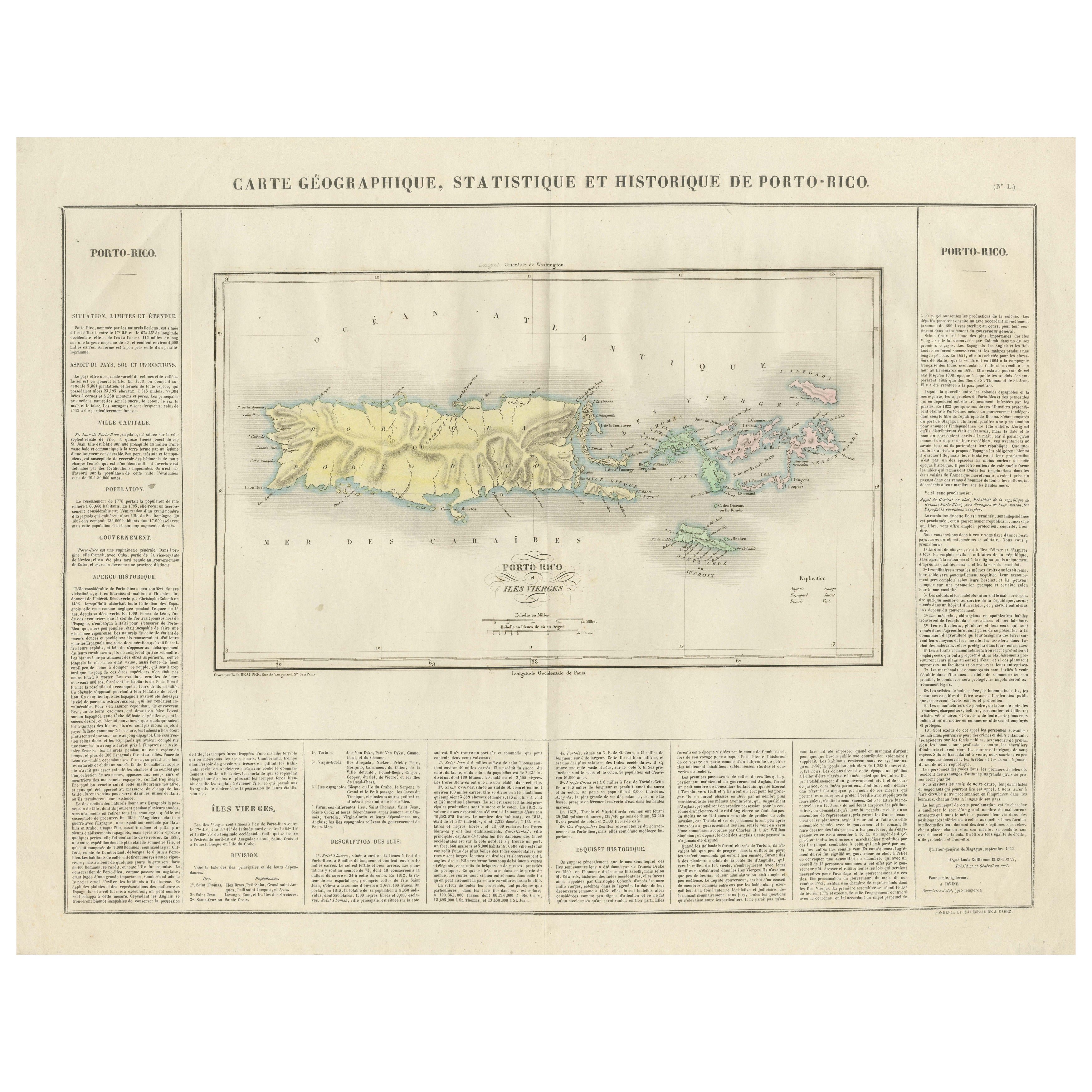
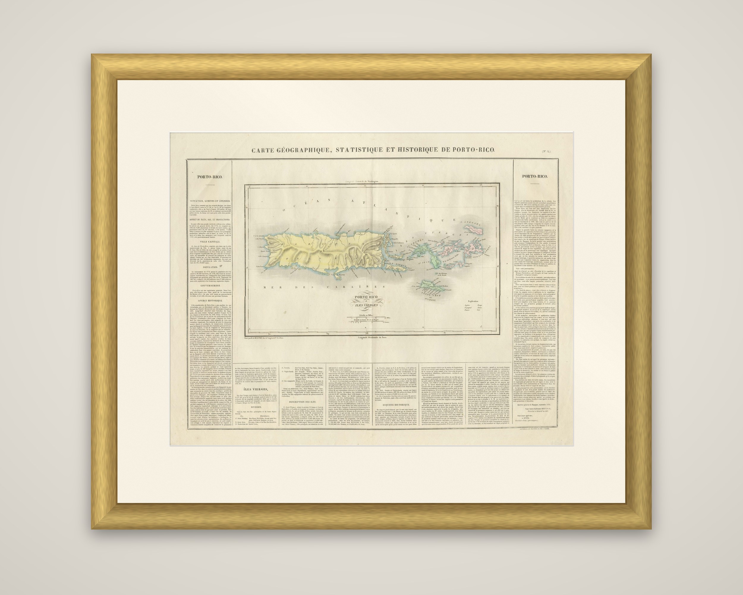
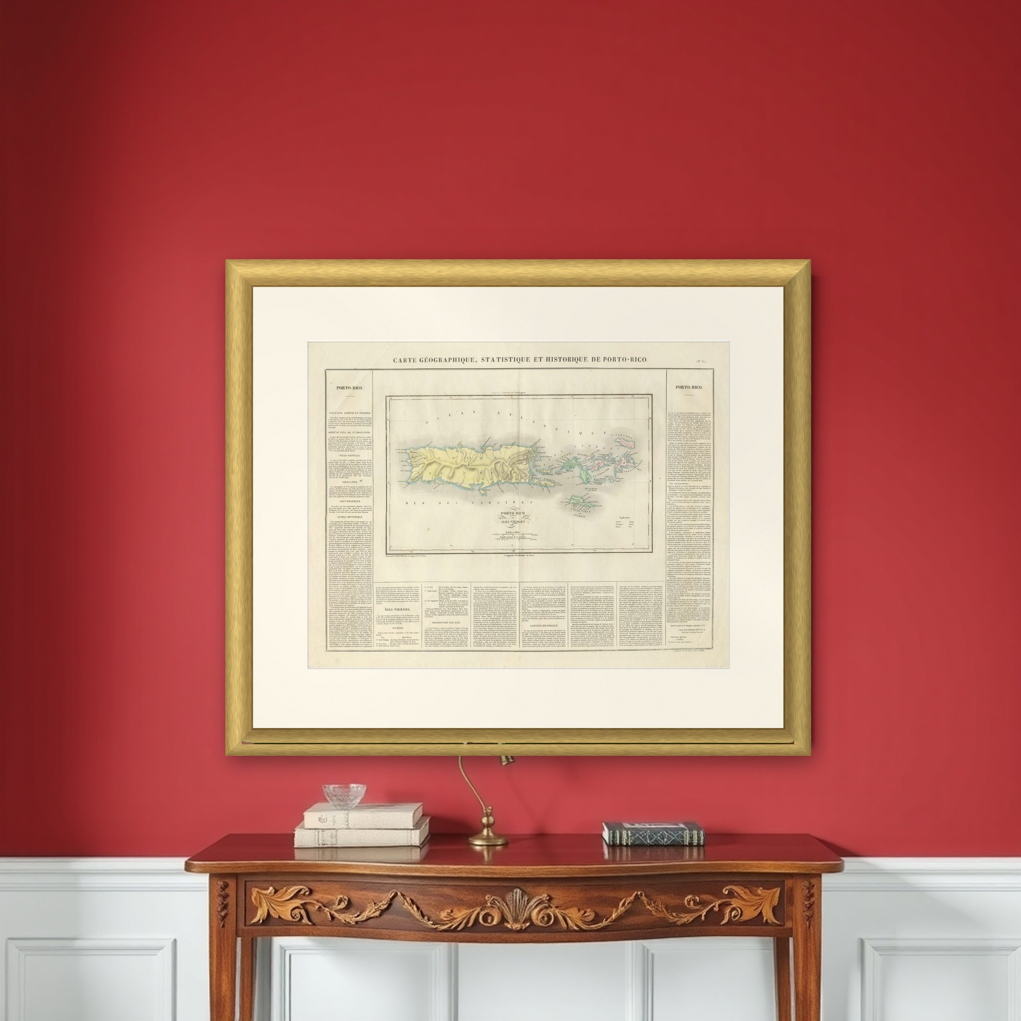
Puerto Rico and the Virgin Islands on a French map titled "Carte géographique, statistique et historique de Porto-Rico", published by Jean Alexandre Buchon in 1825 in his atlas of the Americas, adapted from Carey and Lea's American Atlas. The map is an original engraving with hand-colored outlines and is surrounded by letterpress text.
The engraved map occupies the center of the sheet. Puerto Rico ("Porto-Rico") is tinted yellow with its relief shown by shading and its coastal towns and bays lettered around the edge, and the Atlantic ("Océan Atlantique") lies above and the "Mer des Caraïbes" below. To the east, the "Îles Vierges" are spread in a long chain, colored by ownership in green, red and pink. A small legend ("Explication") sits at the lower right of the map, with a scale in miles and the longitude figures reckoned from Paris.
The map is only half the sheet. Dense French text columns at the left, right and foot give the situation, extent, products, capital, population, government and history of Puerto Rico, then the Virgin Islands, listing their divisions and describing each island in turn. Buchon's series paired each map with a statistical and historical notice, which is why the page works as a short gazetteer of the island in 1825.