

Maps & PrintsBartele Gallery · Langweer
Home / Antique Maps / America / Central America & Caribbean

Central America & Caribbean · 19th century

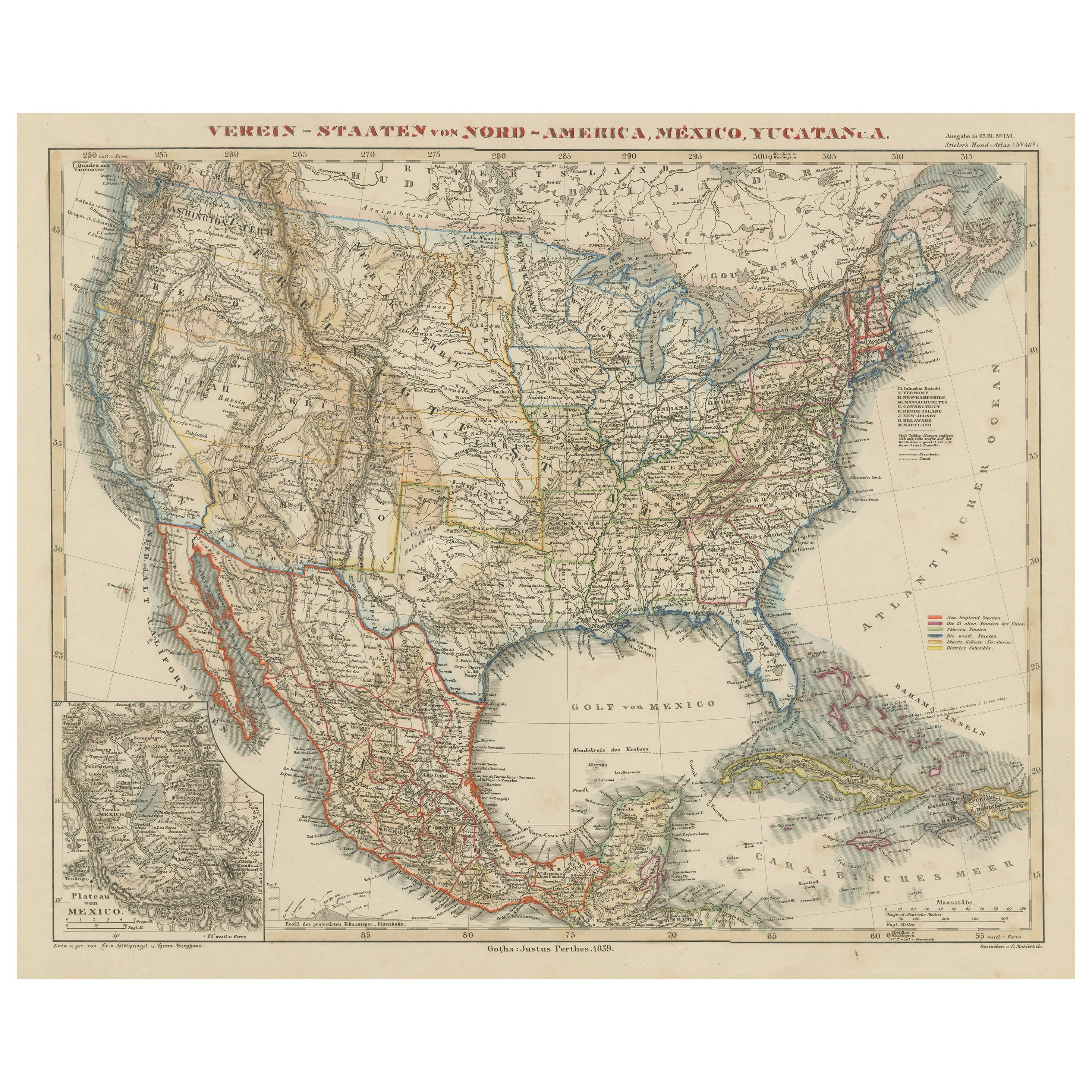
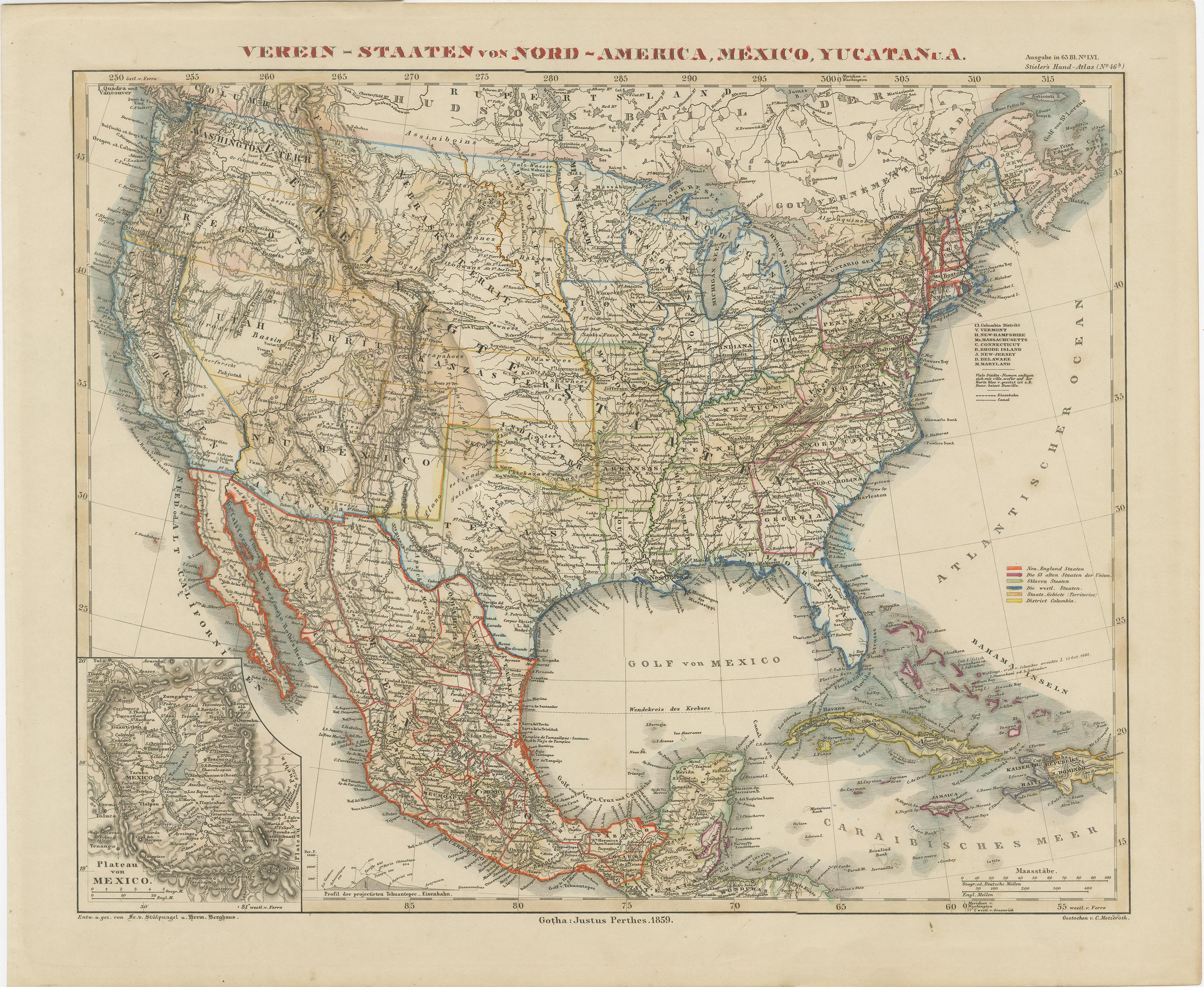
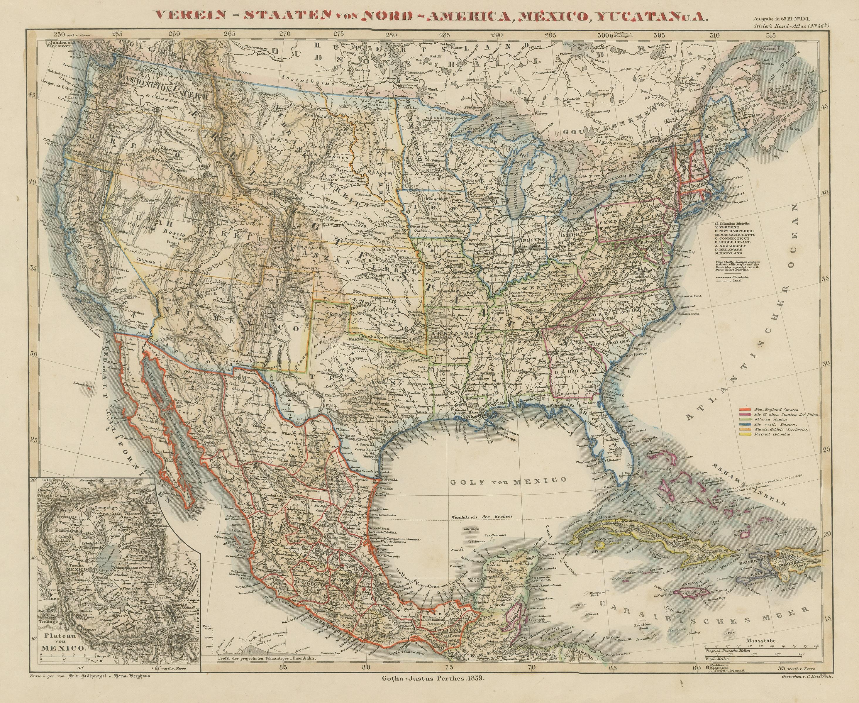
Antique Map of the United States with inset map of Mexico City Area, c.1859

€ 473

One of a kind: this is the sheet in the photographs. Ships from Langweer, the Netherlands.

Date
1859
Sheet size
37.3 × 45.5 cm (14.7 × 17.9 in)
Condition
Good
Reference
BG-13190-16

Condition

Wear consistent with age and use. General age-related toning, minor wear and foxing. Blank verso. Please study images carefully.
About this sheet

Antique map titled 'Verein-Staaten von Nord-America, Mexico, Yucatan u.a.'. Very detailed map of the United States of America showing the Caribbean. With an inset map of the surrounding area of Mexico city.

This map originates from Stielers Handatlas, published circa 1859. Stielers Handatlas (after Adolf Stieler, 1775–1836), formally titled Hand-Atlas über alle Theile der Erde und über das Weltgebäude (Handy atlas of all parts of the world and of the universe), was the leading German world atlas of the last three decades of the 19th and the first half of the 20th century. Published by Justus Perthes of Gotha (established 1785 and still existing there) it went through ten editions from 1816 to 1945. As with many 19th century publications, an edition was issued in parts; for example, the eighth edition was issued in 32 monthly parts.

More from Central America & Caribbean

Ask about this sheet

Antique Map of the United States with inset map of Mexico City Area, c.1859
1859 · Ref. BG-13190-16 · € 473
We reply by email, usually within one working day.